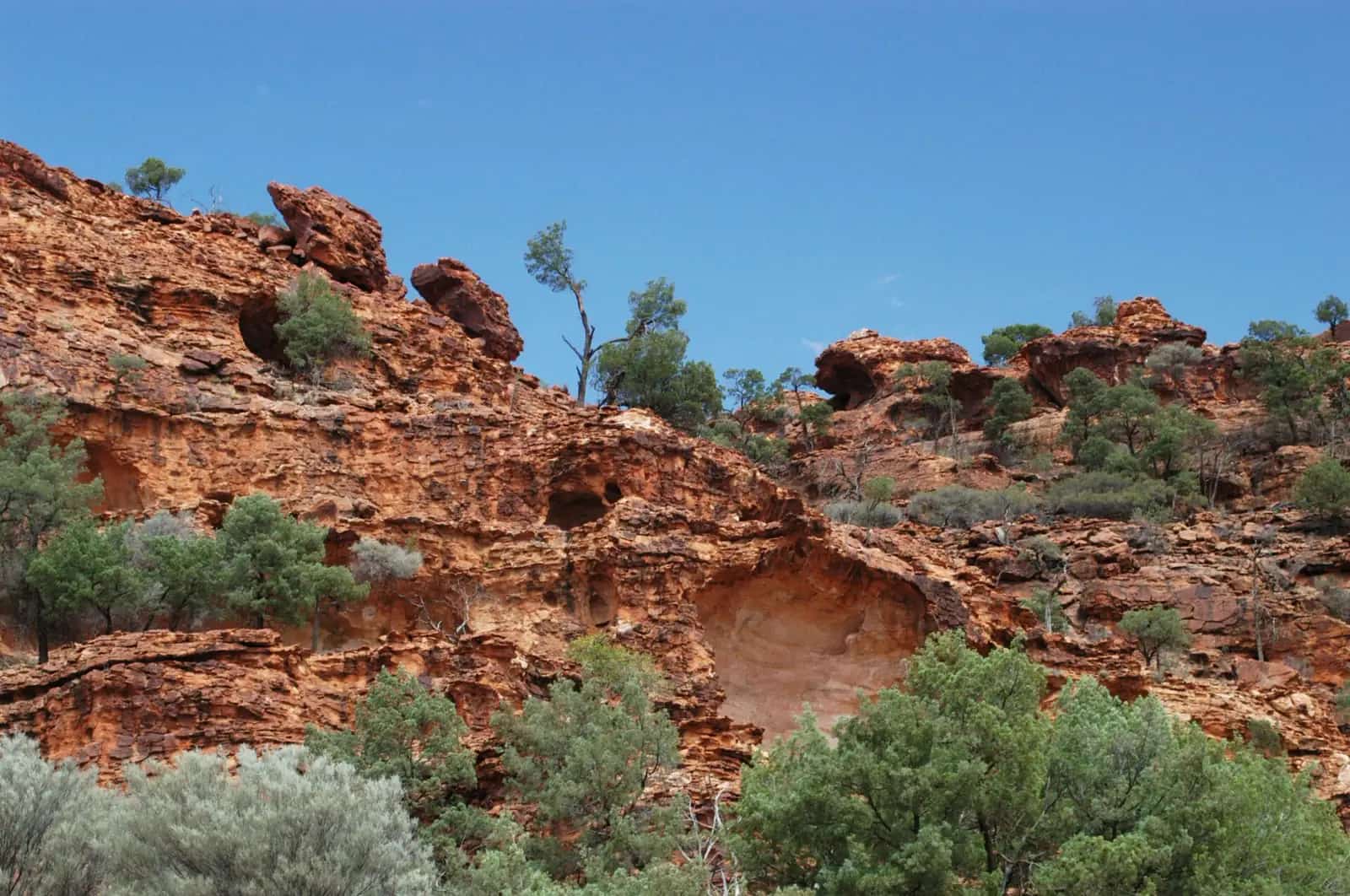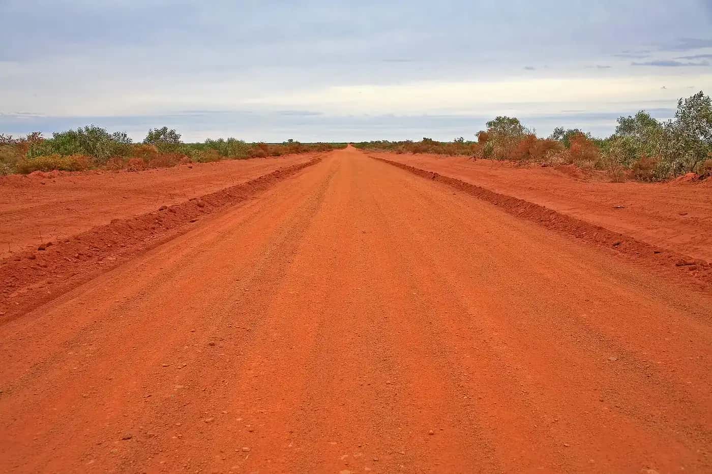
Destination NSW describes New England North West as rugged highlands and rich farmland, with off-the-beaten-track outdoor trips, heritage architecture, country music and cool-climate wine. That is the Armidale–Tamworth–Glen Innes side of the region. West of the slopes the same Destination NSW grouping includes Moree and Narrabri: black-soil plains, the Gwydir and Namoi rivers, and hot water from the Great Artesian Basin. For outback travellers this western half is the useful strip — a sealed approach from Brisbane or the Newell toward Walgett, Lightning Ridge and Bourke.
We do not yet have town guides for Tamworth, Armidale, Narrabri, Glen Innes or Inverell. Use Destination NSW for those centres. Town pages on this hub are Moree, Mungindi on the Barwon, plus Pilliga, Baradine, Boomi and Boggabilla on the Macintyre (NSW, not Goondiwindi).
Gwydir and Namoi country
Moree sits in the Gwydir Valley. The Gwydir and Namoi are inland rivers of the Murray–Darling system. They rise on the western fall of the Great Dividing Range, water the north-west slopes and plains, and eventually feed the Barwon–Darling. Walgett, on our outback NSW hub, is the Gamilaraay town at the Barwon–Namoi junction. That river geography is why cotton, grain and grazing dominate the plains, and why Destination NSW can talk about both tableland wine country and artesian spa towns in one regional name.
Tourism Moree states that the Moree Plains lie on the traditional lands of the Gamilaroi people (also spelled Gamilaraay / Gomeroi; Tourism Moree uses Gamilaroi or Gomeroi for the people and Gamilaraay for the language). The town name is described there as likely from a Gamilaroi word meaning “rising sun”, “long spring” or “water hole”. Destination NSW’s Moree and Narrabri area page notes a strong Aboriginal community and points to Bank Art Museum Moree’s Aboriginal art collection.
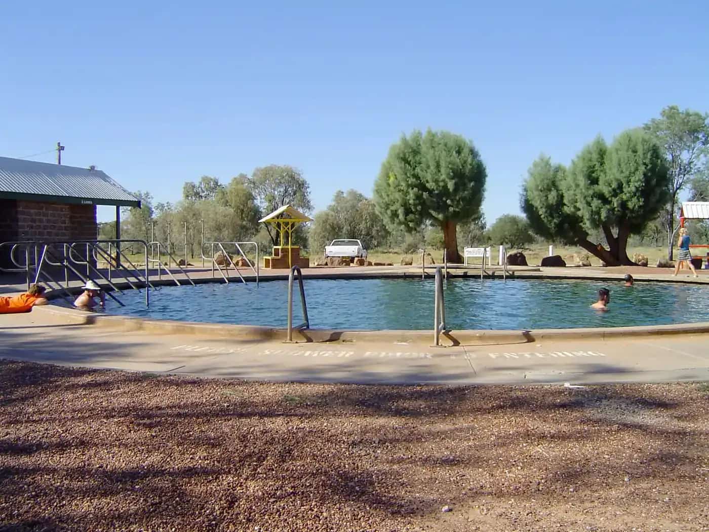
Moree and the artesian baths
Moree is Destination NSW’s spa town of the north-west. The Moree Artesian Aquatic Centre, 20 Anne Street, uses naturally heated Great Artesian Basin water; Destination NSW quotes about 41°C. Bores have drawn visitors here since the 1890s on that same Visit NSW account. Many motels in town advertise artesian baths; confirm operators at the visitor centre rather than from this page.
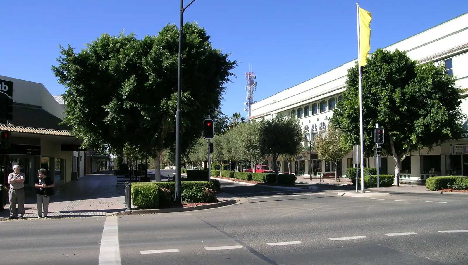
Other places Destination NSW names in Moree: a heritage and Art Deco walk from the Visitor Information Centre at 67 Alice Street; Mary Brand Park; Bank Art Museum Moree; and Stahmann Farms’ Trawalla pecan property, which Visit NSW calls the largest pecan farm in the Southern Hemisphere. Visit NSW also lists seasonal canoeing or kayaking on the Gwydir Wetlands, one of the significant inland wetland systems in NSW, and cotton-farm tours. The Moree Show (April) and Moree on a Plate (May) appear on that official calendar — check current dates locally.
Visit Moree Plains publishes road distances of 608 km to Sydney, 473 km to Brisbane, 392 km to Dubbo and 273 km to Tamworth. Regular flights serve Moree Regional Airport, 5 km from the centre; Destination NSW also lists the Sydney train at about 8.5 hours.
Highways into and out of the region
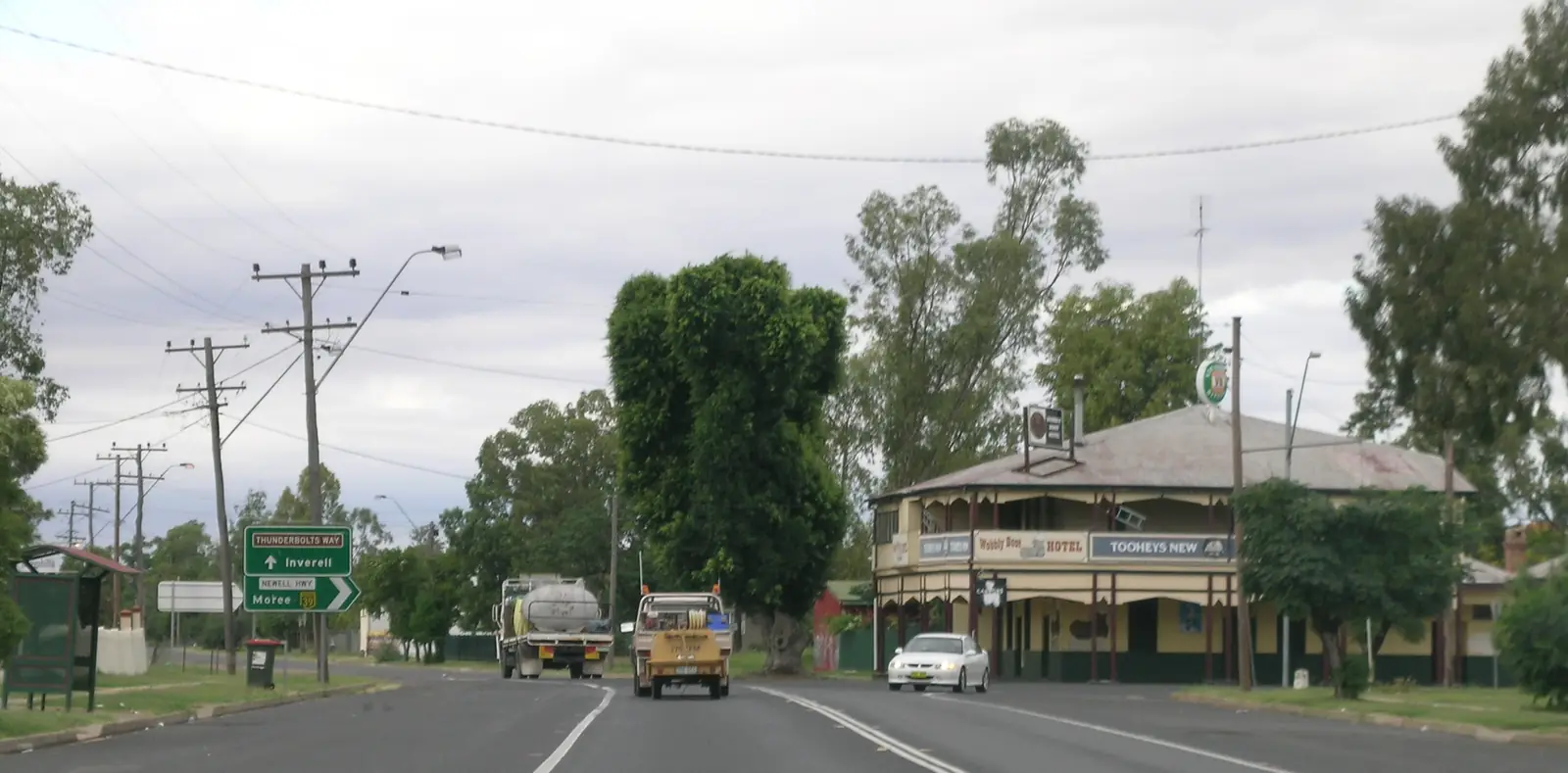
Moree sits at the Newell Highway and Gwydir Highway intersection. The Newell is the inland Melbourne–Brisbane route and the way most caravans arrive. The Gwydir Highway runs east toward Glen Innes and the Northern Tablelands and west toward Walgett shire. From Moree you can continue west and north-west into outback NSW toward Lightning Ridge and Bourke, or south on the Newell toward Narrabri, Coonabarabran in Explorer Country, and Dubbo.
Check Live Traffic NSW before you travel. The Newell carries road trains and harvest traffic; floodplain country around the Gwydir and Namoi can close in wet years even when the far-west gibber is dry. See road trains and wet season and road closures.
Climate and when to go
Moree Aero’s BOM record (station 053115, from 1995) is a plains climate: January mean maximum 34.6°C, July 18.4°C, about 577 mm of rain a year. That is hotter in summer than Coonabarabran and wetter than Nyngan. The New England tablelands east of here are a different climate again — cooler summers, colder winters, and the “cool-climate wine” Destination NSW mentions around Armidale. If you are coming for the artesian pools, they run year round on the centre’s published hours; summer is for early-morning outdoor time, winter is mild on the plains compared with the Warrumbungles or the Corner Country.
Aboriginal heritage and respectful travel
Stay on Gamilaraay / Gamilaroi Country with the same rules as elsewhere: ask before photographing people or closed sites, use accredited guides for cultural tours, and buy art from identified community enterprises. Tourism Moree names Boobera Lagoon, west of Boggabilla north of Moree, in connection with the Garriya (Rainbow Serpent) story; that is a culturally significant water place, not a casual swimming hole. See visiting Country respectfully and Aboriginal-led experiences.
How this hub fits a longer trip
From Brisbane, Moree is the natural first NSW overnight on the Newell before Lightning Ridge or Bourke. From Sydney, Destination NSW’s drive is just over seven hours — a long day, or a break at Tamworth or Narrabri. Westward, this region hands over to outback NSW at Walgett shire and the Barwon. South-west, Dubbo and the Warrumbungles sit in Explorer Country. The artesian story continues at Lightning Ridge’s bore baths; see the Great Artesian Spa Tour.
Start at the Moree Visitor Information Centre, 67 Alice Street (Destination NSW and NSW Government list weekday and shorter weekend hours). For park and wetland access, use NSW National Parks alerts rather than assuming a boat ramp is open. For the highlands half of the Destination NSW region — Armidale, Tamworth, Glen Innes — use Visit NSW until those town guides exist here.
Towns in this region
New England North West
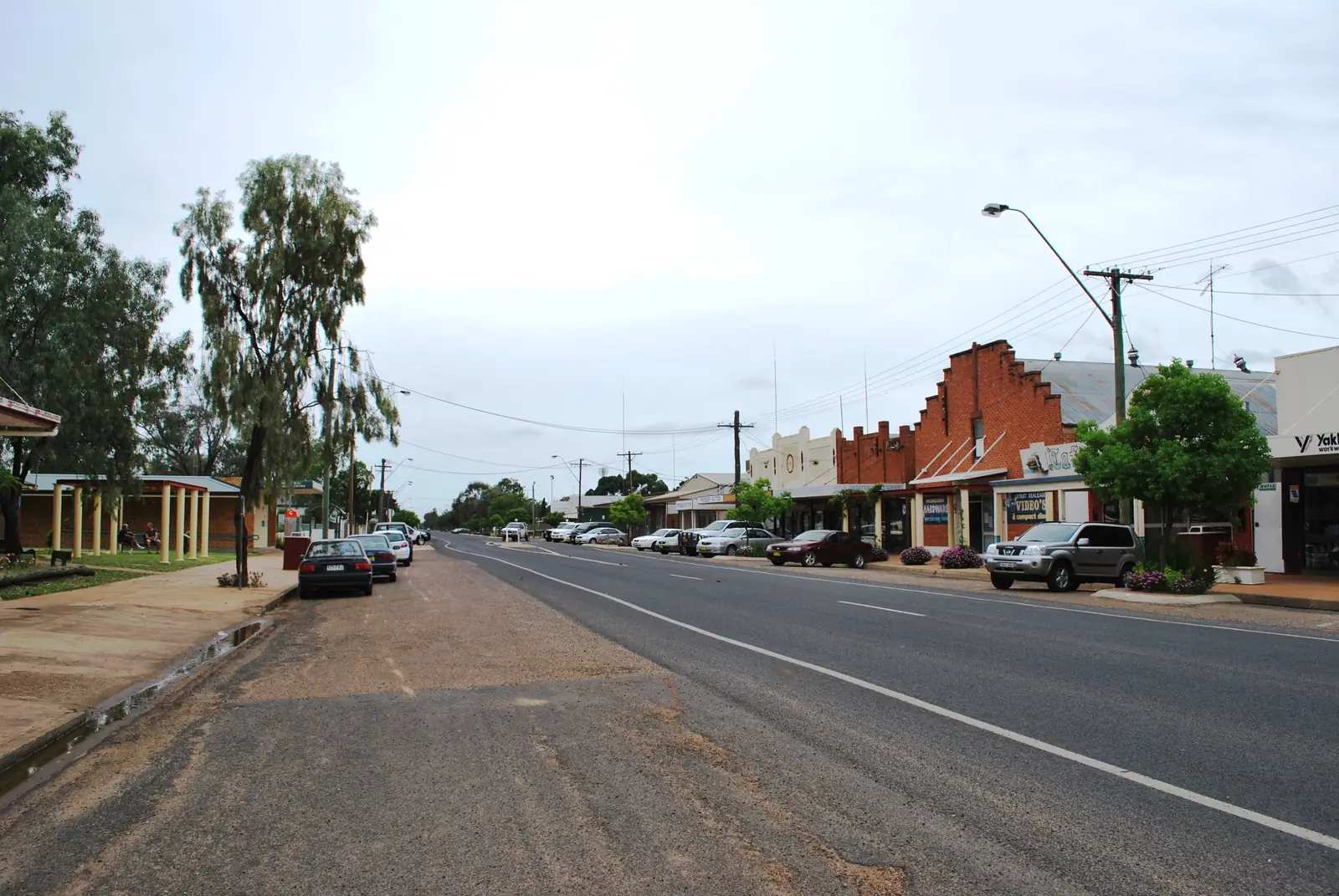
Moree
Moree travel guide: artesian baths at the Moree Artesian Aquatic Centre, Bank Art Museum Moree, pecan country and how to get there from Sydney or Brisbane.
Read · 8 min
New South Wales · New England North West
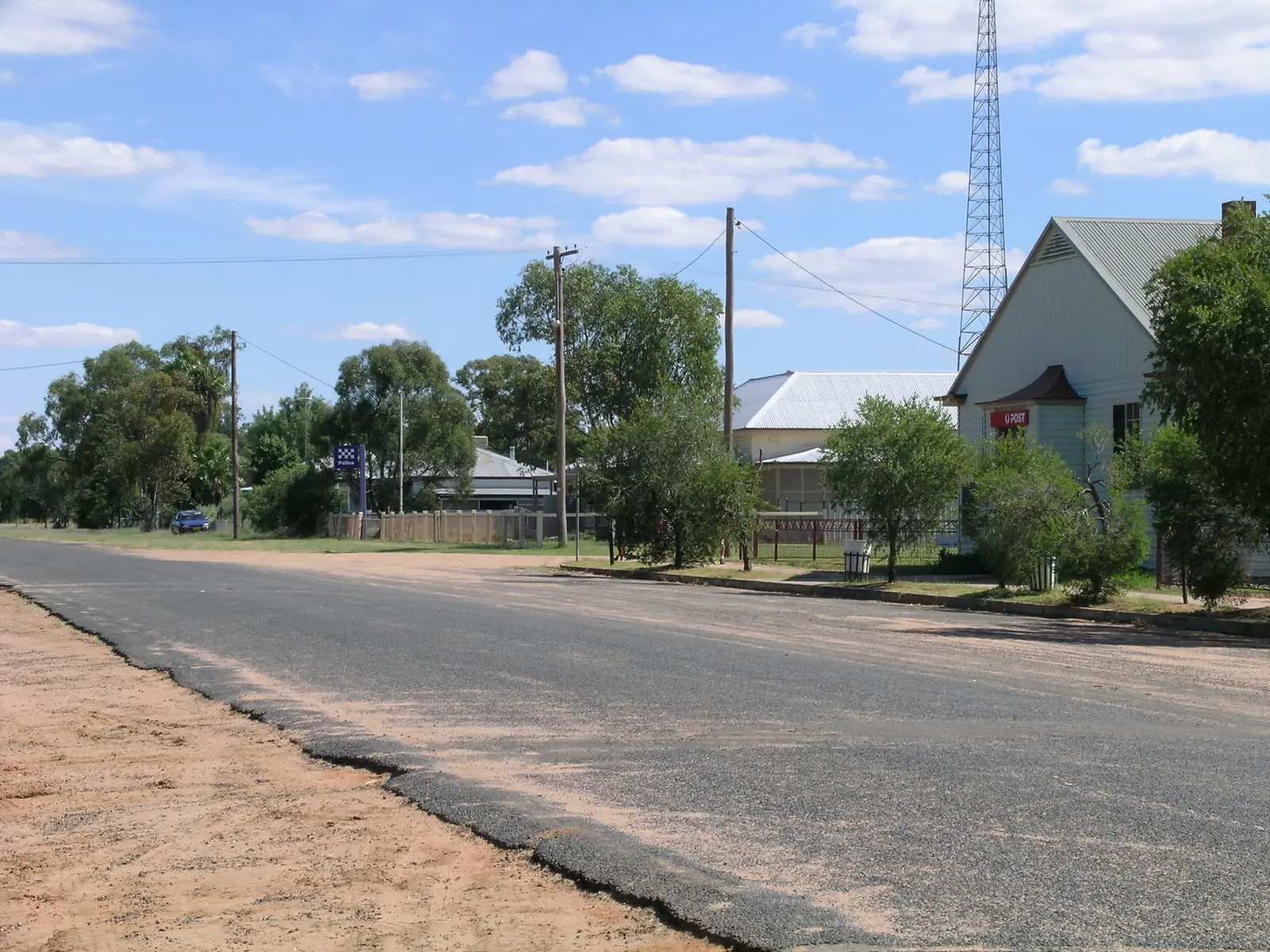
Mungindi
Mungindi travel guide: the Barwon River town split by the NSW–Queensland border, One Ton Post, hot artesian pool, Jolly Swagman and Carnarvon Highway services.
Read · 8 min
New South Wales · New England North West
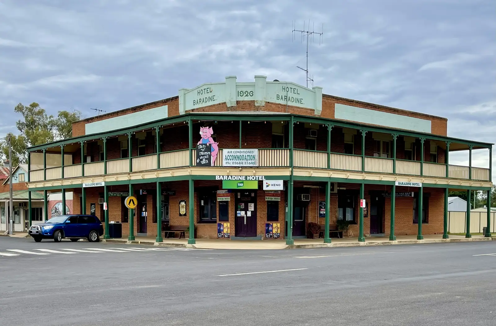
Pilliga
Pilliga travel guide: Narrabri Shire village on the edge of Pilliga State Forest — artesian bore baths, lagoon birdwatching, and NPWS forest accessed from Baradine. Not a Narrabri city page.
Read · 7 min
New South Wales · New England North West
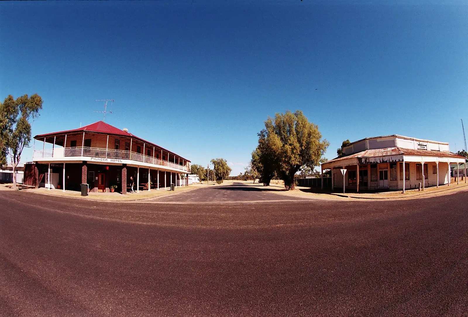
Baradine
Baradine travel guide: Warrumbungle Shire gateway to Pilliga Forest — NPWS discovery centre, Camp Cypress, Sandstone Caves and Sculptures in the Scrub. 45 km north-west of Coonabarabran.
Read · 6 min
New South Wales · New England North West
Boomi
Boomi travel guide: tiny Moree Plains Shire locality on the NSW side of the Macintyre — artesian pool, community co-op and caravan park. 94 km north of Moree. Not a city.
Read · 6 min
New South Wales · New England North West
Boggabilla
Boggabilla travel guide: NSW Macintyre River town opposite Goondiwindi — Visit NSW 13 km south of Goondiwindi and 115 km north of Moree. Gomeroi Country. Boobera Lagoon is culturally significant, not a swimming hole. No Goondiwindi town page.
Read · 6 min
Frequently asked questions
Where is New England North West?
Destination NSW uses New England North West for the highlands and north-west slopes, naming Armidale, Tamworth, Glen Innes and Inverell, and grouping Moree with Narrabri. The western plains around Moree are Gwydir and Namoi river country — cotton, artesian water and the Newell Highway — rather than the tablelands themselves.
How far is Moree from Sydney and Brisbane?
Visit Moree Plains lists 608 km from Sydney (about 7 hours) and 473 km from Brisbane (about 5 hours). Destination NSW gives just over seven hours from Sydney and 5.5 hours from Brisbane, a daily NSW TrainLink service of about 8.5 hours from Sydney, and Moree Regional Airport 5 km from town.
Are Moree’s pools really artesian?
Yes. Destination NSW says the Moree Artesian Aquatic Centre uses Great Artesian Basin water naturally heated to about 41°C. The Australian Government describes the Great Artesian Basin as underlying about a fifth of the continent, including this part of NSW.
What is Moree’s population?
7,070 people at the 2021 Census (ABS Urban Centre and Locality UCL114019). Median age 38.
When is the hottest weather?
Bureau of Meteorology averages for Moree Aero (053115) show a January mean maximum of 34.6°C, a July mean maximum of 18.4°C and mean annual rainfall of 577.2 mm. Summer is hot on the plains; the New England tablelands to the east are cooler.
Sources and further reading
Facts on this page were checked against these primary and official sources. Conditions change — confirm before you travel or buy.
- Country NSW — New England North West — Destination NSW
- Moree — Destination NSW
- Moree and Narrabri area — Destination NSW
- Visit Moree Plains — destinations — Moree Plains Shire / Tourism Moree
- Climate statistics for Moree Aero (053115) — Bureau of Meteorology
- Moree (2021 Census QuickStats, UCL114019) — Australian Bureau of Statistics
- Great Artesian Basin — Department of Climate Change, Energy, the Environment and Water
- Live Traffic NSW — Transport for NSW