At a glance
Sourced facts only. Distances and services change — confirm before you travel.
- Population
- 328 people (UCL322007, 2021 Census)Also 393 people at SAL30102 (SAL). Do not mix UCL and SAL in one headcount.
- Local government
- Murweh Shire
- Traditional Owners
- Bidjara named on this hub’s sourced Country FAQ — confirm wording at the Charleville deskTraditional Owners only as already sourced on this hub.
- Nearest regional city
- Charleville 84 km south and Tambo 119 km north on Outback Queensland’s Barringun-to-Karumba table
- Nearest fuel
- Confirm in the service town named under nearest regional city; this guide does not list bowser brands.
- Nearest hospital or clinic
- Confirm with Queensland Health — do not invent a clinic name.
- Mobile coverage
- Check Telstra and Optus coverage maps before travel; do not assume a signal on floodways, parks or unsealed approaches.
- Best time to visit
- May–September on Charleville Aero (044021) cooler mean maxima (July 19.8 °C; January 35.3 °C). QLDTraffic after rain.
Climate
Monthly means from the Bureau of Meteorology station Charleville Aero (044021). This is not a forecast. Commenced 1942. Elevation 302 m. Status: Open. Annual mean rainfall 492.6 mm. Augathella has no township table on the Queensland monthly-statistics index used here. Charleville Aero is the labelled Murweh Shire comparison.
| Month | Mean max (°C) | Mean min (°C) | Rainfall (mm) |
|---|---|---|---|
| Jan | 35.3 | 22.0 | 73.7 |
| Feb | 34.1 | 21.4 | 66.7 |
| Mar | 32.2 | 19.0 | 62.2 |
| Apr | 28.3 | 13.9 | 28.5 |
| May | 23.4 | 9.0 | 29.4 |
| Jun | 20.0 | 5.7 | 24.1 |
| Jul | 19.8 | 4.4 | 24.0 |
| Aug | 22.2 | 6.0 | 19.4 |
| Sep | 26.4 | 10.1 | 23.7 |
| Oct | 30.1 | 14.6 | 36.6 |
| Nov | 32.9 | 18.1 | 46.5 |
| Dec | 34.9 | 20.5 | 55.8 |
Augathella in pictures
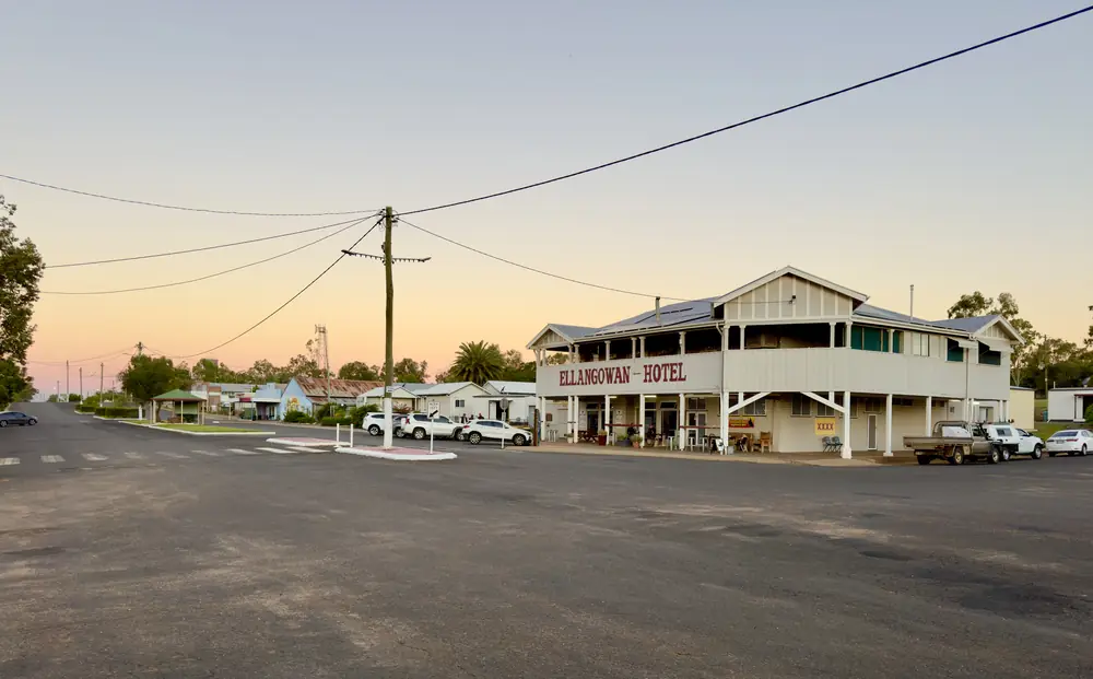
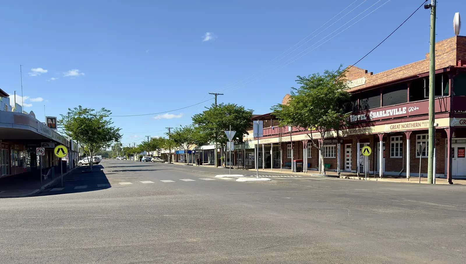
The Ellangowan Hotel on Augathella's main streetPhoto: Kgbo · CC BY-SA 4.0 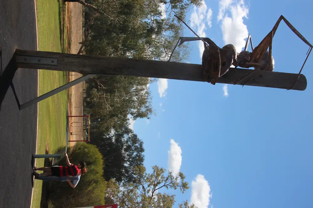
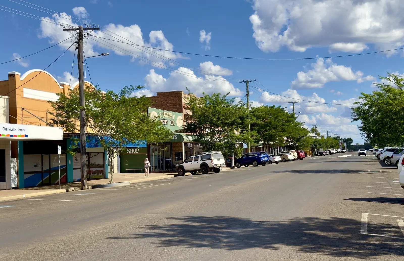
The Big Meat Ant at AugathellaPhoto: Joshua Ryan · CC0 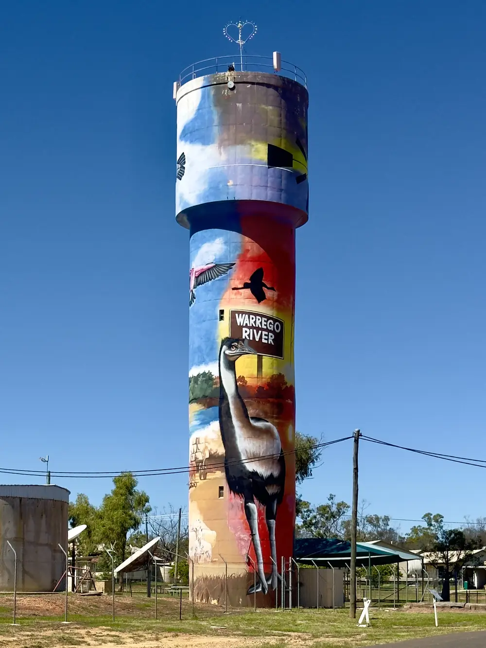
Water-tower art in AugathellaPhoto: Kgbo · CC BY-SA 4.0 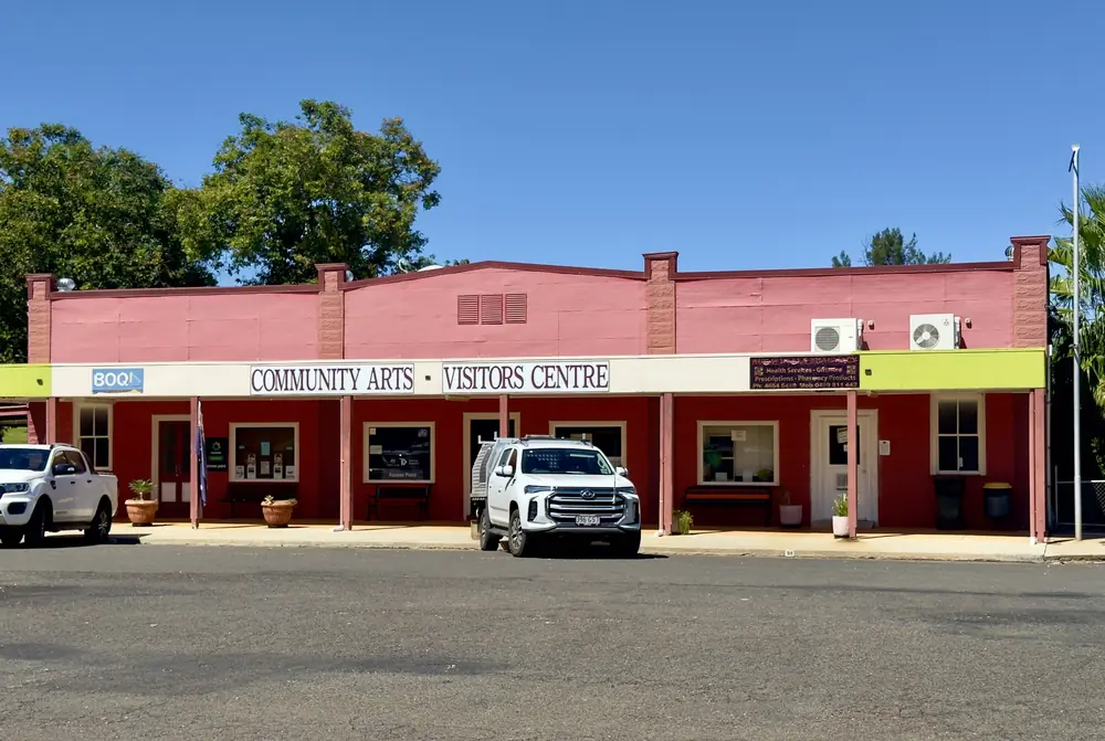
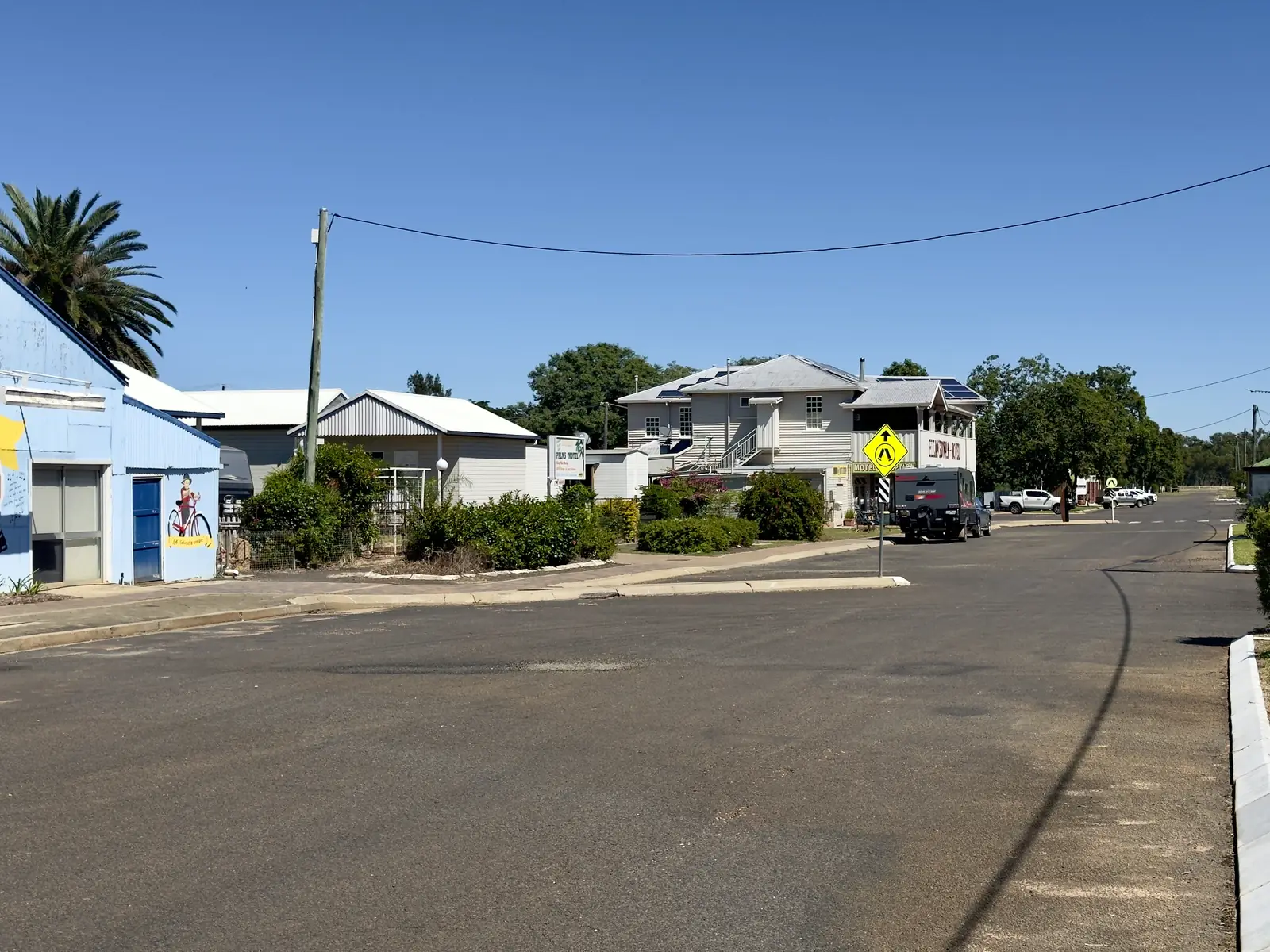
Augathella's visitors centrePhoto: Kgbo · CC BY-SA 4.0
Augathella sits on the Warrego River in Murweh Shire, on the Matilda Way through Queensland’s south-west. Outback Queensland’s Barringun-to-Karumba table puts it 84 km north of Charleville and 119 km south of Tambo. The same table puts Cunnamulla 281 km south via Charleville. This is sealed-highway country on the Landsborough and Mitchell highway approaches. You do not need a 4WD to reach town in ordinary weather. You do need QLDTraffic after rain on the Warrego, because an 84 km run to Charleville is no use if the highway is closed.
Outback Queensland and Experience Charleville both call the town Meat Ant Country. The 2021 Census counted 328 people in the urban centre. Travellers stop for Meat Ant Park, the Kenniff Tree, Main Street sculptures and murals, and a quieter night than Charleville’s Cosmos and bilby timetable.
Where it is, and how far
Augathella is the Murweh town between Charleville and Tambo on the inland touring spine that Outback Queensland maps as Barringun–Cunnamulla–Charleville–Augathella–Tambo–Blackall and on toward Longreach. If you are driving the Matilda Way toward the central west, this is the first small town north of Charleville. If you are coming from the Warrego Highway, leave Charleville north rather than continuing south toward Cunnamulla. Murweh Shire Council names Charleville, Augathella, Morven and Cooladdi as the shire’s towns. Morven sits on the Warrego Highway east of Charleville; this hub does not invent a kilometre figure that is not on the Outback Queensland table.
| Place | Distance from Augathella (Outback Queensland Barringun–Karumba table) |
|---|---|
| Charleville | 84 km |
| Tambo | 119 km |
| Blackall | 220 km |
| Cunnamulla | 281 km |
| Barcaldine | 326 km |
| Longreach | 433 km |
Roma and Mitchell are Warrego Highway neighbours to the east of Charleville, not a 20-minute side road from Augathella. Use Charleville as the service-town junction if you are joining the Matilda Way from Brisbane.
Facts at a glance
Population. Australian Bureau of Statistics 2021 Census, Urban Centres and Localities UCL322007: 328 people, listed as Augathella (L). Median age 51. Sex split 47.4% male / 52.6% female. Use the ABS QuickStats page for Augathella UCL. The suburbs-and-localities geography (SAL30102) counted 393 people, median age 47. Do not mix the two. The UCL is the town count.
Climate. Bureau of Meteorology station AUGATHELLA POST OFFICE, 044002 appears on BOM’s Queensland rainfall-station list (location about 25.80°S, 146.59°E; record from March 1889). BOM does not publish a monthly climate-averages table for that site, so this guide does not invent monthly mean maxima for Augathella itself. The nearest published all-years table on the Matilda Way is Charleville Aero, 044021, 84 km south: commenced 1942, elevation 302 m, January mean maximum 35.3 °C, July mean maximum 19.8 °C, July mean minimum 4.4 °C, annual mean rainfall 492.6 mm (81 years, 1942–2026). Full columns: BOM Charleville Aero. Murweh Shire’s own climate snapshot, written for the shire rather than the town, gives January summer highs averaging 35.0 °C, July winter lows around 4.1 °C, and annual rainfall 490.5 mm. See Augathella weather.
Visitor centre. Experience Charleville lists the Augathella Visitor Information Centre on Main Street. Phone (07) 4654 5244. Hours on that page: Monday to Thursday 8.30am–4.30pm, closed 12.30pm–1.30pm for lunch; Saturday 9am–12pm. Free Wi-Fi, parking and toilets are listed. Confirm before a public holiday. Meat Ant Park is next to the town library on the Outback Queensland skate-park listing.
Traditional Owners
Murweh Shire Council’s About Murweh page states: the council acknowledges the Bidjara people as the Traditional Custodians of the land within the Murweh Shire, and pays respects to Elders past and present. That is a shire-wide sentence, not a plaque text written for Augathella township only. This guide follows the council wording rather than flattening neighbouring nations onto the townsite. Read the About Murweh page before you treat a single-nation label as settled for a school project.
History
Outback Queensland’s Augathella town page says the town owes its existence to bullock teams that camped along the Warrego, and that it was home and stomping ground to the Kenniff brothers. Experience Charleville repeats the bullock-camp and Kenniff story. The Kenniff Tree listing describes a Coolibah tree where Patrick and James Kenniff tethered horses, with a history display at the tree. Outback Queensland says Patrick Kenniff is believed to be the last bushranger hung in Queensland. This hub stops where those pages stop. Gazettal trivia, hotel lists and railway dates that are not on the sourced Murweh or Outback Queensland pages are omitted.
The same town page names the 1956 film Smiley, based upon a local identity, as something you can watch at Boadicea Gallery & Cinema with a heritage photograph exhibition. Wrought-iron sculptures and murals on the main street are listed as the walk that ties that story to the streetscape.
Things to do
Meat Ant Park, 73 Main Street. Murweh Shire’s parks page lists a giant meat-ant sculpture, history boards, playground, public toilets and a public BBQ. Outback Queensland’s attraction page says the giant sculpture is over a million times the size of the actual ant, and that the town nickname comes from the local football team, the Mighty Meat Ants. That is the stop even if you only have 20 minutes. See things to do in Augathella.
Augathella Skate Park is listed by Outback Queensland at Meat Ant Park, next door to the town library, with playground, picnic tables, mulberry and Gumbi Gumbi trees.
Wrought iron sculptures and street murals. Outback Queensland names a Heritage Trail of painted murals, silo art and wrought-iron sculptures on Main Street, covering sheep stations, the film Smiley, football teams, dancing brolgas and racehorses.
Kenniff Tree. Coolibah tree and history boards on the Outback Queensland listing. Confirm the street location at the visitor centre; this facts set does not invent a corner if the listing does not print one in the body we fetched.
Boadicea Gallery & Cinema. Heritage photographs and the 1956 film Smiley, named on the Outback Queensland and Experience Charleville town pages. Hours were not on those pages, so they are not invented here. Ask on (07) 4654 5244.
Brassington Park, Main Street, attached to the golf course: sports oval, kids park, public toilets and showers. Murweh lists no camping allowed.
There is no national park inside Augathella. Carnarvon country is a longer drive from the Roma–Injune side of the region. For Charleville’s Cosmos Centre, bilbies and RFDS visitor centre, plan 84 km south.
Where to stay
Murweh and Outback Queensland pages used for this research describe parks, the visitor centre and the Easter weekend. They do not publish a ranked motel inventory on the town hub. Categories that typically exist in a Matilda Way town — motel or hotel, caravan park, river camping, event camping at the rodeo grounds — should be confirmed at the visitor centre.
Outback Queensland’s Augathella Easter Weekend listing names camping at the Warrego River Campground or the Augathella Rodeo Grounds, and names Augathella Palms Motel and the Augathella Motel and Caravan Park as bookable stays for that event. Experience Charleville lists Augathella Diggers Rodeo Grounds on Elemes Street: all-weather camping only when an event is being held and/or you have livestock, with toilets, showers and access to power; call (07) 4656 8355 to register. Those are official named facilities, not a review. Named operators still change hands; confirm before you treat a listing as open.
- How to choose a type of stay: Augathella accommodation
- Camping and van sites: Augathella caravan parks
- Phone the visitor centre: (07) 4654 5244
- Operator enquiries for this site: feature your business
If Augathella is full, Charleville is 84 km south and has more rooms, parks and the Cosmos Centre. That is a distance fact, not a booking guarantee.
Caravan and camping
Vans use Augathella as a quieter Matilda Way overnight than Charleville. Murweh’s mayor’s message invites self-sufficient travellers to budget camping in Morven and Augathella. Brassington Park is explicitly no camping. Diggers Rodeo Grounds camping is event-and-livestock only on the Experience Charleville page. The Easter listing names a Warrego River Campground. Town caravan-park trading names beyond that Easter page are not copied here as a permanent round-up. Ask on Main Street for powered sites, dump points and stay limits. Read Augathella caravan parks and outback camping.
After rain, the Warrego is the constraint. A river camp that is pleasant in winter can be closed in a wet summer. QLDTraffic first.
Fuel and services
Augathella is a small town of 328 people in the urban centre. Assume fewer opening hours than Charleville. This guide does not list bowser brands. For current services, start with Murweh Shire Council and the visitor centre. Fill up in Charleville if you arrive after Saturday midday, when the Augathella centre is listed as closed, or if you are particular about fuel type.
Murweh’s About page notes Charleville Airport (Qantas and Rex to Brisbane), Greyhound and Queensland Rail’s Westlander as shire access — those services terminate on Charleville, not on Augathella’s Main Street. For anything beyond basic travel needs, use Charleville.
Road access
The Matilda Way through Augathella is the sealed Landsborough / Mitchell highway corridor north of Charleville. Outback Queensland’s table is driving kilometres, not a guarantee of time behind a road train. After rain on the Warrego, check QLDTraffic and 13 19 40. Do not drive around closed signs to keep a camping booking.
South: Charleville, then the Warrego east toward Mitchell and Roma or south on the Mitchell Highway toward Cunnamulla. North: Tambo, Blackall, Barcaldine and Longreach on the same table. Murweh names the Landsborough, Mitchell and Warrego highways as the shire’s sealed network. The Matilda Way guide covers the longer inland spine. The Great Artesian Spa Tour is a Warrego story through Mitchell more than an Augathella story; join it from Charleville if that is your trip.
Nearby parks and towns
Sites named on Murweh or Outback Queensland pages (not national parks in town):
- Meat Ant Park, 73 Main Street
- Brassington Park (no camping)
- Kenniff Tree
- Main Street sculptures and murals / Heritage Trail
- Boadicea Gallery & Cinema
Towns on this site:
- Charleville — 84 km south; Cosmos Centre, Bilby Experience, RFDS visitor centre
- Mitchell — east of Charleville on the Warrego; Great Artesian Spa
- Cunnamulla — 281 km south on the same distance table
- Roma — Warrego service centre if you are arriving from Brisbane rather than from Tambo
Tambo is the next Matilda Way town north. Morven is the Murweh neighbour on the Warrego Highway.
When to go, and how long
Charleville Aero’s January mean maximum of 35.3 °C is hot for a midday walk at Meat Ant Park. July’s 19.8 °C mean maximum is the comfortable walking season; July’s 4.4 °C mean minimum is why a river camp needs a warm layer. Annual rainfall around 490 mm on the shire snapshot still includes flood years — the mean hides the wet extremes. Forty-five minutes at Meat Ant Park and the Kenniff Tree is the minimum. A night lets you walk Main Street in a cooler hour. Two nights only if the visitor centre has confirmed a gallery screening, an Easter program, or an open river camp.
Outback Queensland’s town page flags an annual Easter Weekend. The 2026 event listing described a rodeo, billy-cart races, live entertainment and horse races, with camping named at the Warrego River Campground or rodeo grounds. Confirm the next year’s dates with the visitor centre rather than treating one year’s program as frozen.
Operators who want a checked listing: feature your business. The listings slot on this hub stays empty until then.
Plan this trip
Tell us the dates, who you are travelling with and where you need help. We reply with planning notes for Augathella — we are not a booking agent.
Events and road-conditions newsletter
Occasional notes on outback festivals, race days and official road-condition sources — not a daily blast. We use these details only to send the newsletter.
Queensland · South West
Augathella accommodation
Where to stay in Augathella: confirm motel, caravan park and river camping at the Main Street visitor centre. Official Murweh and Outback Queensland stay types only.
Read · 4 min
Queensland · South West
Augathella caravan parks
Camping in Augathella: Murweh budget camping, Diggers Rodeo Grounds event camping, Warrego River Campground as named on official pages. Confirm powered sites at the visitor centre.
Read · 3 min
Queensland · South West
Augathella weather
Augathella climate: BOM has no monthly averages table for station 044002. Use Charleville Aero (044021), 84 km south: January mean max 35.3 °C, July 19.8 °C, 492.6 mm rain.
Read · 4 min
Queensland · South West
Things to do in Augathella
Things to do in Augathella: Meat Ant Park and giant ant, Kenniff Tree, Main Street sculptures and murals, Boadicea Gallery, and the visitor centre on Main Street.
Read · 4 min
Frequently asked questions
How far is Augathella from Charleville and Tambo?
Outback Queensland’s Barringun-to-Karumba distance table puts Augathella 84 km north of Charleville and 119 km south of Tambo on the Matilda Way.
What is Augathella’s population?
328 people at the 2021 Census for the Augathella urban centre (UCL322007). The suburbs-and-localities figure for SAL30102 is 393 people and is not the town count.
Why is Augathella called Meat Ant Country?
Outback Queensland and Murweh Shire both name Meat Ant Park and the giant meat-ant sculpture. Outback Queensland says the nickname comes from the local football team, the Mighty Meat Ants.
Where is the Augathella visitor centre?
Experience Charleville lists the Augathella Visitor Information Centre on Main Street. Phone (07) 4654 5244. Hours on that page: Monday to Thursday 8.30am–4.30pm (closed 12.30pm–1.30pm for lunch) and Saturday 9am–12pm.
What is the weather like in Augathella?
BOM does not publish a monthly climate-averages table for Augathella Post Office (044002). Use Charleville Aero (044021), 84 km south: January mean maximum 35.3 °C, July 19.8 °C, annual mean rainfall 492.6 mm.
Whose Country is Augathella on?
Murweh Shire Council acknowledges the Bidjara people as the Traditional Custodians of the land within the Murweh Shire.
Can I camp in Augathella?
Murweh’s mayor’s message invites self-sufficient travellers to budget camping in Augathella. Brassington Park is listed as no camping. Experience Charleville names Augathella Diggers Rodeo Grounds camping only during events or with livestock. Confirm at the visitor centre.
Sources and further reading
Facts on this page were checked against these primary and official sources. Conditions change — confirm before you travel or buy.
- Augathella 2021 Census QuickStats (UCL322007) — Australian Bureau of Statistics
- Augathella 2021 Census QuickStats (SAL30102) — Australian Bureau of Statistics
- Climate statistics for Charleville Aero (044021) — Bureau of Meteorology
- Outback Queensland — Augathella — Outback Queensland Tourism Association
- Augathella Meat Ant Park — Outback Queensland Tourism Association
- Murweh Shire — Parks — Murweh Shire Council
- About Murweh — Murweh Shire Council
- Experience Charleville — Visitor Centres — Murweh Shire Council
- Outback Queensland travel distances — Outback Queensland Tourism Association
- QLDTraffic — Queensland Government