At a glance
Sourced facts only. Distances and services change — confirm before you travel.
- Population
- 5,667 people (UCL314005, 2021 Census)Also 5,692 people at SAL30252 (SAL). Do not mix UCL and SAL in one headcount.
- Local government
- Banana Shire
- Nearest regional city
- Gladstone is the named Banana Shire coastal neighbour on Sandstone Wonders pages used on this hub — confirm the kilometre there
- Nearest fuel
- Confirm in the service town named under nearest regional city; this guide does not list bowser brands.
- Nearest hospital or clinic
- Confirm with Queensland Health — do not invent a clinic name.
- Mobile coverage
- Check Telstra and Optus coverage maps before travel; do not assume a signal on floodways, parks or unsealed approaches.
- Best time to visit
- May–September on Thangool Airport (039089) cooler mean maxima (July 23.3 °C; January 33.7 °C). QLDTraffic after rain.
Climate
Monthly means from the Bureau of Meteorology station Thangool Airport (039089). This is not a forecast. Commenced 1929. Elevation 193 m. Status: Open. Annual mean rainfall 658.8 mm. Thangool Airport is the labelled Banana Shire comparison (Sandstone Wonders: Thangool 11 km east of Biloela), not a Biloela post-office gauge. Biloela DPI (039006) is closed.
| Month | Mean max (°C) | Mean min (°C) | Rainfall (mm) |
|---|---|---|---|
| Jan | 33.7 | 19.8 | 94.2 |
| Feb | 33.2 | 19.7 | 92.1 |
| Mar | 32.1 | 18.1 | 64.8 |
| Apr | 29.6 | 14.1 | 33.5 |
| May | 26.3 | 10.1 | 37.5 |
| Jun | 23.5 | 7.0 | 30.6 |
| Jul | 23.3 | 5.8 | 28.5 |
| Aug | 25.1 | 6.4 | 23.2 |
| Sep | 28.3 | 9.8 | 24.2 |
| Oct | 30.7 | 13.7 | 59.3 |
| Nov | 32.0 | 16.5 | 74.8 |
| Dec | 33.2 | 18.6 | 93.5 |
Biloela in pictures
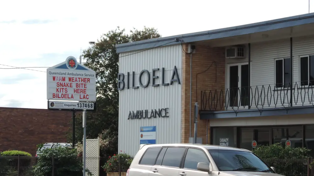
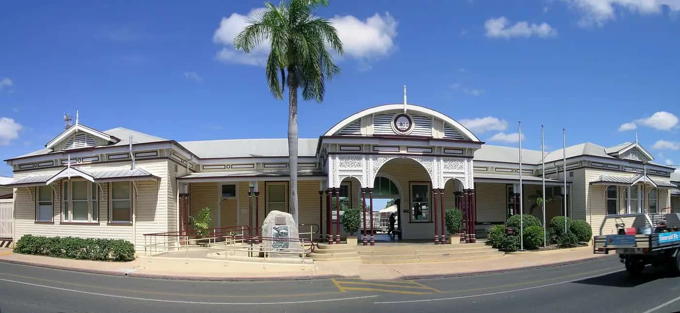
Ambulance station in BiloelaPhoto: Kerry Raymond · CC BY-SA 3.0 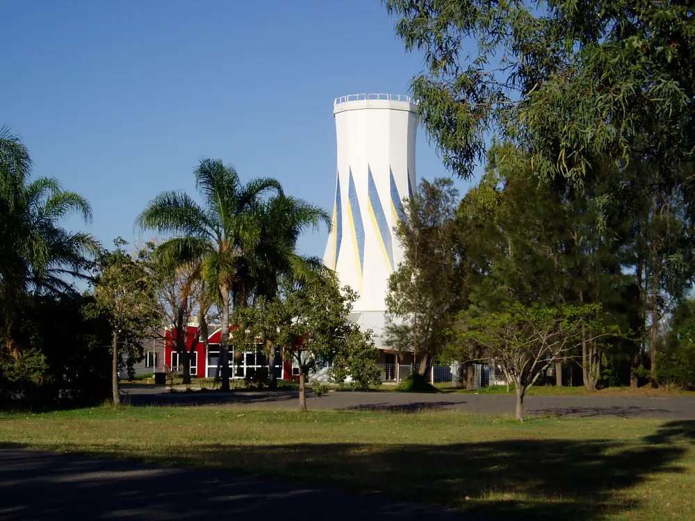
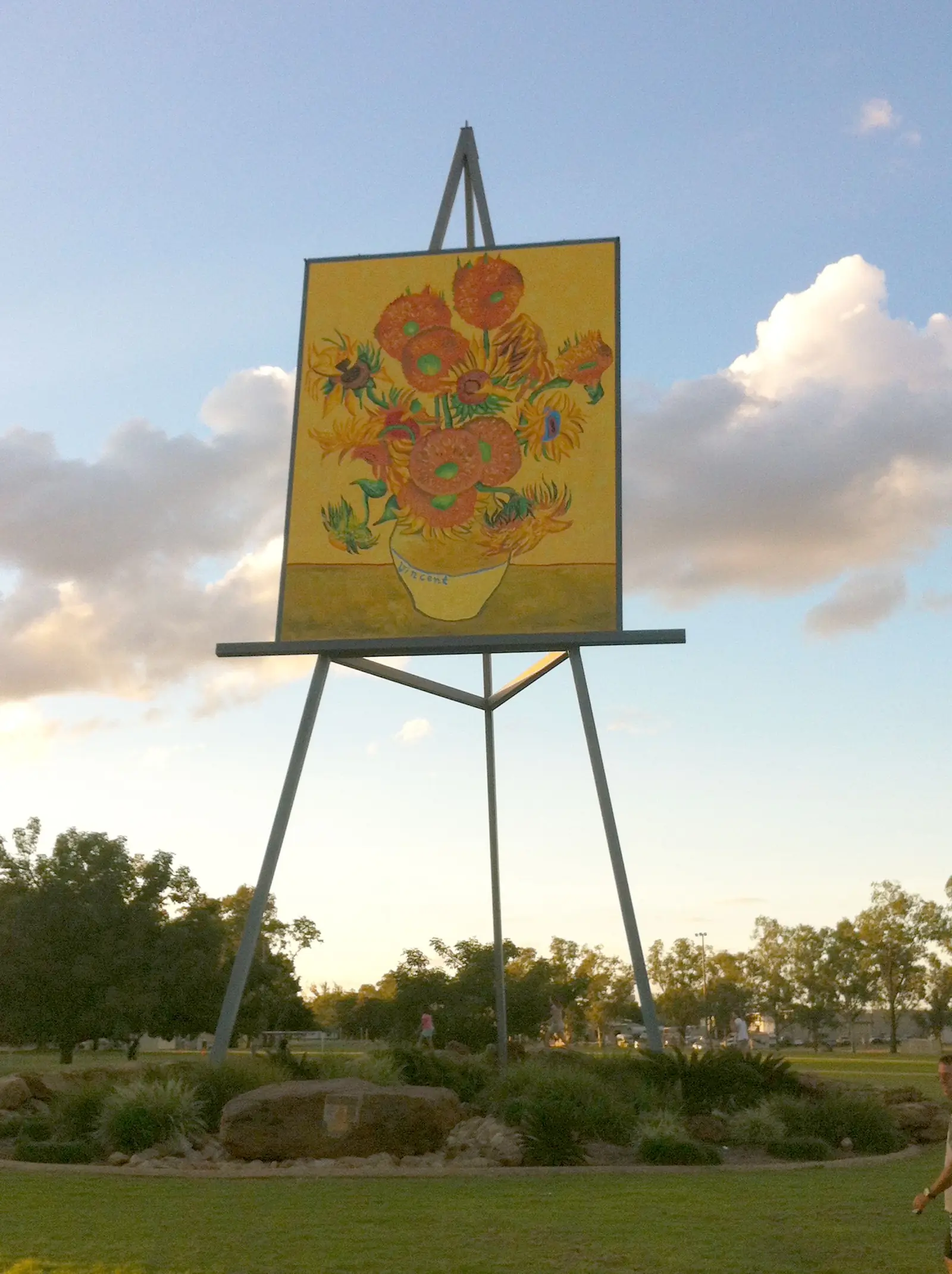
Bilo Silo in BiloelaPhoto: Original uploader was Lungfish83 at en.wikipedia · Public domain 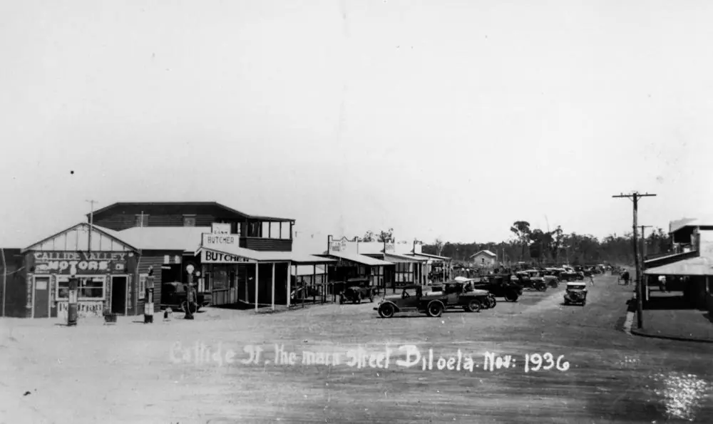
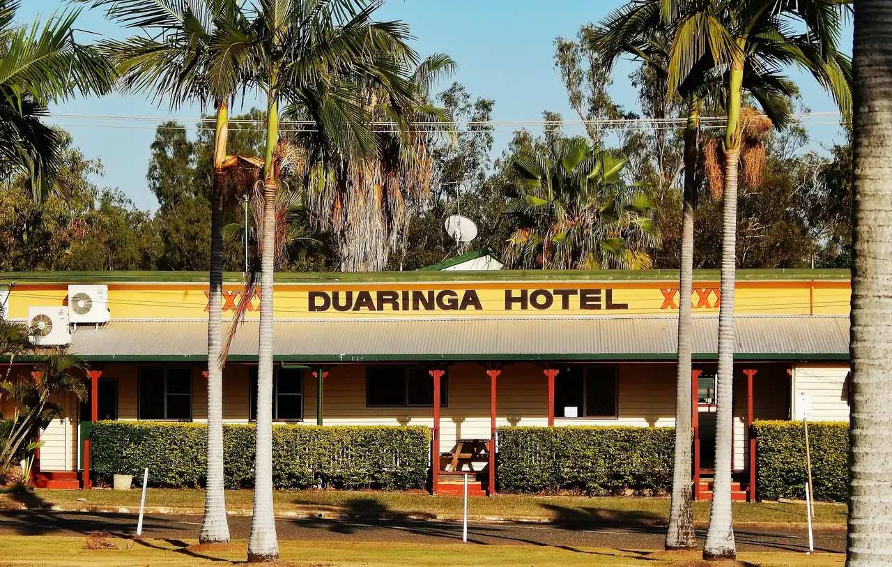
Callide Valley Motors in BiloelaPhoto: Item is held by John Oxley Library, State Library of Queensland. · Public domain 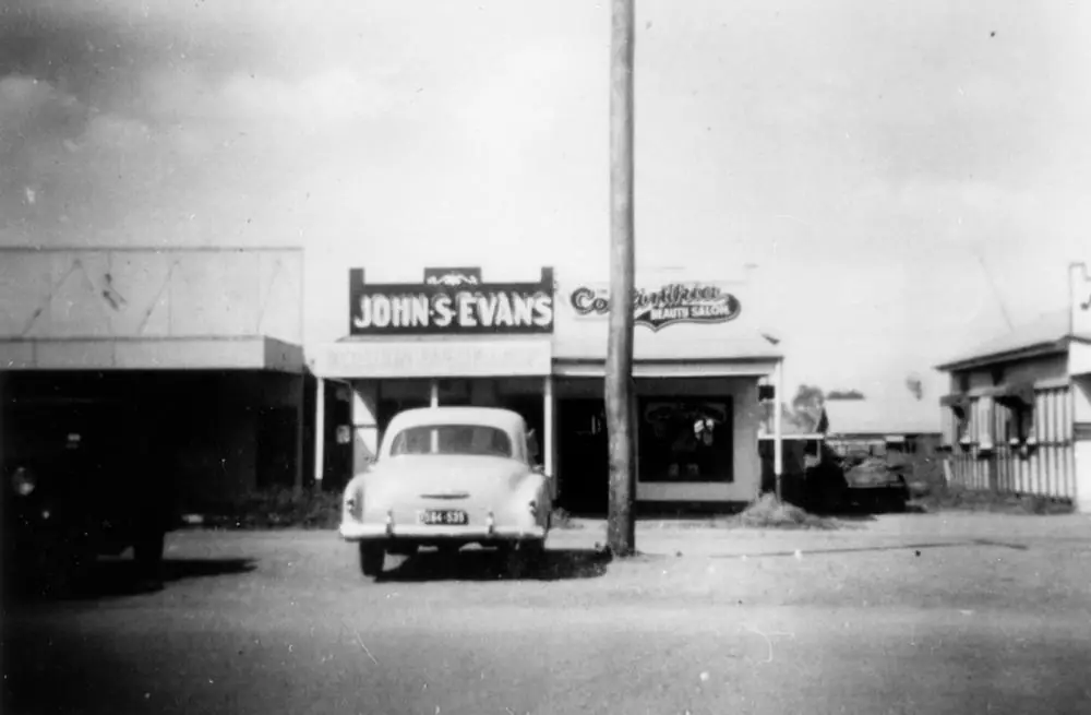
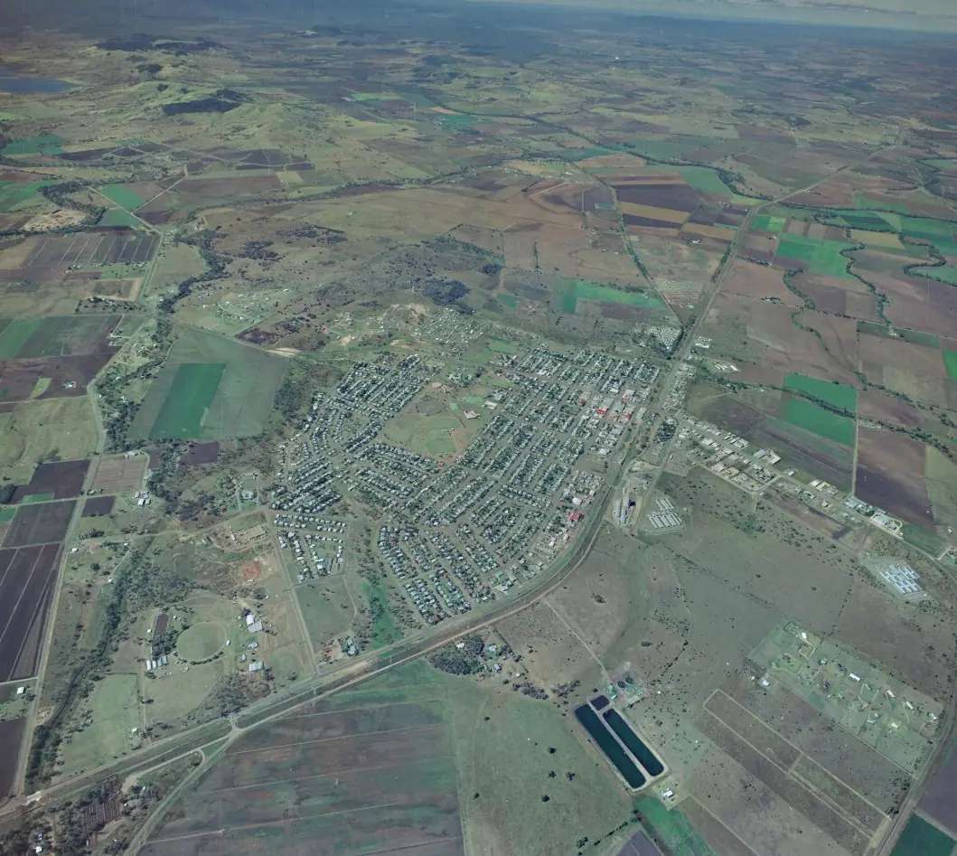
Small businesses in BiloelaPhoto: Item is held by John Oxley Library, State Library of Queensland. · Public domain
Biloela sits at the junction of the Dawson and Burnett highways in Banana Shire, central Queensland, on the Capricorn and Burnett hub. Banana Shire Council puts the town 120 km west of Gladstone and an easy drive from Rockhampton. Sandstone Wonders’ visitor-guide map lists Biloela to Gladstone 120 km and Biloela to Brisbane 574 km, with approximate times of 1.3 hours from Gladstone, 1.5 hours from Rockhampton and 6.5 hours from Brisbane. Thangool is 11 km east; Banana (the town) is 46 km west. This is Callide Valley farming, grazing and industry country, not Channel Country. Use Biloela to see Queensland Heritage Park, restock, and decide whether you are heading west toward the Dawson, east to Gladstone, or north toward Rockhampton.
Nearby on this site: Duaringa and Emerald. This page does not invent a Biloela–Emerald kilometre figure the official maps do not publish.
Where it is, and how far
Banana Shire covers 28,610 square kilometres with a shire population of 14,513 on the council shire-information page. Biloela is the main town. Distances below are from Banana Shire, Sandstone Wonders town pages or the visitor-guide map.
| Place | Distance or time (official wording) |
|---|---|
| Gladstone | 120 km west of Gladstone (Banana Shire); 120 km and about 1.3 hours (Sandstone Wonders) |
| Rockhampton | About 1.5 hours (Sandstone Wonders getting-here) |
| Brisbane | 574 km (visitor-guide map); about 6.5 hours |
| Sunshine Coast | About 5.5 hours (Sandstone Wonders) |
| Thangool | 11 km east |
| Banana (town) | 46 km west |
| Queensland Heritage Park | 2 km from the Kariboe Street Woolworths car park on the Biloela Beauties self-drive |
| Callide Mine Lookout | 18 km from the heart of Biloela (Sandstone Wonders lookout page) |
| Lake Callide | About 15 minutes from Biloela (visitor-guide fishing copy) |
If you are continuing west, Banana is 46 km. If you are flying, Banana Shire and Sandstone Wonders name Thangool Aerodrome with Link Airways from Brisbane. Greyhound is listed three times a week on the Miles–Rockhampton route. Highways named by council: Leichhardt, Dawson and Burnett.
Facts at a glance
The Australian Bureau of Statistics counted 5,667 people in the Biloela urban centre at the 2021 Census (Urban Centres and Localities code UCL314005). Median age was 36. The sex split was 50.1% male and 49.9% female. That UCL figure is the one to use for the town. The suburbs-and-localities geography (SAL30252) counted 5,692 people; do not mix the two. Read the ABS QuickStats page for Biloela UCL.
Climate figures come from Thangool Airport (039089), the nearest open station with a published monthly table. Thangool is 11 km east of Biloela on Sandstone Wonders. The station commenced in 1929. Location 24.49°S, 150.57°E, elevation 193 m. Status: open. Annual mean rainfall 658.8 mm (91 years, 1929–2026). Hottest month by mean maximum: January 33.7 °C. Coolest: July 23.3 °C. Wettest month on that table: January 94.2 mm. Full columns: BOM Thangool Airport. Our Biloela weather page explains what those neighbouring averages mean.
Biloela is large enough for supermarkets, fuel, a hospital-scale town and two visitor desks. It is a practical overnight on the Dawson Highway, not a remote outpost.
Traditional Owners
Sandstone Wonders’ visitor guide, published by Banana Shire Council, acknowledges the Darumbal, the Gangulu, the Wadja, the Wulli Wulli, the Wakka Wakka and the Iman people in the Banana Shire region. The same guide’s Biloela history copy says the town was established on Gangulu tribal lands and that the name Biloela is generally believed to come from an Aboriginal word for cockatoo. This guide keeps both statements: shire-wide multiple nations, town-site Gangulu wording from council tourism. Confirm plaque wording at either visitor centre before flattening the whole shire to one label.
History
Sandstone Wonders describes Biloela as a village in the early 1920s when the State Government set up a display farm nearby, hoping settlement would follow with underground water. Post-war years brought a widening multi-cultural community serving rural and mining sectors. Queensland Heritage Park and the Spirit of the Land mural are the visitor-facing versions of that story.
Banana the town, 46 km west, is named on the visitor guide for a dun-coloured bullock, not for fruit. That is a side trip, not Biloela’s main street.
This page stops where council tourism stops. It does not invent a gazettal year beyond the “early 1920s village” wording.
Things to do
Start at one of the two desks:
- Rural Hinterland Visitor Information Centre, Queensland Heritage Park, 11 Exhibition Avenue, (07) 4992 2400, listed 9am–4pm, Monday–Sunday on Sandstone Wonders.
- Biloela Tourist Information Centre, 10A Callide Street, (07) 4992 2405.
Queensland Heritage Park is the machinery-and-buildings complex run by volunteers of the Callide Dawson Machinery Preservation Club (established 1996; took on the park in late 2006). Banana Shire Regional Art Gallery, the Spirit of the Land Mural (the Biloela Beauties drive calls it a 100 m artwork on State Farm Road, 4.4 km from the park), and Greycliffe Homestead (heritage-listed, 1860s pioneer home, open by appointment, corner Dawson Highway and Lawrence Street on that drive) are the other town-page headlines.
Callide Mine Lookout is 18 km from the heart of town: Callide Power Stations, Lake Callide and the valley. Part bitumen, part gravel, not suitable for caravans. Glebe Weir is named on the Biloela town page as a see-and-do listing. Lake Callide is about 15 minutes from town on the visitor-guide fishing copy.
A fuller day order is on things to do in Biloela.
Where to stay
Sandstone Wonders groups regional stays as camping, farmstays, caravan parks, motels, hotels, cabins and rentals, and points to sandstonewonders.com/accommodation. The Biloela town page names Apollo Motel and Discovery Parks – Biloela as stay links. Those names belong on the live tourism site, which can take a listing down. This page does not add extra motel names, prices or ratings.
- How to choose a type of stay: Biloela accommodation
- Parks and weir/dam camping notes: Biloela caravan parks
- Empty listings and operator enquiries: feature your business
Book ahead for school holidays and event weekends the visitor centres name.
Caravan and camping
Biloela works as a van overnight because the Dawson and Burnett highways are sealed, the town has dump-point-scale services, and Heritage Park lists RV parking on Explore Queensland’s centre notes. Leave vans in town for Callide Mine Lookout. Read Biloela caravan parks and caravanning in the outback.
Fuel and services
Biloela is a 5,667-person urban centre — the Banana Shire service town. Fuel, groceries and food sit in the grid around Callide and Kariboe streets. This guide does not list brand names or hours that go stale. Fill up here if you are heading west to Banana or onto smaller Dawson towns. Direct flights use Thangool, 11 km east; confirm car hire at the aerodrome on Sandstone Wonders getting-here copy rather than assuming a taxi timetable.
Road access
Sealed highways named by Banana Shire:
- Dawson Highway — through Biloela toward Gladstone country in the east and inland in the west.
- Burnett Highway — the other numbered highway at the junction.
- Leichhardt Highway — listed among the shire’s road links (not Biloela’s main street).
These are freight and mine roads. Expect road trains and power-station traffic on the Callide road. After storms, creeks on the Dawson floodplain can slow travel even when town streets look dry. Check QLDTraffic and call 13 19 40. Do not drive around closed signs. The lookout road is not for caravans. See wet season and road closures and kangaroos and driving safety.
A suggested outback Queensland road trip can use Biloela as a Callide Valley overnight. It is a gateway toward inland highways, not the Channel Country stretch. Greyhound’s Miles–Rockhampton service is the coach option Sandstone Wonders names.
Nearby parks and towns
Sites named in Banana Shire / Sandstone Wonders material:
- Queensland Heritage Park, 11 Exhibition Avenue
- Banana Shire Regional Art Gallery
- Spirit of the Land Mural, State Farm Road
- Greycliffe Homestead (by appointment)
- Callide Mine Lookout, 18 km (no caravans)
- Glebe Weir
- Lake Callide / Callide Dam recreation grounds
Towns on this site:
- Duaringa — Capricorn Highway rest town, Mackenzie Park, Blackdown approaches
- Emerald — Central Highlands service town; no official Biloela–Emerald kilometre on this page
Thangool, Banana, Moura and Theodore appear on Sandstone Wonders but do not have town guides here. Use the shire visitor pages for those stops.
When to go, and how long
For comfortable walking, autumn and spring sit between Thangool Airport’s January mean maximum (33.7 °C) and July (23.3 °C). Summer is the wetter half of the year. See Biloela weather and best time to visit the outback.
One night is enough for Heritage Park and the mural. Two nights lets you add Greycliffe by appointment and a lookout run without the van. Three nights only if you are adding Thangool, Banana or a weir camp the visitor centre still says is open.
Operators who want a checked listing on this town page can use feature your business. Until then the listings slot stays empty on purpose.
Plan this trip
Tell us the dates, who you are travelling with and where you need help. We reply with planning notes for Biloela — we are not a booking agent.
Events and road-conditions newsletter
Occasional notes on outback festivals, race days and official road-condition sources — not a daily blast. We use these details only to send the newsletter.
Queensland · Banana Shire
Biloela accommodation
Where to stay in Biloela: motels, hotels, caravan parks and cabins. Official Sandstone Wonders directories, not a fake hotel round-up. Named operators only where Banana Shire tourism lists them.
Read · 3 min
Queensland · Banana Shire
Biloela caravan parks
Caravan parks and camping in Biloela: township parks named only where Sandstone Wonders lists them, Heritage Park RV parking, and why Callide Mine Lookout is not a van road.
Read · 4 min
Queensland · Banana Shire
Biloela weather
Biloela climate using Bureau of Meteorology Thangool Airport (039089), 11 km east: January mean maximum 33.7 °C, July 23.3 °C, annual rainfall 658.8 mm. Treat figures as Thangool Airport, not a Biloela post-office gauge.
Read · 5 min
Queensland · Banana Shire
Things to do in Biloela
Things to do in Biloela: Queensland Heritage Park, Banana Shire Regional Art Gallery, Spirit of the Land mural, Greycliffe Homestead, Callide Mine Lookout and Glebe Weir.
Read · 4 min
Frequently asked questions
How far is Biloela from Gladstone and Brisbane?
Banana Shire Council puts Biloela 120 km west of Gladstone. Sandstone Wonders’ visitor-guide map lists Biloela to Gladstone 120 km and Biloela to Brisbane 574 km, with approximate road times of 1.3 hours from Gladstone, 1.5 hours from Rockhampton and 6.5 hours from Brisbane.
What is Biloela’s population?
5,667 people at the 2021 Census for the Biloela urban centre (UCL314005). The suburb/locality figure is slightly larger (SAL30252, 5,692) and is not the town count.
When is the best weather in Biloela?
The nearest open Bureau of Meteorology station with a full monthly table is Thangool Airport (039089). Thangool is 11 km east of Biloela on Sandstone Wonders. January mean maximum is 33.7 °C, July 23.3 °C, annual mean rainfall 658.8 mm.
Where are the Biloela visitor centres?
Rural Hinterland Visitor Information Centre is at Queensland Heritage Park, 11 Exhibition Avenue, phone (07) 4992 2400, listed 9am–4pm daily. Biloela Tourist Information Centre is at 10A Callide Street, phone (07) 4992 2405. Confirm hours before you arrive.
How far is Thangool from Biloela?
Sandstone Wonders’ Biloela and Thangool town pages both list Thangool 11 km east of Biloela. Thangool Aerodrome is the Banana Shire airfield for Link Airways flights from Brisbane.
Can caravans use Callide Mine Lookout?
No. Sandstone Wonders states the lookout road is part bitumen and part gravel and is not suitable for caravans. Leave the van in town.
Sources and further reading
Facts on this page were checked against these primary and official sources. Conditions change — confirm before you travel or buy.
- Biloela 2021 Census QuickStats (SAL30252) — Australian Bureau of Statistics
- Biloela 2021 Census QuickStats (UCL314005) — Australian Bureau of Statistics
- Climate statistics for Thangool Airport (039089) — Bureau of Meteorology
- Sandstone Wonders — Biloela — Banana Shire Council
- Banana Shire — shire information — Banana Shire Council
- Visitor information centres — Banana Shire Council
- QLDTraffic — Queensland Government