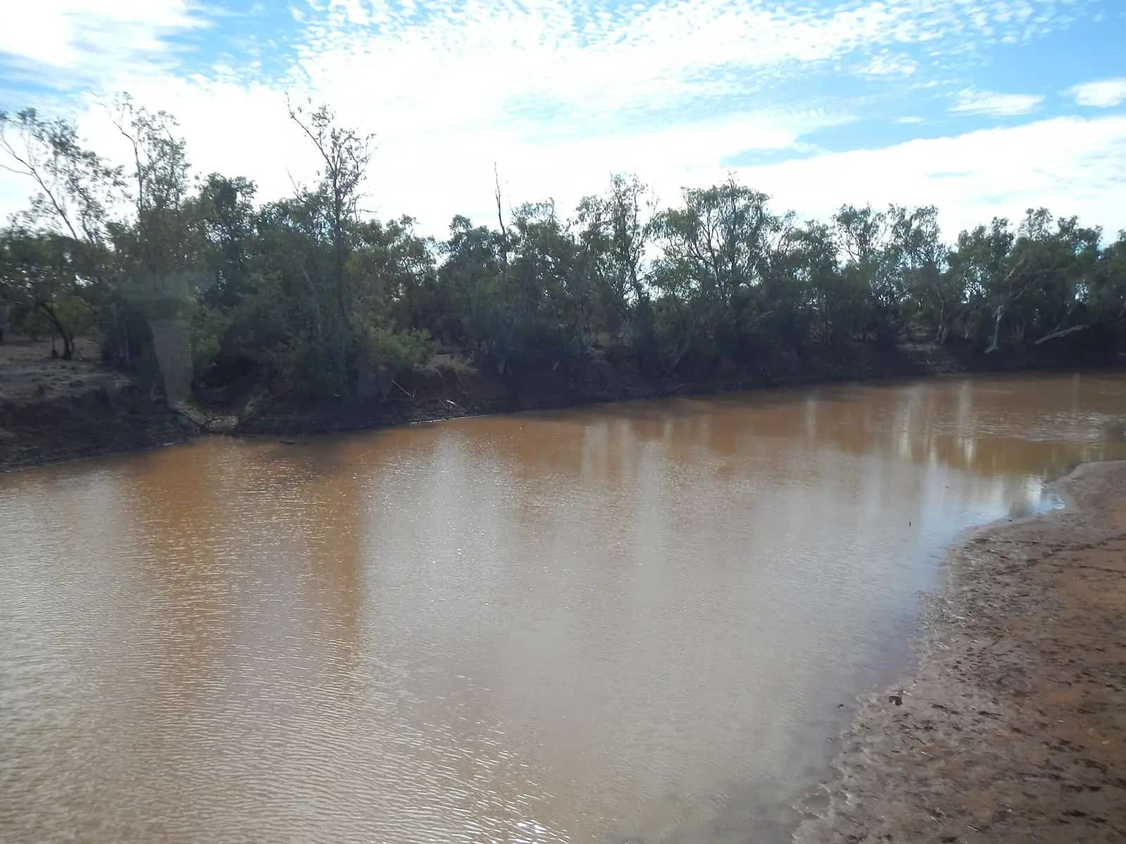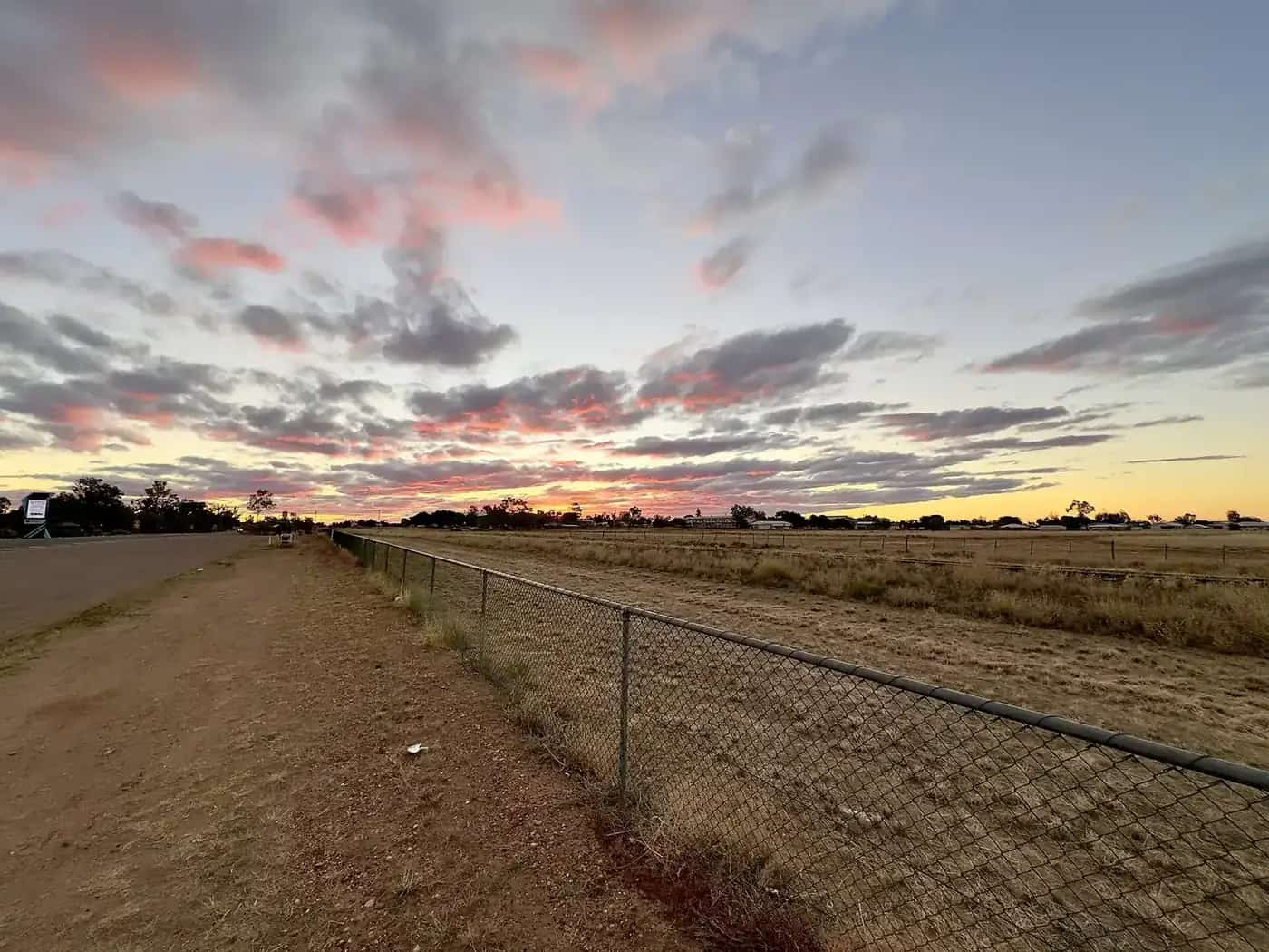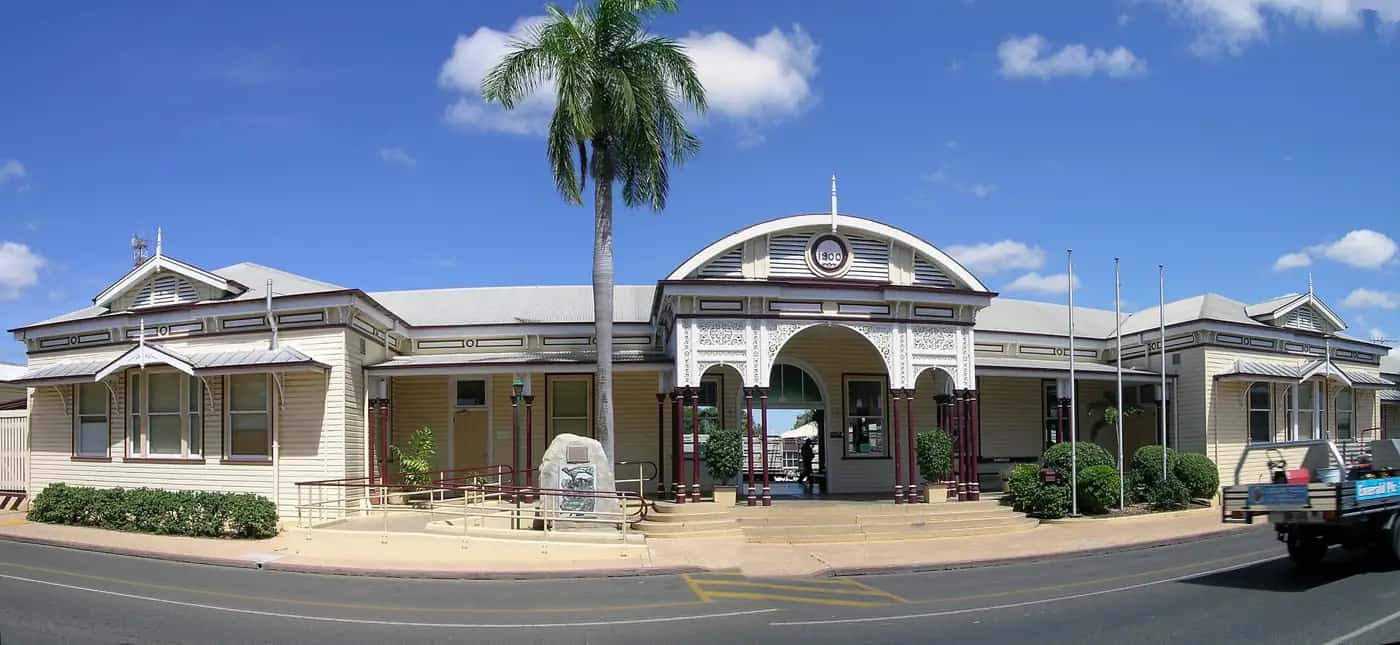
The Capricorn and Burnett region in this directory is the old Outback Now grouping for towns on and near the Capricorn Highway and the inland Burnett — coal, cotton, cattle and sapphires, with the Tropic of Capricorn crossing the highway west of Rockhampton. It is the other sealed way into the central west, besides the Warrego and Matilda Way. We currently have town guides for Duaringa, Emerald, Sapphire and Rubyvale in the Queensland Gemfields, Anakie, Willows Gemfields, Clermont, Biloela, Rolleston, Springsure, Alpha and Jericho.
Town guides
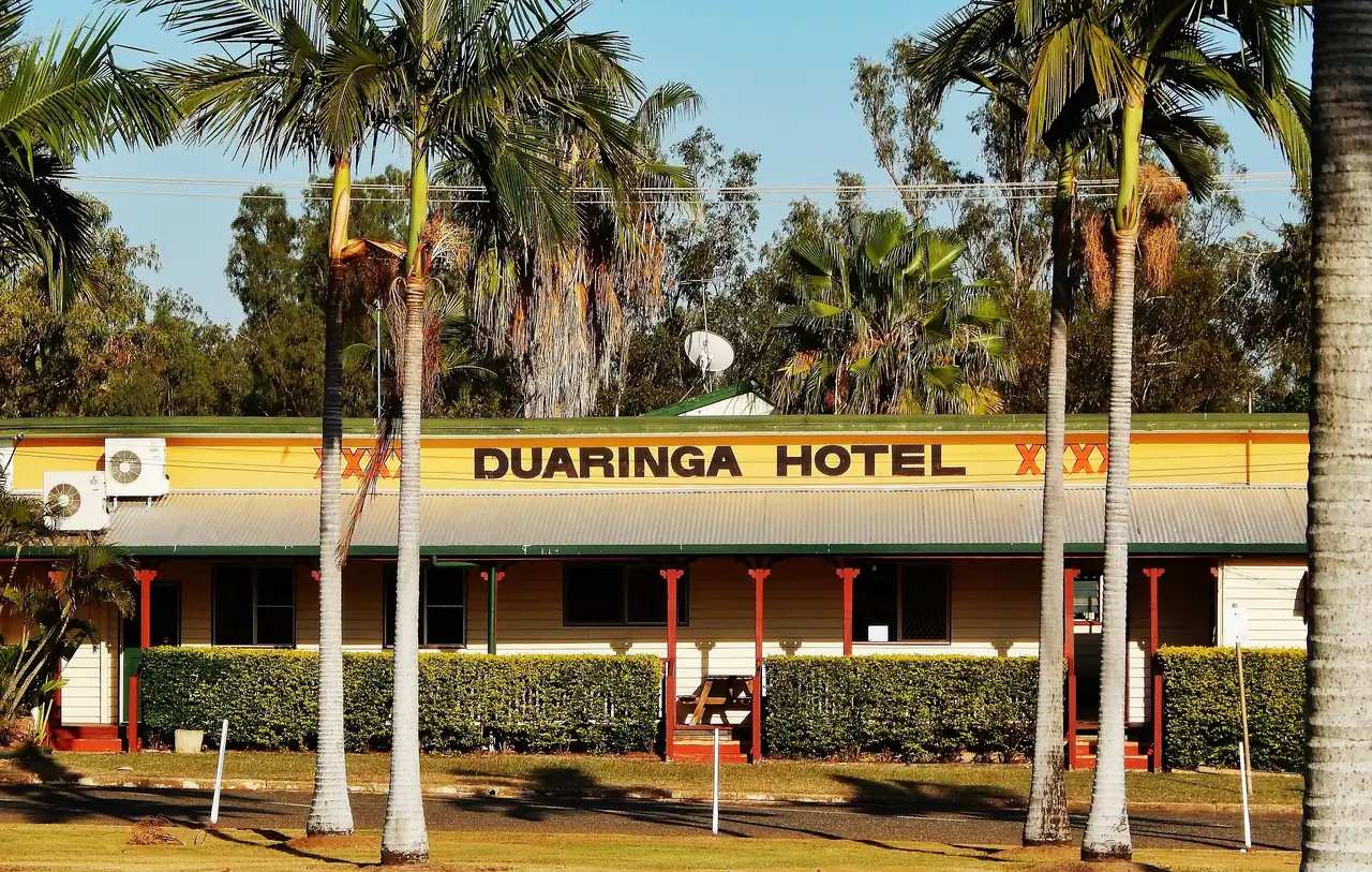
Duaringa is a small highway town on Ghungalu Country, roughly 110 km west of Rockhampton between Westwood and Dingo. Central Highlands Regional Council country here is cattle, grain and coal. The stop most travellers remember is Mackenzie Park: a lagoon and man-made waterfall in the middle of town, fed from the Dawson River supply line and lit at night. Shady stringybarks make it a picnic rest. The historic pub is the other landmark on the highway. About 40 km west, Dingo is known for its dingo statue. Blackdown Tableland National Park, further west near Dingo, has sandstone escarpments, waterfalls and Ghungalu rock art, reached by a steep range road that is not suitable for all vehicles after rain.
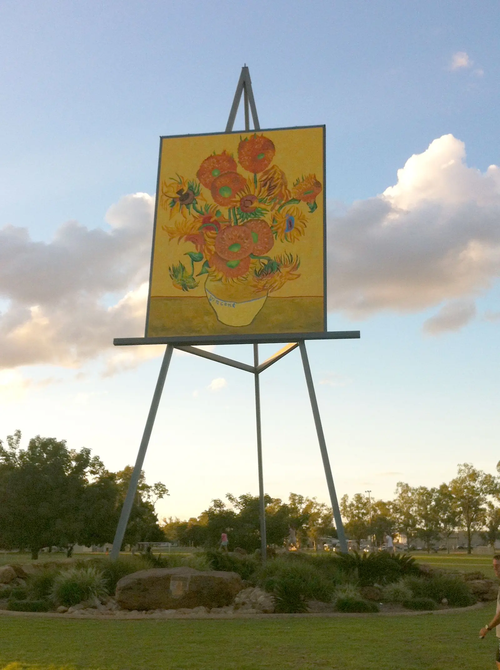
Emerald is the main town of the Central Highlands, about 270 km west of Rockhampton. It is the base for the Anakie, Sapphire and Rubyvale gemfields (about 40–60 km west), for Lake Maraboon, and for a southern run to Carnarvon Gorge via Springsure and Rolleston (roughly 250 km, about three hours). In town, the Big Easel — a giant Van Gogh Sunflowers — and the botanic gardens are the usual photos. The wider district mixes irrigated agriculture with coal mining. Regional flights and the Capricorn Highway make Emerald the practical overnight before the long run to Barcaldine and Longreach.
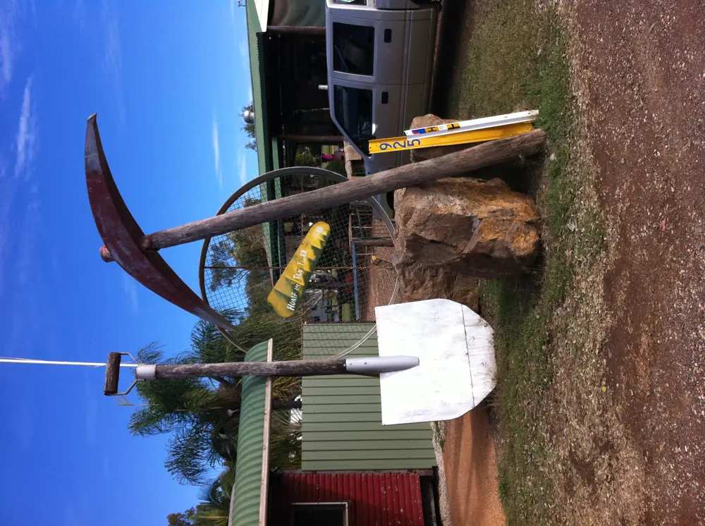
Sapphire and Rubyvale are the Queensland Gemfields fossicking towns west of Emerald on the sealed Anakie–Sapphire–Rubyvale road. A Queensland fossicking licence is required on designated land.
Anakie is the Capricorn Highway Gemfields junction town for that same fossicking cluster.
Willows Gemfields is the designated fossicking land south of the Anakie fields.
Alpha and Jericho sit on the Capricorn Highway west of Emerald, on the long sealed run toward Barcaldine.
Springsure sits under Mount Zamia on the Gregory Highway: Virgin Rock at Lions Park and Minerva Hills National Park (day use; camping is not permitted in the park). Rolleston is the Carnarvon Highway town and named fuel stop for Carnarvon Gorge — fill up here or at Injune; there are no fuel stations at the gorge.
Capella is the Peak Downs town on the Gregory Highway between Emerald and Clermont.
Comet is the Central Highlands town on the Comet River (not Comet WA), a neighbour to Emerald.
Belyando Crossing is the Gregory Developmental Road locality (not a Clermont suburb).
Taroom is the Banana Shire / Dawson town on the Carnarvon and Leichhardt approach (Queensland, not Taroom NSW).
Fossicking, parks and the highway
Queensland requires a fossicking licence for sapphire country. Fossick only in designated areas; private claims are off limits. Licences can be bought through the Queensland Government fossicking pages. The visitor information centre in Emerald can point you to current public fossicking parks — we do not list operators or prices here because they change.
Blackdown Tableland is Ghungalu Country. Queensland Parks and Wildlife Service manages access, camping and the range road; check park alerts after rain. Carnarvon Gorge, south of Emerald, is a separate national-park trip with walks, gorge walls and a different climate in the sandstone. Book peak-season camping through Queensland Parks.
The Capricorn Highway is sealed all the way from Rockhampton through Duaringa and Emerald to Barcaldine, where it meets the Landsborough Highway (Matilda Way) for Longreach. It is a freight road: road trains, fatigue and wildlife at dusk. QLDTraffic (13 19 40) is the official conditions source. Queensland Rail's Spirit of the Outback uses the same corridor, calling at Emerald on the way to Longreach.
When to go
Winter and the dry shoulder months are the most comfortable for fossicking, tableland walks and the drive west. Summer in the Central Highlands is hot, with storm rain that can close the Blackdown range road and flood local creeks. Carnarvon Gorge is busy in the June–August school holidays; shoulder seasons are quieter. Visitor centres in Emerald and the Central Highlands council desks can confirm gemfields access, Lake Maraboon recreation rules and whether Mackenzie Park's waterfall pumps are running.
How this region fits a longer trip
From the coast, the Capricorn Highway is the straightest sealed shot to Barcaldine and Longreach. Many people overnight in Emerald, fossick for a day, then continue west. Others drop south from Emerald or Springsure to Carnarvon Gorge before rejoining the outback highways. Duaringa is a shorter break rather than a destination: Mackenzie Park, a meal, and on.
The original region name bundled the Burnett as well. Biloela is the Banana Shire service town in that farming and mining belt south-east of the Capricorn Highway. Capella is the Peak Downs town on the Gregory Highway between Emerald and Clermont. Use Central Highlands Regional Council, Banana Shire and Outback Queensland Tourism for anywhere else on this corridor.
Safety is the usual inland package: water, fatigue breaks, no night driving if you can avoid it, and park advice for steep or unsealed access roads. See outback safety, fossicking and gem fields and the outback Queensland state hub. The central west begins in earnest once you leave Emerald for Barcaldine.
Towns in this region
Outback Queensland
Duaringa
Duaringa, Queensland: Mackenzie Park lagoon, the historic pub and nearby Blackdown Tableland on the Capricorn Highway.
Read · 5 min
Queensland · Central Highlands
Emerald
Emerald travel guide: the Central Highlands' main town, the Sapphire and Rubyvale gemfields, Lake Maraboon, the Big Easel and travel tips.
Read · 5 min
Queensland · Central Highlands
Sapphire, Queensland Gemfields
Sapphire, Queensland Gemfields travel guide: the Anakie–Sapphire–Rubyvale fossicking towns west of Emerald, Queensland Government fossicking rules, wetland reserve, stays and Capricorn Highway access. Not a gemstone encyclopedia.
Read · 9 min
Queensland · Isaac Region
Clermont
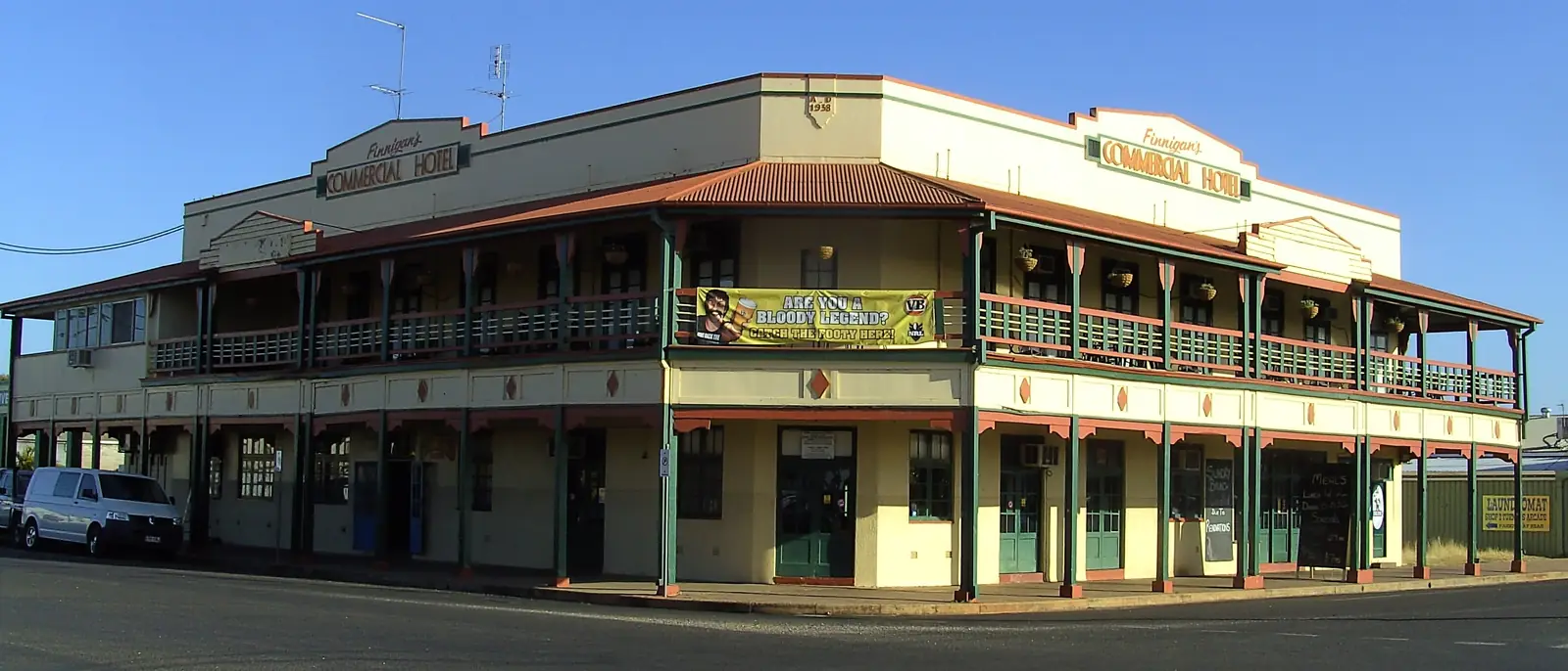
Clermont travel guide: Isaac Region town on the Gregory and Peak Downs highways, Copperfield copper history, 1916 flood memorials, Theresa Creek Dam, gold general permission areas and road access.
Read · 8 min
Queensland · Banana Shire
Biloela
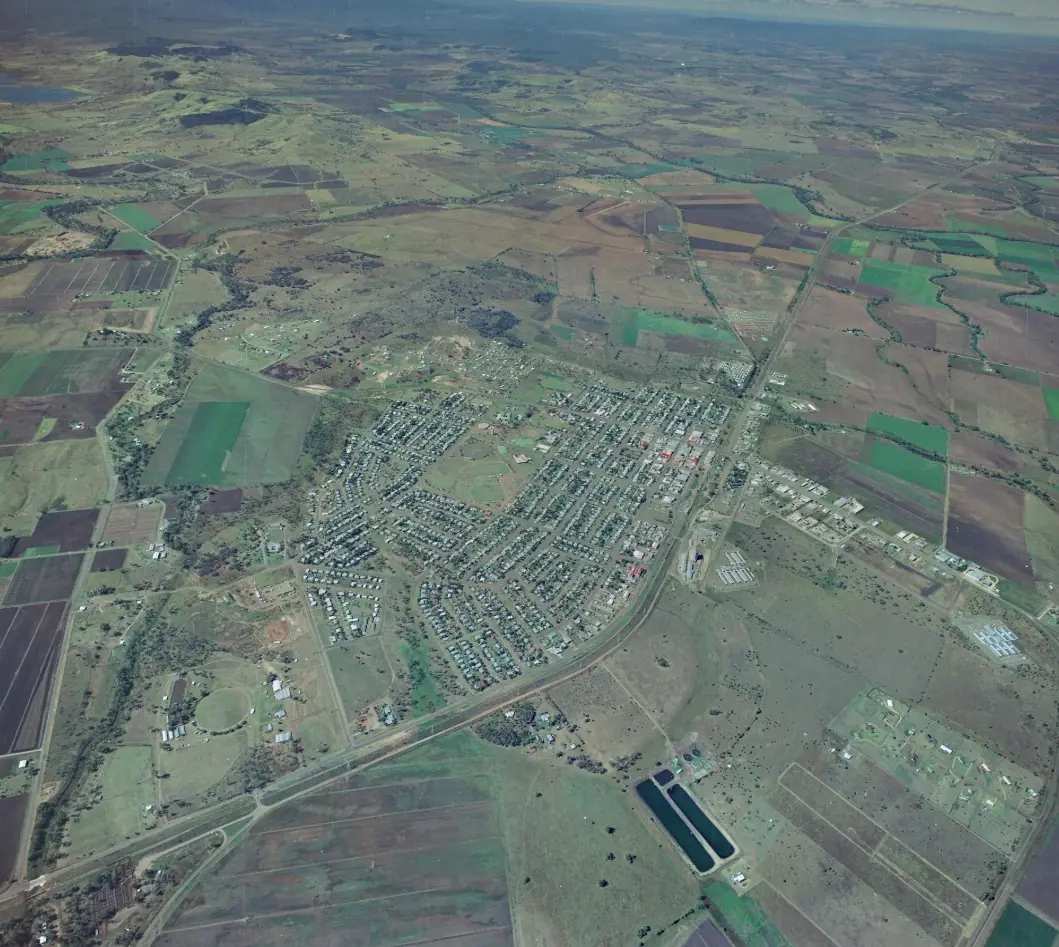
Biloela travel guide: Banana Shire service town 120 km west of Gladstone, Queensland Heritage Park, Spirit of the Land mural, Callide Mine Lookout, stays and Dawson Highway access.
Read · 7 min
Queensland · Central Highlands
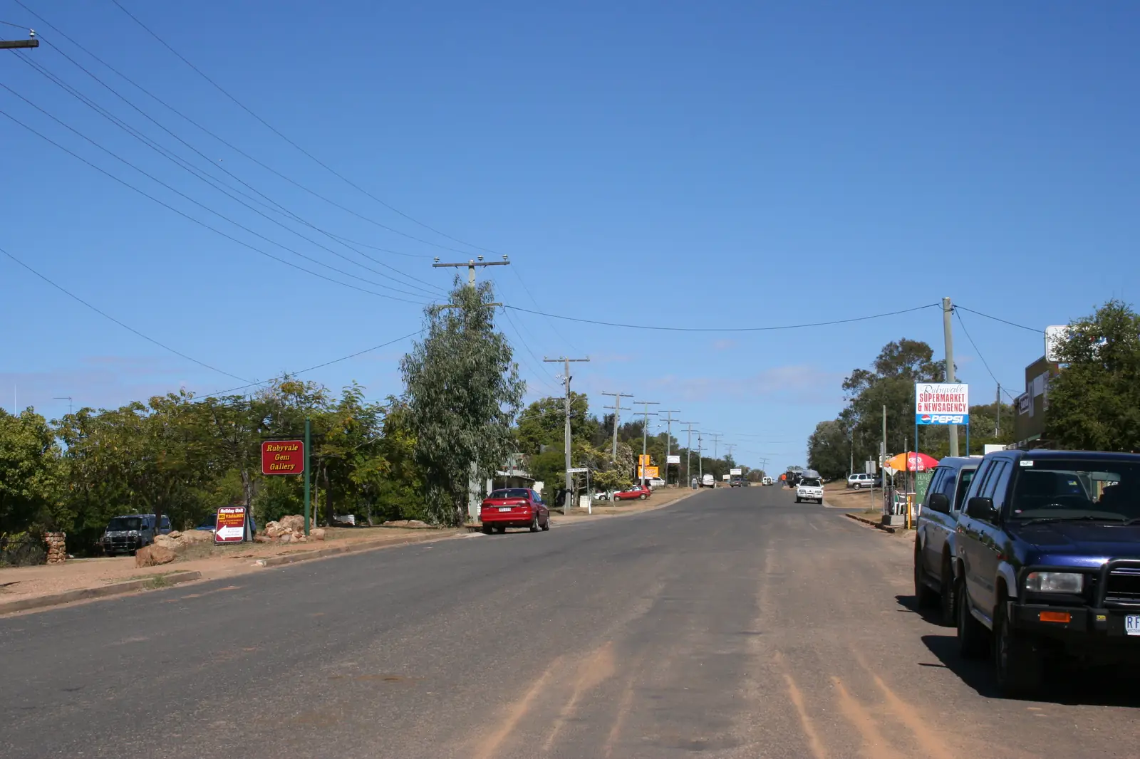
Rubyvale, Queensland Gemfields
Rubyvale, Queensland Gemfields travel guide: the fossicking town west of Sapphire and Emerald, Queensland Government licence rules, Middle Ridge and Tomahawk Creek, stays and Capricorn Highway access. Not a page about ruby as a gemstone.
Read · 10 min
Queensland · Central Highlands
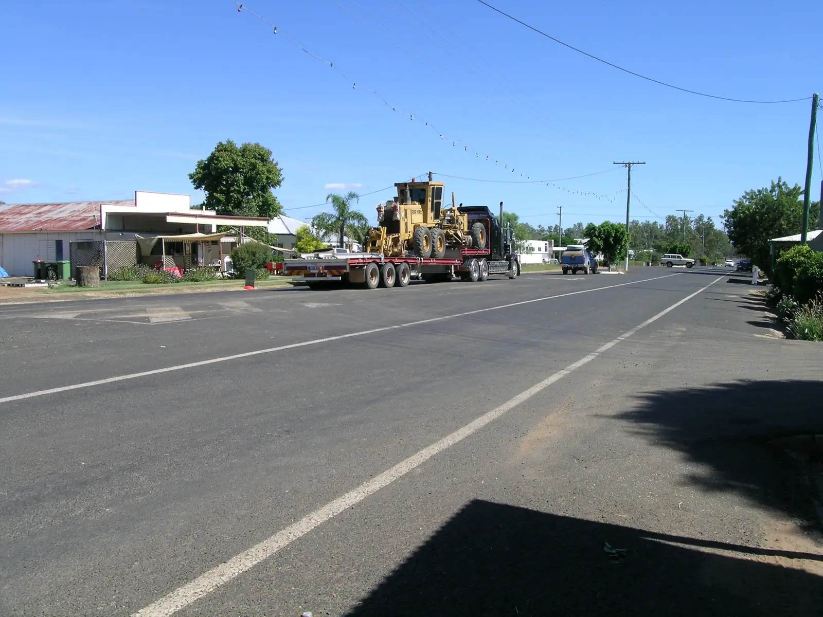
Rolleston
Rolleston travel guide: Central Highlands town on the Carnarvon Highway — Beazley Park, Comet River, 2021 Census, stays, and the sealed fuel stop for Carnarvon Gorge. Check QLDTraffic after rain.
Read · 8 min
Queensland · Central Highlands
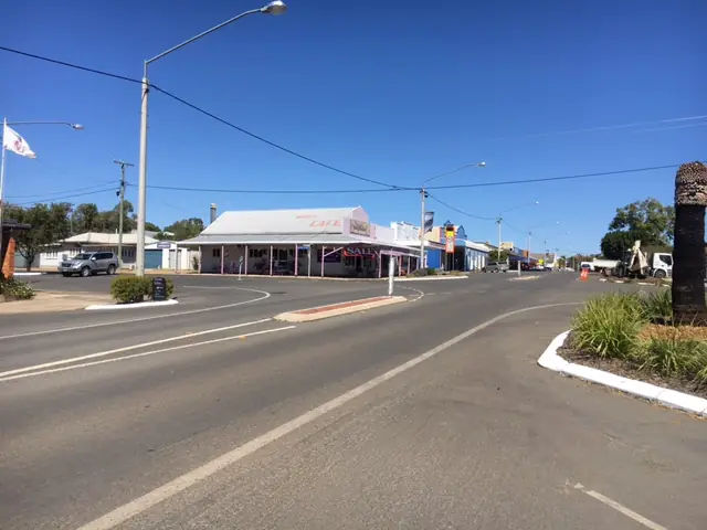
Springsure
Springsure travel guide: Central Highlands town on the Gregory Highway — Virgin Rock at Lions Park, Minerva Hills National Park, Salvator Rosa as named on Queensland Parks pages, Census, stays and Carnarvon Highway access.
Read · 8 min
Queensland · Central Highlands
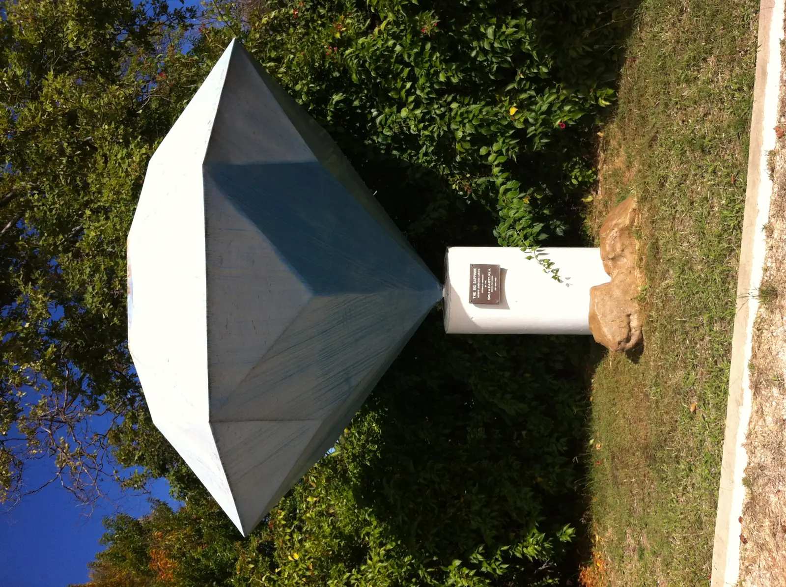
Anakie, Queensland Gemfields
Anakie, Queensland Gemfields travel guide: Capricorn Highway town west of Emerald, civic centre of the Anakie–Sapphire–Rubyvale–Willows fields, fossicking licence rules, railway station and highway access. Not a gemstone encyclopedia.
Read · 10 min
Queensland · Central Highlands
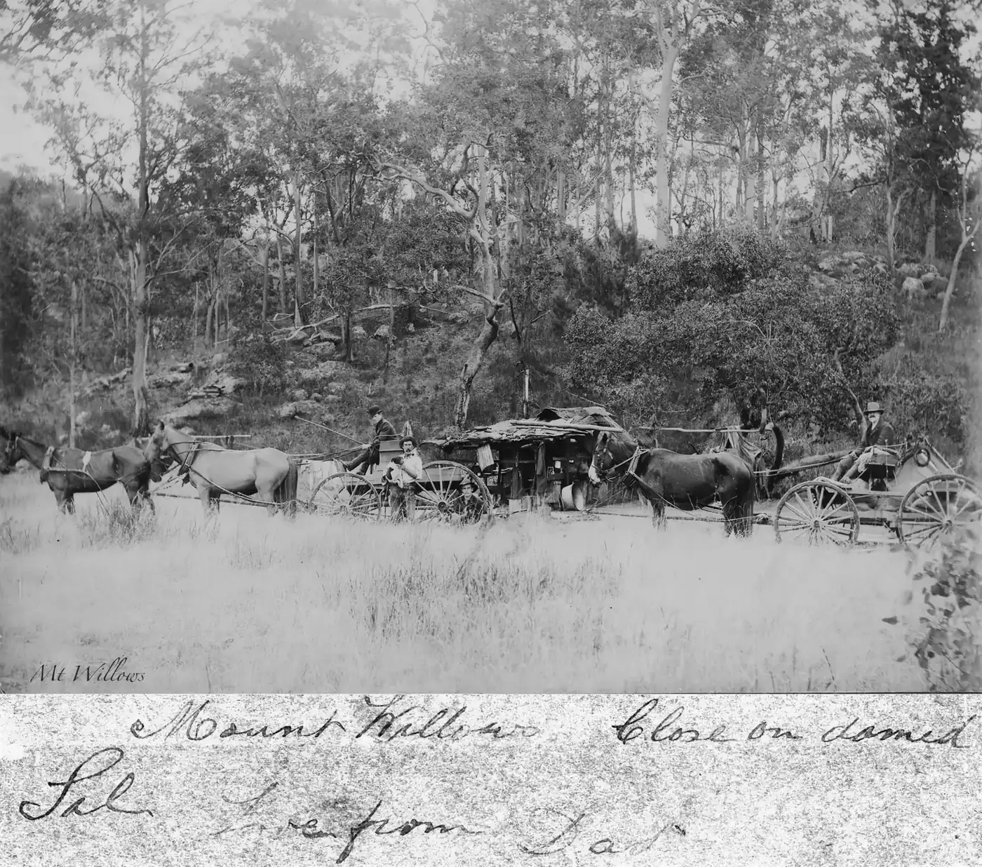
Willows Gemfields, Queensland Gemfields
Willows Gemfields, Queensland Gemfields travel guide: designated fossicking land south of the Capricorn Highway, Queensland Government camping rules, Thru-the-Fence and the Duffer, stays and access from Emerald. Not a page about willow trees.
Read · 10 min
Queensland · Barcaldine Region
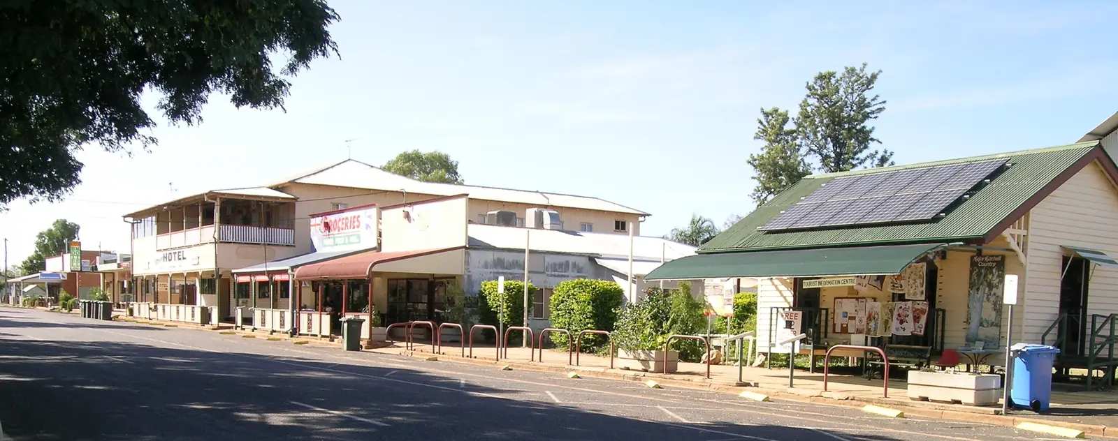
Alpha
Alpha travel guide: Barcaldine Region town on the Capricorn Highway west of Emerald — murals, Fossilised Forest sculpture, Tivoli Theatre Museum, Census, stays and highway access. Not a page about the Greek letter.
Read · 8 min
Queensland · Barcaldine Region
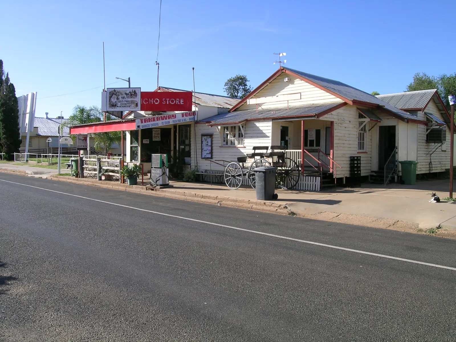
Jericho, Queensland
Jericho, Queensland travel guide: Barcaldine Region town on the Capricorn Highway — Crystal Trumpeters, Jordan River and Redbank Park, drive-in theatre, Census and stays. Not Jericho in the Middle East or another Australian Jericho.
Read · 8 min
Queensland · Capricorn and Burnett
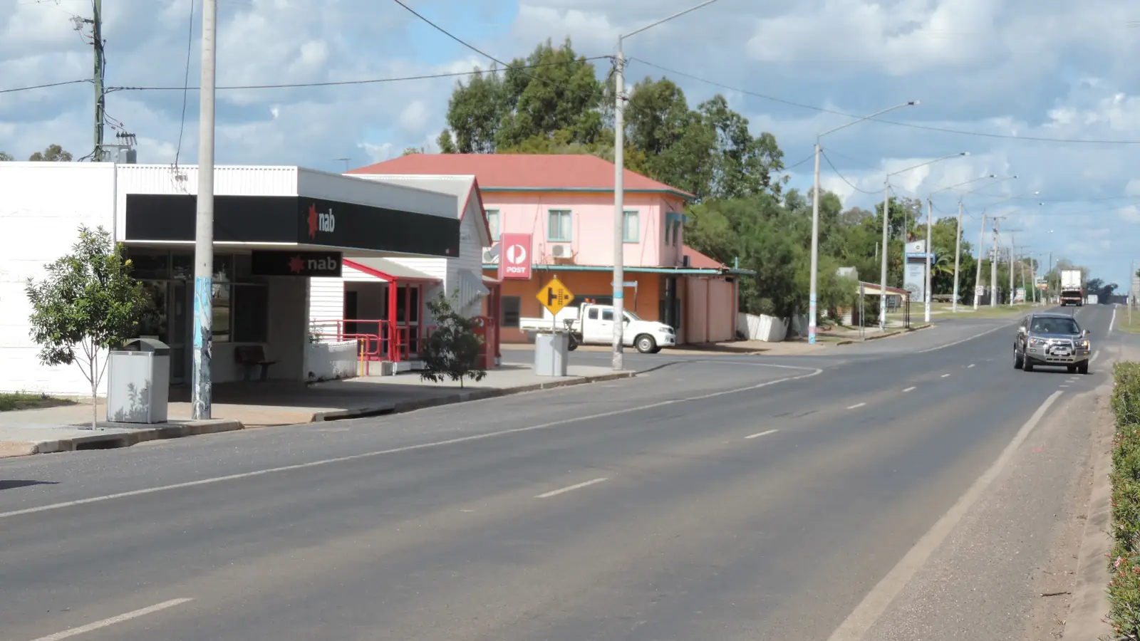
Capella
Capella travel guide: Central Highlands Peak Downs town on the Gregory Highway, 55 km north of Emerald — Pioneer Village, Peak Range Lookout, parklands, Census and climate.
Read · 8 min
Queensland · Capricorn Burnett
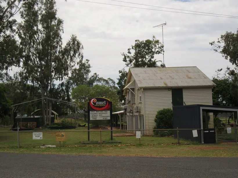
Comet
Comet travel guide: Central Highlands town on the Capricorn Highway — named for the Comet River, Whistle Stop Park DIG tree, Comet Tales walk, Census SAL30656. Neighbour Emerald. Not Comet WA.
Read · 8 min
Queensland · Capricorn and Burnett
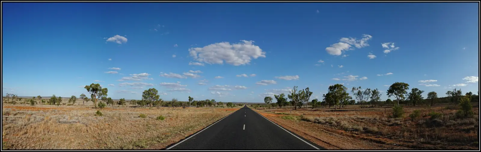
Belyando Crossing
Belyando Crossing travel guide: Gregory Developmental Road roadhouse 220 km south of Charters Towers, the only service point on the 368 km Clermont–Charters Towers run besides Cape River. Not a Clermont suburb.
Read · 8 min
Queensland · Capricorn Burnett
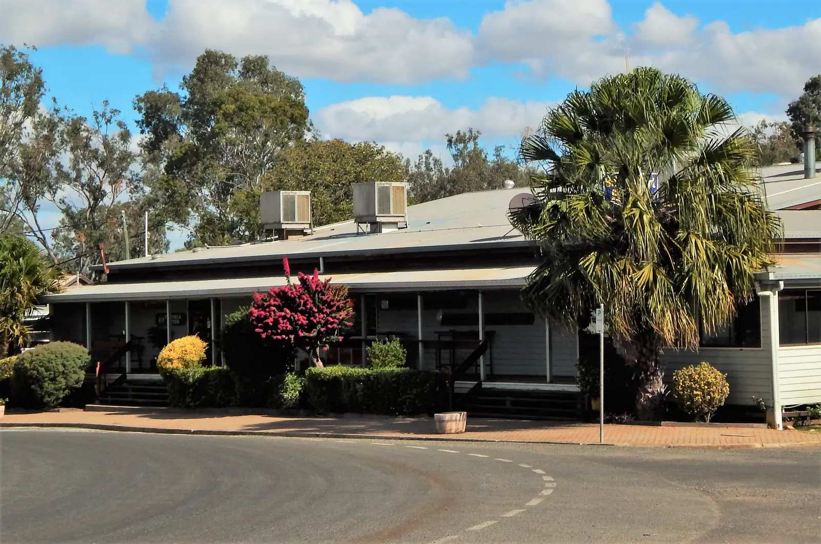
Taroom
Taroom travel guide: Banana Shire town on the Leichhardt Highway, Steel Wings windmill, Leichhardt’s tree, Gilbert’s Lookout, Isla Gorge and Expedition National Park. Not Taroom NSW.
Read · 9 min
Frequently asked questions
Which towns are in this hub?
Full guides currently cover Duaringa, Emerald, Sapphire, Rubyvale, Clermont, Biloela, Rolleston and Springsure. The original Outback Now region also took in other Burnett and gemfields towns; those extra town pages are not rebuilt yet.
How far is Emerald from Rockhampton?
About 270 km west on the Capricorn Highway. Duaringa is roughly 110 km west of Rockhampton, between Westwood and Dingo.
Can you fossick for sapphires near Emerald?
Yes, in designated areas around Anakie, Sapphire and Rubyvale, about 40 to 60 km west of Emerald. A Queensland fossicking licence is required. Buy one online or ask at the Emerald visitor centre.
How do I get to Carnarvon Gorge from here?
From Emerald the gorge is roughly 250 km south via Springsure and Rolleston, about three hours. Check QLDTraffic and Queensland Parks alerts before you go.
Sources and further reading
Facts on this page were checked against these primary and official sources. Conditions change — confirm before you travel or buy.
- Outback Queensland — Outback Queensland Tourism Association
- QLDTraffic — Queensland Government
- Central Highlands Regional Council — Central Highlands Regional Council
- Fossicking licences — Queensland Government
- Blackdown Tableland National Park — Queensland Parks and Wildlife Service
- Carnarvon Gorge — Queensland Parks and Wildlife Service