At a glance
Sourced facts only. Distances and services change — confirm before you travel.
- Local government
- Western Downs Regional Council
- Traditional Owners
- Not named for the Dulacca townsite on the sourced Western Downs Miles or First Nations pagesWestern Downs names the Barunggam to the west of Dalby, the Iman (Yiman) around Wandoan, the Bigambul around Tara, and the Wakka Wakka and Jarowair around the Bunya Mountains. Dulacca sits west of Miles on the Warrego. This guide does not flatten those area sentences onto the townsite.
- Nearest regional city
- Miles, 42 km east on Western Downs’ Miles town page (41 km on that page’s town map). Roma is 141 km west of Miles on the same map — not a Dulacca–Roma kilometre invented here.
- Capital
- Not published as a Dulacca figure on the sourced town pages. Western Downs’ Miles map puts Brisbane 335 km from Miles (about 3 hours 45 minutes).
- Nearest fuel
- Western Downs names Dulacca Hotel as accommodation and hospitality. Confirm a bowser on arrival; this hub does not invent a brand or hours. Miles is the next named service town 42 km east.
- Nearest hospital or clinic
- Confirm with Queensland Health — do not invent a clinic name. Miles is the neighbouring Western Downs highway town.
- Mobile coverage
- Check Telstra and Optus coverage maps before travel; do not assume a signal on side roads off the Warrego.
- Best time to visit
- May–September on Miles Constance Street cooler mean maxima; that is a labelled neighbour table. Dulacca Truck Stop rainfall is a closed record.
Climate
Monthly means from the Bureau of Meteorology station Miles Constance Street (042112). This is not a forecast. Open temperature table for the named Miles neighbour 42 km east. Dulacca Truck Stop (042010) is rainfall-only and closed 1 January 2016. Do not blend the two.
| Month | Mean max (°C) | Mean min (°C) | Rainfall (mm) |
|---|---|---|---|
| Jan | 34.0 | 20.6 | 69.0 |
| Feb | 33.0 | 20.0 | 72.9 |
| Mar | 31.3 | 18.2 | 73.0 |
| Apr | 27.8 | 13.3 | 26.3 |
| May | 23.7 | 8.3 | 27.3 |
| Jun | 20.5 | 5.8 | 32.2 |
| Jul | 20.3 | 4.4 | 20.6 |
| Aug | 22.9 | 5.5 | 29.9 |
| Sep | 26.8 | 9.9 | 25.4 |
| Oct | 29.7 | 14.1 | 49.4 |
| Nov | 31.5 | 17.2 | 63.8 |
| Dec | 33.1 | 19.2 | 85.1 |
Dulacca in pictures
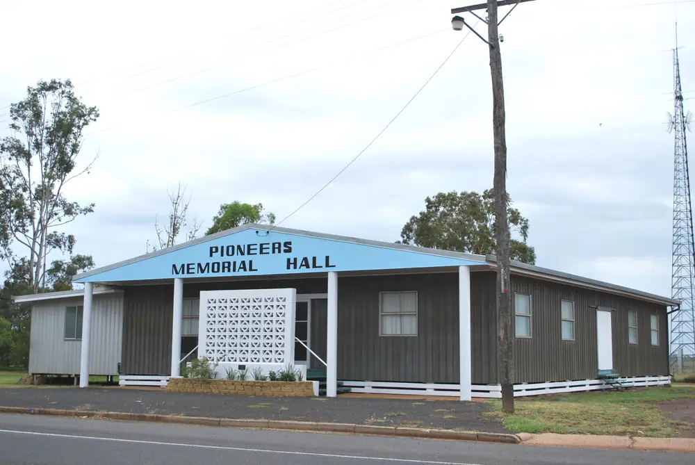
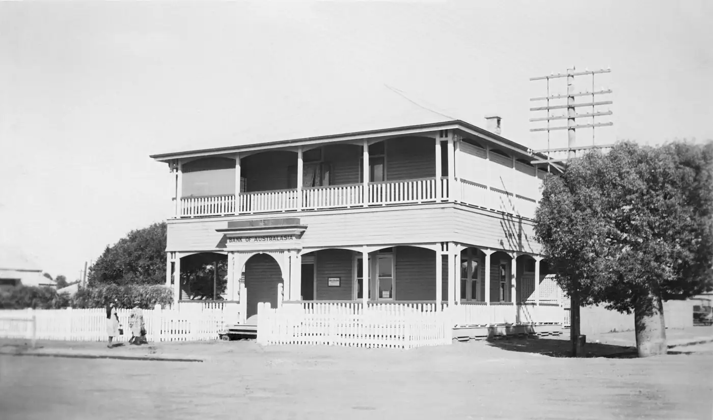
Dulacca Pioneers Memorial HallPhoto: Mattinbgn · CC BY-SA 3.0 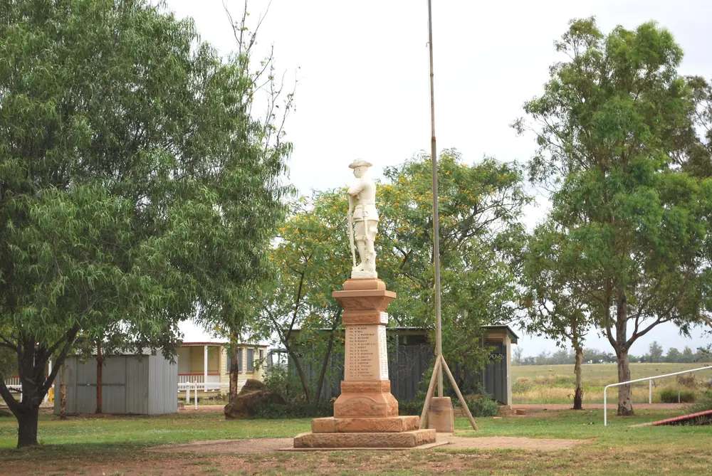
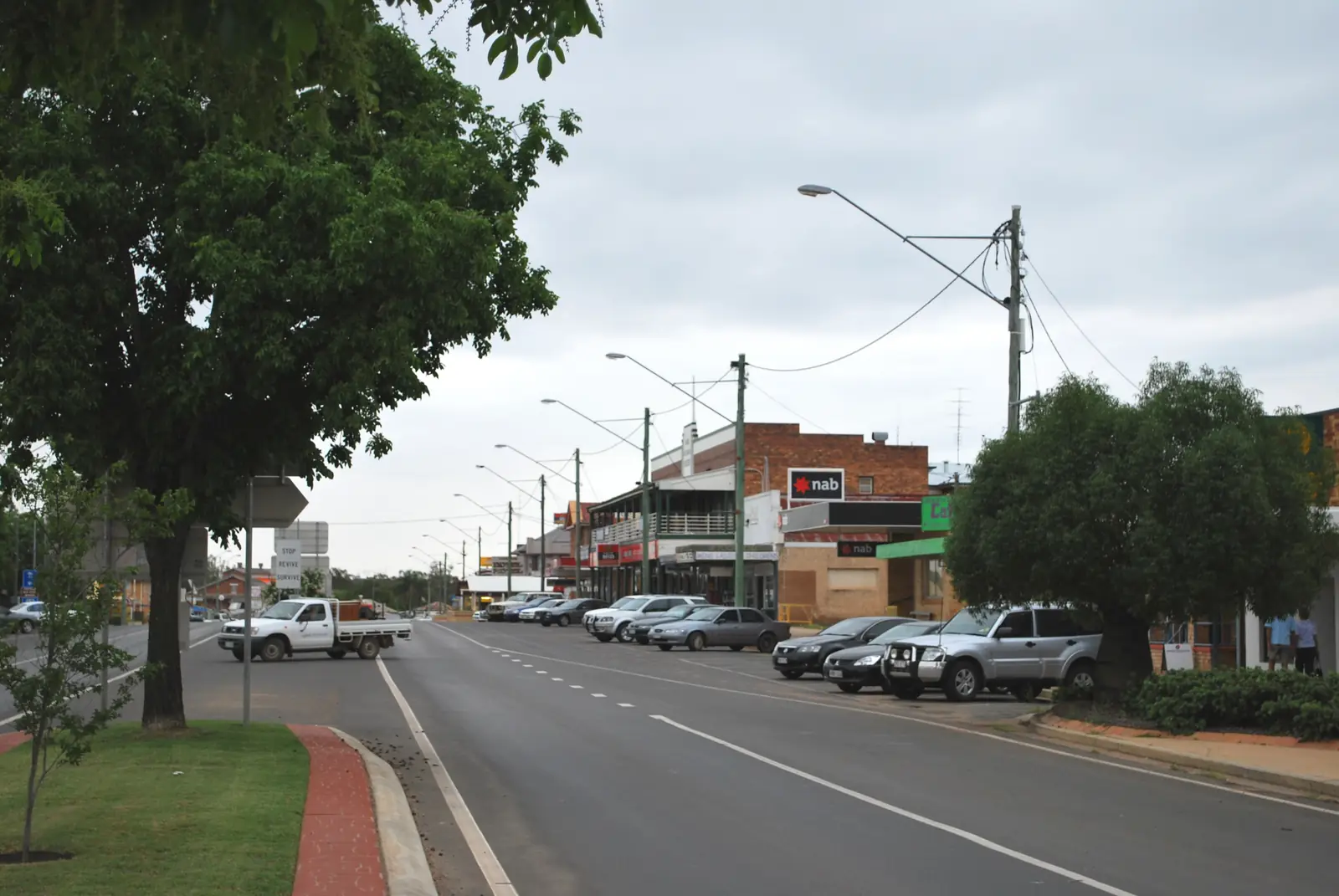
Dulacca war memorialPhoto: Mattinbgn · CC BY-SA 3.0 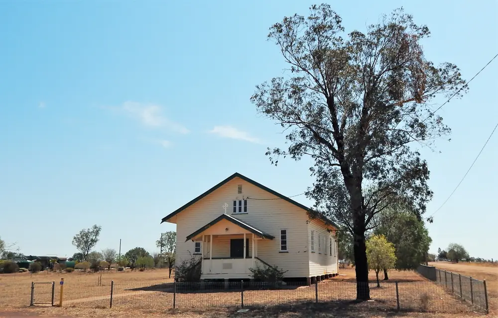
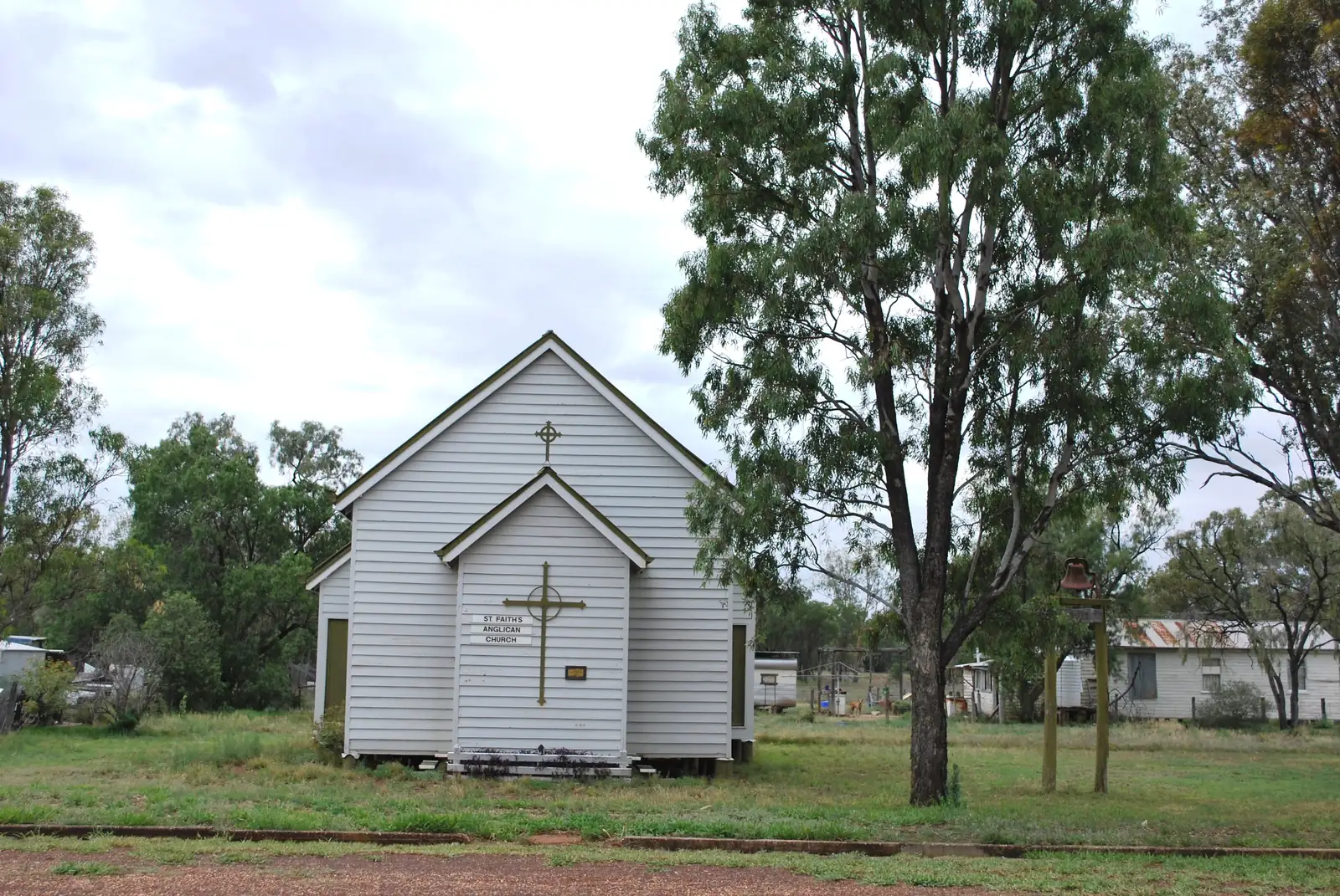
Dulacca Church of the AssumptionPhoto: RegionalQueenslander · CC BY-SA 4.0 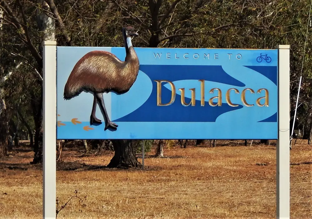
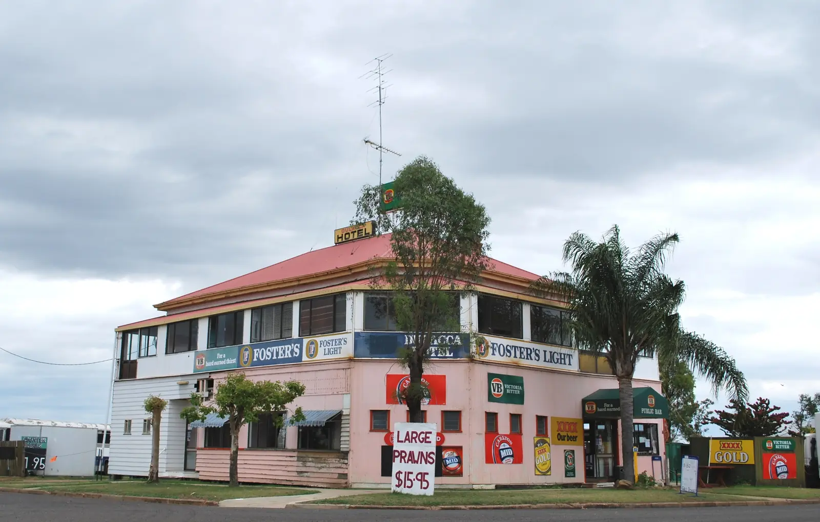
Welcome to Dulacca signPhoto: RegionalQueenslander · CC BY-SA 4.0
Dulacca sits in the Western Downs Region on the Warrego Highway west of Miles, in Queensland’s Downs inventory on this site. Western Downs’ Miles town page puts it 42 km west of Miles along the Warrego; the same site’s Miles town map lists 41 km. This hub quotes both figures rather than averaging them. Outback Queensland’s Warrego Way, heading west from Miles toward Roma, names Drillham and Dulacca, then Jackson, then Yuleba and Wallumbilla. This is a railway-and-pub highway town, not Channel Country and not a Maranoa council town — Jackson and Yuleba sit in Maranoa; Dulacca does not.
The 2021 Census counted 131 people in the locality. Travellers stop because Western Downs still uses the Pink Pub on the Hill, dating to 1908, because Roy Henderson Park holds the war memorial, and because the hotel is named as home to the region’s newest caravan parks. You still need QLDTraffic after storms, because a 42 km run to Miles is no use if the highway is closed.
Where it is, and how far
Dulacca sits on the Warrego Highway (A2) between Miles and Jackson. Western Downs’ Miles town page is the sourced Miles kilometre. Outback Queensland’s Warrego Way is the sourced westbound order. Official Dulacca sentences used here do not print a Dulacca–Jackson, Dulacca–Yuleba or Dulacca–Roma figure. This hub does not invent them. Miles’ own map puts Roma 141 km west of Miles (about 1 hour 30 minutes) and Brisbane 335 km from Miles; those are Miles figures.
| Place | Distance from Dulacca (sourced) |
|---|---|
| Miles | 42 km east (Western Downs Miles town page); 41 km (same site’s Miles town map) |
| Jackson | next named Warrego township west on Outback Queensland’s Warrego Way; no kilometre on the Dulacca sentences used here |
| Yuleba | further west on that Warrego Way list; no kilometre invented here |
| Roma | 141 km west of Miles on the Miles map — not reprinted as a Dulacca figure |
| Drillham | 20 km west of Miles on the Miles town page — a Miles–Drillham figure, not a Dulacca figure |
| Brisbane | 335 km from Miles on that map (about 3 hours 45 minutes) |
Use Miles as the service-town junction for the Leichhardt Highway as well as the Warrego. Use QLDTraffic for the day you drive.
Facts at a glance
Population. ABS 2021 Census, Suburbs and Localities SAL30888: 131 people. Median age 40. Sex split 52.6% male / 47.4% female. Families 36. Private dwellings 65. Average household size 2.4. Median weekly household income $1,375. The ABS does not publish a 2021 Urban Centre named Dulacca on the product used here. Use the Dulacca SAL QuickStats.
Climate. BOM DULACCA TRUCK STOP, 042010, 26.64°S, 149.76°E, elevation 317 m, opened 1890, status Closed 1 January 2016 on the monthly rainfall page fetched for this guide. Rainfall-only. All-years monthly means: annual 610.8 mm; January 85.0 mm wettest; August 27.1 mm driest. BOM does not publish a monthly climate-averages temperature table for that station. The labelled neighbour table used in the glance climate block is Miles Constance Street, 042112, commenced 1997, January mean maximum 34.0 °C, July 20.3 °C, July mean minimum 4.4 °C, annual rainfall 568.4 mm. Do not blend Dulacca rain with Miles rain. Full Miles columns: BOM Miles Constance Street. See Dulacca weather.
Visitor information. There is no Dulacca visitor information centre on the sourced pages. Use Miles Visitor Information Centre, sharing the entrance of Miles Historical Village Museum, 141 Murilla Street, (07) 4627 1492. Western Downs lists museum hours 7 days, 8.30am–4.30pm, last admission 3.30pm, closed Christmas Day, on the museum page used by this site’s Miles hub. Confirm before a public holiday.
Traditional Owners
Western Downs Regional Council’s First Nations page names the Barunggam to the west of Dalby, the Iman (Yiman) around Wandoan, the Bigambul around Tara, and the Wakka Wakka and Jarowair around the Bunya Mountains. Dulacca sits west of Miles on the Warrego, inside that council area. The council does not publish a separate single-nation sentence for the Dulacca townsite on that page. This guide follows the council wording rather than flattening several nations into one label. Read the council’s First Nations People page. Confirm plaque wording with the Miles visitor centre on (07) 4627 1492. See visiting Country respectfully.
History
Western Downs tourism treats Dulacca as a Miles-district railway town.
Western Downs’ Miles town page: just 42 km west of Miles along the Warrego Highway, Dulacca was founded in 1879 with the arrival of the railway. Highlights: Pink Pub on the Hill — dating back to 1908; Roy Henderson Park — discover the town’s history and its wartime contributions.
The Miles district heritage page: Dulacca Hotel. Built in 1908, this hotel (the page’s “114 year old” wording is a snapshot from that copy) is home to great history and the Western Downs’ newest caravan parks. Dulacca War Memorial Digger Park — located at Roy Henderson Park on the Warrego Highway, lists thirty two servicemen from WWI; twenty of whom were killed in action and two have MM after their names, signifying they won Military Medals for bravery.
Outback Queensland’s Warrego Way: leaving Miles you pass through Drillham and Dulacca, both established with the coming of the railway into the west. Dulacca rose to notoriety as the first site for the extensive push to eradicate the prickly pear. That is an Outback Queensland corridor sentence, not a visitor-centre date this hub will invent for the campaign.
This is a railway-and-pub founding, not a Cobb & Co last-mail story — that last coach in 1924 belongs to Yuleba.
Things to do
Western Downs names these in Dulacca:
- Dulacca Hotel / Pink Pub on the Hill — 1908; corner Glynn Avenue and Bell Street; (07) 4627 6101
- Roy Henderson Park — town history and wartime contributions on the Miles town page
- Dulacca War Memorial Digger Park — 32 WWI names, 20 killed, two Military Medals, on the heritage page
Nearby, not a Dulacca main-street walk:
- Drillham — 20 km west of Miles on the Miles town page; former railway settlement; creek-side weir
- Miles — Historical Village, Dogwood Crossing, ANZAC Park
- Jackson — Old Play Shed, next west on the Warrego Way list
- Yuleba — Cobb & Co mural and Judd’s Lagoon
A Western Downs Miles blog used in research puts Drillham at 15 minutes and Dulacca at 30 minutes from Miles for sundowners at the Waterhole on the Hill aka Dulacca Hotel. Treat that as a blog timing, not a replacement for the 42 km / 41 km town-page figures.
Where to stay
Western Downs’ Miles hotels-and-motels directory: Dulacca — the place to be is the Dulacca Pub, entertainment, accommodation and good old-fashioned country hospitality. Named listing: Dulacca Hotel (Pink Pub on the Hill), corner Glynn Avenue and Bell Street, (07) 4627 6101. The heritage page adds caravan parks at the hotel. Those are official named types, not a ranked motel strip. If Dulacca is full, Miles is 42 km east on the town page.
- How to choose: Dulacca accommodation
- Camping detail: Dulacca caravan parks
- Operator enquiries: feature your business
Caravan and camping
Vans use Dulacca as a quieter Warrego overnight than Miles. Official named camping is the caravan parks at Dulacca Hotel on Western Downs’ heritage wording. Ask (07) 4627 6101 for stay limits, dump points and pets. The Pink Pub is a hotel, not a free roadside camp. Read Dulacca caravan parks and outback camping.
After rain, the Warrego is the constraint. QLDTraffic first.
Fuel and services
A locality of 131 people will not match Miles for a supermarket strip. Western Downs names the hotel for meals and rooms. This guide does not list a bowser brand or invent clinic hours. Fill in Miles if you are unsure. There is no Dulacca hospital on the sourced pages. Confirm with Queensland Health rather than assuming a clinic.
For current questions, use Western Downs Regional Council and Miles Visitor Information Centre, 141 Murilla Street, (07) 4627 1492.
Road access
The Warrego Highway (A2) is the sealed spine through Dulacca between Miles and Jackson / Roma. Freight road, road trains. After rain, check QLDTraffic and 13 19 40. Do not drive around closed signs to keep a pub meal.
East: Drillham, then Miles, then Chinchilla 47 km east of Miles on the Miles map. West: Jackson, Yuleba, Wallumbilla, Roma. The Leichhardt Highway junction is at Miles, not in Dulacca.
Nearby parks and towns
Named heritage (official pages):
- Dulacca Hotel / Pink Pub on the Hill — 1908
- Roy Henderson Park / Digger Park war memorial — 32 WWI names
There is no national park inside Dulacca on the sourced town pages. Gil Weir camping sits 6 km south of Miles on the Miles map, not in Dulacca.
Towns on this site:
- Miles — 42 km east; Historical Village
- Jackson — next Warrego township west on Outback Queensland’s list
- Yuleba — Cobb & Co; Maranoa
- Roma — 141 km west of Miles on the Miles map
- Chinchilla — 47 km east of Miles on that map
When to go, and how long
Miles Constance Street’s January mean maximum of 34.0 °C is hot for a memorial photograph at midday — a Miles table, 42 km east. July’s 20.3 °C mean maximum and 4.4 °C mean minimum are the cooler season on that neighbour table. Dulacca Truck Stop’s closed rainfall record still shows January 85.0 mm as the wettest mean month on a 610.8 mm annual table. An hour covers the pub and Roy Henderson Park if those named places are reachable. A night covers the named hotel or van site if a vacancy exists. Two nights only if you are adding Miles’ village and Jackson’s play shed and QLDTraffic agrees.
Operators who want a checked listing: feature your business. The listings slot on this hub stays empty until then.
Plan this trip
Tell us the dates, who you are travelling with and where you need help. We reply with planning notes for Dulacca — we are not a booking agent.
Events and road-conditions newsletter
Occasional notes on outback festivals, race days and official road-condition sources — not a daily blast. We use these details only to send the newsletter.
Queensland · The Downs
Dulacca accommodation
Where to stay in Dulacca: Western Downs names Dulacca Hotel (Pink Pub on the Hill) at Glynn Avenue and Bell Street, (07) 4627 6101, plus caravan parks at the hotel. Confirm before you unhitch.
Read · 3 min
Queensland · The Downs
Dulacca caravan parks
Camping in Dulacca: Western Downs names caravan parks at Dulacca Hotel (Pink Pub on the Hill, 1908). Confirm with (07) 4627 6101. Miles parks sit 42 km east.
Read · 3 min
Queensland · The Downs
Dulacca weather
Dulacca climate: BOM Dulacca Truck Stop (042010) rainfall-only, closed 1 January 2016, annual 610.8 mm. Temperature from Miles Constance Street (042112): January mean max 34.0 °C, July 20.3 °C.
Read · 4 min
Queensland · The Downs
Things to do in Dulacca
Things to do in Dulacca: Western Downs names the Pink Pub on the Hill (1908), Roy Henderson Park and the Digger Park war memorial. Warrego Highway west of Miles, not a Channel Country list.
Read · 3 min
Frequently asked questions
How far is Dulacca from Miles and Jackson?
Western Downs’ Miles town page puts Dulacca 42 km west of Miles along the Warrego Highway. The same site’s Miles town map lists Dulacca at 41 km. Official Dulacca sentences used here do not print a Dulacca–Jackson kilometre. Jackson is the next named Warrego township west on Outback Queensland’s Warrego Way.
What is Dulacca’s population?
131 people at the 2021 Census for Dulacca suburbs-and-localities (SAL30888). Median age 40. The ABS does not publish a 2021 Urban Centre named Dulacca on the product used here.
Why is Dulacca called the Pink Pub on the Hill?
Western Downs’ Miles town page: Dulacca was founded in 1879 with the arrival of the railway. Highlights include the Pink Pub on the Hill, dating back to 1908. The Miles hotels directory names Dulacca Hotel (Pink Pub on the Hill) at the corner of Glynn Avenue and Bell Street, (07) 4627 6101.
What is the weather like in Dulacca?
BOM Dulacca Truck Stop (042010) is rainfall-only and closed 1 January 2016: annual mean 610.8 mm, January 85.0 mm wettest, August 27.1 mm driest. For temperature use Miles Constance Street (042112), labelled as a different station: January mean maximum 34.0 °C, July 20.3 °C, annual rainfall 568.4 mm.
Can I camp at Dulacca?
Yes, as a named type. Western Downs’ Miles district heritage page says Dulacca Hotel, built in 1908, is home to the Western Downs’ newest caravan parks. Confirm sites on (07) 4627 6101. This hub does not invent a site count.
Whose Country is Dulacca on?
Western Downs Regional Council’s First Nations page names the Barunggam to the west of Dalby, the Iman (Yiman) around Wandoan, the Bigambul around Tara, and the Wakka Wakka and Jarowair around the Bunya Mountains. It does not publish a Dulacca-townsite sentence. Confirm wording at Miles Visitor Information Centre, (07) 4627 1492.
Sources and further reading
Facts on this page were checked against these primary and official sources. Conditions change — confirm before you travel or buy.
- Dulacca 2021 Census QuickStats (SAL30888) — Australian Bureau of Statistics
- Monthly rainfall — Dulacca Truck Stop (042010) — Bureau of Meteorology
- Climate statistics for Miles Constance Street (042112) — Bureau of Meteorology
- Explore Miles QLD — Western Downs Regional Council
- Miles District — Western Downs Regional Council
- Miles Hotel & Motel Accommodation — Western Downs Regional Council
- First Nations People — Western Downs Regional Council
- Warrego Way — Outback Queensland Tourism Association
- QLDTraffic — Queensland Government