In the original Outback Now town directory, "the Downs" grouped the farming and energy towns that sit on the eastern approaches to outback Queensland: the Darling Downs, Western Downs and Maranoa. They are not Channel Country, and they are not as remote as Longreach or Birdsville. They are where many people spend the first night west of Brisbane, stock up, and decide whether they are heading to Charleville, St George or Carnarvon Gorge. This hub has full guides for Roma, Millmerran, Dalby, Miles, Warwick, Chinchilla and Injune.
Town guides
Roma is the Maranoa regional centre, about 480 km west of Brisbane on the Warrego Highway. It was Queensland's first town proclaimed after separation from New South Wales. In 1900 drillers looking for water struck natural gas; the Big Rig museum and night show tell the oil and gas story that followed. Heroes Avenue is lined with bottle trees planted to honour local soldiers. The saleyards are among Australia's largest; visitor tours have run on sale days — confirm the current timetable with the Maranoa visitor information centre. Roma is also a practical gateway to Carnarvon Gorge, north via Injune, and to the south-west towns of Mitchell and Charleville. Flights from Brisbane and the Westlander train both serve the town.
Millmerran is a western Darling Downs farming town about 82 km west of Toowoomba on the Gore Highway. It is best known as the home of the biennial Australian Camp Oven Festival, held on the first weekend of October in even years (organisers announced 3–4 October 2026). Heritage murals and a local museum round out a short stop for travellers heading towards Goondiwindi, St George and the south-west. It is a Downs town rather than a deep-outback one, and that is part of its usefulness: services, a festival if you time it right, and a straightforward sealed highway.
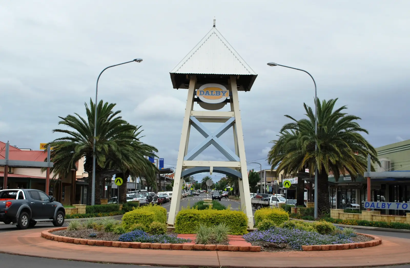
Dalby is on the Warrego Highway in the Western Downs. Western Downs Queensland's town map puts it 209 km west of Brisbane (about 2.5 hours) and 83 km from Toowoomba. The 2021 Census counted 12,082 people in the Dalby urban centre. Western Downs Regional Council acknowledges the Barunggam to the west of Dalby, with other nations across the wider Western Downs. Bureau of Meteorology averages for Dalby Airport (station 041522) show an annual mean rainfall of 598.6 mm, a January mean maximum of 32.7°C and a July mean maximum of 19.8°C. The accredited visitor information centre is at Pioneer Park Museum, 17 Black Street. Lake Broadwater Conservation Park is about 30 km out on the Moonie Highway; Bunya Mountains National Park is 63 km away on the council town map. Access is sealed on the Warrego, Moonie and Bunya highways. Check QLDTraffic (13 19 40) after storms. Western Downs lists no pets at the Lake Broadwater campground — confirm camping rules and accommodation at Pioneer Park.
Miles is the next Warrego Highway service town west of Dalby, with the Miles Historical Village on official Western Downs pages.
Chinchilla sits between Dalby and Miles on the same highway.
Warwick is the Southern Downs city on the New England Highway — a Downs gateway rather than Channel Country.
Injune is the northernmost Maranoa town, 90 km north of Roma on the Carnarvon Highway — the approach town for Carnarvon Gorge, not Toowoomba. Queensland Parks’ visiting-safely page puts the signed gorge turn-off a further 111 km along the highway, with 45 km sealed into the park. Fill up in Injune; there is no fuel after leaving town.
Wallumbilla is the Maranoa locality on the Warrego Highway east of Roma.
Yuleba is the next Warrego Highway town east of Wallumbilla, with Cobb & Co history on official Maranoa pages.
Moonie is the Western Downs oil town on the Moonie Highway.
Jackson is the Western Downs / Warrego Highway town (not Jackson Hole, not Jackson NT).
Wandoan is the Western Downs town on the Leichhardt Highway (not a Miles suburb).
Getting there
The Warrego Highway (A2) is the main sealed route from Brisbane through Toowoomba and Dalby to Roma, then on to Mitchell and Charleville. The Gore Highway serves Millmerran from Toowoomba. The Carnarvon Highway runs north from Roma towards Injune and Carnarvon Gorge, and south towards Surat and St George. These are busy freight roads shared with road trains; they are not the unsealed Channel Country tracks, but they still flood after heavy rain on the Condamine, Balonne and Maranoa.
Queensland Rail's Westlander stops at Roma on the way to Charleville. Regional flights connect Brisbane with Roma. For live closures see QLDTraffic.
When to go
The Downs have a milder climate than the Channel Country, but summer is still hot and stormy, and winter nights can be cold. Autumn and spring are comfortable driving weather. Time a Millmerran stop for the Camp Oven Festival if it falls in your year; otherwise treat the town as a quiet overnight. Roma works year-round as a service centre; confirm Big Rig night-show dates and saleyard tour days locally rather than assuming a winter-only timetable.
What to join this hub to
West of Roma the country opens into the south-west: Mitchell's artesian spa, Charleville's bilbies and Cosmos Centre, then Cunnamulla or Quilpie. North, Carnarvon Gorge is a national-park detour before you commit to the Capricorn Highway and Emerald. South, St George and the Balonne lead towards Lightning Ridge in NSW.
Visitor information centres in Roma (Maranoa / Roma Revealed), Dalby (Pioneer Park Museum) and the Toowoomba Region desks that cover Millmerran are the right places for current fuel, events and park alerts. Dalby is the Warrego Highway's first major stop west of Toowoomba.
See the outback Queensland state guide, the Matilda Way (joined at Charleville or Cunnamulla) and outback Queensland road trip for how the Downs fit a longer loop.
Towns in this region
Queensland · Western Downs
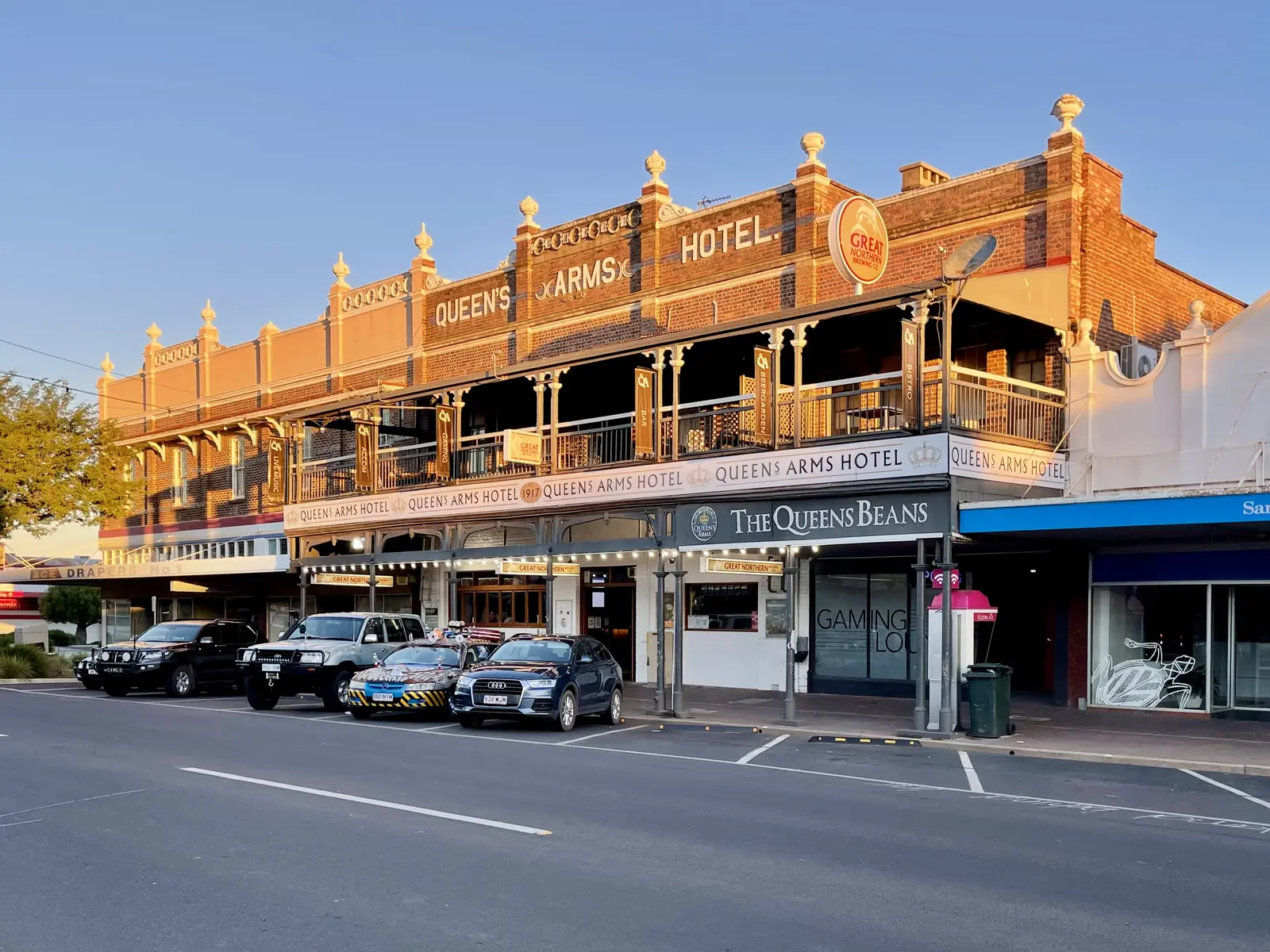
Dalby
Dalby travel guide: 209 km west of Brisbane on the Warrego Highway, Pioneer Park Museum, Lake Broadwater, Bunya Mountains day trips, stays and road access.
Read · 10 min
Queensland · Maranoa
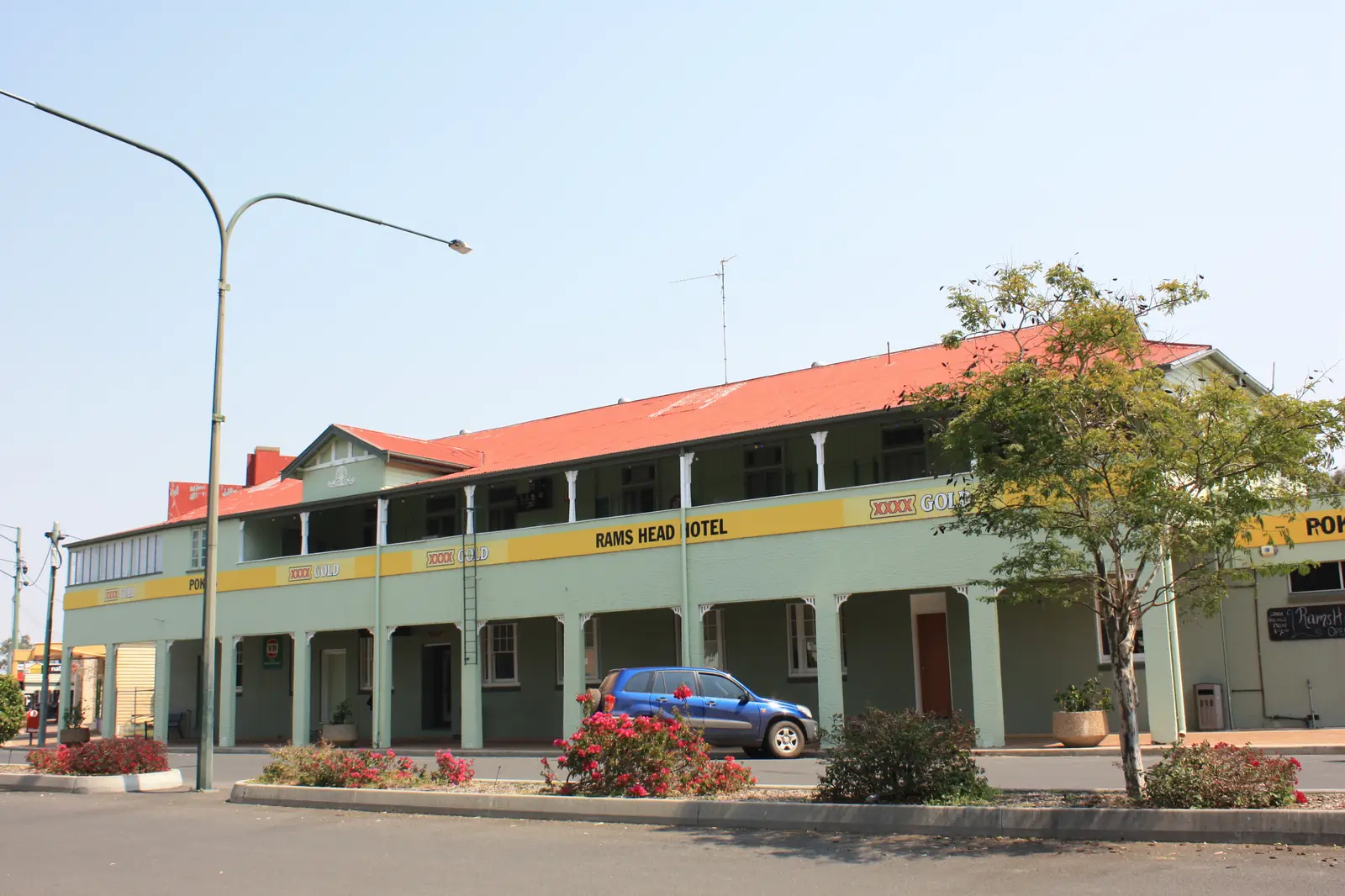
Roma
Roma travel guide: Queensland's first town proclaimed after separation, the Big Rig oil and gas museum, the bottle tree Heroes Avenue and the saleyards.
Read · 6 min
Queensland · Darling Downs
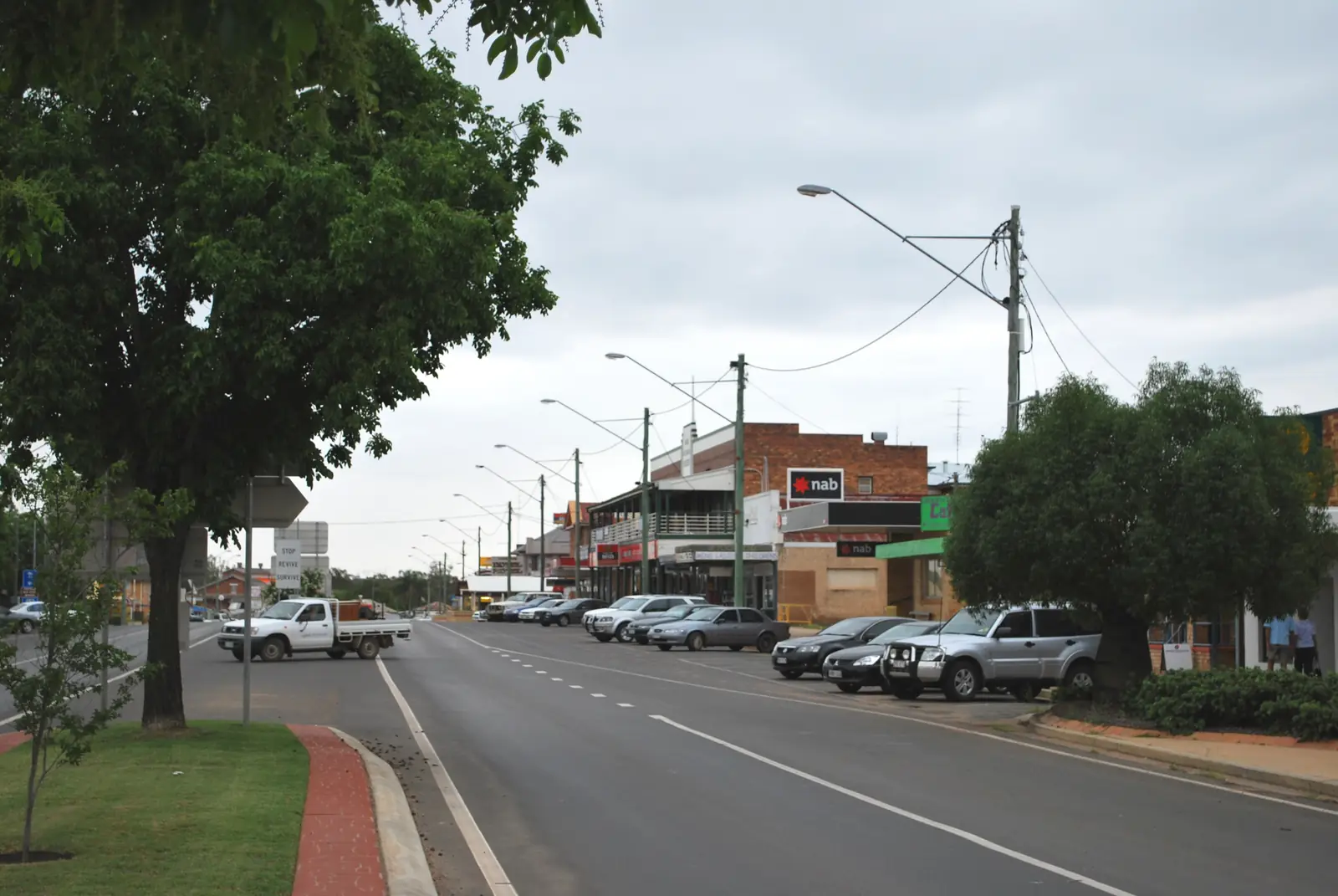
Millmerran
Millmerran travel guide: western Darling Downs farming town, home of the Australian Camp Oven Festival, its murals, history and nearby attractions.
Read · 5 min
Queensland · Western Downs
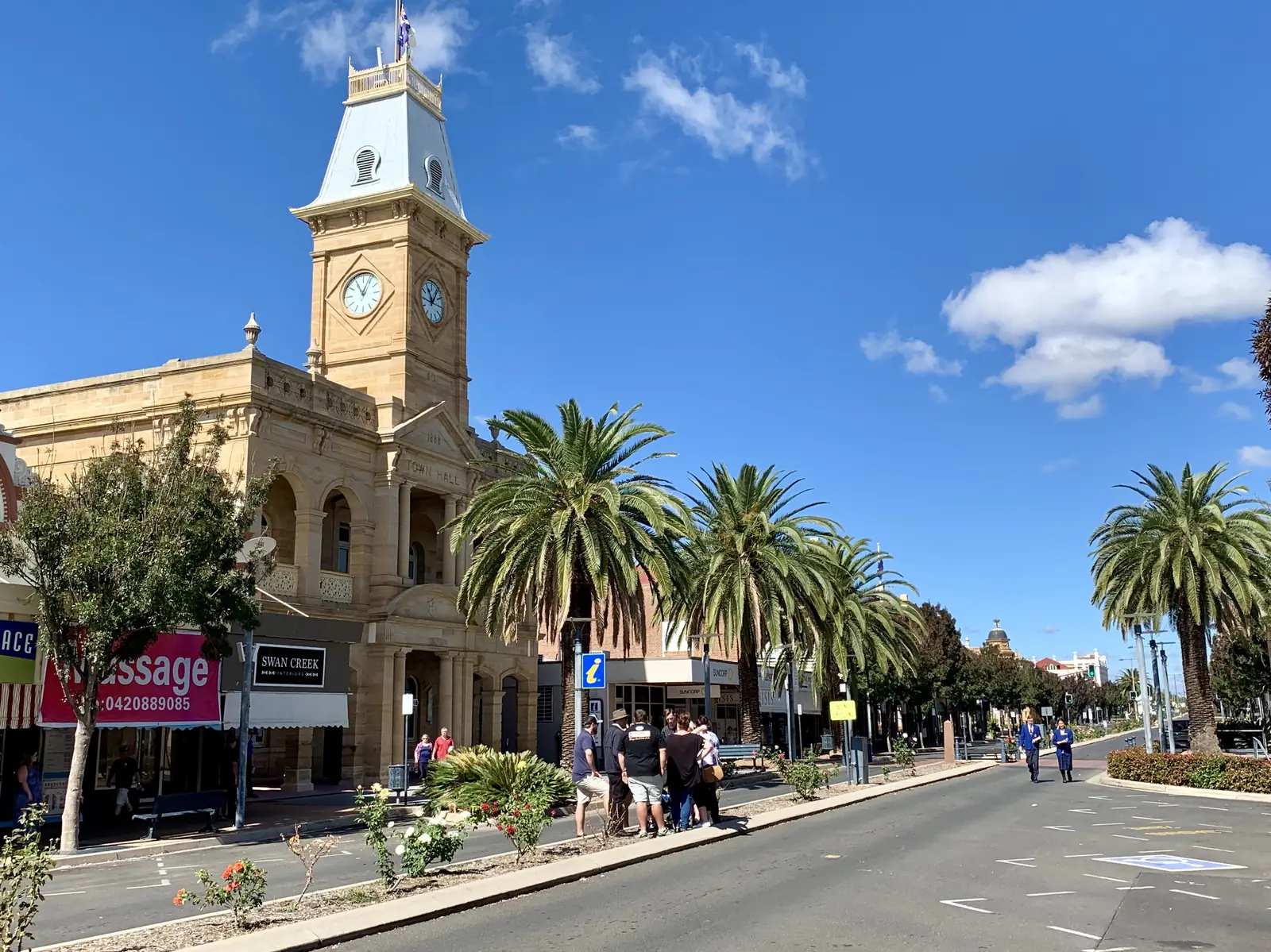
Miles
Miles Qld travel guide: Warrego and Leichhardt highway crossroads, Historical Village Museum, Dogwood Crossing, stays, camping and Western Downs road access.
Read · 11 min
Queensland · Southern Downs
Warwick
Warwick Qld travel guide: Southern Downs service town 154 km from Brisbane, Jackie Howe heritage, Main Range approaches, stays and sealed highway access — a gateway, not deep outback.
Read · 10 min
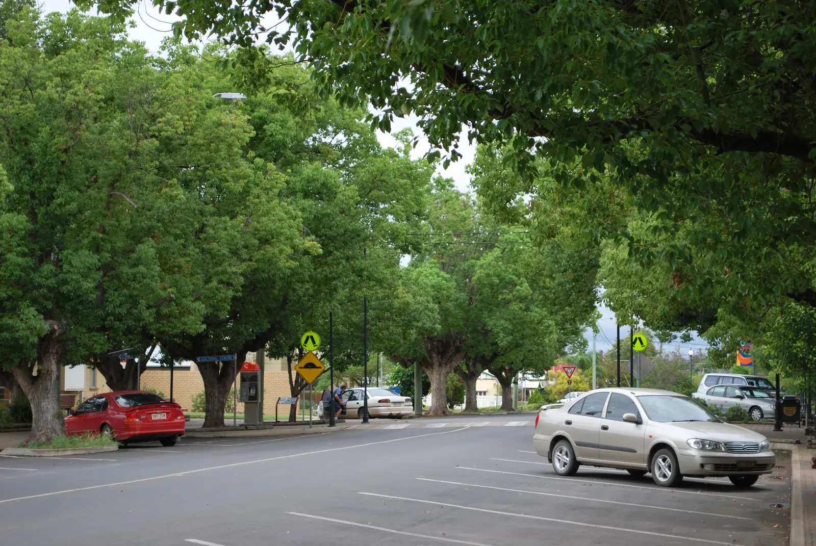
Queensland · Western Downs
Chinchilla
Chinchilla travel guide: Western Downs melon capital on the Warrego Highway, biennial Melon Festival, Big Melon, Botanic Parkland, weir camping and road access.
Read · 9 min
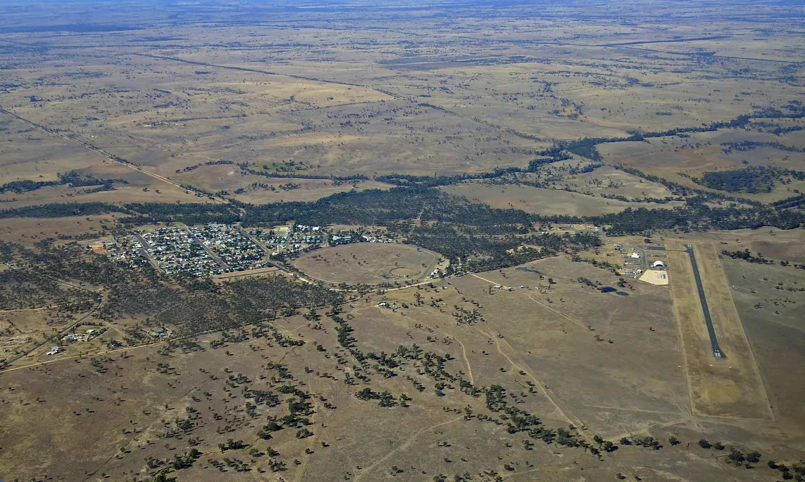
Queensland · The Downs
Injune
Injune travel guide: Maranoa town 90 km north of Roma on the Carnarvon Highway — Carnarvon Gorge approach, lagoon walk, Possum Park and visitor centre at 32 Hutton Street.
Read · 8 min
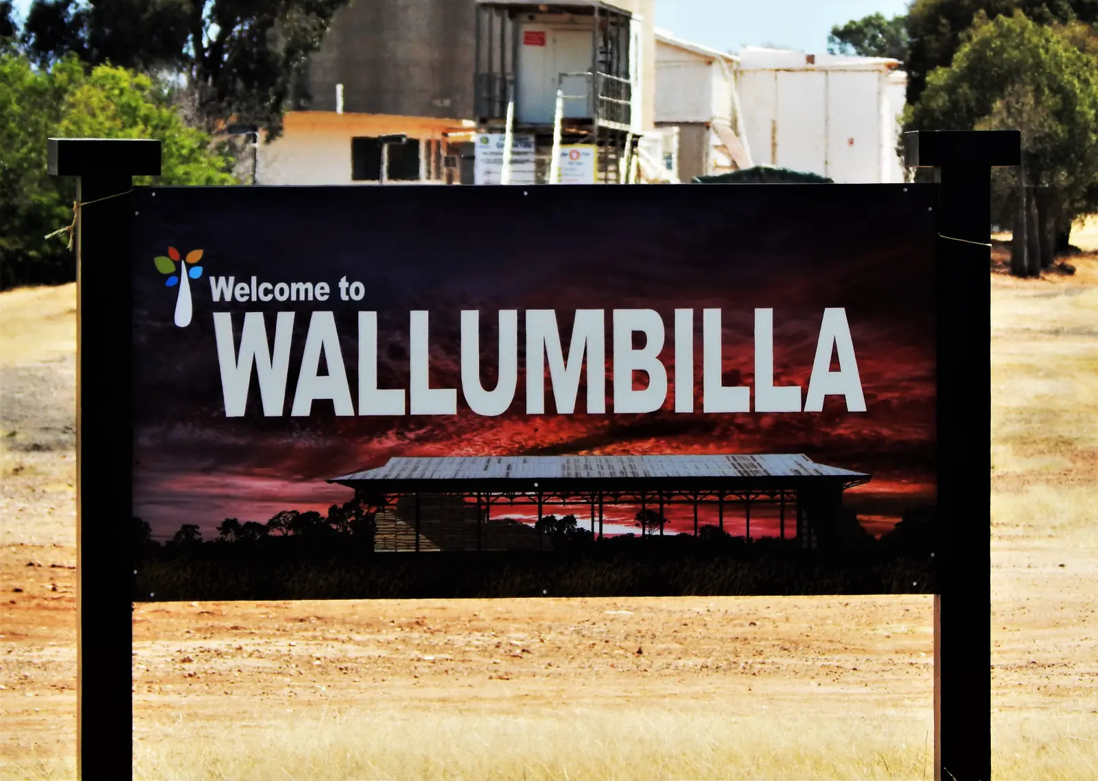
Queensland · The Downs
Wallumbilla
Wallumbilla travel guide: Maranoa town 40 km east of Roma on the Warrego Highway — Calico Cottage VIC, Heritage Complex, Harry Thompson Walk and Pickanjinnie Monument.
Read · 6 min
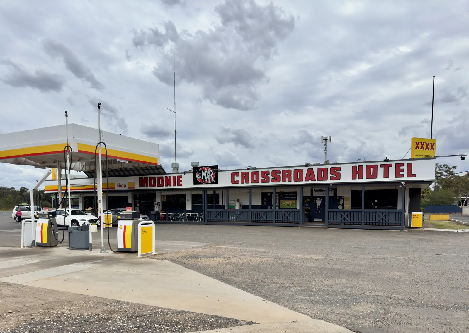
Queensland · The Downs
Moonie
Moonie travel guide: Western Downs oil town at the Leichhardt and Moonie Highway junction — Australia’s first commercial oilfield, Rural Transaction Centre, Census and climate.
Read · 7 min
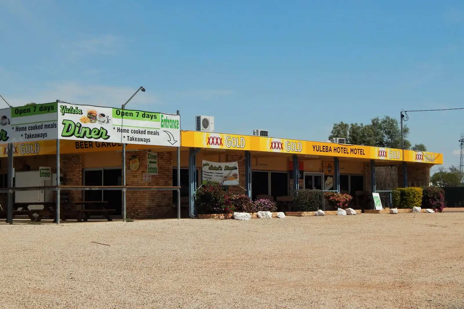
Queensland · The Downs
Yuleba
Yuleba travel guide: Maranoa town 60 km east of Roma on the Warrego Highway — last horse-drawn Cobb & Co mail to Surat in 1924, Judd’s Lagoon, Census and climate.
Read · 8 min
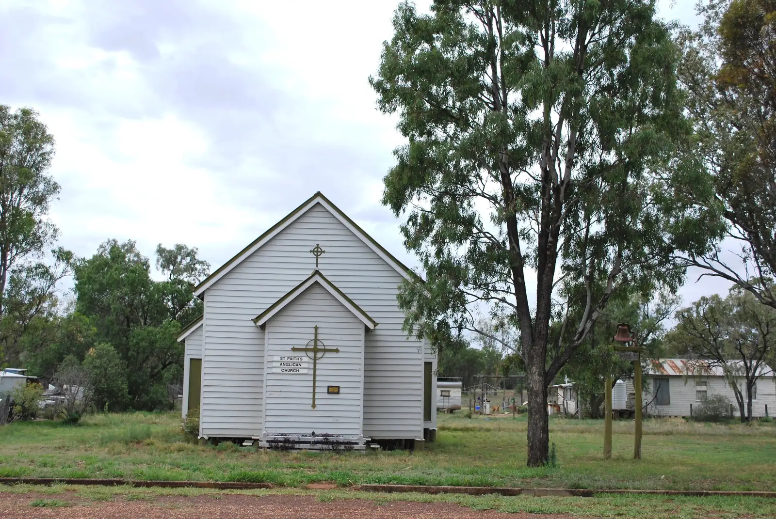
Queensland · The Downs
Jackson
Jackson travel guide: Maranoa town on the Warrego Highway between Dulacca and Yuleba — Old Play Shed, Census SAL31421, climate. This is Jackson Queensland, not Jackson NT.
Read · 8 min
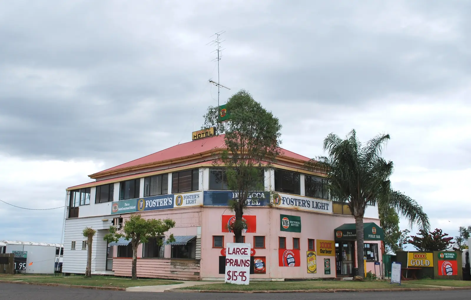
Queensland · The Downs
Dulacca
Dulacca travel guide: Western Downs town 42 km west of Miles on the Warrego Highway — Pink Pub on the Hill (1908), Roy Henderson Park, Census SAL30888. Link Miles and Yuleba.
Read · 8 min
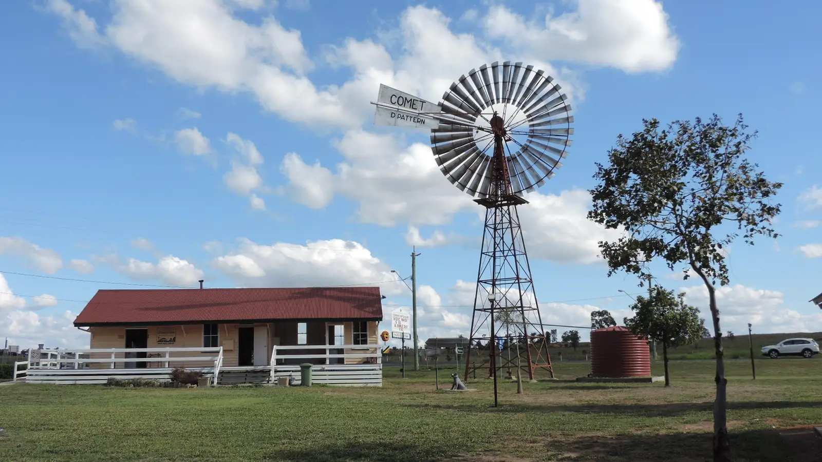
Queensland · The Downs
Wandoan
Wandoan travel guide: Western Downs wheat and cattle town on the Leichhardt Highway between Miles and Taroom — Waterloo Plain, Juandah Head Station, Soldier Settlers Avenue of Honour. Not a Miles suburb.
Read · 9 min
Frequently asked questions
Which towns are in this Downs hub?
This hub covers [Roma](/outback-towns/queensland/roma), [Millmerran](/outback-towns/queensland/millmerran), [Dalby](/outback-towns/queensland/dalby) and [Injune](/outback-towns/queensland/injune), the Carnarvon Highway approach to [Carnarvon Gorge](/national-parks/carnarvon-gorge). In the original Outback Now directory this region grouped Darling Downs, Western Downs and Maranoa gateways on the road west.
How far is Roma from Brisbane?
About 480 km west on the Warrego Highway. Roma also has flights from Brisbane and is on Queensland Rail's Westlander route towards Charleville.
Is this really the outback?
The Darling Downs and Western Downs are farming and energy country on the eastern side of the trip, not the Channel Country. Travellers use them as the first overnight stops on the Warrego Highway before the south-west and central west. Millmerran's own guide notes that it is a Downs town rather than outback proper.
What is Roma known for?
The Big Rig oil and gas heritage centre (natural gas was found here in 1900 while drilling for water), the Avenue of Heroes bottle trees, and one of Australia's biggest cattle saleyards. Maranoa visitor information can advise on saleyard tour days.
Sources and further reading
Facts on this page were checked against these primary and official sources. Conditions change — confirm before you travel or buy.
- Outback Queensland — Outback Queensland Tourism Association
- QLDTraffic — Queensland Government
- Maranoa Regional Council — Maranoa Regional Council
- Roma Revealed — visitor information — Maranoa Regional Council
- Western Downs Queensland — Dalby — Western Downs Regional Council
- Climate statistics for Dalby Airport (041522) — Bureau of Meteorology
- Toowoomba Regional Council — Toowoomba Regional Council