At a glance
Sourced facts only. Distances and services change — confirm before you travel.
- Population
- 131 people (SAL31463, 2021 Census)
- Local government
- Barcoo Shire
- Nearest regional city
- Welford National Park 45 km south and Longreach 260 km north (Queensland Parks); Windorah 78 km on Outback Queensland’s stay list
- Nearest fuel
- Named on this hub’s fuel FAQ — confirm in Jundah or Windorah. This glance does not list brands.
- Nearest hospital or clinic
- Confirm with Queensland Health — do not invent a clinic name.
- Mobile coverage
- Check Telstra and Optus coverage maps before travel; do not assume a signal on floodways, parks or unsealed approaches.
- Best time to visit
- May–September on Windorah Evap (038024) cooler mean maxima (July 21.4 °C; January 38.1 °C). QLDTraffic after rain.
Climate
Monthly means from the Bureau of Meteorology station Windorah Evap (038024). This is not a forecast. Commenced 1887. Elevation 132 m. Status: Open. Annual mean rainfall 290.9 mm. Jundah Post Office is not on the Queensland monthly-statistics index (cw_038012 returned not found). Windorah Evap is the labelled Barcoo/Channel Country comparison on the Jundah weather page.
| Month | Mean max (°C) | Mean min (°C) | Rainfall (mm) |
|---|---|---|---|
| Jan | 38.1 | 24.2 | 44.0 |
| Feb | 36.5 | 23.5 | 48.1 |
| Mar | 34.5 | 21.1 | 43.5 |
| Apr | 30.2 | 16.1 | 18.8 |
| May | 25.4 | 11.3 | 18.1 |
| Jun | 21.7 | 7.6 | 16.8 |
| Jul | 21.4 | 6.6 | 14.4 |
| Aug | 24.1 | 8.1 | 10.2 |
| Sep | 28.5 | 12.2 | 10.9 |
| Oct | 32.6 | 16.5 | 17.2 |
| Nov | 35.5 | 19.9 | 21.9 |
| Dec | 37.8 | 22.6 | 30.0 |
Jundah in pictures
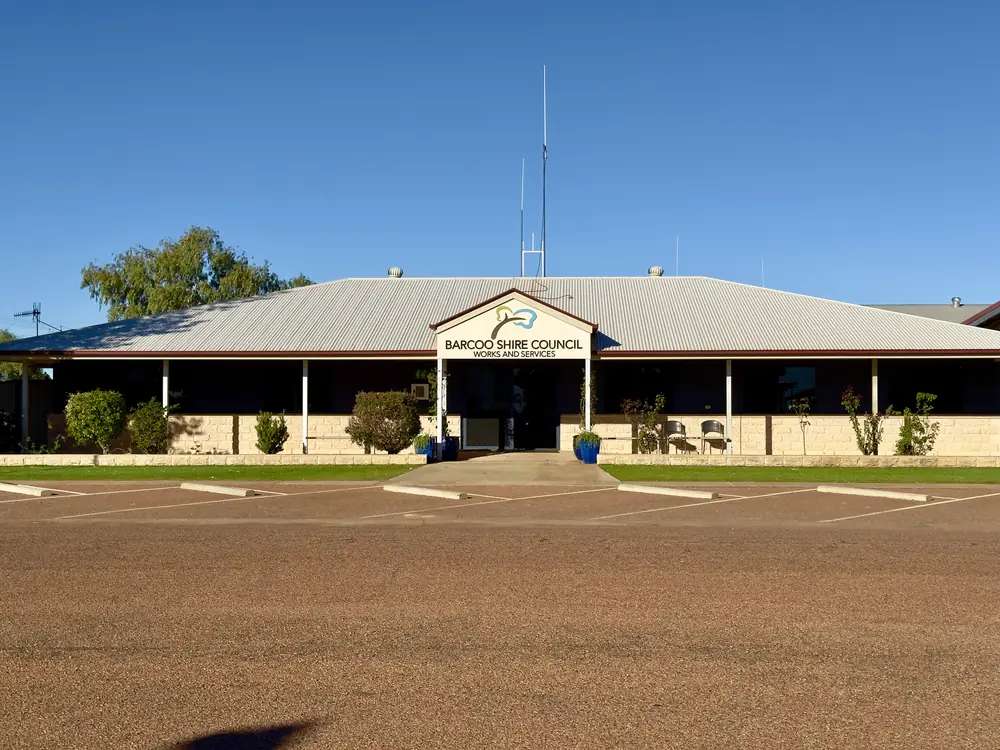
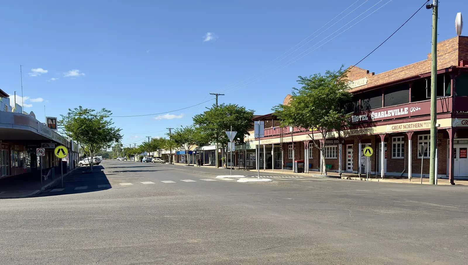
Barcoo Shire Council in JundahPhoto: Kgbo · CC BY-SA 4.0 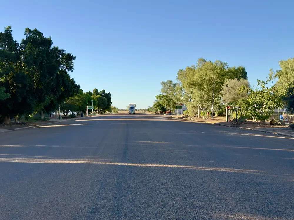
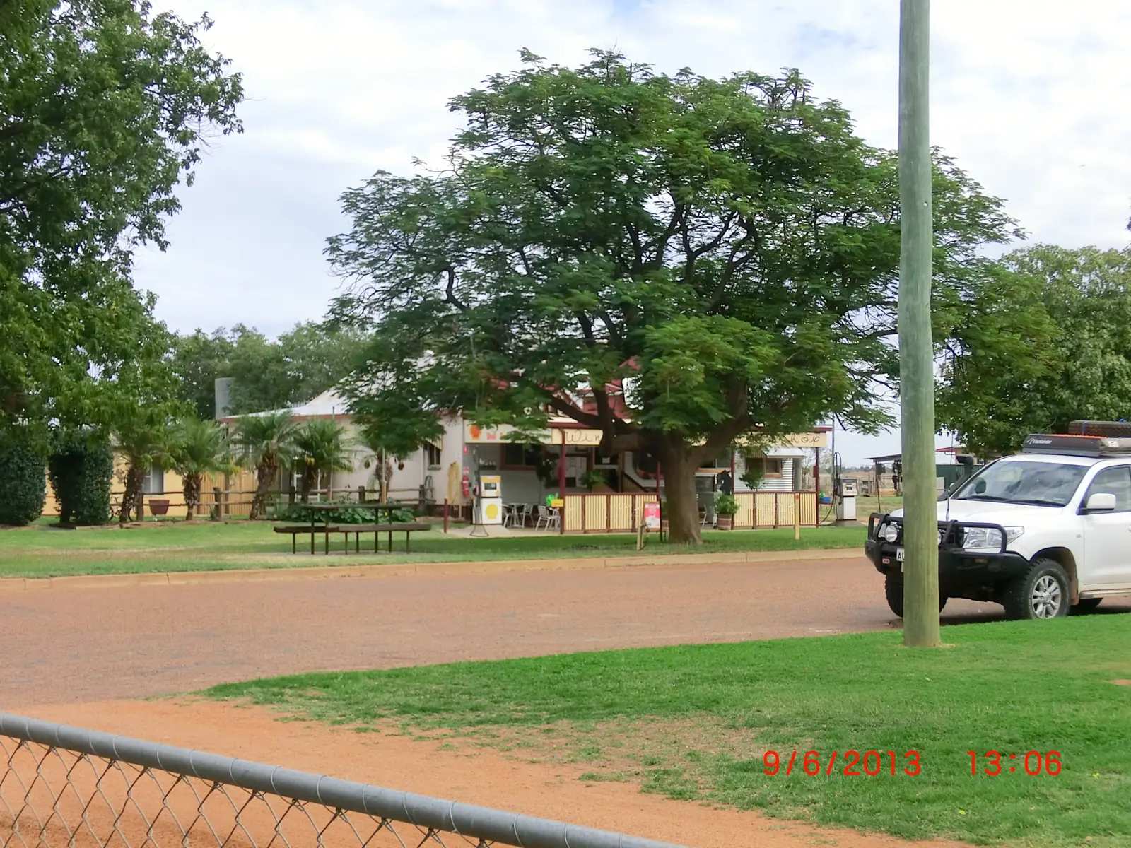
Thomson Developmental Road in JundahPhoto: Kgbo · CC BY-SA 4.0 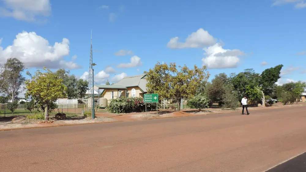
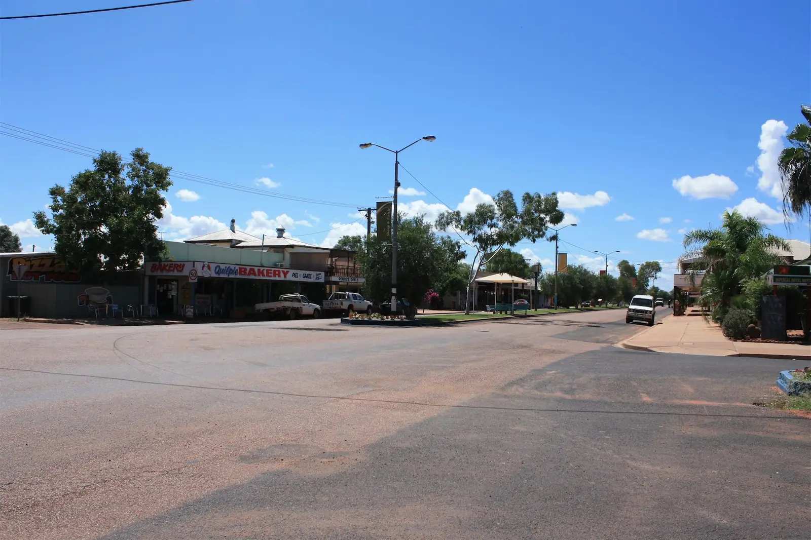
Jundah's police station on Dickson StreetPhoto: Kerry Raymond · CC BY 4.0 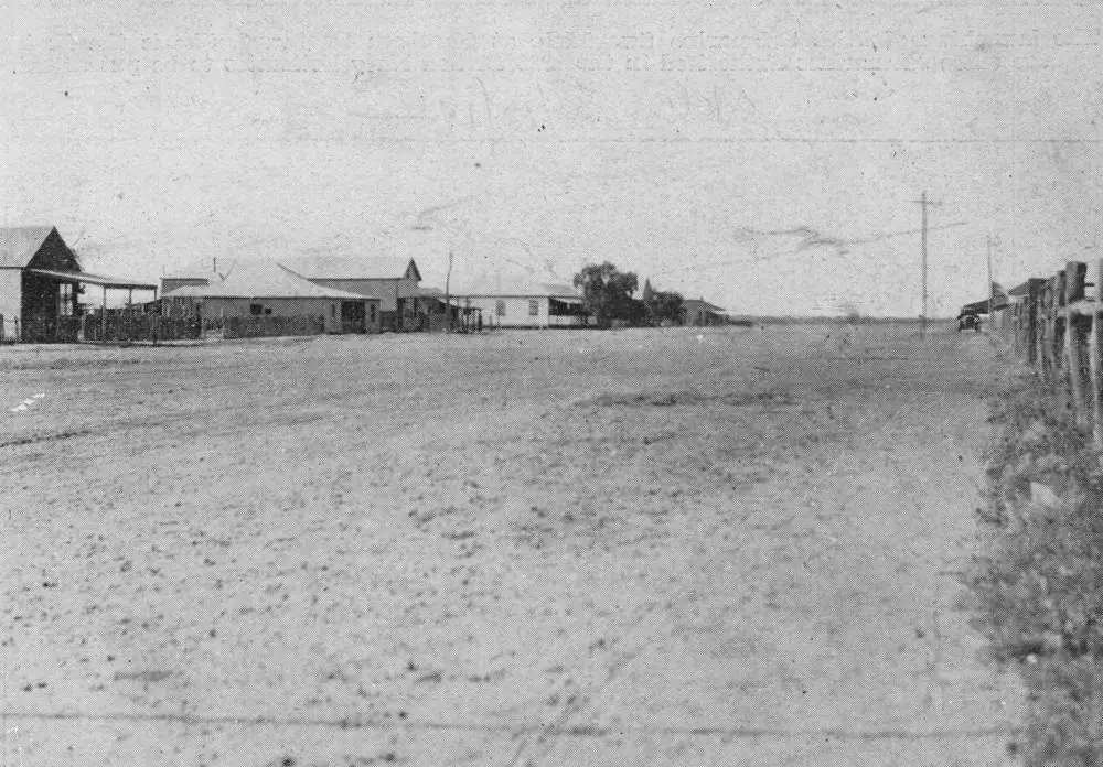
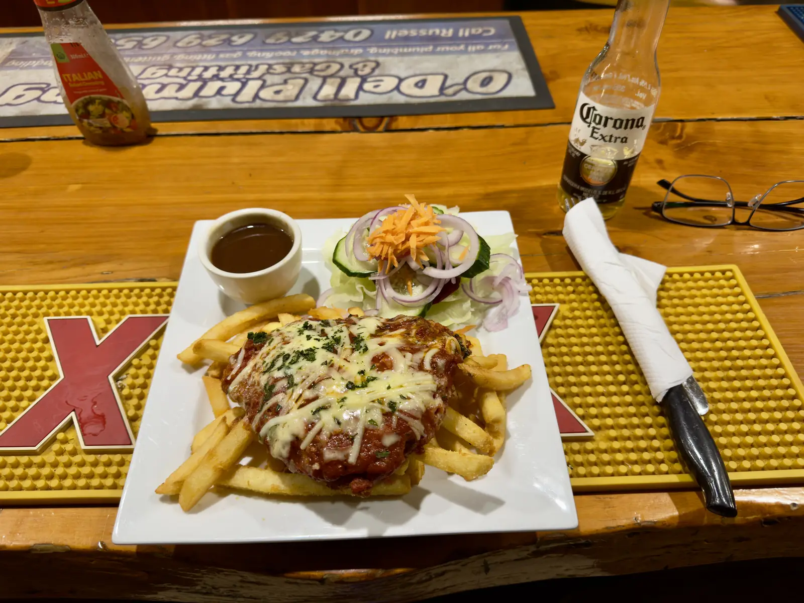
The township of JundahPhoto: Item is held by John Oxley Library, State Library of Queensland. · Public domain
Jundah is a Barcoo Shire town in Queensland’s south-west, on the Thomson River in Channel Country. Outback Queensland describes a small rural town along the Thomson, with a Heritage Trail, historic buildings that supported surrounding pastoral properties, and fishing and camping on the river. Queensland Parks puts Welford National Park 45 km south of Jundah and Jundah 260 km south of Longreach. Outback Queensland’s stay list puts Windorah hotels and the Windorah Caravan Park at 78 km. This is remote Channel Country. You need QLDTraffic after rain, because a 45 km run to Welford is no use if the Jundah–Quilpie road is closed.
The Australian Bureau of Statistics does not publish a 2021 Urban Centre (UCL) named Jundah. Use suburbs-and-localities SAL31463: 131 people, median age 39, sex split 50.0% male / 50.0% female. QuickStats also prints 29 families and 105 private dwellings. Travellers stop for the Barcoo Shire Museum, Settler’s Nature Drive, the Thomson, and Welford.
Where it is, and how far
Jundah sits on the Thomson Developmental corridor through Barcoo Shire, with Welford on the Jundah–Quilpie Road. Queensland Parks: Welford has a northern entrance via Longreach or Jundah (partially sealed Jundah–Quilpie Road) and a southern entrance via Blackall, Quilpie or Windorah. Access roads are mostly unsealed; a 4WD is recommended. Even small amounts of rain can make roads impassable.
| Place | Distance from Jundah (sourced) |
|---|---|
| Welford National Park | 45 km south (Queensland Parks); Visit Barcoo 2025 guide also prints 45 km south-southeast |
| Longreach | 260 km north (Queensland Parks, via the same Welford location line) |
| Windorah | 78 km (Outback Queensland Jundah stay list) |
| Quilpie | not printed as a single Jundah kilometre on the pages used; Queensland Parks puts Welford’s southern entrance 253 km from Quilpie |
Quilpie is boulder-opal country to the south-east of this Channel Country pocket, not a Jundah suburb. Thargomindah is further south still.
Facts at a glance
Population. ABS 2021 Census, Suburbs and Localities SAL31463: 131 people. Median age 39. 29 families, 105 private dwellings. No UCL. Use the Jundah SAL QuickStats.
Climate. BOM lists JUNDAH POST OFFICE, 038012 on the Queensland rainfall-station directory (about 24.83°S, 143.06°E, from April 1887). BOM does not publish a monthly climate-averages table for that site. The nearest published all-years table is Windorah Evap, 038024, commenced 1887, elevation 132 m, January mean maximum 38.1 °C, July 21.4 °C, July mean minimum 6.6 °C, annual mean rainfall 290.9 mm (135 years, 1887–2026). Full columns: BOM Windorah Evap. See Jundah weather.
Visitor information. Jundah Visitor Information Centre, 11 Dickson Street, (07) 4658 6930, jundahinfo@barcoo.qld.gov.au. Barcoo Shire’s information-centre listing: Monday, Wednesday, Thursday and Friday 8am–2pm, Tuesday 11.30am–5pm, Saturday and Sunday closed. Barcoo Shire Council itself is at 6 Perkins Street, (07) 4658 6900, shire@barcoo.qld.gov.au / tourism@barcoo.qld.gov.au on the Welford tourism-links page. Windorah VIC: 7 Maryborough Street, (07) 4656 3063.
Traditional Owners
Visit Barcoo’s visitor guide publishes an Acknowledgement of Country for the traditional owners of the Barcoo Shire region and asks travellers to respect the land and its traditions, leaving country as they find it. Queensland Parks’ Welford about page records that First Nations people of the area have a long and ongoing connection to the land and waterways of the Barcoo River, and that the park contains places of significant cultural heritage, including water wells and stone arrangements on Visit Barcoo’s Welford paragraph. Neither page names a single nation for the Jundah townsite only. This hub follows that wording rather than flattening several Channel Country nations onto one label. Confirm a sentence you want on a plaque with the Jundah Visitor Information Centre.
History
Visit Barcoo’s 2025 guide: Jundah began as a township reserve in 1878 to support cattle and sheep grazing that remain a backbone of the region. Barcoo Shire was established 3 March 1903. Later timeline points on that guide include electricity in 1959, television in 1983, an automatic telephone exchange in 1988, treated water in 1996, the shire remaining unchanged after amalgamations in 2008, and mobile coverage in 2016. The same timeline names two opal specimens found in 1988 and 1989. This hub reports those official timeline lines; it does not turn them into a jewellery catalogue.
The Barcoo Shire Museum, corner of Macrossan and Miles Streets, was instigated by Barcoo Shire women and officially opened 13 October 1989. Barcoo Shire Council: the building was originally Cartwright’s general store, established 1899; the shopfront mural was painted in 1990 by Jundah State School children. Displays include communication items, mortuary tools, early education relics, kerosene-case furniture, early photographs and the barcoo dog. Two restored wagons — a bullock-drawn wool wagon and a general-purpose wagon — are displayed in the museum grounds or Memorial Park depending on the council page. Opening hours on the museum pages: Monday–Friday 8.30am–5.00pm. Phone (07) 4658 6930.
Outback Queensland names a Jundah Heritage Trail sharing stories of early settlement and station life. Visit Barcoo’s 2025 guide: walk the town’s informative pioneer trail, then the museum.
Things to do
Barcoo Shire Museum — as above.
Settler’s Nature Drive — Visit Barcoo: a 7 km loop starting at the Thomson River, with desert spinifex, swampland, gidgee, mulga and identification signs, along the river and behind the township, back out on the Jundah–Quilpie Road. The 2025 guide says you can drive, walk or cycle.
Thomson River — Outback Queensland: fishing, camping, quiet time. Visit Barcoo: fishing, yabbying, kayaking, birdwatching. The 2025 guide names yellowbelly or catfish. Queensland fisheries rules apply.
Barcoo Shire Memorial Park — Visit Barcoo: across from the Jundah General Store; cenotaph for shire soldiers from two World Wars and the Boer War; BBQ, picnic area, playground; showers and toilets.
Welford National Park — 124,000 ha; Barcoo River; Mitchell grass, mulga, red sand dunes, ghost gums, spinifex; yellow-footed rock-wallaby; 1882 pisé homestead (not open to the public; staff quarters). Little Boomerang Waterhole camping with a permit. 4WD recommended. See things to do in Jundah.
Jundah Hotel — named by Barcoo Shire as the heart-of-town pub with motel rooms and camp sites, (07) 4658 6166.
Where to stay
Barcoo Shire names:
- Jundah Hotel / Jundah Caravan Park, Dickson Street (northern entry to town; caravan-park listing 2 Dickson Street) — powered sites, laundry, ablution block, barbecue, river views, close to the VIC, post office and pool; manned by the Jundah Hotel; pets welcome on a leash; (07) 4658 6166. Council hotel page also lists hotel/motel rooms with air-conditioning and TVs and shared bathroom, and camp sites, with fees printed on that page — confirm current fees.
Queensland Parks names:
- Little Boomerang Waterhole, Welford — Barcoo River, permit required, 4WD recommended, about 10 km west of the Jundah–Quilpie road turn-off.
Outback Queensland’s Jundah page lists Windorah stays at 78 km as nearby, not in-town. Confirm at (07) 4658 6930.
- How to choose: Jundah accommodation
- Camping detail: Jundah caravan parks
- Operator enquiries: feature your business
If Jundah is full, Windorah is 78 km on that stay list. That is a distance fact, not a booking guarantee.
Caravan and camping
Vans use Jundah as a Channel Country overnight on the Thomson and as a Welford jump-off. Official named camps are the Jundah Hotel Caravan Park and Little Boomerang (permit, 4WD). Ask the Jundah VIC for stay limits and dump points. Read Jundah caravan parks and outback camping.
After rain, Welford access is the constraint. Queensland Parks: carry at least two weeks of extra supplies in case of stranding. QLDTraffic and park alerts first.
Fuel and services
A locality of 131 people will not match Longreach for a hospital. Visit Barcoo’s 2025 guide names Jundah Roadhouse, 24 Dickson Street, 24-hour fuel, Jundah Primary Health Centre on Hospital Road (07) 4658 6500, and RFDS Charleville for emergencies. This guide does not list bowser brands. Confirm fuel when you arrive. Fill up whenever you can. For current questions, use Barcoo Shire Council and (07) 4658 6930.
Road access
The Jundah–Quilpie Road is the Welford spine; Queensland Parks calls it partially sealed from the northern entrance. Other Barcoo roads are mostly unsealed. 4WD is recommended for the park. After rain, check QLDTraffic and 13 19 40, plus Welford park alerts. Do not drive around closed signs to keep a camping permit. Queensland Parks: flood waters can flow down watercourses from hundreds of miles away even if there has been no local rain. Mobile coverage is not available in the national park; UHF channel 3 duplex is the Barcoo Shire emergency channel on the visiting-safely page.
North: Longreach 260 km on the park page. South: Windorah 78 km on the stay list, then Quilpie or Birdsville country. Use the Windorah guide for Cooper Creek.
Nearby parks and towns
Parks:
- Welford National Park — 45 km, 124,000 ha, Little Boomerang camping
- Thomson River banks and Settler’s Nature Drive (Visit Barcoo)
Towns on this site:
- Windorah — 78 km; Cooper Creek, sandhills
- Quilpie — boulder opal, southern Welford approach
- Thargomindah — artesian hydro, further south
- Charleville — RFDS base named on Visit Barcoo’s emergency list
When to go, and how long
Windorah Evap’s January mean maximum of 38.1 °C is hot for Settler’s Nature Drive at midday. July’s 21.4 °C mean maximum is the comfortable walking season; July’s 6.6 °C mean minimum is why a river camp needs a layer. Annual rainfall 290.9 mm is Channel Country dry until it is not — seasonal flooding is the Outback Queensland story. Two hours at the museum, memorial park and river is the minimum. A night lets you use the hotel park if the VIC has confirmed it. Two nights only if Welford is open, booked, and QLDTraffic agrees. Queensland Parks: be totally self-sufficient.
Operators who want a checked listing: feature your business. The listings slot on this hub stays empty until then.
Plan this trip
Tell us the dates, who you are travelling with and where you need help. We reply with planning notes for Jundah — we are not a booking agent.
Events and road-conditions newsletter
Occasional notes on outback festivals, race days and official road-condition sources — not a daily blast. We use these details only to send the newsletter.
Queensland · South West
Jundah accommodation
Where to stay in Jundah: Jundah Hotel and Caravan Park on Dickson Street, plus Little Boomerang camping in Welford National Park with a permit. Confirm at the VIC.
Read · 3 min
Queensland · South West
Jundah caravan parks
Camping in Jundah: Jundah Hotel Caravan Park on Dickson Street, plus Little Boomerang Waterhole in Welford National Park with a permit. Confirm at the VIC and park alerts.
Read · 3 min
Queensland · South West
Jundah weather
Jundah climate: BOM Jundah Post Office (038012) has no monthly averages table. Use Windorah Evap (038024): January mean max 38.1 °C, July 21.4 °C, 290.9 mm rain.
Read · 4 min
Queensland · South West
Things to do in Jundah
Things to do in Jundah: Barcoo Shire Museum, Settler’s Nature Drive, Thomson River, Memorial Park and Welford National Park 45 km south. Confirm at the Jundah VIC.
Read · 4 min
Frequently asked questions
How far is Jundah from Welford National Park, Windorah and Longreach?
Queensland Parks puts Welford about 45 km south of Jundah and Jundah 260 km south of Longreach. Outback Queensland’s Jundah stay list puts the Western Star Hotel and Windorah Caravan Park at 78 km.
What is Jundah’s population?
131 people at the 2021 Census for Jundah suburbs-and-localities (SAL31463). The ABS does not publish a 2021 Urban Centre (UCL) named Jundah.
Where is the visitor centre?
Jundah Visitor Information Centre, 11 Dickson Street, phone (07) 4658 6930, jundahinfo@barcoo.qld.gov.au. Barcoo Shire’s information-centre listing prints Monday, Wednesday, Thursday and Friday 8am–2pm, Tuesday 11.30am–5pm, closed weekends.
Can I camp at Jundah and Welford?
Yes, as named types. Barcoo Shire names the Jundah Hotel and Caravan Park on Dickson Street. Queensland Parks names Little Boomerang Waterhole camping in Welford, with a permit, 4WD recommended. Confirm roads on QLDTraffic and park alerts.
What is the weather like in Jundah?
BOM lists Jundah Post Office (038012) as a rainfall station but does not publish a monthly climate-averages table. Use Windorah Evap (038024), 78 km on Outback Queensland’s stay list: January mean maximum 38.1 °C, July 21.4 °C, annual rainfall 290.9 mm.
Is there fuel in Jundah?
Visit Barcoo’s 2025 visitor guide names Jundah Roadhouse, 24 Dickson Street, as 24-hour fuel. Confirm when you arrive. This hub does not list bowser brands.
Sources and further reading
Facts on this page were checked against these primary and official sources. Conditions change — confirm before you travel or buy.
- Jundah 2021 Census QuickStats (SAL31463) — Australian Bureau of Statistics
- Climate statistics for Windorah Evap (038024) — Bureau of Meteorology
- Outback Queensland — Jundah — Outback Queensland Tourism Association
- Visitor Information Centres — Barcoo Shire — Barcoo Shire Council
- Jundah Caravan Park — Barcoo Shire Council
- Barcoo Shire Museum — Barcoo Shire Council
- Visit Barcoo — Jundah things to do — Barcoo Shire Council
- Welford National Park — Queensland Parks and Wildlife Service
- Visiting Welford safely — Queensland Parks and Wildlife Service
- Little Boomerang Waterhole camping — Queensland Parks and Wildlife Service
- QLDTraffic — Queensland Government