At a glance
Sourced facts only. Distances and services change — confirm before you travel.
- Population
- 1,063 people (UCL115005, 2021 Census)
- Local government
- Balranald Shire
- Traditional Owners
- Wathi Wathi, Daddi Daddi, Mutthi Mutthi and Nari Nari peoples named for the Yanga parksNSW Yanga parks plan of management. Mungo is jointly managed with the Ngyiampaa, Mutthi Mutthi and Southern Paakantyi people. Confirm a townsite sentence at 83 Market Street.
- Nearest regional city
- Mildura, less than two hours (Visit NSW). A Balranald–Mildura kilometre is not printed on that page.
- Capital
- Just under nine hours from Sydney, five from Melbourne, six from Adelaide (Visit NSW). Kilometres to those capitals are not printed on that page.
- Nearest fuel
- Service town — confirm bowsers in Balranald; this guide does not name a brand
- Mobile coverage
- Check Telstra and Optus coverage maps before travel; do not assume a signal on the unsealed Mungo road.
- Best time to visit
- May–September (cooler BOM Balranald RSL mean maxima). Visit NSW names long Sturt Highway drives and park roads that close after rain.
Climate
Monthly means from the Bureau of Meteorology station Balranald (RSL) (049002). This is not a forecast. Open. Commenced 1879. Elevation 61 m. Temperature maxima 105 years (1907–2024); rainfall 146 years (1879–2026).
| Month | Mean max (°C) | Mean min (°C) | Rainfall (mm) |
|---|---|---|---|
| Jan | 33.1 | 16.5 | 22.9 |
| Feb | 32.5 | 16.4 | 24.2 |
| Mar | 29.2 | 13.7 | 22.5 |
| Apr | 24.0 | 9.6 | 24.1 |
| May | 19.4 | 6.8 | 31.1 |
| Jun | 16.1 | 4.4 | 29.3 |
| Jul | 15.7 | 3.6 | 26.2 |
| Aug | 17.5 | 4.8 | 29.1 |
| Sep | 21.0 | 7.2 | 29.0 |
| Oct | 24.6 | 9.9 | 31.3 |
| Nov | 28.1 | 12.7 | 29.0 |
| Dec | 30.9 | 14.9 | 25.5 |
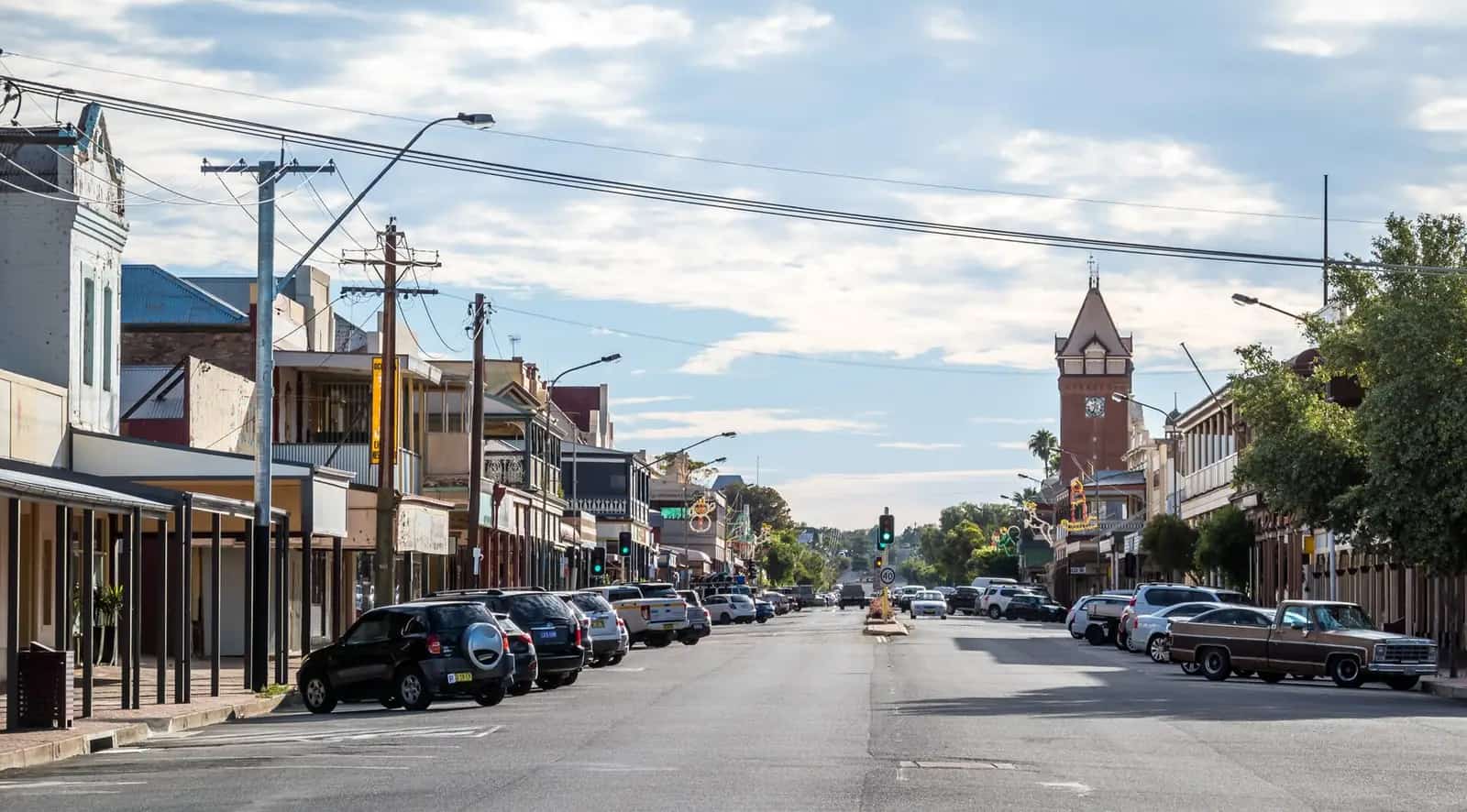
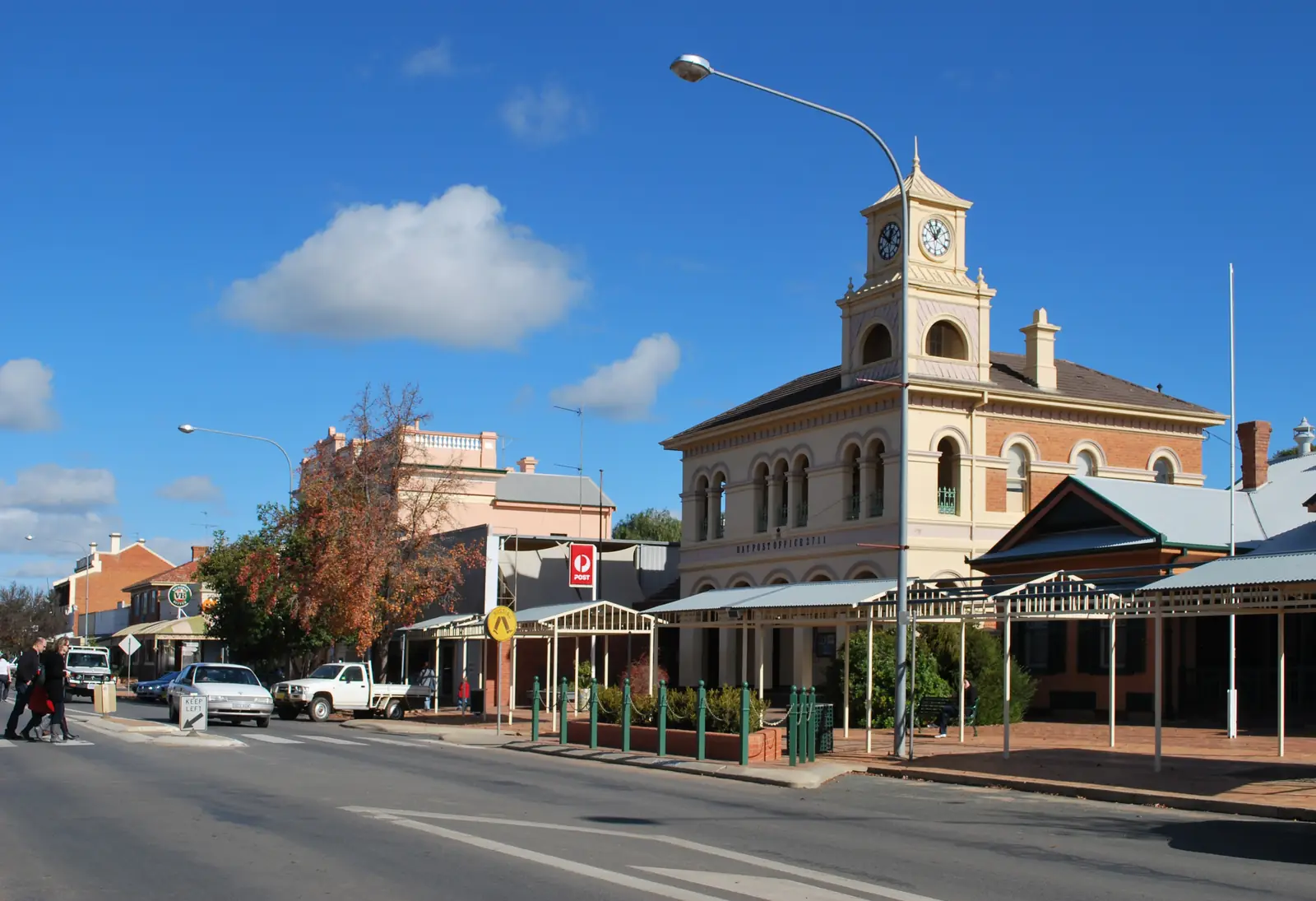
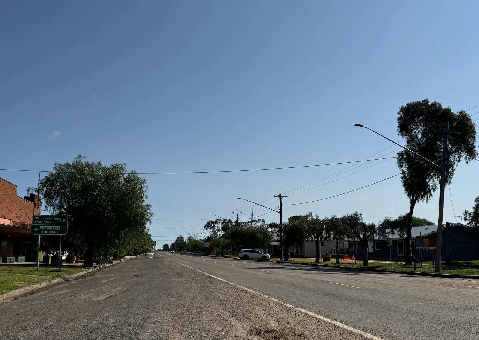
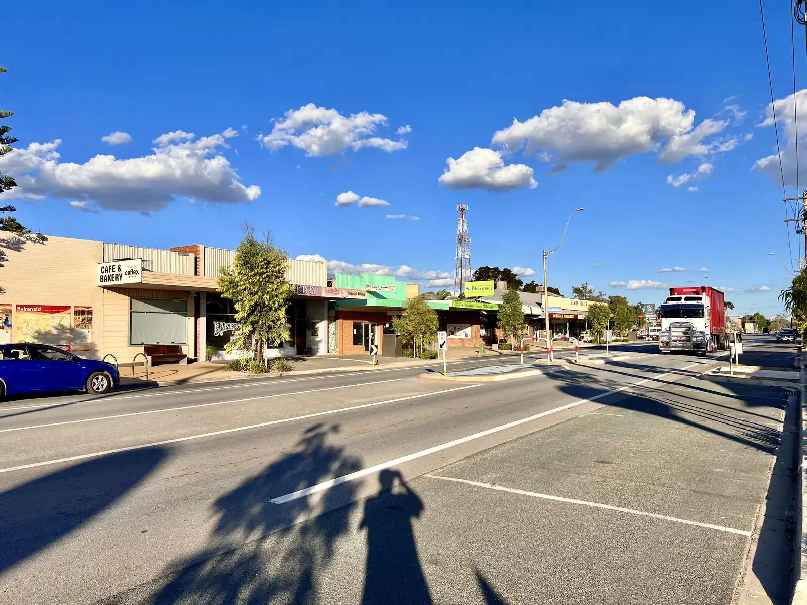
Balranald in pictures
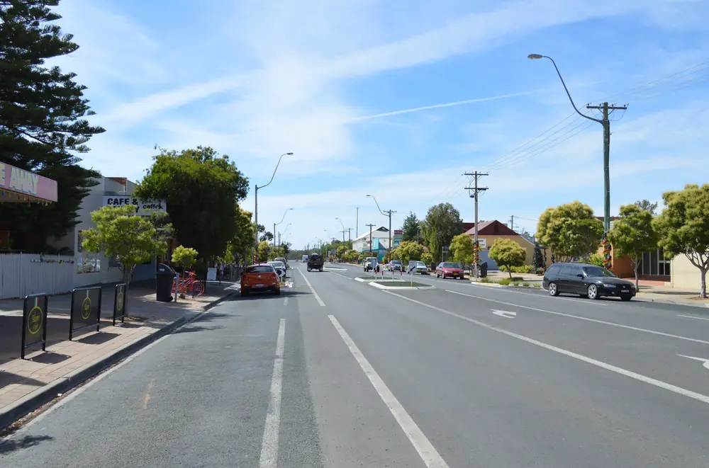
Market Street in BalranaldPhoto: Mattinbgn (talk · contribs) · CC BY 3.0 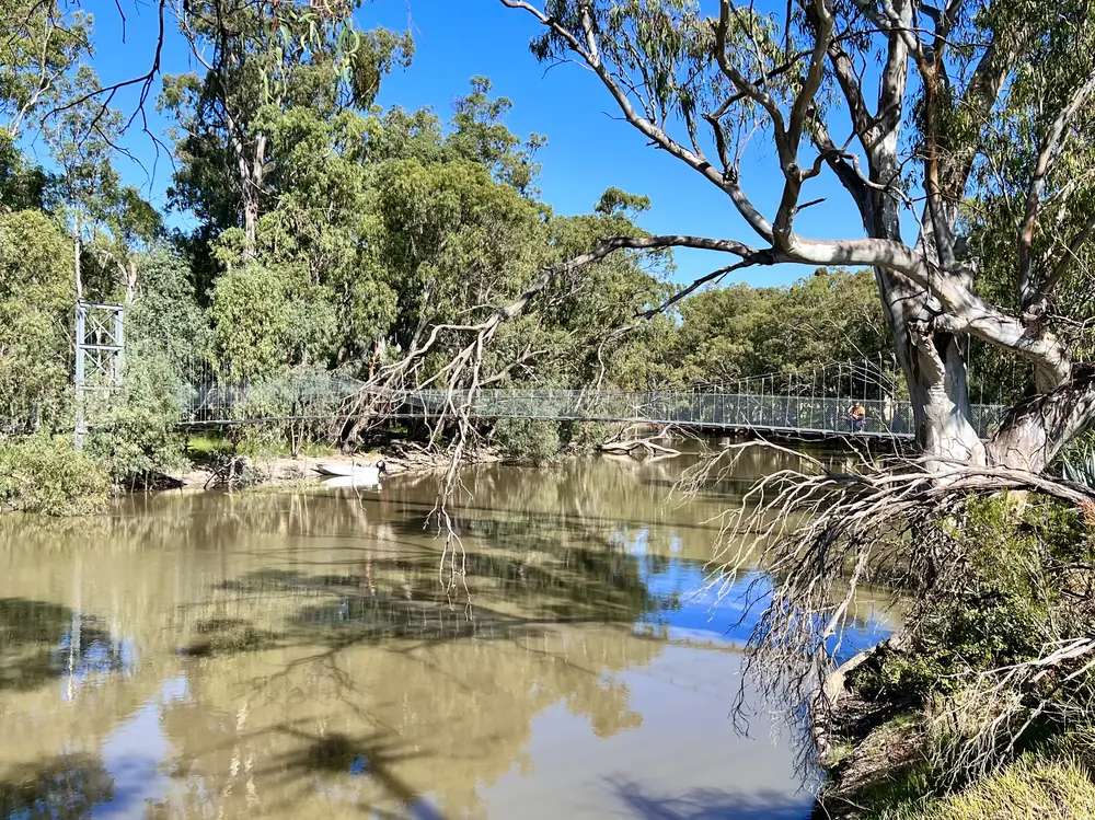
A view of BalranaldPhoto: Kgbo · CC BY-SA 4.0 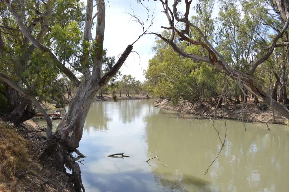
The Murrumbidgee River at BalranaldPhoto: Mattinbgn (talk · contribs) · CC BY 3.0 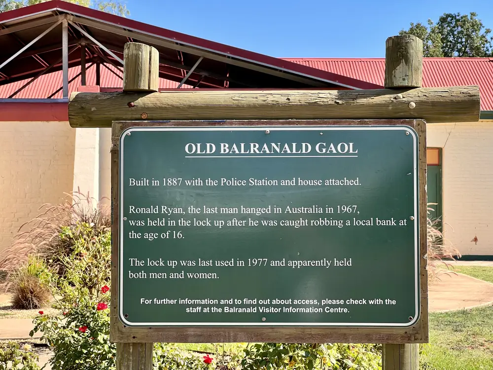
The old Balranald gaolPhoto: Kgbo · CC BY-SA 4.0
Balranald sits on the Murrumbidgee River where the Sturt Highway crosses western New South Wales. Destination NSW files the town under The Murray and calls it a base for Yanga National Park, World Heritage Mungo National Park and a cluster of rivers. On this site it belongs in outback NSW because NSW National Parks names it as the eastern approach to Mungo: follow signs toward Ivanhoe for 53 km, then turn left 3 km after Box Creek Bridge. That is unsealed park country. Check Live Traffic NSW and the Balranald, Wentworth and Central Darling road reports before you leave the bitumen.
The 2021 Census counted 1,063 people in the Balranald urban centre (UCL115005). Median age 49. Sex split 48.9% male / 51.1% female. Use that figure for the town. Suburbs-and-localities SAL10169 counted 1,240. Do not mix the two. Read the ABS QuickStats page for Balranald UCL.
This is a working highway town with a visitor centre, fuel, rooms and a river, not a reconstructed pioneer village. The reason most travellers leave the Sturt is Mungo and Yanga.
Where it is, and how far
Destination NSW puts Balranald on the Sturt Highway and gives drive times, not kilometres, for the capital cities: just under nine hours from Sydney, five hours from Melbourne, six hours from Adelaide. Griffith is three hours. The nearest regional airport named on that page is Mildura, less than two hours. This hub does not invent a Sydney or Hay kilometre that is not on those pages. Hay is the Riverina neighbour to the east on this site; Ivanhoe is the Cobb Highway neighbour to the north.
NSW National Parks is the distance authority for the parks.
| Place | Distance or drive note (sourced) |
|---|---|
| Mungo National Park | 155 km (NPWS Mungo visitor-info nearby-towns box) |
| Ivanhoe Road then park turn | 53 km toward Ivanhoe, then left 3 km after Box Creek Bridge (NPWS Mungo getting-there) |
| Yanga National Park | 6 km (NPWS Yanga visitor-info nearby-towns box) |
| Yanga Homestead drive | Sturt Highway east 7 km, Old Sturt Highway at Yanga rest area, then 2 km (NPWS Yanga getting-there) |
| Mildura | less than two hours (Visit NSW); airport named as nearest regional |
| Griffith | three hours (Visit NSW) |
| Kyalite | 37 km south (Discover Balranald) |
| Redbank Weir | just under 60 km north (Discover Balranald Five Rivers page) |
If a maps app offers a shortcut to Mungo, still check Live Traffic NSW. Closed unsealed roads in this shire are not a suggestion.
Facts at a glance
Population. ABS 2021 Census, Urban Centres and Localities UCL115005: 1,063 people. Median age 49. Families 249. Private dwellings 614. Average household size 2.2. Use the ABS UCL QuickStats. SAL10169 is 1,240 for the wider locality.
Climate. Bureau of Meteorology station BALRANALD (RSL), 049002. Location 34.64°S, 143.56°E, elevation 61 m. Commenced 1879. Status: open. Mean maximum temperature (105 years, 1907–2024): January 33.1 °C, July 15.7 °C, annual 24.3 °C. Mean minimum: January 16.5 °C, July 3.6 °C, annual 10.0 °C. Mean rainfall (146 years, 1879–2026): annual 324.7 mm. Full columns: BOM Balranald (RSL). See Balranald weather.
Visitor information. Balranald Visitor Information Centre, 83 Market Street, 1800 444 043, infocentrestaff@balranald.nsw.gov.au. NSW Government lists cafe, car park, coach parking, interpretive centre, picnic area, public toilet, RV parking, shop, showers and an electric vehicle charging point. Discover Balranald also prints 03 5020 1599.
Traditional Owners
The NSW Yanga parks plan of management (adopted 12 May 2020) places Yanga National Park, Yanga State Conservation Area and Yanga Nature Reserve in the traditional Country of the Wathi Wathi, Daddi Daddi, Mutthi Mutthi and Nari Nari Aboriginal peoples. NSW National Parks’ Mungo page names Ngyiampaa, Mutthi Mutthi and Southern Paakantyi as the people with whom the park is jointly managed. Those are park sentences, not a single label invented for Market Street. Confirm wording for the townsite at 83 Market Street. Read visiting Country respectfully.
History
Visit NSW describes a heritage town on the Murrumbidgee and a Balranald Heritage Trail: a 1.5-hour self-guided walk linking significant points of interest on the river. The same page names the Balranald Gallery in the original Masonic Lodge dating back to 1880.
Yanga Woolshed, built in the 1870s, is named as once the largest woolshed in the district, with displays on pastoral and Aboriginal history and on explorers John Oxley and Charles Sturt. Yanga Historic Homestead is listed with stables, a gardener’s shed and rose gardens. NPWS Yanga copy says people have camped on these river banks since the early explorers, including Burke and Wills. Visit NSW’s stay note puts Mamanga Campground on the Murrumbidgee “as explorers Burke and Wills once done.” That is visitor-guide wording for a named camp, not a reconstructed expedition diary.
Discover Balranald’s Kyalite page records Wakool Crossing (present-day Kyalite) as a punt and inn site, and says Burke and Wills dined at the hotel in September 1860. Kyalite is 37 km south of Balranald on that page, not a main-street attraction.
This hub does not invent a gazettal year for Balranald itself that was not on the sourced visitor pages.
Things to do
Start at 83 Market Street. Visit NSW says pick up the Five Rivers Fishing Trail brochure there.
Balranald Heritage Trail — 1.5-hour self-guided walk on the Murrumbidgee (Visit NSW).
Balranald Gallery — original Masonic Lodge, 1880 (Visit NSW).
Five Rivers — Visit NSW and Discover Balranald name the Murrumbidgee, Lachlan, Wakool, Edward and Murray, all within a half-hour drive on the Visit NSW page. Fishing for Murray cod, yellowbelly, perch or redfin is named there. NSW fisheries rules apply. Discover Balranald names two sealed boat ramps and trailer parking on the Murrumbidgee in town, and Redbank Weir just under 60 km north.
Regatta Beach Picnic Area — Visit NSW: lakeside camping, swimming and paddling under river gums. Confirm which lake and current access at the VIC; the brochure is the map, not this page.
Yanga National Park — about 6 km. Yanga Lake walking track; Visit NSW quotes 150 bird species including egrets, herons, spoonbills and sea eagles. Homestead precinct, woolshed, Mamanga Campground. NPWS: homestead precinct 8.30 am–4.30 pm; office 03 5021 8988. Unsealed roads, dry weather.
Mungo National Park — 155 km. Walls of China, Willandra Lakes World Heritage Area, Mungo Visitor Centre in the park. Unsealed. No fuel in the park; NPWS says the closest fuel is about 110 km away at Buronga or Mildura. Fill in Balranald. See things to do in Balranald.
Outback Geo Adventures are named by Visit NSW for guided Yanga and Mungo tours. Book; do not arrive at a closed gate and expect a walk-in.
Where to stay
Destination NSW’s Balranald accommodation list names, among others in this town and shire:
- Balranald Caravan Park — Murrumbidgee, cabins and grassed powered and unpowered sites
- Balranald Club Motel — centre of town
- Mamanga campground — Yanga National Park, Murrumbidgee
- The Willows campground — Yanga State Conservation Area
- Rosenhoe — station stay, 65 km north on that listing
- Kyalite Pub and Caravan Park — 37 km south on Discover Balranald
Balranald Shire Council’s business directory also names Colony Inn Motel, 140 Market Street, 03 5020 1302. Those are official named types, not a ranked inventory and not a price list.
- How to choose: Balranald accommodation
- Camping detail: Balranald caravan parks
- Operator enquiries: feature your business
If Balranald is full, Hay is the next large Riverina town east on this site and Mildura is the regional city Visit NSW names for the airport. That is geography, not a booking guarantee.
Caravan and camping
Vans use Balranald because the Sturt is sealed, the river park is in town, and Yanga and Mungo are the day trips. Official named camps are the town caravan park, Mamanga and The Willows in the Yanga parks, and Kyalite’s park to the south. Ask the VIC for stay limits, dump points and whether park roads are open. Read Balranald caravan parks and outback camping.
Mungo camping is a park booking, not a Balranald overflow. After rain, the constraint is the unsealed park roads, not the Sturt Highway mean.
Fuel and services
A town of 1,063 people on the Sturt Highway is a full-service stop compared with Ivanhoe or a Mungo camp. This guide does not list bowser brands or 24-hour claims. Fill here before Mungo: NPWS says there is no food or petrol/diesel at or near the park, with the closest fuel about 110 km at Buronga or Mildura. NSW Government’s VIC listing includes an electric vehicle charging point at 83 Market Street. Carry water. January’s mean maximum at Balranald (RSL) is 33.1 °C.
Council: 70 Market Street, 03 5020 1300, council@balranald.nsw.gov.au. After-hours roads/town 0417 151 798 on the council contact page used here.
Road access
The Sturt Highway is the sealed east–west spine through town, Sydney–Adelaide freight in ordinary weather. The Ivanhoe Road is the Mungo turn named by NPWS — 53 km of that road, then the park access. Unsealed park and shire roads close after rain. Check Live Traffic NSW and Balranald Shire, Wentworth Shire and Central Darling Shire road reports. Do not drive around closed signs to keep a Walls of China photograph.
East: Hay on the Murrumbidgee and the Hay Plains. North: Ivanhoe on the Cobb Highway. West: Mildura and the Murray. Further north-west on a different road: Menindee and Kinchega. The outback NSW road trip puts Mungo on the western loop from Mildura or Balranald.
Nearby parks and towns
Parks:
- Mungo National Park — 155 km, Willandra Lakes World Heritage Area
- Yanga National Park — 6 km, Murrumbidgee wetlands and homestead (no standalone park guide on this site yet; use NPWS)
- Kinchega National Park — beside Menindee, not a Balranald suburb
Towns on this site:
- Hay — Riverina neighbour east on the Sturt
- Ivanhoe — Cobb Highway, north
- Mildura — nearest regional airport on Visit NSW
- Menindee — lakes and Kinchega; another Mungo approach
- Broken Hill — further west on the far-west highway network
When to go, and how long
January’s mean maximum of 33.1 °C is hot for a Heritage Trail walk at midday and hotter still on Mungo’s lunette. NPWS Mungo visitor-info warns summer temperatures can reach 50 °C in some outback places. July’s 15.7 °C mean maximum is the comfortable walking season; July’s 3.6 °C mean minimum is why a river camp needs a layer. Annual rainfall 324.7 mm is dry country with a long record that still includes flood years on the Lowbidgee. See Balranald weather.
One night covers the Heritage Trail, Yanga homestead and a river camp if the VIC has confirmed a site. Two nights if you are adding Mungo and the unsealed road is open. Three only if you are waiting out a closure or adding Kyalite and the Five Rivers trail. There is no sourced capital-city kilometre on the pages used here; use the Visit NSW drive times and Live Traffic NSW.
Operators who want a checked listing: feature your business. The listings slot on this hub stays empty until then.
Plan this trip
Tell us the dates, who you are travelling with and where you need help. We reply with planning notes for Balranald — we are not a booking agent.
Events and road-conditions newsletter
Occasional notes on outback festivals, race days and official road-condition sources — not a daily blast. We use these details only to send the newsletter.
New South Wales · Outback NSW
Balranald accommodation
Where to stay in Balranald: motels and the Murrumbidgee caravan park named by Visit NSW, plus Yanga campgrounds. Confirm at the Balranald Visitor Information Centre.
Read · 3 min
New South Wales · Outback NSW
Balranald caravan parks
Camping in Balranald: Murrumbidgee caravan park and Yanga campgrounds as named by Visit NSW and NPWS. Confirm at the visitor centre and Live Traffic NSW.
Read · 4 min
New South Wales · Outback NSW
Balranald weather
Balranald climate from BOM Balranald (RSL) (049002): January mean max 33.1 °C, July 15.7 °C, annual rainfall 324.7 mm. Open station; use Live Traffic NSW for park roads.
Read · 4 min
New South Wales · Outback NSW
Things to do in Balranald
Things to do in Balranald: Heritage Trail and 1880 gallery, Five Rivers fishing, Yanga National Park homestead and woolshed, and the eastern drive to Mungo.
Read · 5 min
Frequently asked questions
How far is Balranald from Mungo National Park?
NSW National Parks’ Mungo visitor-info page lists Balranald at 155 km. The same page’s driving notes say follow signs to Ivanhoe for 53 km, then turn left 3 km after Box Creek Bridge. Roads are unsealed and close after rain.
What is Balranald’s population?
1,063 people at the 2021 Census for the Balranald urban centre (UCL115005). Median age 49. The larger suburb/locality figure is 1,240 (SAL10169). Use the UCL for the town.
How far is Yanga National Park?
NSW National Parks’ Yanga visitor-info page lists Balranald at 6 km. Getting-there notes say take the Sturt Highway east for 7 km, turn south onto Old Sturt Highway at Yanga rest area, then 2 km to the park office and homestead.
What is the weather like in Balranald?
BOM Balranald (RSL) (049002, open): January mean maximum 33.1 °C, July 15.7 °C, annual rainfall 324.7 mm (146 years, 1879–2026).
Whose Country is Balranald on?
The NSW Yanga parks plan of management places those parks in the traditional Country of the Wathi Wathi, Daddi Daddi, Mutthi Mutthi and Nari Nari peoples. Mungo National Park is jointly managed with the Ngyiampaa, Mutthi Mutthi and Southern Paakantyi people. Confirm a single-nation sentence for the Balranald townsite at the visitor centre.
Where is the visitor centre?
NSW Government lists the Balranald Visitor Information Centre at 83 Market Street, Balranald NSW 2715, phone 1800 444 043, email infocentrestaff@balranald.nsw.gov.au. Discover Balranald also prints 03 5020 1599.
Sources and further reading
Facts on this page were checked against these primary and official sources. Conditions change — confirm before you travel or buy.
- Balranald 2021 Census QuickStats (UCL115005) — Australian Bureau of Statistics
- Balranald 2021 Census QuickStats (SAL10169) — Australian Bureau of Statistics
- Climate statistics for Balranald (RSL) (049002) — Bureau of Meteorology
- Balranald — Destination NSW
- Balranald Visitor Information Centre — NSW Government
- Discover Balranald — Balranald Shire Council
- The 5 Rivers — Balranald Shire Council
- Mungo National Park visitor info — NSW National Parks and Wildlife Service
- Yanga National Park visitor info — NSW National Parks and Wildlife Service
- Yanga parks plan of management — NSW Department of Planning, Industry and Environment
- Live Traffic NSW — Transport for NSW