At a glance
Sourced facts only. Distances and services change — confirm before you travel.
- Population
- 162 people (UCL122068, 2021 Census)
- Local government
- Central Darling Shire
- Traditional Owners
- Not a single nation on the current Visit Ivanhoe pageFar-west planning material for Central Darling names Barkindji, Ngiyampaa and Wongaibon among others. Confirm a townsite sentence with council (08) 8083 8900.
- Nearest regional city
- Central Darling Shire does not publish kilometre figures on the Visit Ivanhoe page used here. Treat Ivanhoe as the Cobb Highway overnight between Hay and Wilcannia.
- Nearest fuel
- Central Darling’s Visit Ivanhoe page lists a servo / caravan park. Confirm they are open before you rely on them.
- Nearest hospital or clinic
- Council’s Visit Ivanhoe page lists a health service among contacts. Confirm with NSW Health. Do not invent a hospital name.
- Mobile coverage
- Check Telstra and Optus coverage maps before travel; do not assume a signal on surrounding roads.
- Best time to visit
- April to October on this hub. Cooler BOM Ivanhoe Post Office mean maxima May–September (closed 2016 table); January mean maximum 34.9 °C.
Climate
Monthly means from the Bureau of Meteorology station Ivanhoe Post Office (049019). This is not a forecast. Closed 1 February 2016. Commenced 1884. Elevation 85 m. Mean maxima 68 years (1939–2012); minima 67 years; rainfall 125 years (1884–2016). The table remains the official climate averages page for the town.
| Month | Mean max (°C) | Mean min (°C) | Rainfall (mm) |
|---|---|---|---|
| Jan | 34.9 | 18.1 | 29.9 |
| Feb | 34.0 | 17.9 | 28.4 |
| Mar | 30.8 | 14.7 | 29.5 |
| Apr | 25.7 | 10.3 | 19.5 |
| May | 20.4 | 6.8 | 26.9 |
| Jun | 17.1 | 4.4 | 26.8 |
| Jul | 16.5 | 3.6 | 23.0 |
| Aug | 18.7 | 4.7 | 23.5 |
| Sep | 22.6 | 7.2 | 21.9 |
| Oct | 26.4 | 10.5 | 28.1 |
| Nov | 30.0 | 13.8 | 24.0 |
| Dec | 33.3 | 16.3 | 25.8 |
Ivanhoe in pictures
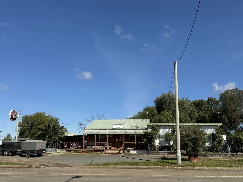
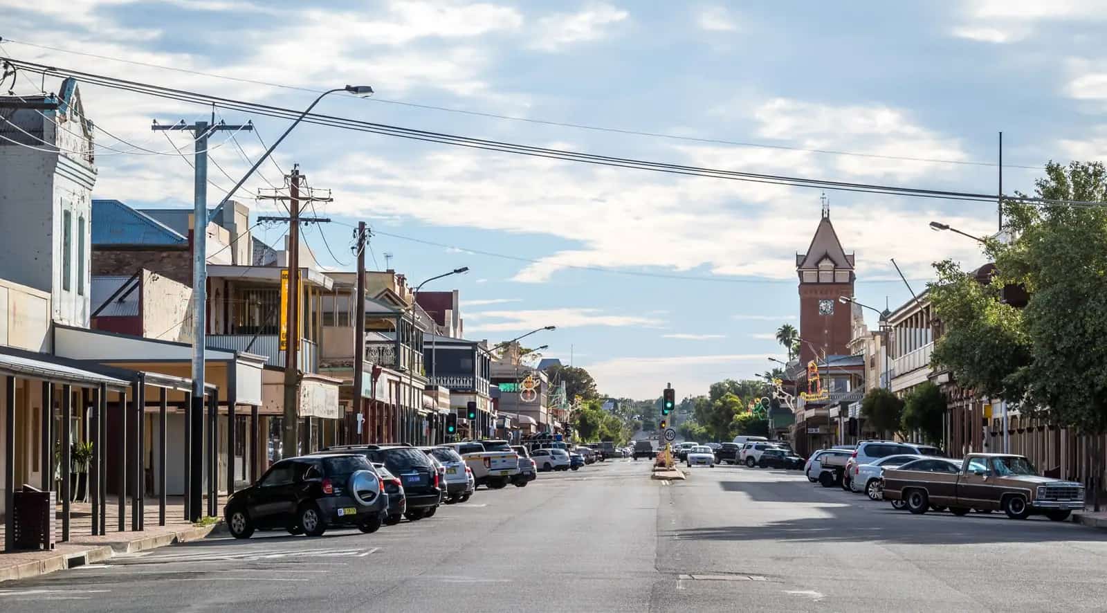
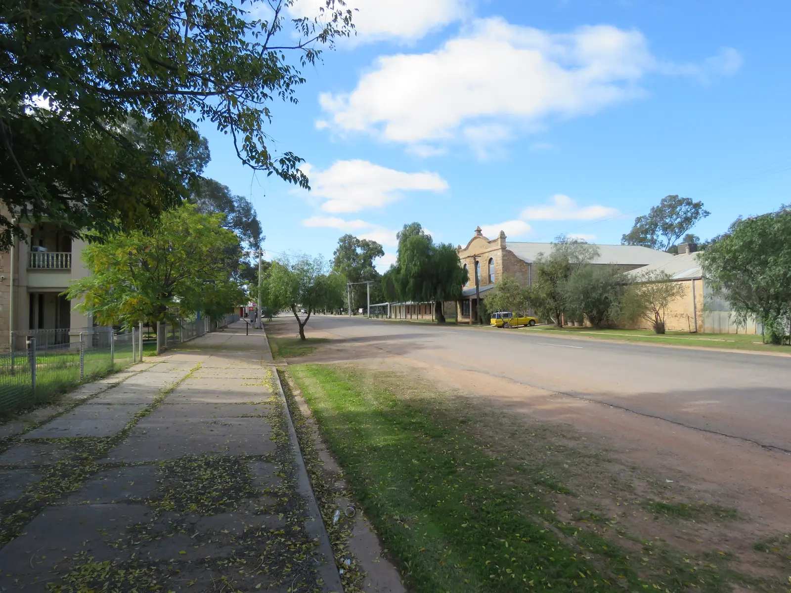
The Ivanhoe HotelPhoto: Mattinbgn · CC BY-SA 4.0 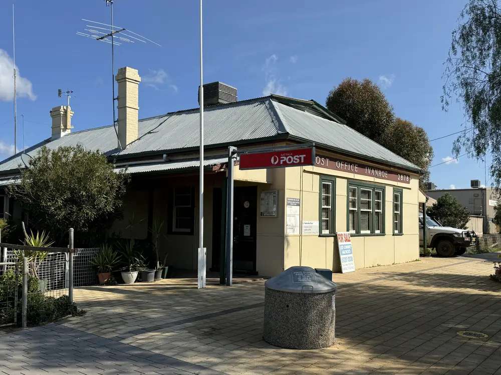
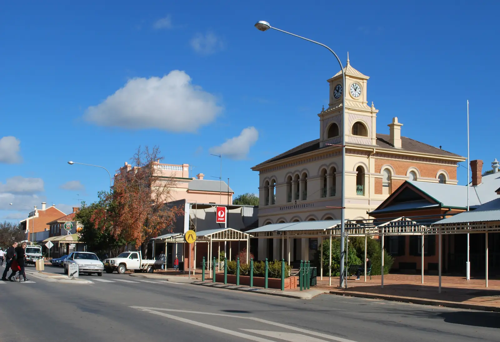
Ivanhoe's post officePhoto: Mattinbgn · CC BY-SA 4.0 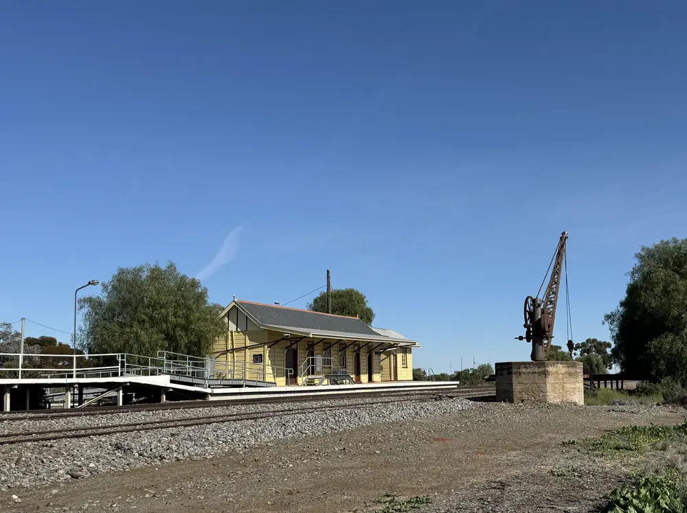
Ivanhoe's railway stationPhoto: Mattinbgn · CC BY-SA 4.0 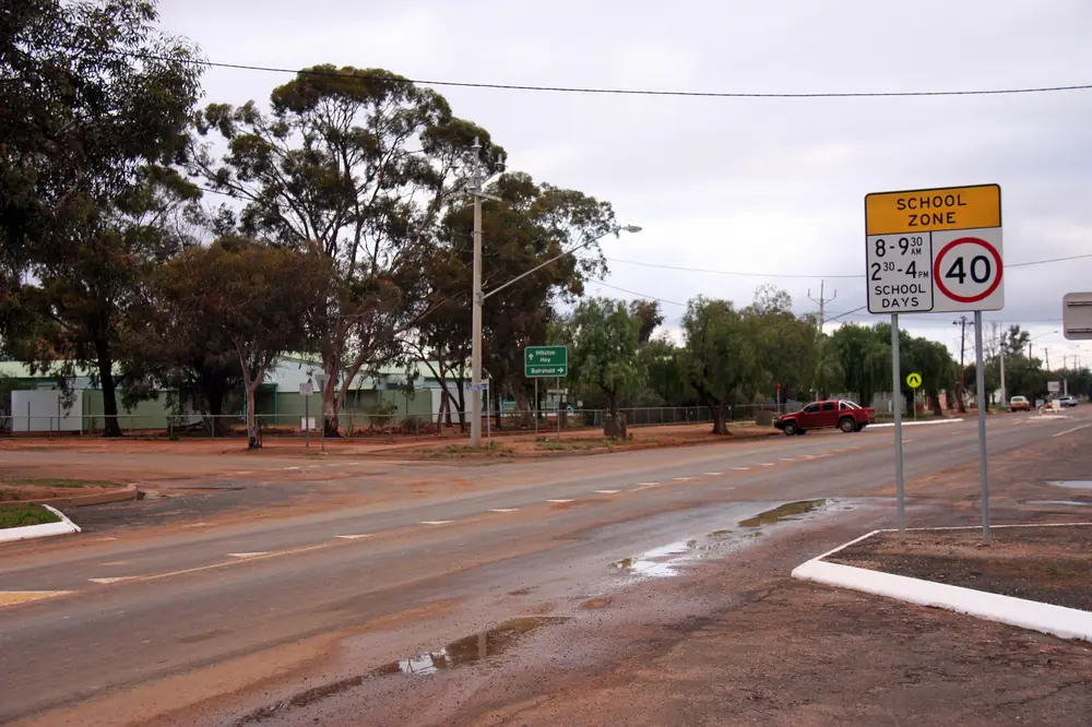
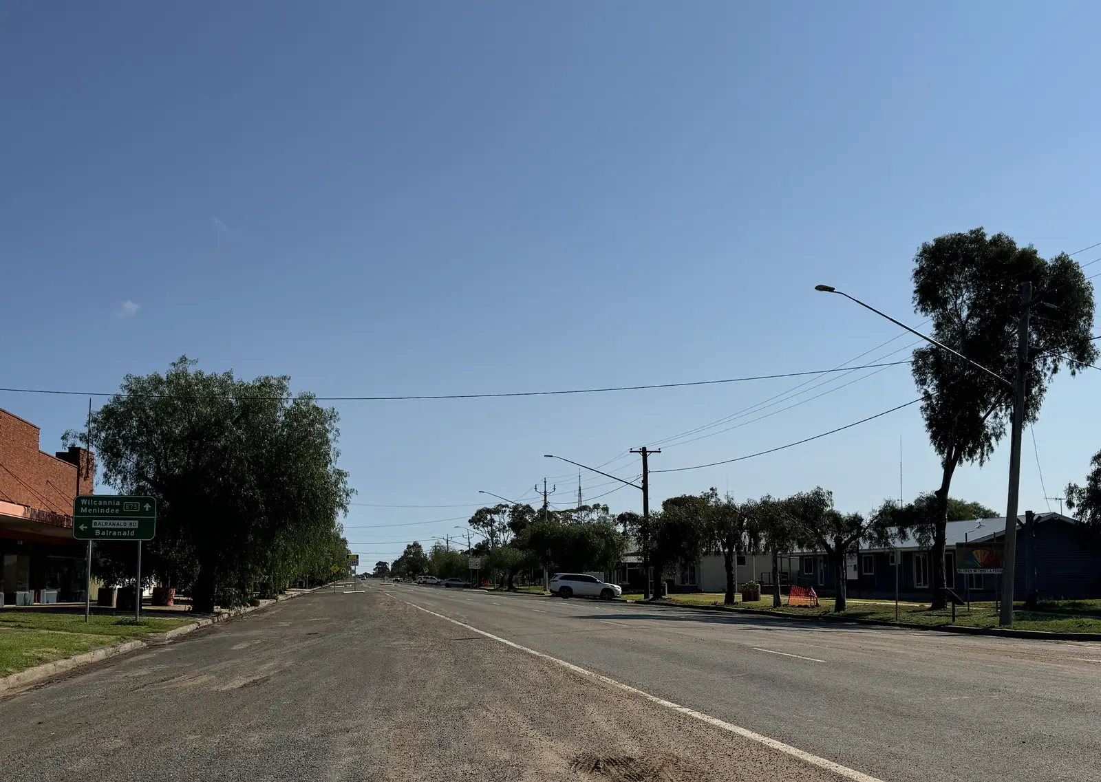
Cobb Highway in IvanhoePhoto: Tim Keegan · CC BY-SA 2.0
Ivanhoe sits on the Cobb Highway in western New South Wales, in Central Darling Shire, between the Lachlan country to the south-east and the Darling country to the north-west. Council’s visitor page describes a long, practical history: a staging point for coach travel, then the railways, now road transport, and “a great place to stop on your inland tour.” On this site it belongs in outback NSW. Neighbouring towns with guides are Wilcannia, Hay and Menindee.
The 2021 Census counted 162 people in the Ivanhoe urban centre (UCL122068, listed as Ivanhoe (L)). Use that figure for the town. The suburbs-and-localities geography (SAL12000) counted 261. Do not mix the two. Read the ABS QuickStats page for Ivanhoe UCL.
This is not a city and it is not a made-up oasis. It is a highway town where fuel, a meal and a bed matter because the next full-service stop is another shire.
Where it is, and how far
The Cobb Highway is the north–south inland route that Hay’s guide already describes as running toward Ivanhoe and Wilcannia, and as part of the Long Paddock touring story along an old stock route. Central Darling Shire does not publish kilometre figures on the Visit Ivanhoe page used here. This guide therefore does not invent distances to Hay, Wilcannia, Menindee or Sydney.
Treat Ivanhoe as the Cobb Highway overnight between the Hay Plains and the Darling. Side roads toward Menindee are a different proposition: unsealed country that closes after rain. Check Live Traffic NSW rather than a remembered “it was fine last year.”
| Place | Official note |
|---|---|
| Cobb Highway | North–south inland route through Ivanhoe (council + Hay / Long Paddock material on this site) |
| Hay | Riverina neighbour on this site, south along the Cobb Highway |
| Wilcannia | Darling River neighbour on this site, north along the Cobb Highway |
| Menindee | Neighbour on this site, reached by a different road; confirm surface and closures |
| Central Darling administration | Council postal address is Wilcannia; phone 08 8083 8900 |
If a maps app offers a shortcut, still check Live Traffic NSW. Closed signs on the far west are not a suggestion.
Facts at a glance
Population. Australian Bureau of Statistics 2021 Census, Urban Centres and Localities UCL122068: 162 people. Median age 43. Sex split 51.2% male / 48.8% female. Families 33. Private dwellings 102. Average household size 2. Note on the SAL page: small-area medians can be affected by confidentiality. Use the ABS UCL QuickStats.
Climate. Bureau of Meteorology station Ivanhoe Post Office (049019). Location 32.90°S, 144.30°E, elevation 85 m. Commenced 1884. Closed 1 February 2016. The table remains the official climate averages page for the town. Annual mean rainfall 306.0 mm over 125 years (1884–2016). Hottest month by mean maximum: January 34.9 °C. Coolest month by mean maximum: July 16.5 °C. Full columns sit on the BOM Ivanhoe Post Office table and on Ivanhoe weather. Forecasts after 2016 still come from the Bureau; this closed gauge is the climate story, not tomorrow’s temperature.
Services named by council. Central Darling’s Visit Ivanhoe page lists, among others: the Ivanhoe Hotel Motel; Ivanhoe Council Office / Multi Service Outlet; Ivanhoe Food Freight Supplies; Ivanhoe RSL Club; Ivanhoe Servo, Caravan Park and Wendy's Palace Inn Motel (mobile number published on that page); post office; health service; central school; police; and a market. Those names belong on the council page, which can change. This hub does not rank them or quote prices.
Traditional Owners
Far-west planning material for Central Darling names several nations with connection to this land, including Barkindji, Ngiyampaa and Wongaibon among others. The shire’s current Visit Ivanhoe page does not publish a single-nation sentence for the townsite. This guide therefore does not flatten Ivanhoe to one label. Confirm wording with Central Darling Shire (08 8083 8900) before a plaque or school project. Read visiting Country respectfully.
History
Council’s visitor sentence is the history this hub will repeat: Ivanhoe started as a staging point for coach travel, then served the railways, and now serves road transport. That is the Cobb Highway story in one line — coaches, then the line west, then the truck. This guide does not invent a gazettal year, a hotel founding date or a bushranger list that is not on the sourced council page.
Hay’s guide on this site already places Ivanhoe on the Long Paddock / Cobb Highway stock-route touring story. Interpretive signs along that route are a Hay-and-highway subject; ask locally which panels still stand in Ivanhoe rather than copying an old brochure.
The railway still matters as geography: the town is a service point on the inland corridor. Current passenger timetables are an operator question, not a fact this page will guess.
Things to do
Start with fuel, water and a conversation at a desk council names — the multi-service outlet, the servo, or the hotel motel — because a town of 162 people does not run a large accredited visitor centre on the pages used here.
Then:
- Walk the main street. Council’s tourism pages do not publish an attraction inventory beyond the stop-on-your-inland-tour sentence. Do not invent a heritage-trail length that is not on the current Visit Ivanhoe page.
- Use Ivanhoe as the Cobb Highway pause between Hay and Wilcannia.
- Treat Menindee as a separate road with a rain rule, not a marked city boulevard.
A fuller practical list is on things to do in Ivanhoe.
Where to stay
Council names a hotel motel, a servo / caravan park and Wendy's Palace Inn Motel, plus the RSL Club as a local contact. This hub does not rank those rooms or quote rates.
- Confirm vacancies on the Visit Ivanhoe numbers.
- How to choose a type of stay: Ivanhoe accommodation
- Parks and camping: Ivanhoe caravan parks
- Operator enquiries: feature your business
If Ivanhoe is full, Hay and Wilcannia are the neighbouring towns with more beds on this site. That is a geography fact, not a booking guarantee. Carry a plan for arriving in daylight.
Caravan and camping
Vans use Ivanhoe because the Cobb Highway is the inland north–south spine and because council names a caravan park at the servo. Town camping is a highway overnight, not a holiday park with a water park. Ask about powered sites, dump points, pets and stay limits when you arrive or phone ahead. Read Ivanhoe caravan parks. After rain, the constraint is the highway and any unsealed side road, not the annual rainfall mean. Live Traffic NSW first.
Fuel and services
Assume limited hours. Council lists a servo, food freight supplies, a post office, a health service and police. This guide does not list bowser brands or 24-hour claims. Fill up when you can. The next town is another shire. Carry water. January’s mean maximum on the closed post-office record is 34.9 °C.
Council administration phone 08 8083 8900 (Wilcannia postal address). Engineering 08 8083 8800.
Road access
The Cobb Highway is the reason Ivanhoe is on a touring map. In ordinary weather it is the sealed inland run between the Murray country and the Barrier / Darling towns. It is a freight road. After flood or storm, check Live Traffic NSW. Do not drive around closed signs to keep a camping booking.
South: Hay on the Murrumbidgee and the Hay Plains. North: Wilcannia on the Darling. West toward Menindee: confirm the surface. The outback NSW road trip and droving and stock routes pages put this corridor in a longer story.
Nearby parks and towns
There is no national park inside Ivanhoe on the council visitor page used here. Kinchega near Menindee and other far-west parks are neighbour-town stories. Do not treat them as Ivanhoe day trips unless you have checked roads.
Towns on this site:
When to go, and how long
January’s mean maximum of 34.9 °C is hot for a midday street walk. July’s 16.5 °C mean maximum is the comfortable highway season. Annual rainfall 306.0 mm is dry country with a long record that still includes flood years on the plains. See Ivanhoe weather.
One night is the honest stop. Two nights only if you are waiting out a road closure or meeting a work crew. There is no sourced festival calendar on the current Visit Ivanhoe page; council lists a market among contacts — ask locally.
Operators who want a checked listing: feature your business. The listings slot stays empty until then.
Plan this trip
Tell us the dates, who you are travelling with and where you need help. We reply with planning notes for Ivanhoe — we are not a booking agent.
Events and road-conditions newsletter
Occasional notes on outback festivals, race days and official road-condition sources — not a daily blast. We use these details only to send the newsletter.
New South Wales · Outback NSW
Ivanhoe accommodation
Where to stay in Ivanhoe: hotel motel, caravan park and motel rooms named on Central Darling Shire’s Visit Ivanhoe page. Confirm they are open — we do not rank them.
Read · 3 min
New South Wales · Outback NSW
Ivanhoe caravan parks
Caravan parks and camping in Ivanhoe: the servo caravan park named by Central Darling Shire, highway timing, and why unsealed side roads are not a bush-camp plan after rain.
Read · 3 min
New South Wales · Outback NSW
Ivanhoe weather
Ivanhoe climate from Bureau of Meteorology Ivanhoe Post Office (049019, closed 2016): January mean maximum 34.9 °C, July 16.5 °C, annual rainfall 306.0 mm over 125 years. Full monthly table.
Read · 4 min
New South Wales · Outback NSW
Things to do in Ivanhoe
Things to do in Ivanhoe: a Cobb Highway staging town named by Central Darling Shire, with fuel, a meal and a walk — not an invented attraction list.
Read · 4 min
Frequently asked questions
Where is Ivanhoe?
On the Cobb Highway in western New South Wales, in Central Darling Shire. Council describes it as a staging point that moved from coach travel through the railways to road transport. Neighbouring towns on this site are Wilcannia, Hay and Menindee.
What is Ivanhoe’s population?
162 people at the 2021 Census for the Ivanhoe urban centre (UCL122068). Median age 43. The larger suburb/locality figure is 261 (SAL12000). Use the UCL for the town.
How dry is it?
Bureau of Meteorology means for Ivanhoe Post Office (049019, closed 2016) show annual mean rainfall of 306.0 mm over 125 years, a January mean maximum of 34.9 °C and a July mean maximum of 16.5 °C.
Do I need a 4WD?
Not for the Cobb Highway in ordinary sealed conditions. Unsealed roads toward Menindee and other side tracks close after rain. Check Live Traffic NSW. This guide does not invent a remaining-dirt kilometre count.
Whose Country is Ivanhoe on?
Central Darling Shire sits across several nations named in far-west planning material, including Barkindji, Ngiyampaa and Wongaibon among others. Confirm a single-nation sentence for the townsite with council before publishing one.
Where do I confirm stays and fuel?
Central Darling Shire’s Visit Ivanhoe page lists the hotel motel, servo and caravan park, RSL club, council multi-service outlet and other local numbers. Confirm they are open before you rely on them.
Sources and further reading
Facts on this page were checked against these primary and official sources. Conditions change — confirm before you travel or buy.
- Ivanhoe (L) 2021 Census QuickStats (UCL122068) — Australian Bureau of Statistics
- Ivanhoe (NSW) 2021 Census QuickStats (SAL12000) — Australian Bureau of Statistics
- Climate statistics for Ivanhoe Post Office (049019) — Bureau of Meteorology
- Visit Ivanhoe — Central Darling Shire Council
- Tourism — Central Darling Shire Council
- Live Traffic NSW — Transport for NSW