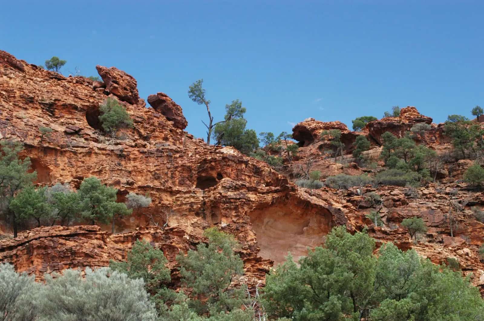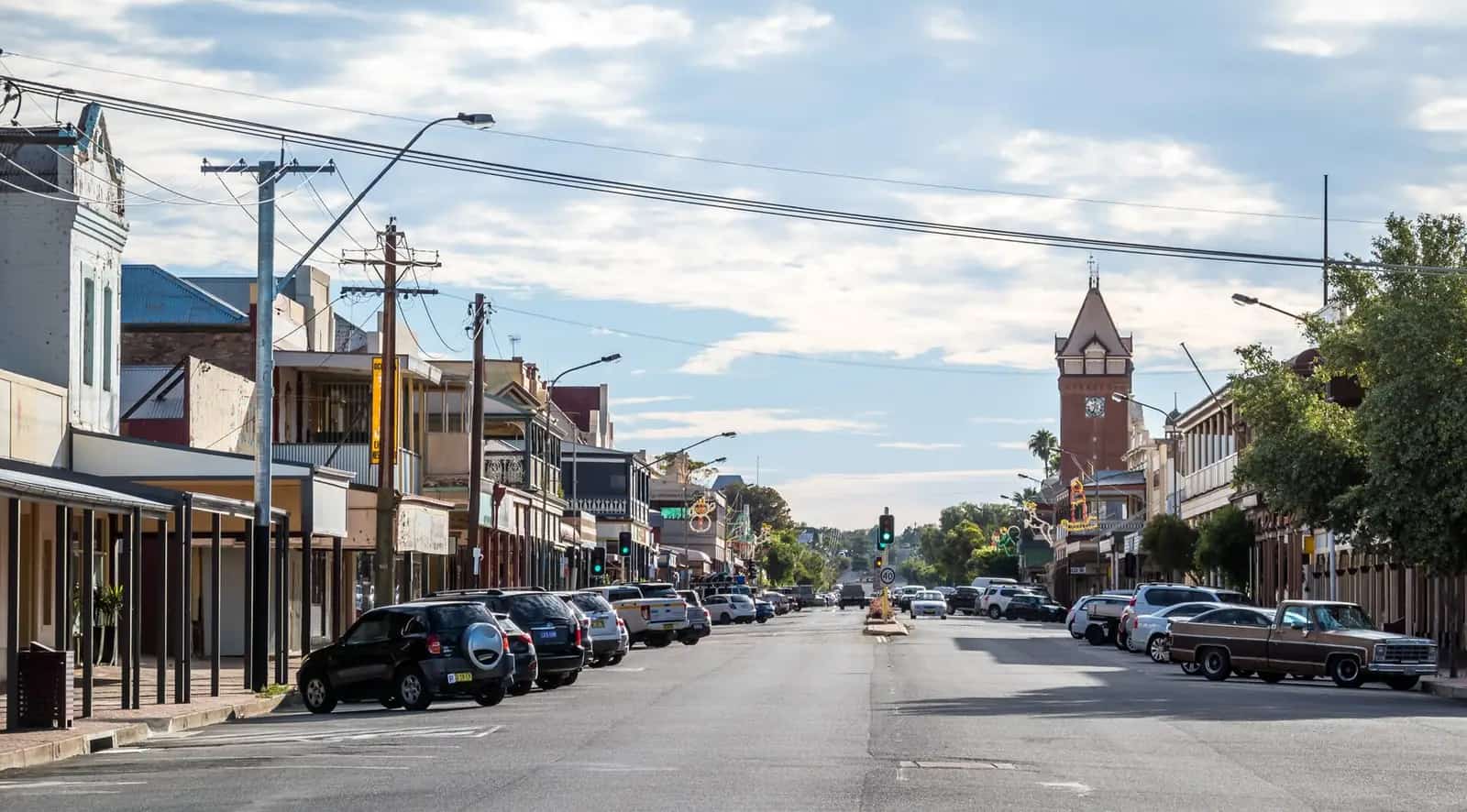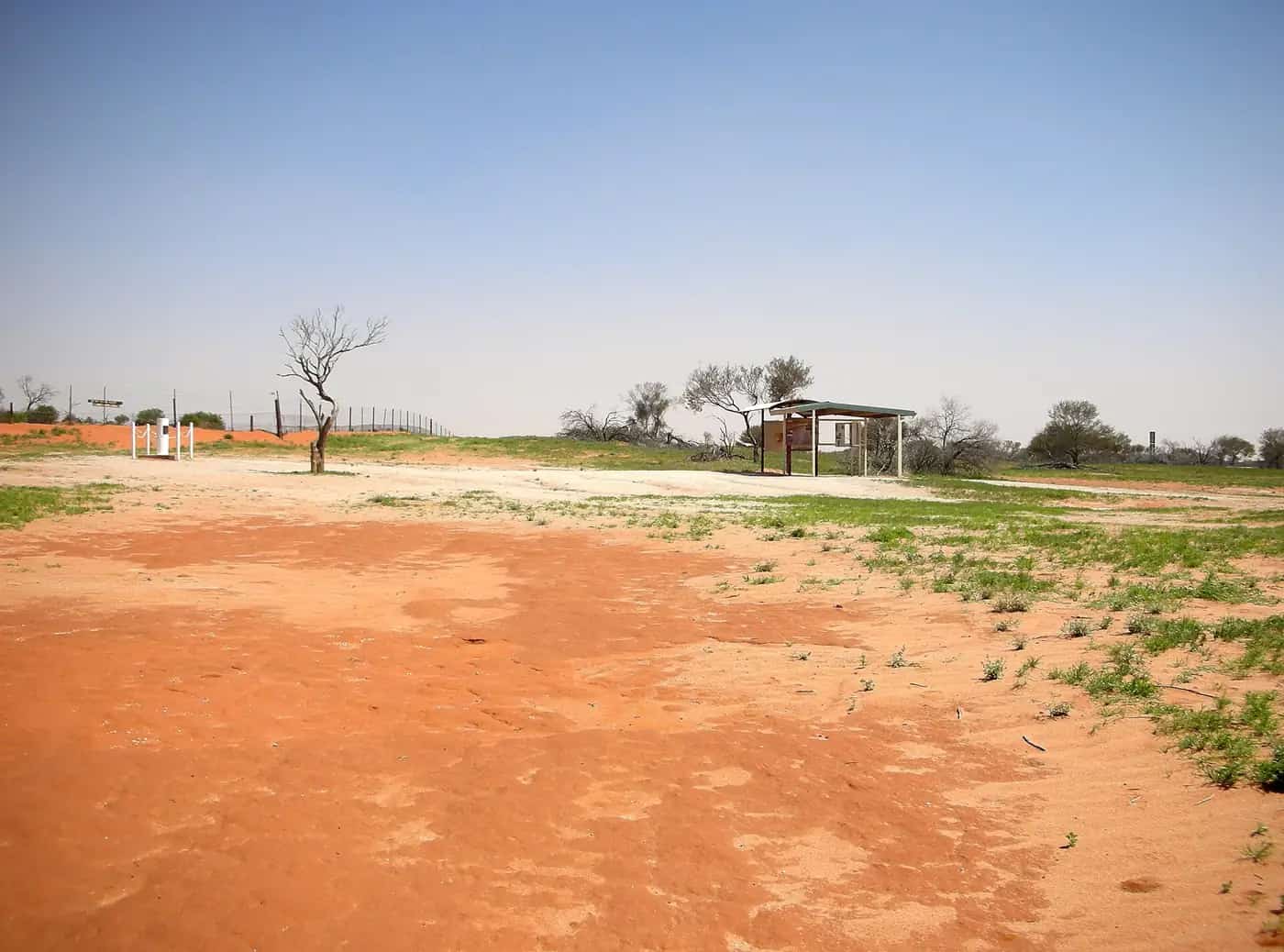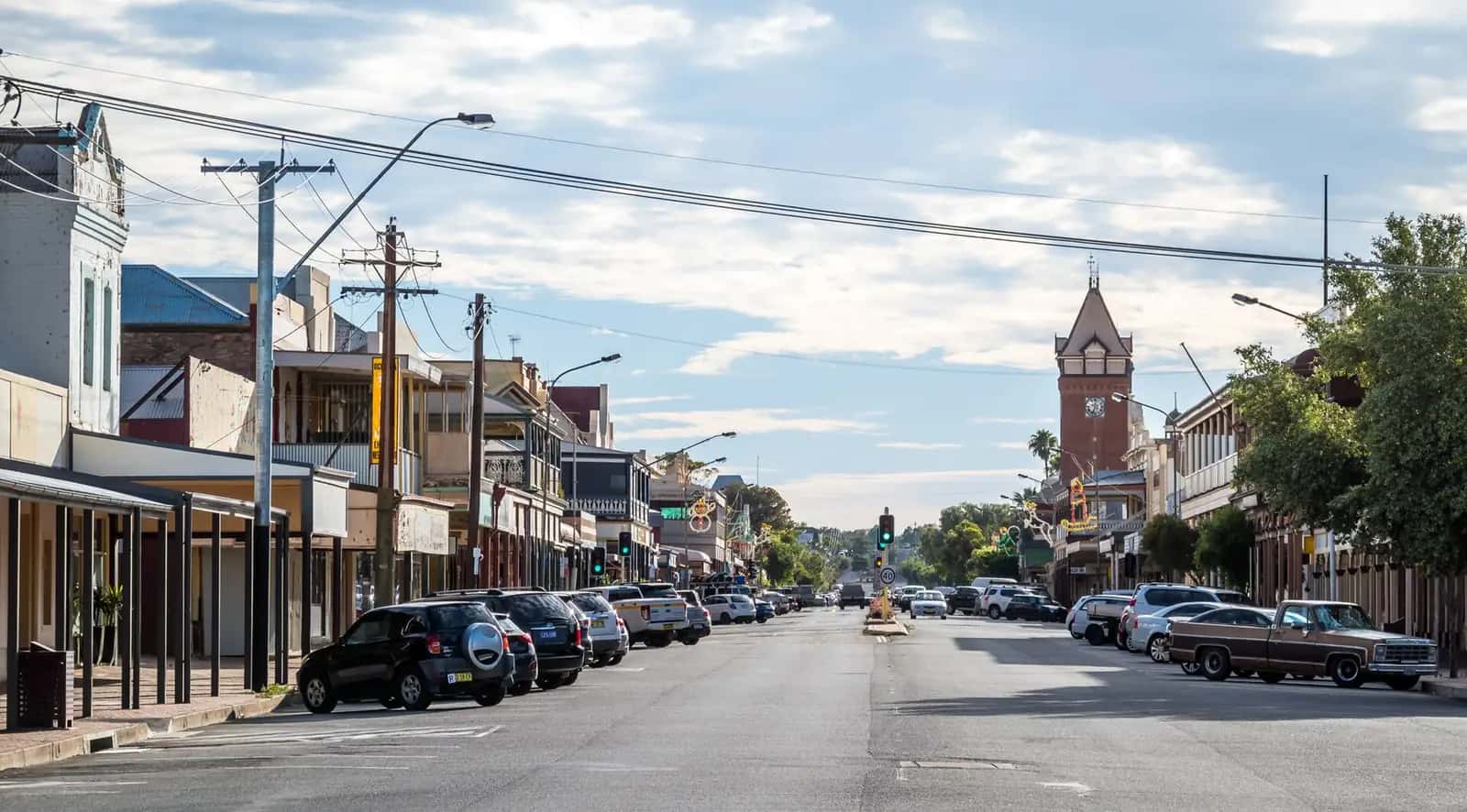
Destination NSW describes Outback NSW as ancient landscapes, paddle-steamer towns, national parks and Aboriginal culture reached on long sealed highways. On this site it is the western and north-western band of New South Wales: red plains and mulga, the Darling River (Baaka), opal fields, mining cities and the Corner Country. The Australian Bureau of Statistics does not draw an “outback” line, but its Remote and Very Remote categories cover most of this country. See where is the outback?.
Getting there
From Sydney the Mitchell Highway runs through Dubbo to Nyngan and on to Bourke. At Nyngan the Barrier Highway turns west through Cobar and Wilcannia to Broken Hill. The Castlereagh Highway leads north to Walgett and Lightning Ridge. The Kidman Way links Cobar with Bourke, and the Silver City Highway runs north from Broken Hill toward Tibooburra.
NSW TrainLink’s Outback Xplorer and the Indian Pacific serve Broken Hill. Regional airports at Broken Hill, Bourke and Cobar take the sting out of the drive. Unsealed park and shire roads close after rain; check Live Traffic NSW and the relevant council before you leave the highway. See fuel, permits and road conditions and outback road rules.
Towns of outback NSW
- Bourke — “back o’ Bourke” on the Darling, with the Back O’ Bourke Exhibition Centre and river history.
- Broken Hill — the Silver City, in 2015 the first Australian city added to the National Heritage List.
- Lightning Ridge — black opal, artesian bore baths and the colour-coded Car Door Tours.
- White Cliffs — Australia’s first commercial opal field, with underground dugout homes.
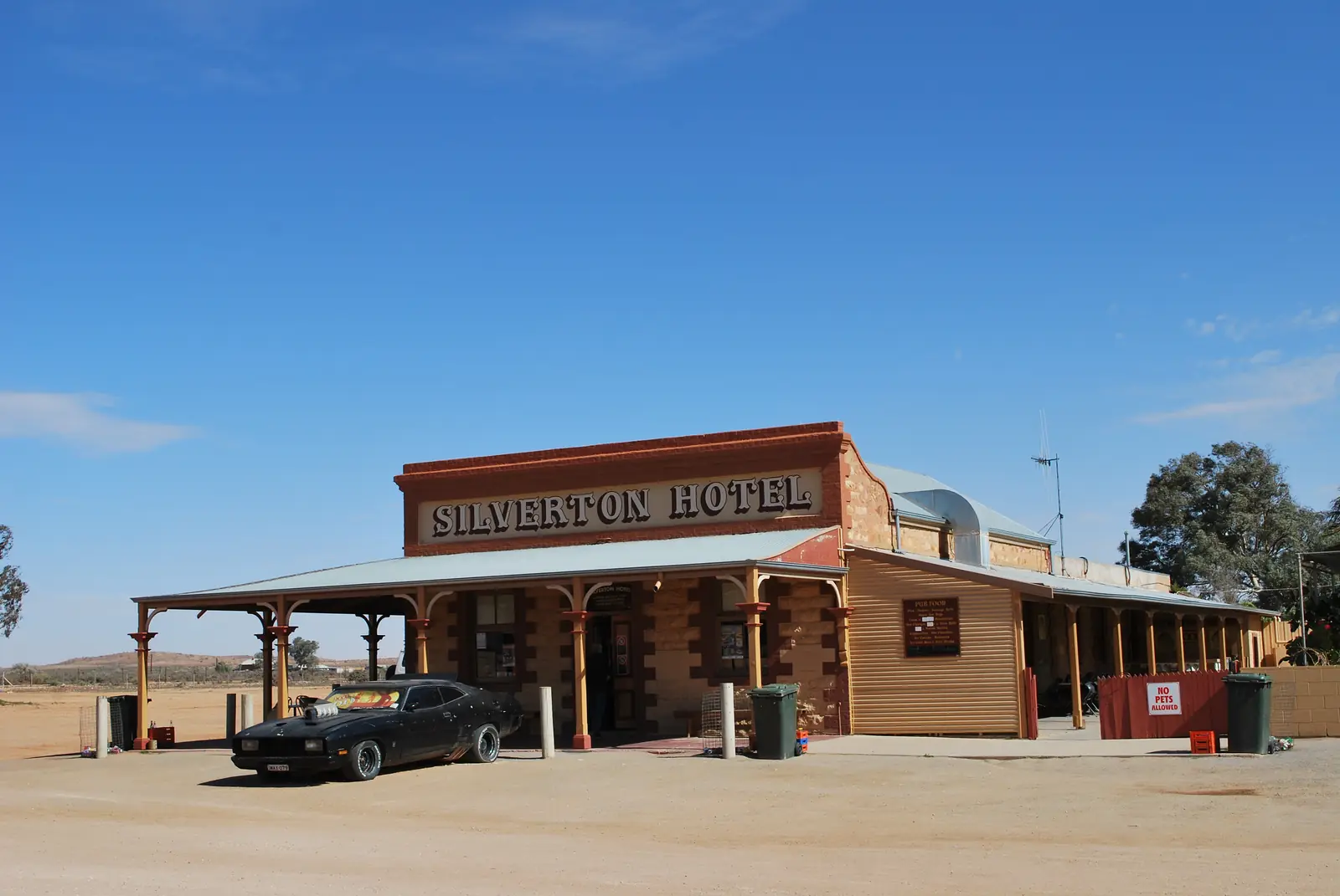
- Silverton — the near-ghost town 25 km from Broken Hill, used as a film set and lookout over the Mundi Mundi Plains.
- Cobar — copper country at the Barrier Highway and Kidman Way junction, with Mount Grenfell Historic Site nearby.
- Nyngan — Mitchell and Barrier highway junction on the Bogan River; 1,761 people at the 2021 Census (ABS Urban Centre and Locality).
- Ivanhoe — Cobb Highway service town between Hay and Wilcannia.
- Balranald — Sturt Highway town on the Murrumbidgee; eastern approach to Mungo.
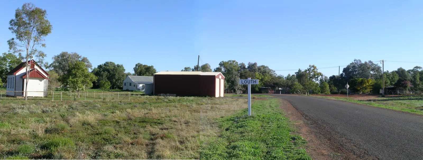
- Louth — tiny Darling River Run village downstream of Bourke; Shindy’s Inn and August races.
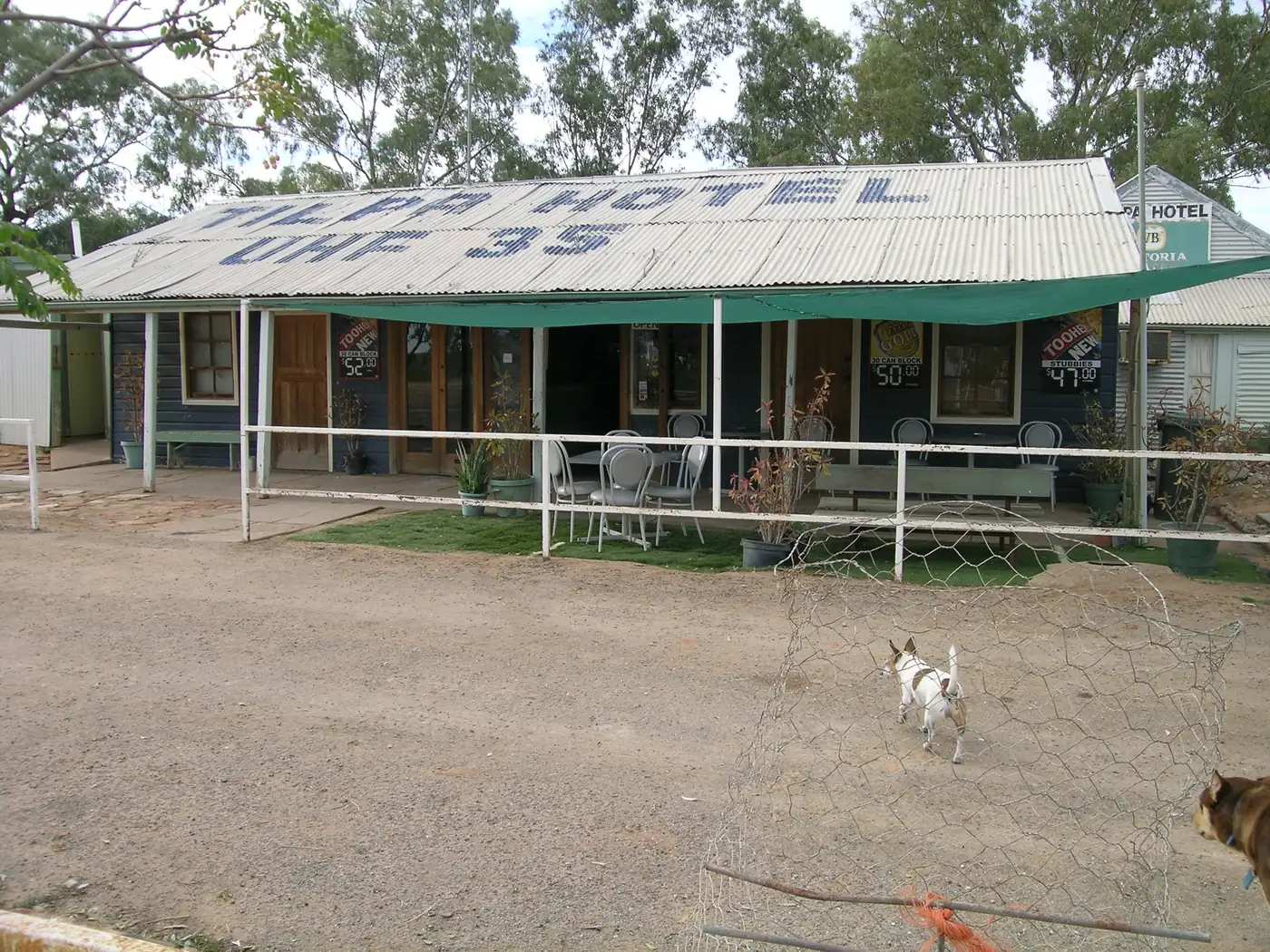
- Tilpa — 1894 Tilpa Hotel on the Darling River Run between Louth and Wilcannia.
- Wilcannia — Barkindji sandstone port on the Darling (Baaka), about 195 km east of Broken Hill.
- Menindee — lakes, Kinchega National Park and Burke and Wills history, about 110 km south-east of Broken Hill.
- Walgett — Gamilaraay town where the Barwon and Namoi rivers meet, about 75 km south of Lightning Ridge.
- Brewarrina — Baiame’s Ngunnhu fish traps on the Barwon, National Heritage-listed in 2005.
- Tibooburra and Milparinka — Corner Country granite, gold-rush stone and the gateway to Sturt National Park.
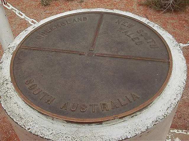
- Cameron Corner — the survey post where NSW, Queensland and South Australia meet.
- Collarenebri — Barwon River town between Lightning Ridge and Mungindi.
- Burren Junction — Pilliga-fringe locality with artesian bore baths on official visitor pages.
- Hermidale — small Barrier Highway locality between Nyngan and Cobar.
- Wanaaring — Bourke west / Paroo locality on the Hungerford approach.
- Pooncarie — lower Darling town and a southern approach to Mungo.
- Wentworth — NSW town at the Murray–Darling junction, in Wentworth Shire (not Victoria).
- Enngonia — Mitchell Highway north of Bourke.
- Goodooga — Culgoa / Lightning Ridge north.
- Come By Chance — Pilliga-fringe locality (the NSW village, not Newfoundland).
- Packsaddle — Silver City Highway stop on the Sturt’s Steps / Corner Country run.
- Byrock — Mitchell Highway locality between Nyngan and Bourke.
- Warren — Macquarie River town between Dubbo and Nyngan (New South Wales, not Warren VIC or Warren QLD).
- Nymagee — Cobar Shire locality south of Cobar.
The Darling River (Baaka)
The Darling, known as the Baaka to the Barkindji people, is the spine of this region. It forms near Bourke from the Barwon and Culgoa and runs south-west to join the Murray at Wentworth, across the Victorian border from Mildura. Nineteenth-century paddle steamers loaded wool at Bourke, Wilcannia and Menindee. Flows swing between flood and drought; WaterNSW publishes current Menindee Lakes storage. River red gums, lakes and anabranches support birdlife, and riverside camping is listed in Kinchega and Paroo-Darling National Park.
Destination NSW promotes the Darling River Run as a touring route along this country. Combine it with our outback NSW road trip.
Opal fields
Lightning Ridge is the best-known source of black opal. White Cliffs was Australia’s first commercial opal field — NSW National Parks notes finds from the 1880s — and many residents still live in dugouts because summer heat outside is extreme. The sealed road from Wilcannia to White Cliffs is about 95 km; other approaches can close after rain. Follow NSW Resources Regulator rules, stay off claims and never enter shafts. See fossicking and gem fields and the Great Artesian Basin for the Lightning Ridge bore baths.
Mining cities and copper country
Broken Hill’s Line of Lode, galleries, Royal Flying Doctor Service base and Living Desert sculptures make it the region’s service city. Silverton is an easy sealed side trip. Cobar grew from copper found in 1870 and still sits on the highway that most Sydney–Broken Hill drivers use. Nyngan, at the other end of that Barrier Highway start, is the last large wheat-belt stop before the mulga; Bogan Shire records the April 1990 flood that breached the levee and led to an almost complete airlift of the town.
Aboriginal heritage
Outback NSW holds some of the country’s most important Aboriginal places. Mungo National Park, in the Willandra Lakes World Heritage Area, preserves evidence of human life stretching back tens of thousands of years. Mutawintji has rock art visited on guided tours. Brewarrina’s Baiame’s Ngunnhu is a network of stone weirs and ponds on the Barwon, listed on the National Heritage List. Gundabooka and Toorale near Bourke and Mount Grenfell near Cobar add further Ngiyampaa, Ngemba and Barkindji sites. Visit with local guides where they are offered, and read visiting Country respectfully and Aboriginal rock art sites.
National parks
Mutawintji, Gundabooka, Toorale, Kinchega, Sturt and Paroo-Darling protect gorges, floodplains, lakes, rock art and gibber. Many access roads are unsealed and close after rain. Park alerts and visitor information sit on the NSW National Parks and Wildlife Service site; start with our national parks guide.
The Corner Country
North of Broken Hill the Silver City Highway heads into the far north-west. Visit Corner Country and the NSW Government promote the Sturt’s Steps touring route of about 1,100 km from Broken Hill through Packsaddle, Milparinka, Tibooburra and Cameron Corner, following Charles Sturt’s 1844–45 expedition. Distances they publish include Broken Hill to Milparinka about 294 km, Milparinka to Tibooburra 42 km, Tibooburra to Cameron Corner 139 km, and Broken Hill to the Corner 476 km. The last stretch is unsealed. The Dog Fence follows the state border. See the Corner Country region guide.
When to go
Autumn and spring are the most comfortable seasons, with mild days. Winter days are often clear but nights can be close to freezing, including at Broken Hill. Summer in the far west is frequently above 40°C, and some tours shorten their hours. After rain, wildflowers and waterbirds can be spectacular, but unsealed roads close. Check the Bureau of Meteorology and Live Traffic NSW. See best time to visit and outback weather by month.
Suggested loop
Sydney – Dubbo – Nyngan – Bourke, with a day trip to Brewarrina – Cobar – Wilcannia – White Cliffs – Broken Hill – Silverton – Menindee – and either south to Mildura and Mungo or north to Tibooburra. Allow about two weeks. A northern arm via Walgett and Lightning Ridge joins the Castlereagh Highway. Fill up at every reliable bowser, carry water, and treat dawn and dusk as kangaroo hours. See outback safety and kangaroos and driving safety.
Accredited visitor information centres in Broken Hill, Bourke, Cobar, Lightning Ridge, Nyngan and White Cliffs (including the Paroo-Darling visitor centre) are the best source of current road, tour and opening-hour advice.
Towns in this region
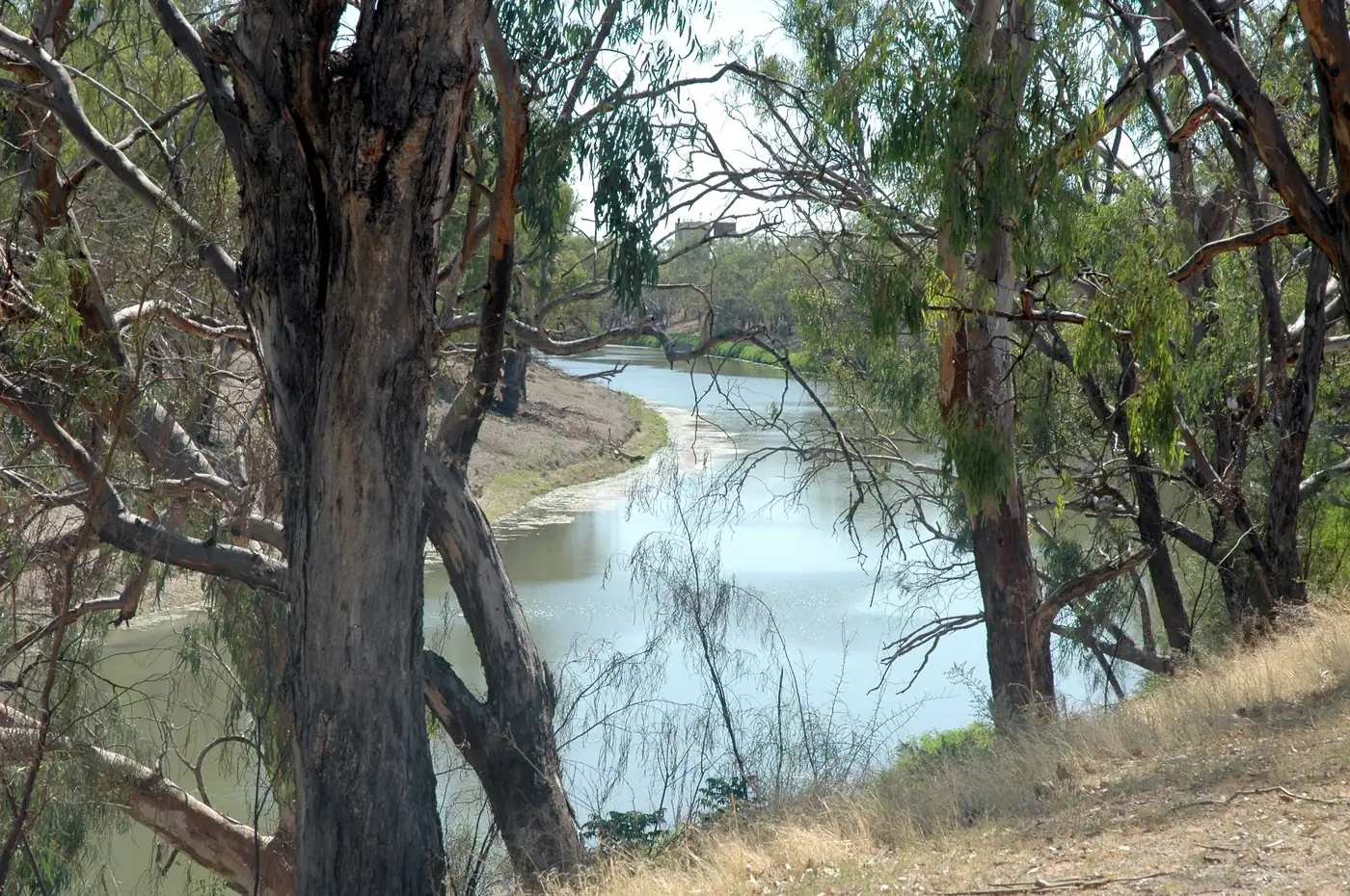
Outback NSW
Bourke
Bourke, NSW travel guide: the Back O' Bourke Exhibition Centre, Darling River paddleboat cruises, Gundabooka National Park, Henry Lawson and Fred Hollows.
Read · 7 min
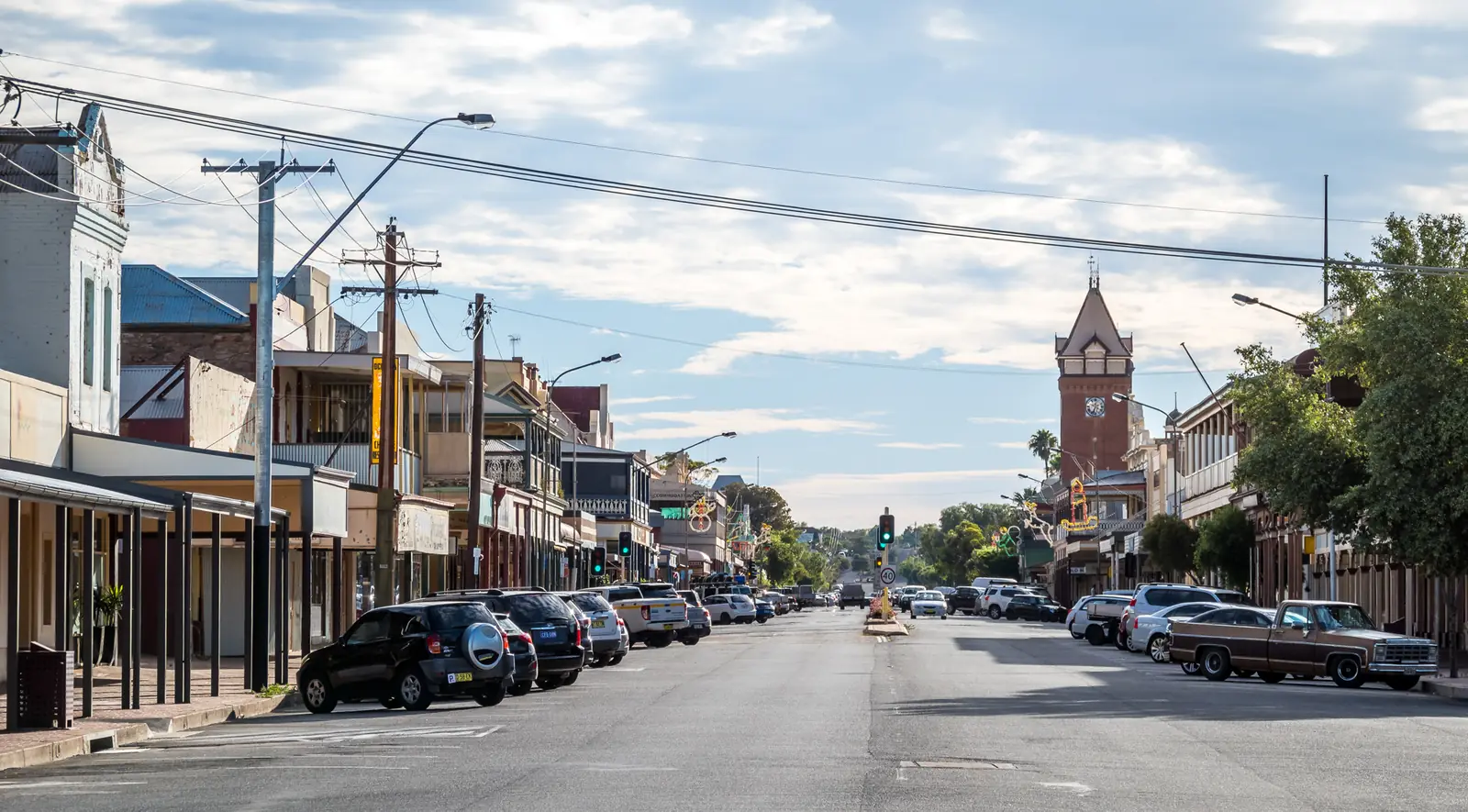
Outback NSW
Broken Hill
Broken Hill travel guide: the Line of Lode, Living Desert Sculptures, Royal Flying Doctor Service, art galleries, Silverton and Mutawintji.
Read · 7 min
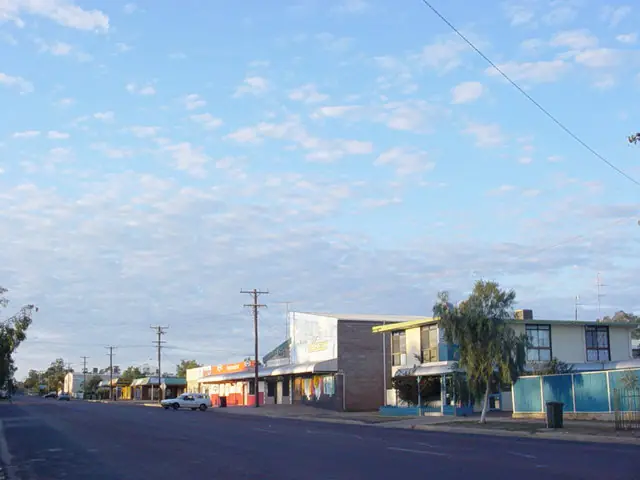
Outback NSW
Lightning Ridge
Lightning Ridge travel guide: black opal fields, the Car Door Tours, the artesian bore baths, Chambers of the Black Hand and John Murray's gallery.
Read · 6 min
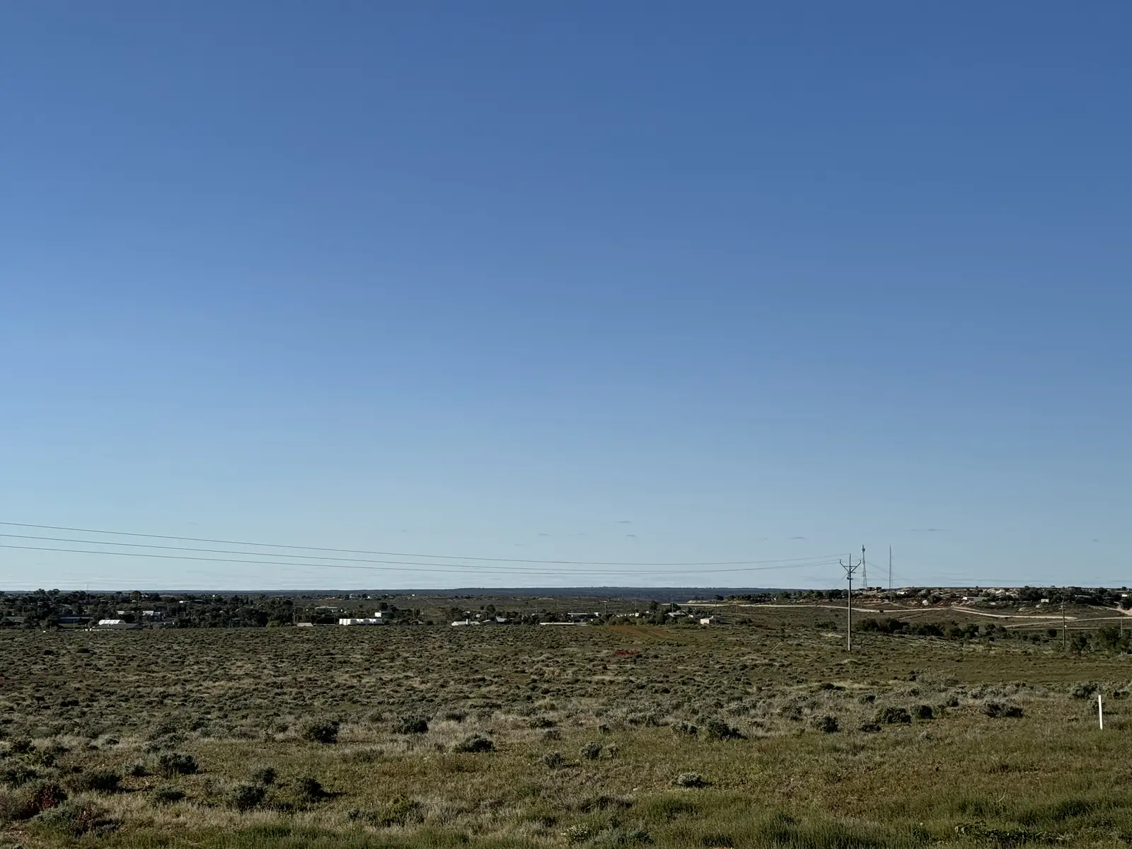
Outback NSW
White Cliffs
White Cliffs, NSW travel guide: Australia's first commercial opal field, underground dugout homes and motel, fossicking, stargazing and how to get there.
Read · 5 min
Outback NSW
Silverton
Silverton, NSW travel guide: the near-ghost town near Broken Hill famous for films, the Silverton Hotel, Mad Max 2 Museum and galleries.
Read · 5 min
Outback NSW
Cobar
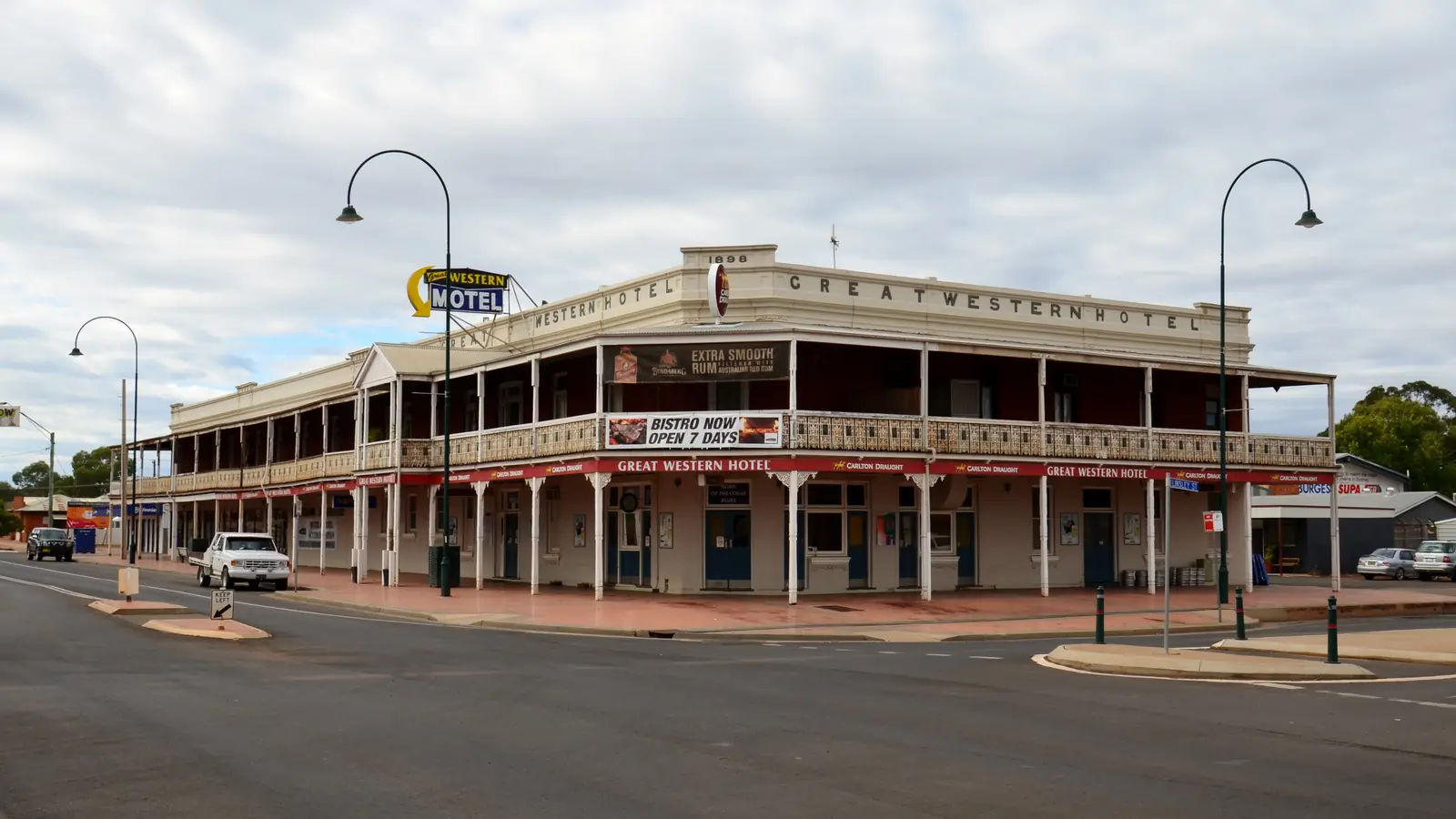
Cobar, NSW travel guide: the Great Cobar Heritage Centre, Fort Bourke lookout over the open cut and Mount Grenfell Aboriginal art site.
Read · 6 min
New South Wales · Corner Country
Cameron Corner
Cameron Corner travel guide: the survey post where three states meet, the Corner Store, the Dog Fence, Sturt National Park and road conditions.
Read · 5 min
New South Wales · Corner Country
Tibooburra
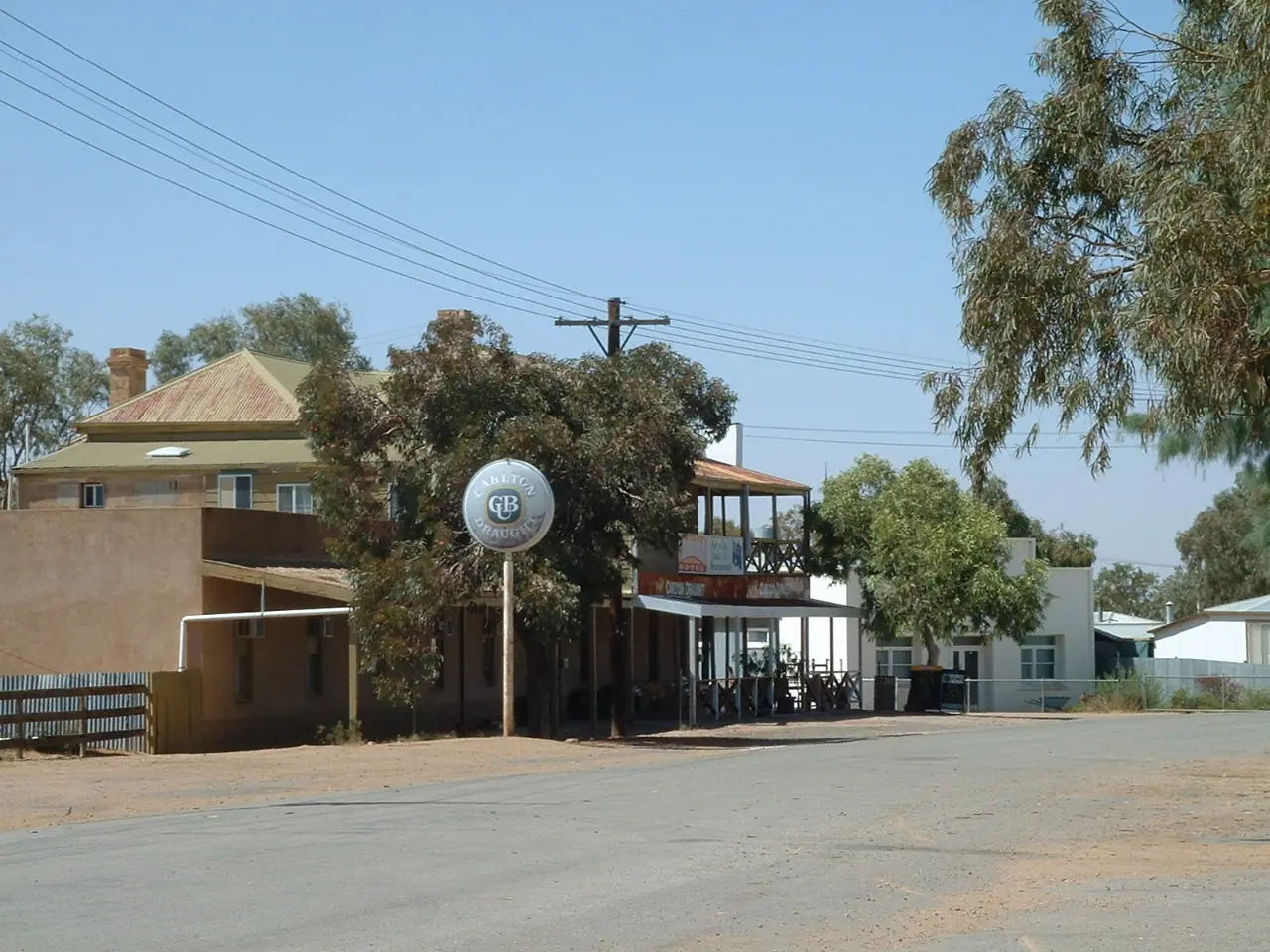
Tibooburra travel guide: NSW's remote Corner Country town among granite tors, Sturt National Park, Milparinka and Depot Glen, the Family Hotel and roads.
Read · 5 min
New South Wales · Far West
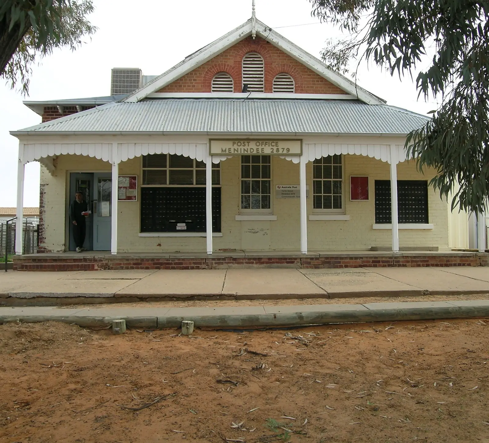
Menindee
Menindee travel guide: Darling (Baaka) River town, the Menindee Lakes, Kinchega National Park's historic woolshed, Burke and Wills history and fishing.
Read · 5 min
New South Wales · Far West
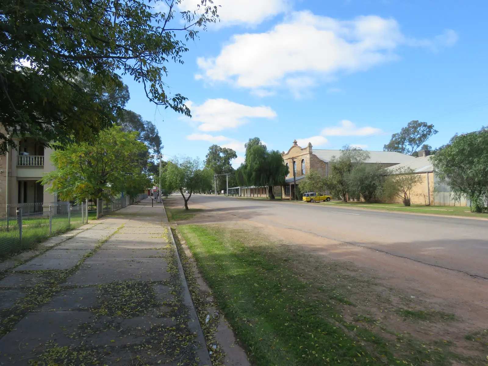
Wilcannia
Wilcannia travel guide: Barkindji Country on the Darling (Baaka) River, the former river port's sandstone heritage buildings and the lift-span bridge.
Read · 5 min
Outback NSW
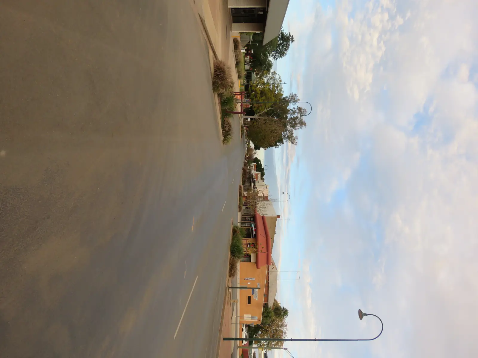
Nyngan
Nyngan travel guide: the Big Bogan, Nyngan Museum in the old railway station, the 1990 flood story, and the Mitchell and Barrier Highway junction on the way to Bourke and Cobar.
Read · 7 min
New South Wales · North West
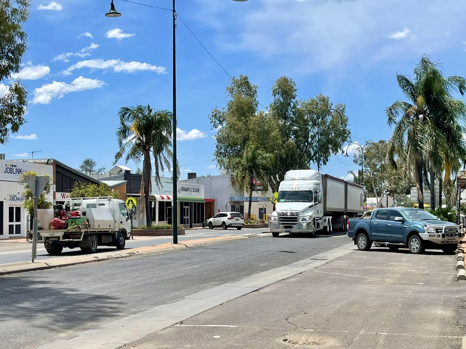
Walgett
Walgett travel guide: Gamilaraay Country at the junction of the Barwon and Namoi rivers, the 1965 Freedom Ride and the gateway to Lightning Ridge.
Read · 5 min
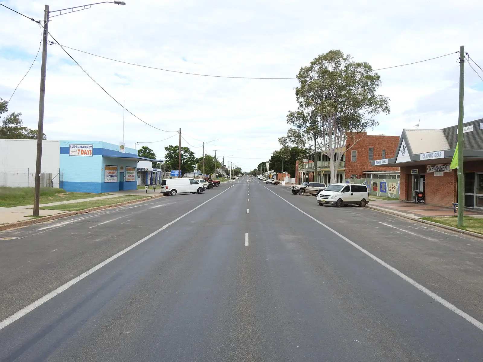
New South Wales · North West
Brewarrina
Brewarrina travel guide: Baiame's Ngunnhu, the ancient Aboriginal fish traps on the Barwon River and the Brewarrina Aboriginal Cultural Museum.
Read · 5 min
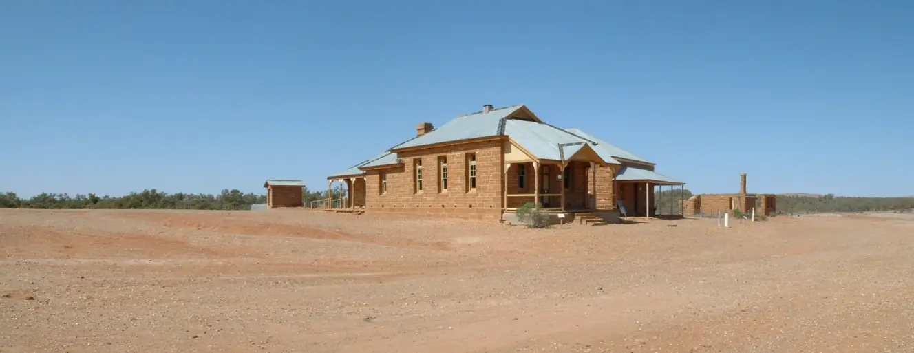
New South Wales · Corner Country
Milparinka
Milparinka travel guide: the Albert goldfield ghost town, its restored heritage precinct, the Albert Hotel, Depot Glen and Poole's grave.
Read · 5 min
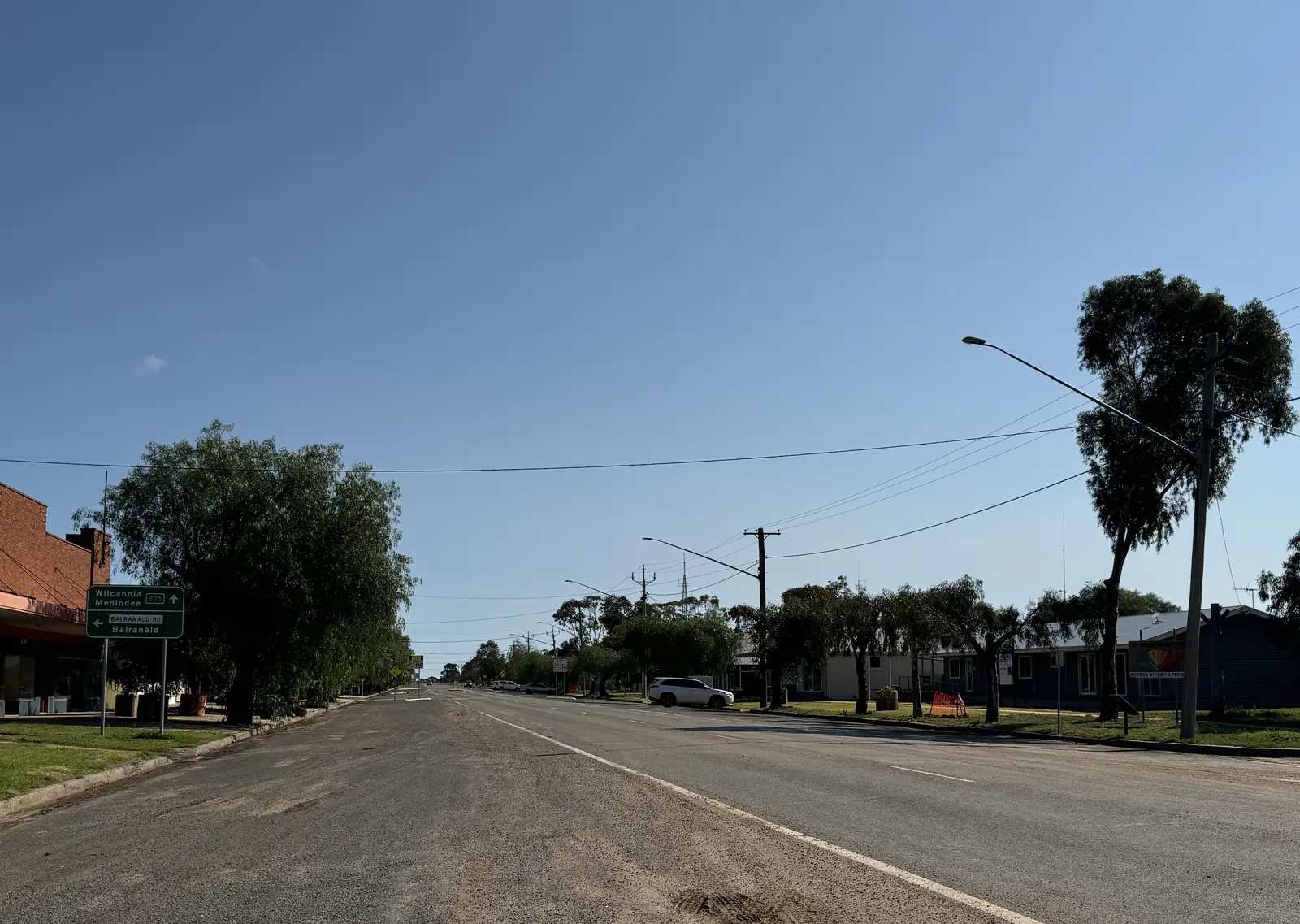
New South Wales · Outback NSW
Ivanhoe
Ivanhoe travel guide: Cobb Highway service town in Central Darling Shire, coach-to-rail history, fuel and camping types named by council, and a long dry BOM record.
Read · 7 min
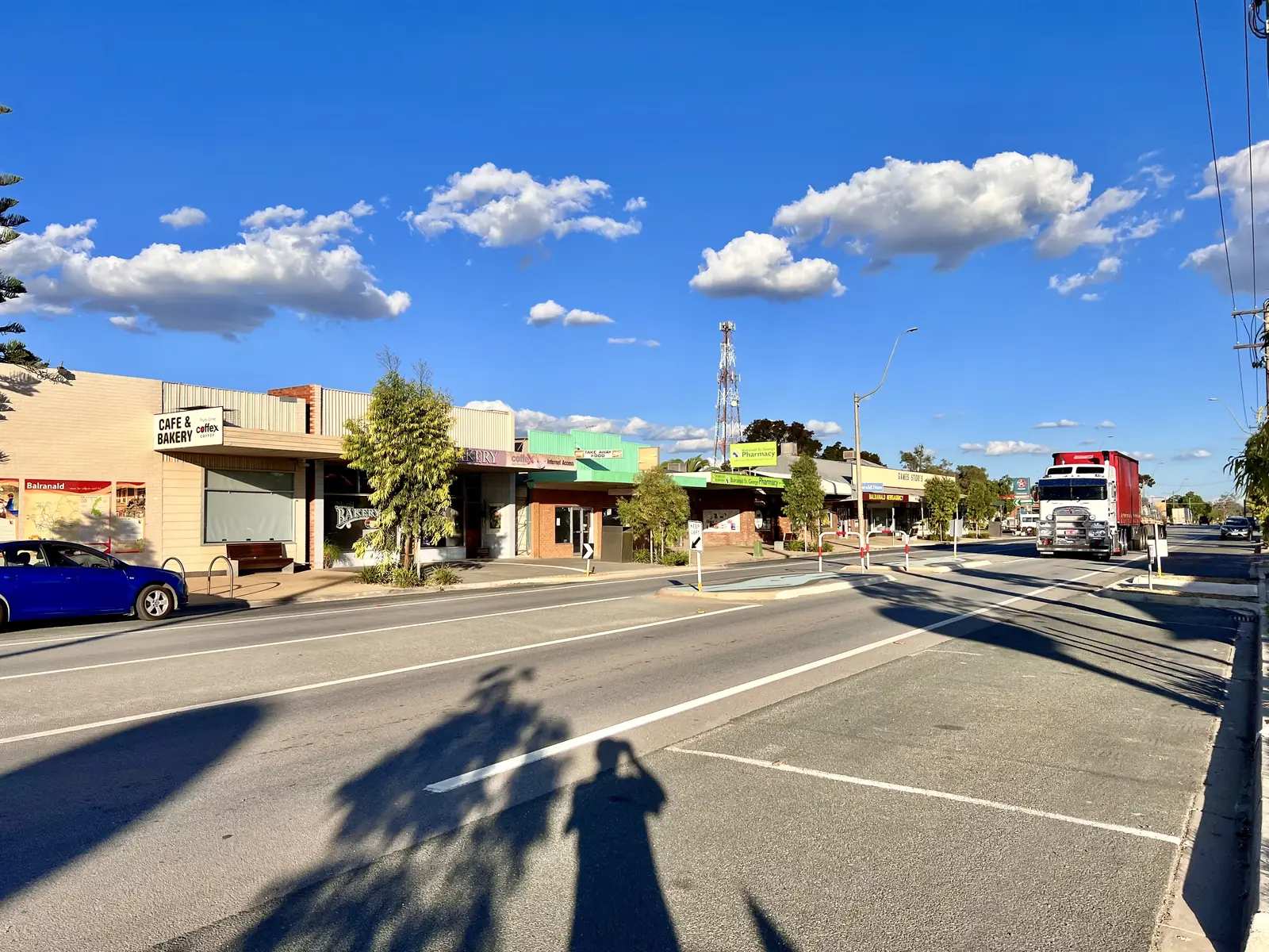
New South Wales · Outback NSW
Balranald
Balranald travel guide: Sturt Highway town on the Murrumbidgee, eastern approach to Mungo National Park, Yanga wetlands and woolshed, Five Rivers fishing and Heritage Trail.
Read · 9 min
New South Wales · Outback NSW
Louth
Louth travel guide: tiny Bourke Shire village on the Darling River Run, Shindy’s Inn, August races, Mary Mathews Celtic Cross, Dunlop Station and fuel as named by Visit Bourke.
Read · 8 min
New South Wales · Outback NSW
Tilpa
Tilpa travel guide: tiny Darling River Run village, Tilpa Hotel established 1894, RFDS wall messages, fuel named by the official Run, and the road to Wilcannia.
Read · 8 min
New South Wales · Outback NSW
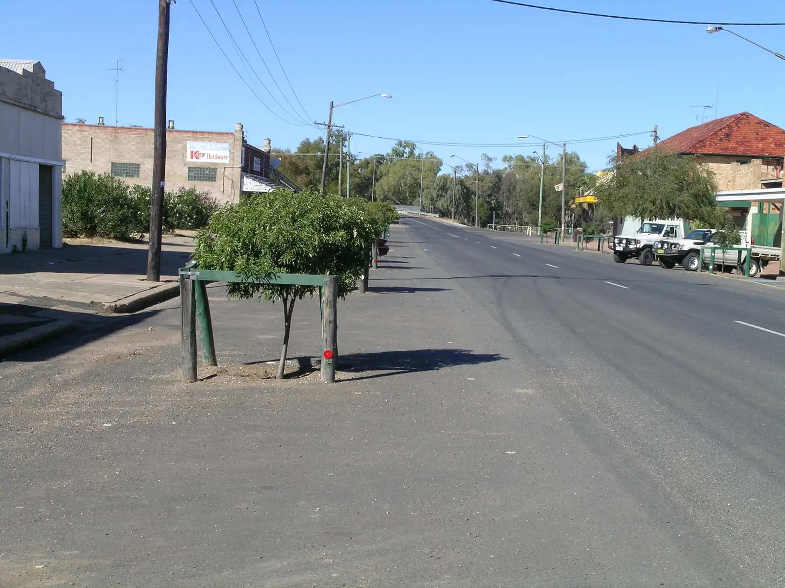
Collarenebri
Collarenebri travel guide: Walgett Shire town on the Barwon River and Gwydir Highway — artesian bore baths, river camp, heritage Aboriginal cemetery, and Lightning Ridge / Mungindi neighbours.
Read · 8 min
New South Wales · Outback NSW
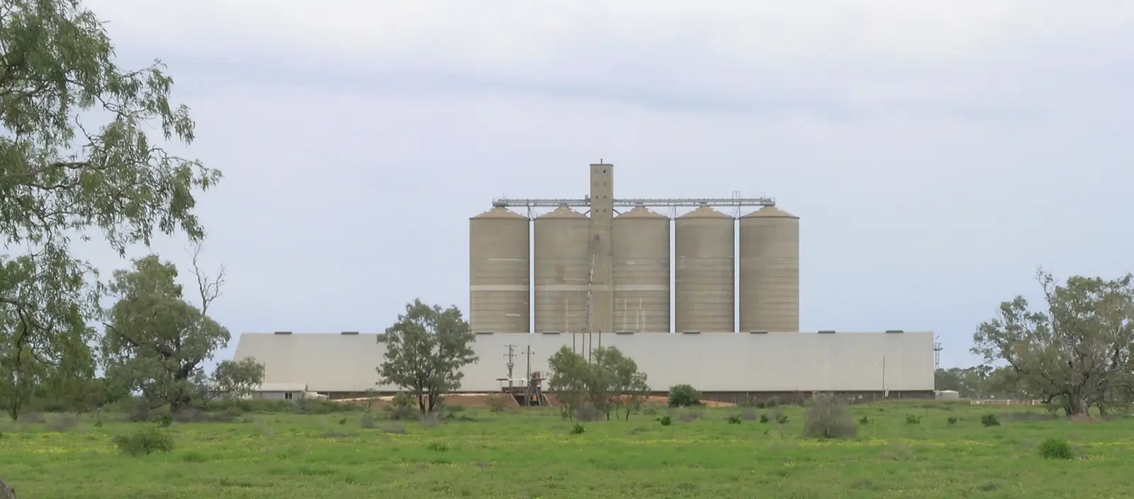
Burren Junction
Burren Junction travel guide: Walgett Shire locality on the Pilliga fringe — council artesian bore baths and campground on the Kamilaroi Highway, one hour from Walgett.
Read · 7 min
New South Wales · Outback NSW
Hermidale
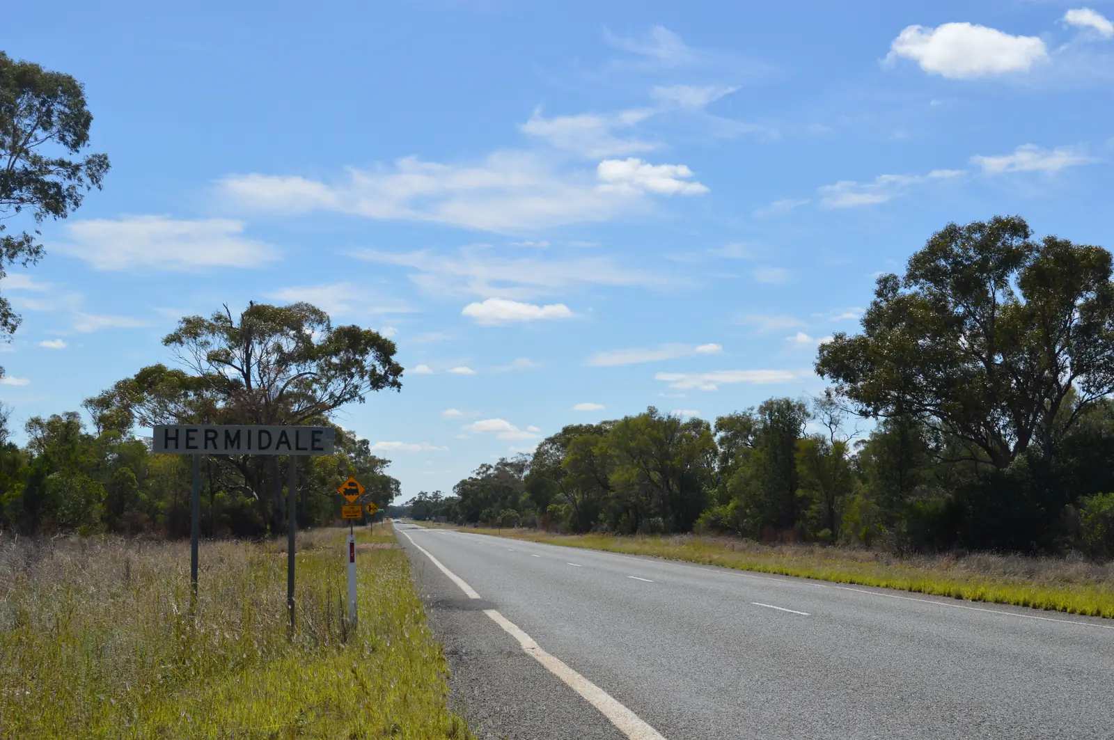
Hermidale travel guide: tiny Bogan Shire locality on the Barrier Highway between Nyngan and Cobar. Sourced facts only — hotel named by council, no invented services.
Read · 7 min
New South Wales · Outback NSW
Wanaaring
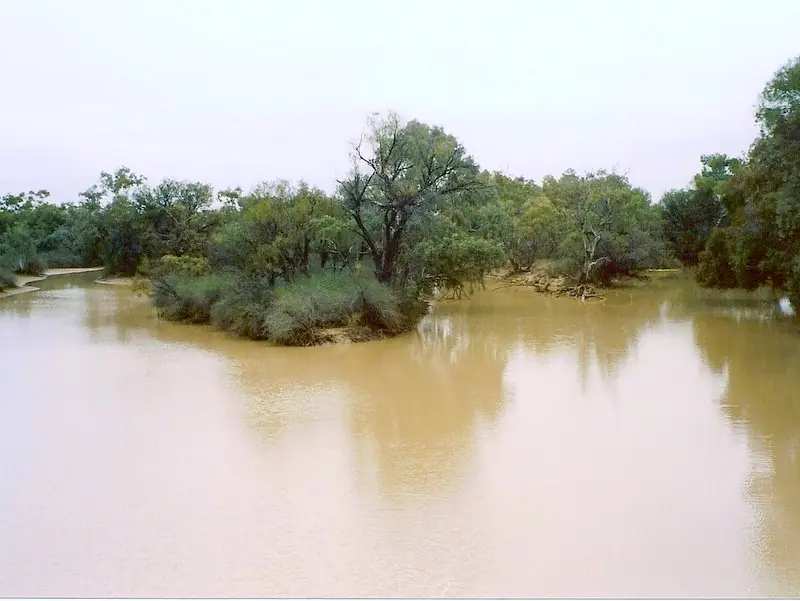
Wanaaring travel guide: Bourke Shire town on the Paroo west of Bourke — Visit Bourke’s store and caravan park, Nocoleche Nature Reserve 20 km south, Live Traffic NSW. Enngonia is the Mitchell Highway neighbour.
Read · 6 min
New South Wales · Outback NSW
Pooncarie
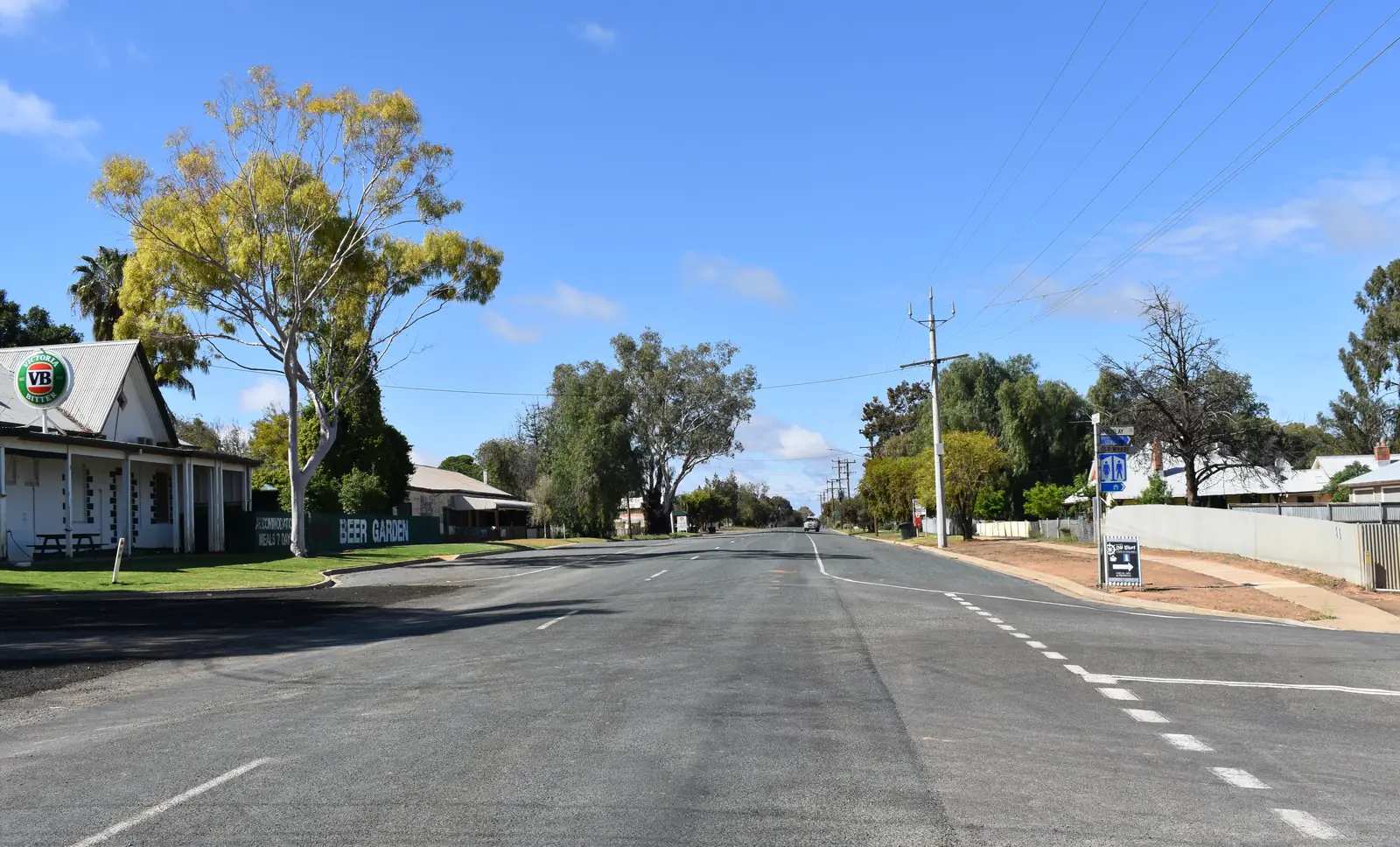
Pooncarie travel guide: Visit NSW’s lower Darling ‘Port’ on the Darling River Run — Telegraph Hotel Motel, Bilbarka Park, Mungo National Park from the south. Neighbour to Wentworth at the Murray–Darling junction.
Read · 6 min
New South Wales · Outback NSW
Enngonia
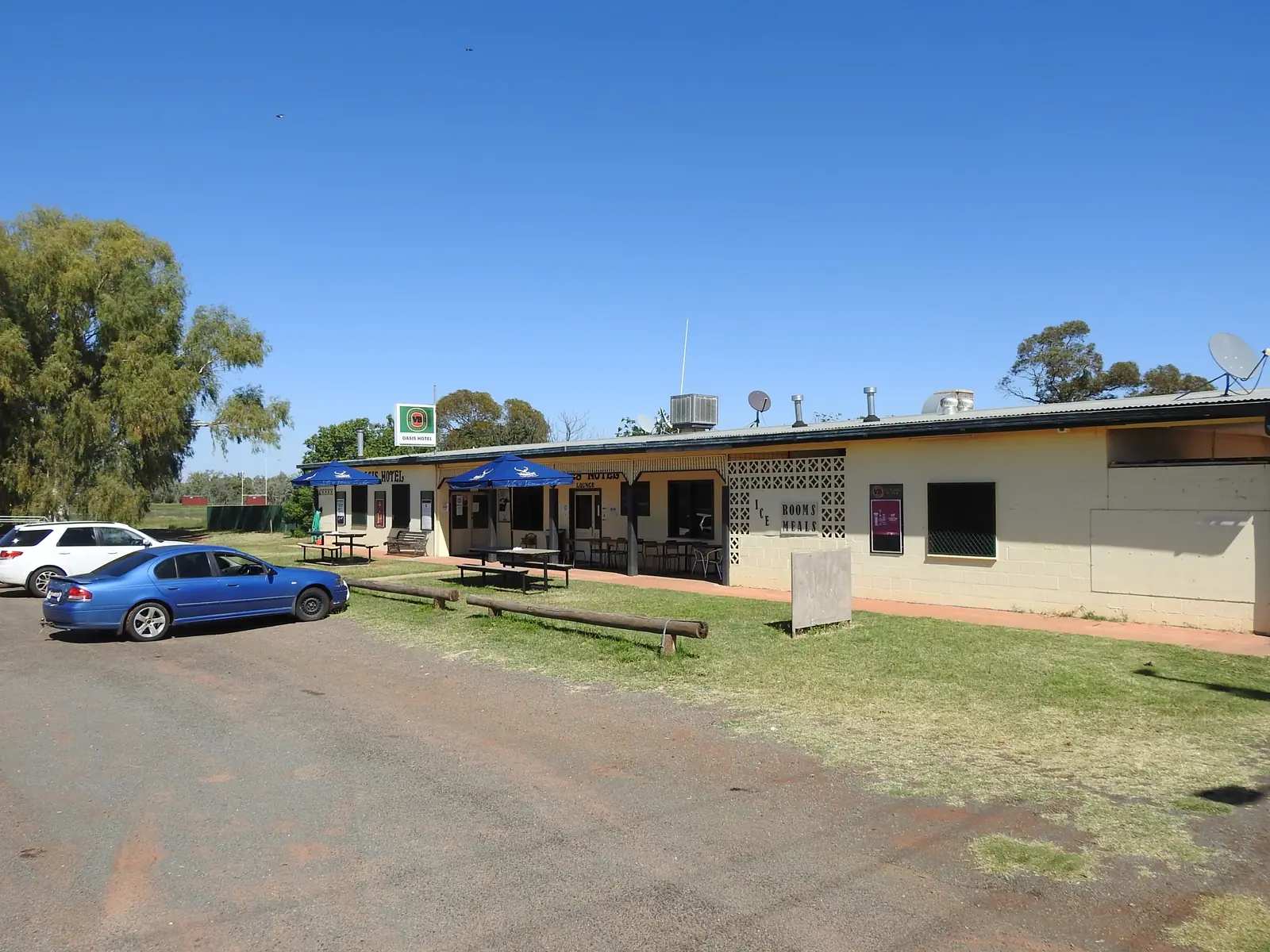
Enngonia travel guide: Bourke Shire village on the Mitchell Highway — Oasis Hotel/Motel, Captain Starlight and Midnight stories, September races, Ledknapper Nature Reserve. ABS 2021 SAL11429.
Read · 8 min
New South Wales · Outback NSW
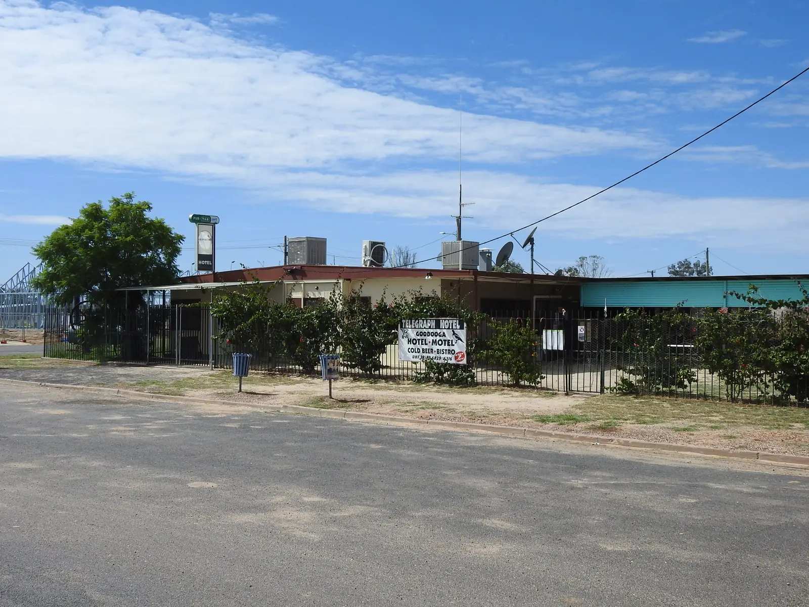
Goodooga
Goodooga travel guide: Brewarrina Shire village — Goodooga Great Artesian Baths at 40 °C, free camping, Community Store, Magpies rugby. ABS 2021 SAL11708. BOM Goodooga Post Office closed 2016.
Read · 7 min
New South Wales · Outback NSW
Come By Chance
Come By Chance travel guide: Walgett Shire village on the Pilliga fringe — Colless brothers’ 1862 station name, picnic races, cemetery, sign photograph. ABS 2021 SAL10993. Not a joke listing.
Read · 7 min
New South Wales · Outback NSW
Packsaddle
Packsaddle travel guide: Unincorporated Far West roadhouse on the Silver City Highway — fuel, rooms and camping 175 km north of Broken Hill. Sturt’s Steps shelter, Malyangapa Country. ABS 2021 SAL13125.
Read · 10 min
New South Wales · Outback NSW
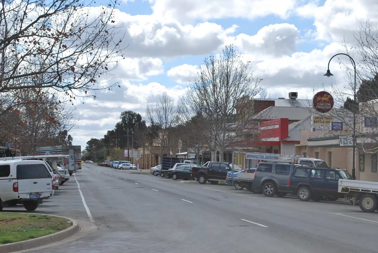
Wentworth
Wentworth travel guide: NSW town where the Darling meets the Murray — Pioneer Museum, Old Gaol, Junction Island, Perry Sandhills, Mungo and the Darling River Run. Wentworth Shire, not Victoria. Neighbour to Mildura, Pooncarie, Balranald.
Read · 8 min
New South Wales · Outback NSW
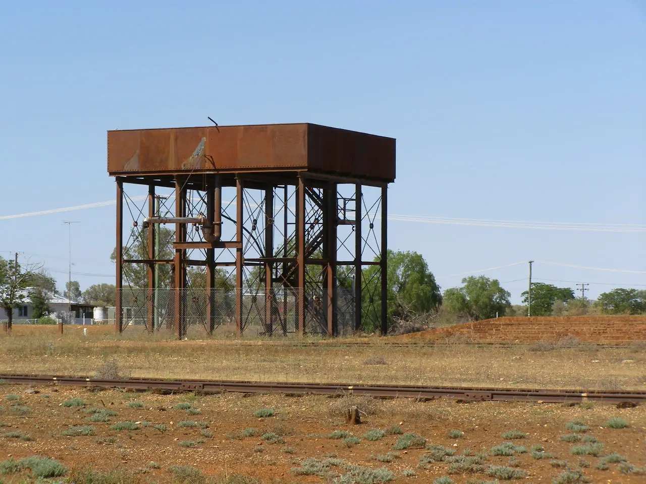
Byrock
Byrock travel guide: Bourke Shire village on the Mitchell Highway between Nyngan and Bourke — Mulga Creek Hotel, Byrock Rock Holes, cemetery. ABS 2021 SAL10730: 26 people. Visit Bourke / Visit NSW.
Read · 8 min
New South Wales · Outback NSW
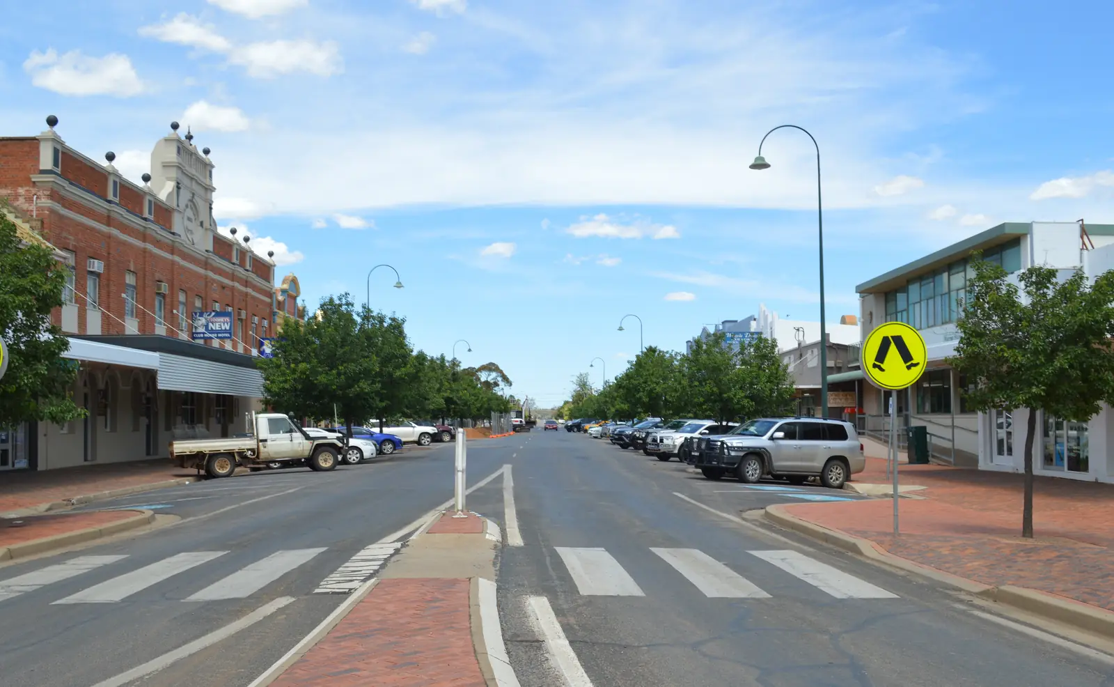
Warren
Warren travel guide: Macquarie River town between Dubbo and Nyngan — Window on the Wetlands, Tiger Bay, Beemunnel, museum, stays and nearby BOM Nyngan Airport. Not Warren VIC or Warren QLD.
Read · 9 min
New South Wales · Outback NSW
Nymagee
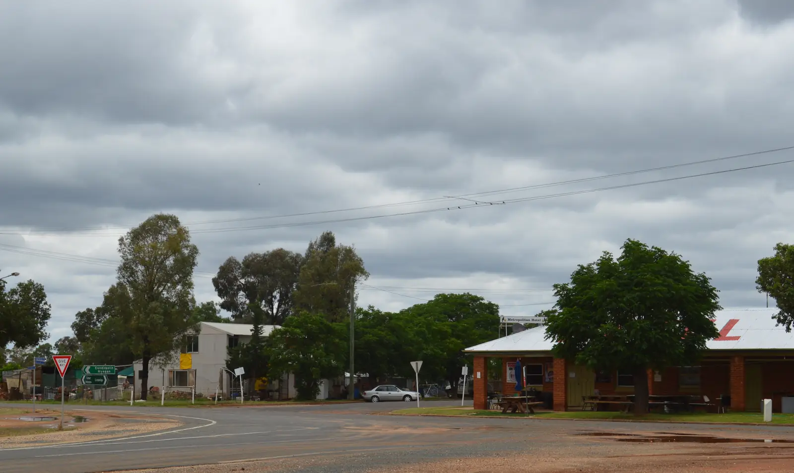
Nymagee travel guide: Cobar Shire village 100 km south of Cobar — Metropolitan Hotel, Clancy of the Overflow country, Four Corners Farm Stay and nearby BOM Cobar MO. Not a Nyngan suburb.
Read · 8 min
New South Wales · Outback NSW
Canbelego
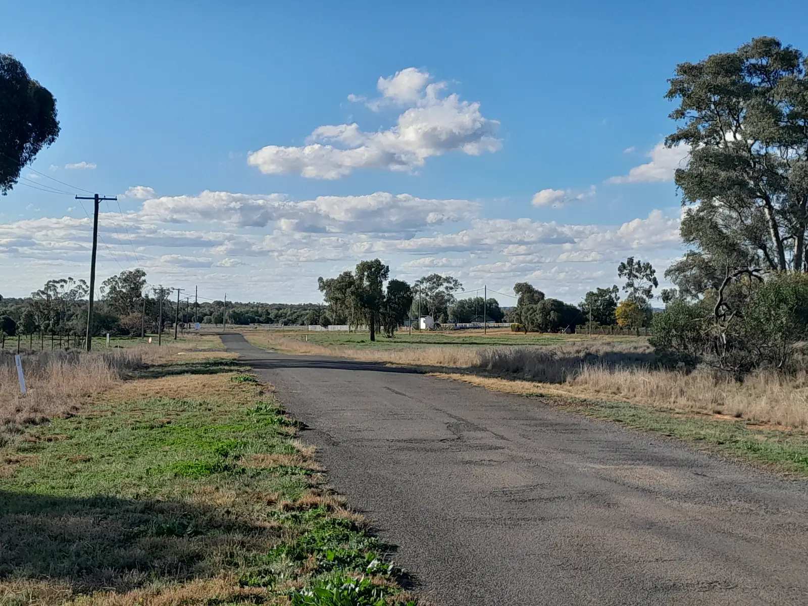
Canbelego travel guide: Cobar Shire historic mining locality, Mount Boppy Gold Mine 1901–1922. ABS 2021 SAL10786: 54 people. Nearby BOM Cobar MO. Not Cobar, not Nyngan.
Read · 8 min
Frequently asked questions
Where does outback NSW start?
Destination NSW treats Outback NSW as its own destination, covering towns such as Bourke, Broken Hill, Cobar, Lightning Ridge, White Cliffs, Wilcannia, Menindee, Brewarrina, Nyngan and the Corner Country. Most travellers feel the country open out west of Dubbo, at Nyngan, where the Barrier Highway leaves the Mitchell Highway for Cobar and Broken Hill.
Do I need a 4WD for outback NSW?
Not for the main towns. Transport for NSW's Mitchell, Barrier, Kidman Way, Castlereagh and Silver City highways are sealed through Bourke, Cobar, Wilcannia, Broken Hill and Lightning Ridge. Unsealed park and Corner Country roads close after rain; check Live Traffic NSW and the local shire before leaving the bitumen.
Is Broken Hill on Sydney time?
No. Broken Hill and the far west of NSW observe Australian Central Time, the same as South Australia, which is 30 minutes behind Sydney (and a further hour behind during daylight saving).
How long do I need?
Destination NSW and our own loop both suit about 10 to 14 days from Sydney via Dubbo, Bourke or Cobar, Broken Hill and back along the Darling or the Murray. A shorter trip can fly or take NSW TrainLink's Outback Xplorer to Broken Hill and add Silverton.
What is the climate like?
Bureau of Meteorology averages for Nyngan Airport (051039) show a mean January maximum of 34.5°C, a July maximum of 16.5°C and mean annual rainfall of 445.6 mm. Tibooburra Post Office (046037) is hotter and drier still, with a January mean maximum of 36.2°C. Travel is most comfortable from about April to October.
Sources and further reading
Facts on this page were checked against these primary and official sources. Conditions change — confirm before you travel or buy.
- Visit Outback NSW — Destination NSW
- Live Traffic NSW — Transport for NSW
- NSW national parks — NSW National Parks and Wildlife Service
- Climate statistics for Nyngan Airport (051039) — Bureau of Meteorology
- Climate statistics for Tibooburra Post Office (046037) — Bureau of Meteorology
- City of Broken Hill — National Heritage List — Department of Climate Change, Energy, the Environment and Water
- Baiame's Ngunnhu (Brewarrina Fish Traps) — Department of Climate Change, Energy, the Environment and Water
- Nyngan (2021 Census QuickStats, UCL115113) — Australian Bureau of Statistics