At a glance
Sourced facts only. Distances and services change — confirm before you travel.
- Population
- 208 people (SAL13329, 2021 Census)
- Local government
- Carrathool Shire
- Traditional Owners
- Not named for the Rankins Springs townsite on the sourced Carrathool pagesCarrathool Shire’s Hillston page names Ngiyampaa for Willandra Creek. Confirm a Rankins Springs wording with council in Goolgowi.
- Nearest regional city
- Griffith, about 40 minutes south (Carrathool Shire accommodation page). A kilometre figure is not printed on that page.
- Capital
- Sydney, about 6.5 hours west (Carrathool Shire). Melbourne about 6 hours north. Kilometres not printed.
- Nearest fuel
- Carrathool Shire names a service station in the village
- Nearest hospital or clinic
- Confirm with NSW Health — do not invent a clinic name. Griffith is the regional centre named on the 40-minute drive.
- Mobile coverage
- Check Telstra and Optus coverage maps before travel; NPWS notes limited reception in nearby Cocoparra National Park.
- Best time to visit
- May–September (cooler BOM Hillston Airport mean maxima). NPWS names spring wildflowers and autumn camping for Cocoparra, a Griffith-side park.
Climate
Monthly means from the Bureau of Meteorology station Hillston Airport (075032). This is not a forecast. Closed 8 October 2025. Carrathool Shire long-record table — not a Rankins Springs town station. Commenced 1881. Elevation 122 m. Temperature 93 years (1907–2025); rainfall 135 years (1881–2025). Griffith Airport AWS (075041) remains open — do not blend.
| Month | Mean max (°C) | Mean min (°C) | Rainfall (mm) |
|---|---|---|---|
| Jan | 33.6 | 18.5 | 31.8 |
| Feb | 32.9 | 18.3 | 26.9 |
| Mar | 29.4 | 15.2 | 33.3 |
| Apr | 24.4 | 10.6 | 27.9 |
| May | 19.4 | 7.3 | 32.9 |
| Jun | 15.8 | 4.8 | 35.1 |
| Jul | 15.1 | 3.8 | 30.3 |
| Aug | 17.2 | 4.9 | 30.6 |
| Sep | 20.9 | 7.1 | 28.7 |
| Oct | 24.8 | 10.4 | 36.1 |
| Nov | 28.6 | 13.8 | 30.8 |
| Dec | 31.7 | 16.4 | 30.2 |
Rankins Springs in pictures
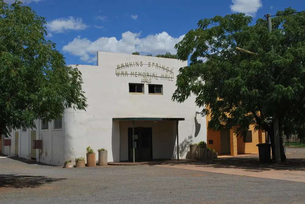
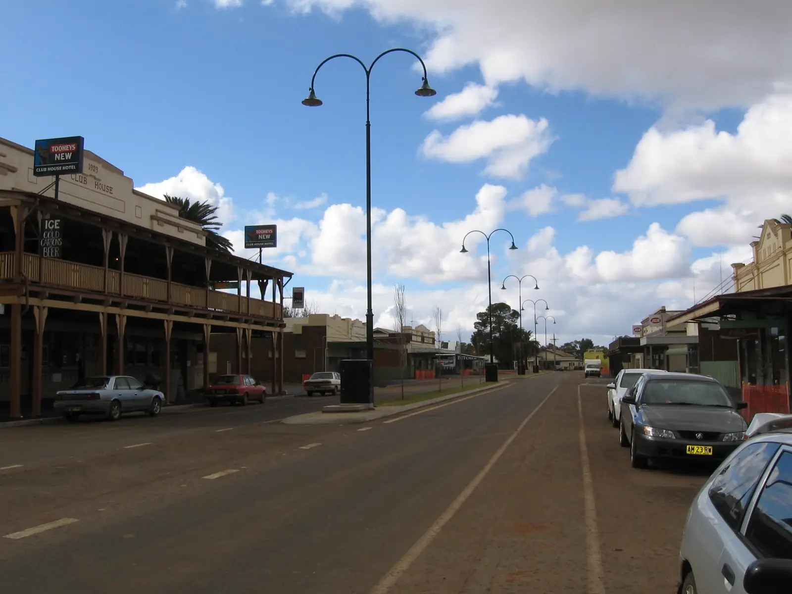
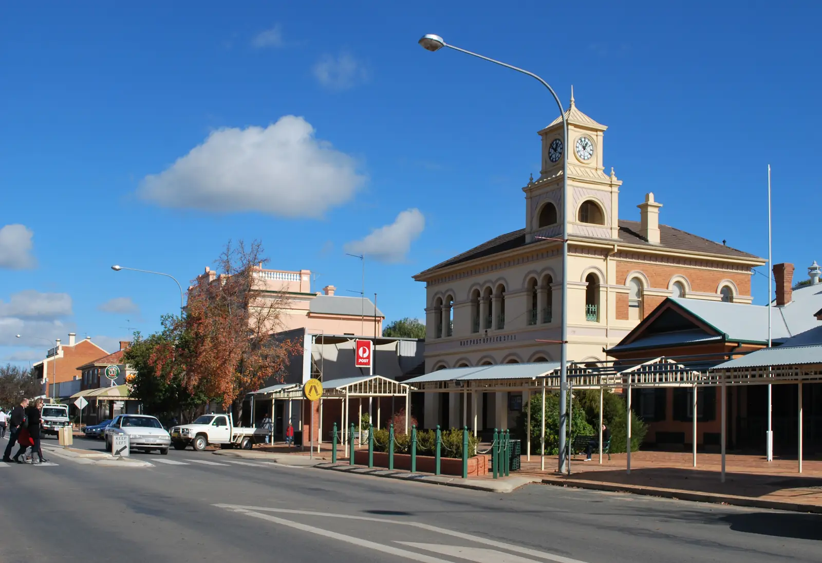
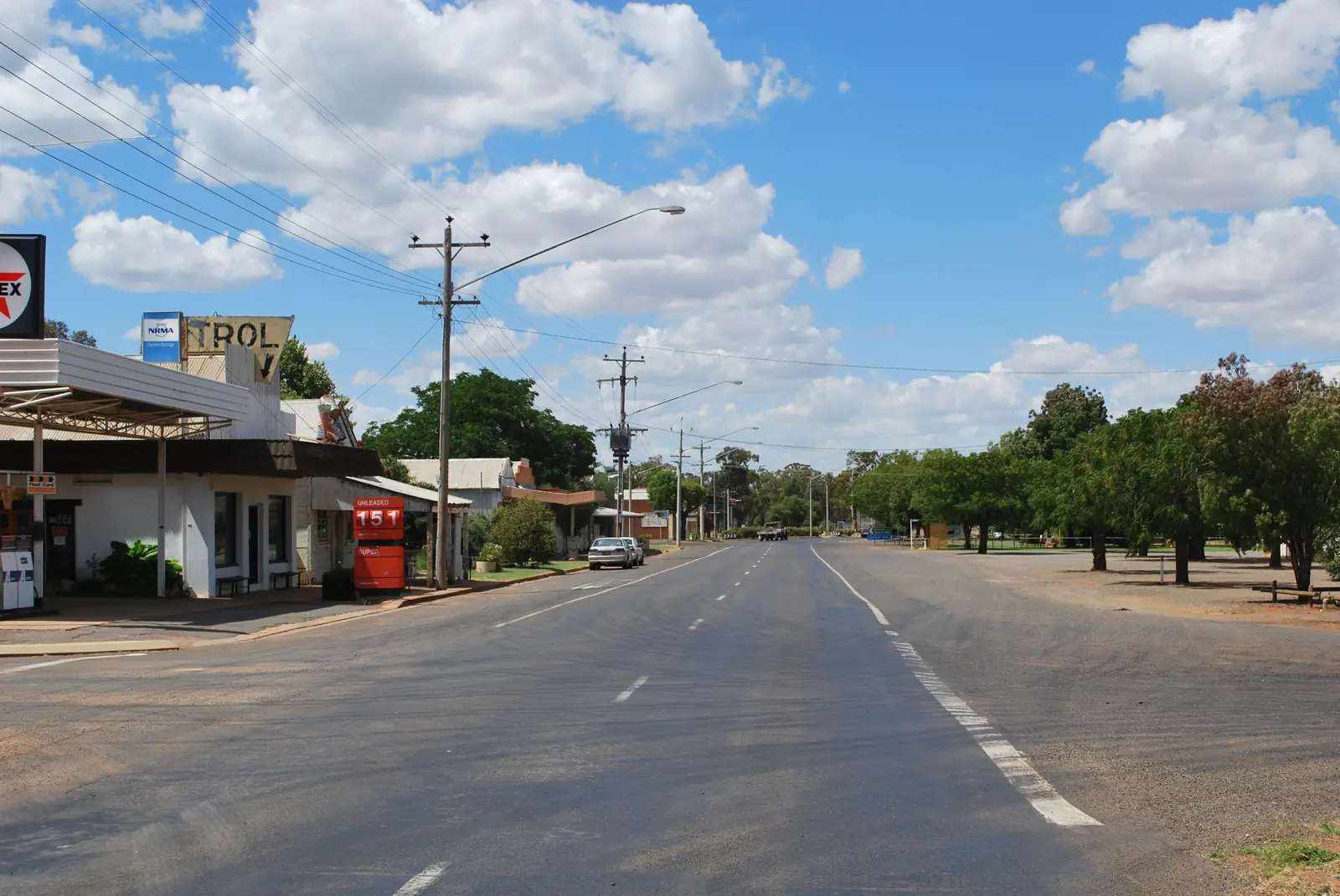
War memorial hall, Rankins SpringsPhoto: Mattinbgn · CC BY 3.0 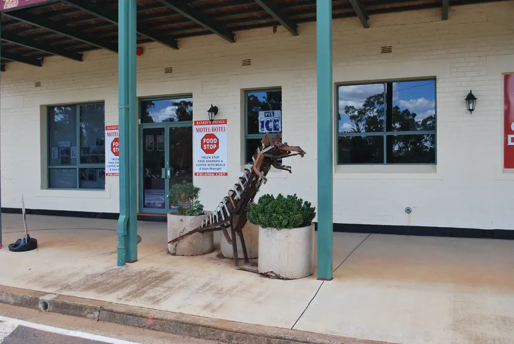
Dinosaur sculpture outside the Conapaira HotelPhoto: Mattinbgn · CC BY 3.0 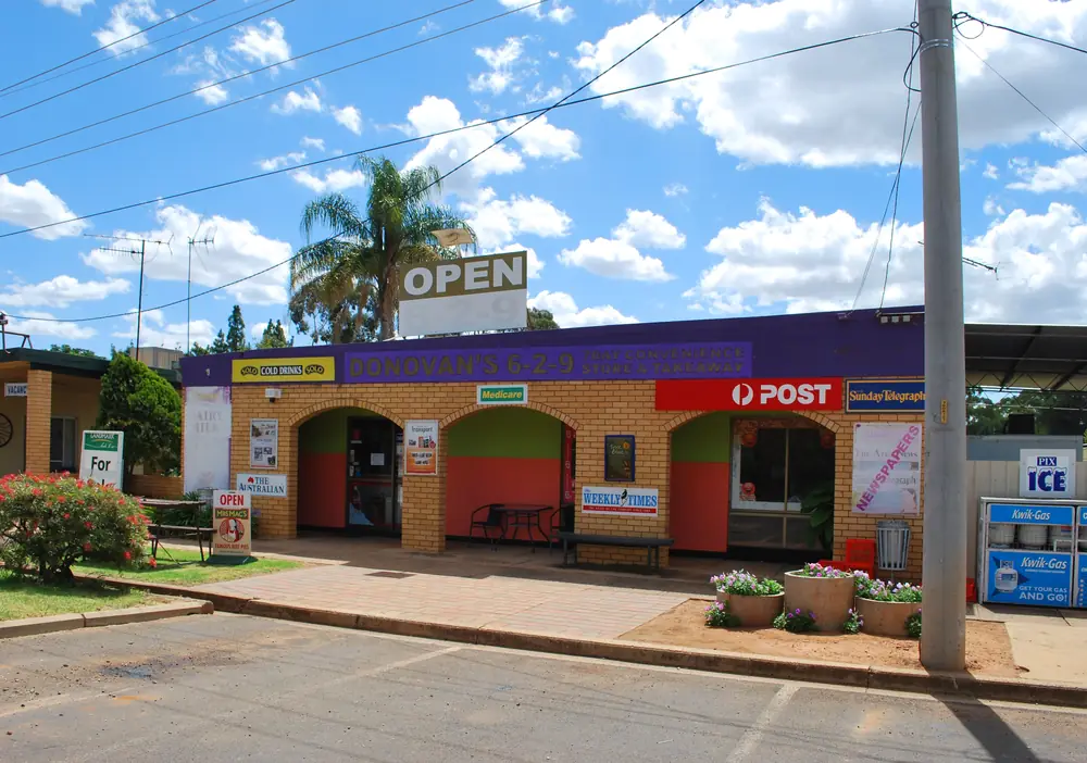
General store in Rankins SpringsPhoto: Mattinbgn · CC BY 3.0 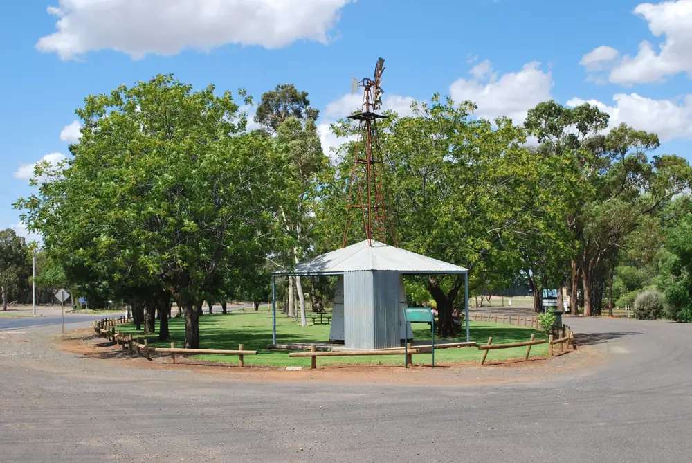
Wind wheel at Rankins SpringsPhoto: Mattinbgn · CC BY 3.0
Rankins Springs is a Mid Western Highway village in Carrathool Shire, on this site’s Explorer Country list even though the shire’s own visit pages sit in the Riverina. Carrathool Shire’s accommodation page is the official listing used here: between Goolgowi and West Wyalong, about 40 minutes north of Griffith, 6.5 hours west of Sydney, 6 hours north of Melbourne, known for seven designated bird hides and Wally’s Junk Art Gallery, with a pub, general store, post office, motel and service station. This hub is the bird-hide village. It is not Hillston’s Lachlan swinging-bridge town, not a Griffith suburb, and not a Kidman Way city.
The Australian Bureau of Statistics does not publish a 2021 Urban Centre (UCL) named Rankins Springs on the QuickStats pages used here. Use suburbs-and-localities SAL13329: 208 people, median age 35, sex split 52.4% male / 47.6% female. 51 families, 95 private dwellings. Aboriginal and/or Torres Strait Islander people were 17 (8.2%) of the SAL. Read the ABS SAL QuickStats.
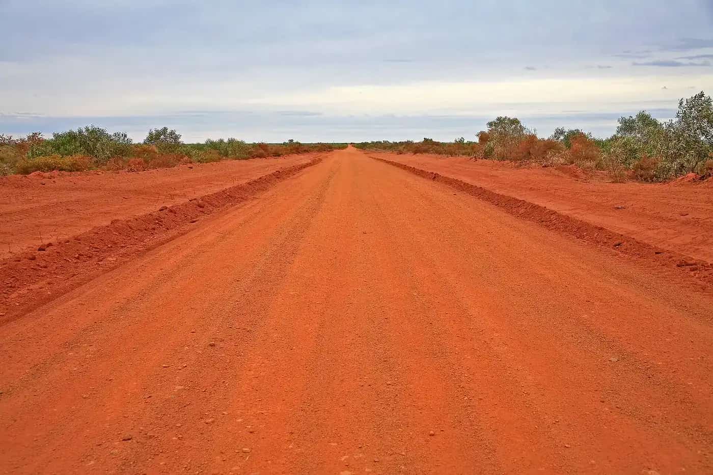
The Mid Western Highway is sealed in ordinary weather. After rain, Live Traffic NSW and Carrathool Shire roads still close floodways. NPWS says roads to and throughout Cocoparra National Park close in wet weather. Fill at the named service station or in Goolgowi / Griffith.
Where it is, and how far
Rankins Springs sits on the Mid Western Highway in Carrathool Shire. NSW Government’s Visit Carrathool Shire page names Hillston and the villages of Carrathool, Rankins Springs, Goolgowi and Merriwagga. Goolgowi is the crossroads of the Mid Western Highway and Kidman Way, about 30 minutes north of Griffith on the same accommodation page — named, not linked. West Wyalong is the other highway name on the Rankins Springs paragraph.
| Place | Distance from Rankins Springs (sourced) |
|---|---|
| Griffith | about 40 minutes south (Carrathool Shire). Kilometre not printed |
| Sydney | about 6.5 hours (Carrathool Shire). Kilometre not printed |
| Melbourne | about 6 hours north (Carrathool Shire). Kilometre not printed |
| Goolgowi | highway neighbour toward the Kidman Way; kilometre not printed on the Rankins Springs paragraph |
| Hillston Airport (BOM 075032) | 33.49°S, 145.52°E, elevation 122 m — closed shire table, not a Rankins Springs drive time |
| Griffith Airport AWS (BOM 075041) | 34.25°S, 146.07°E, elevation 134 m — open regional table |
Hay is the plains neighbour on this site via Carrathool village’s 40-minutes-south-of-Hay wording — a Carrathool-village figure, not a Rankins Springs offset.
Facts at a glance
Population. ABS 2021 SAL13329: 208 people. Median age 35. 8.2% Aboriginal and/or Torres Strait Islander. No UCL. Rankins Springs SAL QuickStats.
Climate. No Rankins Springs row on the BOM NSW monthly-statistics list used here. Use HILLSTON AIRPORT, 075032, commenced 1881, elevation 122 m, closed 8 October 2025. Mean maximum (93 years, 1907–2025): January 33.6 °C, July 15.1 °C, annual 24.5 °C. Mean minimum (92 years): January 18.5 °C, July 3.8 °C, annual 10.9 °C. Mean rainfall (135 years, 1881–2025): annual 374.6 mm. For a still-open nearby table, Griffith Airport AWS, 075041: January mean maximum 33.5 °C, July 14.8 °C, annual rainfall 403.2 mm. Do not blend. See Rankins Springs weather.
Visitor information. Nearest VIC named for this village is in Goolgowi — Carrathool Shire office 9–11 Cobram Street, (02) 6965 1900, council@carrathool.nsw.gov.au. Hillston’s Red Dust & Paddy Melons Gallery doubles as that town’s VIC on the Hillston hub.
Traditional Owners
Carrathool Shire’s Rankins Springs paragraphs used here do not name a single nation for the townsite. The shire’s Hillston page, used on this site’s Hillston guide, records that Willandra Creek was an important travel route and food source for the Ngiyampaa people — a different corridor. NSW Government’s Visit Carrathool Shire page does not add a townsite acknowledgement. Confirm wording at 9–11 Cobram Street, Goolgowi.
History
Carrathool Shire’s art page names the Resilience Sculpture by John Wood, 2003 — painted figures on corten steel representing an uncertain and sometimes extreme climate, depicting glossy black cockatoos which inhabit the Rankins Springs area, on the Mid Western Highway. Wally’s Junk Art Gallery transforms scrap metal into larger-than-life characters. That is the official art history used here. This hub does not invent a gazettal year the shire pages do not print.
NSW Government’s Visit Carrathool Shire page frames the shire as Riverina country of Lachlan and Murrumbidgee rivers, agriculture, heritage streetscapes and sunsets. Rankins Springs is one of the named villages in that list.
Things to do
Seven designated bird hides — Carrathool Shire. Stay on formed access. This facts file does not invent a species roster beyond the sculpture’s glossy black cockatoos.
Wally’s Junk Art Gallery — scrap-metal sculpture. Hours change. Ask at Goolgowi or the motel.
Resilience Sculpture — John Wood, 2003, Mid Western Highway. Photograph from formed access.
Pub, general store, post office — named village services. Not a 24-hour strip.
Cocoparra National Park — NPWS: dramatic Cocoparra Range, bushwalking and birdwatching, within a half hour drive of Griffith. Spring wildflowers; waterfalls after rain; peregrine falcons; rainbow bee-eaters. Enter from the western side via Barrys Scenic Drive or Mount Bingar Road — no access from Pleasant Valley Road / Eastern Boundary fire trail. Roads close in wet weather; check Griffith City Council or Carrathool Shire. Griffith office (02) 6966 8100. This is a Griffith-side park day, not a Rankins Springs footpath.
See things to do in Rankins Springs.
Willandra National Park is Hillston’s 64 km park on that hub, not a Rankins Springs loop.
Where to stay
Carrathool Shire names:
- Rankins Springs Motel — 11 rooms, 4 Boomerang Street, (02) 6966 1183, motelrankins@gmail.com
- Rankins Springs Caravan Park — Mid Western Highway, 16 powered drive-through grass sites and unpowered sites, amenities block, pet friendly, no bookings, fees to the site caretaker, (02) 6965 1900. Seniors/CMCA discounts are printed on the council fees table — this hub does not reprint dollar amounts that change.
Goolgowi and Hillston are the shire overflow.
- How to choose: Rankins Springs accommodation
- Camping detail: Rankins Springs caravan parks
- Operator enquiries: feature your business
Caravan and camping
Vans use Rankins Springs as a Mid Western Highway overnight between Goolgowi and West Wyalong. The sourced park is council’s Rankins Springs Caravan Park. Ask (02) 6965 1900. Read Rankins Springs caravan parks and outback camping.
Cocoparra camping is a park product with park rules, entered from the Griffith west side. After rain, Live Traffic NSW and Carrathool roads first.
Fuel and services
Carrathool Shire names a service station, general store, post office, pub and motel. A locality of 208 people will not match Griffith for a hospital. This guide does not invent a clinic name. Fill at the named service station; if it is closed, Goolgowi has a service station on the same shire page. For questions, (02) 6965 1900. Rankins Springs water-and-sewer after-hours on the council home page is 0428 661 305 — a utility contact, not a visitor desk.
Road access
The Mid Western Highway is the sealed spine through Rankins Springs between Goolgowi (Kidman Way junction) and West Wyalong. Freight road. Pull over for road trains. After rain, Live Traffic NSW. Cocoparra roads close in the wet.
West: Goolgowi then Hillston on the Kidman Way. South: Griffith (about 40 minutes) — no town page on this site. East: West Wyalong. Hay is the Murrumbidgee plains neighbour via Carrathool village.
Nearby parks and towns
Parks and named nature sites:
- Seven bird hides (Carrathool Shire)
- Cocoparra National Park — NPWS, Griffith west side
- Willandra National Park — on the Hillston hub, 64 km from that town
Towns on this site:
- Hillston — Lachlan, Kidman Way
- Hay — plains
- West Wyalong — Bland Shire Newell / Mid-Western Highway junction
- Dubbo — Explorer Country regional city on this hub’s region
Named, not linked: Goolgowi, Merriwagga, Griffith, Carrathool village.
When to go, and how long
Hillston Airport’s January mean maximum of 33.6 °C is hot for a hide at midday. July’s 15.1 °C mean maximum is the walking season on paper; July’s 3.8 °C mean minimum is why a van night needs a layer. Annual rainfall 374.6 mm on 135 years. Forty-five minutes covers the sculpture, a hide and the gallery if open. A night lets you use the council park or motel if confirmed. Two nights only if you are adding Cocoparra from the Griffith west entrance and NPWS agrees the road is open.
NPWS names spring for Cocoparra wildflowers and autumn for Woolshed Flat camping — Griffith-side notes, not Rankins Springs event dates.
Operators who want a checked listing: feature your business. The listings slot on this hub stays empty until then.
Plan this trip
Tell us the dates, who you are travelling with and where you need help. We reply with planning notes for Rankins Springs — we are not a booking agent.
Events and road-conditions newsletter
Occasional notes on outback festivals, race days and official road-condition sources — not a daily blast. We use these details only to send the newsletter.
New South Wales · Explorer Country
Rankins Springs accommodation
Where to stay in Rankins Springs: Carrathool Shire names Rankins Springs Motel (11 rooms) and the council caravan park on the Mid Western Highway. Goolgowi and Hillston are overflow.
Read · 3 min
New South Wales · Explorer Country
Rankins Springs caravan parks
Camping in Rankins Springs: Carrathool Shire names a pet-friendly council caravan park with 16 powered drive-through sites. No bookings. Cocoparra camping is a separate NPWS product.
Read · 3 min
New South Wales · Explorer Country
Rankins Springs weather
Rankins Springs climate from Carrathool Shire’s long-record BOM table, Hillston Airport (075032): January mean max 33.6 °C, July 15.1 °C, annual rainfall 374.6 mm. Station closed October 2025; Griffith Airport AWS remains open.
Read · 4 min
New South Wales · Explorer Country
Things to do in Rankins Springs
Things to do in Rankins Springs: seven bird hides, Wally’s Junk Art Gallery, Resilience Sculpture. Cocoparra National Park is a Griffith-side NPWS day, not a village footpath.
Read · 3 min
Frequently asked questions
How far is Rankins Springs from Griffith and Sydney?
Carrathool Shire’s accommodation page puts Rankins Springs Village on the Mid Western Highway between Goolgowi and West Wyalong, about 40 minutes north of Griffith, 6.5 hours west of Sydney and 6 hours north of Melbourne. Those pages do not print a kilometre figure for those drives.
What is Rankins Springs’s population?
208 people at the 2021 Census for Rankins Springs suburbs-and-localities (SAL13329), median age 35. The ABS does not publish a 2021 Urban Centre (UCL) named Rankins Springs on the QuickStats pages used here.
What is there to do in Rankins Springs?
Carrathool Shire names seven designated bird hides, Wally’s Junk Art Gallery, a Resilience Sculpture of glossy black cockatoos by John Wood (2003) on the Mid Western Highway, plus a pub, general store, post office, motel and service station. Cocoparra National Park is an NPWS park within a half hour of Griffith, not a Rankins Springs main-street loop.
Where should I stay in Rankins Springs?
Carrathool Shire names Rankins Springs Caravan Park on the Mid Western Highway (16 powered drive-through grass sites and unpowered sites, pet friendly, no bookings, (02) 6965 1900) and Rankins Springs Motel, 11 rooms at 4 Boomerang Street, (02) 6966 1183.
What is the weather like in Rankins Springs?
There is no Rankins Springs BOM monthly-statistics table on the NSW list used here. Use Hillston Airport (075032, closed October 2025): January mean maximum 33.6 °C, July 15.1 °C, annual rainfall 374.6 mm. Griffith Airport AWS (075041) remains open.
Whose Country is Rankins Springs on?
Carrathool Shire’s Rankins Springs paragraphs used here do not name a single nation for the townsite. The shire’s Hillston page records Ngiyampaa connection to Willandra Creek. Confirm Rankins Springs wording with council at 9–11 Cobram Street, Goolgowi, (02) 6965 1900.
Sources and further reading
Facts on this page were checked against these primary and official sources. Conditions change — confirm before you travel or buy.
- Rankins Springs 2021 Census QuickStats (SAL13329) — Australian Bureau of Statistics
- Climate statistics for Hillston Airport (075032) — Bureau of Meteorology
- Climate statistics for Griffith Airport AWS (075041) — Bureau of Meteorology
- Accommodation in Carrathool Shire — Carrathool Shire Council
- Caravan Parks — Carrathool Shire Council
- Art in Carrathool Shire — Carrathool Shire Council
- Visit Carrathool Shire — NSW Government
- Cocoparra National Park — NSW National Parks and Wildlife Service
- Live Traffic NSW — Transport for NSW