At a glance
Sourced facts only. Distances and services change — confirm before you travel.
- Population
- 259 people (UCL322002, 2021 Census)Also 559 people at SAL30045 (SAL). Do not mix UCL and SAL in one headcount.
- Local government
- Barcaldine Regional Council
- Nearest regional city
- Emerald, approximately 170 km east on Barcaldine Regional Council’s Alpha flood-mitigation study
- Nearest fuel
- Confirm in the service town named under nearest regional city; this guide does not list bowser brands.
- Nearest hospital or clinic
- Confirm with Queensland Health — do not invent a clinic name.
- Mobile coverage
- Check Telstra and Optus coverage maps before travel; do not assume a signal on floodways, parks or unsealed approaches.
- Best time to visit
- May–September on Barcaldine Post Office (036007) cooler mean maxima (July 22.8 °C; January 35.7 °C). QLDTraffic after rain.
Climate
Monthly means from the Bureau of Meteorology station Barcaldine Post Office (036007). This is not a forecast. Commenced 1886. Elevation 267 m. Status: Open. Annual mean rainfall 499.3 mm. Alpha Post Office (035000) is not on BOM’s Queensland monthly-statistics index. Barcaldine Post Office is the labelled Capricorn Highway comparison used here, not an Alpha town gauge.
| Month | Mean max (°C) | Mean min (°C) | Rainfall (mm) |
|---|---|---|---|
| Jan | 35.7 | 23.3 | 84.1 |
| Feb | 34.7 | 22.7 | 79.5 |
| Mar | 33.4 | 21.0 | 61.1 |
| Apr | 30.2 | 16.9 | 34.9 |
| May | 26.1 | 12.5 | 28.4 |
| Jun | 23.0 | 9.2 | 24.3 |
| Jul | 22.8 | 8.1 | 22.4 |
| Aug | 25.1 | 9.7 | 15.6 |
| Sep | 28.8 | 13.6 | 16.3 |
| Oct | 32.4 | 17.7 | 29.2 |
| Nov | 34.6 | 20.5 | 41.3 |
| Dec | 35.9 | 22.4 | 62.2 |
Alpha in pictures
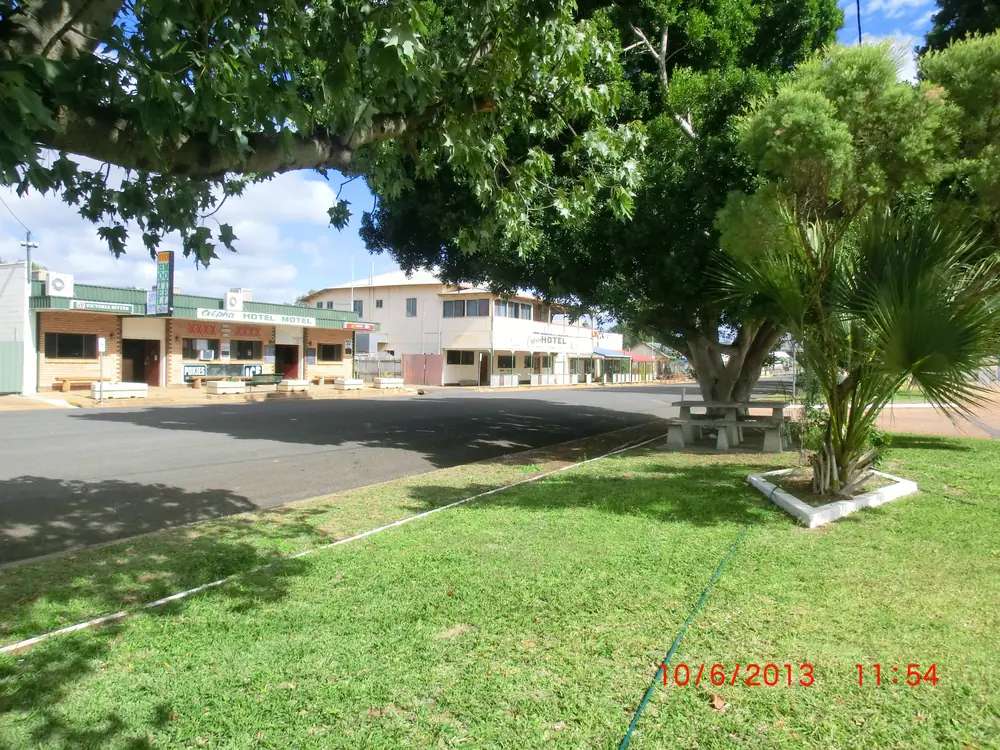
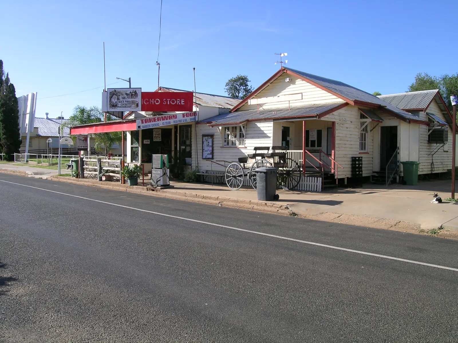
Alpha's main streetPhoto: Lobster1 · CC BY-SA 3.0 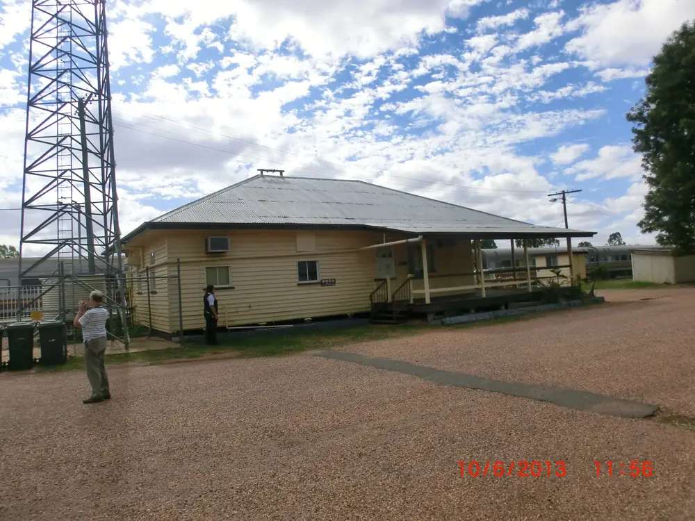
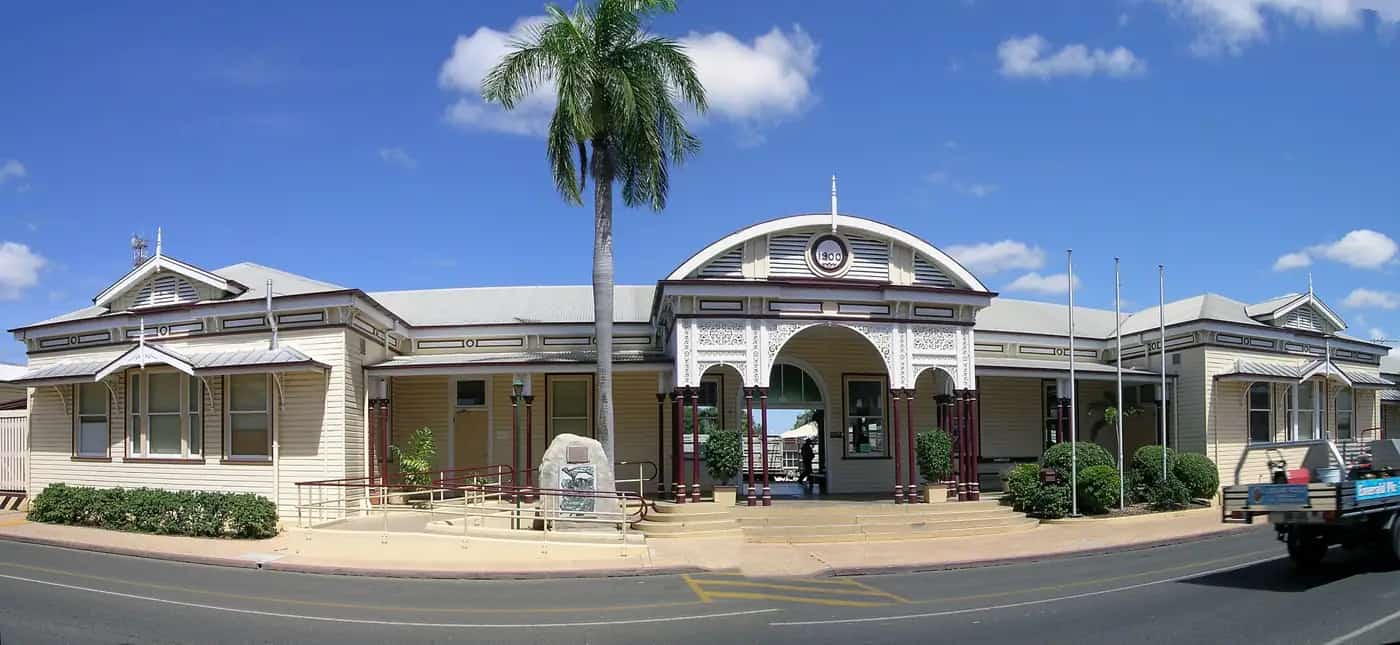
Alpha's railway stationPhoto: Lobster1 · CC BY-SA 3.0 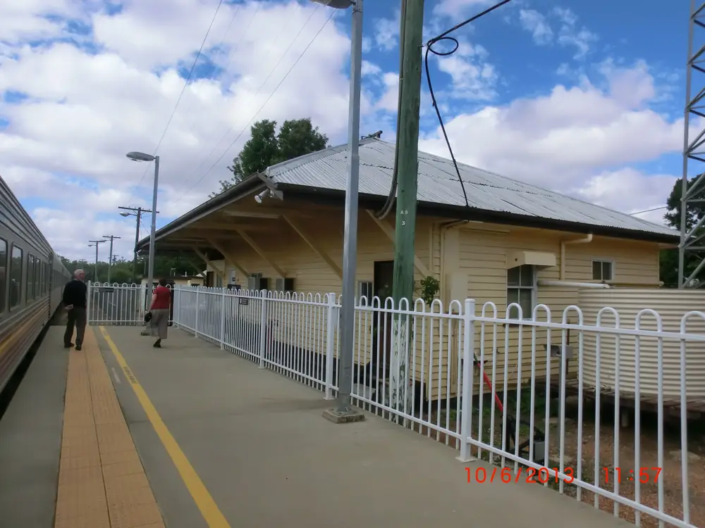
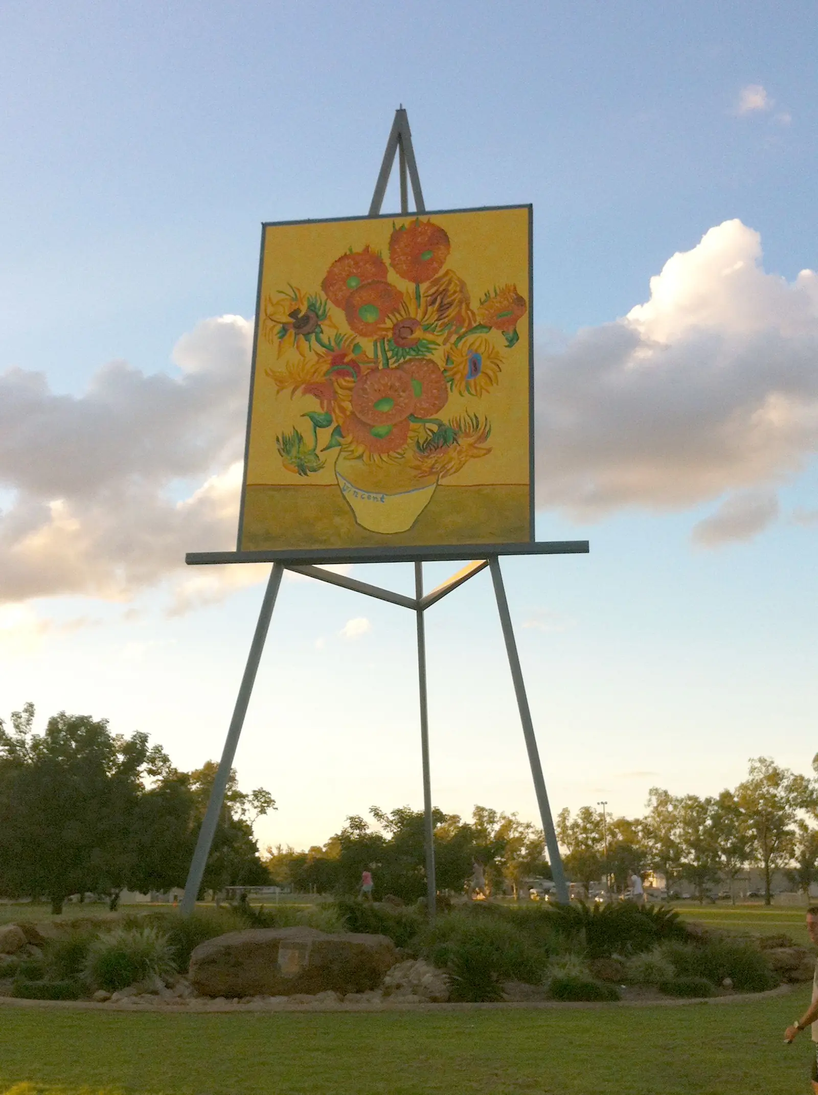
The platform at Alpha railway stationPhoto: Lobster1 · CC BY-SA 3.0 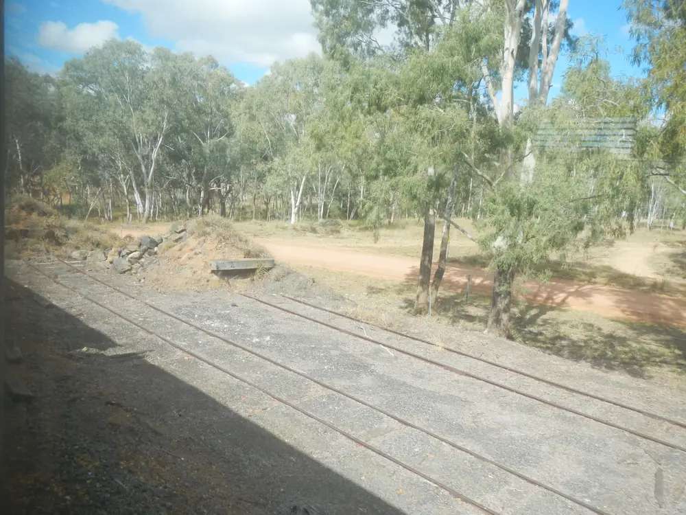
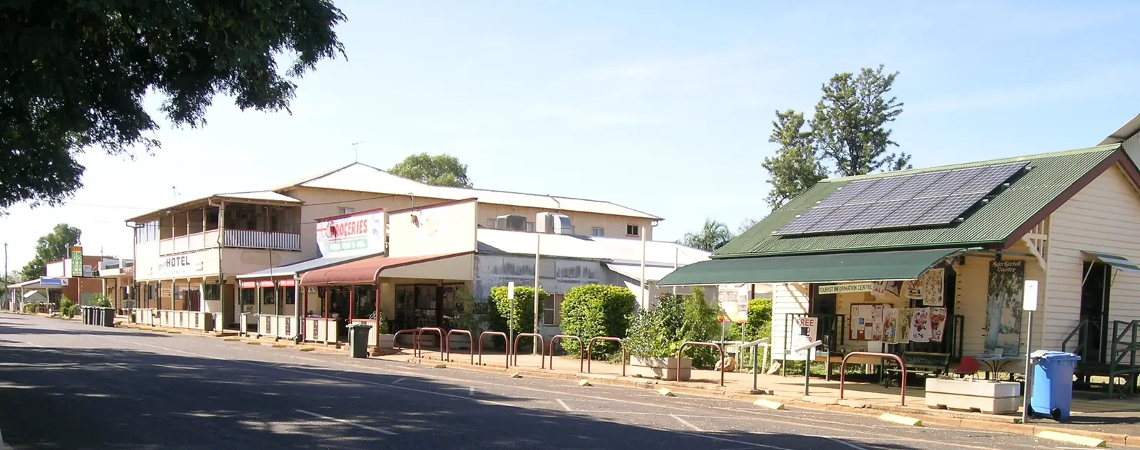
The rail siding at AlphaPhoto: Lobster1 · CC BY-SA 3.0
Alpha, Queensland — the Capricorn Highway town, not the Greek letter — sits in Barcaldine Region, west of Emerald and east of Jericho. Barcaldine Regional Council’s About our region page names Alpha among the five towns of the former Shires of Aramac, Barcaldine and Jericho. That is the shire fact: this is not Central Highlands Regional Council, even though this site files the town under the Capricorn and Burnett highway directory. Council’s Alpha page calls it the Gateway to the West and the Town of Murals. Search Alpha Qld if a search engine offers other Alphas first.
Use Alpha to walk the murals, see the Fossilised Forest sculpture, and break a sealed Capricorn Highway run between Emerald and Barcaldine. Nearby on this site: Jericho, Emerald, Barcaldine, and Clermont north of the Gemfields rather than on this highway.
Where it is, and how far
Alpha sits on the Capricorn Highway and on the Central Railway to Longreach, as Barcaldine Regional Council’s flood-mitigation study states. That study is the sourced distance table: approximately 170 km west of Emerald and 54 km east of Jericho. Council’s About our region page puts the Barcaldine Region approximately 440 km west of Rockhampton, covering 53,677 sq km, with an estimated regional population of 2,900. This hub does not invent an Alpha–Barcaldine kilometre that those pages do not publish.
| Place | Distance or time (official wording) |
|---|---|
| Emerald | approximately 170 km east (Barcaldine Regional Council flood-mitigation study) |
| Jericho | 54 km west (same study) |
| Barcaldine | west along the Capricorn Highway — no separate kilometre on the sourced Alpha pages |
| Rockhampton | Barcaldine Region about 440 km west of Rockhampton (council About our region) |
| Beta (historic railway settlement) | about 30 km west of Alpha, between Alpha and Jericho (Explore the Barcaldine Region Beta Hut page) |
The Gemfields at Anakie, Sapphire, Rubyvale and Willows sit east of this town, still in Central Highlands. Alpha is the Barcaldine Region service town after you leave that fossicking cluster. Clermont is a Gregory Highway / Isaac Region neighbour, not a Capricorn Highway twin.
Facts at a glance
The Australian Bureau of Statistics counted 259 people in the Alpha (L) urban centre at the 2021 Census (Urban Centres and Localities code UCL322002). Median age was 51. The sex split was 49.2% male and 50.8% female. 66 families, 183 private dwellings, average household size 2, median weekly household income $1,273. That UCL figure is the one to use for the town. The suburbs-and-localities geography Alpha (SAL30045) counted 559 people; do not mix the two. Explore the Barcaldine Region prints population 350 on the town page — a round tourism figure, not the Census. Read the ABS QuickStats page for Alpha (L).
Climate: Alpha Post Office (035000) is the named local Bureau of Meteorology station (rainfall list: 23.65°S, 146.64°E, commenced January 1887, rainfall record through March 2025). BOM’s Queensland monthly-statistics index fetched for this guide does not currently include that station. This hub therefore uses the nearest open published monthly table on the highway west of Emerald: Barcaldine Post Office (036007). Commenced 1886, elevation 267 m, status open. Hottest month by mean maximum: December 35.9 °C. Coolest: July 22.8 °C. Annual rainfall 499.3 mm (137 years, 1886–2026). To the east, Emerald Airport (035264) remains the Gemfields table: January mean maximum 34.6 °C, annual rainfall 558.7 mm. Do not average the two into a fake Alpha mean. See Alpha weather.
Visitor information: Alpha Tourist Information Centre, Rowley Roberts Information Centre, 43–45 Shakespeare Street, 0429 992 490, alphatourism@barc.qld.gov.au, Monday to Friday 9.00am to 1.00pm, weekends closed, on Explore the Barcaldine Region. Barcaldine Visitor Information Centre, 149 Oak Street, (07) 4651 5630, covers the region. Council switchboard (07) 4651 5600.
Traditional Owners
The Governor of Queensland’s 15 April 2024 Barcaldine Regional Council community reception acknowledged the Iningai people as Traditional Owners of the Barcaldine region. State Library of Queensland’s Iningai language note maps that language around Barcaldine, Muttaburra, Aramac, Cornish Creek and the Alice River — it does not print a separate Alpha-only nation on that page. This guide follows those official wordings rather than flattening Alpha Creek country to a single label without a council RAP of the kind Central Highlands publishes. Confirm plaque wording with the Alpha Tourist Information Centre.
History
Barcaldine Regional Council’s Alpha page: the town was named after an early property taken up in 1863, then became a service town for railway construction workers. Beef production is the major industry named on that page, with large coal deposits in the Galilee Basin mining precinct noted as a possible future change. Council’s flood-mitigation study records Alpha Creek flooding, including the April 1990 event (estimated maximum flood height 10.26 m at the town gauge; evacuation of seventy percent of the population). That is a hydrology fact for QLDTraffic days, not a visitor attraction.
Explore the Barcaldine Region’s Beta Hut page adds railway colour: the short-lived settlement of Beta, about 30 km west, between Alpha and Jericho; memorabilia covering the 1960 Medway Creek train crash and the 1941 Alpha Creek train crash. The display itself is in Shakespeare Street, Alpha, not at the old Beta townsite.
Things to do
Official visitor pages name a short main-street list. Confirm opening hours at 0429 992 490.
Town of Murals. Council’s Alpha page says 28 murals illustrating day-to-day bush life and pioneering history, painted by local and former resident artists. Explore the Barcaldine Region’s Alpha town page says 27 murals. This hub quotes both official counts rather than inventing a third.
Fossilised Forest Sculpture, Shakespeare Street — Cedar Creek artist Antone Bruinsma; a boulder opened to reveal petrified-wood country, on the Explore attraction page.
Tivoli Theatre Museum, 43–45 Shakespeare Street — the same address as the information centre. Explore notes a mural of a horseman at sunset as a later addition to the collection.
Jane Neville Rolfe Art Gallery, Dryden Street — local and other artists, including wood worker Bruce Cook. Contact the Alpha Tourist Information Centre to visit.
Beta Hut and Railway Memorabilia, 43–45 Shakespeare Street.
Settlers Park, Shakespeare Street — children’s play equipment, skate park, BBQ and toilets on the Explore page. The town page also names the New Bridge; this hub does not invent a walking-tour script for it. Ask at the information centre.
A fuller day order is on things to do in Alpha. Jericho’s Crystal Trumpeters and drive-in are the next west stop, not Alpha street furniture.
Where to stay
Explore the Barcaldine Region’s directory names Alpha Caravan Park, 1 Hooper Street, phone (07) 4985 1337, hours 8.00am to 5.00pm seven days (on-call after hours) on that listing. Council’s Alpha page says the town provides most facilities, shopping and services visitors need, without a ranked motel list.
This page does not invent extra motels, prices or ratings. If Alpha is full, Jericho is 54 km west on the flood-study figure and Emerald is approximately 170 km east.
- How to choose a type of stay: Alpha accommodation
- Caravan park and camping detail: Alpha caravan parks
- Empty listings slot and operator enquiries: feature your business
Caravan and camping
Vans use Alpha as a sealed Capricorn Highway overnight between Emerald and Barcaldine. The official named park in the regional directory is Alpha Caravan Park on Hooper Street. This hub does not invent a free camp on Alpha Creek. After rain, Alpha Creek is the constraint named in council’s flood study — check QLDTraffic rather than assuming the 170 km run to Emerald is always open. Read Alpha caravan parks and caravanning in the outback.
Jericho’s Redbank Park and Freedom of Choice Park are the next west camping types on official visitor pages — use the Jericho guides rather than treating them as Alpha overflow.
Fuel and services
Alpha’s urban centre counted 259 people. Council says most visitor facilities, shopping and services are here. This guide does not list bowser brands. Fill up if you are continuing west toward Jericho and Barcaldine, or east toward the Gemfields, because hours in a 259-person town are a same-day question. Hospital-scale services are not named on the sourced Alpha tourism pages as a 24-hour guarantee; ask the information centre. Council (07) 4651 5600.
Road access
The Capricorn Highway is the sealed spine (TMR network segments 16C Emerald–Alpha and 16D Alpha–Barcaldine on the 2022 state road network map). It is a freight road. Pull over for road trains. After rain on Alpha Creek, check QLDTraffic and 13 19 40. The flood-mitigation study exists because this town has gone under. Do not drive around closed signs.
East: Emerald, then the Anakie Gemfields turn, Duaringa and Rockhampton. West: Jericho, then Barcaldine and the Landsborough Highway for Longreach. North toward Clermont is not the Capricorn Highway; use QLDTraffic rather than an invented back-road kilometre. See wet season and road closures and kangaroos and driving safety.
A suggested outback Queensland road trip often uses this highway. The Great Inland Way meets the corridor at Emerald. This hub does not invent a current Spirit of the Outback passenger stop at Alpha.
Nearby parks and towns
Sites named in official visitor or council material:
- Town murals (28 on the council page; 27 on the Explore town page)
- Fossilised Forest Sculpture (Shakespeare Street)
- Tivoli Theatre Museum; Beta Hut (43–45 Shakespeare Street)
- Jane Neville Rolfe Art Gallery (Dryden Street)
- Settlers Park; New Bridge (named on the town page)
- Alpha Creek (flood-study hydrology, not a park listing)
There is no national park inside Alpha. Carnarvon Gorge remains a south-of-Emerald trip. The Gemfields are east, still in Central Highlands.
Towns on this site:
- Jericho — 54 km west; Crystal Trumpeters, Jordan River, drive-in
- Emerald — approximately 170 km east; supermarket and airport
- Barcaldine — Tree of Knowledge, west on the Capricorn Highway
- Clermont — north of the Gemfields, Isaac Region
- Anakie — Capricorn Highway Gemfields turn, east of this town
When to go, and how long
For comfortable mural walking, autumn and spring sit between Barcaldine Post Office’s December mean maximum (35.9 °C) and July (22.8 °C). Summer is the wetter half of that table (January 84.1 mm, February 79.5 mm). Alpha Creek flood history is why QLDTraffic matters more than a mean. See Alpha weather and best time to visit the outback.
Two hours covers the sculpture, a mural loop and the information-centre museums if they are open (weekday mornings on the published VIC hours). One night is the usual highway stop. Two nights only if you are adding Jericho’s drive-in (third Saturday on Outback Queensland’s listing) or waiting on a creek closure.
Operators who want a checked listing on this town page can use feature your business. Until then the listings slot stays empty on purpose.
Plan this trip
Tell us the dates, who you are travelling with and where you need help. We reply with planning notes for Alpha — we are not a booking agent.
Events and road-conditions newsletter
Occasional notes on outback festivals, race days and official road-condition sources — not a daily blast. We use these details only to send the newsletter.
Queensland · Barcaldine Region
Alpha accommodation
Where to stay in Alpha, Barcaldine Region: Alpha Caravan Park as named on Explore the Barcaldine Region, with Jericho and Emerald as fallbacks. Official directories, not a fake motel round-up.
Read · 3 min
Queensland · Barcaldine Region
Alpha caravan parks
Caravan parks and camping in Alpha, Barcaldine Region: Alpha Caravan Park as named by Explore the Barcaldine Region, creek-flood caution from council’s study, and Jericho river parks as the next west option.
Read · 3 min
Queensland · Barcaldine Region
Alpha weather
Alpha climate using BOM Barcaldine Post Office (036007): December mean maximum 35.9 °C, July 22.8 °C, annual rainfall 499.3 mm. Alpha Post Office (035000) is the named local station but is not on BOM’s monthly index.
Read · 4 min
Queensland · Barcaldine Region
Things to do in Alpha
Things to do in Alpha, Barcaldine Region: Town of Murals, Fossilised Forest sculpture, Tivoli Theatre Museum, Jane Neville Rolfe Art Gallery, Beta Hut and Settlers Park on official visitor pages.
Read · 4 min
Frequently asked questions
Is this Alpha the Queensland town or something else named Alpha?
This guide is Alpha, Queensland — a Barcaldine Region town on the Capricorn Highway west of Emerald. It is not a page about the Greek letter, software, or other Australian localities that share the name.
Which council is Alpha in — Barcaldine Region or Central Highlands?
Barcaldine Regional Council. Council’s About our region page lists Alpha and Jericho among the five towns of the former Shires of Aramac, Barcaldine and Jericho. Central Highlands Regional Council is the Gemfields / Emerald local government, further east.
How far is Alpha from Emerald and Jericho?
Barcaldine Regional Council’s Alpha Town Flood Mitigation Study puts Alpha on the Capricorn Highway approximately 170 km west of Emerald and 54 km east of Jericho. This page does not invent a separate Alpha–Barcaldine kilometre that study does not publish.
What is Alpha Qld’s population?
259 people at the 2021 Census for the Alpha (L) urban centre (UCL322002). Median age 51. The suburb/locality Alpha (SAL30045) counted 559 and is not the town count. Explore the Barcaldine Region prints 350 as a round figure that is not the Census.
Where is the visitor information in Alpha?
Alpha Tourist Information Centre (Rowley Roberts Information Centre), 43–45 Shakespeare Street. Phone 0429 992 490, alphatourism@barc.qld.gov.au. Open Monday to Friday 9.00am to 1.00pm; weekends closed, on Explore the Barcaldine Region’s visitor-centre page. Confirm hours before you arrive.
When is the best weather in Alpha?
BOM does not currently list Alpha Post Office (035000) on its Queensland monthly-statistics index. The nearest open station with a published monthly table on this highway west of Emerald is Barcaldine Post Office (036007): December mean maximum 35.9 °C, July 22.8 °C, annual rainfall 499.3 mm. Treat those as Barcaldine figures. Emerald Airport (035264) is the nearest open table to the east.
Sources and further reading
Facts on this page were checked against these primary and official sources. Conditions change — confirm before you travel or buy.
- Alpha (L) 2021 Census QuickStats (UCL322002) — Australian Bureau of Statistics
- Alpha 2021 Census QuickStats (SAL30045) — Australian Bureau of Statistics
- Climate statistics for Barcaldine Post Office (036007) — Bureau of Meteorology
- Climate statistics for Emerald Airport (035264) — Bureau of Meteorology
- Barcaldine Regional Council — Alpha — Barcaldine Regional Council
- Barcaldine Regional Council — About our region — Barcaldine Regional Council
- Alpha Town Flood Mitigation Study Volume 1 — Barcaldine Regional Council
- Explore the Barcaldine Region — Alpha — Barcaldine Regional Council
- Explore the Barcaldine Region — Visitor Information Centres — Barcaldine Regional Council
- The Fossilised Forest Sculpture — Barcaldine Regional Council
- Tivoli Theatre Museum — Barcaldine Regional Council
- Jane Neville Rolfe Art Gallery — Barcaldine Regional Council
- Beta Hut and Railway Memorabilia — Barcaldine Regional Council
- Settlers Park — Barcaldine Regional Council
- QLDTraffic — Queensland Government