At a glance
Sourced facts only. Distances and services change — confirm before you travel.
- Local government
- Barcoo Shire
- Nearest regional city
- 151 km from Longreach on the Thomson Development Road (Outback Queensland). Stay list also prints Windorah 134 km and Longreach parks 141 km.
- Mobile coverage
- Check Telstra and Optus coverage maps before travel; do not assume a signal.
- Best time to visit
- May–September on Longreach Aero cooler mean maxima
Climate
Monthly means from the Bureau of Meteorology station Longreach Aero (036031). This is not a forecast. Open. Labelled neighbour table, 151 km on Outback Queensland — Stonehenge (037040) is rainfall-only. Do not blend. Commenced 1949. Elevation 192 m.
| Month | Mean max (°C) | Mean min (°C) | Rainfall (mm) |
|---|---|---|---|
| Jan | 37.3 | 23.4 | 76.1 |
| Feb | 36.0 | 22.7 | 77.9 |
| Mar | 34.8 | 20.6 | 58.0 |
| Apr | 31.6 | 16.6 | 34.0 |
| May | 27.1 | 12.1 | 22.6 |
| Jun | 23.9 | 8.4 | 18.2 |
| Jul | 23.7 | 7.3 | 18.2 |
| Aug | 26.3 | 8.7 | 10.7 |
| Sep | 30.5 | 12.9 | 11.4 |
| Oct | 34.3 | 17.3 | 23.2 |
| Nov | 36.4 | 20.3 | 29.8 |
| Dec | 37.7 | 22.4 | 52.3 |
Stonehenge in pictures
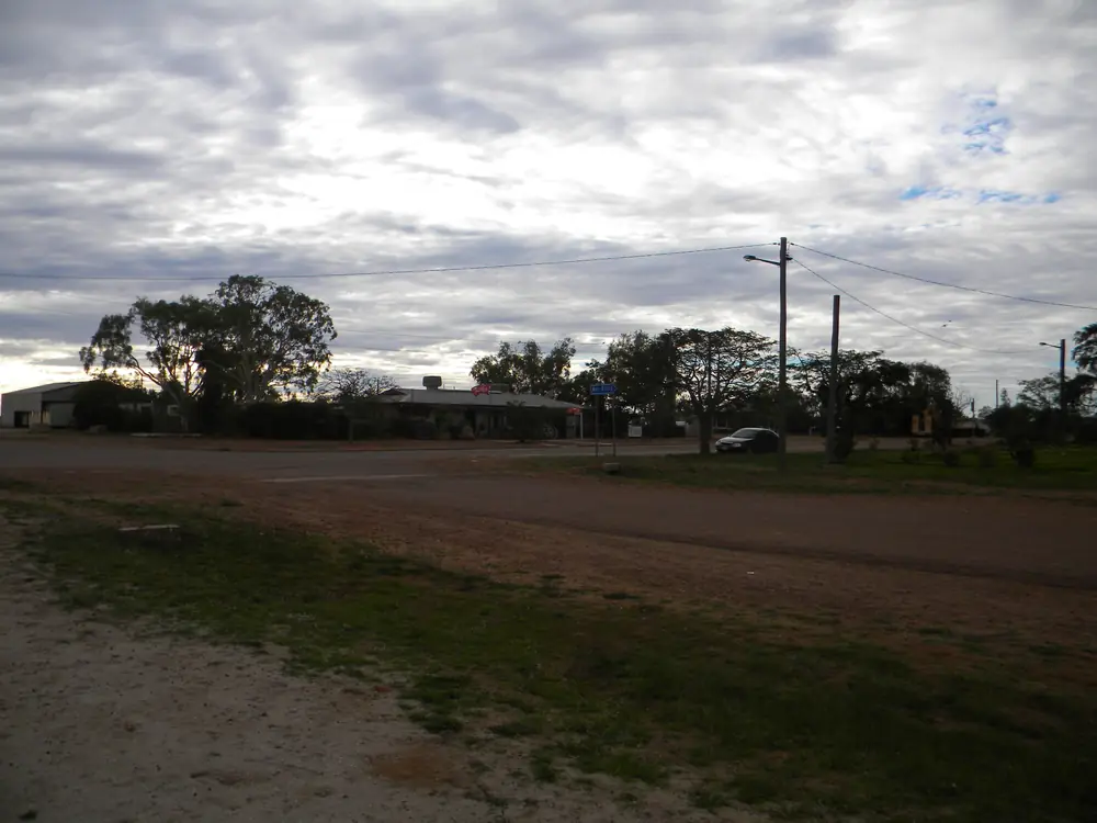
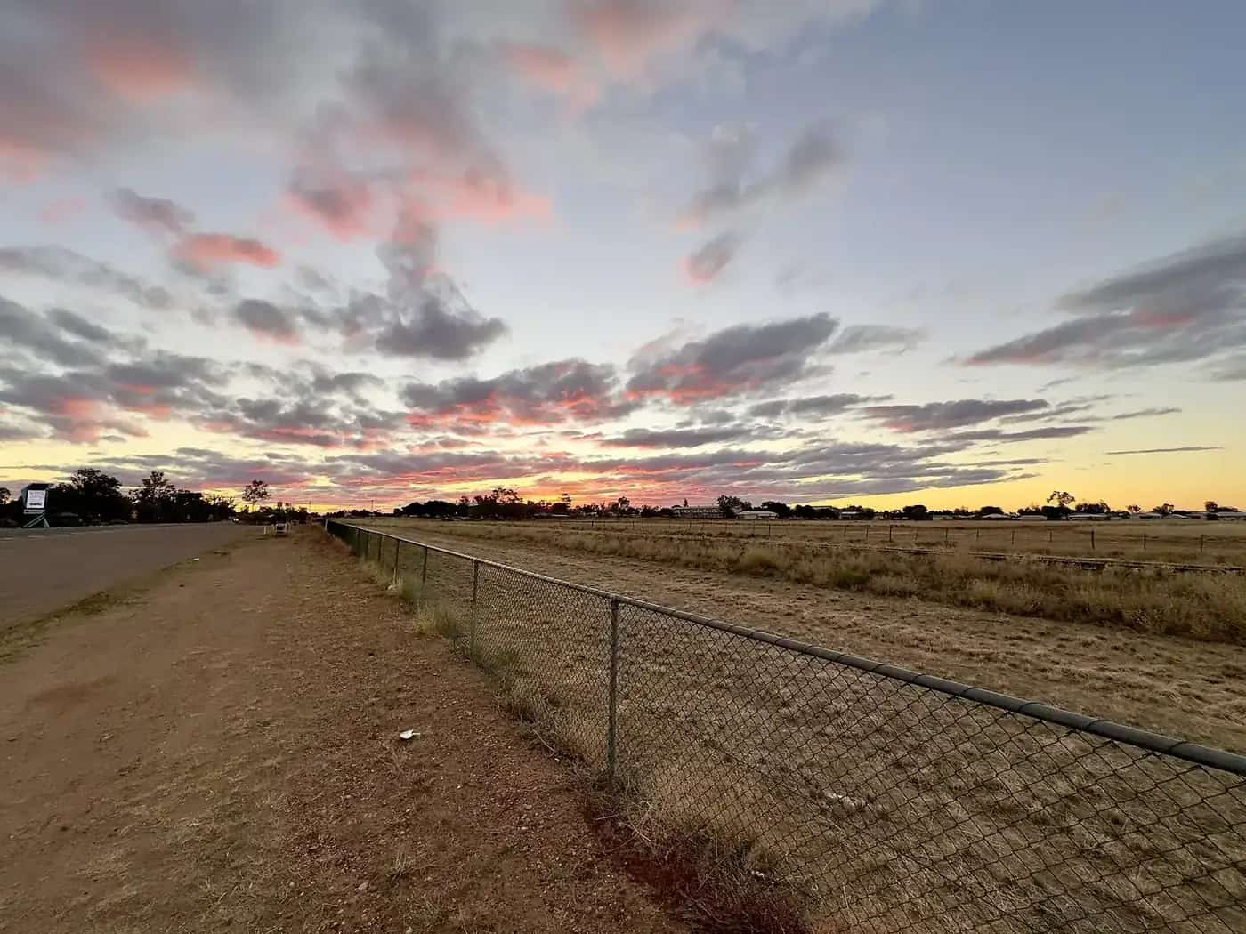
Stonehenge StreetPhoto: Lobster1 · CC BY-SA 3.0 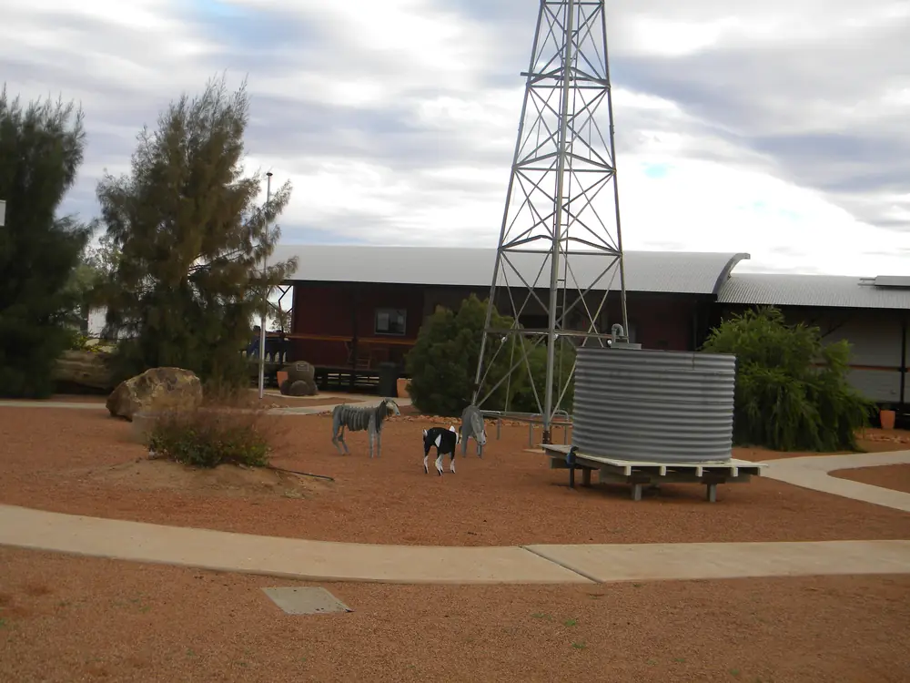
Windmill in StonehengePhoto: Lobster1 · CC BY-SA 3.0 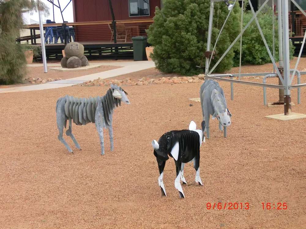
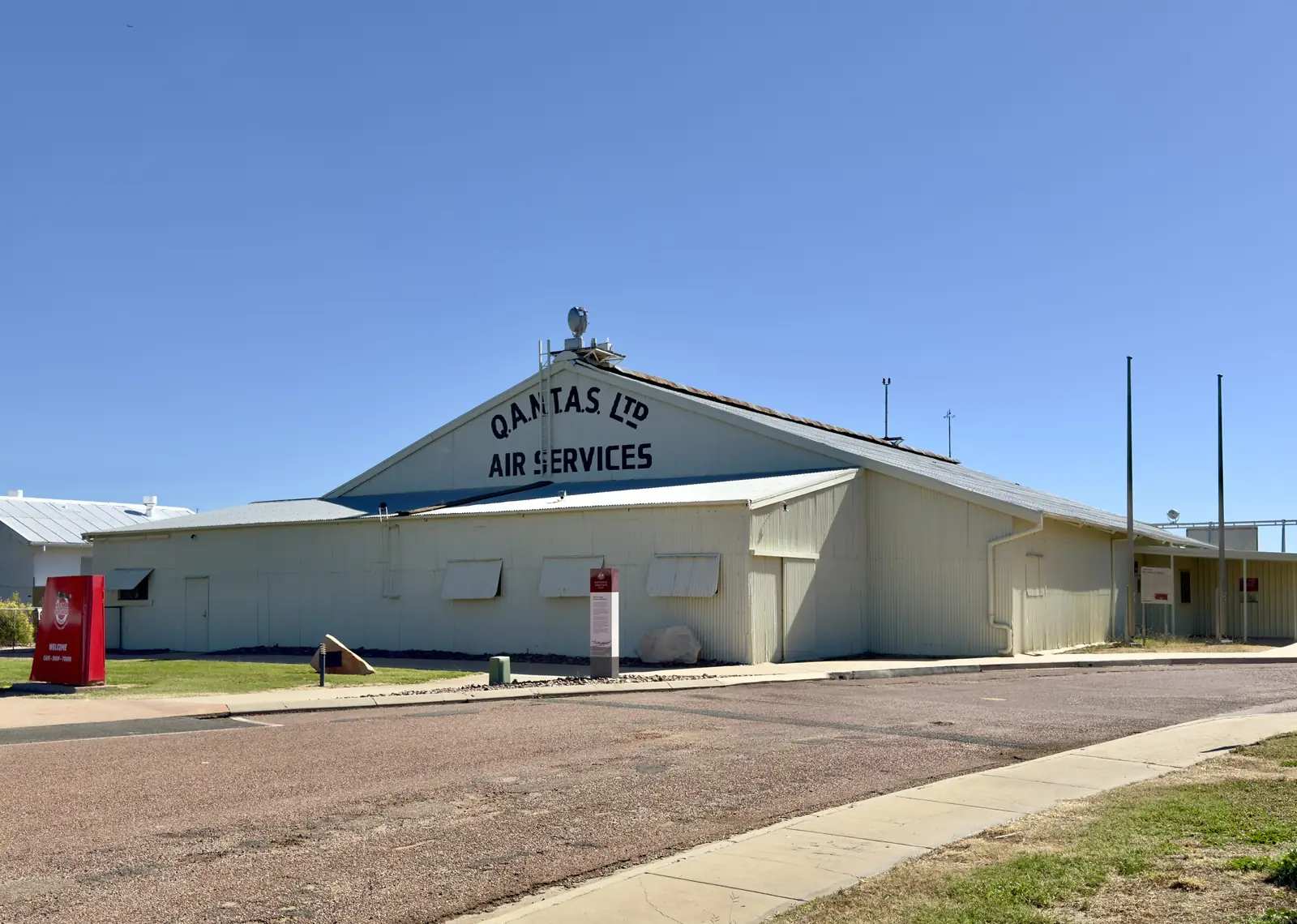
Animal Sculptures in StonehengePhoto: Lobster1 · CC BY-SA 3.0 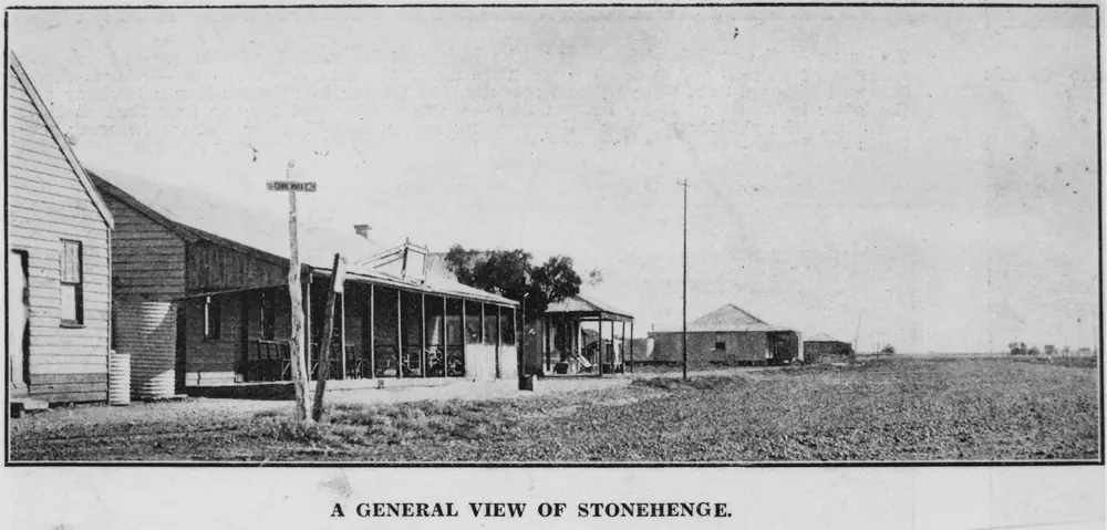
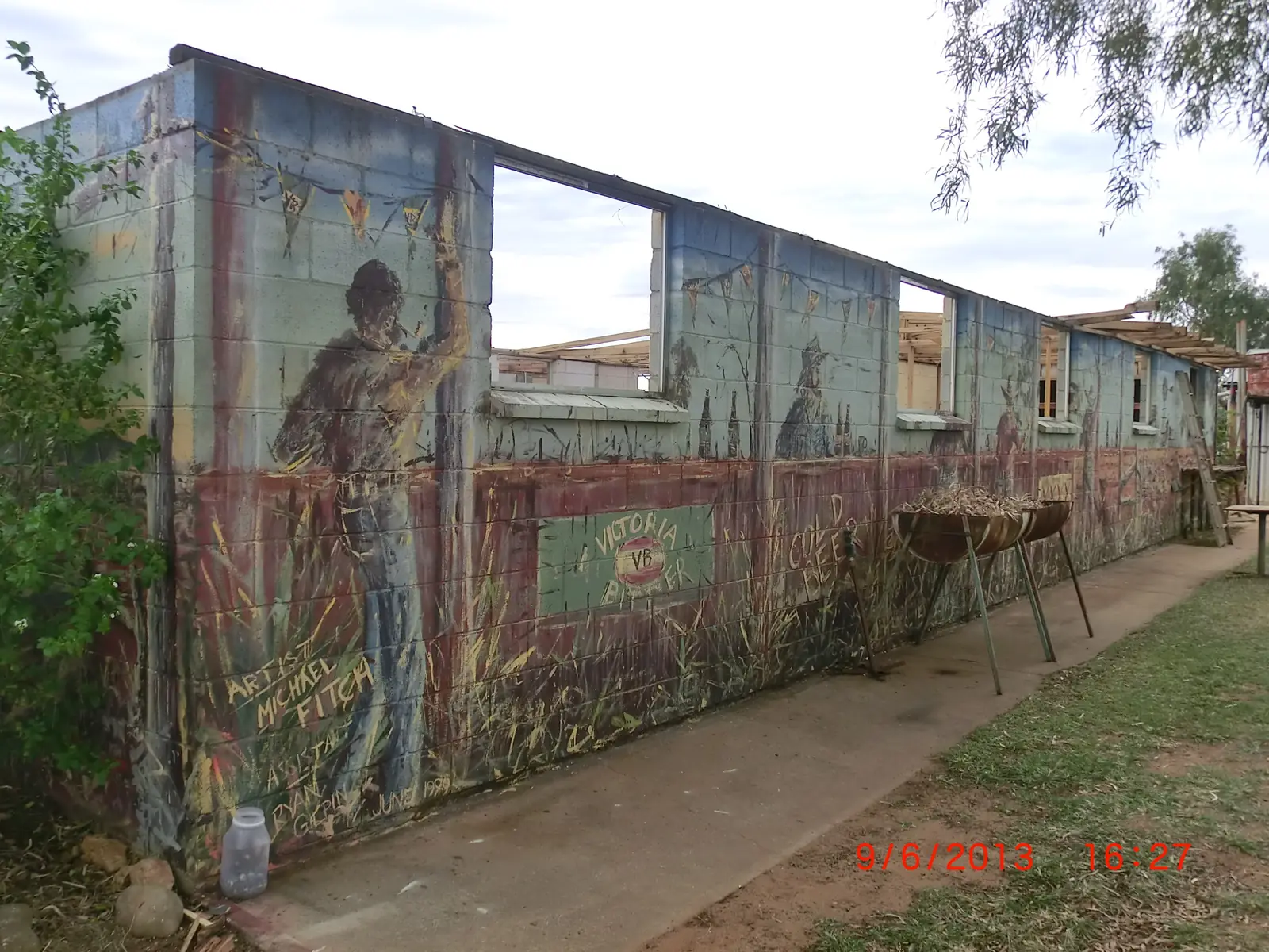
A view of Stonehenge, QueenslandPhoto: Unknown authorUnknown author · Public domain
This is Stonehenge, Queensland, in Barcoo Shire, on the Thomson Developmental Road through Channel Country. It is not the prehistoric stone circle in Wiltshire, England, and it is not the Darling Downs locality the ABS labels Stonehenge (Toowoomba - Qld). Outback Queensland puts this Barcoo town 151 km from Longreach on the Thomson Development Road, close to the Thomson River and just out of flood reach. Barcoo Shire Council names Jundah, Stonehenge and Windorah as the shire’s towns. This hub is the Queensland Channel Country stop. If you typed the name looking for trilithons, you are on the wrong continent.
The Australian Bureau of Statistics does not publish a 2021 Urban Centre (UCL) named Stonehenge. Use suburbs-and-localities SAL32668, Stonehenge (Barcoo - Qld): 58 people, median age 37, sex split 57.1% male / 42.9% female. QuickStats also prints 14 families and 40 private dwellings, and notes limited tables because of the small population. Do not paste figures from SAL32669 (Toowoomba). Travellers stop for the stone Address Book, XXXX Hill, the John Egan Pioneer Track, Swanvale Lookout and the Thomson.
The Thomson Developmental Road is sealed through this corridor in ordinary weather. You still need QLDTraffic after rain, because a 151 km run to Longreach is no use if Channel Country floodwater has closed the road.
Where it is, and how far
Stonehenge sits on the Thomson Developmental corridor between Longreach and Jundah, with Windorah further south in the same shire. Visit Barcoo’s Stonehenge page repeats the 151 km Longreach figure and places the town close to the Thomson. This hub does not invent a Stonehenge–Jundah kilometre that is not on those pages. Visit Barcoo only says Swanvale Lookout sits half way between Stonehenge and Jundah.
Outback Queensland’s Stonehenge stay list prints kilometre figures to named Windorah and Longreach stays. This hub uses those as sourced bands, not as a promise that a particular motel is open.
| Place | Distance from Stonehenge (sourced) |
|---|---|
| Longreach | 151 km on the Thomson Development Road (Outback Queensland town page); named Longreach parks 141 km on the stay list |
| Windorah | 134 km (Outback Queensland stay list: Western Star Hotel/Motel and Windorah Caravan Park) |
| Jundah | not printed as a single Stonehenge kilometre on the pages used; Swanvale Lookout is the named halfway rest |
| Stonehenge Address Book | 2 km toward Longreach (Visit Barcoo) |
| Rock Holes | less than 6 km (Outback Queensland and Visit Barcoo) |
| John Egan Pioneer Track | 8 km 4WD loop (Visit Barcoo) |
Blackall and Muttaburra are central-west neighbours on this site, not Stonehenge suburbs. Use Longreach as the service-town junction if you are joining this road from the Matilda Way.
Facts at a glance
Population. ABS 2021 Census, Suburbs and Localities SAL32668 Stonehenge (Barcoo - Qld): 58 people. Median age 37. 14 families, 40 private dwellings. No UCL. Use the Stonehenge (Barcoo) SAL QuickStats. Ignore SAL32669.
Climate. Bureau of Meteorology’s Queensland rainfall list (product IDCJMC0014, 17 November 2026) records STONEHENGE, 037040 at about 24.35°S, 143.29°E, June 1921–February 2014. BOM does not publish a monthly climate-averages table for that site. The nearest published table on the same Thomson corridor is Longreach Aero, 036031, commenced 1949, elevation 192 m, January mean maximum 37.3 °C, December 37.7 °C, July 23.7 °C, July mean minimum 7.3 °C, annual rainfall 432.7 mm (67 years, 1949–2026). Full columns: BOM Longreach Aero. The Barcoo southern table is Windorah Evap, 038024, 134 km on the stay list: January mean maximum 38.1 °C, July 21.4 °C, annual rainfall 290.9 mm. See Stonehenge weather.
Visitor information. Stonehenge Visitor Information Centre, Stratford Street. Barcoo Shire’s information-centre listing: (07) 4658 5857, stonehengeinfo@barcoo.qld.gov.au. Visit Barcoo’s library page prints Monday–Friday 8 am–2 pm, except fortnightly RFDS Wednesdays 11.30 am–5 pm, Saturday and Sunday closed, and phone (07) 4651 8101. Visit Barcoo’s things-to-do sidebar also prints Monday–Friday 9 am–3 pm. This hub quotes both official pages rather than inventing one timetable. Barcoo Shire Council itself is at 6 Perkins Street, Jundah, (07) 4658 6900.
Traditional Owners
Visit Barcoo’s visitor material publishes an Acknowledgement of Country for the traditional owners of the Barcoo Shire region and asks travellers to respect the land and its traditions, leaving country as they find it. Neither the Stonehenge things-to-do page nor the Barcoo information-centre listing names a single nation for the Stonehenge townsite only. This hub follows that wording rather than flattening Channel Country nations onto one label. Confirm a sentence you want on a plaque with the Stonehenge Visitor Information Centre.
History
Outback Queensland and Visit Barcoo tell the same origin story for the Stonehenge Address Book: a mailman — Visit Barcoo names Mr Johnny Weston — was stranded by a broken-down truck and wrote Jundah in stones while waiting to be rescued. Travellers have added names and places in stone beside the road ever since. Both pages ask you not to remove stones already in use.
Visit Barcoo’s John Egan Pioneer Track listing names John Egan as a local war hero who served in the Second World War in Egypt, Cyprus and Papua New Guinea. The track sits half way between the north and south Stonehenge exits on the road to Jundah.
Barcoo Shire’s about copy places the shire in Channel Country where the Thomson and Barcoo rivers meet to form Cooper Creek, and names Magee’s Shanty as the setting Banjo Paterson used for the Bush Christening. That is shire geography, not a claim that the shanty is in Stonehenge’s main street.
This is still a 58-person locality. Do not expect a reconstructed village or a ticketed museum hour that is not on the VIC pages.
Things to do
Stonehenge Address Book — Visit Barcoo: a 2 km drive from Stonehenge toward Longreach, on the left, on flat-top rock country. Write a name in stones. Do not raid existing letters.
XXXX Hill — Outback Queensland and Visit Barcoo: 360-degree views of the Thomson River flood plains and the Johnstone Ranges.
Rock Holes — less than 6 km; Visit Barcoo: toward Longreach, look for the remains of a white tyre in a tree like a back-to-front C, then the bush track. Ghost gums; holes fill with clear water after rain; locals swim then. This is not a permanent pool this hub will advertise in a dry month.
John Egan Pioneer Track — Visit Barcoo: 8 km 4WD, about 20 minutes driving, with time for smoko. Landscapes and views. Confirm the track is open after rain.
Swanvale Lookout — halfway to Jundah, at the top of the jump-up. East: Johnstone Ranges between the Thomson and Barcoo. West: Glenariff homestead and the Thomson tree line. Picnic tables and fire places on Outback Queensland’s page. Visit Barcoo: free camping.
Stonehenge Hotel — named by Outback Queensland for lunch and a cold drink, and by Barcoo Shire as the operator of the caravan park, (07) 4658 5944.
Thomson River — Outback Queensland: free camping, shady trees, birdwatching and fishing. Queensland fisheries rules apply.
See things to do in Stonehenge.
Welford National Park is a Jundah-side park (Queensland Parks puts it 45 km south of Jundah), not a Stonehenge main-street attraction. Use the Jundah guide and park alerts.
Where to stay
Barcoo Shire names:
- Stonehenge Caravan Park, Stratford Street — powered sites, tent sites, ablution block, barbecue, close to the community centre, diagonally across the road from the Stonehenge Hotel; operated by the hotel; (07) 4658 5944
Outback Queensland names the Stonehenge Hotel for a stop-over. Visit Barcoo names free camping at Swanvale Lookout. Outback Queensland names Thomson River free camping. Confirm at the VIC.
Outback Queensland’s stay list also prints Windorah stays at 134 km and Longreach parks at 141 km as nearby, not in-town.
- How to choose: Stonehenge accommodation
- Camping detail: Stonehenge caravan parks
- Operator enquiries: feature your business
If Stonehenge is full, Longreach is 151 km on the town page and Windorah is 134 km on the stay list. Those are distance facts, not booking guarantees.
Caravan and camping
Vans use Stonehenge as a quieter Thomson overnight than Longreach. Official named camps are the hotel caravan park, Swanvale Lookout free camping, and Thomson River camping as named by Outback Queensland. Ask the Stonehenge VIC for stay limits, dump points and whether the river bank is open. Read Stonehenge caravan parks and outback camping.
After rain, the Thomson is the constraint. QLDTraffic first.
Fuel and services
A locality of 58 people will not match Longreach for a hospital, supermarket or a bank of bowsers. This guide does not list bowser brands or invent a 24-hour roadhouse. Outback Queensland names the hotel for lunch and a drink. Confirm fuel and meals when you arrive; fill up in Longreach or Windorah if the VIC cannot confirm a bowser. For current questions, use Barcoo Shire Council and the Stratford Street VIC.
Road access
The Thomson Developmental Road is the sealed spine through Stonehenge between Longreach and Jundah. It is a remote Channel Country freight road. Pull over for road trains. After rain on the Thomson, check QLDTraffic and 13 19 40. Do not drive around closed signs to keep an Address Book photograph.
North: Longreach 151 km, then the Landsborough / Matilda Way choice toward Winton or Barcaldine. South: Jundah, then Windorah 134 km on the stay list, then Cooper Creek country. The John Egan Pioneer Track is a named 4WD loop off this corridor, not a shortcut around a closure.
Nearby parks and towns
Named nature sites:
- Thomson River banks (Outback Queensland)
- Rock Holes (less than 6 km)
- XXXX Hill and Swanvale Lookout (Visit Barcoo)
- Welford National Park — 45 km south of Jundah on Queensland Parks, not a Stonehenge kilometre
Towns on this site:
- Longreach — 151 km; Stockman’s Hall of Fame, Qantas Founders Museum
- Jundah — Barcoo Shire Museum, Settler’s Nature Drive, Welford approach
- Windorah — 134 km; Cooper Creek, sandhills
- Blackall — Matilda Way woolscour town
- Muttaburra — Muttaburrasaurus interpretation, further north-east on the downs
When to go, and how long
Longreach Aero’s December mean maximum of 37.7 °C and January 37.3 °C are hot for the Address Book or XXXX Hill at midday. July’s 23.7 °C mean maximum is the comfortable walking season on paper; July’s 7.3 °C mean minimum is why a river camp needs a layer. Annual rainfall 432.7 mm at Longreach Aero is wetter than Windorah Evap’s 290.9 mm; neither table is a permit to drive a closed developmental road. Two hours at the Address Book, hotel verandah and a lookout is the minimum. A night lets you use the hotel park if the VIC has confirmed it. Two nights only if you are adding the Pioneer Track, Swanvale camping, a Thomson camp and QLDTraffic agrees.
Operators who want a checked listing: feature your business. The listings slot on this hub stays empty until then.
Plan this trip
Tell us the dates, who you are travelling with and where you need help. We reply with planning notes for Stonehenge — we are not a booking agent.
Events and road-conditions newsletter
Occasional notes on outback festivals, race days and official road-condition sources — not a daily blast. We use these details only to send the newsletter.
Queensland · Central West
Stonehenge accommodation
Where to stay in Stonehenge, Queensland: Stonehenge Caravan Park named by Barcoo Shire, hotel stay, Swanvale Lookout camping. Confirm at the Stratford Street VIC.
Read · 3 min
Queensland · Central West
Stonehenge caravan parks
Camping in Stonehenge, Queensland: Stonehenge Caravan Park named by Barcoo Shire, Swanvale Lookout free camping and Thomson River camps. Confirm at the VIC.
Read · 3 min
Queensland · Central West
Stonehenge weather
Stonehenge climate: BOM station 037040 has no monthly averages table. Use Longreach Aero (036031), 151 km: January mean max 37.3 °C, July 23.7 °C, 432.7 mm rain.
Read · 5 min
Queensland · Central West
Things to do in Stonehenge
Things to do in Stonehenge, Queensland: stone Address Book, John Egan Pioneer Track, XXXX Hill, Rock Holes, Swanvale Lookout and the Thomson River. Not Wiltshire.
Read · 4 min
Frequently asked questions
Is this the Stonehenge in Wiltshire, England?
No. This guide is Stonehenge, Queensland, in Barcoo Shire on the Thomson Developmental Road. It is not the prehistoric monument in Wiltshire, and it is not the ABS locality Stonehenge (Toowoomba - Qld) SAL32669.
How far is Stonehenge from Longreach and Windorah?
Outback Queensland’s Stonehenge page puts the town 151 km from Longreach on the Thomson Development Road. The same organisation’s Stonehenge stay list prints named Windorah hotels and the Windorah Caravan Park at 134 km, and named Longreach parks at 141 km.
What is Stonehenge’s population?
58 people at the 2021 Census for Stonehenge (Barcoo - Qld) suburbs-and-localities (SAL32668). The ABS does not publish a 2021 Urban Centre (UCL) named Stonehenge. Do not use Stonehenge (Toowoomba - Qld) SAL32669.
Where is the visitor centre?
Barcoo Shire’s visitor-information listing places Stonehenge Visitor Information Centre on Stratford Street, phone (07) 4658 5857, stonehengeinfo@barcoo.qld.gov.au. Visit Barcoo’s library page prints different hours and phone (07) 4651 8101. Confirm before you rely on either.
Can I camp at Stonehenge?
Yes, as named types. Barcoo Shire names the Stonehenge Caravan Park on Stratford Street, operated by the Stonehenge Hotel, with powered sites, tent sites, an ablution block and a barbecue. Visit Barcoo names free camping at Swanvale Lookout. Confirm at the Stonehenge VIC and on QLDTraffic.
What is the weather like in Stonehenge?
BOM lists Stonehenge (037040) as a rainfall station but does not publish a monthly climate-averages table. Use Longreach Aero (036031), 151 km on Outback Queensland’s town page: January mean maximum 37.3 °C, July 23.7 °C, annual rainfall 432.7 mm.
Sources and further reading
Facts on this page were checked against these primary and official sources. Conditions change — confirm before you travel or buy.
- Stonehenge (Barcoo - Qld) 2021 Census QuickStats (SAL32668) — Australian Bureau of Statistics
- Climate statistics for Longreach Aero (036031) — Bureau of Meteorology
- Climate statistics for Windorah Evap (038024) — Bureau of Meteorology
- Outback Queensland — Stonehenge — Outback Queensland Tourism Association
- Visit Barcoo — Stonehenge things to do — Barcoo Shire Council
- Stonehenge Information Centre and Library — Barcoo Shire Council
- Visitor Information Centres — Barcoo Shire — Barcoo Shire Council
- Caravan Park — Stonehenge — Barcoo Shire Council
- QLDTraffic — Queensland Government