At a glance
Sourced facts only. Distances and services change — confirm before you travel.
- Local government
- Flinders Shire
- Traditional Owners
- Outback Queensland’s Torrens Creek town page and Visit Hughenden’s Torrens Creek pages used here do not name Traditional Owners for the township. Queensland Parks’ Moorrinya page names Yirendali Traditional Owners for that park south of town. This glance does not flatten the park sentence onto the hotel verandah.
- Nearest regional city
- Visit Hughenden: 88 km east of Hughenden (town page, visitor guide and getting-here table). QPWS: from Townsville, 296 km south-west to Torrens Creek on the Flinders Highway.
- Nearest fuel
- Visit Hughenden’s pubs page names fuel services at the Oasis Exchange Hotel. QPWS White Mountains: fuel and basic supplies 23 km west at Torrens Creek. Confirm the bowser on arrival; this hub does not invent a brand.
- Mobile coverage
- Check Telstra and Optus coverage maps before travel; QPWS says mobile coverage is not available at Moorrinya camping and is unreliable in White Mountains.
- Best time to visit
- QPWS Moorrinya: generally accessible May to September; park may be closed November to April. Hughenden Post Office (030024) January mean maximum 35.8 °C, July 25.0 °C. QLDTraffic after rain.
Climate
Monthly means from the Bureau of Meteorology station Hughenden Post Office (030024). This is not a forecast. Open. Labelled nearby temperature table — Torrens Creek (030051) is rainfall-only. Do not blend. Commenced 1884. Elevation 324 m. Annual mean rainfall 492.2 mm.
| Month | Mean max (°C) | Mean min (°C) | Rainfall (mm) |
|---|---|---|---|
| Jan | 35.8 | 22.5 | 114.5 |
| Feb | 34.7 | 22.1 | 98.0 |
| Mar | 33.7 | 20.5 | 58.2 |
| Apr | 31.3 | 17.0 | 26.0 |
| May | 27.9 | 13.2 | 17.8 |
| Jun | 25.0 | 9.8 | 18.6 |
| Jul | 25.0 | 8.8 | 11.6 |
| Aug | 27.5 | 10.4 | 7.9 |
| Sep | 31.1 | 14.0 | 9.0 |
| Oct | 34.5 | 18.0 | 22.3 |
| Nov | 36.1 | 20.5 | 36.0 |
| Dec | 36.9 | 22.0 | 71.1 |
Torrens Creek, Queensland sits in Flinders Shire on the Flinders Highway east of Hughenden and west of Pentland. Visit Hughenden and Outback Queensland are the sources for that placement. This is not Torrens in South Australia. Search Torrens Creek Qld if a search engine offers the South Australian name first. Outback Queensland’s own history is why the confusion exists: William Landsborough named the creek in 1862 after Sir Robert Torrens, Premier of South Australia.
Visit Hughenden puts the township 88 km east of Hughenden on the town pages, the 2024 visitor guide and the getting-here table. Queensland Parks: from Townsville, 296 km south-west to Torrens Creek on the Flinders Highway.
The 2021 Census counted 46 people in the locality. Visit Hughenden’s Three Must do’s page says a tiny population of 20. Use the Census for the count; treat the tourism figure as a VIC estimate of the township feel. Travellers stop for the Oasis Exchange Hotel, the general store, a graffiti gallery, and the roads to White Mountains and Moorrinya National Park. You still need QLDTraffic after rain.
Where it is, and how far
Torrens Creek is the Flinders Highway township east of Hughenden, on Visit Hughenden’s Overlander’s Way corridor — this site does not have a page at that marketing name, so the highway is linked through the towns it actually joins. Official pages used here do not print a Torrens Creek–Charters Towers kilometre. This hub does not invent one from Hughenden–Charters Towers 243 km.
| Place | Distance from Torrens Creek (official pages used here) |
|---|---|
| Hughenden | 88 km west (Visit Hughenden town pages, 2024 visitor guide, getting-here table) |
| Townsville | 296 km north-east on the Flinders Highway (QPWS Moorrinya visiting-safely page — that sentence is to Torrens Creek, not to the park) |
| Charters Towers | not published as a Torrens Creek kilometre. Visit Hughenden getting-here: Hughenden–Charters Towers 243 km |
| Pentland | not published as a Torrens Creek kilometre. QPWS White Mountains: fuel 23 km west at Torrens Creek and 27 km east at Pentland — print that wording; do not add 23+27 as a town-to-town kilometre |
| White Mountains National Park | QPWS: approximately 80 km east of Hughenden and 140 km west of Charters Towers on the Flinders Highway |
| Moorrinya National Park | QPWS: about 90 km south on the Aramac Torrens Creek Road; another 15.3 km from the park entrance to Shirley Shearing Shed camping area. From the south: 180 km north of Aramac |
| Prairie | not published as a Torrens Creek kilometre. Visit Hughenden getting-here: Hughenden–Prairie 44 km — that figure is from Hughenden, not from this town |
| Mount Isa | not published as a Torrens Creek kilometre. Visit Hughenden getting-here: Hughenden 519 km east of Mount Isa |
| Brisbane | not published on those pages |
Use QLDTraffic for the day you drive. Visit Hughenden’s road-conditions page: Torrens Creek–Aramac, first 35 km (approx) unsealed, then sealed double-lane road — a conditions question, not a sedan guarantee.
Facts at a glance
Population. Australian Bureau of Statistics 2021 Census, Suburbs and Localities SAL32860, Torrens Creek: 46 people. Median age 57. Sex split 49.0% male / 51.0% female. Families 12. Private dwellings 40. Average household size 1.8. Median weekly household income $1,125. Use the ABS SAL QuickStats page. The ABS does not publish a 2021 Urban Centre named Torrens Creek. Visit Hughenden’s “tiny population of 20” is a tourism line, not a substitute Census.
Climate. Bureau of Meteorology station TORRENS CREEK, 030051, opened 1893, status Open, 20.77°S, 145.02°E, elevation 465 m. The Climate Data Online monthly rainfall table fetched for this guide prints all-years means: annual 547.2 mm; January 123.8 mm wettest mean month; August 8.9 mm driest. Median annual 501.0 mm. Highest annual total in that table 1442.0 mm; lowest 123.2 mm. BOM does not publish a temperature climate-averages table for this site. For a Flinders Shire comparison table, use Hughenden Post Office, 030024, clearly labelled as a different station. See Torrens Creek weather.
Visitor information. Torrens Creek does not have its own visitor information centre on the Visit Hughenden pages used here. Use the Flinders Discovery Centre, 37 Gray Street, Hughenden, phone (07) 4741 2970, email info@flinders.qld.gov.au. Queensland Parks also lists the Charters Towers Visitor Information Centre, 74 Mosman Street, (07) 4761 5533, for Moorrinya and White Mountains.
Traditional Owners
Outback Queensland’s Torrens Creek town page and Visit Hughenden’s Torrens Creek pages used here do not name Traditional Owners for the township. Queensland Parks’ Moorrinya page: the word Moorrinya originates from the Yirendali Traditional Owners and refers to stands of native ironbark eucalypt; Yirendali People hold cultural and historical connections to the land where those trees grow. This site’s Hughenden hub names Yirandali Country for the Flinders Shire centre. This guide prints the park name as sourced and does not flatten it onto the Exchange Hotel verandah. Visit as a guest; see visiting Country respectfully.
History
Outback Queensland: the creek rises in the Great Dividing Range and runs southward to the Thomson River system to eventually run into Lake Eyre. William Landsborough discovered it in 1862 while searching for Burke and Wills, and named it after Sir Robert Torrens, Premier of South Australia. The Great North Railway reached Torrens Creek in 1885 and from then on it became the supply centre for a large district. Mailmen rode out to the north and south along routes still used today. The district’s most famous mailman, Jack Blunt, who served from 1931 to 1954, is honoured with a cairn and plaque erected by Torrens Creek residents.
Outback Queensland: in 1942 this little town was nearly blown apart when a huge allied ammunition dump exploded. Torrens Creek was in a vital position for a supply dump when the threat of Japanese invasion was apparent. Australian and American troops carried out regular controlled burns to create firebreaks. One summer day in 1942 a fire that was not properly extinguished caused a terrific explosion, which hurled men from their trucks. There were 12 major explosions in succession, sufficient to leave craters 20 feet deep. Visit Hughenden’s 2024 visitor guide repeats that wartime dump story in shorter form.
This hub does not invent a 1942 casualty list those pages do not print.
Things to do
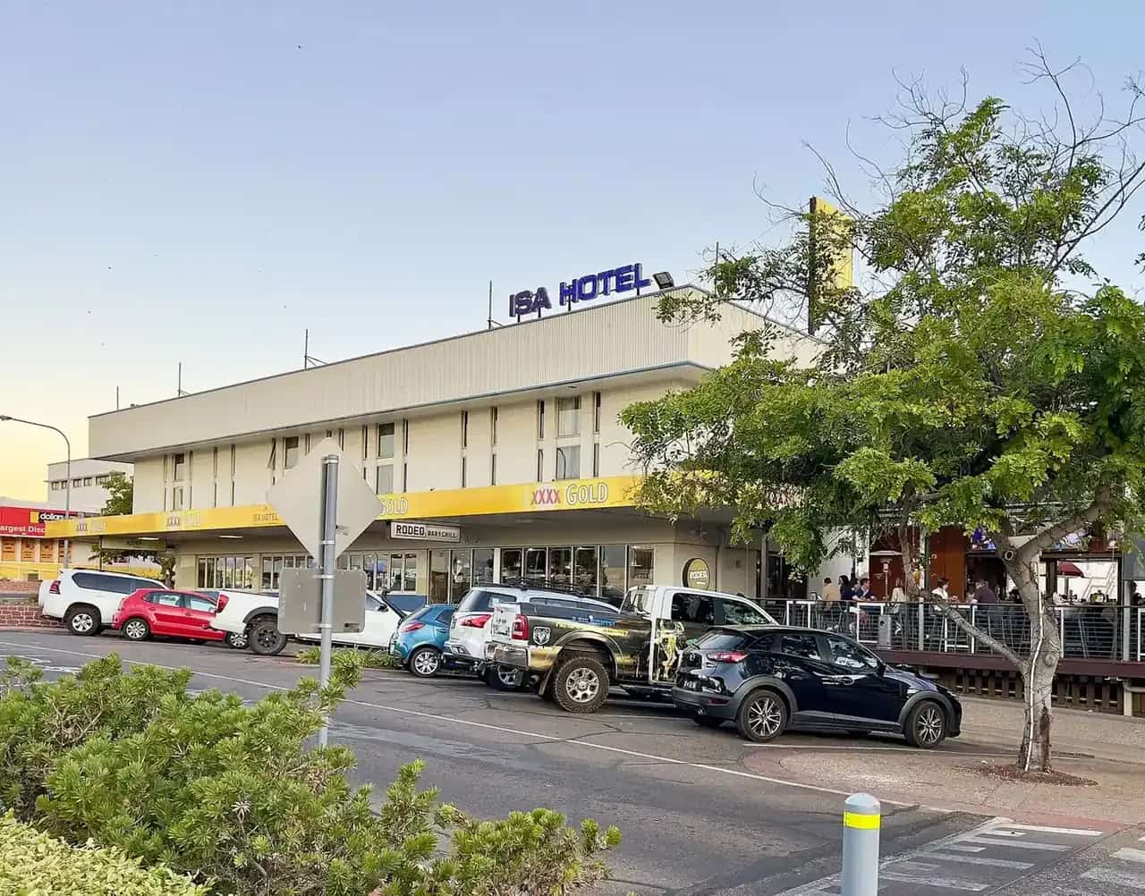
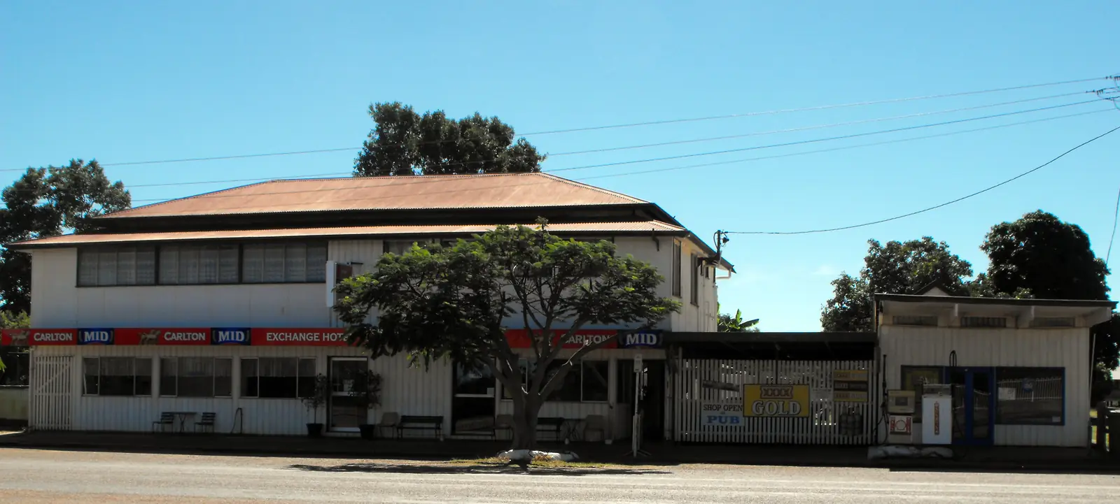
Oasis Exchange Hotel. Visit Hughenden names a genuine Aussie pub, meals, cold drinks, and a graffiti gallery — the custom of thousands of tourists. The pubs page: graffiti wall since 1991; ask the owners for a Niko pen; owners Priscilla and Col; air-conditioned bar; bistro; sports bar; pool and spa; camp kitchen and laundry. The 2024 visitor guide also names a golf course. Phone numbers on official pages disagree: 0407 948 296 in the visitor guide, (07) 4795 5990 on the Visit Hughenden business listing. Confirm. See Torrens Creek things to do.
General store. 2024 visitor guide: visit the General Store next door for sandwiches, rolls and salads as well as coffee and ice creams.
Riverbed murals. 2024 visitor guide: hidden mural artworks dotted within the riverbed. Ask at the pub rather than inventing a walking kilometre.
Jack Blunt cairn. Named on Outback Queensland’s town page.
White Mountains National Park. Outback Queensland and Visit Hughenden name the town as a base. QPWS: Burra Range lookout is 2WD on the Flinders Highway. Canns Camp Creek is 4WD. This site has no White Mountains park page — use parks.qld.gov.au.
Moorrinya National Park. About 90 km south, 4WD, former Shirley Station, gazetted 1993, 32,607 ha, 18 vegetation communities. This site has no Moorrinya park page — use parks.qld.gov.au.
Where to stay
Visit Hughenden names the Exchange Hotel for meals and rooms. The 2024 visitor guide: 8–10 powered sites, five motel rooms, seven hotel rooms, swimming pool and golf course. The pubs page adds unpowered sites. Queensland Parks names hotels, camping and caravan parks at Torrens Creek as a class for White Mountains visitors.
- How to choose a type of stay: Torrens Creek accommodation
- Parks and camping: Torrens Creek caravan parks
- Operator enquiries: feature your business
If Torrens Creek is full, Hughenden is 88 km west and Pentland is the next named Flinders Highway overnight toward Charters Towers. That is geography, not a booking guarantee.
Caravan and camping
Vans use Torrens Creek because it sits on the sealed Flinders Highway. Official named camping on the pages used here is the hotel’s powered and unpowered sites, plus QPWS camps at Canns Camp Creek (White Mountains) and Shirley Shearing Shed (Moorrinya). Confirm stay limits at the pub or the Flinders Discovery Centre. Read Torrens Creek caravan parks and outback camping.
After rain, the Flinders Highway and the Aramac–Torrens Creek Road are the constraint. January’s Torrens Creek rainfall mean of 123.8 mm is not a drizzle. QLDTraffic first.
Fuel and services
A locality of 46 people, and a VIC line of around 20, will not match Hughenden for a supermarket strip. Visit Hughenden’s pubs page names fuel services at the Exchange Hotel. QPWS White Mountains: fuel and basic supplies 23 km west at Torrens Creek (from the park). Confirm the bowser on arrival. This guide does not list brands or hours.
Visit Hughenden does not name a hospital in Torrens Creek. For anything beyond basic travel needs, use Hughenden 88 km west. Moorrinya QPWS: fuel and basic supplies at Torrens Creek, about 90 km north of the park; Hughenden about 178 km north-west of Moorrinya; Charters Towers about 250 km north-east of Moorrinya.
For current questions, use the Flinders Discovery Centre, (07) 4741 2970.
Road access
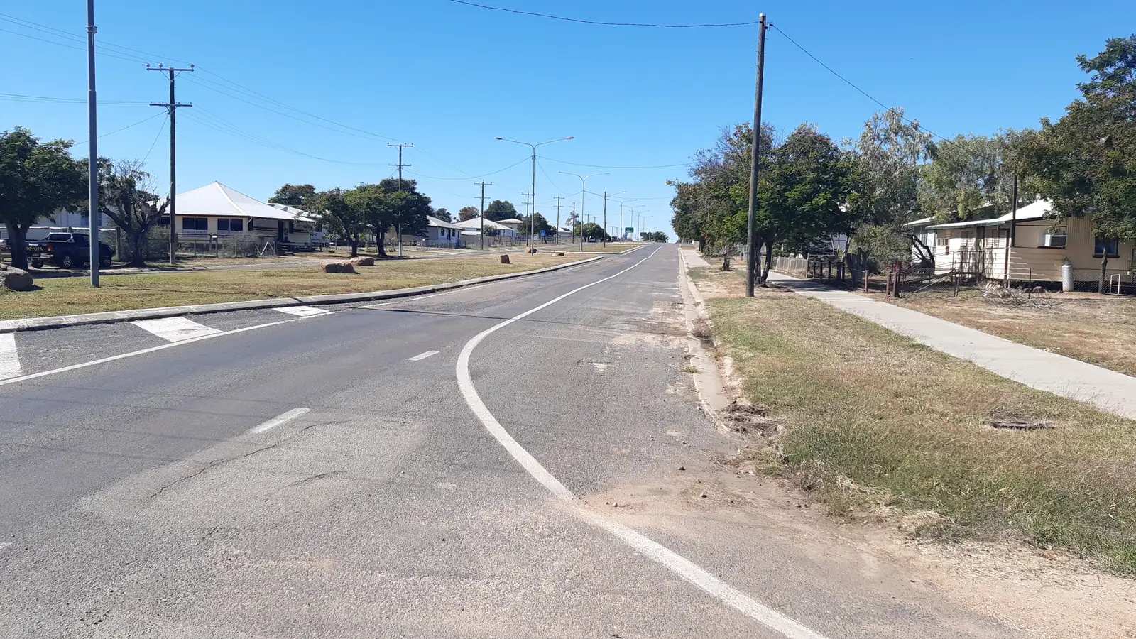
The Flinders Highway is the named sealed spine. Visit Hughenden’s getting-here page calls the Townsville–Mount Isa sealed run the Overlander’s Way and puts Hughenden 376 km west of Townsville and 519 km east of Mount Isa. Torrens Creek sits on that highway 88 km east of Hughenden. It is a freight road with wet-season floodways. Check QLDTraffic and 13 19 40.
East: toward Pentland and Charters Towers. West: Hughenden, then Prairie is west of Hughenden on the same highway — a Hughenden figure of 44 km, not a Torrens Creek figure. South: Aramac–Torrens Creek Road toward Moorrinya — first 35 km approx unsealed on Visit Hughenden’s road page.
Rail. Outback Queensland: the Great North Railway reached Torrens Creek in 1885. Treat the live Queensland Rail Travel timetable as the stop list; this hub does not invent a 2026 platform time. See outback by train.
Nearby parks and towns
Named nature sites (official pages):
- White Mountains National Park — QPWS; no site park page
- Moorrinya National Park — QPWS; no site park page
Towns on this site:
- Hughenden — 88 km west, Flinders Discovery Centre
- Prairie — west of Hughenden on the Flinders Highway
- Pentland — east on the Flinders Highway
- Charters Towers — further east
When to go, and how long
January’s Torrens Creek rainfall mean of 123.8 mm is the wet-season core on paper. August’s 8.9 mm is the driest month on that table. QPWS Moorrinya: generally accessible May to September; the park may be closed November to April. Hughenden Post Office’s January mean maximum of 35.8 °C is the nearby heat warning, not a Torrens Creek township mean.
Forty-five minutes at the hotel (if it is open) is the minimum. A night lets you use Torrens Creek as a Flinders Highway overnight if a room or site has been confirmed. Two nights if you are adding White Mountains when QPWS says the road is dry. Three nights only if Moorrinya is open and you have a 4WD and a camping permit.
Operators who want a checked listing: feature your business. The listings slot on this hub stays empty until then.
Plan this trip
Tell us the dates, who you are travelling with and where you need help. We reply with planning notes for Torrens Creek, Queensland (Flinders Highway) — we are not a booking agent.
Events and road-conditions newsletter
Occasional notes on outback festivals, race days and official road-condition sources — not a daily blast. We use these details only to send the newsletter.
Queensland · Outback North
Things to do in Torrens Creek
Things to do in Torrens Creek, Queensland: Oasis Exchange Hotel graffiti gallery, Jack Blunt cairn, riverbed murals, White Mountains and Moorrinya. Not Torrens SA.
Read · 4 min
Queensland · Outback North
Torrens Creek accommodation
Where to stay in Torrens Creek Qld: Visit Hughenden names Oasis Exchange Hotel motel and hotel rooms, powered sites and a pool. Confirm phone and vacancy. Not Torrens SA.
Read · 3 min
Queensland · Outback North
Torrens Creek caravan parks
Camping in Torrens Creek Qld: Visit Hughenden names powered and unpowered sites at the Oasis Exchange Hotel. QPWS names Moorrinya and Canns Camp Creek. Confirm before you unhitch. Not Torrens SA.
Read · 3 min
Queensland · Outback North
Torrens Creek weather
Torrens Creek climate from BOM station 030051: annual mean rainfall 547.2 mm, January 123.8 mm, August 8.9 mm. No local temperature table — Hughenden Post Office is labelled nearby. Not Torrens SA.
Read · 4 min
Frequently asked questions
Is this Torrens Creek in Queensland or Torrens in South Australia?
This hub is Torrens Creek, Queensland, in Flinders Shire on the Flinders Highway 88 km east of Hughenden. Outback Queensland says William Landsborough named the creek in 1862 after Sir Robert Torrens, Premier of South Australia. The South Australian name is the source of the creek name, not a second town page.
How far is Torrens Creek from Hughenden and Charters Towers?
Visit Hughenden’s Torrens Creek pages, 2024 visitor guide and getting-here table put the town 88 km east of Hughenden. The same getting-here table lists Hughenden–Charters Towers 243 km; it does not print a Torrens Creek–Charters Towers kilometre. QPWS: from Townsville, 296 km south-west to Torrens Creek.
What is Torrens Creek’s population?
46 people at the 2021 Census for Torrens Creek (Qld) suburbs-and-localities (SAL32860). Median age 57. Visit Hughenden’s Three Must do’s page says a tiny population of 20; that is a tourism estimate, not the Census count. The ABS does not publish a 2021 Urban Centre named Torrens Creek.
What is the weather like in Torrens Creek?
BOM Torrens Creek (030051) monthly rainfall means: annual 547.2 mm, January 123.8 mm wettest, August 8.9 mm driest. Station opened 1893, status Open. BOM does not publish a temperature climate-averages table for this station. Hughenden Post Office (030024) is the labelled nearby temperature table.
Can I stay at the Exchange Hotel?
Yes, as named types. Visit Hughenden’s 2024 visitor guide names 8–10 powered sites, five motel rooms, seven hotel rooms, a swimming pool and a golf course. The pubs page also names unpowered sites, fuel, a graffiti gallery since 1991 and owners Priscilla and Col. Phone numbers on official pages disagree: 0407 948 296 in the visitor guide and (07) 4795 5990 on the business listing. Confirm before you unhitch.
How do I get to Moorrinya National Park from Torrens Creek?
Queensland Parks: about 90 km south of Torrens Creek on the Aramac Torrens Creek Road, 4WD recommended. From the park entrance it is another 15.3 km to Shirley Shearing Shed camping area. The park may be closed November to April. This site has no Moorrinya park page — use parks.qld.gov.au.
Sources and further reading
Facts on this page were checked against these primary and official sources. Conditions change — confirm before you travel or buy.
- Torrens Creek 2021 Census QuickStats (SAL32860) — Australian Bureau of Statistics
- Monthly rainfall — Torrens Creek (030051) — Bureau of Meteorology
- Climate statistics for Hughenden Post Office (030024) — Bureau of Meteorology
- Outback Queensland — Torrens Creek — Outback Queensland Tourism Association
- Three Must do’s at Torrens Creek — Flinders Shire Council (Visit Hughenden)
- Outback Queensland Pubs of Hughenden — Flinders Shire Council (Visit Hughenden)
- Hughenden visitor guide 2024 — Flinders Shire Council (Visit Hughenden)
- Visit Hughenden — Getting here — Flinders Shire Council (Visit Hughenden)
- Moorrinya National Park — about — Queensland Parks and Wildlife Service
- Moorrinya National Park — visiting safely — Queensland Parks and Wildlife Service
- White Mountains National Park — visiting safely — Queensland Parks and Wildlife Service
- QLDTraffic — Queensland Government