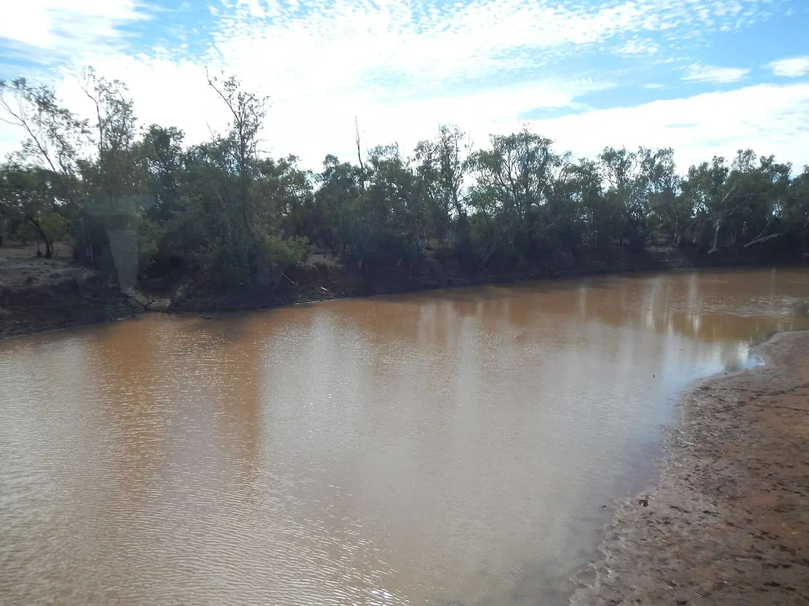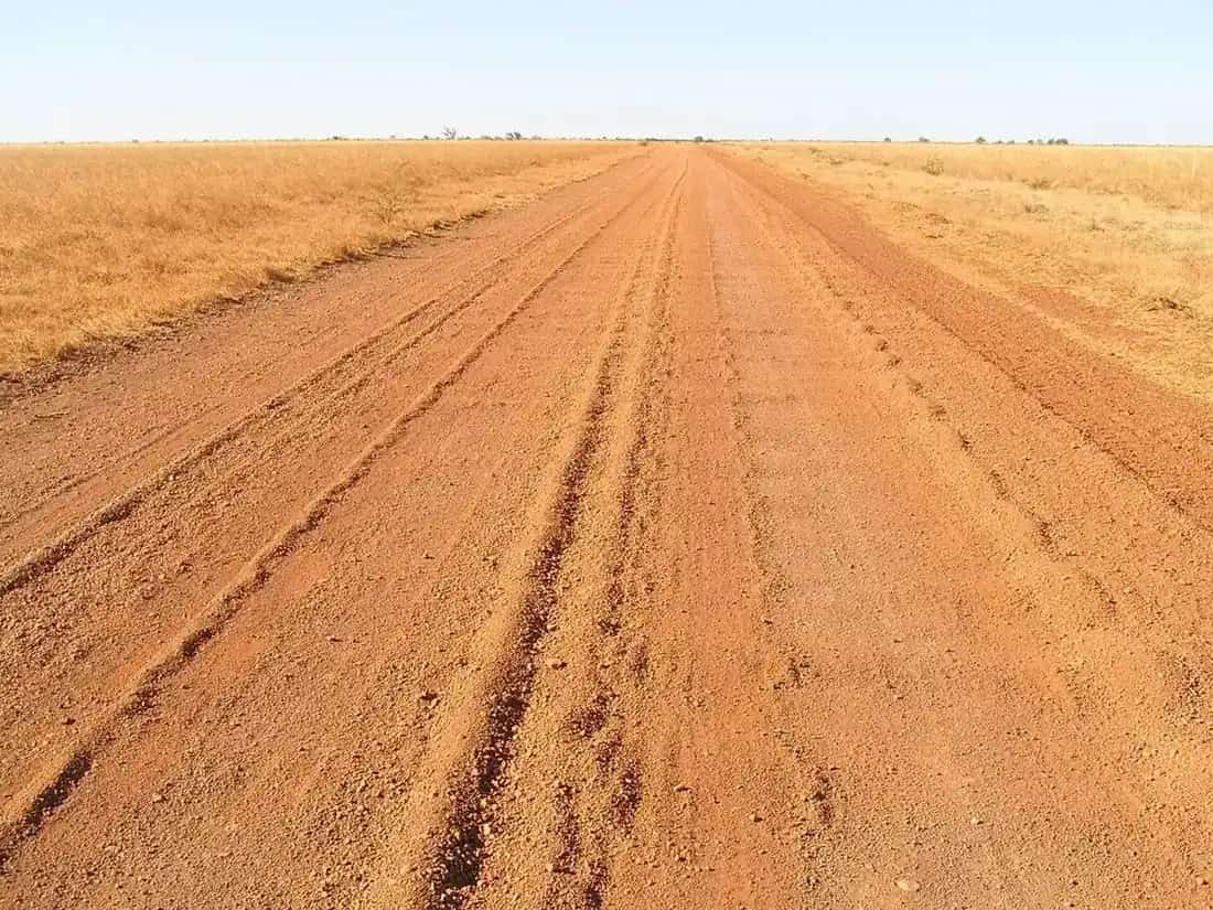
Outback north Queensland, as this directory uses the name, covers two landscapes that travellers often join in one trip. Inland, the Flinders and Barkly highways cross Mitchell grass and mining country through Hughenden, Richmond, Julia Creek, Cloncurry, Mount Isa and Camooweal. North of that line, the Gulf Country — also promoted as the Gulf Savannah — drops to tropical rivers and the Gulf of Carpentaria at Normanton, Karumba, Burketown and Croydon. Cape York and gold-country stops now have town guides: Weipa, Mareeba, Cooktown and Charters Towers.
Inland: mines, fossils and the Flinders Highway
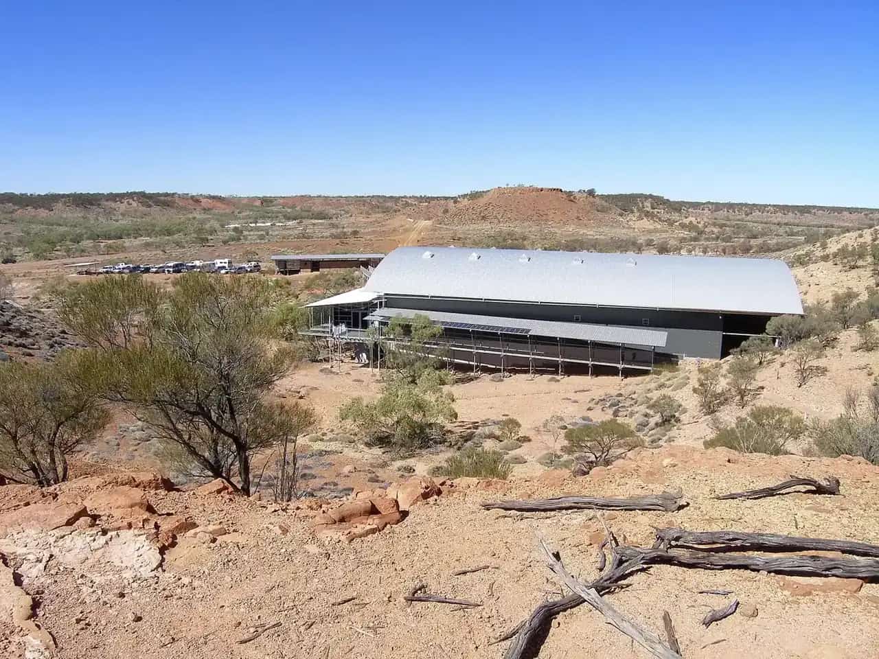
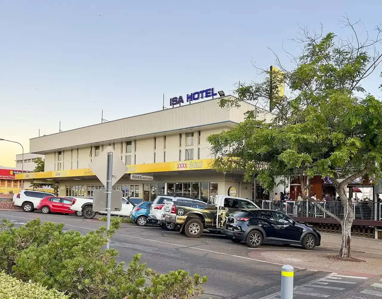
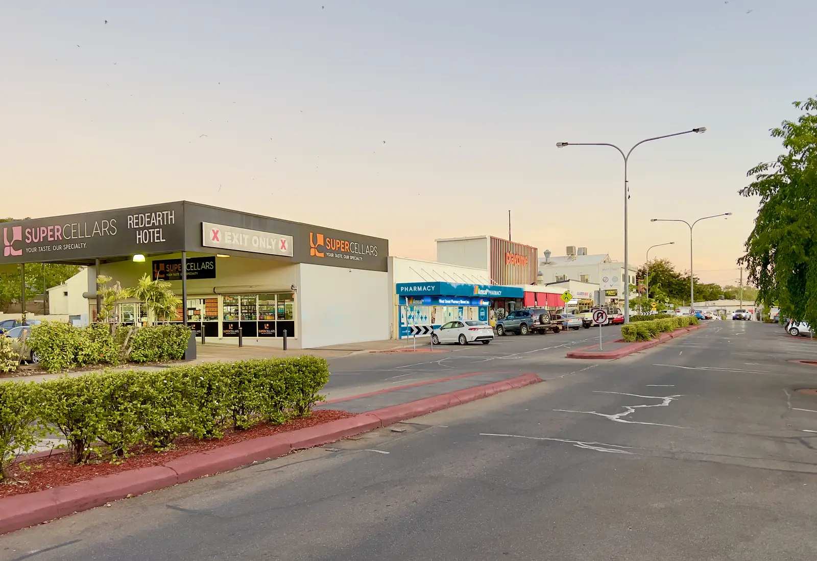
- Mount Isa is the region's city. John Campbell Miles found the mineral deposit in February 1923; Mount Isa Mines Ltd was established in January 1924. Outback at Isa offers the Hard Times Mine tour and the Riversleigh Fossil Centre. The Mount Isa Rodeo is held in August. Lake Moondarra and the city lookout are free stops. Mount Isa City Council puts Townsville about 883 km east and Brisbane about 1,829 km away. It is the usual base for Boodjamulla (Lawn Hill) and the Riversleigh World Heritage fossil fields.
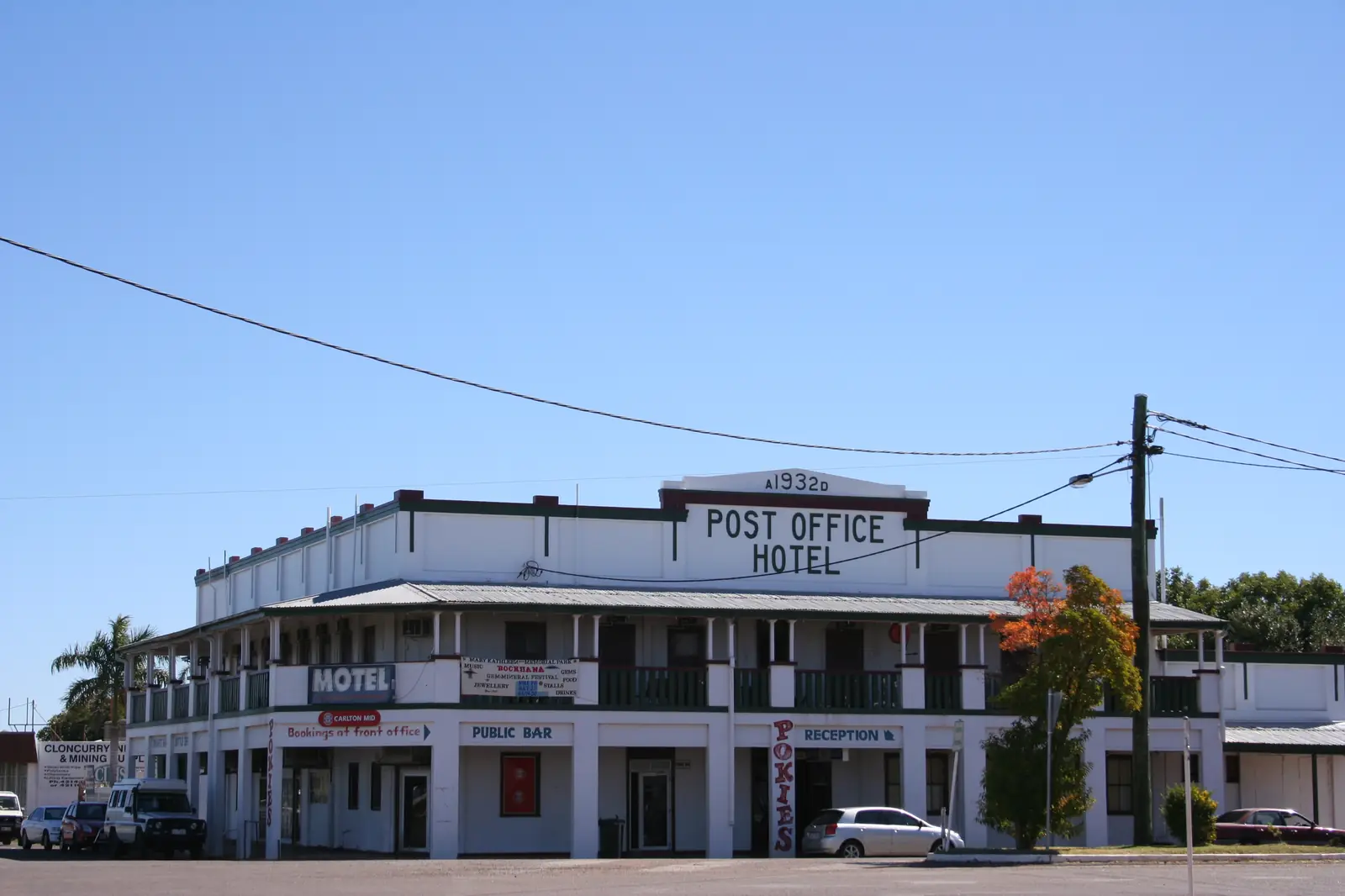
- Cloncurry, about 120 km east, is the birthplace of the Royal Flying Doctor Service: the first flight of John Flynn's Aerial Medical Service took off from here in 1928. John Flynn Place tells that story. The town sits at the junction of the Flinders and Landsborough highways — the "Friendly Heart of the Great North West" — with Burke and Wills history, Chinaman Creek Dam and the Mary Kathleen uranium-town remnants nearby.
- Julia Creek is a cattle town between Richmond and Cloncurry, known for outdoor artesian bath houses, the Dirt n Dust Festival (usually in April) and the endangered Julia Creek dunnart.
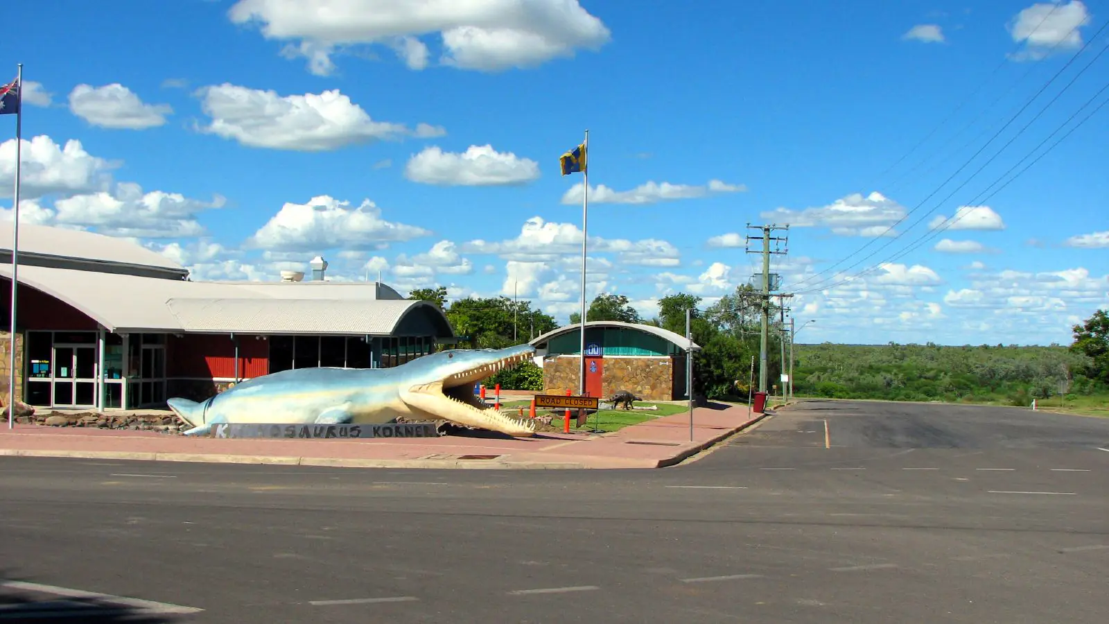
- Richmond sits on the bed of an ancient inland sea. Kronosaurus Korner displays marine reptile fossils, and visitors can fossick for fossils around town. Lake Fred Tritton is the local waterhole stop on the dinosaur trail.
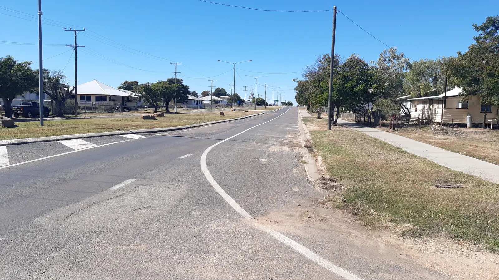
- Hughenden on the Flinders River completes the Queensland Dinosaur Trail with Winton. The Flinders Discovery Centre holds a replica Muttaburrasaurus. Porcupine Gorge lookout and the Pyramid camping area are about 60–70 km north on the Kennedy Developmental Road.
- Camooweal is the last Queensland town before the Northern Territory border on the Barkly Highway, a droving and cattle-road town with caves in the surrounding limestone country.
The Gulf Savannah
- Normanton is the Carpentaria Shire centre, known for the Purple Pub, the replica of Krys the Savannah King crocodile, and the Gulflander rail motor to Croydon — a line that was never connected to the rest of Queensland's network. Burke and Wills reached tidal Gulf channels near here in 1861.
- Karumba is about 70 km by sealed road at the mouth of the Norman River: barramundi fishing, prawn trawlers, sunsets at Karumba Point and the Barramundi Discovery Centre. Saltwater crocodiles live in these waters.
- Burketown on the Albert River is the best-known place to see the Morning Glory — a rare roll cloud most often reported in the early morning between about September and November. It is not guaranteed on any given day.
- Croydon is a gold-rush town with a heritage precinct and the eastern end of the Gulflander line.
Fishing in Gulf waters is subject to Queensland size and possession limits and a closed season for barramundi. Check Fisheries Queensland before you fish. Read crocodile safety.
Cape York and Charters Towers
Town guides are live for four more places that belonged to this region in the original directory:
- Weipa, on Alngith Country on western Cape York, about 800 km by road from Cairns on the Peninsula Developmental Road. Weipa Town Authority records bauxite discovery in 1955 and a township built from 1964–1967. The 2021 Census counted 4,097 people in the urban centre. Wet-season closures on the PDR are common; QLDTraffic is essential.
- Mareeba, 63 km west of Cairns on Muluridji Country, gateway to the Atherton Tablelands and the inland route to Cooktown. The Mareeba Heritage Museum is the accredited visitor centre. The 2021 urban centre population was 8,585.
- Cooktown, on Guugu Yimithirr Country (Gungardie), about 331 km from Cairns on the sealed Mulligan Highway via Mareeba. The 2021 urban centre population was 1,797. Nature's Powerhouse in the botanic gardens is the visitor centre. Kalkajaka (Black Mountain) is lookout-only — Queensland Parks warns people have been injured or died in the boulder field.
- Charters Towers, 130 km south-west of Townsville on the Flinders Highway on Gudjal Country. Gold was found in 1871; the town was nicknamed "The World". The 2021 urban centre population was 8,040. The Venus Gold Battery dates from 1872.
- Greenvale, inland on the Gregory Developmental Road, a former nickel town toward Georgetown.
- Georgetown, Etheridge Shire on the Savannah Way, with Croydon to the west.
- Mount Surprise, the first Gulf Savannah town from the east — Undara lava-tube tours and O’Brien’s Creek topaz fossicking on Ewamian Country.
- Forsayth, Etheridge Shire — Savannahlander / Etheridge Railway and the Cobbold Gorge approach.
- Einasleigh, Etheridge Shire on the Einasleigh River (Copperfield Gorge on official pages).
- Mount Garnet, Tablelands fringe on the inland Savannah / Kennedy Developmental Road.
- Prairie, Flinders Highway locality between Charters Towers and Hughenden (Queensland, not the Prairie Hotel at Parachilna).
- Pentland, Flinders Highway town west of Charters Towers.
- Homestead, Flinders Highway locality east of Pentland (Queensland, not Homestead NT).
- Ravenswood, Charters Towers gold town (Queensland, not Ravenswood WA or Tasmania).
- Torrens Creek, Flinders Highway locality toward Hughenden (Queensland, not Torrens in South Australia).
- Maxwelton, Flinders Highway locality between Hughenden and Richmond (Queensland, not Maxwellton NSW).
- Stamford, Kennedy Developmental Road locality 61 km south of Hughenden toward Winton (Queensland, not Stamford Lincolnshire or Victoria).
- Lakeland, Cook Shire inland junction of the Mulligan Highway and the Peninsula Developmental Road (not New Zealand).
- Quamby, tiny Cloncurry Shire locality on the Julia Creek road.
- Laura, Cook Shire Cape York (Queensland, not Laura in the Flinders Ranges) — Quinkan rock art and Split Rock on the Peninsula Developmental Road north of Lakeland.
- Innot Hot Springs, Tablelands thermal township on the Kennedy Highway between Ravenshoe and Mount Garnet.
- Chillagoe, limestone-cave town west of Mareeba on the inland Savannah fringe.
- Coen, Cook Shire service town on the Peninsula Developmental Road toward Weipa.
- Dajarra, small railway and cattle town south of Mount Isa on the Boulia road.
- Urandangie, tiny Georgina River locality on the Mount Isa–Boulia fringe.
- McKinlay, McKinlay Shire — Walkabout Creek on official tourism pages.
- Kynuna, Landsborough Highway locality toward Winton, Combo Waterhole country on official park pages.
- Ravenshoe, Tablelands town on the Kennedy Highway, neighbour to Innot Hot Springs.
- Gregory, Gregory Downs / Burke Shire — Boodjamulla (Lawn Hill) approach in Queensland, not Gregory WA.
- Kajabbi, tiny Cloncurry Shire locality north-west of Cloncurry on the Leichhardt River.
- Duchess, Cloncurry Shire railway locality on the Southern Gems run toward Dajarra (Queensland, not Duchess WA).
Getting around and seasons
The Flinders Highway is sealed all the way from Townsville to Mount Isa. The Barkly Highway continues to Tennant Creek. The Savannah Way across the Gulf includes unsealed sections that close in the wet. Queensland Rail's Inlander links Townsville with Mount Isa. Regional flights serve Mount Isa.
April to September suits the inland towns. The Gulf's dry season is roughly May to October; the wet, from about November to April, brings heat, humidity and flooding that can close even sealed roads for weeks. BOM averages for Normanton Airport show that pattern clearly. Carry water, plan fuel, and do not drive at night on outback highways. See wet season and road closures and outback safety.
Parks and a suggested trip
Boodjamulla, Riversleigh, Porcupine Gorge and, further north, Rinyirru (Lakefield) are the main parks travellers attach to this hub. A classic two-week circuit joins the dinosaur towns on the Flinders Highway with Mount Isa, a Lawn Hill side trip if roads allow, and a Gulf finish at Normanton and Karumba. Visitor centres — especially Outback at Isa, Cloncurry, Hughenden, Richmond and the Carpentaria Shire desks in Normanton — are the place to confirm mine-tour times, Gulflander timetables and park access.
See the Gulf Country landscape guide, the Matilda Way (which ends at Karumba) and the outback Queensland state hub.
Towns in this region
Outback Queensland
Cloncurry
Cloncurry, Queensland: John Flynn Place and the birth of the Flying Doctor, Burke and Wills history, Chinaman Creek Dam and Mary Kathleen.
Read · 6 min
Outback Queensland
Mount Isa
Mount Isa, Queensland: Outback at Isa, the Hard Times Mine tour, Riversleigh fossils, Lake Moondarra, the Mount Isa Rodeo and getting there by road.
Read · 6 min
Outback Queensland
Hughenden
Hughenden, Queensland: the Flinders Discovery Centre and Muttaburrasaurus, Porcupine Gorge National Park, the Flinders River and the dinosaur trail.
Read · 6 min
Outback Queensland
Richmond
Richmond, Queensland: Kronosaurus Korner's marine reptile fossils, fossicking for fossils, Lake Fred Tritton and the Flinders Highway dinosaur trail.
Read · 6 min
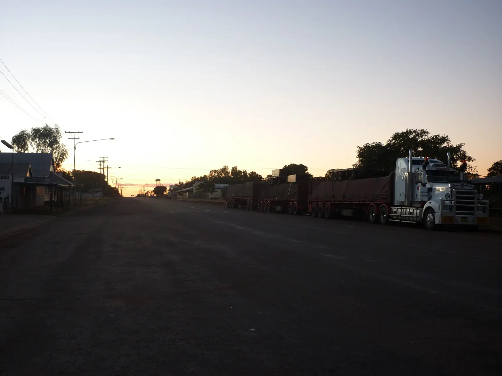
Outback Queensland
Camooweal
Camooweal, Queensland: the last town before the NT, Camooweal Caves National Park, the Drovers Camp, billabongs and fuel tips for the Barkly Highway.
Read · 5 min
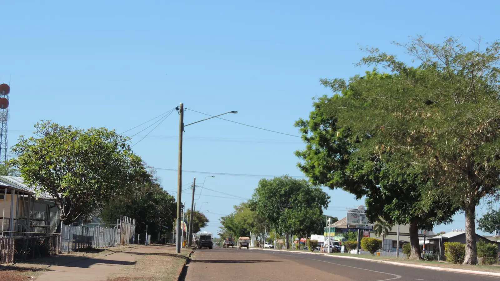
Outback Queensland
Normanton
Normanton, Queensland: the Gulflander train to Croydon, Krys the Savannah King crocodile, the Purple Pub, barramundi fishing and Gulf Country travel tips.
Read · 5 min
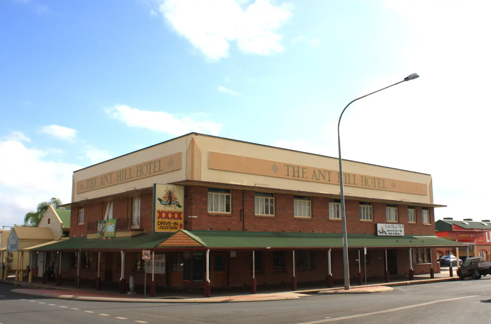
Queensland · Tablelands and Cape approaches
Mareeba
Mareeba travel guide: 63 km west of Cairns on Muluridji Country, Heritage Museum visitor centre, Davies Creek National Park, coffee country and the sealed inland route toward Cooktown.
Read · 8 min
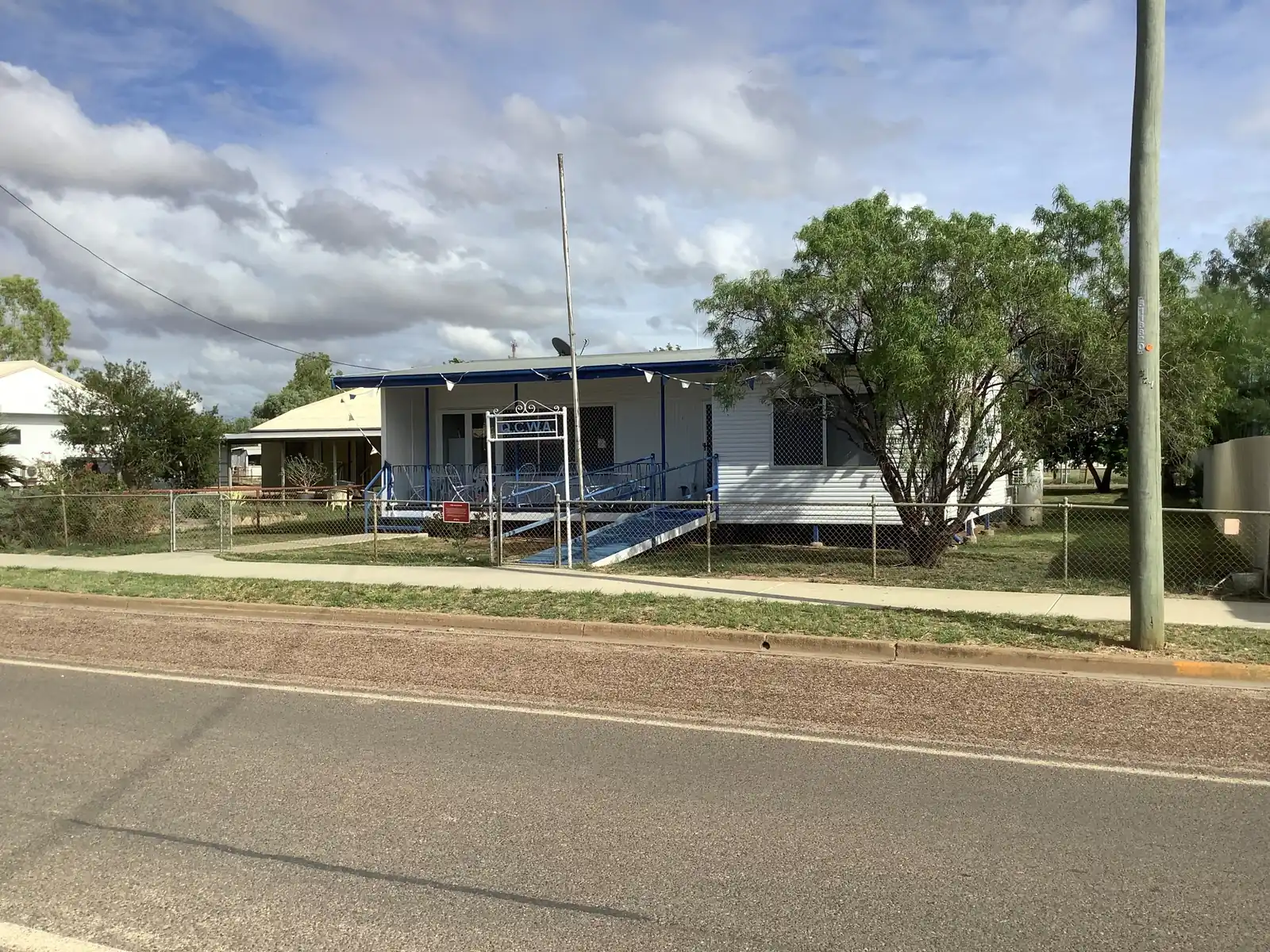
Queensland · North West
Julia Creek
Julia Creek travel guide: the Flinders Highway town known for the Dirt n Dust Festival, the endangered Julia Creek dunnart, artesian baths and travel tips.
Read · 5 min
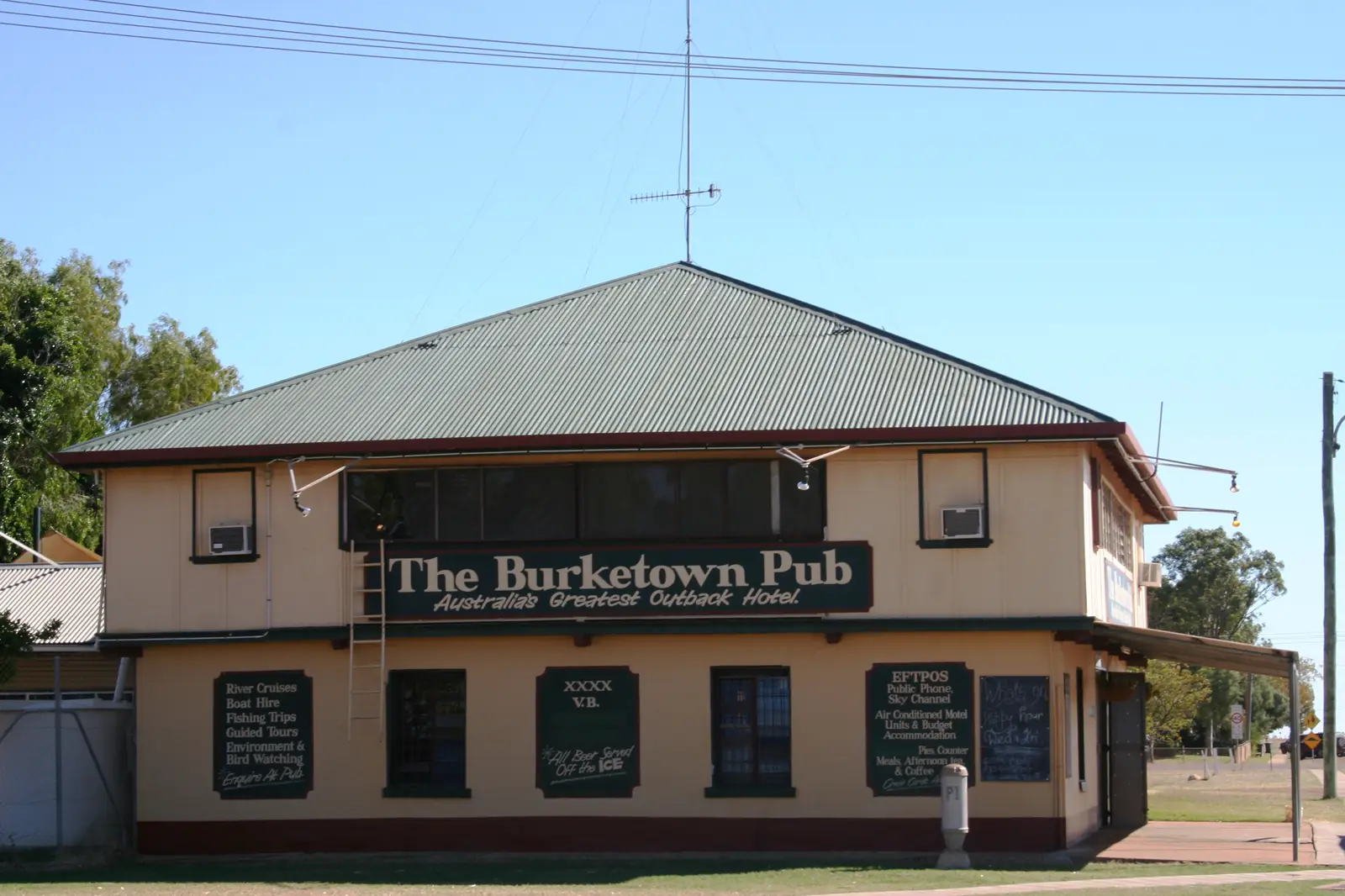
Queensland · Gulf Country
Burketown
Burketown travel guide: the Gulf town known for the Morning Glory cloud, barramundi fishing on the Albert River, the Savannah Way and travel tips.
Read · 5 min
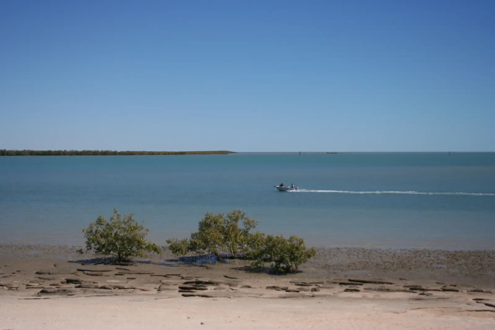
Queensland · Gulf Country
Karumba
Karumba travel guide: the Gulf of Carpentaria fishing town, sunset at Karumba Point, the Barramundi Discovery Centre, prawn trawlers and crocodile safety.
Read · 5 min
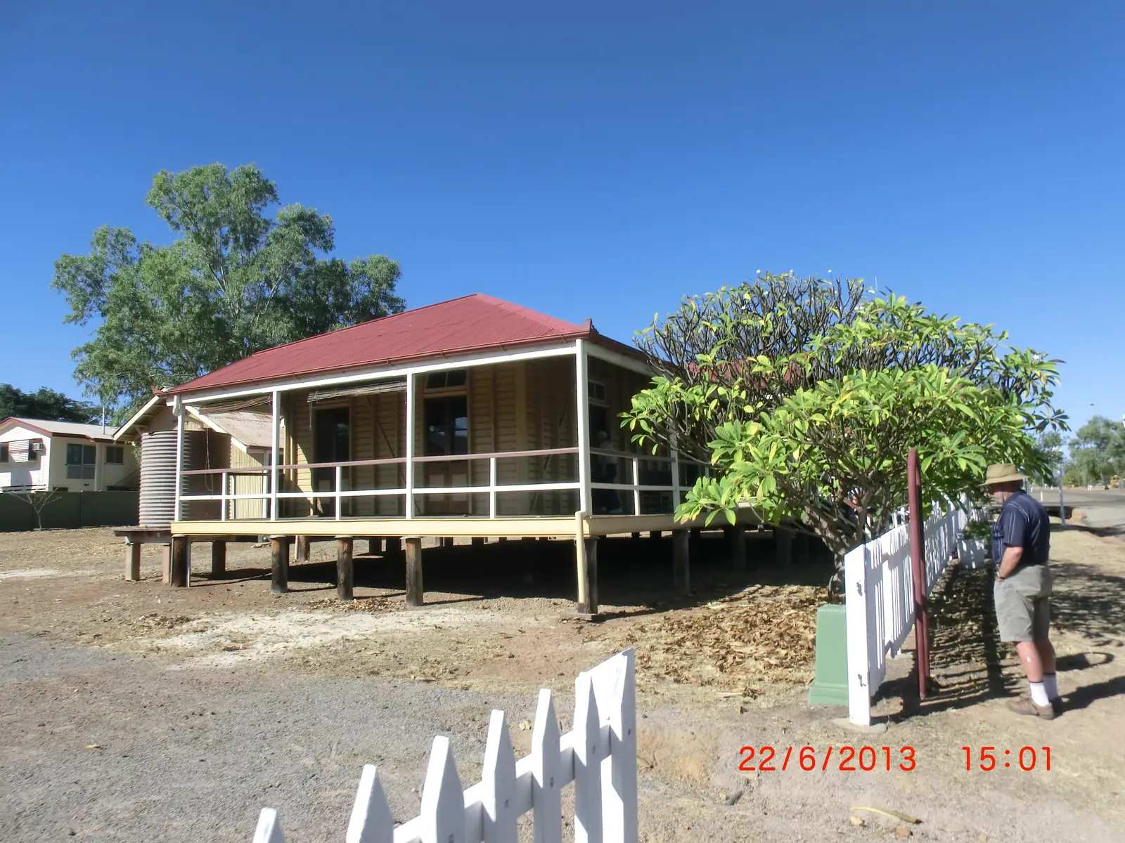
Queensland · Gulf Country
Croydon
Croydon travel guide: the Gulf Country gold rush town, its heritage precinct, the Gulflander rail motor terminus and travel tips.
Read · 5 min
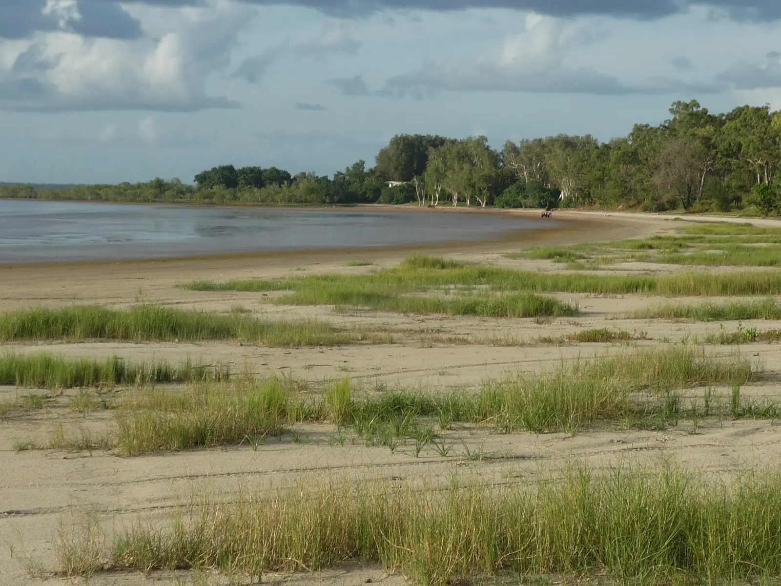
Outback Queensland
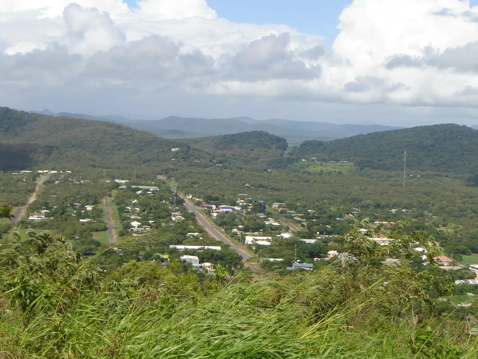
Weipa
Weipa travel guide on Alngith Country, western Cape York: Western Cape Cultural Centre, beaches and lakes, the Peninsula Developmental Road, wet-season closures and QLDTraffic.
Read · 8 min
Outback Queensland
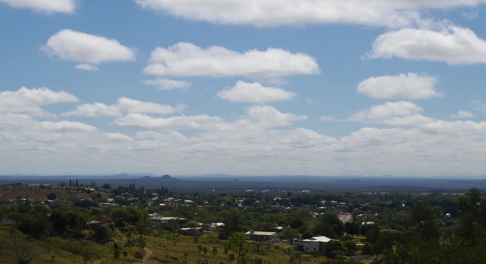
Cooktown
Cooktown travel guide on Guugu Yimithirr Country: Nature’s Powerhouse, Cooktown Museum, Milbi Wall, Kalkajaka lookout-only, Mount Cook and the sealed Mulligan Highway from Cairns.
Read · 7 min
Outback Queensland
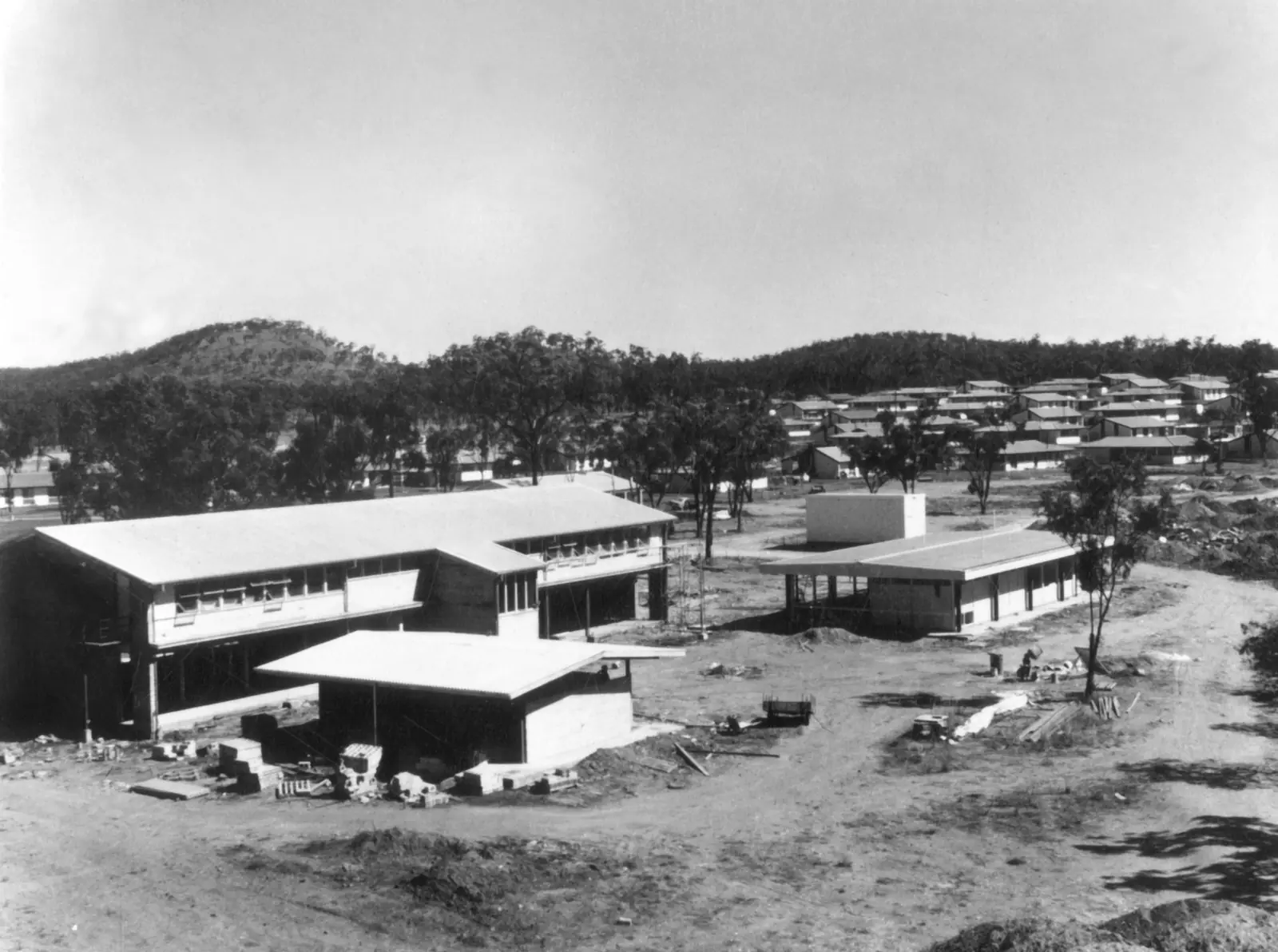
Charters Towers
Charters Towers travel guide on Gudjal Country: the gold city nicknamed The World, Venus Gold Battery, Stock Exchange Arcade, Towers Hill, 130 km from Townsville on the Flinders Highway.
Read · 6 min
Queensland · Outback North
Greenvale
Greenvale travel guide: 203 km north of Charters Towers on the Gregory Developmental Road, former nickel township, Three Rivers Hotel, stays and wet-season road notes.
Read · 10 min
Queensland · Outback North
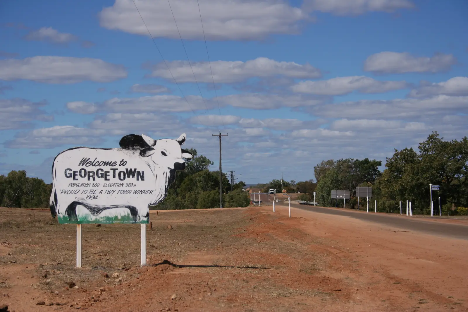
Georgetown
Georgetown travel guide: Etheridge Shire on the Savannah Way, TerrEstrial Centre, 2021 Census, gold heritage, stays, and wet-season access on the Gulf Developmental Road.
Read · 9 min
Queensland · Outback North
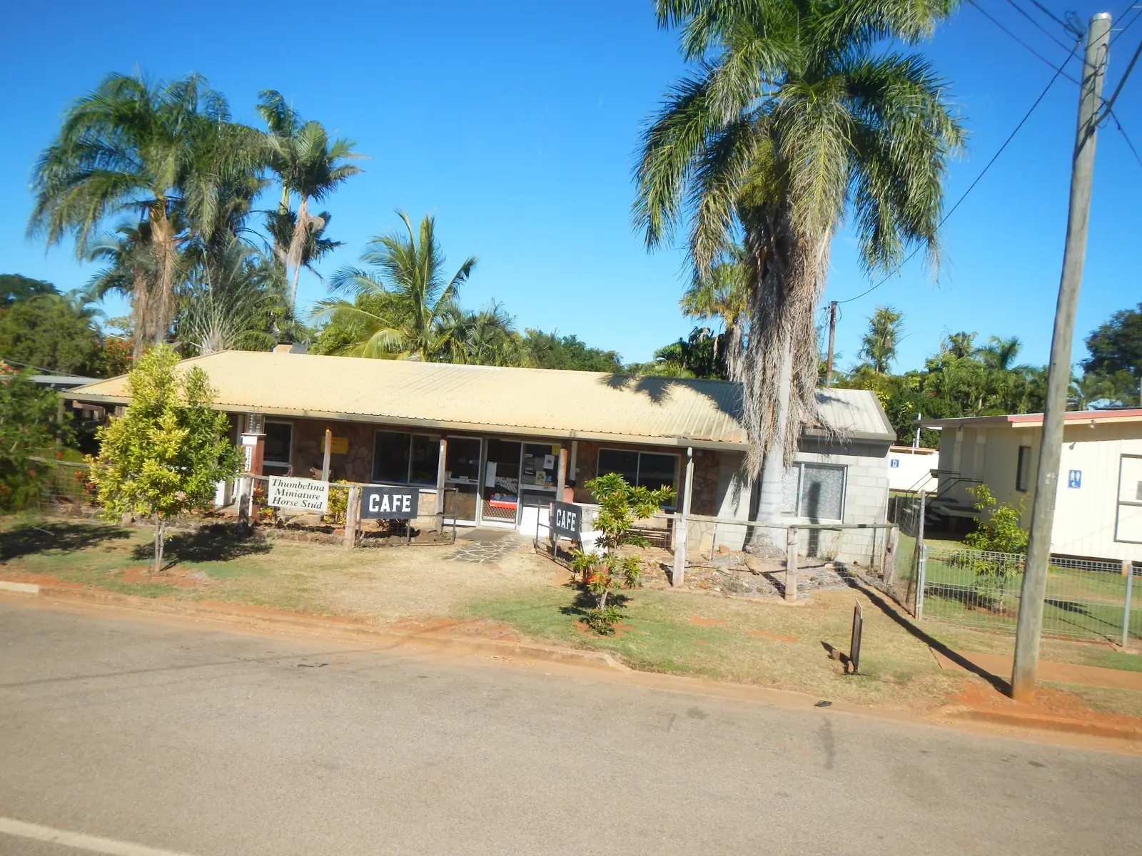
Mount Surprise, Queensland
Mount Surprise, Queensland travel guide: Etheridge Shire on the Savannah Way — Undara Volcanic National Park, O’Brien’s Creek topaz fossicking, Census, stays and wet-season Gulf Developmental Road notes. Not NSW.
Read · 9 min
Queensland · Outback North
Forsayth
Forsayth travel guide: Etheridge Shire gold town, Savannahlander railhead, Caschafor Park, Charleston Dam and the sealed-then-gravel approach to Cobbold Gorge.
Read · 10 min
Queensland · Outback North
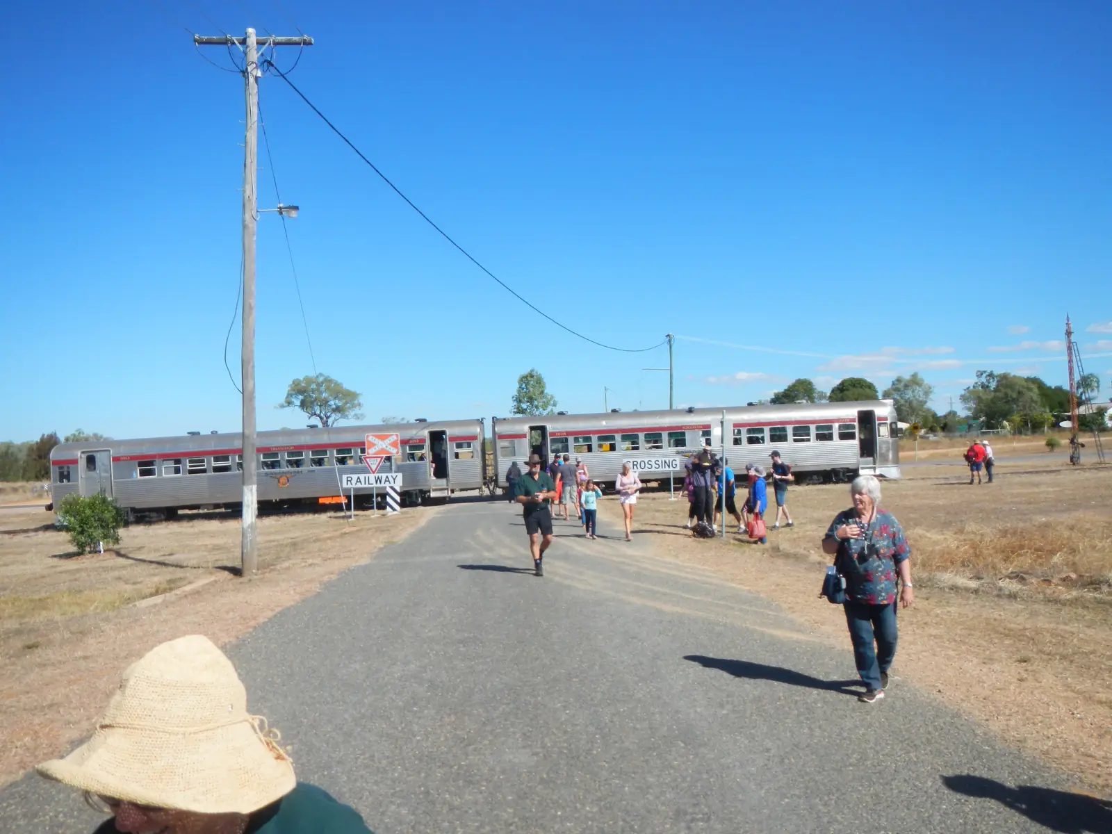
Einasleigh
Einasleigh travel guide: Etheridge Shire copper township on the Copperfield / Einasleigh River, Copperfield Gorge, Savannahlander pub stop and a 2021 Census of 87 people.
Read · 8 min
Queensland · Outback North
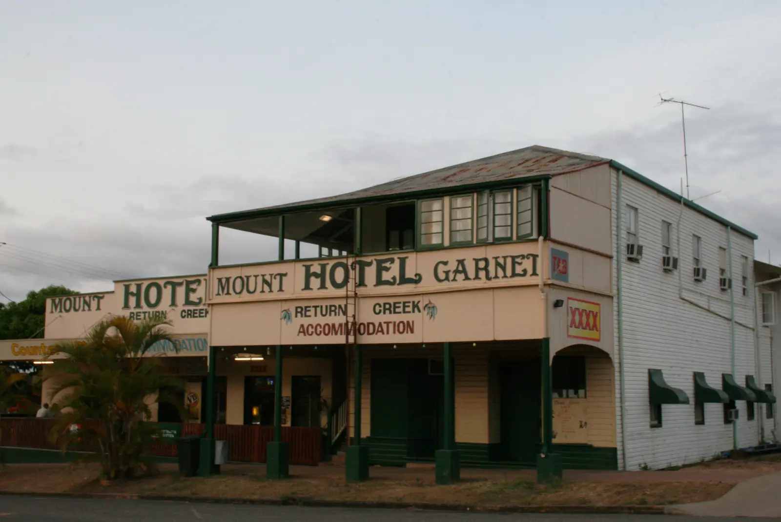
Mount Garnet, Queensland
Mount Garnet, Queensland travel guide: Tablelands Regional Council town on the Savannah Way west of Ravenshoe — fossicking, Wurruma Swamp, Census and Innot Hot Springs nearby. Not NSW. Also searched as Mt Garnet.
Read · 9 min
Queensland · Outback North
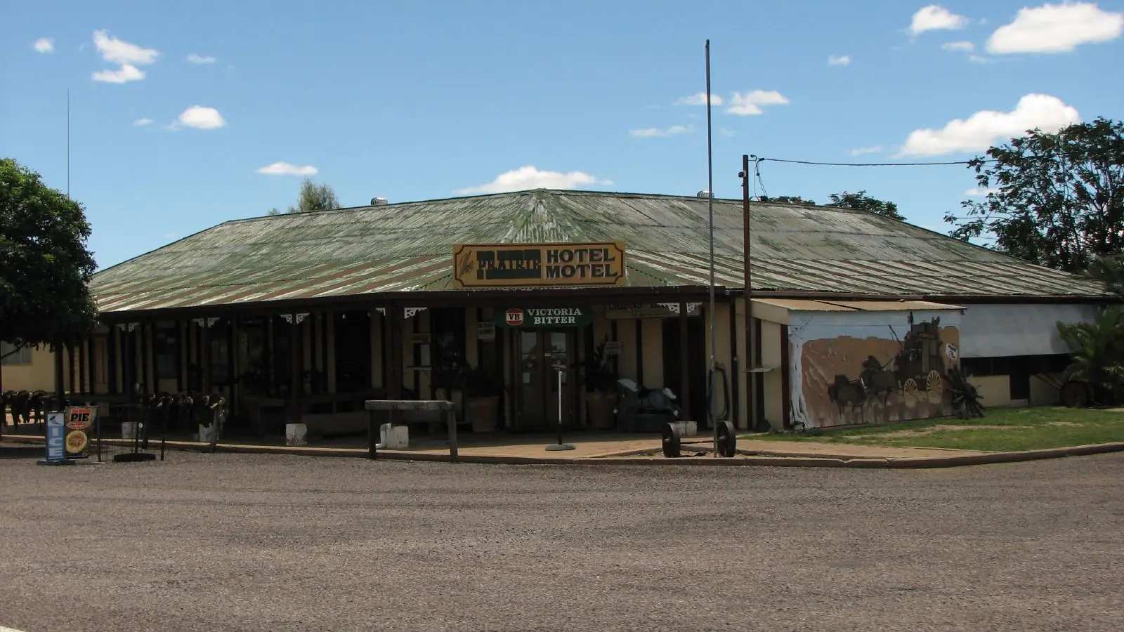
Prairie, Queensland (Flinders Highway)
Prairie, Queensland travel guide: Flinders Shire town on the Flinders Highway between Charters Towers and Hughenden. Prairie Hotel, Census, races and Kooroorinya. This is not the Prairie Hotel at Parachilna, South Australia.
Read · 8 min
Queensland · Outback North
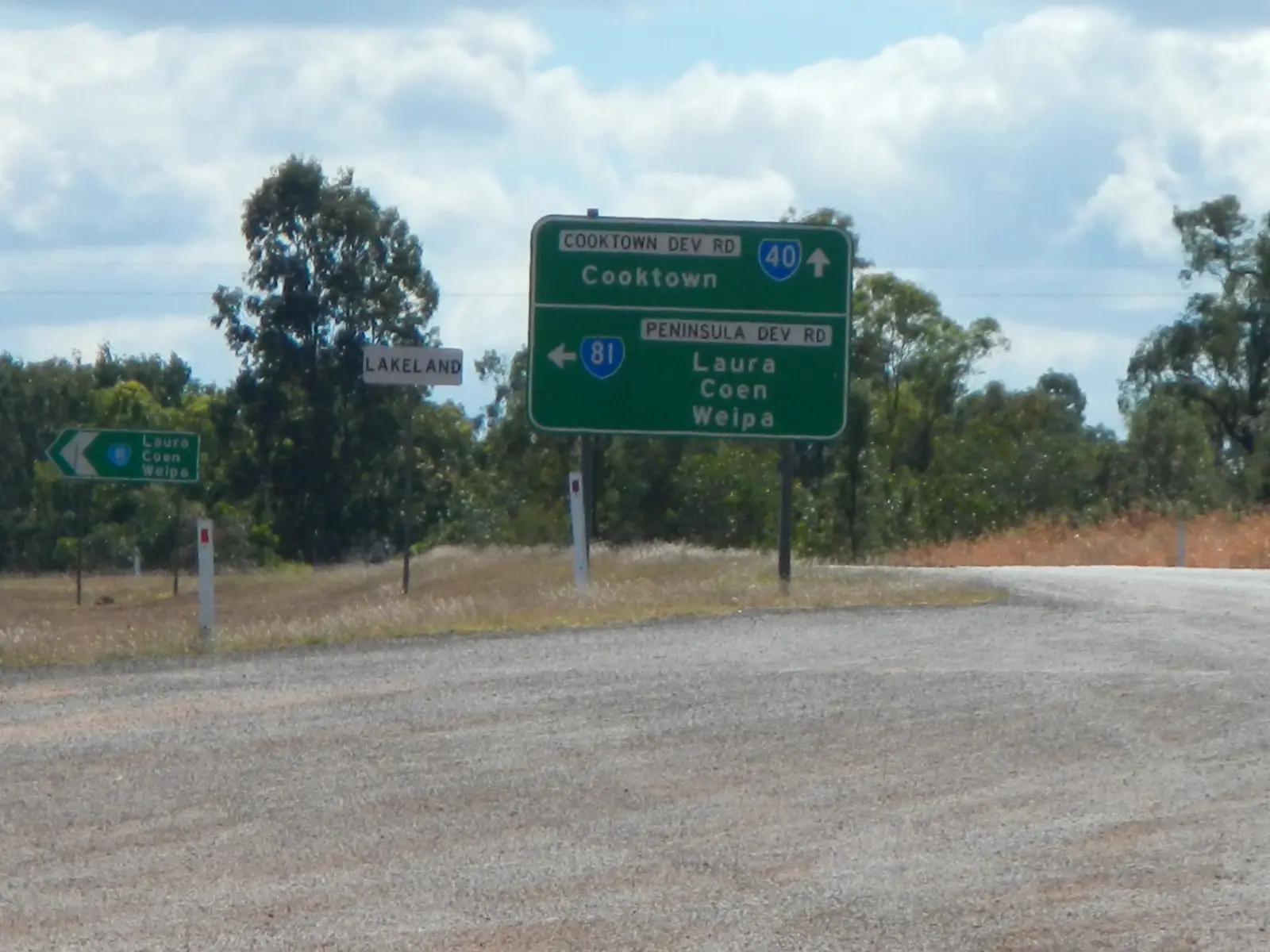
Lakeland, Queensland
Lakeland, Queensland travel guide: Cook Shire agricultural town at the Peninsula Developmental Road and Mulligan Highway junction — Gateway to Cape York, Census and hotel. Not New Zealand.
Read · 8 min
Queensland · Outback North
Quamby, Queensland (Cloncurry Shire)
Quamby, Queensland travel guide: tiny Cloncurry Shire locality on the Burke Developmental Road — Quamby Pub, July rodeo, fossicking licences from Cloncurry. Not Tasmania. No invented town of services.
Read · 7 min
Queensland · Outback North
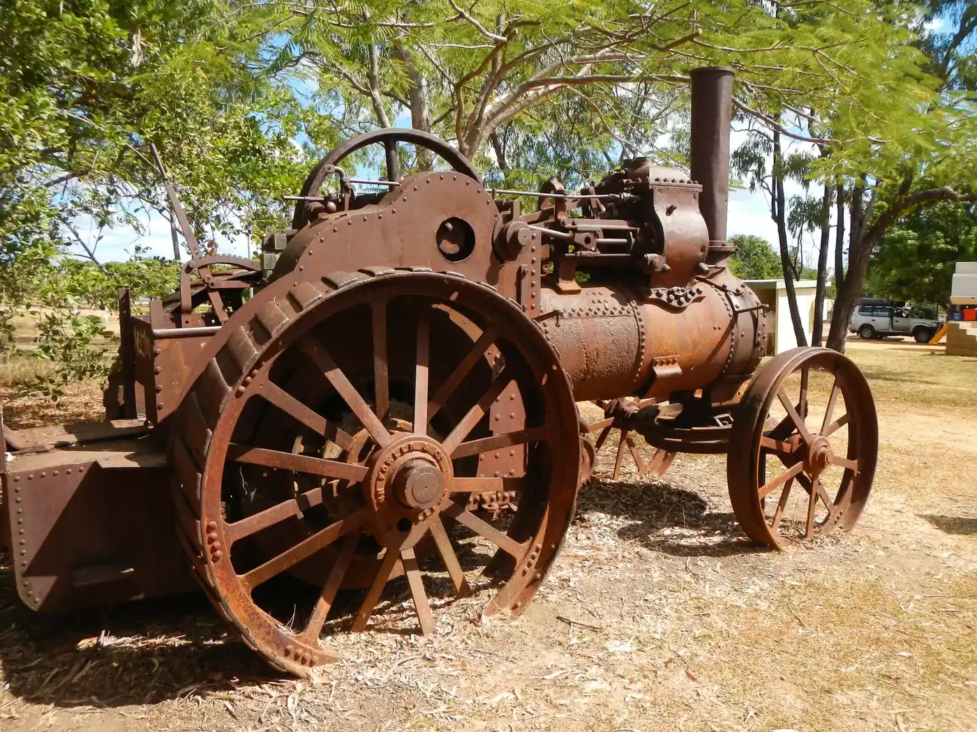
Laura, Queensland
Laura, Queensland travel guide: Cook Shire Cape York town on the Peninsula Developmental Road — Quinkan rock art, Split Rock, Ang-Gnarra, Census and Rinyirru. Not Laura SA in the Flinders.
Read · 11 min
Queensland · Outback North
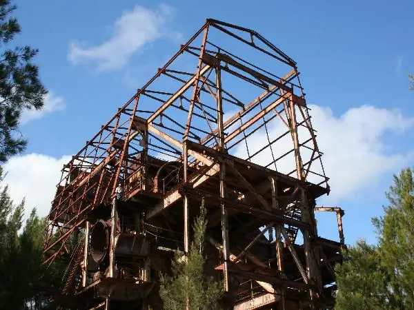
Innot Hot Springs
Innot Hot Springs, Queensland travel guide: Tablelands Regional Council thermal township on the Kennedy Highway between Ravenshoe and Mount Garnet — Nettle Creek, Census and Savannah Way.
Read · 9 min
Queensland · Outback North
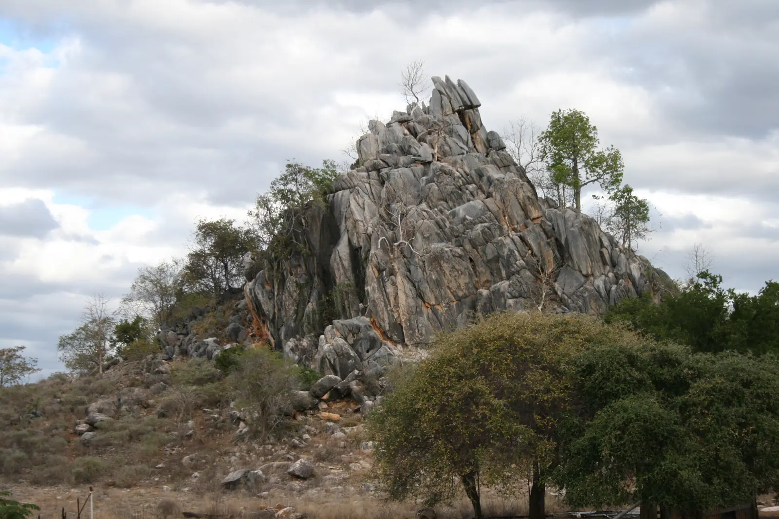
Chillagoe
Chillagoe travel guide: Mareeba Shire Savannah fringe town — Chillagoe-Mungana Caves National Park, ranger-guided cave tours, Census, smelters viewing area and wet-season roads.
Read · 9 min
Queensland · Outback North
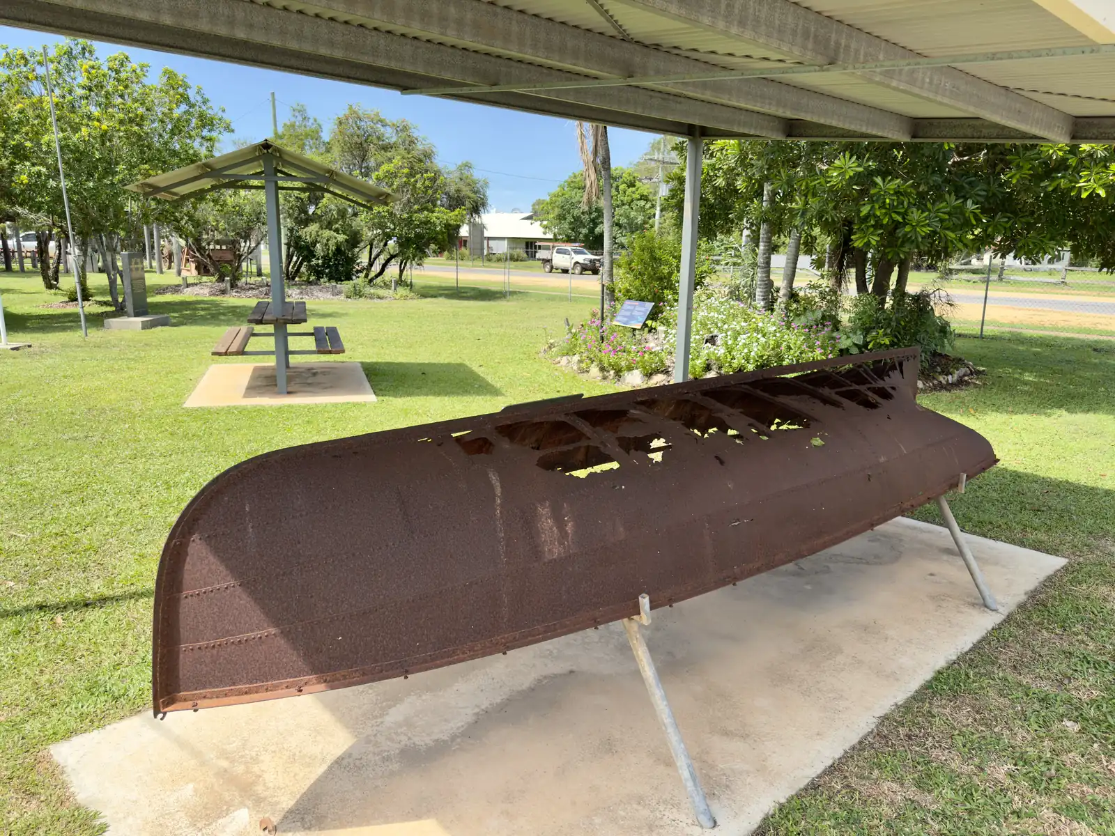
Coen
Coen, Queensland travel guide: Cook Shire Cape York town on the Peninsula Developmental Road — goldfields history, Census, Exchange Hotel, wet-season PDR closures and QLDTraffic.
Read · 9 min
Queensland · Outback North
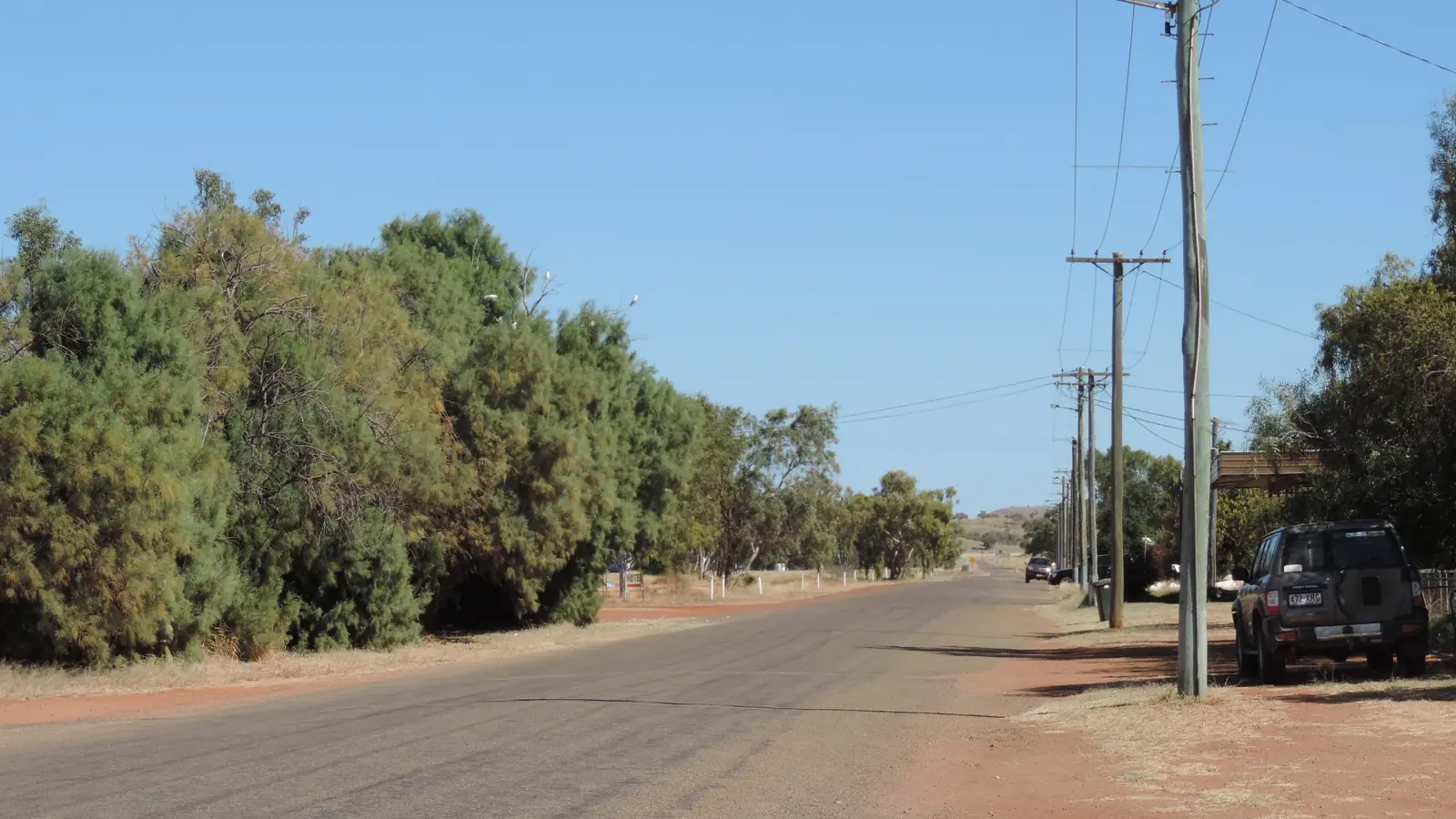
Dajarra
Dajarra travel guide: Cloncurry Shire railway and cattle town on the Diamantina Developmental Road — cattle yards, Dajarra Hotel, September rodeo, campground. Census, climate comparison and QLDTraffic.
Read · 9 min
Queensland · Outback North
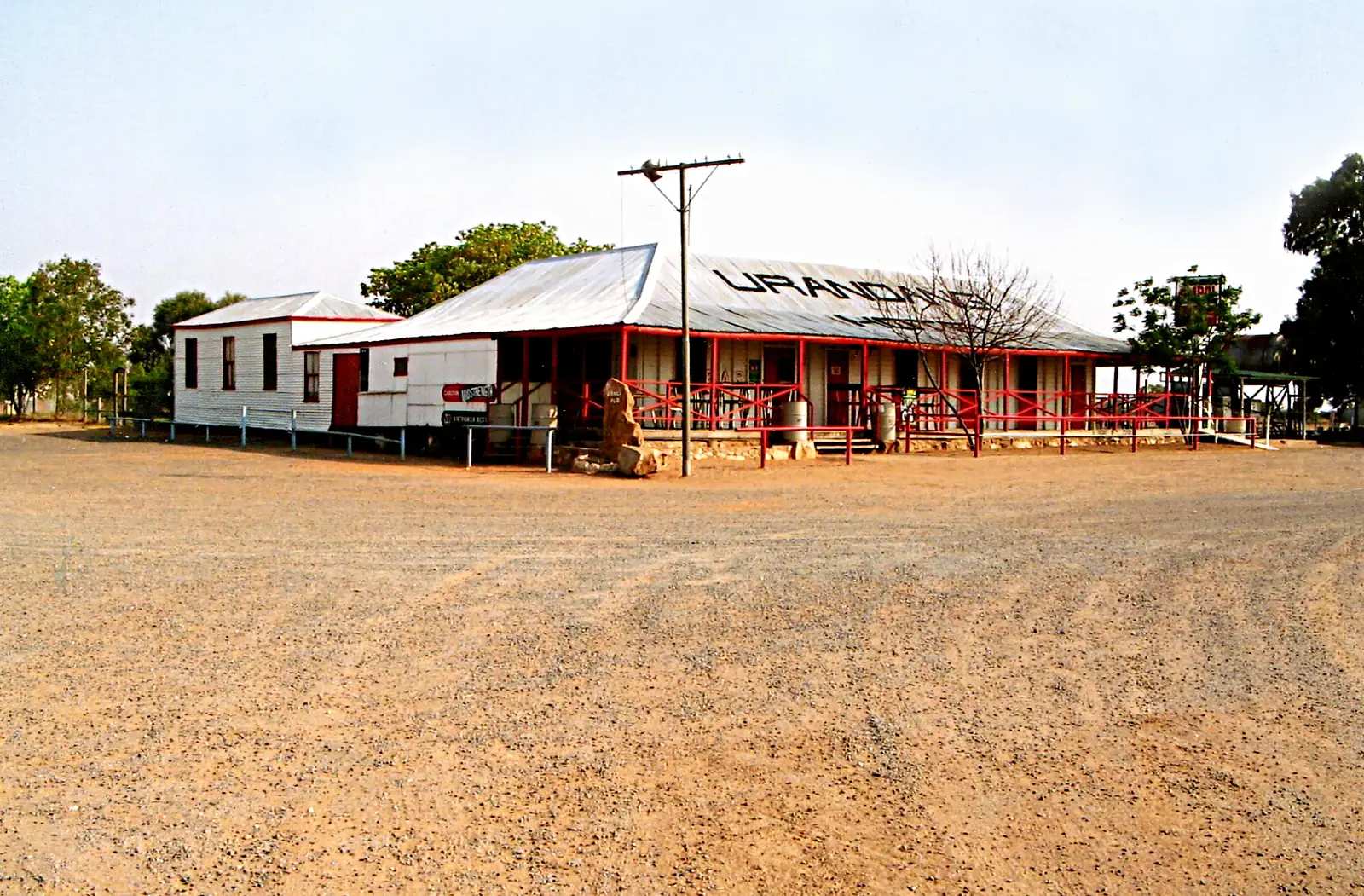
Urandangie (Urandangi)
Urandangie (officially Urandangi) travel guide: Boulia Shire locality on the Georgina River — droving history, cemetery, non-potable water. No 2021 UCL; Piturie SAL32337. Confirm fuel before you count on a bowser.
Read · 8 min
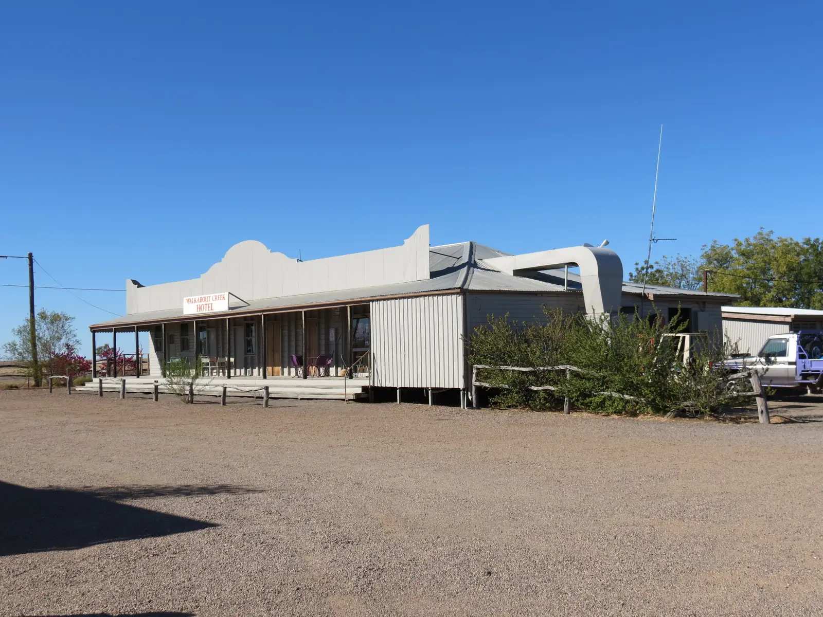
Queensland · Outback North
McKinlay Qld
McKinlay Qld travel guide: McKinlay Shire town 104 km south-east of Cloncurry — Walkabout Creek Hotel (former Federal Hotel, Crocodile Dundee filming site as named), smallest public library, Census and climate comparison.
Read · 9 min
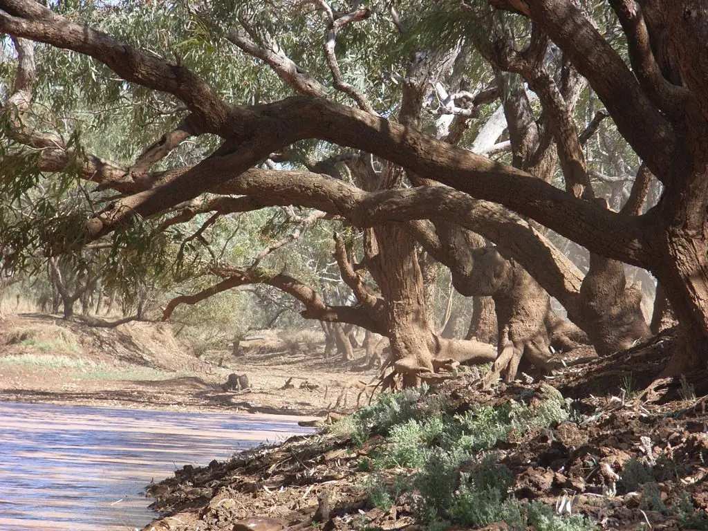
Queensland · Outback North
Kynuna
Kynuna travel guide: McKinlay Shire town on the Landsborough Highway — Blue Heeler Hotel, Combo Waterhole Conservation Park as named by Queensland Parks and Outback Queensland. Census, climate comparison and QLDTraffic.
Read · 10 min
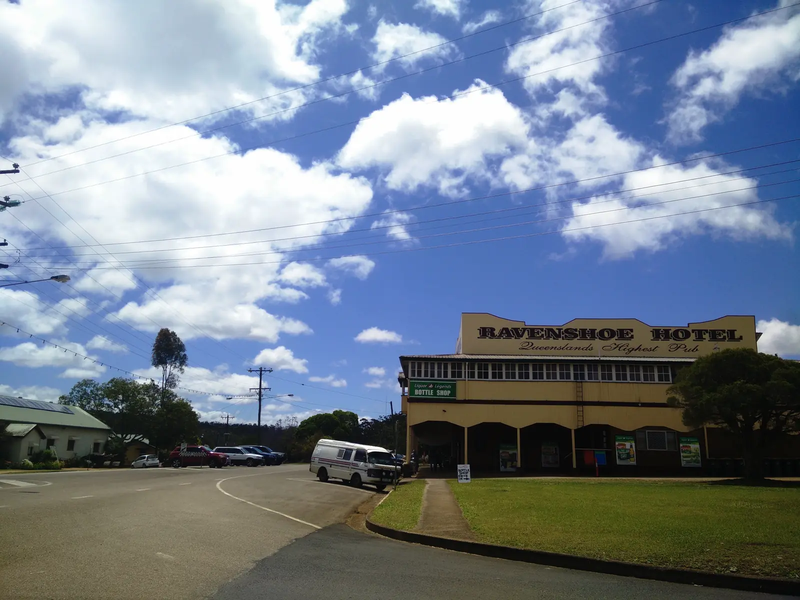
Queensland · Outback North
Ravenshoe
Ravenshoe travel guide: Tablelands town at Queensland’s highest elevation — Millstream Falls, Avenue of Honour, Windy Hill, Jirrbal Country, Census and climate. Neighbour to Innot Hot Springs.
Read · 9 min
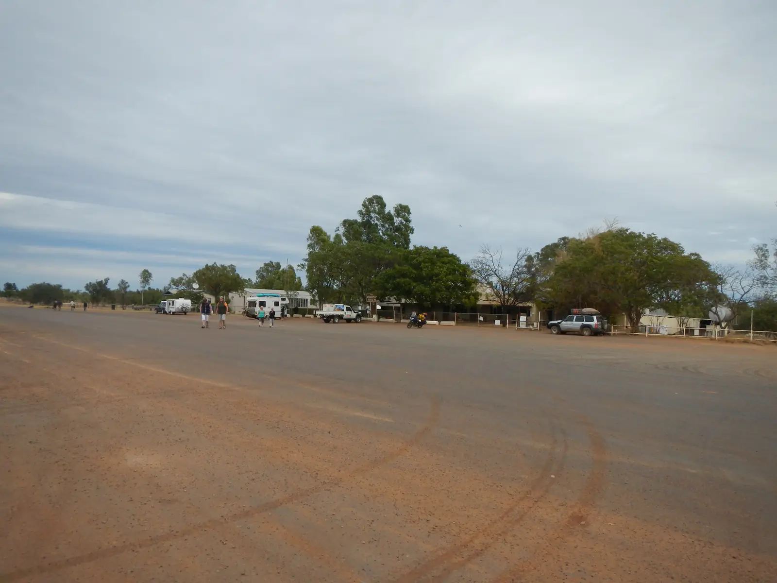
Queensland · Outback North
Gregory
Gregory travel guide: Burke Shire township formerly Gregory Downs — Wills Developmental Road, historic hotel, Gregory River camp, Boodjamulla (Lawn Hill) approach. Not Gregory WA. Census and climate.
Read · 8 min
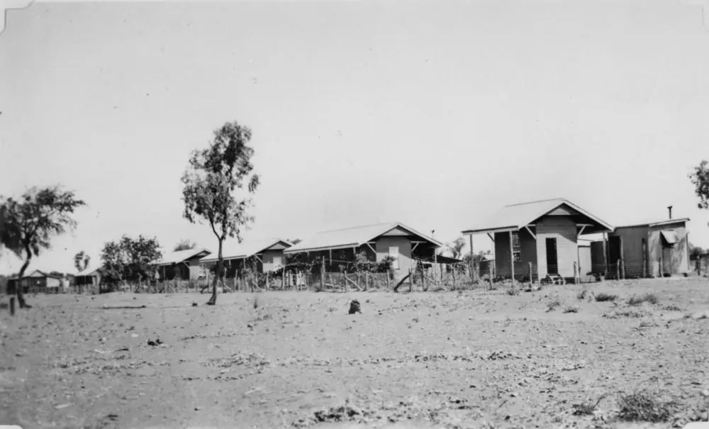
Queensland · Outback North
Kajabbi
Kajabbi travel guide: Cloncurry Shire settlement 100 km north-west of Cloncurry on the Leichhardt River — Kalkadoon Hotel, Dobbyn and Mount Cuthbert relics, Census notes and climate. Not a town of invented services.
Read · 7 min
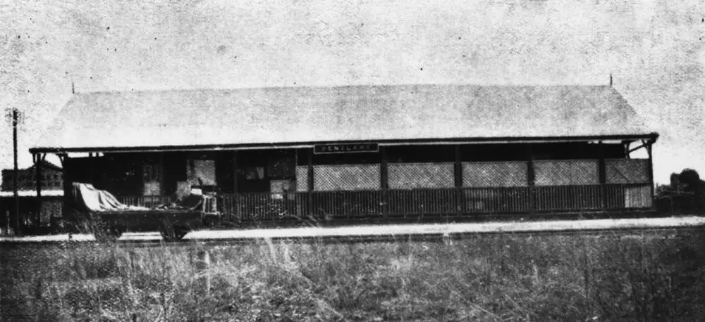
Queensland · Outback North
Pentland, Queensland (Flinders Highway)
Pentland, Queensland travel guide: Flinders Highway town 107 km west of Charters Towers, Burra Range lookout, White Mountains, caravan park and hotel motel. Not a South Australian town page.
Read · 9 min
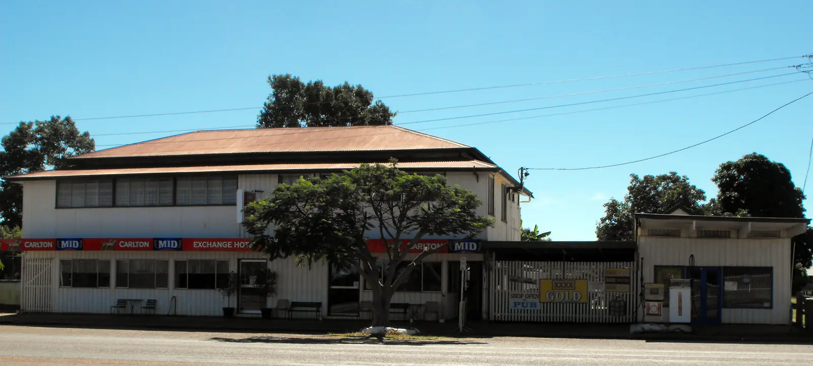
Queensland · Outback North
Torrens Creek, Queensland (Flinders Highway)
Torrens Creek, Queensland travel guide: Flinders Highway town 88 km east of Hughenden. Oasis Exchange Hotel, 1942 ammunition-dump explosions, White Mountains and Moorrinya. This is not Torrens, South Australia.
Read · 9 min
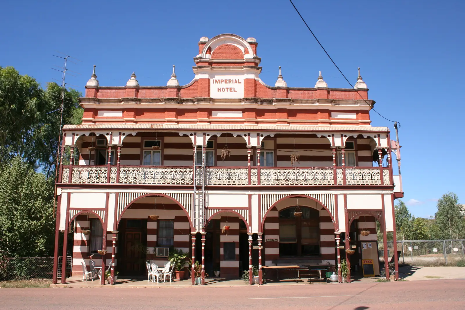
Queensland · Outback North
Ravenswood, Queensland
Ravenswood, Queensland travel guide: heritage-listed gold town 89 km east of Charters Towers, Imperial and Railway Hotels, Courthouse Museum, White Blow. Not Ravenswood WA or Tasmania.
Read · 10 min
Queensland · Outback North
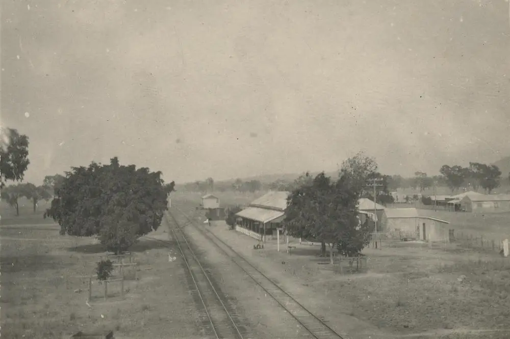
Homestead, Queensland (Flinders Highway)
Homestead, Queensland travel guide: Flinders Highway locality 73 km west of Charters Towers, Homestead Station naming, school mural, Census 38. Not Homestead NT. Thin locality — no invented attractions.
Read · 9 min
Queensland · Outback North
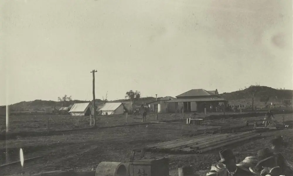
Duchess, Queensland (Cloncurry Shire)
Duchess, Queensland travel guide: Cloncurry Shire railway and mining locality on the Inlander line between Cloncurry and Mount Isa. Duchess Hotel, Census 53, Southern Gems itinerary. Not Duchess WA. Not Cloncurry.
Read · 10 min
Queensland · Outback North
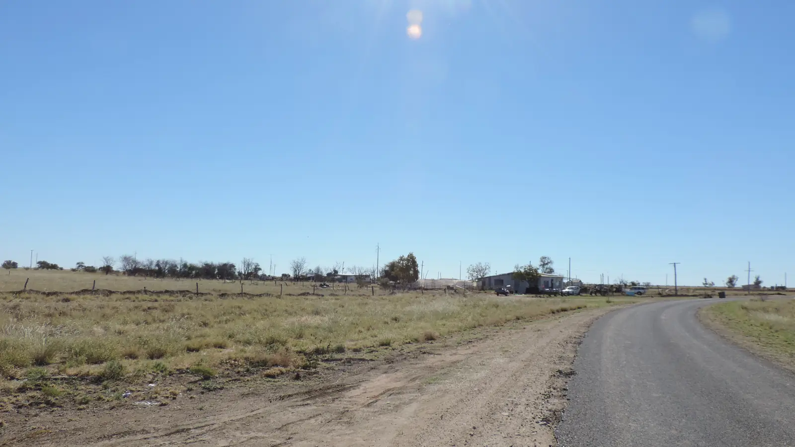
Maxwelton, Queensland (Flinders Highway)
Maxwelton, Queensland travel guide: Flinders Highway and Great Northern Railway gap between Hughenden and Richmond, Flinders Shire, Census 32. Not Maxwellton NSW. Thin locality — no invented services.
Read · 9 min
Queensland · Outback North
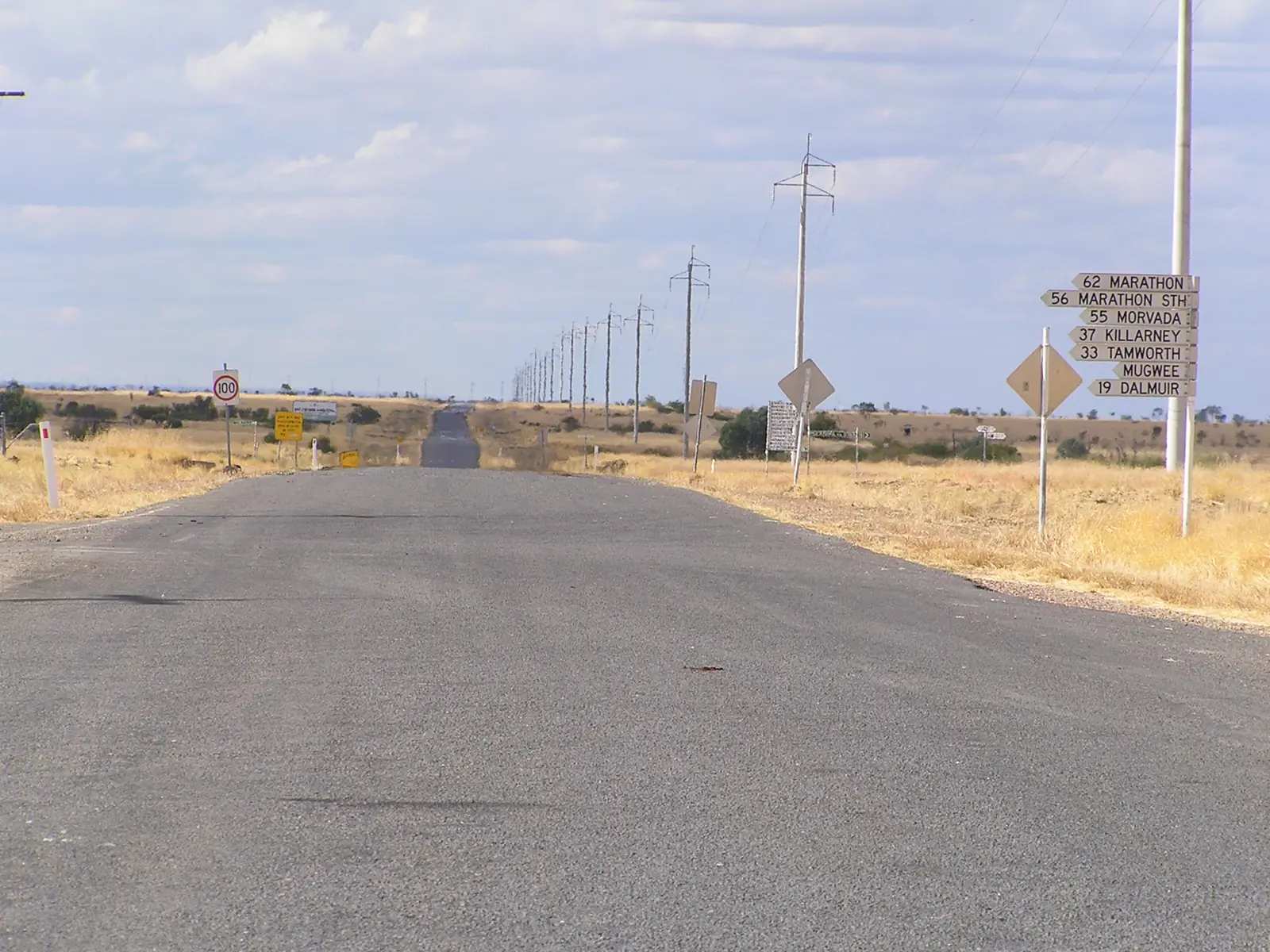
Stamford, Queensland (Kennedy Developmental Road)
Stamford, Queensland travel guide: 61 km south of Hughenden on the Kennedy Developmental Road to Winton, July races, Cobb & Co and 1897 wool railhead. Census 77. Not Stamford Lincolnshire or VIC. Not the Flinders Highway west of Hughenden.
Read · 10 min
Frequently asked questions
Which towns are in outback north Queensland?
This hub covers Mount Isa, Cloncurry, Hughenden, Richmond, Camooweal, Julia Creek, Normanton, Karumba, Burketown and Croydon, plus [Weipa](/outback-towns/queensland/weipa), [Mareeba](/outback-towns/queensland/mareeba), [Cooktown](/outback-towns/queensland/cooktown), [Charters Towers](/outback-towns/queensland/charters-towers), [Greenvale](/outback-towns/queensland/greenvale), [Georgetown](/outback-towns/queensland/georgetown) and [Mount Surprise](/outback-towns/queensland/mount-surprise).
How do you get to Mount Isa and the Gulf?
The Flinders Highway (Overlander's Way) is sealed from Townsville through Hughenden, Richmond, Julia Creek and Cloncurry to Mount Isa. The Savannah Way links the Gulf towns. Queensland Rail's Inlander runs Townsville to Mount Isa. Flights serve Mount Isa. Check QLDTraffic, especially in the wet season.
When is the best time to visit the Gulf?
The dry season, roughly May to October. Bureau of Meteorology averages for Normanton Airport show almost no rain from May to October and heavy rain in summer. Many unsealed Savannah Way sections close in the wet. The inland mining and dinosaur towns are also most comfortable from April to September.
Are there crocodiles in the Gulf?
Yes. Saltwater crocodiles live in Gulf rivers, estuaries and some waterholes. Stay well back from the water's edge, obey signs and read our crocodile safety guide.
Sources and further reading
Facts on this page were checked against these primary and official sources. Conditions change — confirm before you travel or buy.
- Outback Queensland — Outback Queensland Tourism Association
- QLDTraffic — Queensland Government
- Climate statistics for Normanton Airport (029063) — Bureau of Meteorology
- Outback at Isa — Outback at Isa
- Carpentaria Shire — getting here — Carpentaria Shire Council
- Boodjamulla (Lawn Hill) National Park — Queensland Parks and Wildlife Service