At a glance
Sourced facts only. Distances and services change — confirm before you travel.
- Population
- 8,040 people (UCL314007, 2021 Census)
- Local government
- Charters Towers Regional Council
- Traditional Owners
- Gudjal (pronounced Goodjal) — Visit Charters Towers History & Heritage
- Nearest regional city
- Townsville 130 km on the Flinders Highway (Visit Charters Towers / council EDS)
- Nearest fuel
- Confirm in the service town named under nearest regional city; this guide does not list bowser brands.
- Nearest hospital or clinic
- Confirm with Queensland Health — do not invent a clinic name.
- Mobile coverage
- Check Telstra and Optus coverage maps before travel; do not assume a signal on floodways, parks or unsealed approaches.
- Best time to visit
- May–September on Charters Towers Airport Comparison (034084) cooler mean maxima (July 25.1 °C; January 33.8 °C). QLDTraffic after rain.
Climate
Monthly means from the Bureau of Meteorology station Charters Towers Airport Comparison (034084). This is not a forecast. Commenced 1942. Elevation 290 m. Status: Open. Annual mean rainfall 651.3 mm. BOM lists this site as Charters Towers Airport Comparison.
| Month | Mean max (°C) | Mean min (°C) | Rainfall (mm) |
|---|---|---|---|
| Jan | 33.8 | 22.4 | 150.5 |
| Feb | 33.0 | 22.3 | 147.8 |
| Mar | 32.1 | 21.0 | 77.6 |
| Apr | 30.4 | 18.4 | 27.9 |
| May | 27.5 | 15.2 | 26.7 |
| Jun | 25.2 | 12.7 | 17.6 |
| Jul | 25.1 | 11.7 | 22.9 |
| Aug | 27.0 | 12.3 | 13.9 |
| Sep | 30.4 | 15.1 | 8.3 |
| Oct | 33.1 | 18.2 | 18.1 |
| Nov | 34.2 | 20.5 | 60.4 |
| Dec | 34.7 | 21.9 | 79.6 |
Charters Towers in pictures
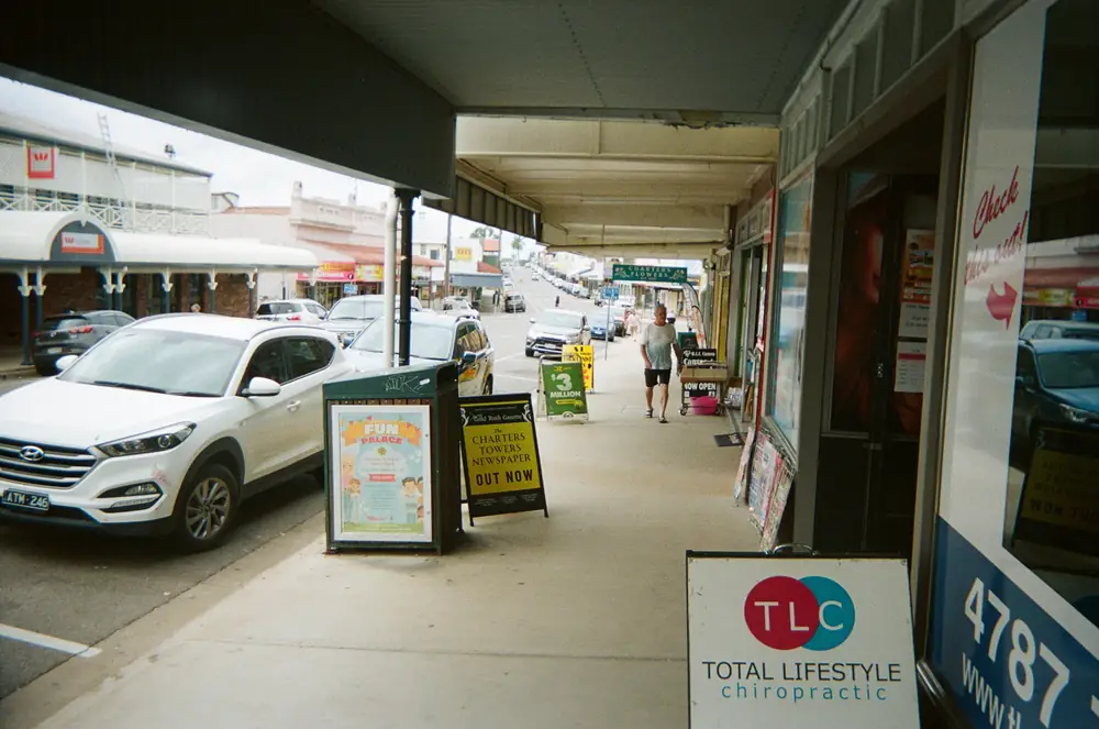
Gill Street on a workday in Charters TowersPhoto: Ridiculopathy · CC0 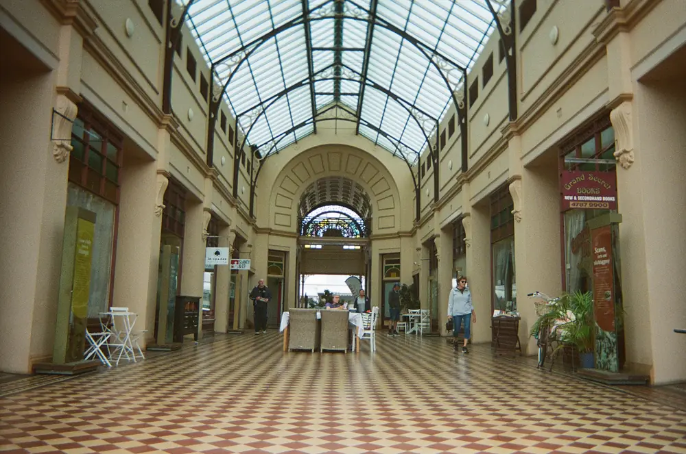
Stock Exchange Arcade in Charters TowersPhoto: Ridiculopathy · CC0 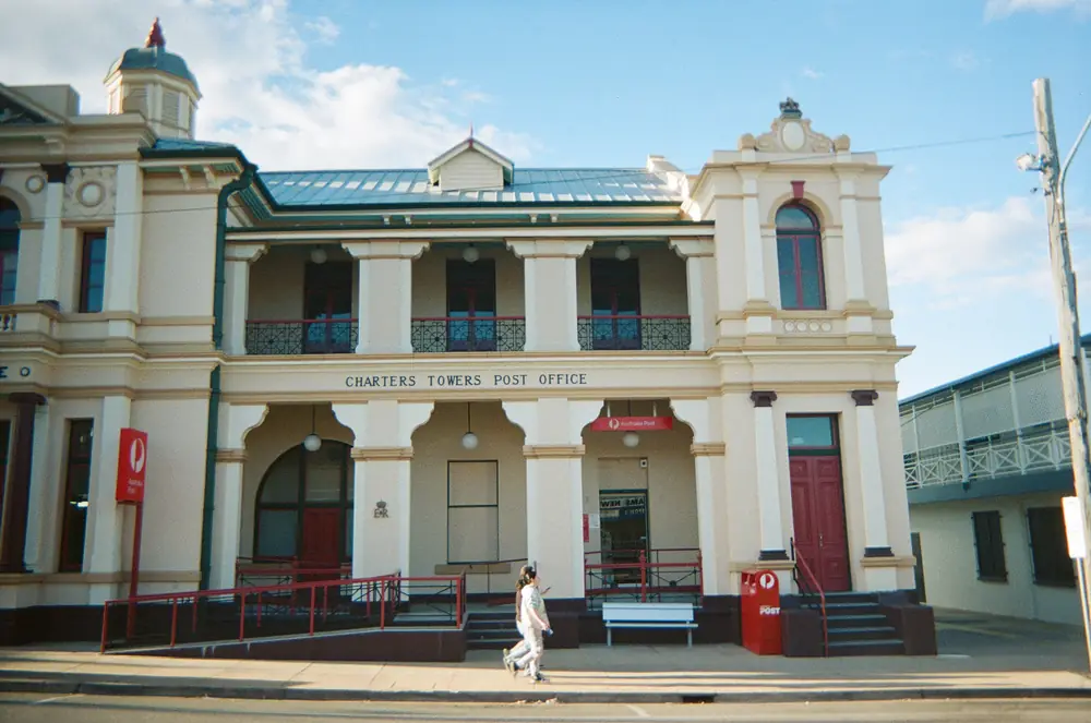
Charters Towers Post OfficePhoto: Ridiculopathy · CC0 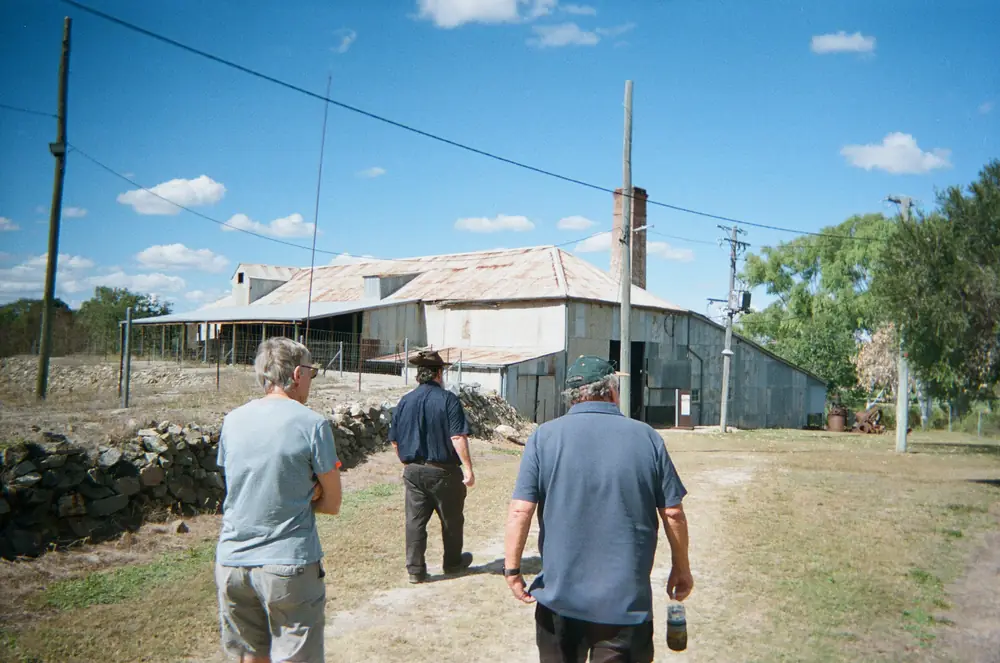
A guided tour at Venus State Battery in Charters TowersPhoto: Ridiculopathy · CC0
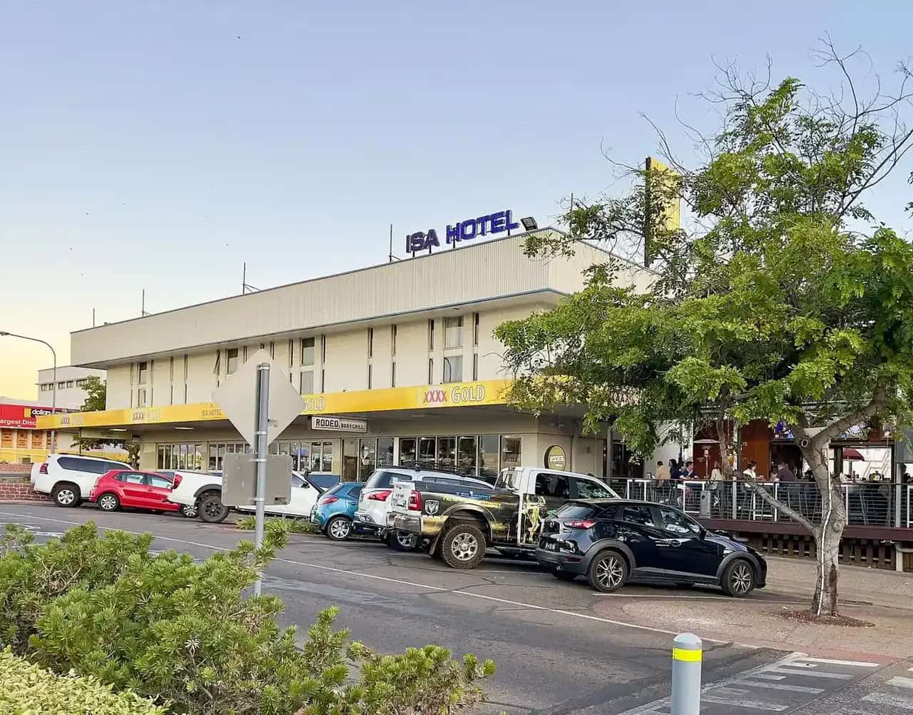
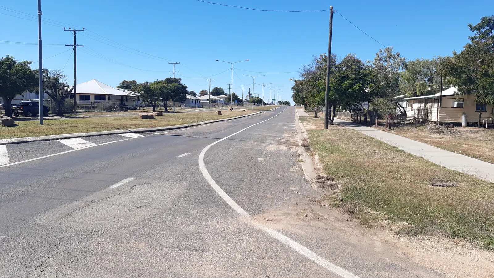
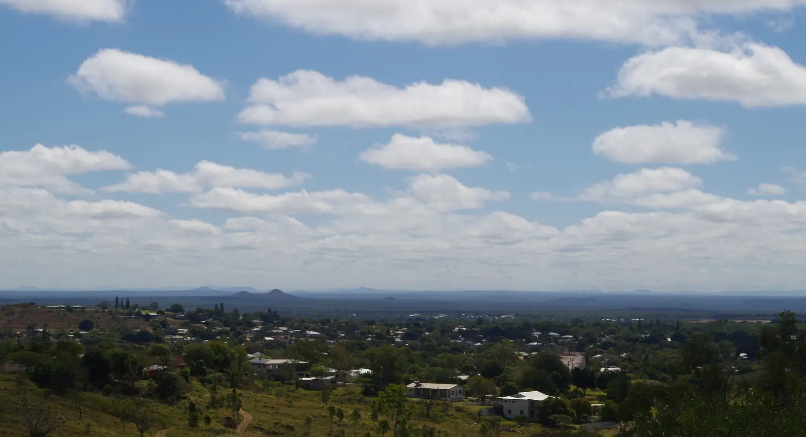
Charters Towers stands on Gudjal Country (pronounced Goodjal) in inland north Queensland, 130 km south-west of Townsville on the Flinders Highway — the Overlander’s Way — and 770 km from Mount Isa. Visit Charters Towers calls it a scenic gold-mining city, affectionately “The World”, about ninety minutes from the coast. The 2021 Census counted 8,040 people in the urban centre. It is a heritage streetscape, not a ghost town: mosman and Gill streets still carry the brick and verandahs of the rush, and the visitor centre sits in the middle of them.
Gudjal people, Visit Charters Towers records, lived along the Burdekin and Broughton Rivers, around the basalt lagoons, and west to White Mountains National Park. Neighbouring nations named on that history page are Gugu Badhun, Yirandali and Jangga. Visit as a guest; see visiting Country respectfully.
Where is Charters Towers
The city is in the Outback North directory region, on the Great Dividing Range inland of Townsville. Visit Charters Towers: follow the Overlander’s Way from Townsville in the east or Mount Isa in the west, or the Gregory Developmental Road (Great Inland Way) from the north or south. All of those approaches used for ordinary travel are sealed; still check QLDTraffic (13 19 40).
Brisbane kilometres are not published on the official tourism and council pages used here. This guide will not insert a third-party figure.
West along the Flinders Highway you reach Hughenden and the Queensland Dinosaur Trail. White Mountains National Park lies west on Gudjal Country, with visitor information also at Hughenden’s Flinders Discovery Centre.
Things to do in Charters Towers
Charters Towers Visitor Information Centre, 74 Mosman Street. Monday–Friday 8:30am–4:00pm; Saturday, Sunday and public holidays 9:00am–12:00pm. (07) 4761 5533, tourinfo@charterstowers.qld.gov.au. Book Venus Battery tours here. Start with the heritage streets outside the door.
Venus Gold Battery, 200 Jardine Street, about 4 km from the VIC. Established July 1872, operated into the 1970s; described in visitor material as Queensland’s oldest surviving gold battery. Guided tours; confirm times at the VIC. We do not publish ticket prices.
Stock Exchange Arcade, Gill and Mosman Streets. Visit Charters Towers: one of the first regional stock exchanges in Australia, still standing at that intersection from the rush years when the town listed 11 crushing mills and 65 hotels.
Towers Hill. Visitor material describes the discovery area, Second World War ammunition dumps, and a Ghosts After Dark film. Confirm session times at the VIC rather than assuming a nightly screening.
Heritage streetscape. Mosman and Gill streets are the walk. Visit Charters Towers’ history page places the first gold near the modern intersection of Mosman Street, Rainbow Road and Black Jack Road, at the end of 1871 or the very beginning of 1872.
White Mountains National Park, west of the city. QPWS: 112,000 hectares of white sandstone, 14 ecosystems in the Desert Uplands, Burra Range lookout, seasonal wildflowers in cooler months, and a recharge area for the Great Artesian Basin. No domestic animals. Chemical-toilet dump points are named at Charters Towers and Hughenden. Never drive rain-affected park roads. Check parks.qld.gov.au alerts.
A longer things to do page sits beside this hub.
History — Jupiter Mosman and “The World”
Visit Charters Towers’ city and history pages are the sources for this summary.
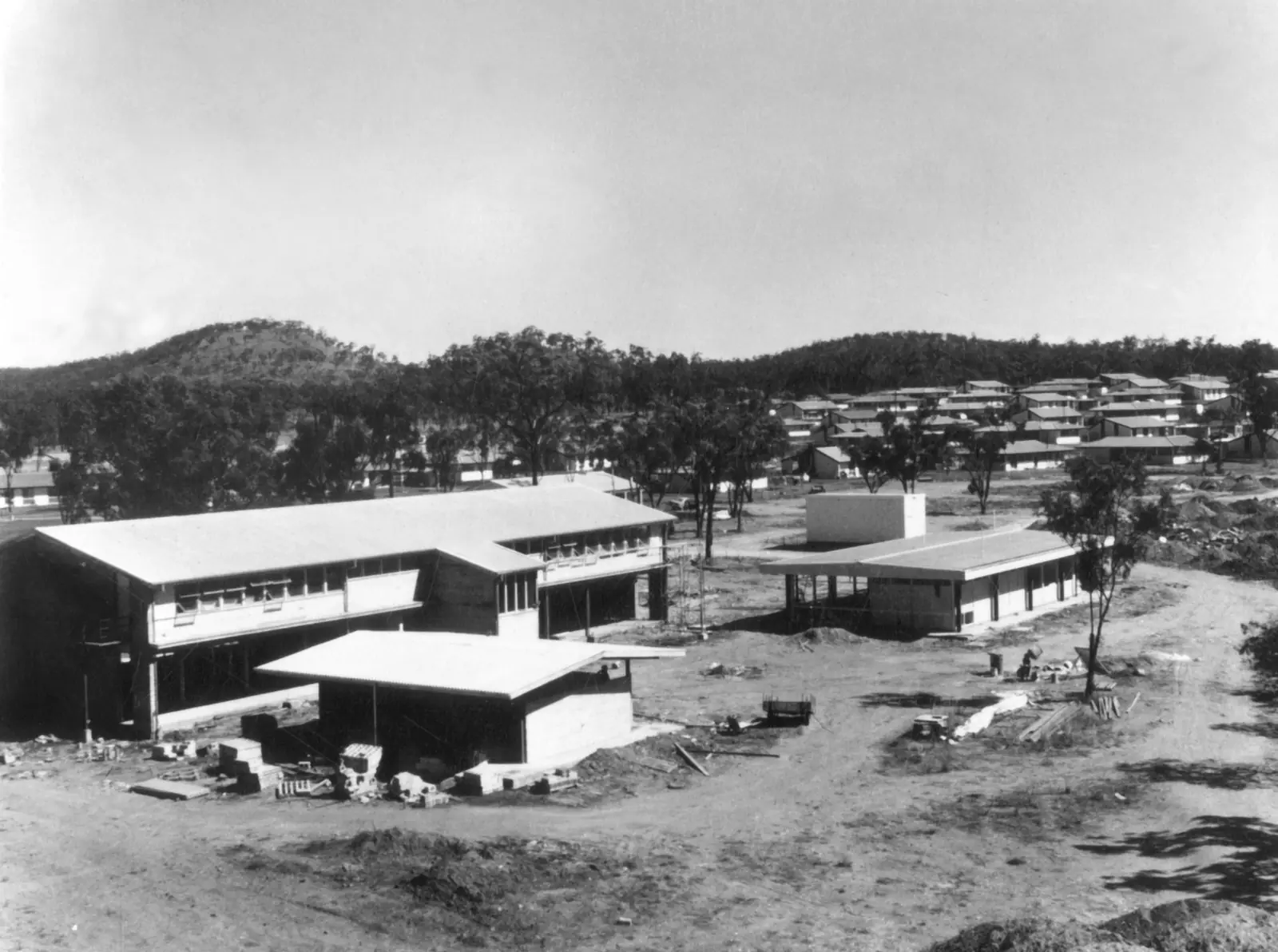
Gold was found in 1871 by Aboriginal horse boy Jupiter Mosman, with Hugh Mosman, George Clarke and John Fraser, after horses scattered in a thunderstorm. The goldfield was proclaimed 1872. The name honours W.S.E.M. Charters, the Gold Commissioner, and the conical hills — the “towers”. A rush followed. Millchester formed on Gladstone Creek; Charters Towers became the main settlement. Visit Charters Towers’ history narrative describes some 3,000 people on the field by the end of 1872, a peak of gold production in 1899, and a city of some 25,000 inhabitants in that heyday, with formed streets, grand public buildings, water pumped from a Burdekin weir, and underground electricity in parts of town. The same page estimates six million ounces of gold in the first 40 to 50 years. Those historical figures are the visitor organisation’s, not Census counts.
At the height of the rush Visit Charters Towers lists 11 crushing mills, 65 hotels, and the stock exchange. It was said everything you might desire could be had in the Towers — hence “The World”. Mining declined after the First World War; the town became a supply and education hub for the old Dalrymple Shire and north Queensland boarders. Venus Battery kept working into the 1970s.
European pastoral settlement of the Kennedy district opened in January 1861. Visit Charters Towers traces earlier European interest to Ludwig Leichhardt on the Burdekin in 1844–45 and to George Elphinstone Dalrymple. Gold rewards on the Cape, Gilbert and Ravenswood fields preceded the Towers find. This guide does not invent a frontier battle narrative beyond what that heritage page states.
Getting there
- Road: Flinders Highway from Townsville (130 km) or Mount Isa (770 km); Gregory Developmental Road north–south. Sealed.
- QLDTraffic: 13 19 40.
- Air and rail: not detailed on the visitor pages used for distances; ask the VIC rather than inventing a flight list.
Fatigue, cattle, road trains and wildlife are the highway hazards. Plan to arrive before dusk. Summer storms can close floodways even on sealed roads.
Weather and when to go
Charters Towers Airport (station 034084; 20.05°S, 146.27°E; elevation 292 m; commenced 1942) has a mean annual rainfall of 651.3 mm (29 years, 1992–2026). January averages 150.5 mm; September 8.3 mm. Hottest mean max: December 34.7 °C. Coolest mean max: July 25.1 °C. Mean July minimum is 11.7 °C — cooler nights than Cape York, not a frost-tourism climate.
April to September is the comfortable travel window: dry, warm days, heritage walks that do not flatten you at 3 pm. Summer is hot and stormy. See Charters Towers weather.
Where to stay
Visit Charters Towers describes caravan parks (including award-winning parks in their wording), motels, and a free riverside camp. Named operators belong at the VIC, not in an invented list. We do not publish site fees. See accommodation and caravan parks.
Population, food and safety
8,040 people (2021 UCL), median age 40, 48.4% male / 51.6% female. That is a regional city: supermarkets, fuel, a hospital, schools. Restock here before Hughenden and the long Flinders run west.
White Mountains is a dry sandstone park most of the year. Carry water. QPWS: no driving on rain-affected roads; no pets; come-clean go-clean for weeds.
A suggested stay
Day 1. VIC on Mosman Street. Walk Gill and Mosman, Stock Exchange Arcade, heritage facades. Towers Hill in the late afternoon if the VIC confirms access and any film time.
Day 2. Venus Gold Battery guided tour. Millchester and Gladstone Creek only if the VIC still interprets that precinct for visitors — do not wander into unmarked shafts.
Day 3. White Mountains if roads are dry, or drive west to Hughenden for Porcupine Gorge and the dinosaur trail. Alternatively a rest day in a city that still functions as a service centre.
Practical information
- Country: Gudjal.
- From Townsville: 130 km / about 90 minutes on the Flinders Highway.
- From Mount Isa: 770 km.
- Visitor centre: 74 Mosman Street, (07) 4761 5533.
- Related: Hughenden, Mount Isa, Ravenswood, Homestead, Pentland, Outback North.
Plan this trip
Tell us the dates, who you are travelling with and where you need help. We reply with planning notes for Charters Towers — we are not a booking agent.
Events and road-conditions newsletter
Occasional notes on outback festivals, race days and official road-condition sources — not a daily blast. We use these details only to send the newsletter.
Charters Towers · Outback Queensland
Things to do
Things to do in Charters Towers on Gudjal Country: Visitor Information Centre, Venus Gold Battery tours, Stock Exchange Arcade, Towers Hill and White Mountains National Park.
Read · 4 min
Charters Towers · Outback Queensland
Accommodation
Where to stay in Charters Towers, Queensland: motels, caravan parks and a free riverside camp named as categories by Visit Charters Towers — confirm operators at 74 Mosman Street, no invented prices.
Read · 3 min
Charters Towers · Outback Queensland
Caravan parks
Caravan parks in Charters Towers, Queensland: town parks and a free riverside camp as described by Visit Charters Towers, confirmed at the Mosman Street visitor centre — no invented parks or site fees.
Read · 3 min
Charters Towers · Outback Queensland
Weather
Charters Towers weather from Bureau of Meteorology station 034084: 651.3 mm a year, January 150.5 mm, September 8.3 mm, December heat, and what that means for the Flinders Highway.
Read · 3 min
Frequently asked questions
How far is Charters Towers from Townsville?
Visit Charters Towers and the regional council’s economic strategy put the city about 130 km south-west of Townsville on the Flinders Highway (Overlander’s Way), about a 90-minute drive from the coast. The same visitor page lists 770 km from Mount Isa. Brisbane kilometres are not on those official pages.
What is the population of Charters Towers?
The 2021 Census counted 8,040 people in the Charters Towers urban centre (UCL314007). Median age was 40. Do not use the whole local government area figure (11,794) for the city proper.
Whose Country is Charters Towers on?
Visit Charters Towers names the Gudjal people (pronounced Goodjal) as Traditional Owners, especially along the Burdekin and Broughton Rivers, the basalt lagoons, and west to White Mountains National Park. Gudjal country shares borders with Gugu Badhun, Yirandali and Jangga peoples.
What is the Venus Gold Battery?
Visit Charters Towers and associated visitor material describe Venus Gold Battery at 200 Jardine Street, about 4 km from the visitor centre, established in July 1872 and operated into the 1970s — Queensland’s oldest surviving gold battery. Guided tours are booked through the visitor centre. Confirm session times locally; this page does not publish a ticket price.
Is Charters Towers wet in summer?
Yes, relative to its dry spring. Charters Towers Airport mean rainfall is 150.5 mm in January and 8.3 mm in September, with an annual mean of 651.3 mm. December has the hottest mean maximum, 34.7 °C; July the coolest, 25.1 °C.
Why was Charters Towers called “The World”?
Visit Charters Towers uses the gold-rush nickname for a booming inland city that, in its heyday, was described as Queensland’s second-largest, with 11 crushing mills, 65 hotels and an early regional stock exchange still standing at Gill and Mosman Streets.
Sources and further reading
Facts on this page were checked against these primary and official sources. Conditions change — confirm before you travel or buy.
- Charters Towers 2021 Census QuickStats (UCL314007) — Australian Bureau of Statistics
- Charters Towers city — Visit Charters Towers
- History and heritage — Visit Charters Towers
- Visitor information centre — Charters Towers Regional Council
- White Mountains National Park — Queensland Parks and Wildlife Service
- Climate statistics for Charters Towers Airport (034084) — Bureau of Meteorology
- Charters Towers 2021 Census QuickStats (UCL314007) — Australian Bureau of Statistics
- QLDTraffic — Queensland Government