At a glance
Sourced facts only. Distances and services change — confirm before you travel.
- Local government
- District Council of Orroroo Carrieton
- Traditional Owners
- Ngadjuri (Visit Orroroo history: originally inhabited by the Ngadjuri people)SATC’s Pekina Creek Aboriginal Rock Carvings listing describes carvings on the walking trail without flattening a second nation name onto the townsite. Parks SA names Adnyamathanha for Ikara-Flinders Ranges National Park further north. Do not flatten that park sentence here.
- Nearest regional city
- Peterborough is the neighbour District Council of Peterborough signs a road toward. Yongala is 10 km west of Peterborough on that council attractions page. An Orroroo–Yongala kilometre was not printed on the sourced SATC or Visit Orroroo pages used here.
- Capital
- District Council of Peterborough puts Peterborough approximately 250 km north of Adelaide. An Orroroo townsite–Adelaide kilometre was not on the sourced SATC visitor-centre listing.
- Nearest fuel
- SATC treats Orroroo Carrieton as a mid-north stopover on a key east–west touring route. Confirm bowsers in town; this guide does not name a brand.
- Nearest hospital or clinic
- A current SA Health hospital URL for Orroroo did not return on the fetch used here. Peterborough Soldiers’ Memorial Hospital and Health Service is the named neighbour hospital on this site’s Peterborough hub. Emergencies 000.
- Mobile coverage
- Check Telstra and Optus coverage maps before travel; coverage is generally better in town than on unsealed station tracks.
- Best time to visit
- Cooler months; BOM Yongala January mean max 30.9 °C, July 12.9 °C (no Orroroo climate-averages table)
Climate
Monthly means from the Bureau of Meteorology station Yongala (019062). This is not a forecast. BOM does not publish an Orroroo climate-averages table (station 019005 returned 404 on the fetch used here). Nearest open table used here is Yongala, 10 km west of Peterborough on the District Council of Peterborough attractions page. Temperature 99 years (1926–2026); rainfall 142 years (1881–2026). Elevation 521 m. Do not invent an Orroroo–Yongala kilometre. Do not blend with Hawker.
| Month | Mean max (°C) | Mean min (°C) | Rainfall (mm) |
|---|---|---|---|
| Jan | 30.9 | 13.6 | 22.8 |
| Feb | 30.2 | 13.5 | 20.8 |
| Mar | 27.2 | 10.9 | 16.6 |
| Apr | 22.0 | 7.3 | 24.7 |
| May | 17.2 | 4.7 | 34.0 |
| Jun | 13.6 | 2.9 | 38.8 |
| Jul | 12.9 | 2.3 | 38.7 |
| Aug | 14.5 | 2.6 | 42.3 |
| Sep | 18.1 | 4.1 | 37.4 |
| Oct | 22.0 | 6.3 | 32.7 |
| Nov | 25.8 | 9.3 | 28.9 |
| Dec | 28.7 | 11.7 | 24.4 |
Orroroo in pictures
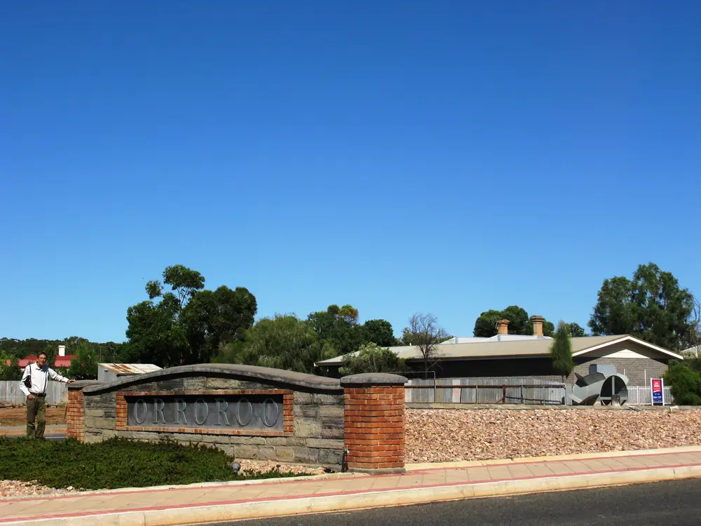
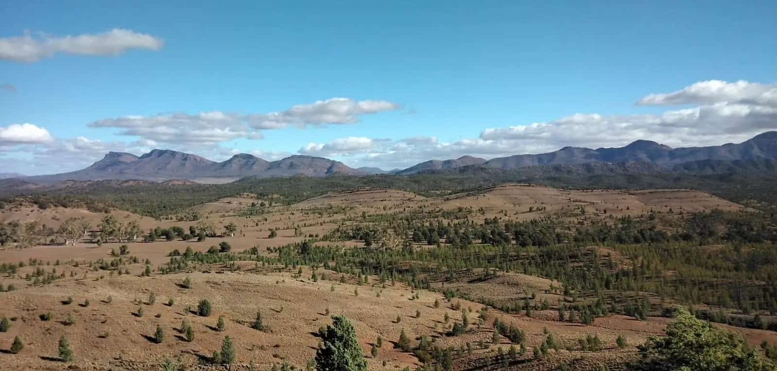
Entrance sign at OrrorooPhoto: Doug butler · CC BY-SA 4.0 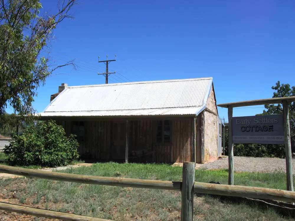
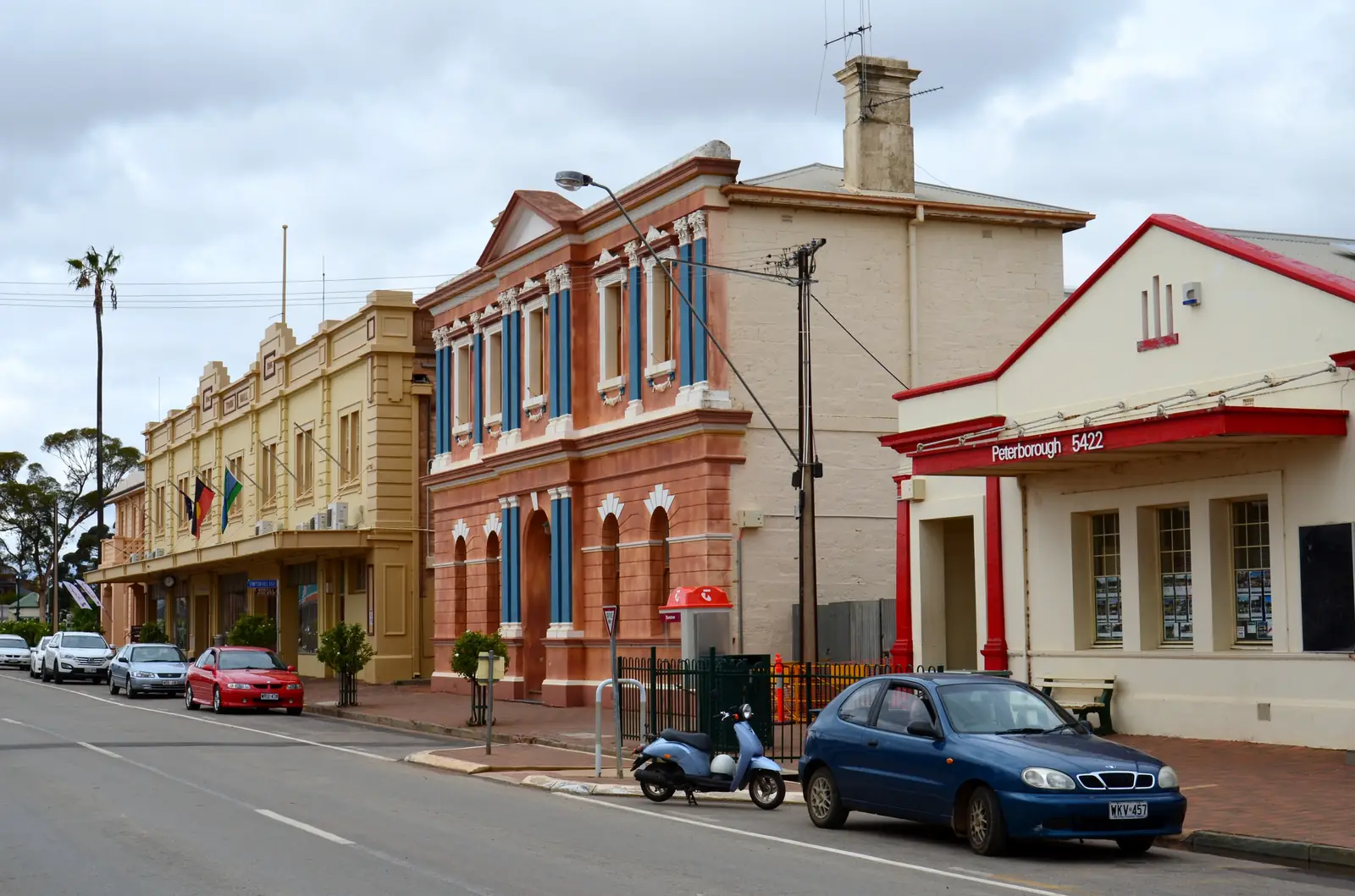
Restored settler cottage in OrrorooPhoto: Doug butler · CC BY-SA 4.0 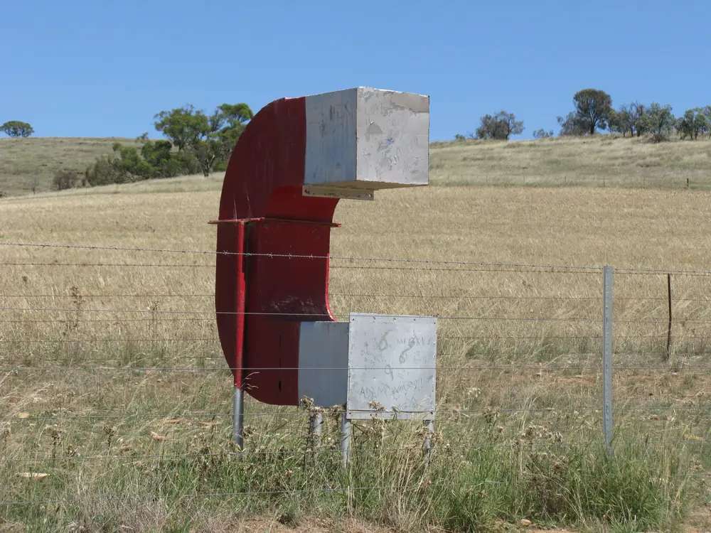
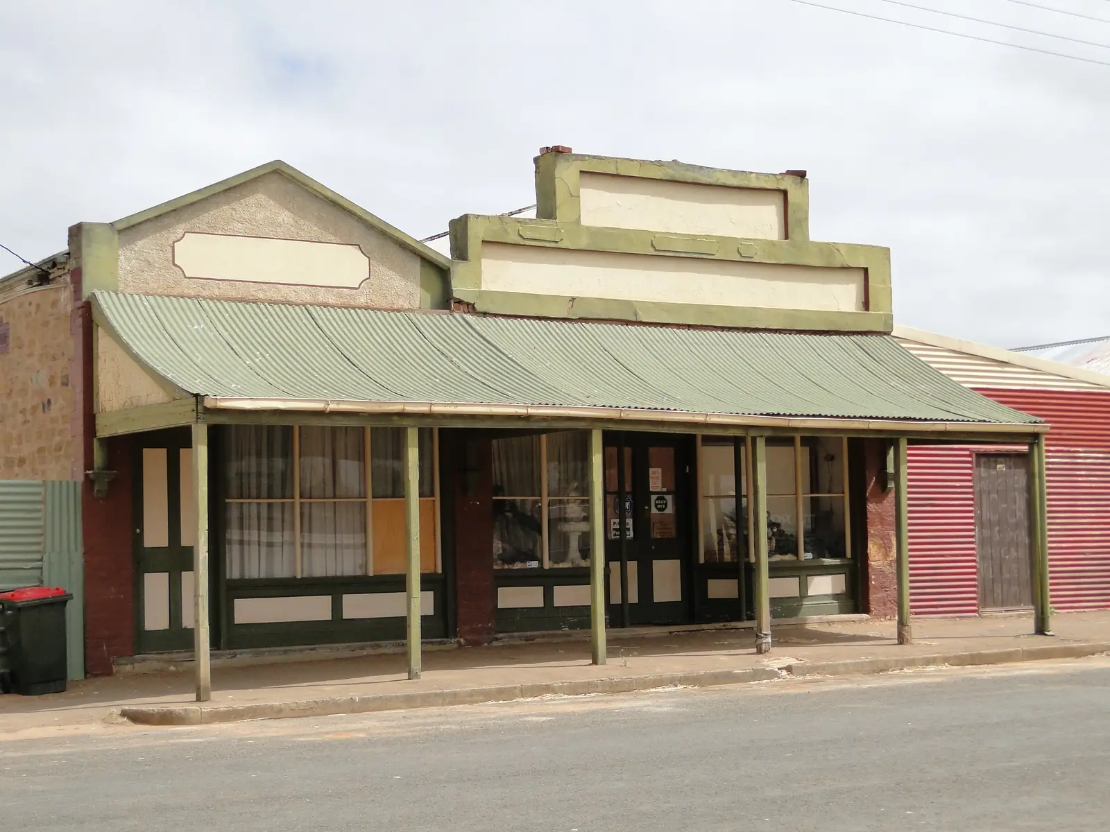
Magnet Hill sculpture near OrrorooPhoto: Doug butler · CC BY-SA 4.0 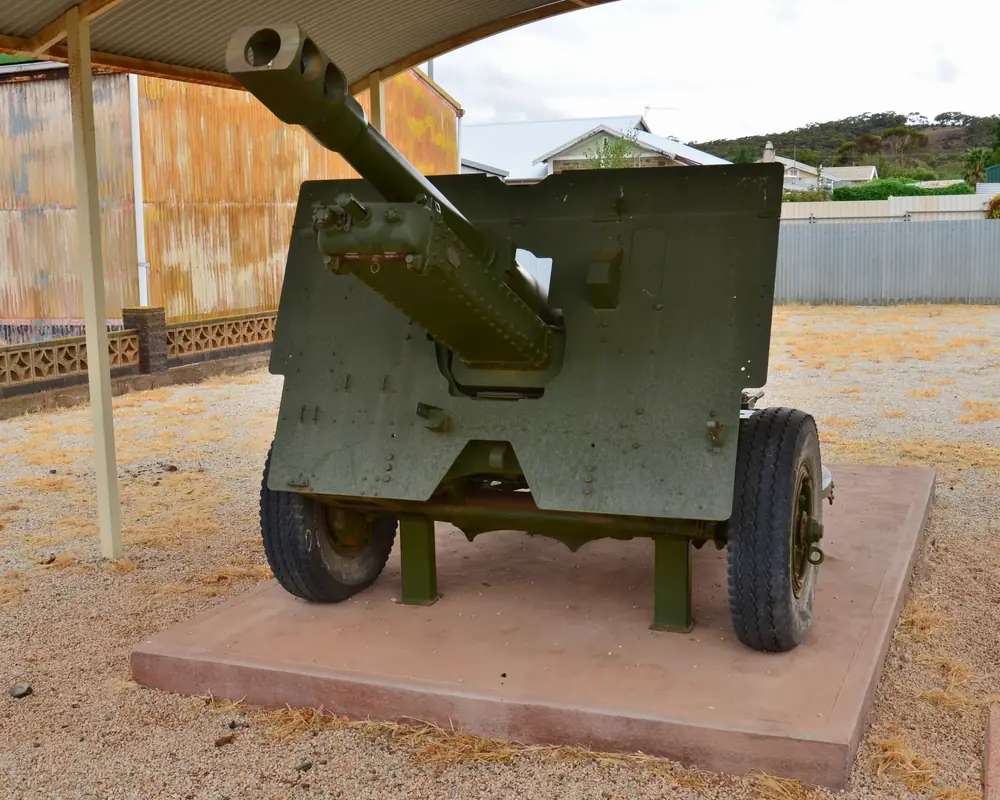
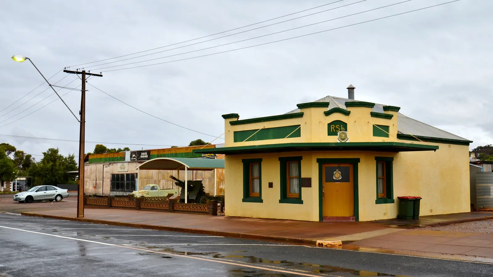
Twenty-five pounder beside the RSL in OrrorooPhoto: Bahnfrend · CC BY-SA 4.0
Orroroo is a Southern Flinders / Mid North town in the Flinders Ranges listing on this site, the stop SATC’s visitor-centre copy still calls a Gateway to the Flinders Ranges. The listing address is 17 Second Street, Orroroo, 5431, phone 08 8658 1260, website visitorroroo.com.au. This hub is South Australia, not Orroroo in New South Wales, and not a second Peterborough Steamtown street. District Council of Peterborough signs a town-entry road to Orroroo.
Visit Orroroo’s history page is the naming story used here. Orroroo, originally inhabited by the Ngadjuri people, was first explored by Edward John Eyre and his party from 1839. Historic rock carvings sit on the Pekina Creek walking trail. In 1865 Surveyor-General George Woodroffe Goyder mapped his line of demarcation. The Hundred of Walloway opened for sale in 1876. Most settlers held 640-acre blocks. By 1878, Orroroo was a very small settlement expanding into allotments in town.
The 2021 Census counted 516 people in the Orroroo (L) urban centre (UCL421029), median age 55, sex split 47.6% male / 52.4% female. 124 families, 286 private dwellings. Suburbs-and-localities SAL41079 counted 578 people, median age 54, 137 families, 323 dwellings, 2.1 people per household. Use UCL for the town, the same way this site treats Peterborough.
Where it is, and how far
Orroroo sits in SATC’s Southern Flinders Ranges copy, on a key east–west touring route that listing treats as a stopover. This site’s Peterborough hub already names RM Williams Way as that neighbour’s highway hinge; District Council of Peterborough signs four town-entry roads, one of them to Orroroo. Yongala is 10 km west of Peterborough on that council attractions page. Black Rock Gallery is 25 km north toward Orroroo (currently closed on that page). An Orroroo–Peterborough kilometre was not printed on the sourced SATC visitor-centre listing, so this hub does not invent one.
Terowie is the rail town south of Peterborough on this wave. Hawker and Quorn are the Flinders service towns if you keep going. Port Augusta is the gulf crossroads. Ikara-Flinders Ranges National Park is a nearby park on Hawker’s own guide — not an Orroroo main-street walk.
| Place | Distance from Orroroo (sourced) |
|---|---|
| Peterborough | Road signed to Orroroo from Peterborough town-entry (District Council of Peterborough). No kilometre on the sourced SATC visitor-centre listing. |
| Black Rock Gallery | 25 km north of Peterborough toward Orroroo (Peterborough council; currently closed) |
| Adelaide via Peterborough | Peterborough approximately 250 km north of Adelaide (Peterborough council location page) — not an Orroroo townsite kilometre |
| SATC visitor centre | 17 Second Street, Orroroo 5431 |
Facts at a glance
Population. ABS 2021 UCL421029: 516. SAL41079: 578. Use UCL for the town. See UCL QuickStats.
Climate. BOM’s SA named list has no live Orroroo table. YONGALA, 019062, 33.03°S, 138.76°E, elevation 521 m, commenced 1881, status open, latest available data 14 October 2026. Mean maximum (99 years, 1926–2026): January 30.9 °C, July 12.9 °C, annual 21.9 °C. Mean minimum: January 13.6 °C, July 2.3 °C, annual 7.4 °C. Mean rainfall (142 years, 1881–2026): annual 361.6 mm. August 42.3 mm wettest; March 16.6 mm driest. Mean days of rain ≥ 1 mm: 54.6. See Orroroo weather.
Visitor information. SATC: Orroroo Visitor Centre, 17 Second Street, 08 8658 1260, visitorroroo.com.au. Roads: Traffic SA.
Traditional Owners
Visit Orroroo: originally inhabited by the Ngadjuri people. Historic rock carvings on the Pekina Creek walking trail are estimated on that history page to be many thousands of years old.
SATC’s Pekina Creek Aboriginal Rock Carvings listing: Pool Road, Orroroo 5431, a short walk from the main street, free, along the rocky banks of the Pekina walking trail. The carvings are believed on that listing to indicate a map of local food sources, important cultural stories and connections to Country. Facilities named there include barbeque, carpark, picnic area and public toilet. Phone 08 8658 1260. Stay on the public trail. See visiting Country respectfully.
Do not flatten Parks SA’s Adnyamathanha wording for Ikara-Flinders Ranges National Park onto this townsite.
History
Visit Orroroo history: Eyre from 1839; Goyder’s line 1865; Hundred of Walloway 1876; 640-acre blocks; town expanding 1878. The district is known for seasons “Good and Bad” on that page — prosperous years and successive years of low rainfall, duststorms and creek floodings.
The Orroroo Historical Society sits in the former Masonic Lodge on Fourth Street, with displays on the Pekina Irrigation Scheme in 1906, the Walloway Butter Factory, and the Walloway train crash. Arrange a visit via the Visitor Information Centre. Construction of the Orroroo Memorial Hall commenced in 1880 on the attractions listing; the hall holds the King’s Prize Trophy and honour boards.
That is a mid-north pastoral-and-wheat founding, not Peterborough’s 100-movements-a-day steam hub.
Things to do
Official named things to do sit in town and on Pekina Creek.
- Giant Red Gum — SATC: one of Australia’s largest river red gums. Visit Orroroo: Eucalyptus camaldulensis, also called “Widow Maker”; estimated over 500 years; 10.4 metres (34 feet) circumference; 6 metres (20 feet) to the fork; picnic shelter and electric barbeque; easy parking for caravans
- Pekina Creek Trail — Visit Orroroo: Category 2, Easy to Moderate, 2.9 km, from Lions Park; river red gums; old water pipes; Aboriginal carvings; reservoir option; rock poem
- Rendezvous of the Magpie town walk — Visit Orroroo: Category 1 Easy, approx. 2.5 km, ten historic locations
- Lions Park — short walk from the caravan park along Pekina Creek on the attractions listing; electric barbecues, picnic settings, nature playground and toilets on the walking page
- Solly’s Hut / Early Settlers Cottage — Visit Orroroo attractions
- Black Rock Woolpress — Visit Orroroo attractions
- Memorial Hall and King’s Prize Trophy — Visit Orroroo
- Station 4WD — SATC names Bendleby Ranges, Horseshoe Range and Almerta Station as station-life stays with 4WD tracks, hiking and mountain biking
- Magnetic Hill trail map — named on Visit Orroroo’s explore menu; confirm the drive at the visitor centre rather than inventing a kilometre
Where to stay
SATC names caravan sites among visitor-centre facilities. Visit Orroroo’s stay page names Almerta Station, Bendleby Ranges, Black Jack Get-A-Way, Carrieton Caravan Park, Commercial Hotel Motel, Coonatto Station, Orroroo Caravan Park (cabins ensuite and standard, powered sites) and Orroroo Hotel. Those are official named types on the council tourism site, not a ranked motel strip.
- How to choose: Orroroo accommodation
- Camping detail: Orroroo caravan parks
- Operator enquiries: feature your business
Caravan and camping
Visit Orroroo names Orroroo Caravan Park on Second Street: ensuite and standard cabins, powered sites, drive-through sites, lawn or gravel, camp kitchen, BBQ, dump point, seasonal fire pit, pet friendly, laundry. Golf club sits on West Terrace next to the caravan park on the get-outdoors page. SATC also ticks caravan sites at the visitor-centre listing. Read Orroroo caravan parks and outback camping.
Fuel and services
A town of 516 people will not match Port Augusta for a hospital. SATC’s visitor-centre facilities list includes cafe, shop, swimming pool, public toilet, picnic area, barbeque and carpark. Confirm fuel in town; this guide does not list brands. A current SA Health hospital URL for Orroroo did not return on the fetch used here — do not invent a clinic hour. Peterborough’s named hospital sits on that neighbour hub. Emergencies 000. Visitor questions: 08 8658 1260.
Road access
SATC: a key east–west touring route. Peterborough council signs the road to Orroroo. Unsealed station tracks to Bendleby, Horseshoe and Almerta are a desk question, not a main-street bitumen assumption. Check Traffic SA after rain. Closed means closed.
Nearby parks and towns
Parks (nearby, not in-town):
- Ikara-Flinders Ranges National Park — via Hawker on this site, not an Orroroo street
Towns on this site:
- Peterborough — neighbour; road signed to Orroroo
- Terowie — rail town south of Peterborough
- Hawker and Quorn — Flinders service towns
- Port Augusta — gulf crossroads
Named, not linked: Carrieton, Pekina, Morchard, Johnburgh, Walloway, Black Rock, Yongala, Jamestown.
When to go, and how long
Yongala’s January mean maximum of 30.9 °C is hot for a creek-side carving walk at midday. July’s 12.9 °C mean maximum and 2.3 °C mean minimum is the comfortable walking season on paper and a cold van night at 521 m. August 42.3 mm is the wettest mean month — a southern winter-rain pattern.
A half day covers the Giant Gum, Lions Park and the town walk if the visitor centre is open. A full day covers Pekina Creek and the Historical Society by appointment. Two nights if you are adding a named station stay. SATC’s own sermon is to stay longer than a stopover.
Operators who want a checked listing: feature your business. The listings slot on this hub stays empty until then.
Plan this trip
Tell us the dates, who you are travelling with and where you need help. We reply with planning notes for Orroroo — we are not a booking agent.
Events and road-conditions newsletter
Occasional notes on outback festivals, race days and official road-condition sources — not a daily blast. We use these details only to send the newsletter.
South Australia · Flinders Ranges
Orroroo accommodation
Where to stay in Orroroo: Visit Orroroo names Orroroo Caravan Park, Orroroo Hotel, Commercial Hotel Motel and district station stays. Confirm before you unhitch. Not Orroroo NSW.
Read · 3 min
South Australia · Flinders Ranges
Orroroo caravan parks
Camping in Orroroo: Visit Orroroo names Orroroo Caravan Park on Second Street plus Carrieton Caravan Park in the district. Confirm before you unhitch. Not Orroroo NSW.
Read · 3 min
South Australia · Flinders Ranges
Orroroo weather
Orroroo SA climate from BOM Yongala (019062): January mean max 30.9 °C, July 12.9 °C, annual rainfall 361.6 mm. No live Orroroo BOM table. Not Orroroo NSW.
Read · 3 min
South Australia · Flinders Ranges
Things to do in Orroroo
Things to do in Orroroo: SATC Giant Red Gum and Pekina Creek Aboriginal rock carvings, Visit Orroroo town walk and Lions Park. Not Orroroo NSW.
Read · 4 min
Frequently asked questions
Is this Orroroo South Australia or Orroroo in New South Wales?
This hub is Orroroo in the District Council of Orroroo Carrieton, South Australia. SATC’s visitor-centre listing places it in the Southern Flinders Ranges / Mid North, postcode 5431, 17 Second Street. It is not Orroroo in New South Wales and not a second Peterborough railyard.
What is Orroroo’s population?
516 people at the 2021 Census for the Orroroo (L) urban centre (UCL421029), median age 55, sex split 47.6% male / 52.4% female. 124 families, 286 private dwellings. Suburbs-and-localities SAL41079 counted 578 people, median age 54, 137 families, 323 dwellings, 2.1 people per household. Use UCL for the town.
Whose Country is Orroroo?
Visit Orroroo’s history page: originally inhabited by the Ngadjuri people. Historic rock carvings sit on the Pekina Creek walking trail. SATC’s Pekina Creek Aboriginal Rock Carvings listing is Pool Road, Orroroo 5431.
How far is Orroroo from Peterborough and Adelaide?
District Council of Peterborough signs a town-entry road to Orroroo and puts Black Rock Gallery 25 km north toward Orroroo (currently closed on that page). The same council puts Peterborough approximately 250 km north of Adelaide. An Orroroo townsite–Adelaide or Orroroo–Peterborough kilometre was not on the sourced SATC visitor-centre listing.
What is the weather like in Orroroo?
BOM does not publish an Orroroo climate-averages table. This guide uses Yongala (019062): January mean maximum 30.9 °C, July 12.9 °C, annual rainfall 361.6 mm (142 years, 1881–2026). Temperature means use 99 years (1926–2026). Latest available data 14 October 2026.
Can I camp in Orroroo?
Yes, as named types. SATC’s visitor-centre listing names caravan / camper trailer / campervan sites / campsites among facilities. Visit Orroroo’s stay page names Orroroo Caravan Park (cabins ensuite and standard, powered sites) and Carrieton Caravan Park in the district. Confirm sites when you arrive.
Sources and further reading
Facts on this page were checked against these primary and official sources. Conditions change — confirm before you travel or buy.
- Orroroo (L) 2021 Census QuickStats (UCL421029) — Australian Bureau of Statistics
- Orroroo 2021 Census QuickStats (SAL41079) — Australian Bureau of Statistics
- Climate statistics for Yongala (019062) — Bureau of Meteorology
- Orroroo Visitor Centre — South Australian Tourism Commission
- Pekina Creek Aboriginal Rock Carvings — South Australian Tourism Commission
- History — Visit Orroroo (District Council of Orroroo Carrieton tourism)
- Attractions — Visit Orroroo
- Stay — Visit Orroroo
- Walking — Visit Orroroo
- The Giant Gum Tree — Visit Orroroo
- Orroroo Caravan Park — Visit Orroroo
- Attractions (Peterborough) — District Council of Peterborough
- Location (Peterborough) — District Council of Peterborough
- Traffic SA — Government of South Australia