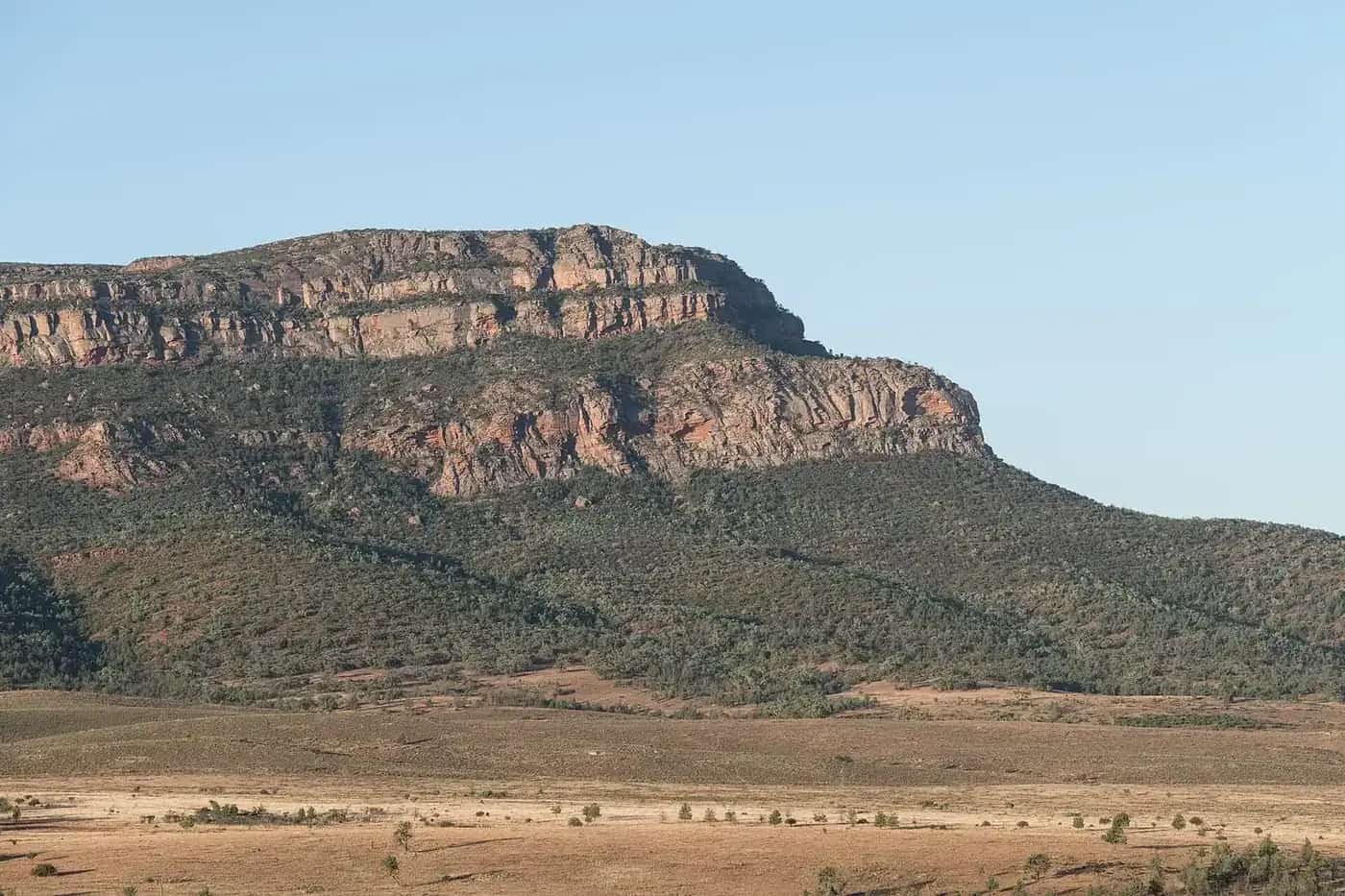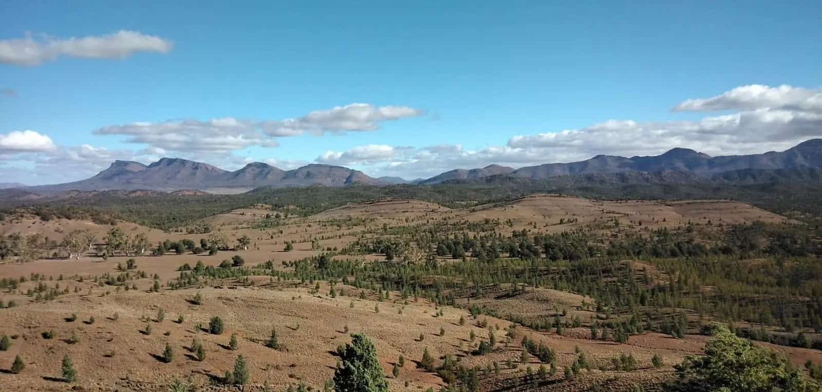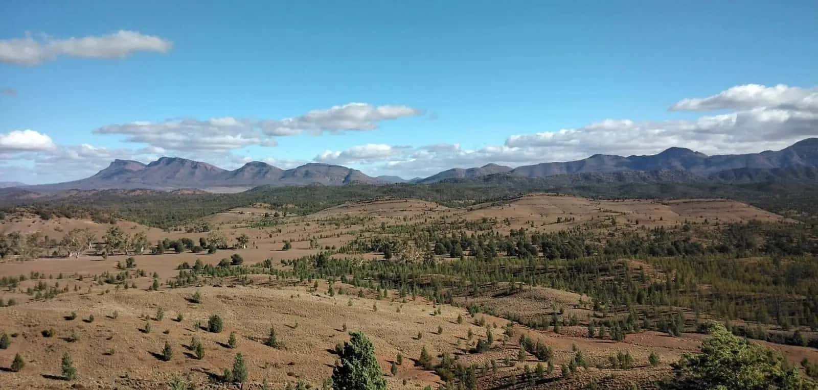
The Flinders Ranges are among the oldest landscapes in Australia: folded quartzite ridges, the natural amphitheatre of Wilpena Pound (Ikara), and rock layers that record hundreds of millions of years of Earth history, including Ediacara fossils of some of the earliest complex life. For many people this is the first outback trip from Adelaide — three to five hours' drive, sealed highways, and a proper national park with walks, camping and a visitor centre. This hub collects the town pages that sit on that corridor in the original Outback Now directory: Quorn, Hawker, Parachilna, Beltana, Leigh Creek, Lyndhurst, Arkaroola, Andamooka, Blinman and Copley. Wilpena Pound village still appears throughout the park and state guides; it does not have a standalone town page in this rebuild.
Town guides
Quorn is The Flinders Ranges Council seat and the Pichi Richi Railway town, 40 km from Port Augusta on the official railway page. SATC lists the Flinders Ranges Visitor Information Centre at the station, a free silo light show and stays on Railway Terrace and Silo Road. Parks SA’s Dutchmans Stern and Mount Brown sit just outside town. Use Quorn as the sealed southern gateway before Hawker and Wilpena.
Hawker is about 370 km north of Adelaide and roughly 55 km south of Wilpena Pound. It is the main service town for Ikara-Flinders Ranges National Park: fuel, motels, a caravan park and a visitor information desk. South of town, Yourambulla Caves hold Aboriginal rock art in rock shelters, reached by a short walk. Jarvis Hill Lookout is about 7 km west (the South Australian Tourism Commission warns against using that road when wet, and against towing a caravan up it). The Moralana Scenic Drive and the Kanyaka homestead ruins are other Hawker-based days. Use Hawker as the overnight if Wilpena's seasonal accommodation is full.
Parachilna is a tiny highway town on the western Flinders approach, north of Hawker.
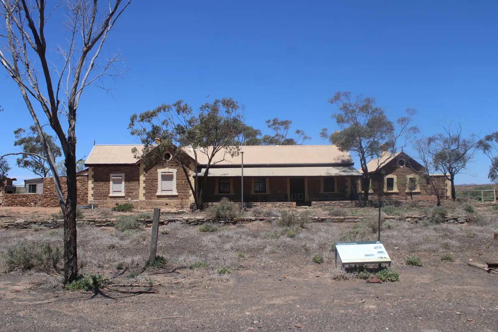
Beltana is a tiny State Heritage town about 540 km north of Adelaide on DEW and SATC pages, and 40 km south of Leigh Creek on DEW. SATC names an interpretive walk among privately owned buildings, a community park and a hall camp. It is not a supermarket town.
Leigh Creek is a planned town in the northern Flinders, about 560 km north of Adelaide. It was built for coal mining; the mine has closed and the town is now a small service base for Vulkathunha-Gammon Ranges National Park, Arkaroola Wilderness Sanctuary and the southern start of the Strzelecki Track towards Innamincka. Distances jump once you leave Leigh Creek. Confirm fuel and opening hours before you rely on the town as a night stop.
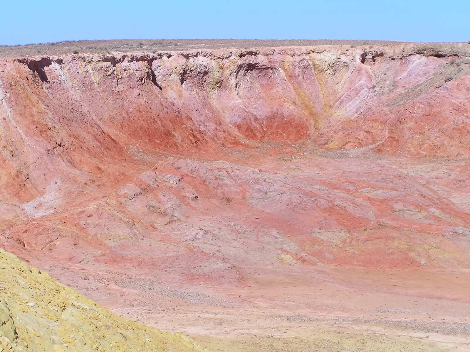
Lyndhurst is the DIT southern end of the Strzelecki Track (Innamincka–Lyndhurst), about 40 km north of Leigh Creek on this site’s Leigh Creek guide. The 2021 Census publishes no people count. Confirm fuel. This is not Lyndoch in the Barossa.
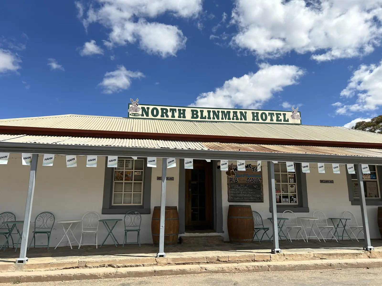
Blinman is the northern Flinders copper town on Adnyamathanha Country, at the Parachilna Gorge Road end of SATC and Heritage wording.
Copley is the northern Flinders locality used as the sealed-road jump for Arkaroola (about 130 km unsealed on the operator’s getting-here page).
Farina is the ruined Great Northern Railway locality north of Lyndhurst, on the sealed road toward Marree.
Nepabunna is the Adnyamathanha community in the northern Flinders — official community and council wording only.
Peterborough is the mid-north rail town SATC names on the Heritage Rail Trail / RM Williams Way (South Australia, not Peterborough UK).
Orroroo is the mid-north RM Williams Way town (South Australia, not Orroroo NSW).
Terowie is the Barrier Highway rail town south of Peterborough.
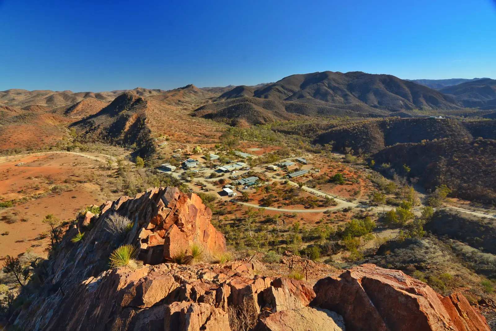
Arkaroola is a northern Flinders wilderness sanctuary and a Census locality of 32 people — not a city. Official access is via Copley (about 130 km unsealed on the operator’s getting-here page). National parks permits are not required for the sanctuary on that same page. The existing Arkaroola tour guide remains; the town page is the directory hub.
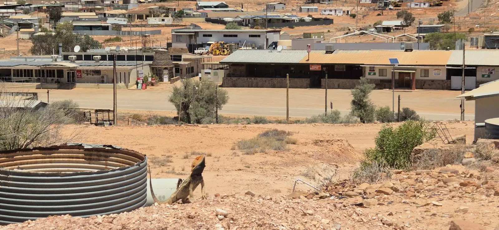
Andamooka is an opal-mining town about 30 km east of Roxby Downs on a sealed road, near Lake Torrens. Opal was found here in 1930. Dugout homes, historic miners' cottages and opal shops give it a rougher character than the planned mining town next door. A Precious Stones Prospecting Permit is required to mine for opal in South Australia; noodling rules differ — check locally. Andamooka sat in this Flinders region in the original directory even though most people reach it via the Stuart Highway and Roxby Downs rather than via Hawker.
The park and the ranges
Ikara-Flinders Ranges National Park is jointly managed with the Adnyamathanha people. Wilpena Pound is the centrepiece. The Brachina Gorge Geological Trail passes signed rock layers. St Mary Peak is the highest point; Adnyamathanha Traditional Owners ask visitors to consider walking to Tanderra Saddle rather than the summit. Wangarra Lookout, via Hills Homestead, is a shorter Pound walk (about 7.8 km return from Wilpena Pound Resort — confirm current track advice with National Parks SA).
Further north, Vulkathunha-Gammon Ranges National Park and Arkaroola offer rugged country, ridgetop tours and dark skies. These are hotter, more remote and more 4WD-oriented than the central Flinders around Hawker. Park entry, camping bookings and fire restrictions are handled by National Parks and Wildlife Service SA; Arkaroola is a private sanctuary with its own access rules — see the Arkaroola locality page.
Getting there and road conditions
From Adelaide the usual sealed routes are through Port Augusta then north-east to Hawker, or inland through Orroroo. Port Augusta remains the supply city. Sealed-road conditions are on Traffic SA. Unsealed scenic gorges and anything north towards Lyndhurst, Marree or the Strzelecki belong on DIT's outback road warnings. Gorge roads close after rain and can stay closed while they dry. Do not drive on closed roads.
When to go
The Flinders can be visited year-round. Summer is hot on the plains and in the gorges; winter days are often clear and mild, with cold nights. Wildflowers follow good winter rain in late winter and spring. School holidays fill Wilpena and Hawker — book ahead. The far northern Flinders and the Strzelecki are more of a May–September proposition, in line with the rest of outback SA.
How to join the towns into a trip
A first Flinders trip is usually Adelaide–Quorn–Hawker–Wilpena, with the Pichi Richi Railway if it is running, walks in the Pound and a gorge drive, then back via Port Augusta. Add Beltana and Leigh Creek if you are heading to Arkaroola or the Strzelecki via Lyndhurst. Add Andamooka if you are already going to Roxby Downs or looping to Coober Pedy on the Stuart Highway. Our Flinders Ranges itinerary and the outback South Australia state guide put these towns in a longer loop.
Visitor information in Quorn, Hawker, the Wilpena Pound visitor centre, and the Wadlata Outback Centre in Port Augusta are the places for current park closures, walk grades and fuel. See also visiting Country respectfully before you walk on Adnyamathanha Country.
Towns in this region
South Australia · Far North
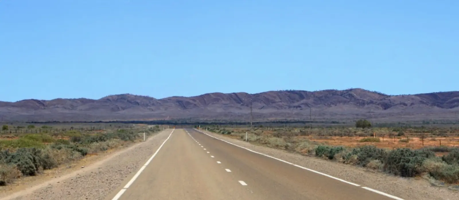
Andamooka
Andamooka travel guide: the opal mining town near Lake Torrens, its dugout homes, fossicking, the Andamooka opal and travel tips.
Read · 6 min
South Australia · Flinders Ranges
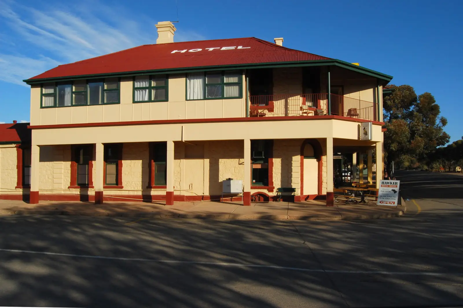
Leigh Creek
Leigh Creek travel guide: the former coal mining town, gateway to the northern Flinders Ranges, Arkaroola and the Strzelecki Track, with travel tips.
Read · 6 min
South Australia · Flinders Ranges
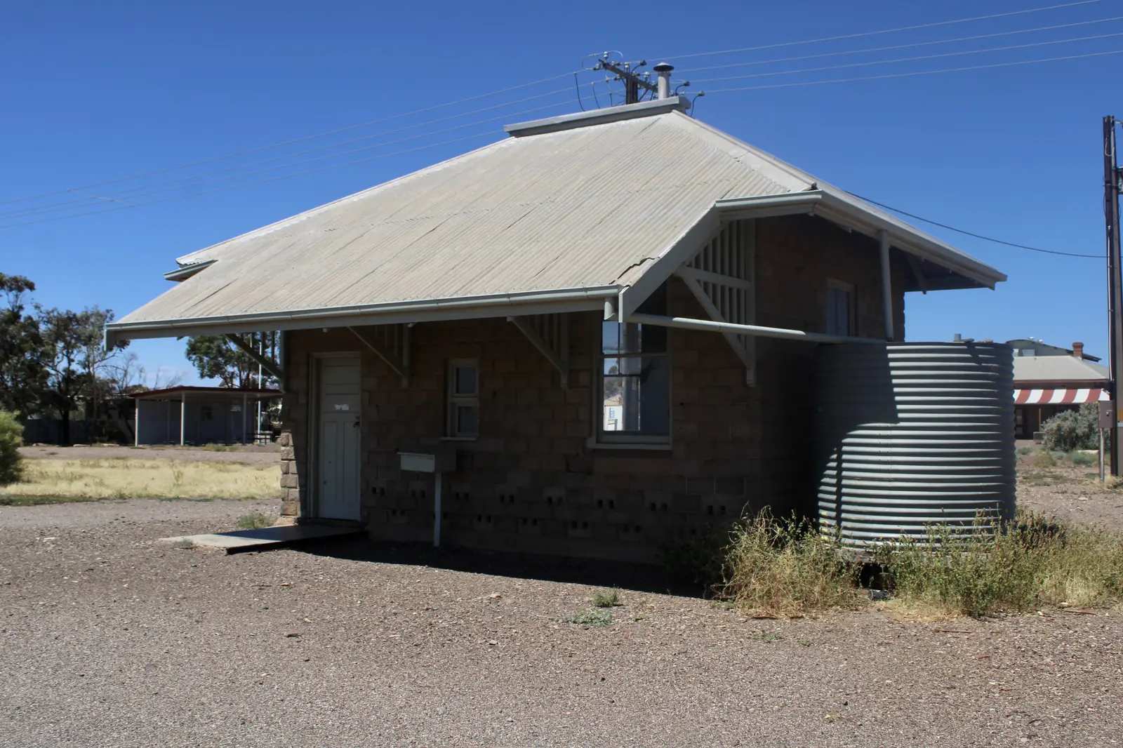
Hawker
Hawker travel guide: the Flinders Ranges railway town near Wilpena Pound, Jarvis Hill lookout, Yourambulla Caves rock art and travel tips.
Read · 6 min
South Australia · Flinders Ranges
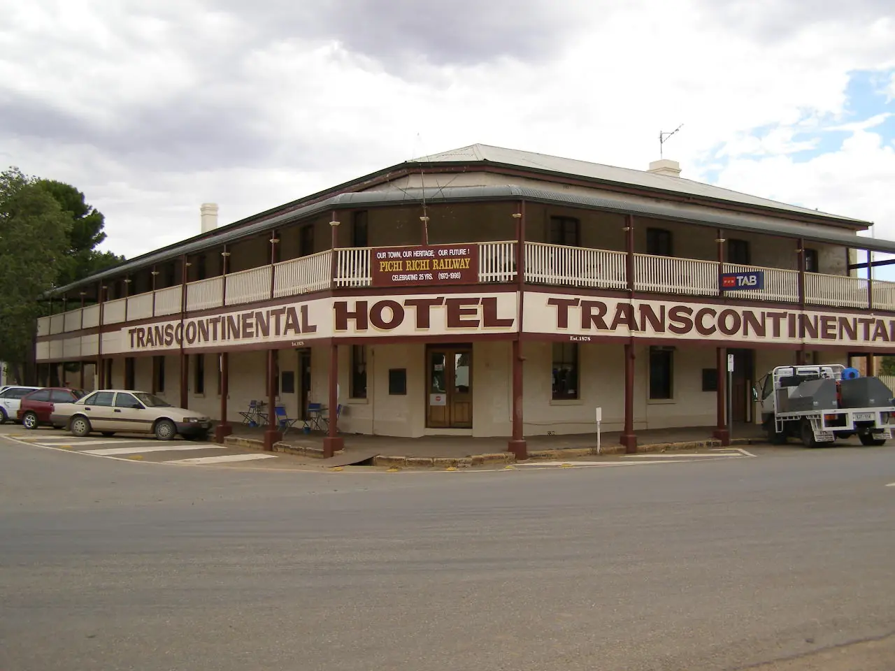
Parachilna
Parachilna travel guide: a tiny Flinders Ranges town 90 km north of Hawker, Prairie Hotel (SATC), Parachilna Gorge Geological Monument, sealed highway access and Hawker climate.
Read · 7 min
South Australia · Flinders Ranges
Quorn
Quorn travel guide: Pichi Richi Railway town 40 km from Port Augusta, Flinders Ranges Visitor Information Centre, Dutchmans Stern, Mount Brown and SATC-listed stays.
Read · 9 min
South Australia · Flinders Ranges
Arkaroola
Arkaroola travel guide: private wilderness sanctuary and ABS locality of 32 people, 600 km north of Adelaide. Official access, permits and DIT road warnings — not an invented 4WD catalogue.
Read · 7 min
South Australia · Flinders Ranges
Beltana
Beltana travel guide: State Heritage Area 540 km north of Adelaide, 35 people at the 2021 Census, interpretive walk, Royal Victoria Hotel, hall camp. Official DEW and SATC only.
Read · 7 min
South Australia · Flinders Ranges
Lyndhurst
Lyndhurst travel guide: DIT southern end of the Strzelecki Track (Innamincka–Lyndhurst), neighbour of Leigh Creek and Marree. ABS 2021 publishes no people count. Confirm fuel. Official DIT / Parks SA / SATC only.
Read · 7 min
South Australia · Flinders Ranges
Blinman
Blinman travel guide: northern Flinders Ranges copper town on Adnyamathanha Country — Heritage Mine, Parachilna Gorge Road, Alpana Station and SATC distances. Not a Wilpena town page.
Read · 10 min
South Australia · Flinders Ranges
Copley
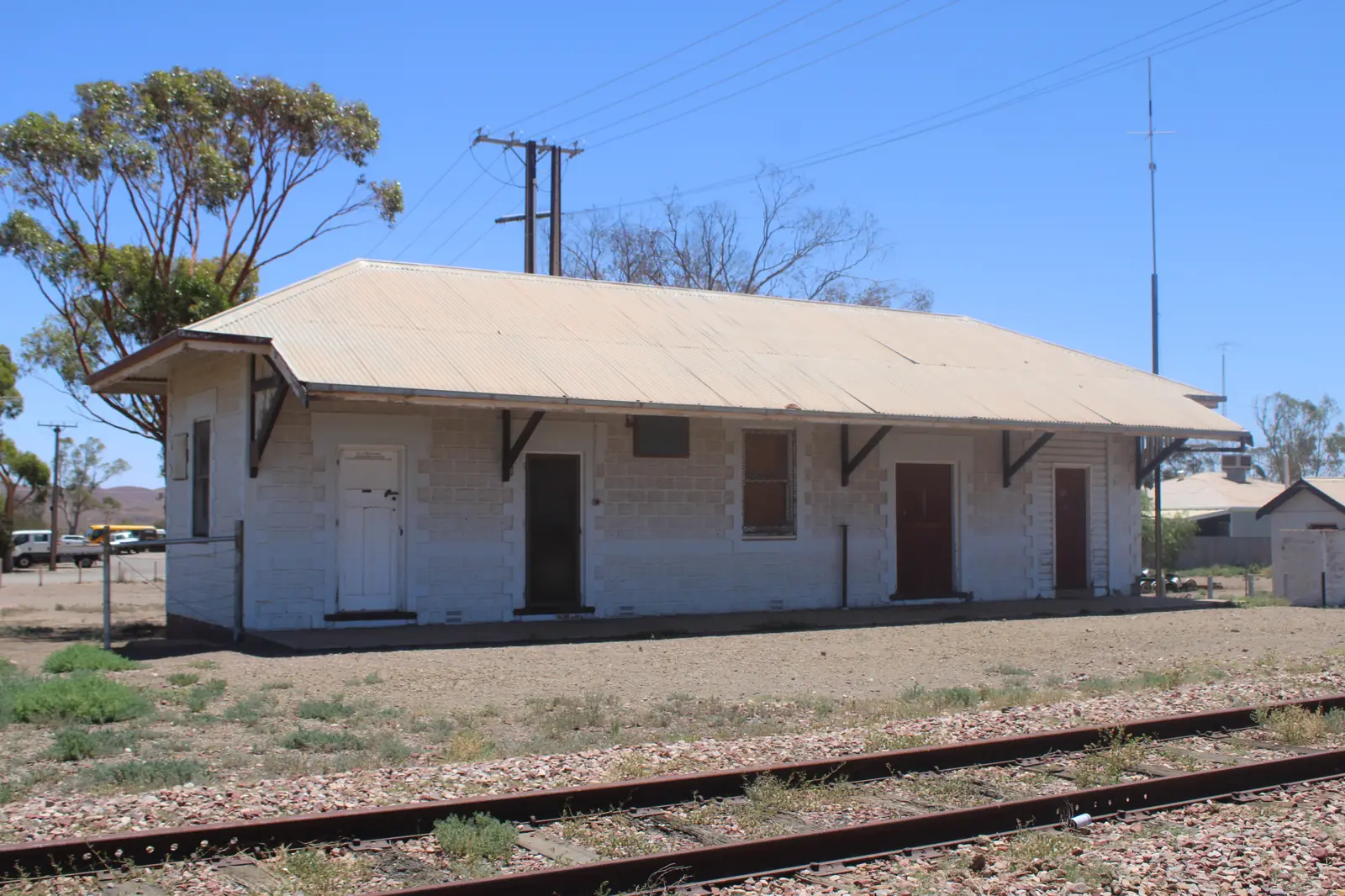
Copley travel guide: northern Flinders Ranges town on Adnyamathanha Country, 6 km north of Leigh Creek — Arkaroola about 130 km unsealed, Vulkathunha-Gammon Ranges, DIT outback roads.
Read · 8 min
South Australia · Flinders Ranges
Farina
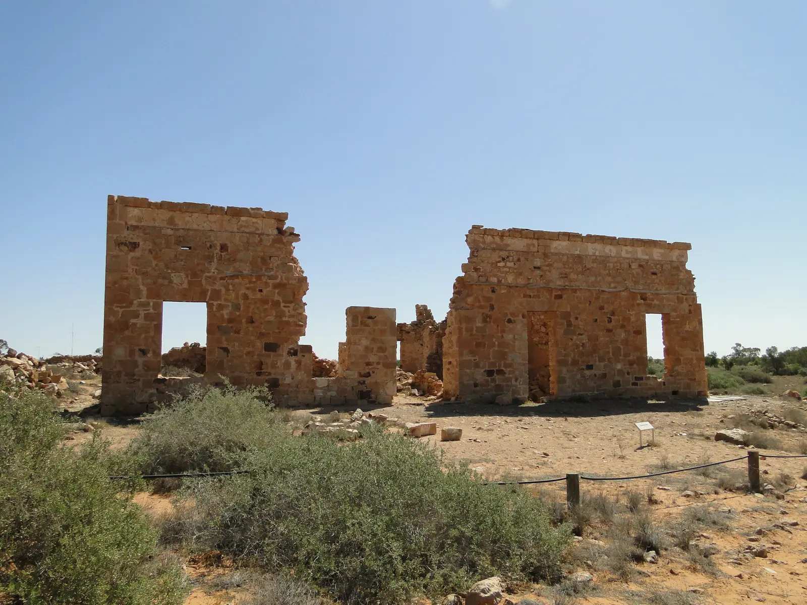
Farina travel guide: SATC ghost town 660 km north of Adelaide, 26 km north of Lyndhurst. Underground bakery May–July, ruins walks, Farina Station campground. ABS 2021 SAL40431. Official SATC / BOM / Parks SA / DIT only.
Read · 9 min
South Australia · Flinders Ranges
Nepabunna
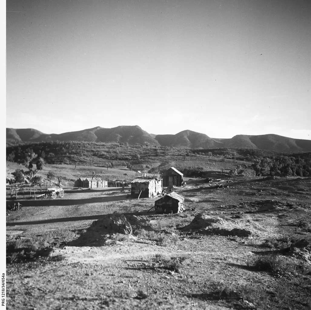
Nepabunna (Nipapanha) travel guide: Adnyamathanha community on the Copley–Arkaroola road. Nantawarrina, Australia’s first Indigenous Protected Area. Permit camping only. Official community and Parks SA wording.
Read · 8 min
South Australia · Flinders Ranges
Peterborough
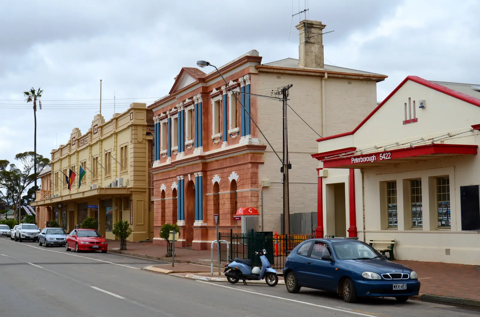
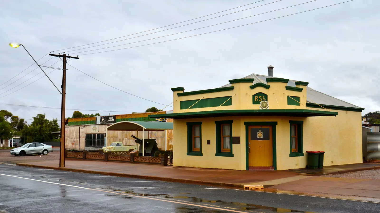
Peterborough travel guide: SATC Heritage Rail Trail / Steamtown hub on the Barrier Highway and RM Williams Way. ABS 2021 UCL415035: 1,428 people. BOM Yongala. South Australia, not Peterborough UK.
Read · 9 min
South Australia · Flinders Ranges
Orroroo
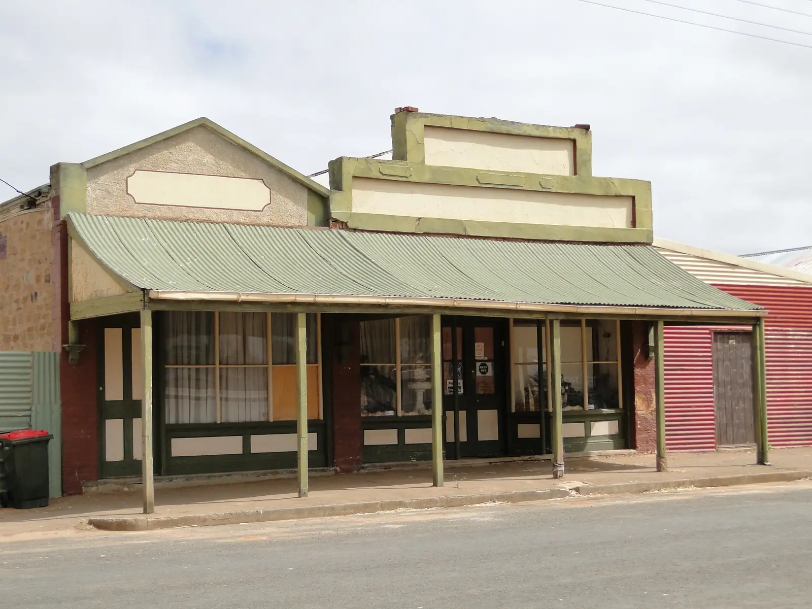
Orroroo travel guide: SATC Southern Flinders gateway, Ngadjuri history, Giant Red Gum, Pekina Creek carvings. ABS 2021 UCL421029: 516 people. BOM Yongala. Not Orroroo NSW.
Read · 7 min
South Australia · Flinders Ranges
Terowie
Terowie travel guide: Barrier Highway rail town south of Peterborough — SLSA 20 March 1942 MacArthur plaque at the railway station. ABS 2021 SAL41439: 135 people. BOM Yongala.
Read · 6 min
Frequently asked questions
Which towns are in this Flinders Ranges hub?
Full guides cover Quorn, Hawker, Parachilna, Beltana, Leigh Creek, Lyndhurst, Arkaroola and Andamooka. Hawker is the main service town for Ikara-Flinders Ranges National Park. Quorn is the Pichi Richi Railway gateway. Leigh Creek and Lyndhurst sit in the northern Flinders. Arkaroola is a wilderness sanctuary locality, not a city. Andamooka is the opal town east of Roxby Downs, grouped here as it was in the original Outback Now region.
How far is Hawker from Adelaide?
About 370 km north, roughly four and a half hours via Port Augusta or Orroroo. Wilpena Pound is about 55 km further, under an hour on a sealed road.
Do I need a 4WD for the Flinders Ranges?
The main roads to Hawker, Wilpena Pound and Leigh Creek are sealed. Scenic drives such as Brachina Gorge can close after rain. Check Traffic SA for sealed roads and DIT outback road warnings if you continue north towards the Strzelecki Track.
Whose Country is the Flinders Ranges?
Ikara-Flinders Ranges National Park is on Adnyamathanha Country and is jointly managed with the Adnyamathanha people. National Parks and Wildlife Service SA is the park agency.
Sources and further reading
Facts on this page were checked against these primary and official sources. Conditions change — confirm before you travel or buy.
- Ikara-Flinders Ranges National Park — National Parks and Wildlife Service SA
- Flinders Ranges and Outback — South Australian Tourism Commission
- The Flinders Ranges Council — The Flinders Ranges Council
- Traffic SA — Government of South Australia
- Outback road warnings — Department for Infrastructure and Transport SA
- Vulkathunha-Gammon Ranges National Park — National Parks and Wildlife Service SA