At a glance
Sourced facts only. Distances and services change — confirm before you travel.
- Local government
- Shire of Dundas
- Traditional Owners
- Not named for the Cocklebiddy townsite on the sourced Tourism WA, Golden Outback or Shire of Dundas town pagesThe Woodlands Centre Aboriginal Culture and Heritage page names Ngadju for country surrounding Norseman. That sentence is not flattened onto this roadhouse.
- Nearest regional city
- Norseman is the Shire of Dundas seat. Golden Outback places Cocklebiddy east of Caiguna on the Eyre Highway corridor. A Cocklebiddy–Norseman kilometre is not printed on those town pages.
- Capital
- A Perth kilometre for Cocklebiddy is not printed on the Tourism WA Nullarbor or Golden Outback Cocklebiddy sentences used here. Tourism WA puts Norseman an eight-hour drive from Perth and Eucla 1,430 km from Perth.
- Nearest fuel
- Golden Outback treats Cocklebiddy as a lunch stop on the Eyre Highway corridor with roadhouses along the route. Confirm the bowser on arrival; this hub does not invent a brand or hours.
- Mobile coverage
- Check Telstra and Optus coverage maps before travel; do not assume a signal on the Eyre Highway gaps.
- Best time to visit
- Autumn, winter and spring on this site’s Nullarbor road-trip page. BOM Eyre (011019) February mean maximum 26.8 °C; July 18.4 °C, with winter-peak rain. That station is not in the Cocklebiddy townsite.
Climate
Monthly means from the Bureau of Meteorology station Eyre (011019). This is not a forecast. Open station. Not in the Cocklebiddy townsite — Golden Outback names Eyre Bird Observatory (Historic Eyre Telegraph Station) on this corridor. Elevation 6 m, commenced 1885. Temperature 66 years (1899–2026); rainfall 95 years (1885–2026). Latest available data 31 May 2026. Do not blend with Eucla (011003).
| Month | Mean max (°C) | Mean min (°C) | Rainfall (mm) |
|---|---|---|---|
| Jan | 26.7 | 15.4 | 18.3 |
| Feb | 26.8 | 15.9 | 18.6 |
| Mar | 25.8 | 14.3 | 30.2 |
| Apr | 24.3 | 11.7 | 24.5 |
| May | 21.5 | 8.9 | 37.3 |
| Jun | 19.2 | 6.7 | 39.1 |
| Jul | 18.4 | 5.6 | 34.5 |
| Aug | 19.6 | 6.0 | 29.7 |
| Sep | 21.5 | 7.6 | 23.5 |
| Oct | 23.4 | 10.1 | 20.4 |
| Nov | 24.5 | 12.1 | 21.8 |
| Dec | 25.9 | 14.1 | 20.5 |
Cocklebiddy in pictures
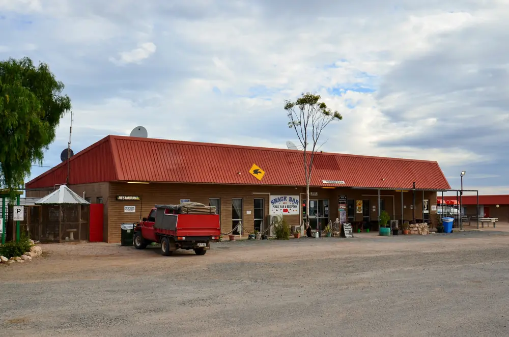
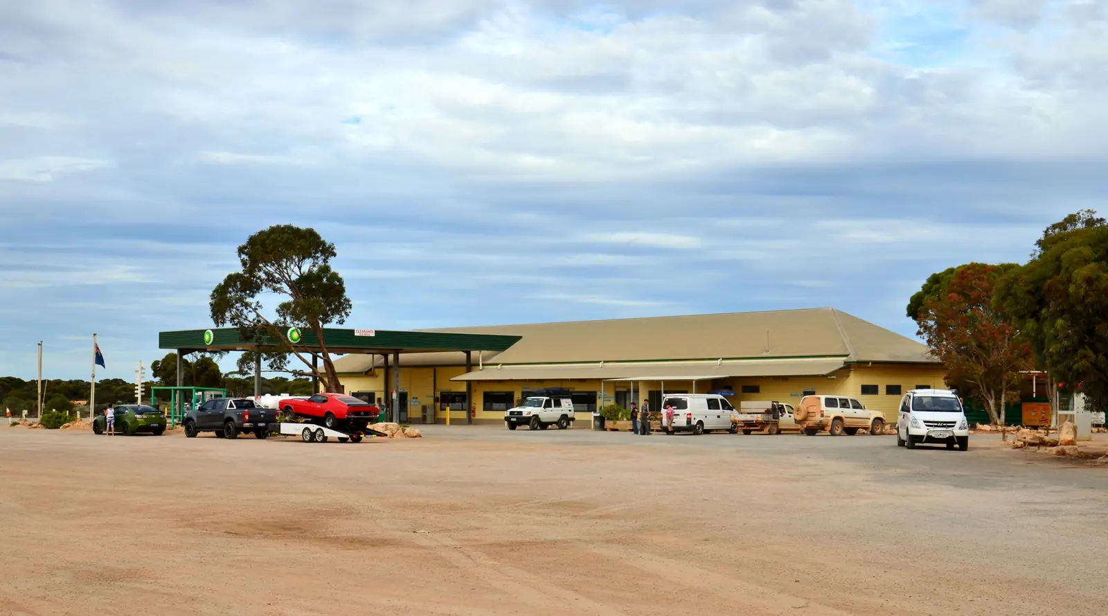
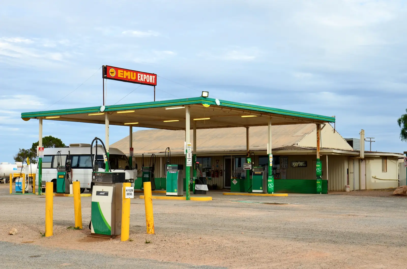
Wedgetail Inn at the Cocklebiddy roadhousePhoto: Bahnfrend · CC BY-SA 4.0 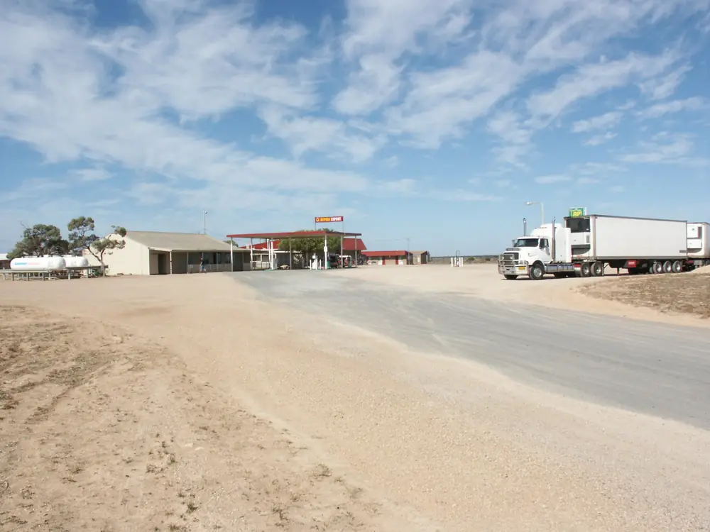
Cocklebiddy Roadhouse from the Eyre HighwayPhoto: Nachoman-au · CC BY-SA 3.0 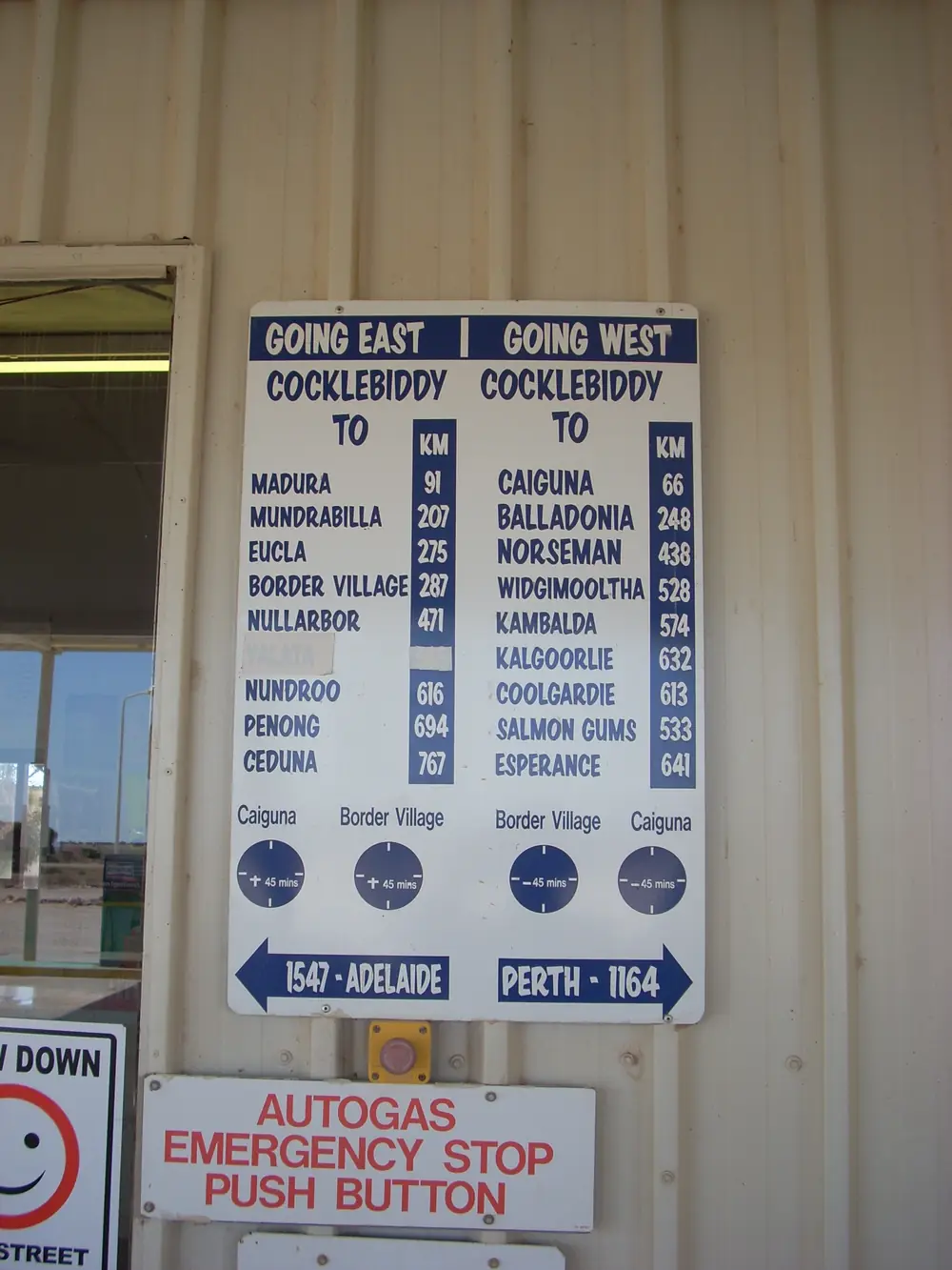
Cocklebiddy road signPhoto: JarrahTree · Public domain 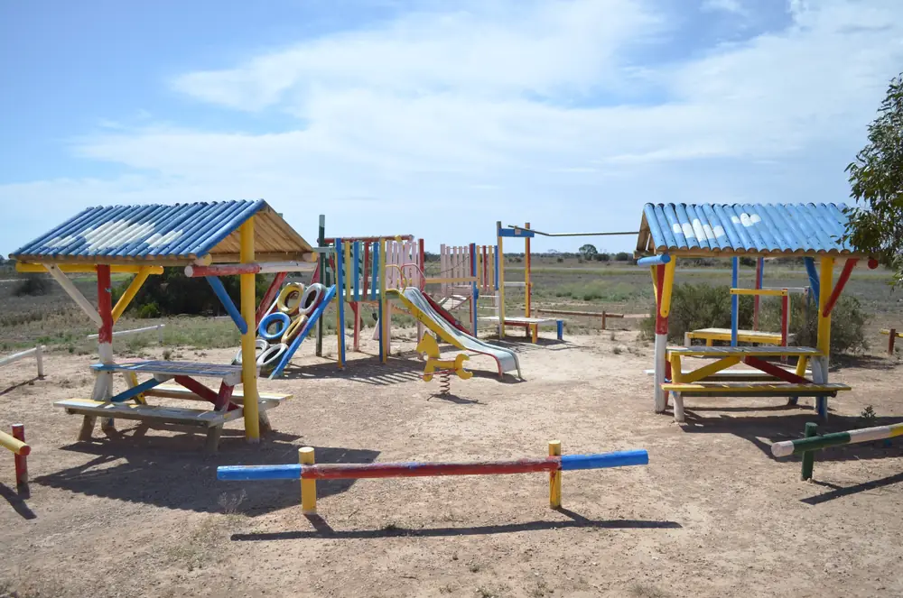
Playground at the Cocklebiddy roadhousePhoto: Bahnfrend · CC BY-SA 3.0
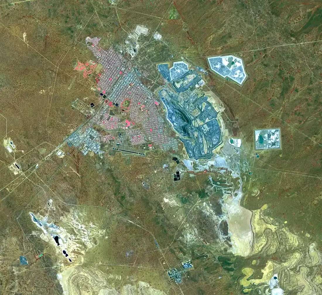
Cocklebiddy sits on the Eyre Highway in Western Australia’s Golden Outback, inside the Shire of Dundas, east of Caiguna and west of Madura. Golden Outback’s Eyre Highway page: stop for lunch at Cocklebiddy, famous for its cave systems, which are among the largest in the world, and take a detour from here to see the towering 70-metre cliffs of the Great Australian Bight. This hub is the Western Australian Nullarbor cave-and-lunch stop, not a Caiguna suburb and not a South Australian town page. Ceduna is the SA service town on this site. Perth is the capital; it has no town page here.
Golden Outback’s Norseman and Nullarbor page is the side-trip list used here: Eyre Bird Observatory in the Historic Eyre Telegraph Station, and Twilight Cove, 32 kilometres south of Cocklebiddy, for fishing or whale watching in season. That is a caves-and-Bight sentence, not a 90 Mile Straight sign borrowed from Caiguna and not a Madura Pass viewpoint borrowed from Madura.
The 2021 Census SAL50305 count used here is 15 people, median age 29, sex split 69.2% male / 30.8% female. 0 families, 12 private dwellings, average household size 1. QuickStats notes limited tables because of the small population. The ABS does not publish a 2021 Urban Centre (UCL) named Cocklebiddy. Travellers stop for lunch, a cave question and a Bight detour. You still need Main Roads WA after rain, because a 32 km south run is no use if the track is closed.
Where it is, and how far
Cocklebiddy is the Eyre Highway settlement Golden Outback places after the 90 Mile Straight and Caiguna, and before Madura Pass, on the sealed Nullarbor run. Tourism WA prints the Eyre Highway as 1,675 km from Norseman to Port Augusta and the Nullarbor as 1,200 kilometres from Norseman to Ceduna. A separate Cocklebiddy–Norseman kilometre was not on those sourced town pages, so this hub does not invent one.
Golden Outback’s Eyre Highway page is a two-day sealed crossing, Norseman to Ceduna.
| Place | Distance or time (sourced) |
|---|---|
| Twilight Cove | 32 km south of Cocklebiddy (Golden Outback) |
| 90 Mile Straight (corridor, at Caiguna) | 146.6 km (Golden Outback) |
| Eyre Highway Norseman–Port Augusta | 1,675 km (Tourism WA) |
| Nullarbor span | 1,200 km Norseman–Ceduna (Tourism WA) |
| Norseman from Perth | eight-hour drive (Tourism WA Nullarbor) |
| Great Australian Bight cliffs (detour) | 70-metre cliffs named from Cocklebiddy (Golden Outback) |
A Perth–Cocklebiddy kilometre was not on those pages. Eucla is 1,430 km from Perth and 717 km east of Norseman on Tourism WA and Shire of Dundas — those figures are Eucla’s, not Cocklebiddy’s.
Facts at a glance
Population. ABS 2021 Census SAL50305: 15 people. Median age 29. Limited tables. Use Cocklebiddy QuickStats.
Climate. Bureau of Meteorology EYRE, 011019, 32.25°S, 126.30°E, elevation 6 m, commenced 1885, status: open, latest available data 31 May 2026. This station is not in the Cocklebiddy townsite; Golden Outback names the observatory on this corridor. Mean maximum (66 years, 1899–2026): February 26.8 °C, July 18.4 °C, annual 23.1 °C. Mean minimum: February 15.9 °C, July 5.6 °C, annual 10.7 °C. Mean rainfall (95 years, 1885–2026): annual 317.1 mm; June 39.1 mm wettest. Mean days of rain ≥ 1 mm: 30.9. See Cocklebiddy weather.
Visitor information. Tourism WA Nullarbor and Golden Outback are the official corridor listings used here. Eyre Bird Observatory advance bookings: Golden Outback prints (08) 9039 3450. Maps: Ceduna, Kalgoorlie-Boulder, Norseman and (Tourism WA) Esperance visitor centres. Woodlands Centre, Norseman: 78 Prinsep Street, (08) 9039 0040. Roads: Main Roads WA.
Traditional Owners
A Traditional Owner nation named for the Cocklebiddy townsite was not on the Tourism WA Nullarbor page, the Golden Outback Cocklebiddy sentences, or the Shire of Dundas tourism page fetched for this guide. The Woodlands Centre names Ngadju for country surrounding Norseman. This guide does not flatten that Norseman sentence onto Cocklebiddy. Confirm current wording at the Woodlands Centre. See visiting Country respectfully.
History
Cocklebiddy’s sourced visitor story is the karst caves and the telegraph observatory, not a gazetted gold-rush year printed on the destination pages used here. Golden Outback: Eyre Bird Observatory is housed in the Historic Eyre Telegraph Station. Tourism WA: visit Eyre Bird Observatory, Australia’s first bird observatory, to spot silvereyes, Major Mitchell’s cockatoos and honeyeaters. Golden Outback: more than 240 species, many rare or endangered.
The caves are named as among the largest in the world on Golden Outback’s Eyre Highway page. That is a landscape claim, not an open show-cave timetable. Confirm current access before you leave the highway.
Things to do
Tourism WA and Golden Outback name these in and around Cocklebiddy:
- Lunch stop / roadhouse corridor — Golden Outback
- Cave systems — among the largest in the world on that page; confirm access
- Great Australian Bight cliffs — 70 m, detour from Cocklebiddy
- Twilight Cove — 32 km south; fishing or whale watching in season
- Eyre Bird Observatory — Historic Eyre Telegraph Station; book ahead (08) 9039 3450
- Nullarbor Links — corridor course on Tourism WA
Nearby, not in-town: Caiguna Blowhole and 90 Mile Straight; Madura Pass; Mundrabilla museum; Eucla telegraph ruins.
See things to do in Cocklebiddy.
Where to stay
Golden Outback treats Cocklebiddy as a lunch stop on a corridor of roadhouses. Tourism WA names traditional outback roadhouses. Those are official named types, not a ranked motel strip. This hub does not invent a hotel brand or a star rating. If Cocklebiddy is full, you are still on a Nullarbor chain — Caiguna west, Madura east.
- How to choose: Cocklebiddy accommodation
- Camping detail: Cocklebiddy caravan parks
- Operator enquiries: feature your business
Caravan and camping
Vans use Cocklebiddy as a Western Australian Nullarbor night between the straight and Madura Pass. Official named stay type on the corridor is the roadhouse. Ask on arrival. Do not camp in a cave doline. Read Cocklebiddy caravan parks and outback camping.
Fuel and services
A locality of 15 people will not match Norseman for a hospital. Golden Outback treats Cocklebiddy as a lunch stop. This guide does not list a bowser brand or invent clinic hours. Confirm fuel on arrival. Fill in Norseman before you leave the Goldfields if you are eastbound. Quarantine for westbound fruit is a Eucla checkpoint on this site’s Nullarbor guide, citing DPIRD.
For maps, use Norseman’s Woodlands Centre or the visitor centres the destination pages name. Roads: Main Roads WA.
Road access
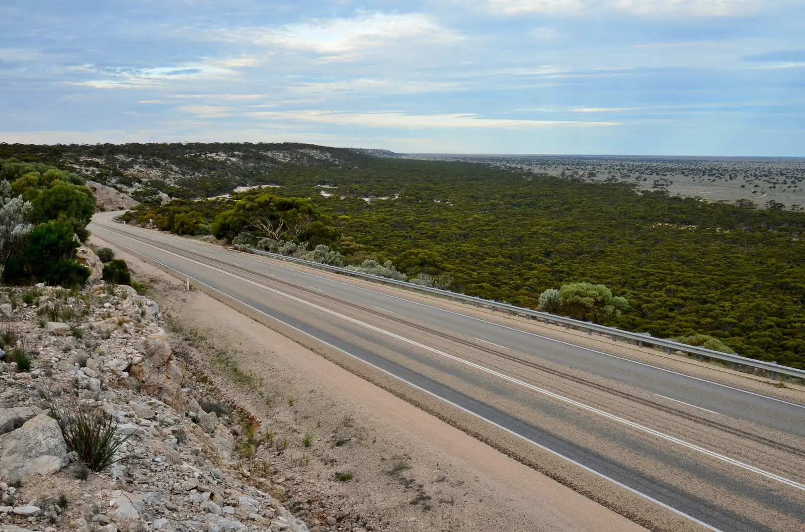
The Eyre Highway is sealed. Golden Outback: two days Norseman to Ceduna in ordinary weather. The 32 km Twilight Cove run is a south detour, not the highway — confirm 2WD sense on Main Roads. Wildlife, road trains and fatigue are the crossing risks. After rain, check Main Roads. Do not drive into a cave entrance.
West: Caiguna, Balladonia, Norseman. East: Madura, Mundrabilla, Eucla, then the SA border.
Nearby parks and towns
Cocklebiddy does not sit inside a Parks WA park named on the sourced town pages. The Nullarbor karst and Eucla National Park (Tourism WA corridor) are the landscape. Cave access is a Parks and Wildlife question, not a town walk.
Towns on this site:
- Caiguna — 90 Mile Straight
- Madura — Madura Pass
- Balladonia — Skylab
- Norseman — shire seat
- Eucla — WA border
- Ceduna — SA service town
When to go, and how long
BOM Eyre’s February mean maximum of 26.8 °C is milder than inland Goldfields January. July’s 18.4 °C mean maximum and 5.6 °C mean minimum, with June 39.1 mm, is the cool winter on a 317.1 mm annual table. Golden Outback names whale watching at Twilight Cove in season; Tourism WA’s Nullarbor whale-watching box prints May to December for the broader WA migration — that is a state season sentence, not a Cocklebiddy guarantee.
An hour covers lunch and a cave-access question. A half day covers Twilight Cove if the 32 km south track is sensible. A night covers a roadhouse bed. Two full tourist days in a locality of 15 people is more than the sourced highway list supports unless you have a booked observatory stay.
Operators who want a checked listing: feature your business. The listings slot on this hub stays empty until then.
Plan this trip
Tell us the dates, who you are travelling with and where you need help. We reply with planning notes for Cocklebiddy — we are not a booking agent.
Events and road-conditions newsletter
Occasional notes on outback festivals, race days and official road-condition sources — not a daily blast. We use these details only to send the newsletter.
Western Australia · Golden Outback
Cocklebiddy accommodation
Where to stay in Cocklebiddy: Golden Outback names a lunch stop on a corridor of roadhouses. Confirm before you unhitch. This is WA, not SA.
Read · 3 min
Western Australia · Golden Outback
Cocklebiddy caravan parks
Camping in Cocklebiddy: Golden Outback names a lunch stop on a roadhouse corridor, not a second park brand. Do not camp in a cave. Confirm before you unhitch. This is WA, not SA.
Read · 3 min
Western Australia · Golden Outback
Cocklebiddy weather
Cocklebiddy climate from BOM Eyre (011019), not in the townsite: February mean max 26.8 °C, July 18.4 °C, annual rainfall 317.1 mm with June 39.1 mm. Open station at the observatory corridor.
Read · 3 min
Western Australia · Golden Outback
Things to do in Cocklebiddy
Things to do in Cocklebiddy: cave systems, 70 m Bight cliffs, Twilight Cove 32 km south, Eyre Bird Observatory. WA Eyre Highway, not a South Australian page.
Read · 3 min
Frequently asked questions
Is Cocklebiddy in Western Australia or South Australia?
This hub is Cocklebiddy in the Shire of Dundas, Western Australia, on the Eyre Highway. Golden Outback names it as a lunch stop famous for cave systems, with Twilight Cove 32 km south. It is not a South Australian town page. Ceduna is the SA Nullarbor service town on this site.
How far is Twilight Cove from Cocklebiddy?
Golden Outback’s Norseman and Nullarbor page puts Twilight Cove 32 kilometres south of Cocklebiddy, for fishing or whale watching in season.
What is Cocklebiddy’s population?
15 people at the 2021 Census for Cocklebiddy suburbs-and-localities (SAL50305), median age 29. QuickStats notes limited tables because of the small population. The ABS does not publish a 2021 Urban Centre named Cocklebiddy.
What is there to do in Cocklebiddy?
Golden Outback: stop for lunch at Cocklebiddy, famous for its cave systems, which are among the largest in the world; take a detour to 70-metre cliffs of the Great Australian Bight; Twilight Cove 32 km south; Eyre Bird Observatory in the Historic Eyre Telegraph Station, more than 240 bird species, advance bookings preferred on (08) 9039 3450.
Can I just walk into the caves?
Golden Outback names cave systems among the largest in the world. That is not a highway-walk invitation. Confirm current access with Parks and Wildlife / the Esperance and Norseman visitor information Golden Outback names. This hub does not invent an open cave tour.
What is the weather like in Cocklebiddy?
There is no in-townsite BOM table. This hub uses BOM Eyre (011019, open), named via Eyre Bird Observatory on Golden Outback: February mean maximum 26.8 °C, July 18.4 °C, annual rainfall 317.1 mm (95 years, 1885–2026). June 39.1 mm is the wettest mean month.
Sources and further reading
Facts on this page were checked against these primary and official sources. Conditions change — confirm before you travel or buy.
- Cocklebiddy 2021 Census QuickStats (SAL50305) — Australian Bureau of Statistics
- Climate statistics for Eyre (011019) — Bureau of Meteorology
- Norseman & Nullarbor — Australia's Golden Outback
- Eyre Highway & The Nullarbor Plain — Australia's Golden Outback
- The Nullarbor — Tourism Western Australia
- Tourism — Shire of Dundas — Shire of Dundas
- Aboriginal Culture and Heritage — Shire of Dundas
- Main Roads WA travel map — Main Roads Western Australia