At a glance
Sourced facts only. Distances and services change — confirm before you travel.
- Population
- 2,384 people in the urban centre (UCL515023, 2021 Census); 2,604 in the wider locality (SAL50938)
- Local government
- Shire of Merredin
- Traditional Owners
- Njaki Njaki Nyoongar (Central Wheatbelt Visitor Centre Welcome to Country page)That visitor-centre page also names Ballardong Nyoongar and Gubrun for other Wheatbelt towns. Confirm current wording at 45 Barrack Street.
- Nearest regional city
- Three hours west of Kalgoorlie on the Central Wheatbelt Visitor Centre Merredin page. Coolgardie is the next Goldfields town on this site toward Kalgoorlie-Boulder.
- Capital
- Three-hour drive east of Perth on the Great Eastern Highway (Australia’s Golden Outback; Central Wheatbelt Visitor Centre). Transwa: around 260 kilometres east of Perth.
- Nearest fuel
- Central Wheatbelt Visitor Centre names BP Travel Stop (49 Great Eastern Highway, 5am–11pm), Liberty Service Station Barrack Street (24hr Ezi Access), Caltex Roadhouse Great Eastern Highway eastern end (daily 5am–6pm), and Liberty Rural Mackenzie Crescent (24hr diesel, no petrol).
- Nearest hospital or clinic
- Merredin Health Service, WACHS Eastern Wheatbelt Primary Health Service based there, (08) 9081 3222. Visitor Centre: a regional hospital and two doctors surgeries.
- Mobile coverage
- Check Telstra and Optus coverage maps before travel; do not assume a signal on granite-rock picnic spurs or the Collgar Wind Farm access.
- Best time to visit
- Cooler BOM Merredin mean maxima May–September; July mean maximum 16.4 °C. Visitor-centre wildflower and wheat-harvest seasons are packing facts, not a Wet.
Climate
Monthly means from the Bureau of Meteorology station Merredin (010092). This is not a forecast. Open station. Temperature 60 years (1966–2025); rainfall 121 years (1903–2026). Latest available data 11 November 2026. Winter-peak rain (July 49.9 mm), not a Top End Wet. Nearest alternatives on that table include Merredin Research Station (010093, 5.8 km) — do not blend.
| Month | Mean max (°C) | Mean min (°C) | Rainfall (mm) |
|---|---|---|---|
| Jan | 34.1 | 18.0 | 14.4 |
| Feb | 33.4 | 18.1 | 15.7 |
| Mar | 30.4 | 16.4 | 21.2 |
| Apr | 25.5 | 13.0 | 22.8 |
| May | 20.9 | 9.0 | 39.5 |
| Jun | 17.5 | 6.8 | 48.5 |
| Jul | 16.4 | 5.6 | 49.9 |
| Aug | 17.6 | 5.6 | 39.7 |
| Sep | 20.7 | 6.9 | 25.2 |
| Oct | 25.2 | 9.9 | 18.5 |
| Nov | 28.8 | 13.3 | 15.4 |
| Dec | 32.3 | 15.9 | 13.7 |
Merredin in pictures
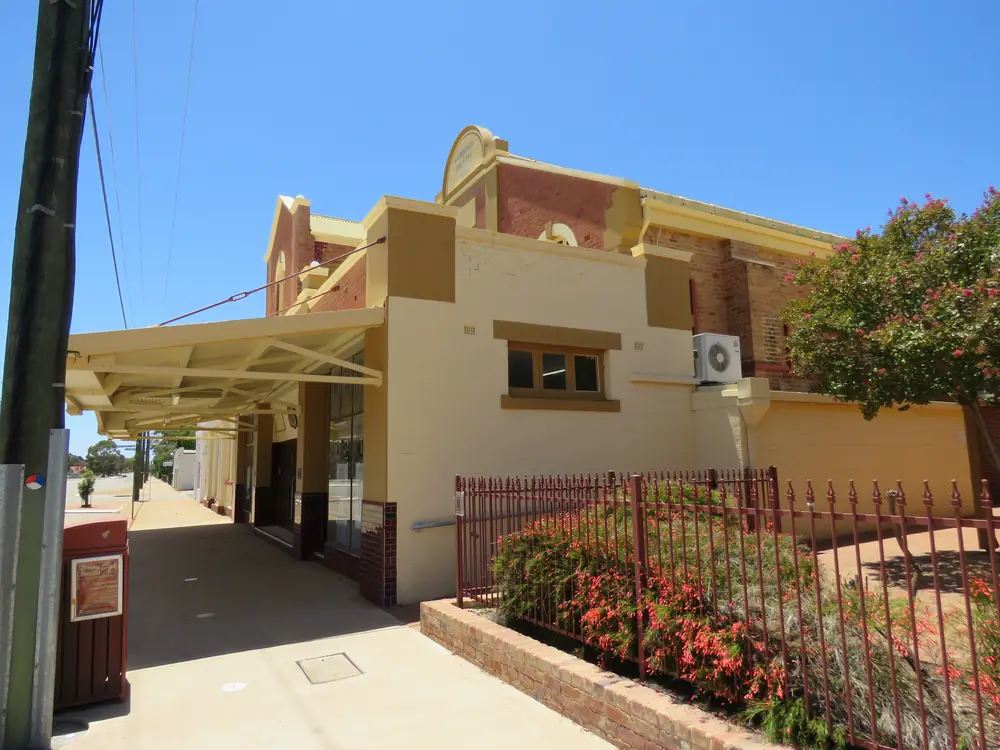
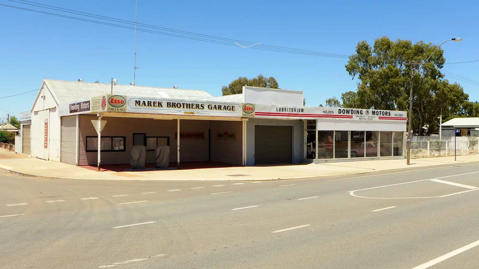
Cummins Theatre in MerredinPhoto: Calistemon · CC BY-SA 4.0 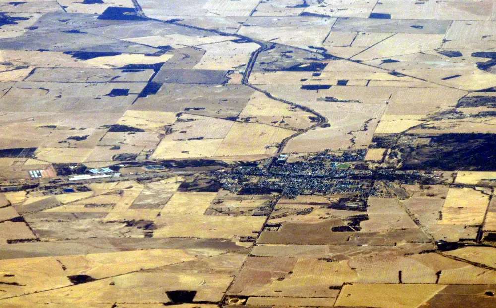
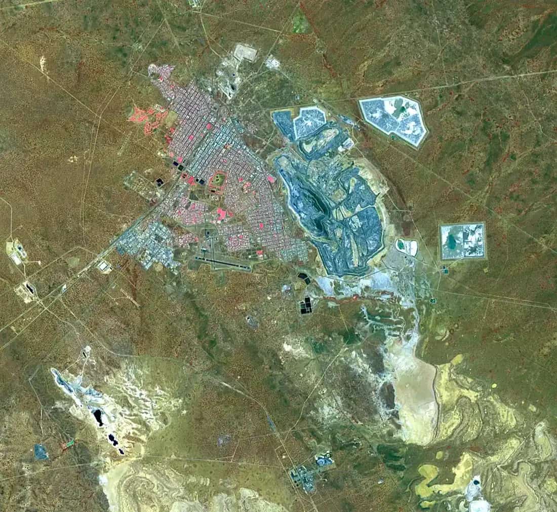
Aerial view of MerredinPhoto: Orderinchaos · CC BY-SA 4.0 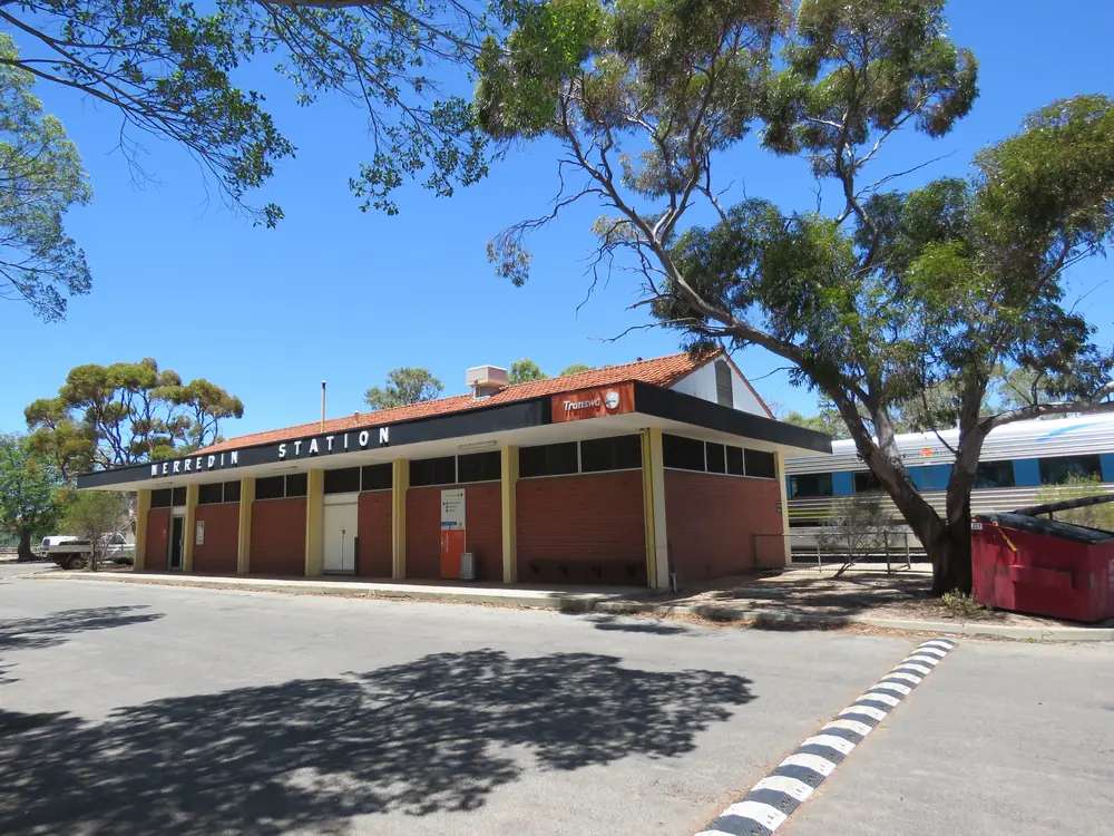
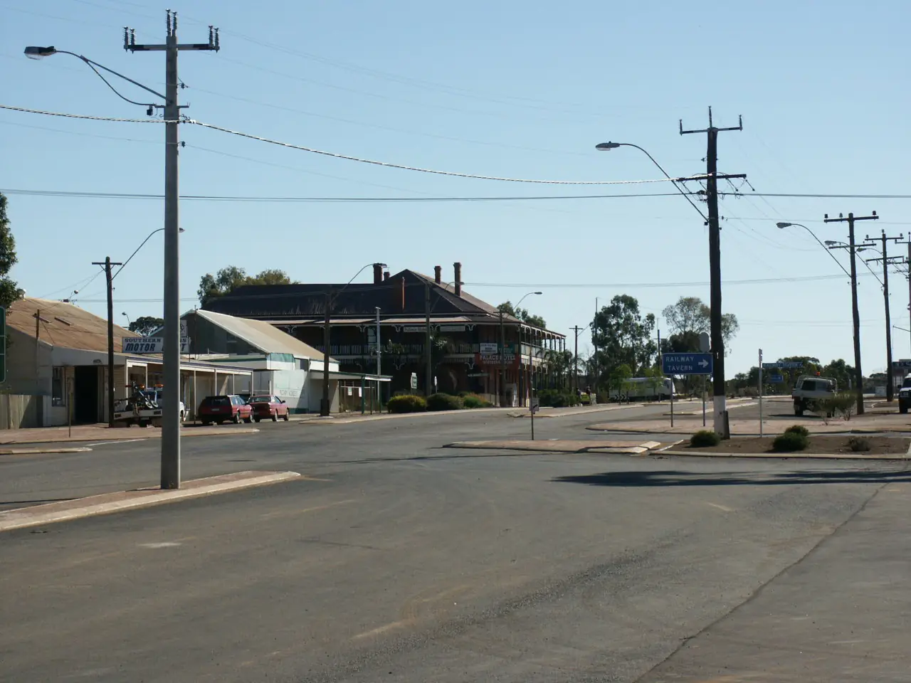
Merredin railway stationPhoto: Calistemon · CC BY-SA 4.0 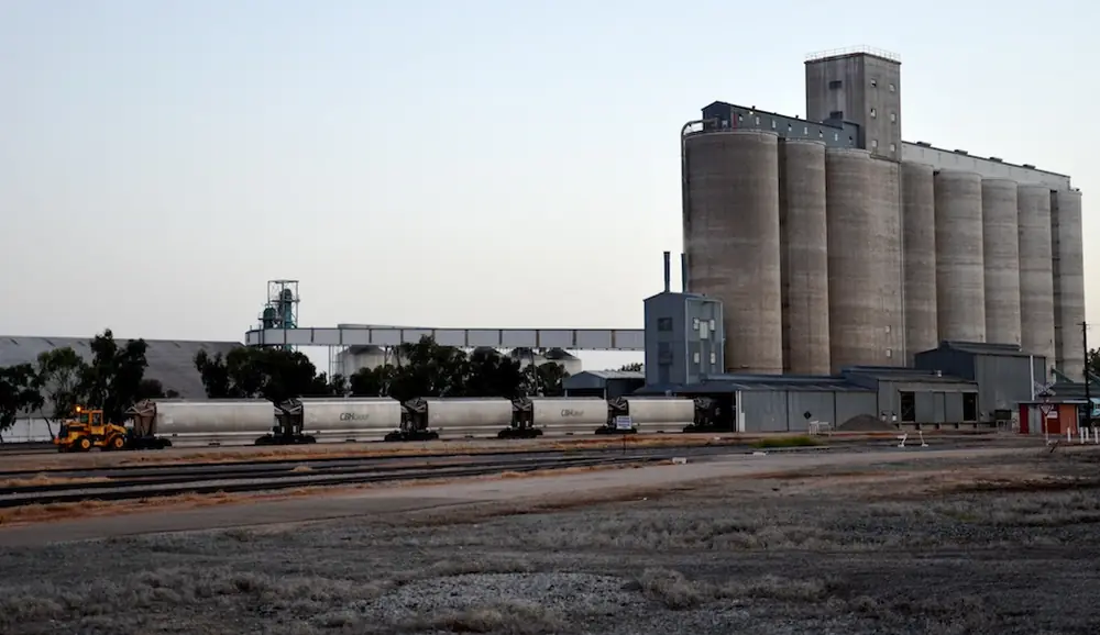
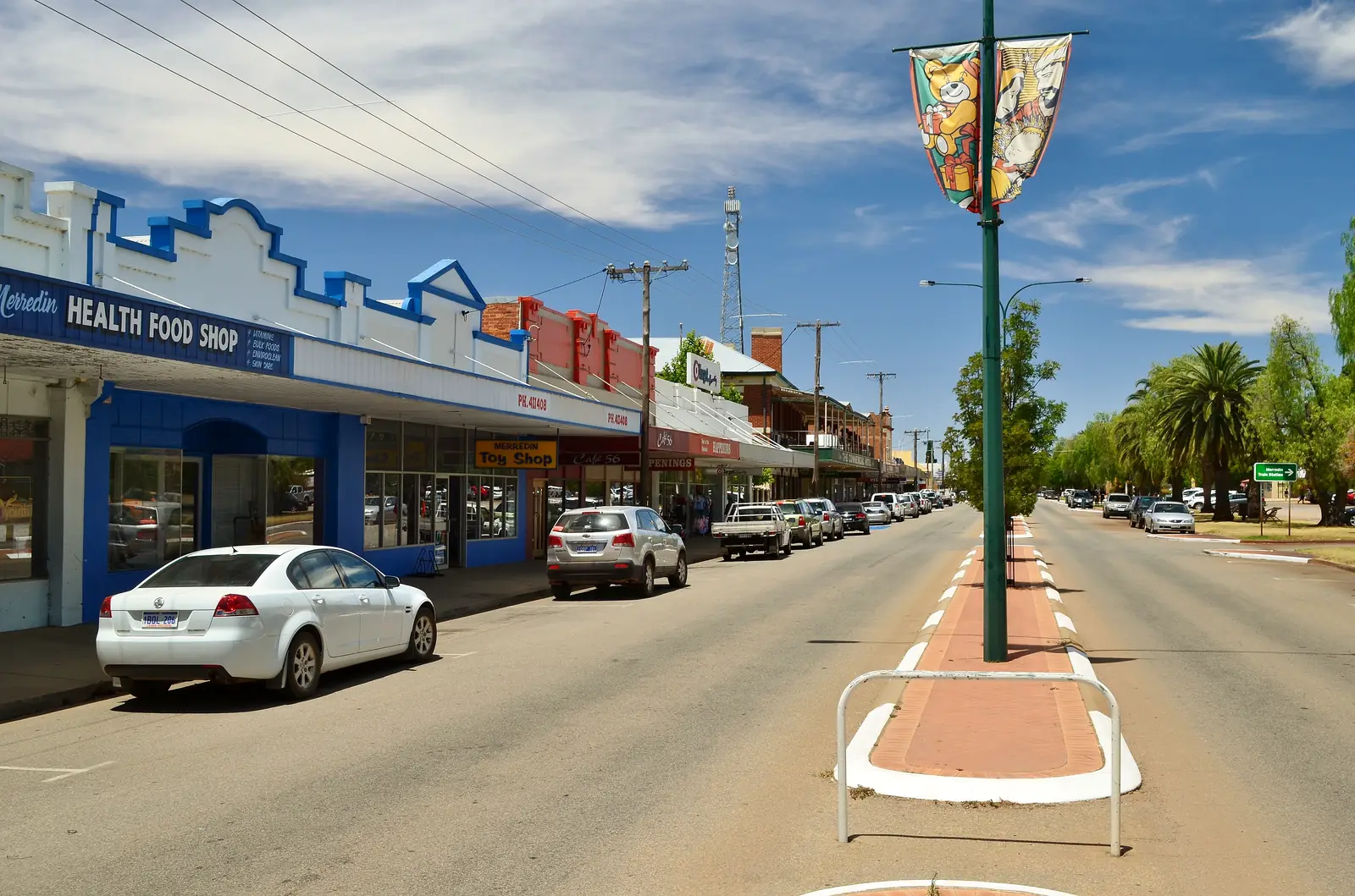
Grain silo at MerredinPhoto: JarrahTree · CC BY 2.5 au
Merredin sits on the Great Eastern Highway in Western Australia’s Golden Outback, as the largest regional centre in the Eastern Wheatbelt on Australia’s Golden Outback. That page puts it a comfortable three-hour drive east of Perth on the highway, following the Golden Pipeline Heritage Trail, or alternative routes along the Pioneers’ Pathway, the Wheatbelt Way and Pathways to Wave Rock. Transwa puts the station around 260 kilometres east of Perth on the Prospector route, with MerredinLink as the second named passenger service. The Central Wheatbelt Visitor Centre repeats three hours’ drive east of Perth and west of Kalgoorlie. This hub is that Shire of Merredin town — not Merredin in Victoria, not a second Kalgoorlie-Boulder, and not a Southern Cross Goldfields-edge reprint. Kellerberrin is the Great Eastern Highway neighbour west of town. Perth is the capital; it has no town page here.
Golden Outback’s economy sentence is the hinge used here: transport and the harvesting of grain give the major impetus to the town. The Co-operative Bulk Handling (CBH) grain terminal is capable of storing up to 600,000 tonnes of grain. It is the company’s largest and is the longest horizontal storage bin in the southern hemisphere. CBH Merredin is the largest inland receival point in the state. Silo artwork by Kyle Hughes-Odgers is named on that page as part of the PUBLIC Silo Trail. That is a wheat-and-rail story, not a gold-rush streetscape borrowed from Coolgardie.
The ABS publishes two 2021 geographies for the town. Use urban centre Merredin UCL515023: 2,384 people, median age 40, sex split 51.2% male / 48.8% female, Aboriginal and/or Torres Strait Islander people 156 (6.5%). Suburbs-and-localities SAL50938 counted 2,604, median age 40, Indigenous 153 (5.9%). 574 families and 1,296 private dwellings on the UCL; 632 families and 1,379 dwellings on the SAL. Do not mix them. The Shire LGA55460 counted 3,119 — that is the whole local government area. Travellers stop for the Peak, the museums and a highway or Prospector night. You still need Main Roads WA after rain.
Where it is, and how far
Merredin is the Great Eastern Highway service town between Perth and the eastern Goldfields, and a named stop on Transwa’s Prospector and MerredinLink. Tourism WA’s Central Wheatbelt Visitor Centre listing: a pleasant three-hour drive from Perth and Kalgoorlie along the same highway. The Visitor Centre’s own Merredin page adds alternative approaches: via Toodyay, Goomalling and Nungarin along the Pioneers’ Pathway, or via Beverley, Quairading and Bruce Rock on Pathways to Wave Rock. Hyden is the Wave Rock town on that second trail, not a Merredin suburb. Norseman is the Eyre Highway town further south-east.
| Place | Distance from Merredin (sourced) |
|---|---|
| Perth | Three hours (Golden Outback; Visitor Centre). Around 260 km (Transwa) |
| Kalgoorlie | Three hours (Visitor Centre). A kilometre was not on that page. |
| Totadgin Conservation Park | 14 km south (Golden Outback) |
| Collgar Wind Farm | 25 km south-east (Golden Outback) |
| Visitor Centre | 45 Barrack Street, Merredin Train Station (Visitor Centre) |
A separate Merredin–Southern Cross or Merredin–Kellerberrin kilometre was not on those sourced town pages, so this hub does not invent one.
Facts at a glance
Population. ABS 2021 Census Urban Centres UCL515023: 2,384 people. Median age 40. 574 families, 1,296 private dwellings. Average household 2.2. SAL SAL50938: 2,604 people, 632 families, 1,379 private dwellings. Use the UCL QuickStats for the town.
Climate. Bureau of Meteorology MERREDIN, 010092, 31.48°S, 118.28°E, elevation 315 m, commenced 1903, status: open, latest available data 11 November 2026. Mean maximum (60 years, 1966–2025): January 34.1 °C, July 16.4 °C, annual 25.2 °C. Mean minimum: February 18.1 °C, July and August 5.6 °C, annual 11.5 °C. Mean rainfall (121 years, 1903–2026): annual 325.1 mm; July 49.9 mm wettest mean month; December 13.7 mm driest. Mean days of rain ≥ 1 mm: 50.9. Median (decile 5) annual rainfall: 316.6 mm. This is a southern winter-rain Wheatbelt table, not a Kimberley Wet. See Merredin weather.
Visitor information. Central Wheatbelt Visitor Centre, Merredin Train Station, 45 Barrack Street, (08) 9041 1666, 1300 736 283 (WA only), visitor@merredin.wa.gov.au. Open Monday–Friday 8:30am–4:30pm on the Visitor Centre site. Tourism WA: booking agent for Cummins Theatre and Transwa; WIFI and potable water. Roads: Main Roads WA.
Traditional Owners
The Central Wheatbelt Visitor Centre Welcome to Country page: the Wheatbelt region is home to three distinct Aboriginal groups — Njaki Njaki Nyoongar, Ballardong Nyoongar and Gubrun. Njaki Njaki Nyoongar traditional lands on that page cover Merredin, Kellerberrin, Hyden and named neighbouring towns including Nungarin, Doodlakine, Bruce Rock, Narembeen and Moorine Rock. The same page names Gubrun for Southern Cross and Ballardong Nyoongar for Tammin and Cunderdin — those sentences are not flattened onto Barrack Street. The Shire of Merredin acknowledgement on that page pays respects to Traditional Owners of the land on which the Visitor Centre stands. Njaki Njaki Aboriginal Cultural Tours are named there and on the Visitor Centre Merredin page as a Peak cultural walk. Confirm current wording at 45 Barrack Street. See visiting Country respectfully.
History
Transwa’s Merredin station page: the original Merredin Railway Station, opened in 1895, now operates as the Merredin Rail Museum. Once a major junction for lines to Narembeen, Bruce Rock, Southern Cross, Nungarin and Northam. The current station, built in the 1960s, sits diagonally opposite and serves the standard gauge line. Golden Outback: the Merredin Railway Water Tower is a 15-metre-high tower in Pioneer Park, dated 1893 on that listing. Cummins Theatre: the original theatre’s stage, decking and pressed tin ceiling were part of the Tivoli Theatre C1897 built originally in Coolgardie and transported and rebuilt in Merredin in 1927. Self-guided tours available weekdays only on Golden Outback.
Golden Outback also names interpreted World War II Army Hospital sites and the Military Museum. WACHS: the eastern Wheatbelt town of Merredin serves as a regional hub for surrounding towns; the Merredin Health Service refurbishment was completed in 2019. This is a railway-and-grain founding with a wartime hospital overlay, not a gold-rush naming.
Things to do
Golden Outback, Tourism WA and the Central Wheatbelt Visitor Centre name these in and around Merredin:
- Merredin Peak Trail — Tourism WA: two walks, about 30 minutes (moderate) or about 1 hour (steeper); Golden Pipeline interpretive walk; highest peak in the area
- Railway Dam — Visitor Centre: rock wall, 100 m channel, 25 million litre storage; picnic tables and walk trails
- Merredin Railway Museum and Military Museum — Golden Outback; Pioneer Park water tower between them on the Visitor Centre page
- Cummins Theatre — heritage listed; Coolgardie Tivoli fabric rebuilt 1927
- CBH silos / PUBLIC Silo Trail — Kyle Hughes-Odgers artwork on Golden Outback
- Apex Park | Danjoo Waabininy Boodja — Visitor Centre: children’s playground, nature play, skate park, toilets and picnic areas
- Tamma Parkland — Golden Outback: 23 hectares, 175 native plants
- Totadgin Conservation Park — 14 km south; mini wave rock on Golden Outback
- Collgar Wind Farm — 25 km south-east; 18,000 hectares, 111 turbines on Golden Outback
- Njaki Njaki Aboriginal Cultural Tours — Visitor Centre; book as named, do not invent a self-guided version of that tour
Nearby, not in-town: Totadgin and Collgar are short drives, not Barrack Street walks. Hyden Wave Rock / Katter Kich is a Pathways to Wave Rock day, not a Merredin granite copy. Southern Cross is the Yilgarn highway town east toward Coolgardie.
Where to stay
The Central Wheatbelt Visitor Centre: accommodation includes motels, self-contained apartments, a tourist park with powered sites and a range of self-contained onsite accommodation. That page and the Visitor Centre’s Merredin Tourist Park listing name Merredin Tourist Park, corner Great Eastern Highway and Oats Street, (08) 9041 1535 — caravans, tent sites, ensuite rooms, studios, chalets and villas as named types. Golden Outback names The Merredin Treasury in the restored former bank. Tourism WA and the Visitor Centre name a free 72-hour stay for fully self-contained RVs at Merredin Peak Reserve. Those are official named types, not a ranked motel strip. This hub does not reprint dollar figures that date. If Merredin is full, Kellerberrin is the highway town west and Southern Cross is east — confirm a room before you treat those as a fallback.
- How to choose: Merredin accommodation
- Camping detail: Merredin caravan parks
- Operator enquiries: feature your business
Caravan and camping
Vans use Merredin as a Great Eastern Highway night between Perth and the Goldfields, or a Prospector-side stop. Official named camping is Merredin Tourist Park (powered and unpowered types on the Visitor Centre listing) plus the 72-hour self-contained RV site at Merredin Peak Reserve. Visitor Centre Peak page: no fires, dogs permitted off leash. Ask on arrival for stay limits and dump points. Read Merredin caravan parks and outback camping. Do not treat Railway Dam picnic tables as a free camp.
Fuel and services
The Central Wheatbelt Visitor Centre Merredin page treats the town as a commercial centre with post office, banks, ATMs, a chemist, retail, a regional hospital and two doctors surgeries. Named bowsers on that page:
- BP Travel Stop, 49 Great Eastern Highway (western end), (08) 9041 1620, open 7 days 5am–11pm; premium unleaded, unleaded, diesel
- Liberty Service Station, Barrack Street (western end), 24hr fuel access with Ezi Access
- Caltex Roadhouse, Great Eastern Highway (eastern end), (08) 9041 1982, daily 5am–6pm; premium unleaded, unleaded, diesel
- Liberty Rural, Mackenzie Crescent, 24hr card access diesel with large caravan, fifth-wheeler and road-train access (no petrol)
EV charging named there: Synergy Fast Charger, Barrack Street Car Park; Shire of Merredin, King Street. Confirm they are actually open; printed hours are the Visitor Centre’s.
Merredin Health Service is the WACHS eastern Wheatbelt hub. The Eastern Wheatbelt Primary Health Service is located at Merredin Health Service and services surrounding shires including Kellerberrin and Yilgarn (Southern Cross), (08) 9081 3222. WACHS’s completed-project page: refurbishment finished 2019, including a new emergency department. For maps use 45 Barrack Street. Roads: Main Roads WA.
Road access
The Great Eastern Highway is sealed. Transwa’s Prospector and MerredinLink stop at the current station. Tourism WA’s Golden Pipeline Heritage Trail is the parallel heritage story, not a 4WD track. After rain, granite-rock access at the Peak and Totadgin is the constraint. Main Roads first.
West: Kellerberrin, then Perth. East: Southern Cross, Coolgardie, Kalgoorlie-Boulder. South-east toward Norseman is a different Goldfields road, not a Merredin main street. Hyden is a Brookton Highway / Pathways to Wave Rock geometry, not a Great Eastern Highway suburb.
Nearby parks and towns
A Parks WA national-park page named for Merredin was not on the sourced town pages. Golden Outback names Totadgin Conservation Park 14 km south as the picnic-and-wildflower conservation park.
Towns on this site:
- Kellerberrin — Great Eastern Highway west
- Southern Cross — Yilgarn seat toward the Goldfields
- Coolgardie — 1892 gold-rush town toward Kalgoorlie
- Kalgoorlie-Boulder — three hours on the Visitor Centre page
- Norseman — Dundas seat, Eyre Highway
- Hyden — Wave Rock / Katter Kich, Pathways to Wave Rock
When to go, and how long
BOM Merredin’s January mean maximum of 34.1 °C is hot Wheatbelt summer. July’s 16.4 °C mean maximum and 5.6 °C mean minimum, with July’s 49.9 mm, is the cool, wetter winter on a 325.1 mm annual table. Pack for frost-adjacent mornings in July and for 34 °C in January. Wildflower timing on neighbouring Wheatbelt pages is late winter to spring; this hub does not invent a Merredin bloom week the sourced town pages do not print.
Two hours covers the Peak if you take the shorter Tourism WA walk, plus a museum photograph if those named places are open. A night covers fuel, a named room or van site, and an early Prospector or highway start. Totadgin and Collgar are separate short drives, not town walks. Cummins Theatre is a weekday-tour or show night on Golden Outback, not a guaranteed evening.
Operators who want a checked listing: feature your business. The listings slot on this hub stays empty until then.
Plan this trip
Tell us the dates, who you are travelling with and where you need help. We reply with planning notes for Merredin — we are not a booking agent.
Events and road-conditions newsletter
Occasional notes on outback festivals, race days and official road-condition sources — not a daily blast. We use these details only to send the newsletter.
Western Australia · Golden Outback
Merredin accommodation
Where to stay in Merredin: Central Wheatbelt Visitor Centre names motels, apartments, Merredin Tourist Park and a 72-hour self-contained RV site at Merredin Peak. Golden Outback names The Merredin Treasury. Confirm before you unhitch.
Read · 4 min
Western Australia · Golden Outback
Merredin caravan parks
Camping in Merredin: Central Wheatbelt Visitor Centre names Merredin Tourist Park powered sites and a free 72-hour self-contained RV stay at Merredin Peak Reserve. Confirm before you unhitch. WA Wheatbelt, not Victoria.
Read · 3 min
Western Australia · Golden Outback
Merredin weather
Merredin climate from BOM Merredin (010092): January mean max 34.1 °C, July 16.4 °C, annual rainfall 325.1 mm with July 49.9 mm. Open station. WA Wheatbelt, not a Victorian table.
Read · 3 min
Western Australia · Golden Outback
Things to do in Merredin
Things to do in Merredin: Merredin Peak Trail, Railway and Military museums, Cummins Theatre, CBH silo art, Totadgin Conservation Park. This is the WA Wheatbelt town on the Prospector line, not Merredin Victoria.
Read · 5 min
Frequently asked questions
Is Merredin in Western Australia or Victoria?
This hub is Merredin in the Shire of Merredin, Western Australia, on the Great Eastern Highway. Australia’s Golden Outback puts it a comfortable three-hour drive east of Perth. Transwa puts the station around 260 kilometres east of Perth on the Prospector route. It is not a Victorian town page.
How far is Merredin from Perth and Kalgoorlie?
Golden Outback and the Central Wheatbelt Visitor Centre put Merredin a three-hour drive east of Perth on the Great Eastern Highway. The Visitor Centre also prints three hours west of Kalgoorlie. Transwa: around 260 kilometres east of Perth. Those pages do not print a Merredin–Kalgoorlie kilometre.
What is Merredin’s population?
Use the 2021 urban centre Merredin UCL515023: 2,384 people, median age 40. Suburbs-and-localities SAL50938 counted 2,604, median age 40. Do not mix the two geographies. The Shire of Merredin LGA55460 counted 3,119 — that is the whole local government area, not the town.
What is there to do in Merredin?
Golden Outback names the heritage walk, Merredin Peak and Railway Dam, Merredin Railway Museum, Military Museum and World War II Army Hospital site, Cummins Theatre, Totadgin Conservation Park 14 km south, Collgar Wind Farm 25 km south-east, and CBH silo artwork by Kyle Hughes-Odgers on the PUBLIC Silo Trail. Tourism WA’s Peak Trail listing: two walks, about 30 minutes or about one hour.
What is the weather like in Merredin?
BOM Merredin (010092, open): January mean maximum 34.1 °C, July 16.4 °C, annual rainfall 325.1 mm (121 years, 1903–2026). July is the wettest mean month at 49.9 mm. Temperature means use 60 years (1966–2025).
Can I camp at Merredin?
Yes, as named types. The Central Wheatbelt Visitor Centre names Merredin Tourist Park (powered sites and onsite accommodation) and a free 72-hour stay for fully self-contained RVs at Merredin Peak Reserve. Tourism WA’s Peak Trail listing: 72-hour site for fully self-contained RVs; no fires; dogs permitted off leash. Confirm at 45 Barrack Street, (08) 9041 1666.
Sources and further reading
Facts on this page were checked against these primary and official sources. Conditions change — confirm before you travel or buy.
- Merredin 2021 Census QuickStats (UCL515023) — Australian Bureau of Statistics
- Merredin 2021 Census QuickStats (SAL50938) — Australian Bureau of Statistics
- Climate statistics for Merredin (010092) — Bureau of Meteorology
- Merredin — Australia's Golden Outback
- Merredin Peak Trail — Tourism Western Australia
- Central Wheatbelt Visitor Centre — Tourism Western Australia
- Merredin — Central Wheatbelt Visitor Centre — Shire of Merredin
- Merredin Peak Reserve and Railway Dam — Shire of Merredin
- Merredin Tourist Park — Shire of Merredin
- Welcome to Country — Shire of Merredin
- Station/Stop — Merredin — Transwa
- Eastern Wheatbelt Primary Health Service — WA Country Health Service
- Completed project — Merredin Health Service — WA Country Health Service
- Main Roads WA travel map — Main Roads Western Australia