At a glance
Sourced facts only. Distances and services change — confirm before you travel.
- Population
- 223 people (SAL11708, 2021 Census)
- Local government
- Brewarrina Shire
- Traditional Owners
- Not named for the Goodooga townsite on the sourced Visit Brewarrina pagesBrewarrina Shire’s community overview lists many nations for Baiame’s Ngunnhu as an inter-tribal meeting place. Confirm wording with council.
- Nearest regional city
- Brewarrina is the shire town. A Goodooga–Brewarrina kilometre is not printed on the Visit Brewarrina Goodooga pages used here.
- Nearest fuel
- Visit Brewarrina names the Goodooga Community Store for essentials. This guide does not name a bowser brand.
- Nearest hospital or clinic
- Confirm with NSW Health — do not invent a clinic name. Brewarrina is the shire service town.
- Mobile coverage
- Check Telstra and Optus coverage maps before travel; do not assume a signal.
- Best time to visit
- March–November for the shaded pool season named by Visit Brewarrina and Brewarrina Shire. Cooler BOM mean maxima May–September. Magpies rugby is a winter note on Visit Brewarrina.
Climate
Monthly means from the Bureau of Meteorology station Goodooga Post Office (048046). This is not a forecast. Closed 1 September 2016. Temperature 12 years (1969–1982); rainfall 108 years (1891–2016). Elevation 140 m. Brewarrina Hospital (048015) remains open — do not blend the two tables.
| Month | Mean max (°C) | Mean min (°C) | Rainfall (mm) |
|---|---|---|---|
| Jan | 35.2 | 21.7 | 61.3 |
| Feb | 34.2 | 21.4 | 46.3 |
| Mar | 32.0 | 18.5 | 40.0 |
| Apr | 28.0 | 13.7 | 28.4 |
| May | 22.5 | 9.5 | 32.9 |
| Jun | 19.3 | 6.1 | 28.7 |
| Jul | 18.7 | 4.8 | 29.5 |
| Aug | 20.7 | 6.2 | 18.3 |
| Sep | 24.5 | 9.4 | 21.5 |
| Oct | 28.6 | 13.9 | 34.4 |
| Nov | 31.8 | 16.8 | 37.0 |
| Dec | 35.3 | 19.9 | 42.0 |
Goodooga in pictures
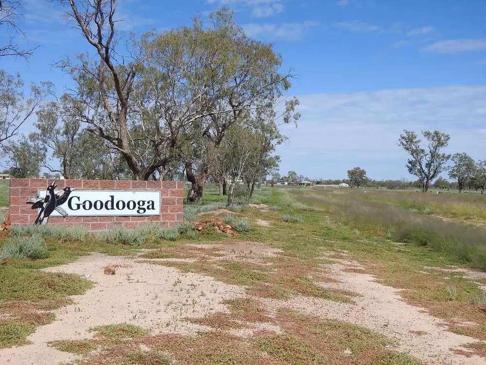
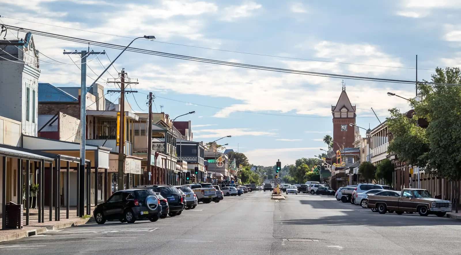
Northern approach town sign, GoodoogaPhoto: Q8682 · CC BY-SA 4.0 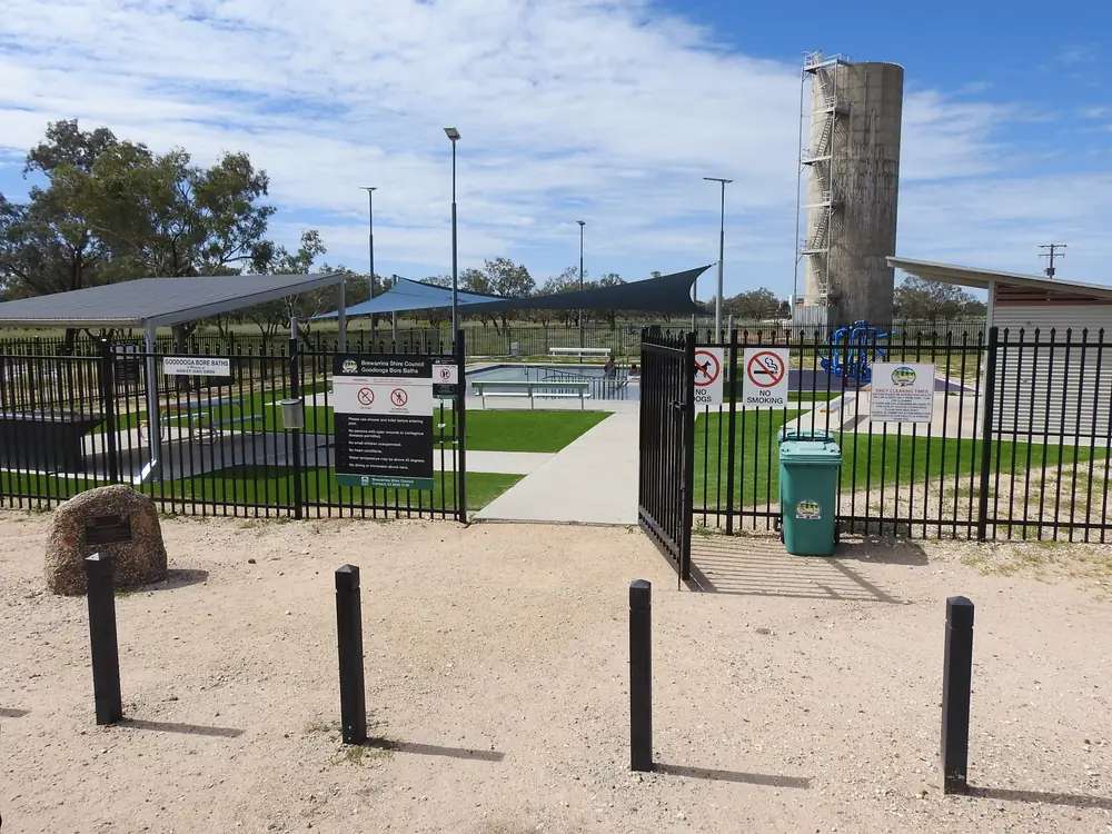
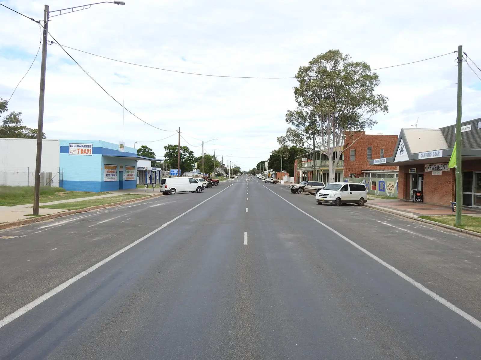
Goodooga Great Artesian Baths and water towerPhoto: Q8682 · CC BY-SA 4.0 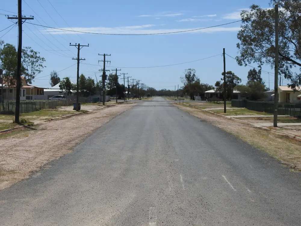
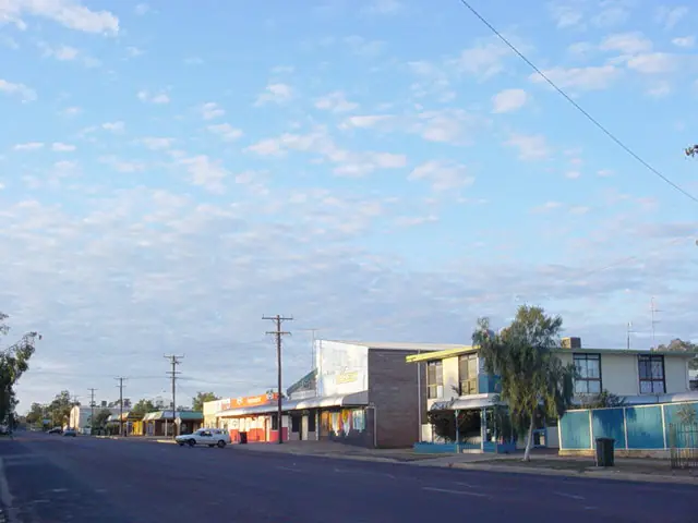
Hammond Street housing, GoodoogaPhoto: Q8682 · CC BY-SA 4.0 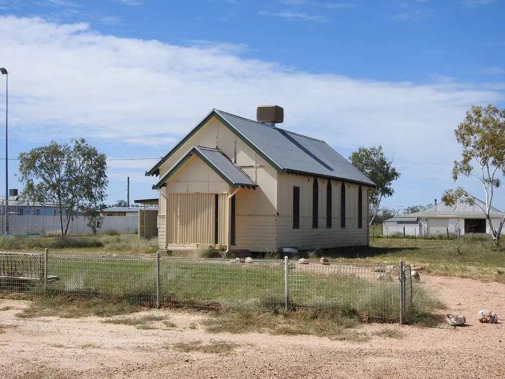
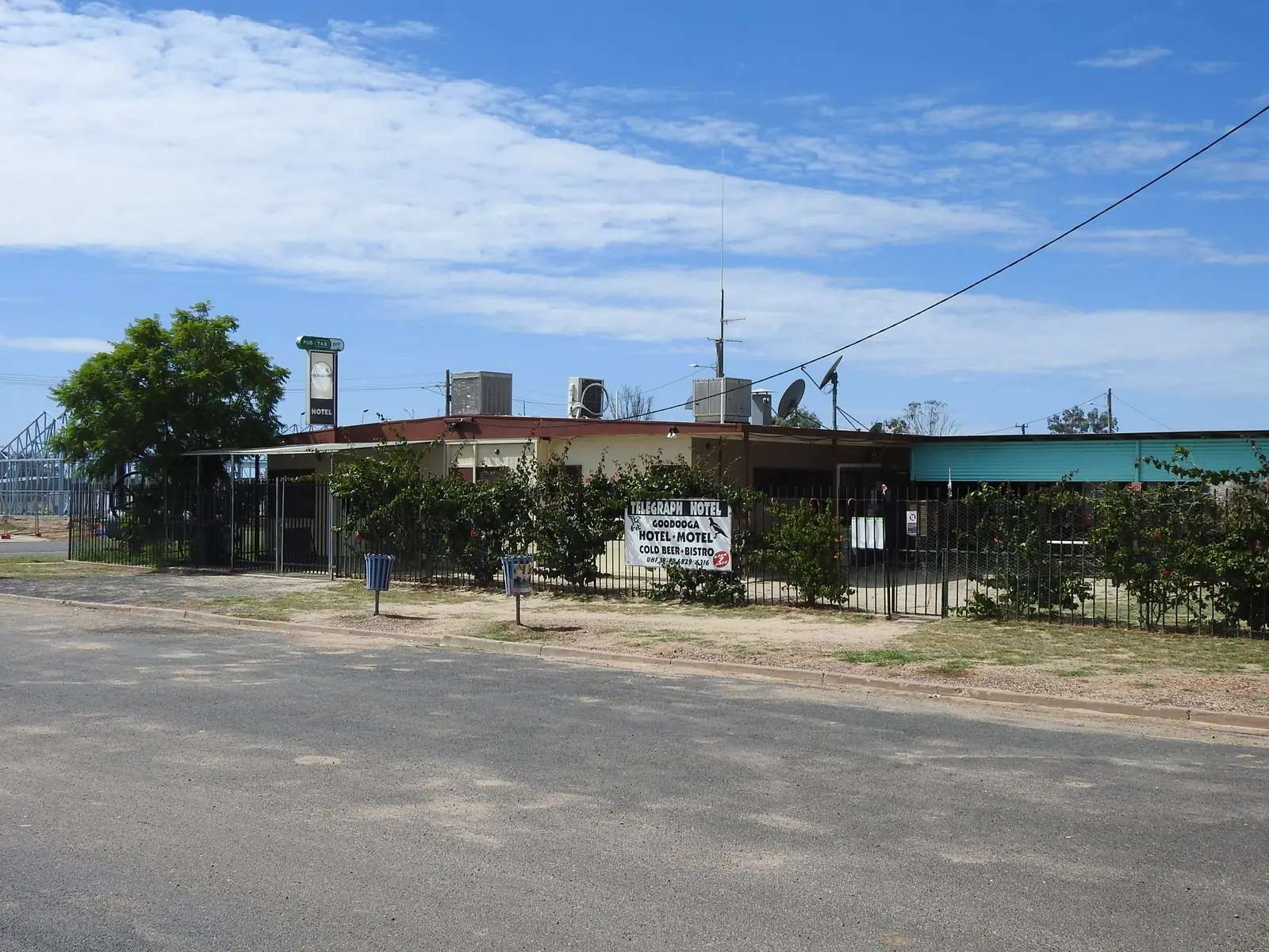
Church on Hammond Street, GoodoogaPhoto: Q8682 · CC BY-SA 4.0
Goodooga is a Brewarrina Shire village on this site’s Outback NSW belt, toward the Queensland border on Visit Brewarrina’s town page. That page is the official listing used here: vast open skies, striking red earth, wildlife, rivers, ancient culture, the Goodooga Artesian Baths, the Goodooga Community Store, and winter Goodooga Magpies rugby league. This hub is the baths village. It is not Brewarrina’s Barwon fish-traps street, not Lightning Ridge opal country, and not a Bourke Darling port. Brewarrina Shire’s community overview names Goodooga with Brewarrina, Weilmoringle, Angledool and Gongolgon as the shire’s towns and villages, on the Queensland state line, surrounded by Walgett, Warren, Bogan and Bourke councils.
The Australian Bureau of Statistics does not publish a 2021 Urban Centre (UCL) named Goodooga on the QuickStats pages used here. Use suburbs-and-localities SAL11708: 223 people, median age 41, sex split 52.2% male / 47.8% female. 53 families, 136 private dwellings. Aboriginal and/or Torres Strait Islander people were 136 (61.0%) of the SAL. Read the ABS SAL QuickStats.
Sealed approaches in ordinary weather still need Live Traffic NSW after rain. Fill in Brewarrina or Lightning Ridge if you have not confirmed a village bowser. This hub does not invent a Goodooga–Brewarrina kilometre Visit Brewarrina does not print.
Where it is, and how far
Goodooga sits in Brewarrina Shire on the north-west plains. Visit Brewarrina’s town page places it deep in the outback, with travellers stocking up at the Community Store before heading further into the scrublands or crossing the border into Queensland. The baths listing used by Visit Bourke puts the complex on Queensland Street; the Great Artesian Drive listing uses Goodooga Rd. Use those names; this hub does not pick a hidden street.
| Place | Distance from Goodooga (sourced) |
|---|---|
| Brewarrina | Shire town — kilometre not printed on the Visit Brewarrina Goodooga pages used here |
| Queensland border | named as a further run on Visit Brewarrina’s town page; kilometre not printed |
| Goodooga Post Office (BOM 048046) | 29.11°S, 147.45°E, elevation 140 m — closed climate station in town, not a drive time |
| Brewarrina Hospital (BOM 048015) | open shire table at 29.96°S, 146.87°E, elevation 115 m — station location, not a driving distance this hub will invent |
Weilmoringle, Angledool and Gongolgon are named on the shire overview, not linked. Collarenebri and Walgett are Walgett Shire neighbours on this site, not Goodooga offsets we invented.
Facts at a glance
Population. ABS 2021 SAL11708: 223 people. Median age 41. 61.0% Aboriginal and/or Torres Strait Islander. No UCL. Goodooga SAL QuickStats.
Climate. GOODOOGA POST OFFICE, 048046, 29.11°S, 147.45°E, elevation 140 m, commenced 1891, closed 1 September 2016. Mean maximum (12 years, 1969–1982): December 35.3 °C (hottest mean max), January 35.2 °C, July 18.7 °C, annual 27.6 °C. Mean minimum (12 years): January 21.7 °C, July 4.8 °C, annual 13.5 °C. Mean rainfall (108 years, 1891–2016): annual 416.7 mm. Mean days of rain ≥ 1 mm: 35.3. For a still-open shire table, use Brewarrina Hospital, 048015: January mean maximum 36.3 °C, July 18.3 °C, annual rainfall 411.7 mm (145 years, 1872–2026). Do not blend. See Goodooga weather.
Visitor information. Visit Brewarrina and Brewarrina Shire Council, 57 Bathurst Street, Brewarrina, (02) 6830 5100, breshire@brewarrina.nsw.gov.au. Baths phone on Visit Brewarrina: (02) 6830 5152, info@brewarrina.nsw.gov.au.
Traditional Owners
Visit Brewarrina’s Goodooga pages used here do not name a single nation for the townsite. Brewarrina Shire’s community overview is explicit that Brewarrina is strongly grounded in First Nations heritage and that Baiame’s Ngunnhu was one of the great inter-tribal meeting places in Eastern Australia for many nations, listing Morawari, Barkinji, Weilwan, Kamilaroi, Koamu, Valarai, Baranbinja, Wiradjuri, Ngemba and Yualwarri peoples. That list belongs to the fish traps and the shire story. This hub does not flatten ten names onto 223 people. Confirm wording with council. The fish traps themselves are a Brewarrina day.
History
Visit Brewarrina’s town page is a living-culture listing more than a gazetteer: red earth, artesian water, a community store, and winter football. The Great Artesian Drive page used here says the Goodooga Artesian Springs were constructed in 2019 and that the pool was the first on that drive to boast full wheelchair accessibility. Brewarrina Shire’s 2026 season notice calls the baths one of the jewels of the shire and notes a community of just over 200 people — consistent in scale with the ABS 223, not a substitute for QuickStats.
This facts file does not invent a 19th-century gazettal year that those pages do not print.
Things to do
Goodooga Great Artesian Baths — Visit Brewarrina: naturally heated 40 °C mineral-rich baths fed by the Great Artesian Basin; shaded, fully accessible pool with ramp; open 24 hours during the season March–November; bathrooms, hot showers, RV dump point, electric BBQ, outdoor hybrid gym, shaded picnic area; free camping; no bookings. Council’s baths page repeats free entry, seven days in tourist season, and named 1 March 2026 as the 2026 opening in the pre-season notice; a later council notice said the 2026 season was open 24 hours through until November. Confirm before you travel on (02) 6830 5152. Part of the Great Artesian Spa Tour / Great Artesian Drive.
Goodooga Community Store — Visit Brewarrina: stock up on essentials before the scrub or the Queensland border.
Goodooga Magpies — winter bush rugby league on the town page. A match day, not a visitor-centre timetable.
Rivers and wildlife — named in general on Visit Brewarrina. This hub does not invent a named waterhole or a species list.
Baiame’s Ngunnhu is in Brewarrina. Use that town guide. Culgoa National Park is named on Brewarrina’s hub as further afield — not a Goodooga footpath.
Where to stay
Brewarrina Shire and Visit Brewarrina name free onsite camping at the baths, with the shaded pool seasonal and camping / dump point / BBQ / showers named as year-round on the Visit Brewarrina highlights list. Council’s 2026 season article mentioned more than 60 caravans and campers a night in the peak visitor period beside the baths — a council quote about peak pressure, not a booking cap this hub will turn into a fee.
There is no motel brand on the sourced Goodooga pages. Brewarrina is the shire overflow.
- How to choose: Goodooga accommodation
- Camping detail: Goodooga caravan parks
- Operator enquiries: feature your business
Caravan and camping
Vans use Goodooga as an artesian overnight on the Great Artesian Drive. The sourced camp is the baths complex. Ask council about stay limits. The pool season and the camp season are not the same sentence on every page — Visit Brewarrina highlights say free camping open year-round while the pool is March–November. Confirm. Read Goodooga caravan parks and outback camping.
After rain, Live Traffic NSW first.
Fuel and services
A locality of 223 people will not match Brewarrina or Lightning Ridge for a supermarket aisle. Visit Brewarrina names the Community Store. This guide does not list bowser brands. Fill before you leave a larger town if you have not confirmed fuel in Goodooga. Do not invent a hospital name. For current questions, use Brewarrina Shire Council and (02) 6830 5100.
Road access
Goodooga is a Brewarrina Shire village on the Queensland-border plains. Visit Brewarrina does not print the highway number on the town page used here; Live Traffic NSW remains the road source. After rain, floodways close. Do not drive around closed signs to keep a baths soak.
South: Brewarrina and the Barwon. West: Bourke on the wider shire map. East: Walgett Shire towns on this site — Collarenebri, Walgett, Lightning Ridge — without invented kilometres. North: Queensland, named as a crossing on the town page.
Nearby parks and towns
Parks and named nature sites:
- Goodooga Great Artesian Baths (town complex)
- Great Artesian Basin
- Baiame’s Ngunnhu — in Brewarrina, not in Goodooga
Towns on this site:
- Brewarrina — shire town, fish traps
- Lightning Ridge — opal, bore baths
- Collarenebri and Walgett — Walgett Shire
- Bourke — western service town
- Enngonia — Mitchell Highway village in Bourke Shire
Named, not linked: Weilmoringle, Angledool, Gongolgon.
When to go, and how long
Goodooga Post Office’s closed-station December mean maximum of 35.3 °C is hot for an unshaded camp at midday; January is 35.2 °C. July’s 18.7 °C mean maximum is the comfortable season on paper; July’s 4.8 °C mean minimum is why a free camp needs a layer. Annual rainfall 416.7 mm on 108 years. The baths pool season is March–November on Visit Brewarrina. An hour at the baths is the minimum. A night lets you use the free camp if council has confirmed it is open. Two nights only if you are adding a Magpies match, a Brewarrina fish-traps day, or a Lightning Ridge continuation and Live Traffic NSW agrees.
Operators who want a checked listing: feature your business. The listings slot on this hub stays empty until then.
Plan this trip
Tell us the dates, who you are travelling with and where you need help. We reply with planning notes for Goodooga — we are not a booking agent.
Events and road-conditions newsletter
Occasional notes on outback festivals, race days and official road-condition sources — not a daily blast. We use these details only to send the newsletter.
New South Wales · Outback NSW
Goodooga accommodation
Where to stay in Goodooga: Brewarrina Shire names free onsite camping at the Great Artesian Baths. No motel brand on the sourced pages. Brewarrina is the shire overflow.
Read · 3 min
New South Wales · Outback NSW
Goodooga caravan parks
Camping in Goodooga: Brewarrina Shire names free onsite camping at the Great Artesian Baths with dump point, showers and BBQ. Confirm stay limits. No extra park names invented.
Read · 3 min
New South Wales · Outback NSW
Goodooga weather
Goodooga climate from BOM Goodooga Post Office (048046): December mean max 35.3 °C, July 18.7 °C, annual rainfall 416.7 mm. Station closed 2016; Brewarrina Hospital 048015 remains open.
Read · 4 min
New South Wales · Outback NSW
Things to do in Goodooga
Things to do in Goodooga: 40 °C Great Artesian Baths (March–November), Community Store, Magpies rugby. Fish traps belong in Brewarrina. Confirm the season with Brewarrina Shire.
Read · 3 min
Frequently asked questions
How far is Goodooga from Brewarrina and Bourke?
Visit Brewarrina’s Goodooga and baths pages do not print a Goodooga–Brewarrina or Goodooga–Bourke kilometre. Brewarrina Shire’s community overview names Goodooga among the shire’s towns and villages, bordering Queensland. Use those pages; do not invent a figure.
What is Goodooga’s population?
223 people at the 2021 Census for Goodooga suburbs-and-localities (SAL11708), median age 41. Aboriginal and/or Torres Strait Islander people were 61.0% of the SAL. The ABS does not publish a 2021 Urban Centre (UCL) named Goodooga on the QuickStats pages used here.
Are the Goodooga artesian baths free?
Yes, as named. Visit Brewarrina and Brewarrina Shire: naturally heated 40 °C mineral baths, free entry, shaded accessible pool open 24 hours during the season (March–November). Free camping with RV dump point is named as open year-round. Confirm the season on (02) 6830 5152 or council.
Where should I stay in Goodooga?
Brewarrina Shire and Visit Brewarrina name free onsite camping at the baths complex. The Community Store is named for essentials, not as a motel. Brewarrina is the shire overflow. This hub does not invent hotel brands.
What is the weather like in Goodooga?
BOM Goodooga Post Office (048046) closed 1 September 2016. Temperature means (12 years, 1969–1982): December mean maximum 35.3 °C, July 18.7 °C. Rainfall (108 years, 1891–2016): annual 416.7 mm. Brewarrina Hospital (048015) remains open.
Whose Country is Goodooga on?
Visit Brewarrina’s Goodooga pages used here do not name a single nation for the townsite. Brewarrina Shire’s community overview lists Morawari, Barkinji, Weilwan, Kamilaroi, Koamu, Valarai, Baranbinja, Wiradjuri, Ngemba and Yualwarri peoples among nations connected with Baiame’s Ngunnhu as an inter-tribal meeting place. This hub does not flatten that list onto Goodooga alone. Confirm wording with council.
Sources and further reading
Facts on this page were checked against these primary and official sources. Conditions change — confirm before you travel or buy.
- Goodooga 2021 Census QuickStats (SAL11708) — Australian Bureau of Statistics
- Climate statistics for Goodooga Post Office (048046) — Bureau of Meteorology
- Climate statistics for Brewarrina Hospital (048015) — Bureau of Meteorology
- Goodooga — Visit Brewarrina
- Goodooga Great Artesian Baths — Visit Brewarrina
- Goodooga Great Artesian Baths — Brewarrina Shire Council
- Community Overview — Brewarrina Shire Council
- Great Artesian Drive — Visit Brewarrina
- Live Traffic NSW — Transport for NSW
- The Great Artesian Basin — Outback Now