At a glance
Sourced facts only. Distances and services change — confirm before you travel.
- Local government
- Lachlan Shire
- Traditional Owners
- Wiradjuri people (Lachlan Shire Council Acknowledgement of Country). Visit Lachlan Shire also records Ngiyampaa and Paakantyi families living at Lake Cargelligo after resettlement.Confirm current wording at the Lake Cargelligo Visitor Information Centre, 1 Foster Street.
- Nearest regional city
- 90 minutes north of Griffith; two hours’ drive southwest of Parkes (Visit NSW). NSW Health: 1 hour 50 minutes north of Griffith. Kilometres not printed on those pages.
- Capital
- Seven hours’ drive from Sydney (NSW Health Lake Cargelligo Multipurpose Service page). Visit NSW does not print a Sydney kilometre on the attraction listing.
- Nearest fuel
- Service town — confirm bowsers in Lake Cargelligo; this guide does not name a brand.
- Nearest hospital or clinic
- Lake Cargelligo Multipurpose Service, 34 Uabba Street — 24-hour accident and emergency (NSW Health)
- Mobile coverage
- Check Telstra and Optus coverage maps before travel; do not assume a signal on lake-edge tracks after dark.
- Best time to visit
- May–September (cooler BOM Lake Cargelligo Airport mean maxima). January mean maximum 34.2 °C; July 15.5 °C.
Climate
Monthly means from the Bureau of Meteorology station Lake Cargelligo Airport (075039). This is not a forecast. Open. Commenced 1881. Elevation 169 m. Temperature maxima 99 years (1907–2023); rainfall 136 years (1881–2026). Latest available data 9 November 2026.
| Month | Mean max (°C) | Mean min (°C) | Rainfall (mm) |
|---|---|---|---|
| Jan | 34.2 | 18.6 | 40.9 |
| Feb | 33.4 | 18.3 | 35.2 |
| Mar | 30.2 | 15.3 | 37.2 |
| Apr | 25.2 | 10.8 | 30.2 |
| May | 20.1 | 7.1 | 36.4 |
| Jun | 16.1 | 4.6 | 37.2 |
| Jul | 15.5 | 3.4 | 33.0 |
| Aug | 17.5 | 4.6 | 32.9 |
| Sep | 21.5 | 7.1 | 31.7 |
| Oct | 25.5 | 10.6 | 39.4 |
| Nov | 29.4 | 14.2 | 33.7 |
| Dec | 32.4 | 16.8 | 37.0 |
Lake Cargelligo in pictures
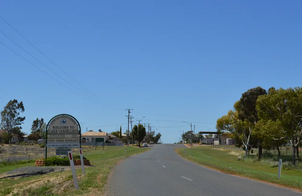
Town entry sign at Lake CargelligoPhoto: Mattinbgn · CC BY 3.0 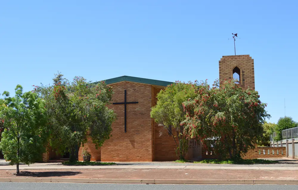
Church of the Epiphany in Lake CargelligoPhoto: Mattinbgn · CC BY 3.0 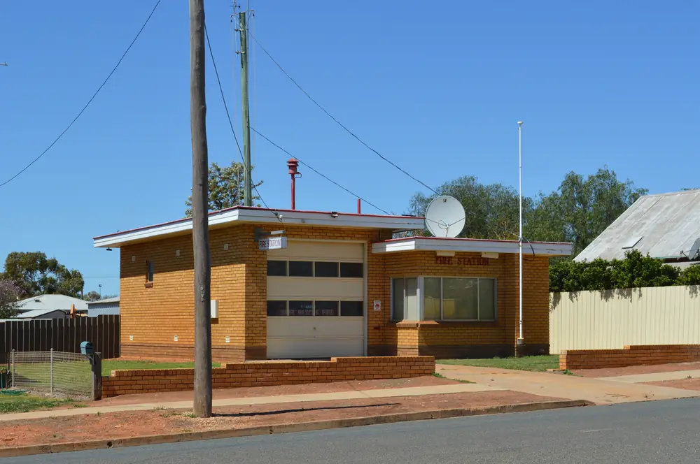
Fire station in Lake CargelligoPhoto: Mattinbgn · CC BY 3.0 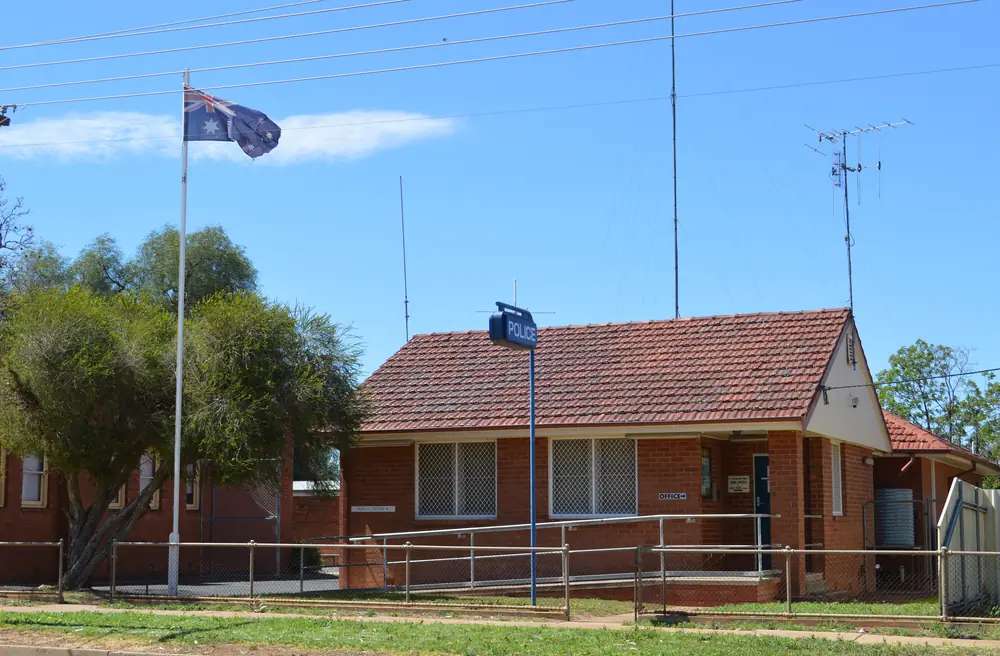
Police station in Lake CargelligoPhoto: Mattinbgn · CC BY 3.0
Lake Cargelligo sits on its namesake lake in Lachlan Shire, on this site’s Explorer Country list even though Destination NSW files the attraction under Parkes and surrounds / Condobolin. Visit NSW’s destination-information listing is the official lake geography used here: the showpiece of the largest natural inland lake system in New South Wales, volume 36,000 megalitres, surface area 1,440 hectares, average depth 3.7 metres. This hub is the lake town. It is not Condobolin’s river street (about an hour east on Visit NSW’s Condobolin page), not a Griffith suburb (Griffith has no town page on this site), and not a Kidman Way city.
The Australian Bureau of Statistics publishes a 2021 Urban Centre and Locality UCL115095: 1,169 people, median age 39, sex split 48.8% male / 51.2% female. 275 families, 571 private dwellings. Aboriginal and/or Torres Strait Islander people were 242 (20.7%) of the UCL. Suburbs and localities SAL12250 counted 1,430. Use the UCL QuickStats for the urban town figure this hub quotes. Travellers stop for the lake, birdwatching and a foreshore night. You still need Live Traffic NSW after rain, because a seven-hour run from Sydney is no use if the approach is closed.
Where it is, and how far
Lake Cargelligo is the Lachlan Shire town Visit NSW places not far from the Newell Highway, Mid-Western Highway and Kidman Way. Condobolin is about an hour east. Griffith is 90 minutes south on Visit NSW, 1 hour 50 minutes on NSW Health’s Multipurpose Service page — those are different wordings; this hub does not average them. Parkes is two hours northeast on Visit NSW — named, not linked.
| Place | Distance from Lake Cargelligo (sourced) |
|---|---|
| Sydney | seven hours (NSW Health MPS page). Kilometre not printed there |
| Lakeview Caravan Park | approximately 600 kilometres west of Sydney (Lachlan Shire caravan-parks page) |
| Griffith | 90 minutes (Visit NSW) / 1 hour 50 minutes (NSW Health). Kilometre not printed |
| Parkes | two hours southwest of Parkes on Visit NSW’s attraction wording (drive to the lake). Kilometre not printed |
| Wagga Wagga | about three hours north of Wagga Wagga (NSW Health) |
| Condobolin | about an hour (Visit NSW Condobolin page) |
| Lake Cargelligo Airport (BOM 075039) | 33.28°S, 146.37°E, elevation 169 m — open town table, not a drive time |
Hillston is the Kidman Way Lachlan neighbour on this site. A Lake Cargelligo–Hillston kilometre was not on the sourced town pages, so this hub does not invent one.
Facts at a glance
Population. ABS 2021 UCL115095: 1,169 people. Median age 39. 20.7% Aboriginal and/or Torres Strait Islander. Lake Cargelligo UCL QuickStats. SAL12250 is the larger suburbs-and-localities count.
Climate. Bureau of Meteorology LAKE CARGELLIGO AIRPORT, 075039, 33.28°S, 146.37°E, elevation 169 m, commenced 1881, status: open, latest available data 9 November 2026. Mean maximum (99 years, 1907–2023): January 34.2 °C, July 15.5 °C, annual 25.1 °C. Mean minimum (98 years): January 18.6 °C, July 3.4 °C, annual 10.9 °C. Mean rainfall (136 years, 1881–2026): annual 422.4 mm; January 40.9 mm wettest mean month; April 30.2 mm driest. Mean days of rain ≥ 1 mm: 48.1. Mean clear days: 128.3 a year (38 years, 1966–2010). See Lake Cargelligo weather.
Visitor information. Lake Cargelligo Visitor Information Centre, 1 Foster Street, views onto the lake. (02) 6898 1501, tourism@lachlan.nsw.gov.au. NSW Government: houses the Alf Tyack Stone Butterfly and Gem Collection; souvenirs, local art and craft. Visit NSW: hire binoculars and a field guide for birdwatching here. Roads: Live Traffic NSW.
Traditional Owners
Lachlan Shire Council acknowledges the Wiradjuri people as the Traditional custodians of this land. Visit Lachlan Shire’s Heart of NSW magazine: the name Lake Cargelligo is a variation of “Cudjallagong”, which in the Wiradjuri language means “Lake”. Although Lake Cargelligo is in the centre of Wiradjuri country, many Aboriginal people living there now were resettled from Carowra Tank in Ngiyampaa country and from Menindee, which is Paakantyi country. NPWS’s Mount Grenfell Historic Site page, used on this site’s Mount Grenfell guide, records that in the 1930s many Ngiyampaa people were relocated to Murrin Bridge near Lake Cargelligo — a park-history sentence, not a replacement for the shire wording. Confirm current acknowledgement at 1 Foster Street. See visiting Country respectfully.
History
Visit NSW frames the town as an oasis for water sports and birdwatching in the Parkes region. The lake, not a gold street, is the founding visitor fact. Heart of NSW: due to relatively permanent water, the lake and some parts of the Lachlan River were used by Aboriginal people for centuries as meeting places; artefacts have been found on the foreshores; Deadmans Point is the location of several Aboriginal freshwater mussel shell middens. Stay off middens. Photograph from formed access.
The Blue Waters Arts and Craft Exhibition is held in the Lake Cargelligo Memorial Hall on the June long weekend on Visit NSW’s attraction page. The Lake Cargelligo Annual Show sits on Visit NSW’s Condobolin events list (September on that listing). Dates move. Ask 1 Foster Street.
Things to do
Visit NSW and Lachlan Shire name these in and around Lake Cargelligo:
- The lake — sailing, kayaking, waterskiing, swimming, canoeing; 1,440 hectares, average depth 3.7 metres
- Fishing — lake and nearby Lachlan River; Murray cod, silver perch and redfin on Visit NSW; year-round on that wording
- Birdwatching — bird sanctuary; brolgas and white-bellied sea eagles on the Condobolin destination page; hire binoculars and a field guide at the VIC
- Foreshore walking and cycling track
- Lake Cargelligo Museum
- Alf Tyack Stone Butterfly and Gem Collection — visitor centre
- Blue Waters Arts and Craft Exhibition — June long weekend, Memorial Hall
Nearby, not in-town: Condobolin Gum Bend Lake and Utes in the Paddock, about an hour east. Griffith wineries are Griffith — named, not linked. Hillston is the Kidman Way neighbour.
See things to do in Lake Cargelligo.
Where to stay
Visit NSW names Lachlan Way Motel, Lake Cargelligo Motel and two classic country pubs. NSW Health’s Multipurpose Service page records two motels, a caravan park and two hotels. Lachlan Shire names Lakeview Caravan Park: 60 powered sites, 50 unpowered sites, eight cabins, amenities, laundry, BBQ and camp kitchen, pet friendly, (02) 6898 1077, walking distance of the lake and main street. Those are official named types, not a ranked motel strip.
- How to choose: Lake Cargelligo accommodation
- Camping detail: Lake Cargelligo caravan parks
- Operator enquiries: feature your business
If Lake Cargelligo is full, Condobolin is the shire overflow about an hour east.
Caravan and camping
Vans use Lake Cargelligo as a lake overnight. The sourced park is council’s Lakeview Caravan Park. Visit NSW’s destination-information listing also names camping among lake recreations — confirm whether that is the park, a foreshore rule, or a no. Ask (02) 6898 1077 and the VIC. Read Lake Cargelligo caravan parks and outback camping. Do not camp on middens at Deadmans Point.
Fuel and services
A town of 1,169 people will not match Griffith for a referral hospital. Lake Cargelligo Multipurpose Service, 34 Uabba Street, provides 24-hour accident and emergency, hospital care beds, residential aged care, allied health and community nursing (NSW Health). Phone (02) 6898 0200. This guide does not list a bowser brand. Fill here before Kidman Way or Newell loops. Visitor questions: (02) 6898 1501.
Road access
Visit NSW: not far from the Newell, Mid-Western Highway and Kidman Way. Those are sealed freight roads in ordinary weather. After rain, Live Traffic NSW. Pull over for road trains.
East: Condobolin about an hour. South: Griffith — no town page. West: Hillston on this site via the Kidman Way corridor. North-east: Parkes — named, not linked. West Wyalong is the Bland Shire Newell neighbour. Rankins Springs is the Mid-Western Highway neighbour.
Nearby parks and towns
Parks and named nature sites:
- Lake Cargelligo — 1,440 hectares, Visit NSW
- Foreshore walking and cycling track
- Deadmans Point shell middens — Heart of NSW; look, do not disturb
- Mount Grenfell — Ngiyampaa art site in Cobar Shire; Murrin Bridge near Lake Cargelligo is a relocation sentence on that park page, not a Lake Cargelligo town walk
Towns on this site:
- Condobolin — about an hour east
- West Wyalong — Bland Shire
- Hillston — Kidman Way
- Rankins Springs — Mid-Western Highway
Named, not linked: Griffith, Parkes, Wagga Wagga, Murrin Bridge, Tullibigeal.
When to go, and how long
BOM Lake Cargelligo Airport January mean maximum of 34.2 °C is hot for a midday foreshore walk. July’s 15.5 °C mean maximum is the walking season on paper; July’s 3.4 °C mean minimum is why a van night needs a layer. Annual rainfall 422.4 mm on 136 years. January’s 40.9 mm is the wettest mean month on that table.
An hour covers the VIC gem collection, a foreshore walk and a lake photograph if the water is in. A night covers a motel or Lakeview site and a bird hide if the VIC still hires binoculars. Two nights if you add Condobolin as a day and the lake is holding water for a ski.
Operators who want a checked listing: feature your business. The listings slot on this hub stays empty until then.
Plan this trip
Tell us the dates, who you are travelling with and where you need help. We reply with planning notes for Lake Cargelligo — we are not a booking agent.
Events and road-conditions newsletter
Occasional notes on outback festivals, race days and official road-condition sources — not a daily blast. We use these details only to send the newsletter.
New South Wales · Explorer Country
Lake Cargelligo accommodation
Where to stay in Lake Cargelligo: Visit NSW names Lachlan Way Motel, Lake Cargelligo Motel and country pubs; Lachlan Shire names Lakeview Caravan Park. Confirm before you unhitch.
Read · 3 min
New South Wales · Explorer Country
Lake Cargelligo caravan parks
Camping in Lake Cargelligo: Lachlan Shire names Lakeview Caravan Park — 60 powered sites, 50 unpowered, eight cabins. Confirm foreshore camping before you unhitch. Not Griffith.
Read · 3 min
New South Wales · Explorer Country
Lake Cargelligo weather
Lake Cargelligo climate from BOM Lake Cargelligo Airport (075039): January mean max 34.2 °C, July 15.5 °C, annual rainfall 422.4 mm. Open station. Lachlan Shire, not a Griffith table.
Read · 3 min
New South Wales · Explorer Country
Things to do in Lake Cargelligo
Things to do in Lake Cargelligo: 1,440-hectare inland lake, fishing, foreshore track, birdwatching, museum and the Alf Tyack gem collection. Neighbour Condobolin. Lachlan Shire, not Griffith.
Read · 3 min
Frequently asked questions
How far is Lake Cargelligo from Griffith and Sydney?
Visit NSW puts Lake Cargelligo 90 minutes north of Griffith and two hours’ drive southwest of Parkes. NSW Health’s Multipurpose Service page puts the town 1 hour 50 minutes north of Griffith, about three hours north of Wagga Wagga and a seven-hour drive from Sydney. Those pages do not print kilometre figures for those drives except where Lachlan Shire prints approximately 600 kilometres from Sydney for Lakeview Caravan Park.
What is Lake Cargelligo’s population?
1,169 people at the 2021 Census for the Lake Cargelligo Urban Centre and Locality (UCL115095), median age 39. Suburbs and localities SAL12250 counted 1,430. Aboriginal and/or Torres Strait Islander people were 242 (20.7%) of the UCL.
How big is the lake?
Visit NSW’s Lake Cargelligo – Lachlan Shire listing: the showpiece of the largest natural inland lake system in New South Wales, volume 36,000 megalitres, surface area 1,440 hectares, average depth 3.7 metres. Confirm current water before you plan a ski day.
What is there to do in Lake Cargelligo?
Visit NSW names sailing, kayaking, waterskiing, swimming, fishing on the lake and the Lachlan River (Murray cod, silver perch and redfin), a shared foreshore walking and cycling track, birdwatching (hire binoculars and a field guide from the tourist information centre), the Lake Cargelligo Museum, and the Alf Tyack Stone Butterfly and Gem Collection at the visitor centre. Brolgas and white-bellied sea eagles are named on the Condobolin destination page.
What is the weather like in Lake Cargelligo?
BOM Lake Cargelligo Airport (075039, open): January mean maximum 34.2 °C, July 15.5 °C, annual rainfall 422.4 mm (136 years, 1881–2026). Temperature means use 99 years (1907–2023).
Where should I stay in Lake Cargelligo?
Visit NSW names Lachlan Way Motel, Lake Cargelligo Motel and two classic country pubs. Lachlan Shire names Lakeview Caravan Park (60 powered sites, 50 unpowered sites, eight cabins, pet friendly, (02) 6898 1077). NSW Health’s service page also records two motels, one caravan park and two hotels. Confirm at 1 Foster Street.
Sources and further reading
Facts on this page were checked against these primary and official sources. Conditions change — confirm before you travel or buy.
- Lake Cargelligo 2021 Census QuickStats (UCL115095) — Australian Bureau of Statistics
- Lake Cargelligo 2021 Census QuickStats (SAL12250) — Australian Bureau of Statistics
- Climate statistics for Lake Cargelligo Airport (075039) — Bureau of Meteorology
- Lake Cargelligo — Destination NSW
- Lake Cargelligo - Lachlan Shire — Destination NSW
- Lake Cargelligo Visitor Information Centre — NSW Government
- Lachlan Shire Caravan Parks — Lachlan Shire Council
- Lake Cargelligo Multipurpose Service — NSW Health
- The Heart of NSW — Lachlan Shire Council
- Live Traffic NSW — Transport for NSW