At a glance
Sourced facts only. Distances and services change — confirm before you travel.
- Population
- 81 people (SAL14144, 2021 Census)
- Local government
- Bourke Shire
- Traditional Owners
- Not named for the Wanaaring townsite on Visit Bourke’s Wanaaring pageNocoleche Nature Reserve is an NPWS reserve 20 km south — read park signage on Country. Confirm wording at the Back O' Bourke centre.
- Nearest regional city
- Bourke is the service town to the east. A Bourke–Wanaaring kilometre is not printed on the Visit Bourke Wanaaring page used here. Nocoleche Nature Reserve is 20 km south (Visit Bourke).
- Nearest fuel
- Visit Bourke names the Wanaaring Store & Caravan Park. This guide does not name a bowser brand. Fill in Bourke before you leave the bitumen.
- Nearest hospital or clinic
- Confirm with NSW Health — do not invent a clinic name. Bourke is the shire service town.
- Mobile coverage
- Check Telstra and Optus coverage maps before travel; do not assume a signal on surrounding roads.
- Best time to visit
- Cooler BOM Wanaaring Post Office mean maxima May–September. January mean maximum 37.6 °C. Unsealed roads west of Bourke close after rain — Live Traffic NSW.
Climate
Monthly means from the Bureau of Meteorology station Wanaaring Post Office (048079). This is not a forecast. Open. Commenced 1884. Elevation 108 m. Mean maxima 33 years (1991–2026); minima 32 years; rainfall 133 years (1884–2026).
| Month | Mean max (°C) | Mean min (°C) | Rainfall (mm) |
|---|---|---|---|
| Jan | 37.6 | 22.7 | 33.9 |
| Feb | 35.6 | 21.7 | 34.6 |
| Mar | 32.7 | 18.3 | 27.5 |
| Apr | 28.3 | 13.1 | 15.5 |
| May | 22.8 | 8.7 | 24.2 |
| Jun | 19.2 | 5.5 | 20.0 |
| Jul | 19.0 | 4.2 | 17.6 |
| Aug | 21.5 | 5.4 | 15.1 |
| Sep | 26.0 | 9.2 | 14.7 |
| Oct | 29.8 | 13.6 | 21.6 |
| Nov | 32.8 | 17.4 | 25.8 |
| Dec | 35.4 | 20.3 | 28.3 |
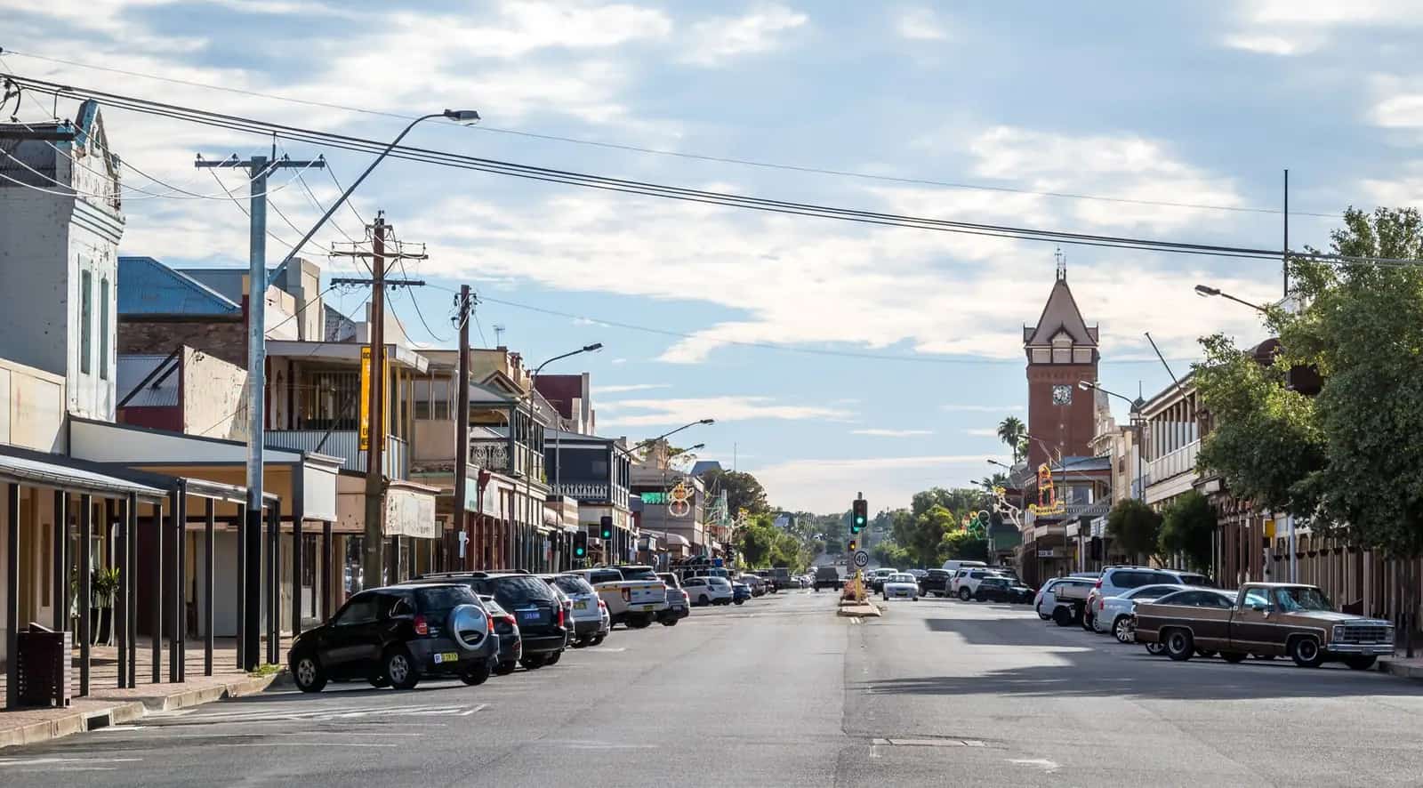
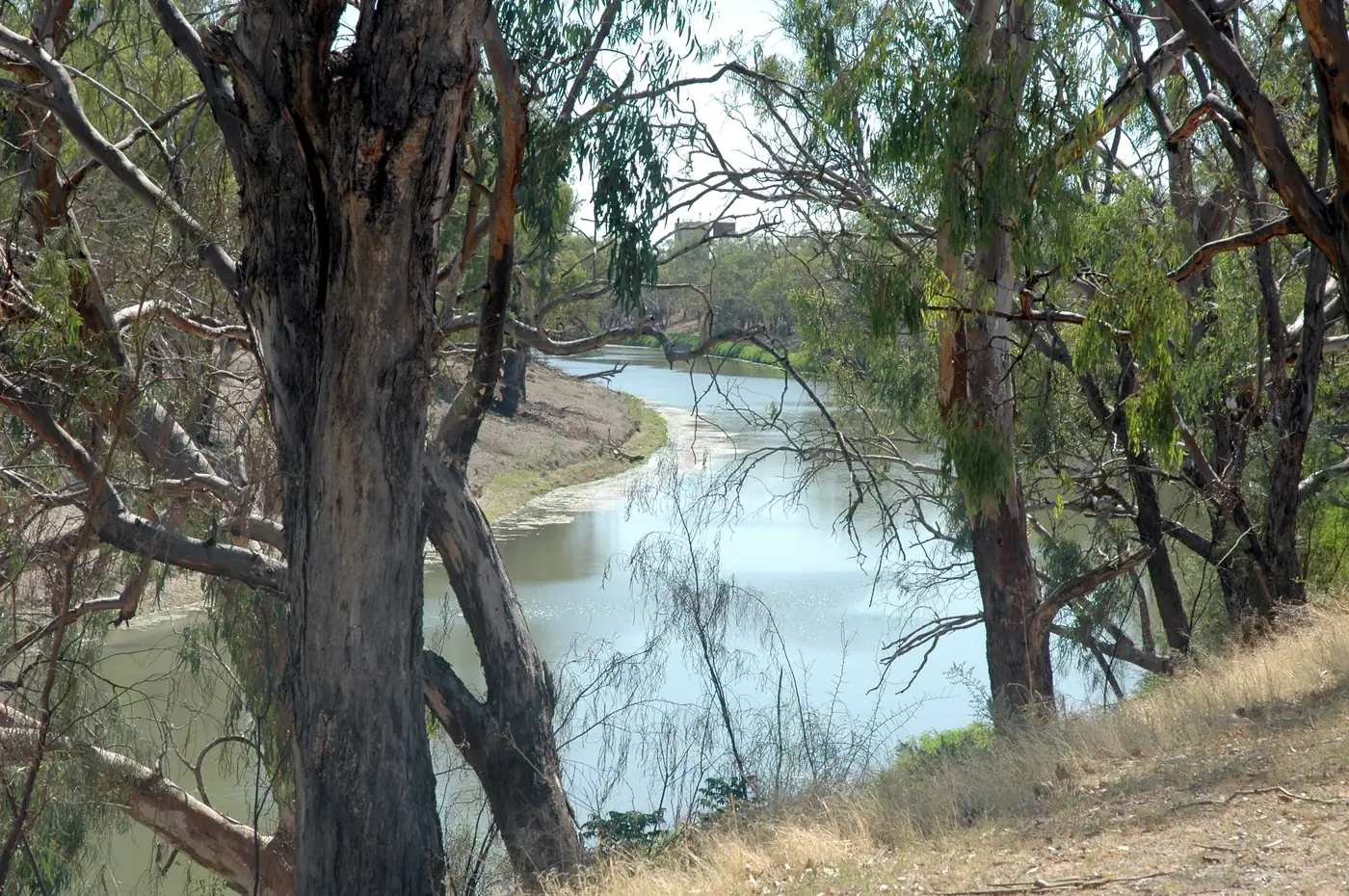
Wanaaring is a Paroo River town in Outback NSW, west of Bourke on Visit Bourke’s Corner Country road. Visit Bourke’s Wanaaring page is the official town listing used here: a settlement from the 1880s, a school since 1887, the Wanaaring Store & Caravan Park, and Nocoleche Nature Reserve 20 km south. This is not a Darling River port. The Darling River Run runs through Bourke and Louth; Wanaaring is the Paroo / west-of-Bourke hinge.
The Australian Bureau of Statistics does not publish a 2021 Urban Centre (UCL) named Wanaaring. Use suburbs-and-localities SAL14144: 81 people, median age 34, sex split 61.7% male / 38.3% female. 19 families, 41 private dwellings. QuickStats notes limited tables because of the small population.
Bourke’s own guide already warns that roads to Wanaaring are unsealed and close after rain. Check Live Traffic NSW and the Bourke Shire road report. Fill in Bourke. This hub does not invent a Bourke–Wanaaring kilometre Visit Bourke does not print.
Where it is, and how far
Wanaaring sits on the Paroo in Bourke Shire. West and north-west, Corner Country roads continue toward Tibooburra on that town’s own guide — this hub does not invent a Wanaaring–Tibooburra kilometre. North-east, Hungerford is the Queensland border pub town on the Paroo. Enngonia is a Bourke Shire neighbour on the Mitchell Highway corridor.
Visit Bourke’s only printed kilometre used here is Nocoleche Nature Reserve, 20 km south.
| Place | Distance from Wanaaring (sourced) |
|---|---|
| Nocoleche Nature Reserve | 20 km south (Visit Bourke Wanaaring page) |
| Bourke | Service town to the east — kilometre not printed on the Visit Bourke Wanaaring page used here; fill there before you leave the bitumen |
| Wanaaring Post Office (BOM) | 29.70°S 144.15°E, elevation 108 m — climate station in town, not a drive time |
Facts at a glance
Population. ABS 2021 Census SAL14144: 81 people. Median age 34. 19 families, 41 dwellings. No UCL. Wanaaring SAL QuickStats.
Climate. WANAARING POST OFFICE, 048079, 29.70°S, 144.15°E, elevation 108 m, commenced 1884, status open, latest data 10 Nov 2026 on the table fetched here. Mean maximum (33 years, 1991–2026): January 37.6 °C, July 19.0 °C, annual 28.4 °C. Mean minimum (32 years): January 22.7 °C, July 4.2 °C, annual 13.3 °C. Mean rainfall (133 years, 1884–2026): annual 278.9 mm. Mean days of rain ≥ 1 mm: 27.8. See Wanaaring weather.
Visitor information. Visit Bourke’s Wanaaring page and the Bourke visitor desk are the official sources. Live Traffic NSW and Bourke Shire roads for the unsealed run. NPWS for Nocoleche.
Traditional Owners
This hub does not invent a Wanaaring township nation label that Visit Bourke’s page does not print for the townsite. Nocoleche Nature Reserve is an NPWS reserve 20 km south — read park and reserve signage on Country before you leave the public road. Stay on gazetted roads. See visiting Country respectfully.
History
Visit Bourke places Wanaaring on the Paroo from the 1880s, with a school since 1887. The store and caravan park are the named contemporary services. This hub does not invent a founding gazettal year beyond that 1880s wording, a wool-clip figure, or a visitor count. Bourke remains the Darling port and Darling River Run hub; Wanaaring is the west road.
Things to do
Visit Bourke names:
- Wanaaring Store & Caravan Park — the named service and stay
- Nocoleche Nature Reserve, 20 km south — NPWS reserve, not a town park; check alerts; stay on public access
- Corner Country roads toward Tibooburra — only if Live Traffic NSW agrees
The school since 1887 is community history, not a visitor attraction. Do not photograph people or closed sites without asking.
See things to do in Wanaaring.
Where to stay
Visit Bourke names the Wanaaring Store & Caravan Park. This hub does not invent a motel chain. If the park is full or the road is closing, Bourke is the service-town overflow. Louth sits on the Darling River Run south of Bourke — a different road.
- How to choose: Wanaaring accommodation
- Camping detail: Wanaaring caravan parks
- Operator enquiries: feature your business
Caravan and camping
A van can reach Bourke on sealed highways in ordinary weather. Bourke’s own guide states the road to Wanaaring is unsealed and closes after rain. Visit Bourke names the Wanaaring Store & Caravan Park. Nocoleche camping, if NPWS offers it the week you go, is a reserve product. Read Wanaaring caravan parks and outback camping. Do not drive around a closed sign.
Fuel and services
A locality of 81 people will not match Bourke. This guide does not list bowser brands. Visit Bourke names the store. Fill in Bourke before you leave the bitumen. For current questions use Visit Bourke, Bourke Shire and Live Traffic NSW.
Road access
Bourke’s guide: roads to Gundabooka, Louth and Wanaaring are unsealed and close after rain — check Live Traffic NSW and the Bourke Shire road report. Kangaroos, goats, emus and stock are named on that Bourke page. Avoid dawn and dusk. The Darling River Run is the Darling corridor through Bourke and Louth, not a promise that Wanaaring is on the Darling.
Nearby parks and towns
Reserves:
- Nocoleche Nature Reserve — 20 km south (Visit Bourke)
Towns on this site:
- Bourke — service town, Darling River Run
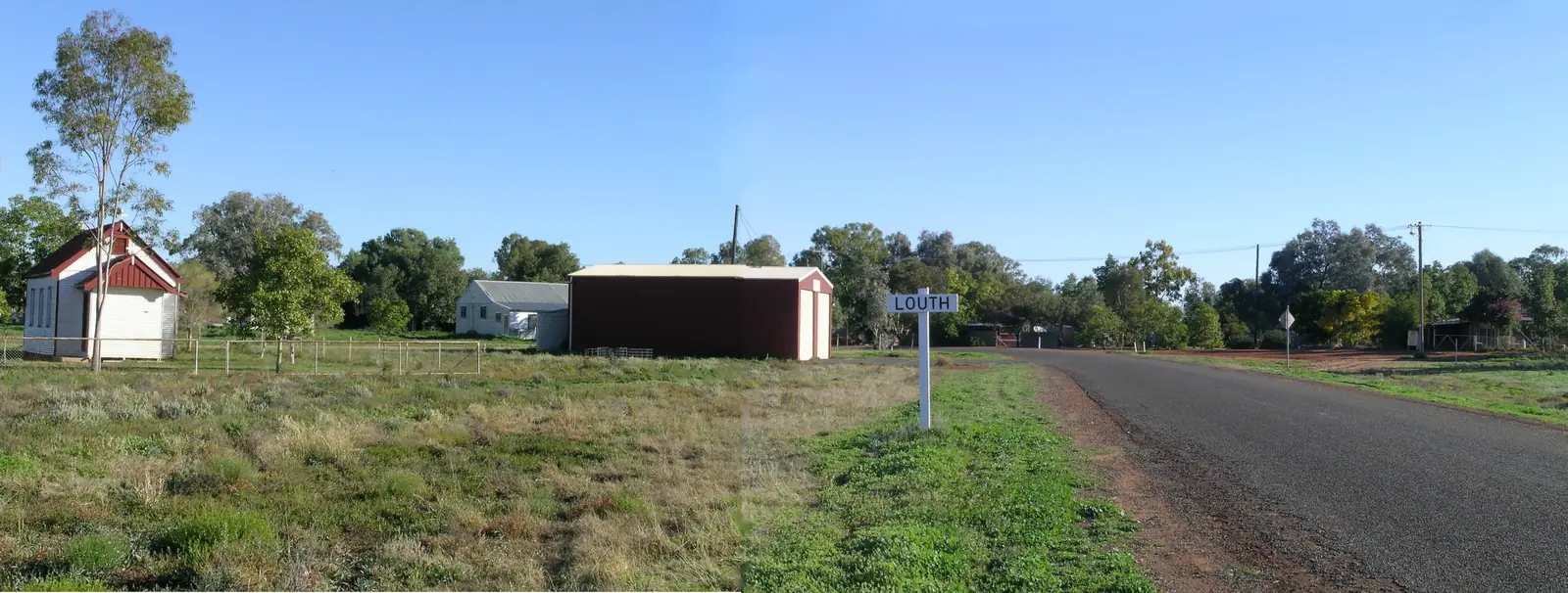
- Louth — Darling, not Paroo
- Tibooburra — Corner Country
- Hungerford — Queensland Paroo border town
- Enngonia — Mitchell Highway Bourke Shire neighbour
When to go, and how long
Wanaaring Post Office’s January mean maximum of 37.6 °C is hot for an unsealed road with no invented roadhouse count. July’s 19.0 °C mean maximum and 4.2 °C mean minimum are the travelling season on paper. Annual rain 278.9 mm still closes dirt. A store stop is minutes if the road is open. A night at the caravan park is the honest stay. Nocoleche is a reserve add-on, 20 km south, only if NPWS and Live Traffic NSW agree.
Operators who want a checked listing: feature your business. The listings slot on this hub stays empty until then.
Bourke’s own hub already treats this west road as a stocking-up problem: fill fuel, food and water in Bourke before the long stretches toward Wanaaring and Tibooburra. That is why this page will not invent a bowser brand or a supermarket aisle for 81 people. The Mitchell Highway through Bourke is sealed; the Wanaaring road is not. Live Traffic NSW and the Bourke Shire road report are the pair to check the morning you leave, not the week you booked. Visit Bourke’s school since 1887 and 1880s settlement wording are community history — the school is not a visitor attraction. Nocoleche Nature Reserve remains an NPWS reserve 20 km south, not a town park and not a fossicking licence. Hungerford is the Queensland Paroo border pub on that town’s own guide; it is a different jurisdiction and a different road report once you cross. Tibooburra is Corner Country, not a last-minute sedan backup. Louth is on the Darling, on the Darling River Run, which is why this hub keeps saying Wanaaring is the Paroo west of Bourke, not a Darling port. Enngonia is the Mitchell Highway Bourke Shire neighbour. BOM Wanaaring Post Office (048079) is the in-town open station: January mean maximum 37.6 °C, July mean minimum 4.2 °C, annual rain 278.9 mm over 133 years. That long rainfall record still closes dirt when a burst arrives. Stay on gazetted public roads.
Plan this trip
Tell us the dates, who you are travelling with and where you need help. We reply with planning notes for Wanaaring — we are not a booking agent.
Events and road-conditions newsletter
Occasional notes on outback festivals, race days and official road-condition sources — not a daily blast. We use these details only to send the newsletter.
New South Wales · Outback NSW
Things to do in Wanaaring
Wanaaring things to do from Visit Bourke: Wanaaring Store, Nocoleche Nature Reserve 20 km south, Corner Country roads toward Tibooburra. Not a Darling River Run port. Check Live Traffic NSW.
Read · 3 min
New South Wales · Outback NSW
Wanaaring accommodation
Where to stay in Wanaaring NSW from Visit Bourke: Wanaaring Store & Caravan Park. Bourke is the sealed-road overflow. Roads west of Bourke unseal and close after rain — check Live Traffic NSW.
Read · 3 min
New South Wales · Outback NSW
Wanaaring caravan parks
Caravan and camping in Wanaaring NSW from Visit Bourke: Wanaaring Store & Caravan Park. The road west of Bourke is unsealed and closes after rain. Nocoleche is a reserve, 20 km south.
Read · 3 min
New South Wales · Outback NSW
Wanaaring weather
Wanaaring climate from BOM Wanaaring Post Office (048079): January mean max 37.6 °C, July 19.0 °C, annual rainfall 278.9 mm. Open station since 1884. Live Traffic NSW after rain.
Read · 3 min
Frequently asked questions
How far is Wanaaring from Nocoleche Nature Reserve?
Visit Bourke’s Wanaaring page puts Nocoleche Nature Reserve 20 km south of Wanaaring. Confirm the day’s road on Live Traffic NSW and the Bourke Shire road report. This hub does not invent a Bourke–Wanaaring kilometre that Visit Bourke does not print on that page.
What is Wanaaring’s population?
81 people at the 2021 Census for Wanaaring suburbs-and-localities (SAL14144). The ABS does not publish a 2021 Urban Centre (UCL) named Wanaaring. QuickStats notes limited tables because of the small population.
What weather record should I use?
BOM Wanaaring Post Office (048079) is open: January mean maximum 37.6 °C, July 19.0 °C, annual rainfall 278.9 mm (133 years, 1884–2026). Commenced 1884, elevation 108 m.
Is Wanaaring on the Darling River Run?
The Darling River Run is the named Destination NSW / this-site road trip along the Darling through Bourke, Louth and towns further south. Wanaaring sits west of Bourke on the Paroo. Treat it as a Bourke-west / Corner Country side trip, not as a Darling port. Use /road-trips/darling-river-run for the Darling corridor.
Where should I stay in Wanaaring?
Visit Bourke names the Wanaaring Store & Caravan Park. If the park is full or the road is closing, Bourke is the service-town overflow.
Whose Country is Wanaaring on?
Visit Bourke’s Wanaaring page does not print a townsite nation label. Nocoleche Nature Reserve is an NPWS reserve 20 km south — read park and reserve signage on Country. Confirm wording at the Back O' Bourke Information and Exhibition Centre.
Sources and further reading
Facts on this page were checked against these primary and official sources. Conditions change — confirm before you travel or buy.
- Wanaaring 2021 Census QuickStats (SAL14144) — Australian Bureau of Statistics
- Climate statistics for Wanaaring Post Office (048079) — Bureau of Meteorology
- Wanaaring — Visit Bourke
- Live Traffic NSW — Transport for NSW
- Darling River Run — Outback Now