At a glance
Sourced facts only. Distances and services change — confirm before you travel.
- Local government
- Charters Towers Regional Council
- Traditional Owners
- Not named on the Visit Charters Towers Ravenswood town page. Visit Charters Towers’ history page names Gudjal people along the Burdekin and Broughton Rivers. That is Charters Towers wording, not a Ravenswood native-title determination printed for this townsite.
- Nearest regional city
- Visit Charters Towers: 89 km east of Charters Towers, south of the Flinders Highway. The same visitor organisation’s Heritage Trail lists Charters Towers to Ravenswood as 88 km. This hub prints both.
- Nearest fuel
- Visit Charters Towers names the general store among original buildings that still operate. Confirm a bowser on arrival; this hub does not invent a brand or hours.
- Mobile coverage
- Check Telstra and Optus coverage maps before travel; do not assume a signal on the Burdekin Falls Dam road or unsealed approaches.
- Best time to visit
- May–September on Charters Towers Airport Comparison (034084) cooler mean maxima (July 25.1 °C; December 34.7 °C). QLDTraffic after rain. This is a labelled nearby table, not a Ravenswood street mean.
Climate
Monthly means from the Bureau of Meteorology station Charters Towers Airport Comparison (034084). This is not a forecast. Open. Labelled nearby temperature table — BOM’s Queensland climate-averages index used here does not include a Ravenswood town station. Commenced 1942. Elevation 290 m. Annual mean rainfall 651.3 mm. Do not treat these means as Ravenswood main-street figures.
| Month | Mean max (°C) | Mean min (°C) | Rainfall (mm) |
|---|---|---|---|
| Jan | 33.8 | 22.4 | 150.5 |
| Feb | 33.0 | 22.3 | 147.8 |
| Mar | 32.1 | 21.0 | 77.6 |
| Apr | 30.4 | 18.4 | 27.9 |
| May | 27.5 | 15.2 | 26.7 |
| Jun | 25.2 | 12.7 | 17.6 |
| Jul | 25.1 | 11.7 | 22.9 |
| Aug | 27.0 | 12.3 | 13.9 |
| Sep | 30.4 | 15.1 | 8.3 |
| Oct | 33.1 | 18.2 | 18.1 |
| Nov | 34.2 | 20.5 | 60.4 |
| Dec | 34.7 | 21.9 | 79.6 |
Ravenswood, Queensland in pictures
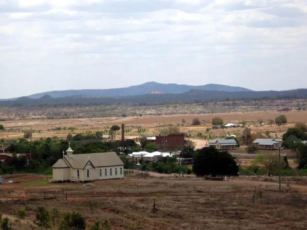
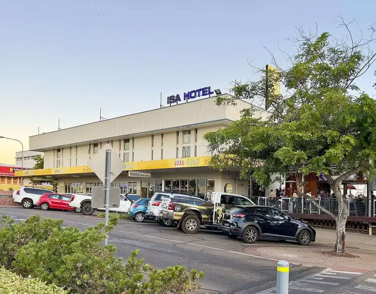
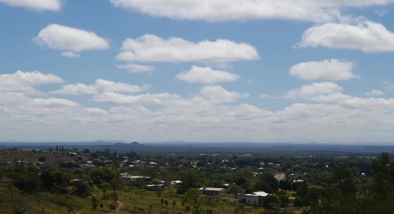
Ravenswood town streetPhoto: Rob and Stephanie Levy · CC BY 2.0 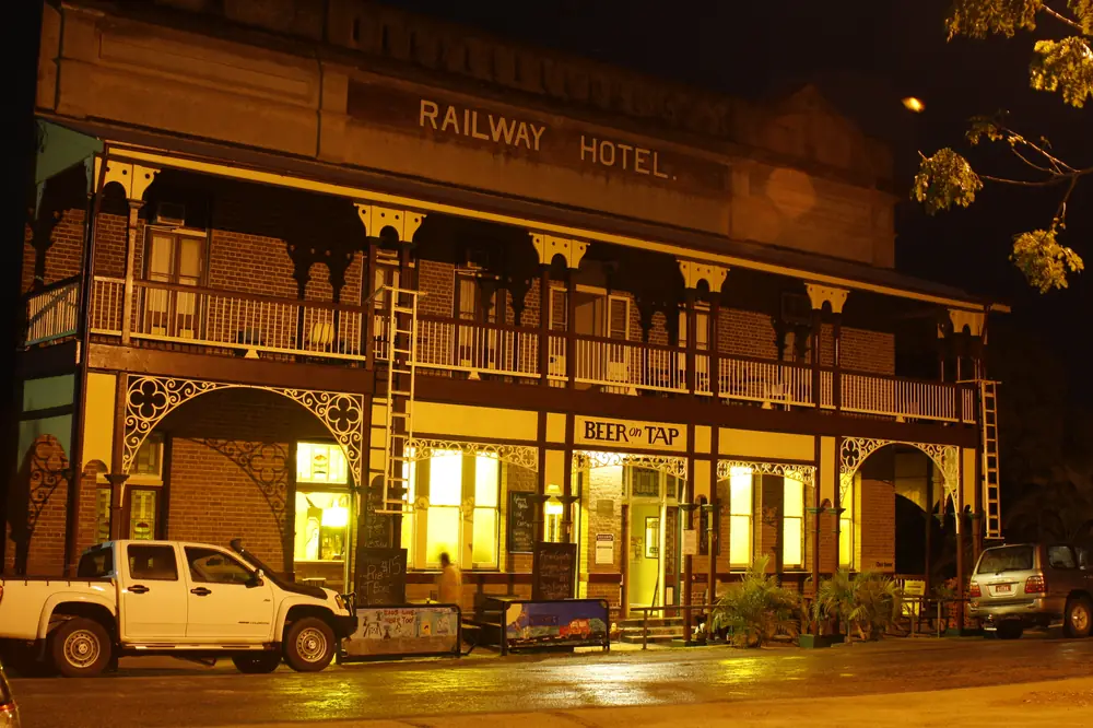
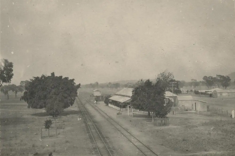
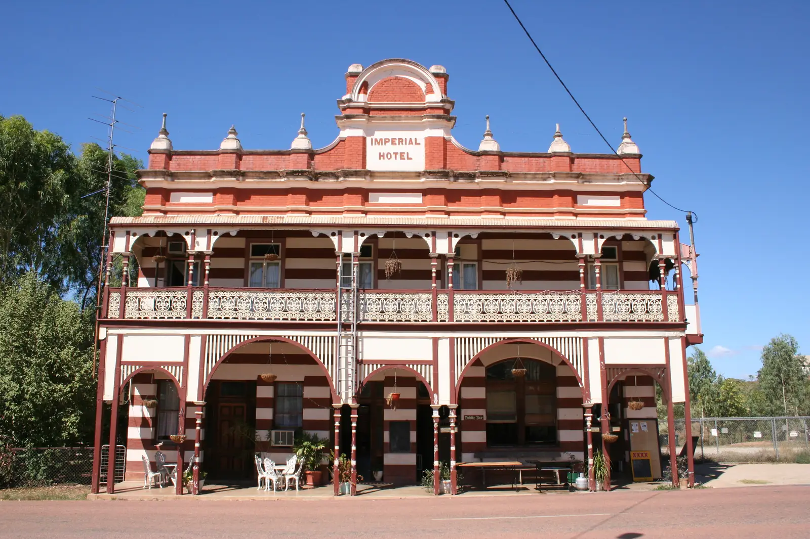
Railway Hotel in RavenswoodPhoto: Smokin4Christ · CC BY-SA 3.0 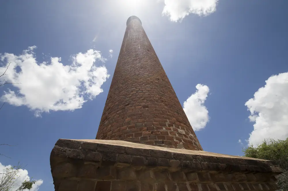
Historic mine chimney in RavenswoodPhoto: Jim Bendon · CC BY-SA 2.0 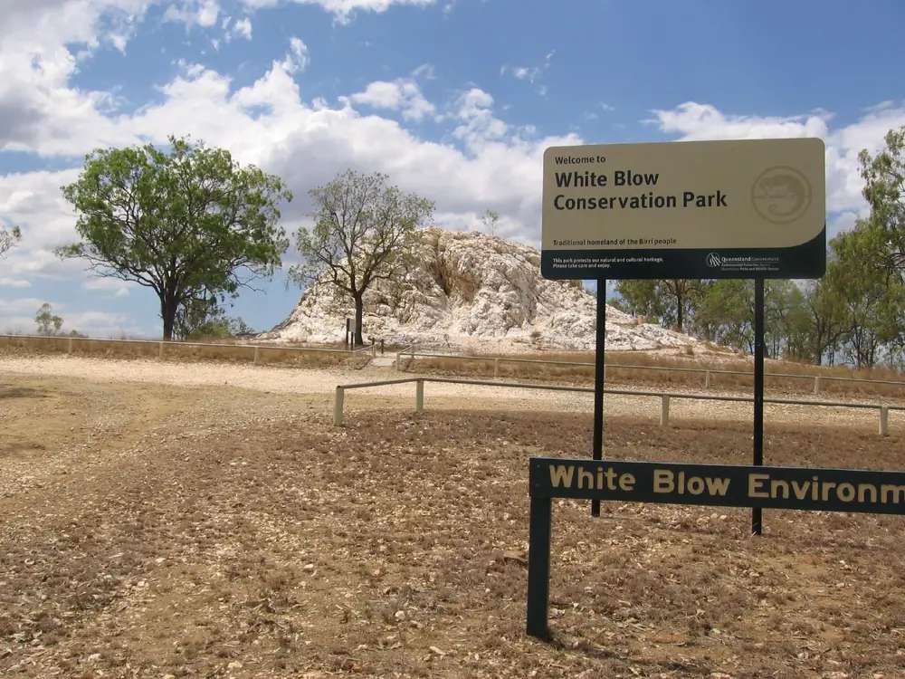
White Blow quartz outcrop at RavenswoodPhoto: Rob and Stephanie Levy · CC BY 2.0
Ravenswood, Queensland sits in the Charters Towers Region, in this site’s Outback North directory, south of the Flinders Highway. Visit Charters Towers is the source for that placement: a must-see heritage listed town 89 kilometres east of Charters Towers. The same visitor organisation’s Five Drives to Discovery Heritage Trail lists Charters Towers to Ravenswood – 88 km. This hub prints both official kilometres rather than inventing a winner. This is not a Western Australian town page and not a Tasmanian town page.
Tourism and Events Queensland’s Explore Outback Queensland copy names Ravenswood as an old gold mining settlement. Visit Charters Towers is the local page used for the streetscape: gold found in 1868, still mined today from Ravenswood Gold, which that page calls Queensland’s largest active gold mine. Travellers stop for the Railway Hotel and Imperial Hotel, the Courthouse Museum, White Blow Environmental Park, chimneys from the steam-power era, and short walking trails. You still need QLDTraffic after rain, because an 88–89 km run from Charters Towers is no use if the road is closed.
The 2021 Census counted 297 people in the locality. That is a working gold town with a heritage street, not a ghost-town set and not a Charters Towers suburb.
Where it is, and how far
Ravenswood is the Charters Towers Region gold town east of the gold city, south of the Flinders Highway on Visit Charters Towers. It is not on the Flinders Highway main run toward Pentland and Homestead. Those two sit west of Charters Towers. This hub does not invent a Ravenswood–Pentland or Ravenswood–Homestead kilometre those official town pages do not print.
Visit Charters Towers’ Heritage Trail continues Ravenswood to Burdekin Falls Dam (Lake Dalrymple) – 83 km, then Burdekin Falls Dam to Collinsville – 140 km or Burdekin Falls Dam to Mt Coolon – 101 km. Those are trail figures, not Ravenswood main-street walks. Mingela is named on the same Five Drives page as Charters Towers to Mingela, Dotswood Road – 47 km on the Tropics Trail — a Charters Towers kilometre, not a Ravenswood kilometre. Greenvale is 207 km north of Charters Towers on the Explorer’s Trail. This site has no Mingela town page — named, not linked.
| Place | Distance (official pages used here) |
|---|---|
| Charters Towers | 89 km west on the Ravenswood town page; 88 km on the Heritage Trail. Do not pick one. |
| Burdekin Falls Dam (Lake Dalrymple) | 83 km from Ravenswood (Heritage Trail) |
| Mingela | 47 km from Charters Towers on the Tropics Trail — not printed as a Ravenswood kilometre |
| Greenvale | 207 km from Charters Towers on the Explorer’s Trail — not printed as a Ravenswood kilometre |
| Townsville | not published as a Ravenswood kilometre on those town pages. Visit Charters Towers puts Charters Towers 130 km from Townsville — that figure is for Charters Towers, not Ravenswood |
| Brisbane | not published on those pages |
The Five Drives page says these trails are not recommended for caravans, with 4WD, larger conventional vehicles and smaller campervans deemed suitable at most times. That sentence is about the designated trails, not a ban on towing into Ravenswood township on the ordinary sealed approach. Ask (07) 4761 5533 which road you are actually on.
Facts at a glance
Population. Australian Bureau of Statistics 2021 Census, Suburbs and Localities SAL32397, Ravenswood (Qld): 297 people. Median age 51. Sex split 63.1% male / 36.9% female (183 male, 107 female). Families 50. Private dwellings 177. Average household size 2. Median weekly household income $860. Aboriginal and/or Torres Strait Islander people 16 (5.4% of the locality). Use the ABS SAL QuickStats page. A 2021 Urban Centre named Ravenswood was not opened on the QuickStats product used here.
Climate. Bureau of Meteorology CHARTERS TOWERS AIRPORT COMPARISON, 034084, commenced 1942, elevation 290 m on this site’s Charters Towers climate table, status: open. Mean maximum: January 33.8 °C, July 25.1 °C, December 34.7 °C hottest month by mean max. Annual mean rainfall 651.3 mm (29 years, 1992–2026 on this site’s Charters Towers weather page). January 150.5 mm wettest mean month; September 8.3 mm driest. This is a labelled nearby table, not a Ravenswood township mean. BOM’s Queensland climate-averages index used for this guide does not include a Ravenswood town station. See Ravenswood weather.
Visitor information. Ravenswood does not have its own visitor information centre on the Visit Charters Towers pages used here. Use the Charters Towers Visitor Information Centre, 74 Mosman Street, phone (07) 4761 5533, Monday–Friday 8:30am–4:00pm, Saturday, Sunday and public holidays 9:00am–12:00pm, email tourinfo@charterstowers.qld.gov.au. Walking-trail maps: Visit Charters Towers says collect a copy from the Courthouse or Thorp’s building.
Traditional Owners
Visit Charters Towers’ Ravenswood town page does not print a Traditional Owner nation for the townsite. Visit Charters Towers’ history page names Gudjal people (pronounced Goodjal) as Traditional Owners, especially along the Burdekin and Broughton Rivers, the basalt lagoons, and west to White Mountains National Park. Neighbouring nations named on that page are Gugu Badhun, Yirandali and Jangga. That is Charters Towers wording covering Burdekin country. This guide does not flatten one gold-city sentence onto every verandah in Ravenswood. Confirm current wording at 74 Mosman Street. Visit as a guest; see visiting Country respectfully.
History
Visit Charters Towers: in 1868 while mustering cattle, Marmaduke Curr stopped to scoop up a drink of water from Elphinstone Creek and saw specks of alluvial gold in the bottom of his pannikin. Gold is still mined there today from Ravenswood Gold, which that page calls Queensland’s largest active gold mine.
The same page treats Ravenswood as a heritage listed town whose original buildings still operate: the general store, a church with its own special ghost story, private miners’ cottages and the school buildings. One-hundred-year-old-plus chimneys stand as links to the dozens of mines that littered the landscape from when steam power drove the excavation and processing of thousands of tonnes of gold ore. This hub does not invent a peak rush population, a shire-abolition year, or a 2026 mine-tour timetable the visitor page does not print.
Tourism and Events Queensland’s Explore Outback Queensland sentence is a gold-mining-settlement line, not a second Charters Towers “The World” story. Jupiter Mosman’s 1871 find belongs on the Charters Towers hub. Visit Charters Towers’ history narrative says gold rewards on the Cape, Gilbert and Ravenswood fields preceded the Towers find — that is a Charters Towers sentence naming this field, not a claim that Ravenswood is a Charters Towers suburb.
Things to do
Courthouse Museum. Visit Charters Towers: don’t miss the historic buildings, including two original hotels, the Railway Hotel and the Imperial Hotel, and the Courthouse Museum, where you can learn stories about the people who made Ravenswood. Confirm opening at (07) 4761 5533. This is not a ticketed city museum with published hours on that page.
Railway Hotel and Imperial Hotel. Named as the two original hotels. They are heritage streetscape and, on the same page, part of the town’s named accommodation types. See Ravenswood accommodation.
Walking trails. Visit Charters Towers: a number of short distance walking trails with interpretive signs throughout the township. Collect a copy of the trails’ map from the Courthouse or Thorp’s building. Stay on signed ground. This facts file does not invent a walk kilometre the destination page does not print.
White Blow Environmental Park. Visit Charters Towers: a 300 million year old white quartz outcrop. Outdoor attractions named with it are a golf course, swimming pool and tennis courts. Confirm what is actually open; a locality of 297 people does not keep city hours.
Chimneys and mining landscape. Named as 100-year-old-plus chimneys from the steam-power era. Visit Charters Towers names an active mine. This hub does not add an unnamed lookout or a public underground tour the town page does not print. Stay out of unmarked shafts.
Burdekin Falls Dam. Visit Charters Towers: venture a little further and head out to Burdekin Falls Dam and maybe even camp the night. If the water is not over the spillway, take a drive across the base and get a closer look at all the birdlife that call the riverbed home. The Heritage Trail puts the dam 83 km from Ravenswood. That is a separate highway hour, not a town walk. See Ravenswood things to do.
Nearby, not in-town: Mingela is named on the Tropics Trail from Charters Towers. Pentland and Homestead are Flinders Highway west. Greenvale is the Gregory Developmental Road nickel town. White Mountains National Park is west of Charters Towers, not a Ravenswood picnic ground.
Where to stay
Visit Charters Towers: both pubs, caravan park and the Ravenswood Reserve (Showground) offer accommodation facilities. The same page names the Railway Hotel and the Imperial Hotel. Those are official named types, not prices or ratings. Confirm before you unhitch.
- How to choose a type of stay: Ravenswood accommodation
- Parks and camping: Ravenswood caravan parks
- Operator enquiries: feature your business
If Ravenswood is full, Charters Towers is 88–89 km west on those official figures. That is geography, not a booking guarantee.
Caravan and camping
Vans reach Ravenswood on the Charters Towers Region road network. Official named camping on the pages used here is the caravan park and Ravenswood Reserve (Showground) as Visit Charters Towers prints them, plus the pubs as a stay type. The Five Drives page is explicit that the designated trails are not recommended for caravans. Ask the VIC which road is the township approach. Read Ravenswood caravan parks and outback camping.
Visit Charters Towers also names camping at Burdekin Falls Dam. Confirm rules before you treat a dam foreshore as a free camp. After rain, QLDTraffic first. January’s Charters Towers Airport mean of 150.5 mm is not a drizzle.
Fuel and services
A locality of 297 people will not match Charters Towers for a supermarket strip. Visit Charters Towers names the general store among original buildings that still operate. Confirm the bowser on arrival. This guide does not list brands or hours.
There is a hospital-level difference between Charters Towers (2021 urban centre 8,040 people) and Ravenswood. For anything beyond basic travel needs, use Charters Towers 88–89 km west. This hub does not invent a clinic name. Confirm with Queensland Health.
For current questions, use (07) 4761 5533.
Road access
The ordinary visitor approach is the Charters Towers Region road east of the gold city, south of the Flinders Highway on Visit Charters Towers. The Heritage Trail continues to Burdekin Falls Dam 83 km. Check QLDTraffic and 13 19 40. Freight, fatigue, cattle and wildlife are the usual inland risks. Plan to arrive before dusk.
The Five Drives page: these trails are not recommended for caravans. That is a trail-grade sentence. Do not treat it as a reason to skip the township if the VIC still describes a conventional approach — and do not tow a van onto a trail the same page flags.
West: Charters Towers, then the Flinders Highway toward Homestead and Pentland. North of the Flinders: Mingela is named on the Tropics Trail from Charters Towers. Greenvale is a different Gregory Developmental Road corridor. This site’s outback by train guide is a Queensland Rail question; this hub does not invent a 2026 Ravenswood platform time.
Nearby parks and towns
Named nature and heritage sites (official pages):
- White Blow Environmental Park — 300 million year old white quartz outcrop (Visit Charters Towers)
- Courthouse Museum; Railway Hotel; Imperial Hotel; Thorp’s building
- Burdekin Falls Dam / Lake Dalrymple — 83 km on the Heritage Trail
- White Mountains National Park — west of Charters Towers, not in Ravenswood
Towns on this site:
- Charters Towers — 88–89 km west
- Homestead — Flinders Highway west of Charters Towers
- Pentland — further west on the Flinders Highway
- Greenvale — Gregory Developmental Road, 207 km from Charters Towers on the Explorer’s Trail
Mingela is named on Visit Charters Towers’ Tropics Trail. This site has no Mingela town page.
When to go, and how long
Charters Towers Airport’s January mean maximum of 33.8 °C and December’s 34.7 °C are the nearby heat warning, not a Ravenswood township mean. July’s 25.1 °C mean maximum and 11.7 °C mean minimum sit in the comfortable walking window on that table. January’s 150.5 mm is the wet-season core on paper. September’s 8.3 mm is the driest month.
An hour covers a hotel verandah photograph and White Blow if those named places are reachable. A night covers the Courthouse Museum, a trail map from Thorp’s building, and an early start. The 83 km dam run is a separate highway hour. Two full tourist days in the township is more than the sourced main-street list supports unless you are waiting out rain or a mine-shift weekend.
Operators who want a checked listing: feature your business. The listings slot on this hub stays empty until then.
Plan this trip
Tell us the dates, who you are travelling with and where you need help. We reply with planning notes for Ravenswood, Queensland — we are not a booking agent.
Events and road-conditions newsletter
Occasional notes on outback festivals, race days and official road-condition sources — not a daily blast. We use these details only to send the newsletter.
Queensland · Outback North
Ravenswood, Queensland accommodation
Where to stay in Ravenswood, Queensland: Visit Charters Towers names both pubs, a caravan park and Ravenswood Reserve (Showground). Railway and Imperial Hotels are the original hotels. Confirm before you unhitch.
Read · 3 min
Queensland · Outback North
Ravenswood, Queensland caravan parks
Camping in Ravenswood, Queensland: Visit Charters Towers names a caravan park and Ravenswood Reserve (Showground), plus both pubs. Confirm before you unhitch. Heritage Trail is not recommended for caravans.
Read · 3 min
Queensland · Outback North
Ravenswood, Queensland weather
Ravenswood climate from labelled nearby BOM Charters Towers Airport Comparison (034084): January mean max 33.8 °C, July 25.1 °C, annual rainfall 651.3 mm. No Ravenswood town station on the averages index used here.
Read · 4 min
Queensland · Outback North
Things to do in Ravenswood, Queensland
Things to do in Ravenswood, Queensland: Courthouse Museum, Railway and Imperial Hotels, White Blow quartz, walking trails and Burdekin Falls Dam. Charters Towers gold town, not WA or Tasmania.
Read · 5 min
Frequently asked questions
Is this Ravenswood in Queensland or somewhere else?
This hub is Ravenswood, Queensland, in the Charters Towers Region. Visit Charters Towers calls it a must-see heritage listed town 89 kilometres east of Charters Towers, south of the Flinders Highway. It is not a Western Australian town page and not a Tasmanian town page.
How far is Ravenswood from Charters Towers?
Visit Charters Towers’ Ravenswood page puts the town 89 kilometres east of Charters Towers. The same visitor organisation’s Five Drives to Discovery Heritage Trail lists Charters Towers to Ravenswood as 88 km. This hub prints both official figures rather than inventing one.
What is Ravenswood’s population?
297 people at the 2021 Census for Ravenswood (Qld) suburbs-and-localities (SAL32397). Median age 51. Male 63.1% / female 36.9%. A 2021 Urban Centre named Ravenswood was not opened on the QuickStats product used here.
What is there to do in Ravenswood?
Visit Charters Towers names White Blow Environmental Park, historic buildings including the Railway Hotel and Imperial Hotel, the Courthouse Museum, chimneys from the steam-power era, short walking trails with maps from the Courthouse or Thorp’s building, and Burdekin Falls Dam further along the Heritage Trail.
What is the weather like in Ravenswood?
BOM’s Queensland climate-averages index used here does not include a Ravenswood town station. Charters Towers Airport Comparison (034084) is the labelled nearby table: January mean maximum 33.8 °C, July 25.1 °C, annual rainfall 651.3 mm. Do not treat those means as a Ravenswood street figure.
Can I stay in Ravenswood?
Yes, as named types. Visit Charters Towers says both pubs, a caravan park and the Ravenswood Reserve (Showground) offer accommodation. The same organisation names the Railway Hotel and the Imperial Hotel as the two original hotels. Confirm before you unhitch.
Sources and further reading
Facts on this page were checked against these primary and official sources. Conditions change — confirm before you travel or buy.
- Ravenswood (Qld) 2021 Census QuickStats (SAL32397) — Australian Bureau of Statistics
- Climate statistics for Charters Towers Airport (034084) — Bureau of Meteorology
- Visit Charters Towers — Ravenswood — Visit Charters Towers
- Visit Charters Towers — Five Drives to Discovery — Visit Charters Towers
- History and heritage — Visit Charters Towers
- Explore Outback Queensland — Tourism and Events Queensland
- QLDTraffic — Queensland Government