At a glance
Sourced facts only. Distances and services change — confirm before you travel.
- Population
- 192 people (SAL31245, 2021 Census)
- Local government
- Charters Towers Regional Council
- Traditional Owners
- Gugu Badhun — Gugu Badhun Aboriginal Corporation RNTBC (People #2 determination, Greenvale Community Hall, 1 August 2012)Visit Charters Towers names Gudjal for the gold city. This glance follows the Greenvale Hall determination.
- Nearest regional city
- Charters Towers is the named neighbour on this hub’s distance FAQ
- Nearest fuel
- Confirm in the service town named under nearest regional city; this guide does not list bowser brands.
- Nearest hospital or clinic
- Confirm with Queensland Health — do not invent a clinic name.
- Mobile coverage
- Check Telstra and Optus coverage maps before travel; do not assume a signal on floodways, parks or unsealed approaches.
- Best time to visit
- Dry season about May–September (Queensland Parks wet-season roads December–March on far-north/Gulf pages). Charters Towers Airport Comparison (034084) January mean maximum 33.8 °C, July 25.1 °C. QLDTraffic in the wet.
Climate
Monthly means from the Bureau of Meteorology station Charters Towers Airport Comparison (034084). This is not a forecast. Commenced 1942. Elevation 290 m. Status: Open. Annual mean rainfall 651.3 mm. Greenvale has no township table on the monthly index used here. Charters Towers Airport Comparison is the labelled table on the Greenvale weather page.
| Month | Mean max (°C) | Mean min (°C) | Rainfall (mm) |
|---|---|---|---|
| Jan | 33.8 | 22.4 | 150.5 |
| Feb | 33.0 | 22.3 | 147.8 |
| Mar | 32.1 | 21.0 | 77.6 |
| Apr | 30.4 | 18.4 | 27.9 |
| May | 27.5 | 15.2 | 26.7 |
| Jun | 25.2 | 12.7 | 17.6 |
| Jul | 25.1 | 11.7 | 22.9 |
| Aug | 27.0 | 12.3 | 13.9 |
| Sep | 30.4 | 15.1 | 8.3 |
| Oct | 33.1 | 18.2 | 18.1 |
| Nov | 34.2 | 20.5 | 60.4 |
| Dec | 34.7 | 21.9 | 79.6 |
Greenvale in pictures
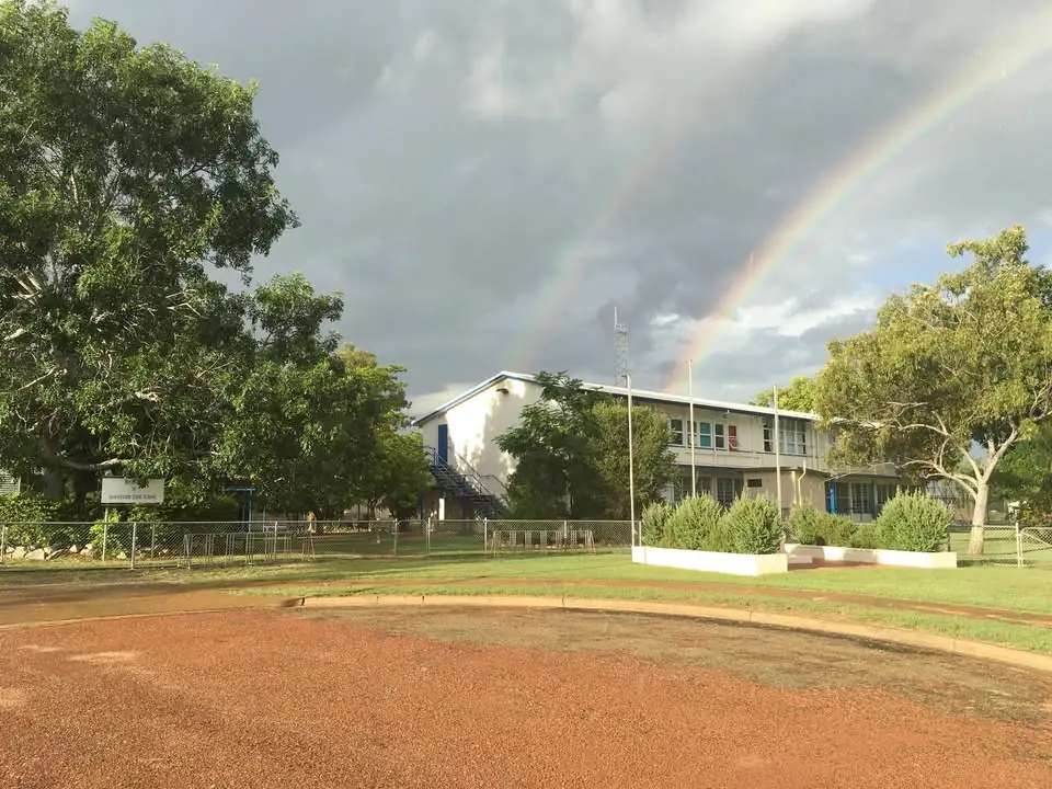
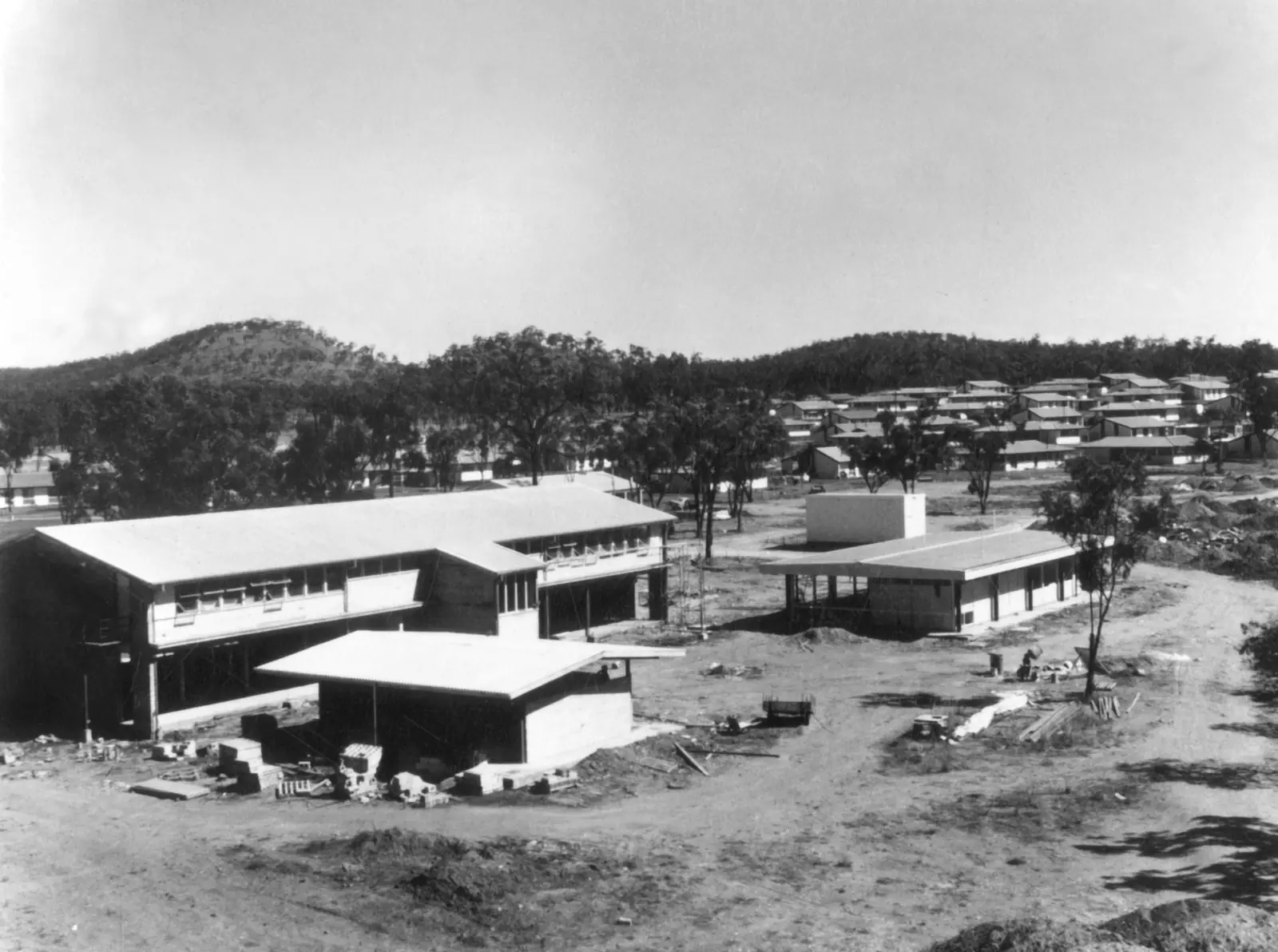
Greenvale State SchoolPhoto: Unknown authorUnknown author · CC BY 4.0 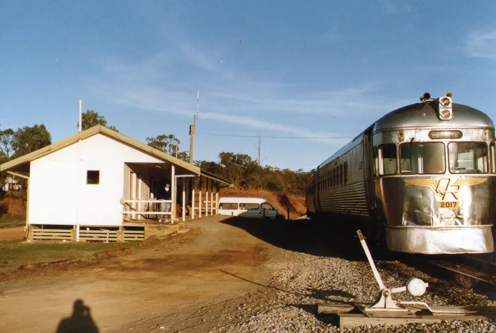
The railmotor at Greenvale stationPhoto: Ellis678 · CC BY-SA 3.0
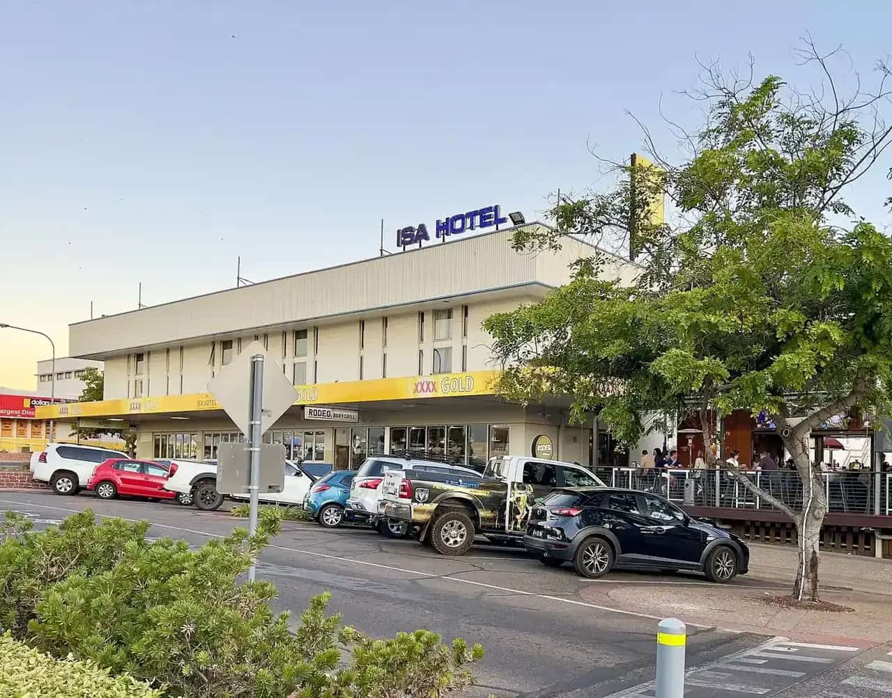
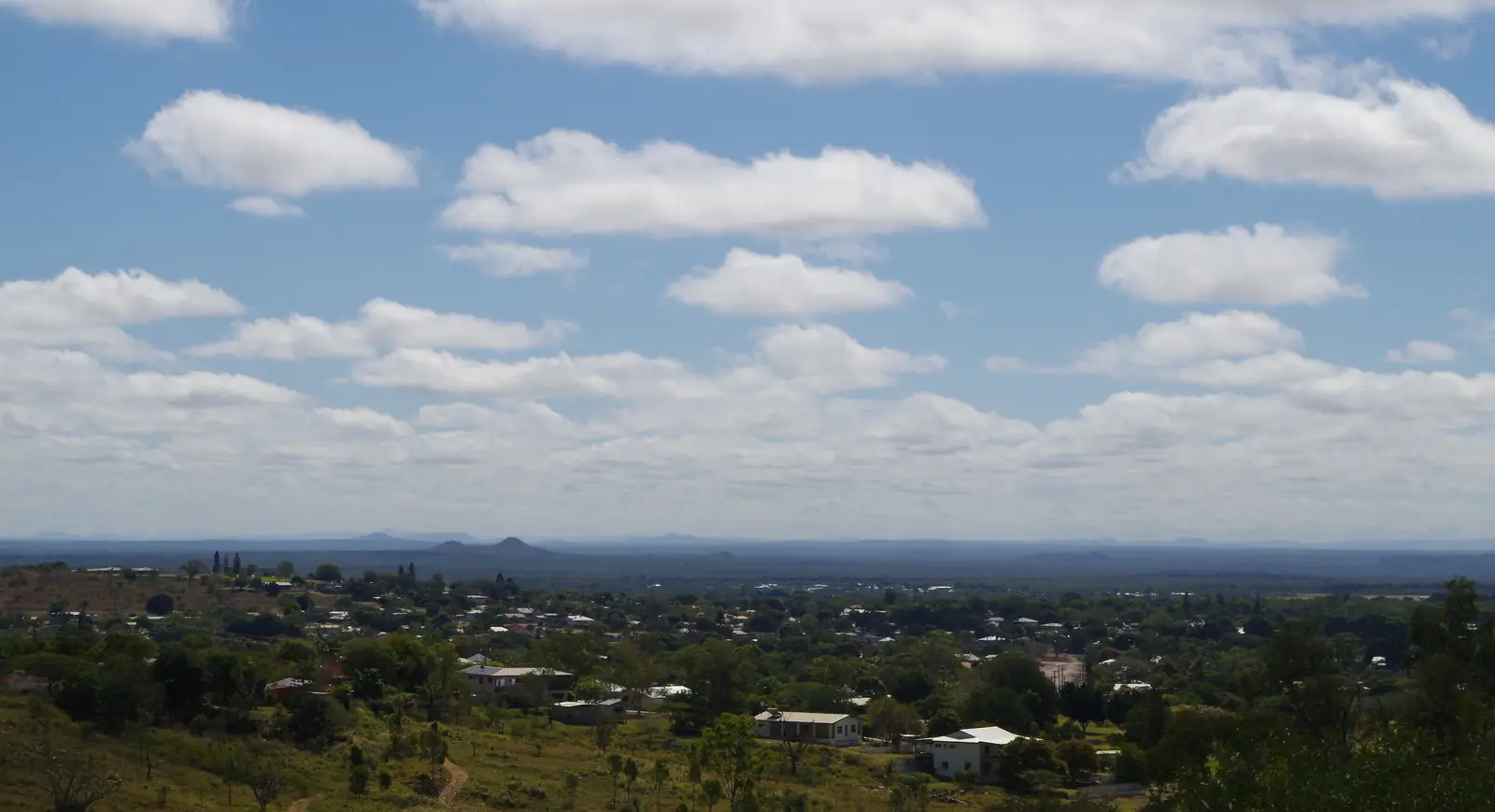
Greenvale sits in inland north Queensland in the Outback North directory, on the Gregory Developmental Road — also called the Lynd Highway on Visit Charters Towers’ town page. That road is the inland approach between Charters Towers and Georgetown, and it is part of the Great Inland Way corridor Visit Charters Towers names from the north or south of the gold city. Visit Charters Towers puts Greenvale 203 km north of Charters Towers. The same organisation’s Greenvale accommodation listing places the town on the banks of the Burdekin River, approximately 250 km north-west of Townsville, via sealed road.
This is a former nickel township, not a gold streetscape. Visit Charters Towers records that the town was built in the 1970s, opened to mine workers in 1973 when the Greenvale Nickel Mine started, and that the mine closed in 1993. The 2021 Census counted 192 people in the Greenvale (Qld) locality. Travellers stop for fuel, a night, and the Three Rivers Hotel named on the official visitor page. You do not need a 4WD to reach Greenvale in ordinary weather on this sealed highway. You do need QLDTraffic in the wet, because summer rain on the upper Burdekin is why this road closes.
Where it is, and how far
Greenvale is in the Charters Towers Region. The visitor pages used for this guide do not publish a kilometre figure from Greenvale to Georgetown or Cairns. Do not invent one. Treat the town as the sealed overnight between the Flinders Highway city of Charters Towers and the Savannah Way / Gulf Developmental Road towns further north-west. If you are coming from the coast, the Visit Charters Towers accommodation listing is the source for the Townsville figure: about 250 km north-west on sealed road. If you are coming from the gold city, use 203 km north on the Gregory Developmental Road.
| Place | Distance from Greenvale (official pages used here) |
|---|---|
| Charters Towers | 203 km south (Visit Charters Towers town page) |
| Townsville | approximately 250 km south-east (Visit Charters Towers accommodation listing) |
| Georgetown | not published on those pages |
| Brisbane | not published on those pages |
Hughenden is on the Flinders Highway west of Charters Towers, not on this Gregory Developmental Road run. Use Charters Towers as the junction if you are joining the Overlander’s Way.
Facts at a glance
Population. Australian Bureau of Statistics 2021 Census, Suburbs and Localities SAL31245, Greenvale (Qld): 192 people. Median age 58. Sex split 53.4% male / 46.6% female. Families 40. Private dwellings 133. Median weekly household income $664. Aboriginal and/or Torres Strait Islander people 25 (13.0% of the locality). There is no UCL QuickStats page for Greenvale in the 2021 products used for this research, so do not hunt for a second “town proper” count. Use the ABS QuickStats page. Visit Charters Towers’ approximate 150 residents is a tourism estimate on that page, not the Census figure.
Climate. Bureau of Meteorology station GREENVALE, 032122, opened 1890, status Open, location 18.98°S, 145.11°E, elevation 427 m. This station’s published climate product used here is the monthly rainfall table, not a temperature climate-averages summary. All-years mean rainfall 633.4 mm. Mean January 149.7 mm; mean August 6.0 mm. Highest annual total in the table 1458.3 mm; lowest 216.6 mm. Full monthly columns: BOM Greenvale monthly rainfall. For a published mean maximum temperature table on the same inland north Queensland highway, the nearest climate-averages page used on this site is Charters Towers Airport (034084), 203 km south — see Greenvale weather. That airport table is not Greenvale’s own means.
Visitor information. No Greenvale desk is listed on the Visit Charters Towers Greenvale page. Start at the Charters Towers Visitor Information Centre, 74 Mosman Street, (07) 4761 5533, Monday–Friday 8:30am–4:00pm, Saturday, Sunday and public holidays 9:00am–12:00pm, email tourinfo@charterstowers.qld.gov.au. Confirm hours before a public holiday.
Traditional Owners
Gugu Badhun people are named for this townsite on a Traditional Owner corporation page. Gugu Badhun Aboriginal Corporation RNTBC records that the Gugu Badhun People #2 native title consent determination was made on 1 August 2012 at Greenvale Community Hall. The same page describes Gugu Badhun lands as the upper Burdekin catchment, about 200 km north-west of Townsville, centred on a region known as the Valley of Lagoons, with native title determined over parts of a claim of about 6,540 km². Visit as a guest; see visiting Country respectfully.
Visit Charters Towers’ Charters Towers history page names Gudjal people for the gold city and lists Gugu Badhun among neighbouring nations. That is Charters Towers wording. This Greenvale guide follows the Gugu Badhun corporation’s Greenvale Community Hall determination rather than flattening Gudjal onto the nickel town.
History
Visit Charters Towers is the source for the mining-town story used here. The township was built in the 1970s to house people working the Greenvale Nickel Mine. It opened to mine workers in 1973. The mine closed in 1993. The visitor page says that before closure the township had a population roughly estimated to be 3,000. That estimate is the visitor organisation’s, not an ABS Census count, and it is not treated as a 2021 figure.
After the mine closed, Greenvale remained on the sealed Gregory Developmental Road as a small service stop. Visit Charters Towers still describes it as a welcome stop between Cairns and Charters Towers. This guide does not invent railway construction dates, smelter locations, or a year-by-year production table. Those details are easy to get wrong if they are not on the sourced council tourism pages.
The Three Rivers Hotel is the heritage story the visitor page actually tells for travellers: it names the hotel as home of the Slim Dusty song of the same name, and it points visitors to the shady area at the rear and a sausage tree in the grounds. We do not quote song lyrics here.
Things to do
Greenvale’s sourced visitor list is short. That is the point of a 192-person highway town. A fuller order of a stop is on things to do in Greenvale.
Three Rivers Hotel. Named on the Visit Charters Towers Greenvale page as the town’s defining stop. The same page mentions a drink and a meal in the shade at the rear, and the sausage tree. Confirm current meal hours when you arrive. This is not a 24-hour highway shelter.
Greenvale Caravan Park / Greenvale Accommodation. Visit Charters Towers names the caravan park on the town page and lists Greenvale Accommodation, 3 Kylee Court, as a cabin and caravan park for workers and travellers. Treat those listings as the official stay pointers, not as a reviewed round-up. See Greenvale accommodation and Greenvale caravan parks.
Fuel before you leave. Visit Charters Towers tells travellers to fill up at the service station just before the entry to the Gregory Developmental Road, whether heading north or south.
Charters Towers, 203 km south, is the heritage day if you want gold-battery tours, the Stock Exchange Arcade and Towers Hill. Those are Charters Towers attractions, not Greenvale ones. Do not squeeze Venus Gold Battery into a Greenvale afternoon.
There is no national park inside Greenvale on the visitor pages used here. White Mountains National Park is interpreted from Charters Towers and Hughenden, not as a Greenvale day trip on the Greenvale page.
Where to stay
Visit Charters Towers names hotel rooms at the Three Rivers Hotel, the Greenvale Caravan Park, and Greenvale Accommodation at 3 Kylee Court (cabins and van sites). Those are categories plus official names, not prices or ratings. Named operators change hands. Confirm with (07) 4761 5533 before you treat an old pin as open.
- How to choose a type of stay: Greenvale accommodation
- Camping and van sites: Greenvale caravan parks
- Charters Towers Visitor Information Centre: 74 Mosman Street, (07) 4761 5533
- Operator enquiries for this site: feature your business
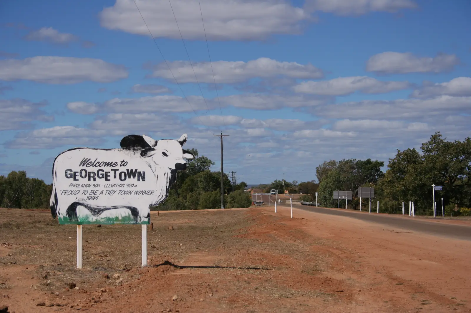
If Greenvale is full, Charters Towers is 203 km south and has a regional-city inventory. That is a distance fact, not a booking guarantee. Georgetown is the next named town on this site to the north-west; kilometres from Greenvale were not on the sourced pages.
Caravan and camping
Vans use Greenvale because the Gregory Developmental Road is sealed and the town is a logical break on the inland run. Visit Charters Towers names a caravan park. Site length, dump points, pets and powered pedestals are not published as a facilities table on that page, so they are not invented here. Ask before you unhitch. Read Greenvale caravan parks and outback camping.
After rain, the constraint is the highway, not the lawn. A pleasant winter overnight can sit behind a closed floodway in a wet January. QLDTraffic first. See wet season and road closures.
Fuel and services
Greenvale is a 192-person locality. Assume fewer opening hours than Charters Towers. Visit Charters Towers’ advice is specific: fill up before you leave, at the service station just before the main road. This guide does not list bowser brands. For current services, start with Charters Towers Regional Council and the visitor centre in Charters Towers.
There is a hospital-level difference between Charters Towers (2021 urban centre 8,040 people) and Greenvale. For anything beyond basic travel needs, use Charters Towers. Carry water if you are camping rather than in a room. Mobile coverage is not mapped on the sourced pages; download maps before you leave the gold city.
Road access
The Gregory Developmental Road / Lynd Highway is the sealed spine through Greenvale, 203 km north of Charters Towers. Visit Charters Towers treats the ordinary approaches used for this run as sealed. It is still a freight and cattle road. After rain on the Burdekin system, check QLDTraffic and 13 19 40. Do not drive around closed signs to keep a hotel booking.
South: Charters Towers, then the Flinders Highway east to Townsville or west to Hughenden and Mount Isa. North-west: the inland route toward Georgetown and the Savannah Way. The Great Inland Way guide covers the longer Sydney–Cairns inland spine that Visit Charters Towers names on the Gregory Developmental Road.
Fatigue, road trains, cattle and kangaroos at dusk are the highway hazards. Plan to arrive before dark. See kangaroos and driving safety.
Nearby parks and towns
Parks: no national park is named as a Greenvale attraction on the Visit Charters Towers Greenvale page. White Mountains National Park is a Charters Towers / Hughenden park on Queensland Parks pages. Do not treat it as a Greenvale picnic stop.
Towns on this site:
- Charters Towers — 203 km south; Venus Gold Battery, Stock Exchange Arcade, Towers Hill
- Georgetown — Etheridge Shire on the Gulf Developmental Road / Savannah Way; TerrEstrial Centre
- Mount Surprise — first Gulf Savannah town from the east; Undara and O’Brien’s Creek
- Croydon — further west on the Savannah Way; Gulflander terminus
- Hughenden — west of Charters Towers on the Flinders Highway, not on the Greenvale road itself
Lynd Junction appears on Etheridge Shire tourism stay pages as a roadhouse stop in that shire, not as a Greenvale suburb.
When to go, and how long
Greenvale’s own BOM product is rainfall. Mean January 149.7 mm and mean August 6.0 mm describe a wet summer and a dry late winter. Highest annual rainfall in the Greenvale table is 1458.3 mm; lowest 216.6 mm — the mean hides flood years and drought years. Temperature means are not on a Greenvale climate-averages table. At Charters Towers Airport, 203 km south, the coolest mean maximum is July 25.1 °C and the hottest is December 34.7 °C. Use that only as a regional comparison, and open BOM before you pack.
April to September is the comfortable travel window on this inland north Queensland pattern: drier roads, more reliable highway access, cooler walking hours. Summer is possible if you have air-conditioning, extra water and a habit of checking QLDTraffic. Do not tent through a 150 mm January mean month unless you already know wet-season camping.
One night is the sourced visitor use: fuel, a meal, sleep, continue. Two nights only if you are waiting out a road closure or using Greenvale as a writing-up stop. A full tourist day list is more than the official Greenvale page supports. If you want museums, drive the 203 km to Charters Towers.
Operators who want a checked listing: feature your business. The listings slot on this hub stays empty until then.
Plan this trip
Tell us the dates, who you are travelling with and where you need help. We reply with planning notes for Greenvale — we are not a booking agent.
Events and road-conditions newsletter
Occasional notes on outback festivals, race days and official road-condition sources — not a daily blast. We use these details only to send the newsletter.
Queensland · Outback North
Things to do in Greenvale
Things to do in Greenvale: Three Rivers Hotel and sausage tree, a sealed Gregory Developmental Road overnight, and why Charters Towers is the heritage day — not an invented attraction list.
Read · 4 min
Queensland · Outback North
Greenvale accommodation
Where to stay in Greenvale: Three Rivers Hotel, Greenvale Caravan Park and Greenvale Accommodation at 3 Kylee Court as named by Visit Charters Towers. No invented hotel round-up.
Read · 4 min
Queensland · Outback North
Greenvale caravan parks
Camping in Greenvale: Greenvale Caravan Park and Greenvale Accommodation at 3 Kylee Court as named by Visit Charters Towers. Confirm powered sites before you unhitch on the Gregory Developmental Road.
Read · 3 min
Queensland · Outback North
Greenvale weather
Greenvale climate from Bureau of Meteorology station 032122: annual mean rainfall 633.4 mm, January 149.7 mm, August 6.0 mm. Temperature means are not on a Greenvale averages table — use BOM, not a guess.
Read · 5 min
Frequently asked questions
How far is Greenvale from Charters Towers?
Visit Charters Towers puts Greenvale 203 km north of Charters Towers along the Gregory Developmental Road, also called the Lynd Highway. The same organisation’s Greenvale accommodation listing describes the town as approximately 250 km north-west of Townsville on a sealed road.
What is Greenvale’s population?
192 people at the 2021 Census for the Greenvale (Qld) suburbs-and-localities geography (SAL31245). Median age 58. There is no Urban Centres and Localities QuickStats page for this town, so the SAL figure is the census count to use.
When did the Greenvale Nickel Mine operate?
Visit Charters Towers says the township was built in the 1970s and opened to mine workers in 1973 when the Greenvale Nickel Mine started, and that the mine closed in 1993.
What is the weather like in Greenvale?
Bureau of Meteorology station Greenvale (032122) is a rainfall station at 18.98°S, 145.11°E, elevation 427 m. The all-years monthly rainfall table gives an annual mean of 633.4 mm, wettest in January (149.7 mm) and driest in August (6.0 mm). BOM does not publish a temperature climate-averages table for this station.
Whose Country is Greenvale on?
Gugu Badhun Aboriginal Corporation RNTBC records that the Gugu Badhun People #2 native title consent determination was made on 1 August 2012 at Greenvale Community Hall. The corporation describes Gugu Badhun lands as the upper Burdekin catchment, about 200 km north-west of Townsville.
Where is the visitor centre for Greenvale?
Greenvale does not have its own visitor information centre on the Visit Charters Towers pages used here. Use the Charters Towers Visitor Information Centre at 74 Mosman Street, phone (07) 4761 5533, Monday–Friday 8:30am–4:00pm and Saturday–Sunday 9:00am–12:00pm.
Sources and further reading
Facts on this page were checked against these primary and official sources. Conditions change — confirm before you travel or buy.
- Greenvale (Qld) 2021 Census QuickStats (SAL31245) — Australian Bureau of Statistics
- Monthly rainfall — Greenvale (032122) — Bureau of Meteorology
- Climate statistics for Charters Towers Airport (034084) — Bureau of Meteorology
- Visit Charters Towers — Greenvale — Visit Charters Towers
- Visit Charters Towers — Greenvale Accommodation — Visit Charters Towers
- Gugu Badhun — Our Country — Gugu Badhun Aboriginal Corporation RNTBC
- Charters Towers Visitor Information Centre — Charters Towers Regional Council
- QLDTraffic — Queensland Government