At a glance
Sourced facts only. Distances and services change — confirm before you travel.
- Local government
- Etheridge Shire
- Traditional Owners
- Ewamian Country (as this hub already names it). Confirm wording locally.
- Mobile coverage
- Check Telstra and Optus coverage maps before travel; do not assume a signal.
- Best time to visit
- May–September on Mount Surprise Township cooler mean maxima; Savannah Way wet-season closures apply
Climate
Monthly means from the Bureau of Meteorology station Mount Surprise Township (030036). This is not a forecast. Open. Commenced 1873. Elevation 462 m.
| Month | Mean max (°C) | Mean min (°C) | Rainfall (mm) |
|---|---|---|---|
| Jan | 33.1 | 20.9 | 212.0 |
| Feb | 32.3 | 20.9 | 206.2 |
| Mar | 31.7 | 19.4 | 114.6 |
| Apr | 30.7 | 16.7 | 27.7 |
| May | 28.5 | 13.4 | 14.4 |
| Jun | 26.6 | 10.5 | 13.6 |
| Jul | 26.5 | 9.6 | 7.5 |
| Aug | 28.5 | 10.6 | 4.4 |
| Sep | 31.2 | 13.9 | 5.4 |
| Oct | 34.2 | 17.2 | 17.7 |
| Nov | 35.1 | 19.7 | 53.7 |
| Dec | 34.7 | 20.6 | 118.3 |
Mount Surprise, Queensland in pictures
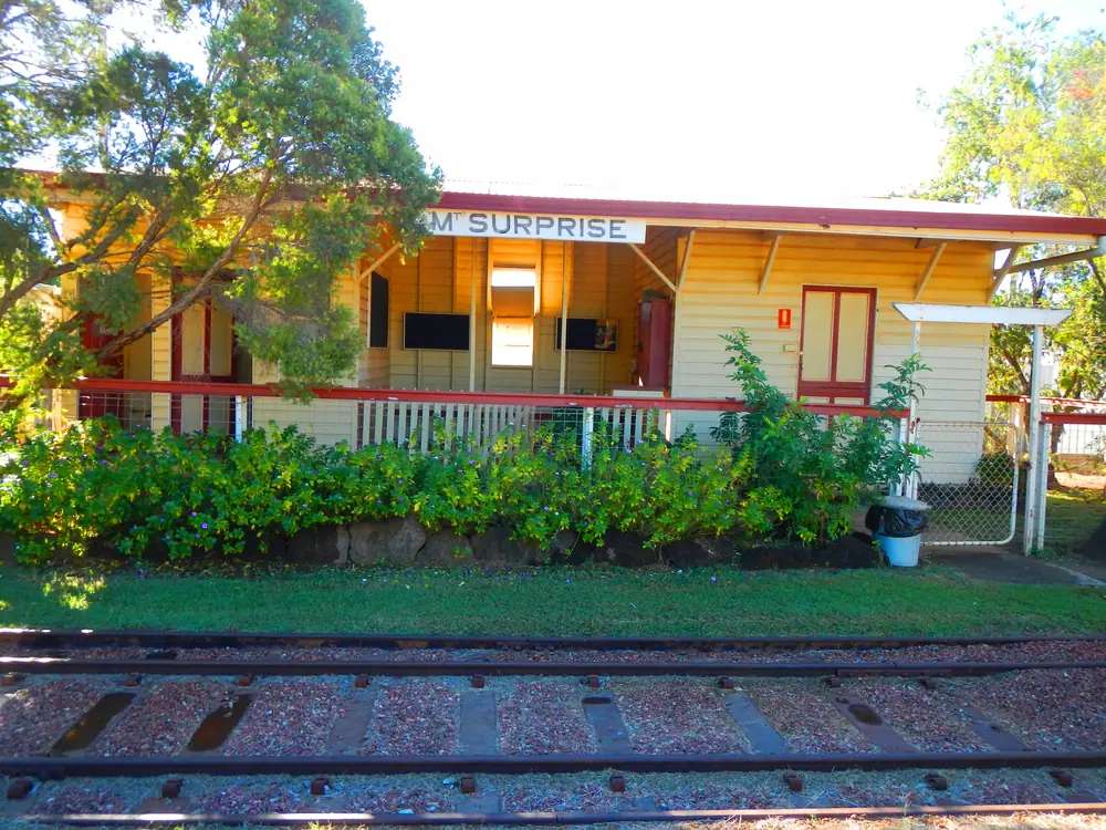
Mount Surprise Railway StationPhoto: Lobster1 · CC BY-SA 3.0 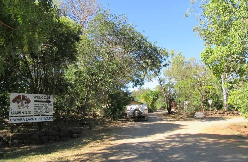
Bedrock Village Caravan Park in Mount SurprisePhoto: Eureca · CC BY-SA 4.0 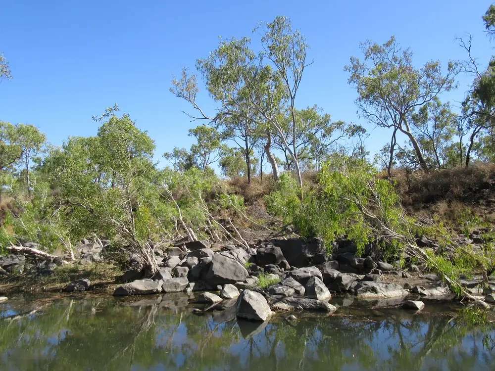
Elizabeth Creek in Mount SurprisePhoto: Eureca · CC BY-SA 4.0 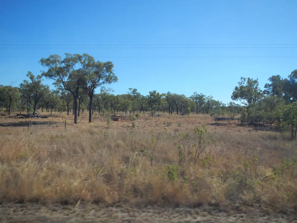
Approaching Mount SurprisePhoto: Lobster1 · CC BY-SA 3.0
Mount Surprise, Queensland — Etheridge Shire, not a New South Wales result — sits on Ewamian Country on the Gulf Developmental Road, the Queensland section of the Savannah Way. Unearth Etheridge calls it the first Gulf Savannah town visitors reach from the east. Etheridge’s Gems and Gorges map puts it 55 km (about 30 minutes) from Undara Volcanic National Park and 92 km (about one hour) from Georgetown. Queensland Parks puts Undara about 300 km south-west of Cairns or 420 km north-west of Townsville, just off the Savannah Way near this town.
This is sealed Savannah Way country in ordinary weather. You still need QLDTraffic in the wet, because a 92 km run to Georgetown is no use if the highway is closed. Travellers stop for lava-tube tours, a Queensland fossicking licence for O’Brien’s Creek, railway-town signage, and a night before Croydon or the inland Gregory Developmental Road via Greenvale.
The Australian Bureau of Statistics does not publish a 2021 Urban Centre (UCL) named Mount Surprise. Use suburbs-and-localities SAL32026: 138 people, median age 48, sex split 46.7% male / 53.3% female.
Where it is, and how far
Mount Surprise is the Savannah Way town between the Tablelands approaches (Mount Garnet / Forty Mile Scrub) and Georgetown. The Gems and Gorges map is the kilometre source used here. Queensland Government fossicking notes add O’Briens Creek 37 km north-west of town, then 1.5 km after Elizabeth Creek to the fossicking-area entrance.
This page does not invent a Mount Surprise–Cairns kilometre the Etheridge town page does not publish. Use Parks’ Undara-from-Cairns figure and the map’s Undara–Mount Surprise figure, then QLDTraffic for the day you drive.
| Place | Distance from Mount Surprise (official wording) |
|---|---|
| Undara | 55 km / about 30 minutes (Etheridge Gems and Gorges map) |
| Georgetown | 92 km / about one hour (same map) |
| O’Briens Creek fossicking area | 37 km north-west, then 1.5 km after Elizabeth Creek (Queensland Government) |
| Cairns (to Undara) | about 300 km south-west of Cairns (Queensland Parks Undara page) |
| Townsville (to Undara) | about 420 km north-west of Townsville (same Parks page) |
| Greenvale | not published as a Mount Surprise kilometre on the pages used here |
Talaroo Hot Springs sits between Mount Surprise and Georgetown on Ewamian’s own site: turn-off about 5 km east of the Einasleigh River on the Savannah Way, then about 10 km unsealed. This hub does not invent a town-to-springs kilometre that page does not print.
Facts at a glance
Population. ABS 2021 Census, Suburbs and Localities SAL32026: 138 people. Median age 48. 35 families, 267 private dwellings. Median weekly household income $875. No UCL. Use the Mount Surprise SAL QuickStats.
Climate. Bureau of Meteorology station MOUNT SURPRISE TOWNSHIP, 030036, commenced 1873, location 18.15°S, 144.32°E, elevation 462 m, status Open. Mean maximum temperature (64 years, 1913–1978): November 35.1 °C hottest month by mean max, July 26.5 °C coolest, annual 31.1 °C. Mean minimum: January and February 20.9 °C, July 9.6 °C, annual 16.1 °C. Mean rainfall (133 years, 1873–2026): annual 791.3 mm; January 212.0 mm wettest mean month; August 4.4 mm driest. Temperature means on this table do not update after 1978. Full columns: BOM Mount Surprise Township. See Mount Surprise weather.
Visitor information. There is no separate Mount Surprise VIC on the Unearth Etheridge town page. Use the TerrEstrial Centre, 20 Low Street, Georgetown, (07) 4079 9092 — Etheridge’s accredited visitor information centre. Unearth Etheridge’s Mount Surprise page prints the same Georgetown contact block.
Traditional Owners
Ewamian people are named for Mount Surprise on a Traditional Owner corporation page. Ewamian People Aboriginal Corporation states that the Ewamian People are the Traditional Owners of an area of north-western Queensland extending over the Gilbert and Einasleigh River catchments, including Georgetown, Mount Surprise, Forsayth and Einasleigh. Ewamian Country includes Undara Volcanic National Park, Cobbold Gorge and Talaroo Hot Springs. The Savannah Way travels across Ewamian Country. The corporation records native title determined over more than 2.9 million hectares. Queensland Parks’ Undara welcome names traditional country of the Ewamian (pronounced You-a-min) Aboriginal people. Visit as a guest; see visiting Country respectfully.
History
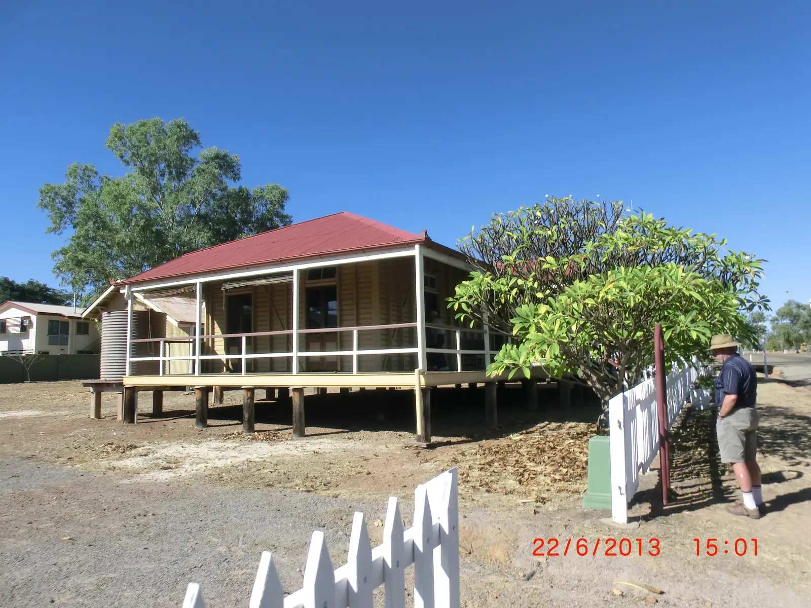
Unearth Etheridge’s Mt Surprise page is the town-origin source used here. Ezra Firth took up Mount Surprise sheep run in 1861 and converted to cattle after selling sheep on the Palmer River Goldfield in 1873. When the Etheridge Railway was built from Almaden to Forsayth in 1910, the Queensland Government resumed a section of the property for Mount Surprise Township. In the same year the Junction Creek telegraph office, built in 1871, was moved to the town.
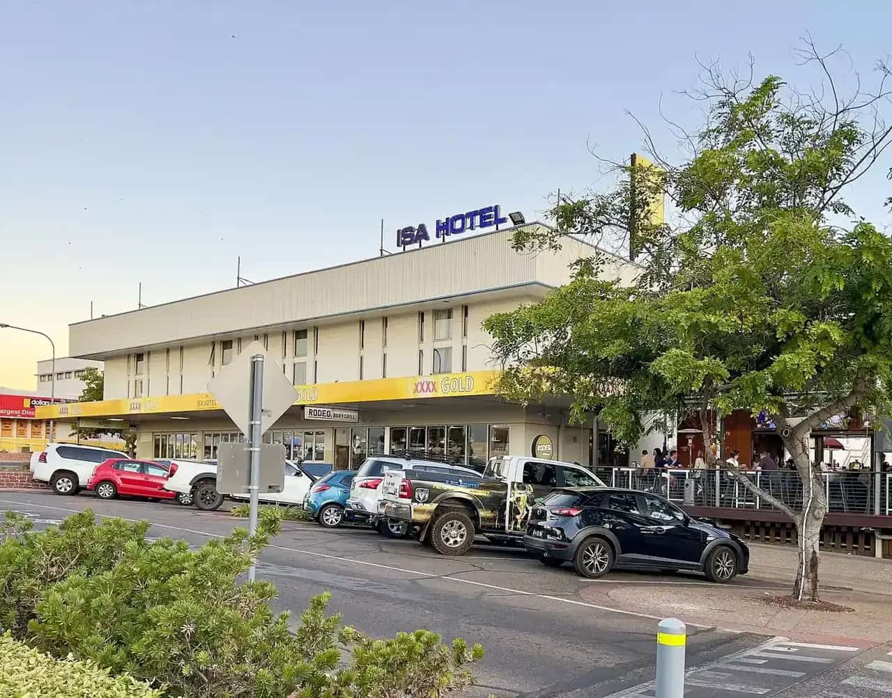
The town developed as a cattle-trucking and telegraph centre for the western Tablelands. Railway traffic from mining and cattle declined in the 1930s. Reconditioning of the railway in 1951 and construction of the Gulf Development Road in the 1960s revitalised Mount Surprise as a livestock trucking centre and, later, a tourist stop. The Mount Surprise Hotel was one of two erected opposite the railway station about 1910.
The Gems and Gorges map notes Mount Surprise as an overnight stop for the Savannahlander. Treat current timetables as an operator question: savannahlander.com.au lists Mt Surprise among overnight stops. This hub does not invent a 2026 departure time.
Things to do
Undara lava tubes are the named geological draw. Unearth Etheridge: ancient eruptions on the McBride Plateau; tours run daily. Queensland Parks: the park holds remains of one of the earth’s longest lava flows from a single volcano; access to the lava tubes is by guided tour only. Parks’ visiting-safely page names bookings through Discovery Resorts—Undara, Discovery Parks—Mount Surprise or Undara Lava Tube Tours, and says concealed collapses and high carbon dioxide in some tubes make unguided entry dangerous. Kalkani Crater rim is accessible without a tour. Camping is not permitted in the national park. This page does not sell tours or print ticket prices. Start at parks.qld.gov.au/parks/undara-volcanic.
O’Briens Creek fossicking area is 37 km north-west of town on the Queensland Government page, established in 1995 on Unearth Etheridge’s town page (Department of Mines and Energy, landholder and Etheridge Shire Council). It is a topaz field, with aquamarine, rock crystal, citrine, smoky quartz and cassiterite also named. A fossicking licence is required. Hand tools and dry sieving. Camping is not permitted in the fossicking area. Named interest areas on the government page include O’Briens Creek, Tourmaline Gully, Crystal Gully, Swampy Gully, Six Mile Creek, McDonald Creek and Lancewood Creek. Stay off mining claims, leases and residence areas along Elizabeth Creek. Read fossicking and gem fields. This guide does not invent yields.
In town, Unearth Etheridge names: historic-building signage and the railway shed photographs; Elizabeth Creek at dawn or dusk for a chance of Rufous Bettong; birdwatching among 130 resident species listed on that page; and an annual campdraft on the Sports Reserve on the June long weekend. Confirm the current year’s date at the TerrEstrial rather than treating a tourism sentence as a 2026 program.
Talaroo Hot Springs is Ewamian-owned, between Mount Surprise and Georgetown. Start from talaroo.com.au. Hours and bathing rules belong to that operator.
See things to do in Mount Surprise.
Where to stay
Unearth Etheridge’s accommodation directory names, under Mt Surprise:
- Discovery Parks — Mount Surprise — accommodation; lava-tube tours listed on that page
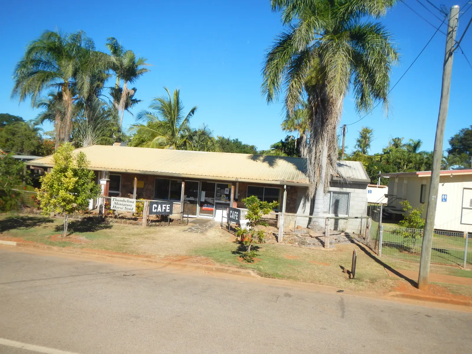
- Mt Surprise Tourist Park & Motel — accommodation, camping, miniature horse stud
- Talaroo Hot Springs — tours and camping
- Undara Experience — tours, accommodation, bar and meals (adjacent to the national park, not in the township)
The Queensland Government fossicking page names O’Brien’s Creek Campground on Mount Surprise Station, adjacent to Elizabeth Creek, as the nearby camp when the fossicking area itself is closed to camping. The Gems and Gorges map adds two caravan parks, a hotel and a camp ground as town types, plus a blackwater dump site at the roadside toilet block.
Those are official named types, not a ranked inventory. Confirm at (07) 4079 9092.
- How to choose: Mount Surprise accommodation
- Camping detail: Mount Surprise caravan parks
- Operator enquiries: feature your business
If Mount Surprise is full, Georgetown is 92 km west and Undara-area stays sit next to the park. That is a distance fact, not a booking guarantee.
Caravan and camping
Vans use Mount Surprise because the Gulf Developmental Road is sealed and Etheridge names parks, a hotel and O’Brien’s Creek camping. Official named camps are the town parks, hotel/motel rooms, O’Brien’s Creek Campground (not the fossicking area), Talaroo camping, and Undara Experience. There is no camping in Undara Volcanic National Park. Ask the TerrEstrial for stay limits and whether the roadside dump point is still offered. Read Mount Surprise caravan parks and outback camping.
After rain, black soil on the O’Brien’s Creek road and floodways on the Savannah Way are the constraint. QLDTraffic first.
Fuel and services
A locality of 138 people will not match Georgetown for a clinic, butcher or shire desk. This guide does not list bowser brands. Unearth Etheridge’s town page names a hotel, tourist park and caravan parks as visitor-facing services; confirm what is open when you arrive. Fill up before a wet-season run to O’Brien’s Creek or a late arrival at Undara. For current questions, use the TerrEstrial (07) 4079 9092 and QLDTraffic.
Road access
The Gulf Developmental Road / Savannah Way is the sealed spine through Mount Surprise. Queensland Parks’ Undara access note: from the Tablelands, continue toward Mount Surprise, passing Forty Mile Scrub; the Undara turn-off is 17 km along the Gulf Developmental Road, then 6 km to a fork (Discovery Resort—Undara 9 km right; Kalkani day-use 6 km left on gravel). All those park roads are described as suitable for conventional vehicles, though corrugated.
From the south, Parks’ Townsville approach uses the Gregory Developmental Road through Greenvale to the Lynd Junction, then the Kennedy Highway toward Mount Garnet and left onto the Gulf Developmental Road.
The gravel Mount Surprise Station road to O’Briens Creek “may become impassable in wet weather”; care on black soil; creeks flood in the wet. Check local conditions. Do not drive around closed signs to keep a fossicking day.
Check QLDTraffic and 13 19 40. See wet season and road closures. The Savannah Way guide covers the longer Cairns–Broome story.
Nearby parks and towns
Parks and named nature sites:
- Undara Volcanic National Park — lava tubes by guided tour; Kalkani Crater self-guided
- O’Briens Creek fossicking area (Queensland Government)
- Talaroo Hot Springs (Ewamian)
- Cobbold Gorge — guided sandstone gorge south of Forsayth, not a Mount Surprise afternoon
Towns on this site:
- Georgetown — 92 km; TerrEstrial Centre, Etheridge gold heritage
- Croydon — further west on the Savannah Way; Gulflander terminus
- Greenvale — Gregory Developmental Road nickel-town overnight toward Charters Towers
Forsayth and Einasleigh appear on Etheridge pages but do not have town guides here.
When to go, and how long
November’s mean maximum of 35.1 °C on the closed-era temperature table is hot for a midday railway-shed walk. July’s 26.5 °C mean maximum is still warm; July’s 9.6 °C mean minimum is why a creek camp needs a layer. Annual rainfall 791.3 mm is a wet-summer, dry-winter pattern: January 212.0 mm, August 4.4 mm. The TerrEstrial in Georgetown runs seven days in April–September and weekdays only in October–March on its own hours page.
One night is enough if you only photograph the railway precinct and sleep. Two nights lets you take a booked lava-tube tour and still have a cooler hour on Elizabeth Creek. Three nights only if you add licensed O’Brien’s Creek fossicking, Talaroo, or a Savannahlander connection that QLDTraffic still supports.
Operators who want a checked listing: feature your business. The listings slot on this hub stays empty until then.
Plan this trip
Tell us the dates, who you are travelling with and where you need help. We reply with planning notes for Mount Surprise, Queensland — we are not a booking agent.
Events and road-conditions newsletter
Occasional notes on outback festivals, race days and official road-condition sources — not a daily blast. We use these details only to send the newsletter.
Queensland · Outback North
Mount Surprise, Queensland accommodation
Where to stay in Mount Surprise, Queensland: caravan parks, hotel and motel rooms named by Unearth Etheridge, plus Undara Experience and O’Brien’s Creek camping. Confirm at the TerrEstrial Centre, Georgetown.
Read · 4 min
Queensland · Outback North
Mount Surprise, Queensland caravan parks
Camping in Mount Surprise, Queensland: town parks named by Unearth Etheridge, O’Brien’s Creek Campground rules, no camping on the fossicking area or in Undara National Park. Confirm at the TerrEstrial.
Read · 4 min
Queensland · Outback North
Mount Surprise, Queensland weather
Mount Surprise climate from BOM Mount Surprise Township (030036): November mean max 35.1 °C, July 26.5 °C, annual rainfall 791.3 mm. Temperature means 1913–1978; rainfall still open. QLDTraffic for the week you drive.
Read · 4 min
Queensland · Outback North
Things to do in Mount Surprise, Queensland
Things to do in Mount Surprise, Queensland: guided Undara lava-tube tours, licensed O’Brien’s Creek topaz fossicking, railway-town signage, Rufous Bettong at Elizabeth Creek and Ewamian Talaroo Hot Springs.
Read · 4 min
Frequently asked questions
Is this Mount Surprise in Queensland or New South Wales?
This guide is Mount Surprise, Queensland, in Etheridge Shire on the Gulf Developmental Road / Savannah Way. Search Mount Surprise Qld or Etheridge if a search engine offers a New South Wales result first.
How far is Mount Surprise from Georgetown and Undara?
Etheridge Shire’s Gems and Gorges map puts Georgetown 92 km (about one hour) from Mount Surprise, and Mount Surprise 55 km (about 30 minutes) from Undara. Queensland Parks puts Undara Volcanic National Park about 300 km south-west of Cairns or 420 km north-west of Townsville.
What is Mount Surprise’s population?
138 people at the 2021 Census for Mount Surprise suburbs-and-localities (SAL32026). Median age 48. The ABS does not publish a 2021 Urban Centre (UCL) named Mount Surprise.
Do I need a licence to fossick at O’Brien’s Creek?
Yes. The Queensland Government requires a fossicking licence on designated fossicking areas, including O’Briens Creek near Mount Surprise. Camping is not permitted in the fossicking area. Hand tools only. Stay off mining claims and leases without the holder’s permission.
What is the weather like in Mount Surprise?
BOM Mount Surprise Township (030036) monthly means: November mean maximum 35.1 °C, July 26.5 °C, annual rainfall 791.3 mm. Temperature means use 1913–1978; rainfall continues on an open station. Check QLDTraffic in the wet.
Can I walk into the Undara lava tubes on my own?
No. Queensland Parks says access to the lava tubes is by guided tour only. Kalkani Crater rim is the self-guided walk. Camping is not permitted in Undara Volcanic National Park.
Sources and further reading
Facts on this page were checked against these primary and official sources. Conditions change — confirm before you travel or buy.
- Mount Surprise 2021 Census QuickStats (SAL32026) — Australian Bureau of Statistics
- Climate statistics for Mount Surprise Township (030036) — Bureau of Meteorology
- Unearth Etheridge — Mt Surprise — Etheridge Shire Council
- Unearth Etheridge — Accommodation — Etheridge Shire Council
- Lava Tubes, Gems and Gorges Trail map — Etheridge Shire Council
- O'Briens Creek fossicking area — Queensland Government
- Purchase a fossicking licence or camping permit — Queensland Government
- Unearth Etheridge — Gem Fossicking — Etheridge Shire Council
- Undara Volcanic National Park — Queensland Parks and Wildlife Service
- Visiting safely — Undara Volcanic National Park — Queensland Parks and Wildlife Service
- Ewamian People Aboriginal Corporation — About — Ewamian People Aboriginal Corporation
- Talaroo Hot Springs — About — Ewamian People Aboriginal Corporation
- Savannahlander — Cairns Kuranda Steam
- QLDTraffic — Queensland Government