At a glance
Sourced facts only. Distances and services change — confirm before you travel.
- Population
- 222 people (UCL322048, 2021 Census)Also 254 people at SAL31111 (SAL). Do not mix UCL and SAL in one headcount.
- Local government
- Etheridge Shire
- Traditional Owners
- Ewamian — Unearth Etheridge / this hub’s sourced Country FAQ
- Nearest regional city
- Cairns 412 km west-to-east and Normanton 301 km (Unearth Etheridge) on the Gulf Developmental Road
- Nearest fuel
- Confirm in the service town named under nearest regional city; this guide does not list bowser brands.
- Nearest hospital or clinic
- Confirm with Queensland Health — do not invent a clinic name.
- Mobile coverage
- Check Telstra and Optus coverage maps before travel; do not assume a signal on floodways, parks or unsealed approaches.
- Best time to visit
- Dry season about May–September (Queensland Parks wet-season roads December–March on far-north/Gulf pages). Georgetown Airport (030124) January mean maximum 33.9 °C, July 28.8 °C. QLDTraffic in the wet.
Climate
Monthly means from the Bureau of Meteorology station Georgetown Airport (030124). This is not a forecast. Commenced 2004. Elevation 302 m. Status: Open. Annual mean rainfall 843.4 mm. Georgetown Airport is the table used on the Georgetown weather page. Georgetown Post Office (030018) is a separate open table — do not blend.
| Month | Mean max (°C) | Mean min (°C) | Rainfall (mm) |
|---|---|---|---|
| Jan | 33.9 | 23.4 | 257.4 |
| Feb | 33.3 | 22.9 | 214.4 |
| Mar | 33.5 | 22.0 | 137.1 |
| Apr | 32.9 | 19.5 | 23.1 |
| May | 30.5 | 16.6 | 12.8 |
| Jun | 28.9 | 14.0 | 7.7 |
| Jul | 28.8 | 13.2 | 10.2 |
| Aug | 30.5 | 13.7 | 1.4 |
| Sep | 33.7 | 17.0 | 5.7 |
| Oct | 36.3 | 20.6 | 14.0 |
| Nov | 36.9 | 22.9 | 77.6 |
| Dec | 36.3 | 23.7 | 143.2 |
Georgetown in pictures
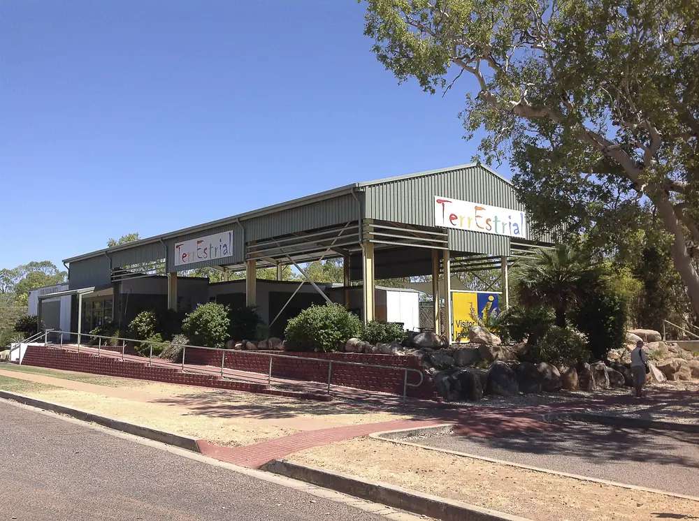
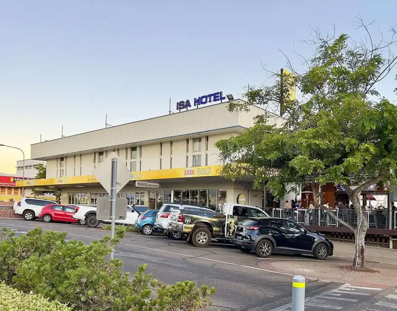
Georgetown Terrestrial Information CentrePhoto: JennyMacKay · CC BY-SA 4.0 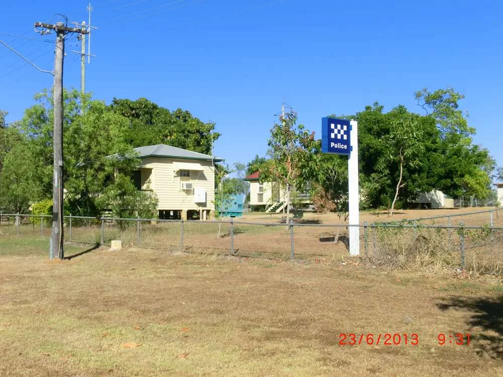
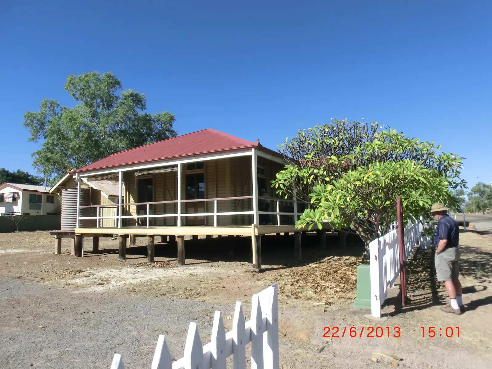
Georgetown Police StationPhoto: Lobster1 · CC BY-SA 3.0 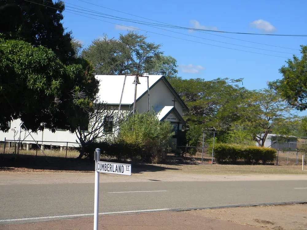
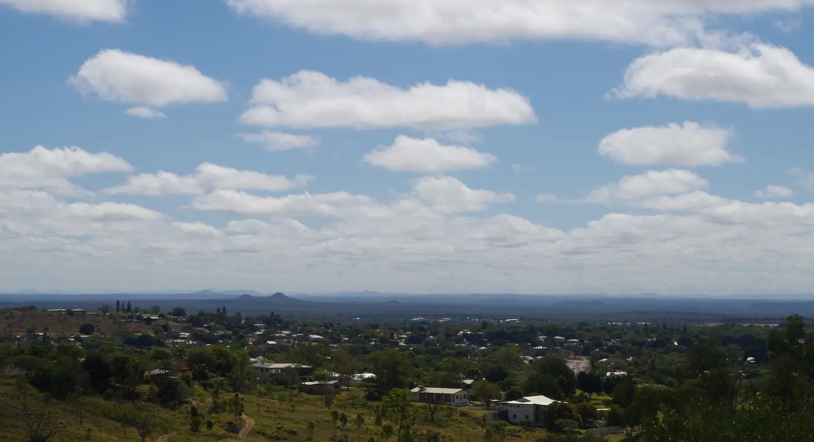
Georgetown Anglican ChurchPhoto: Lobster1 · CC BY-SA 3.0 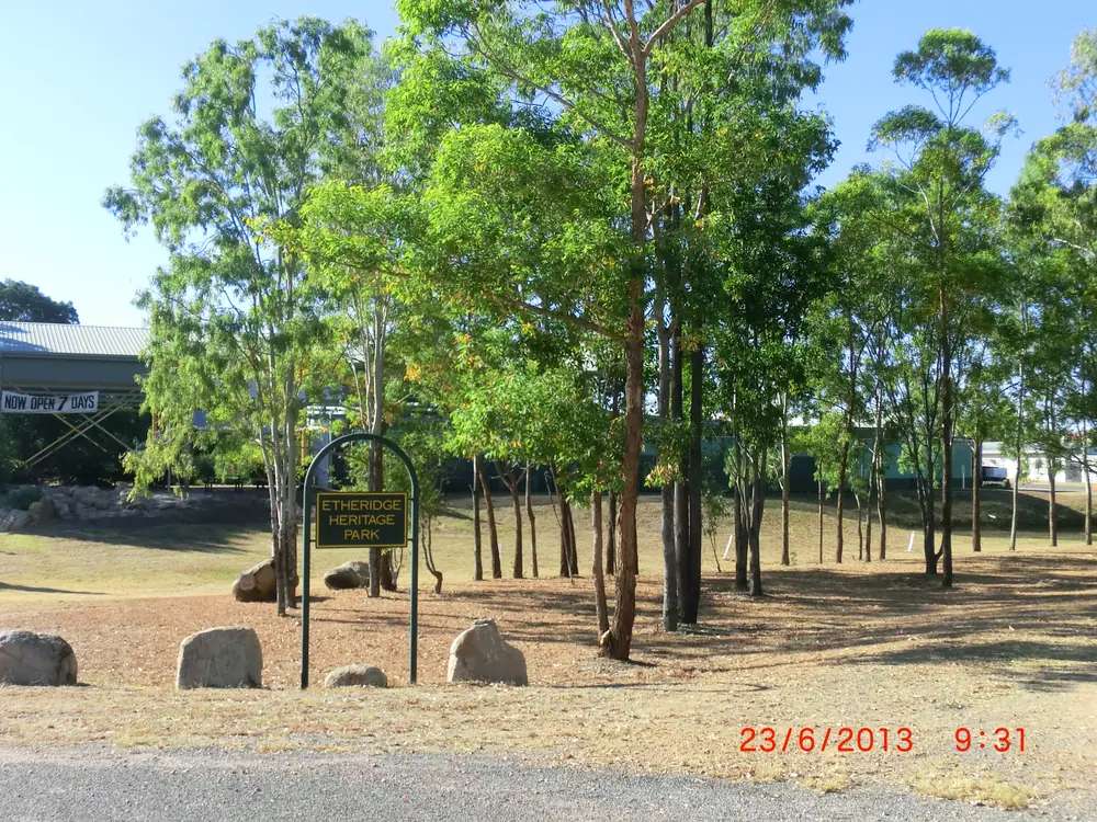
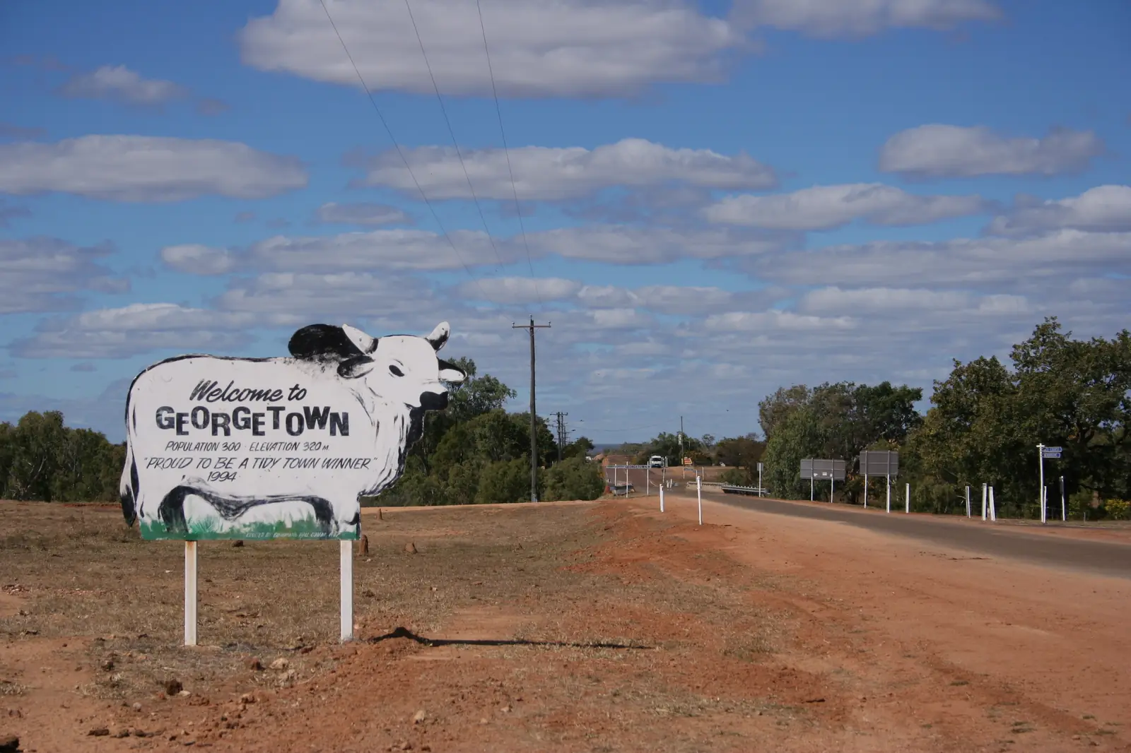
Etheridge Heritage Park GeorgetownPhoto: Lobster1 · CC BY-SA 3.0
Georgetown sits on the Etheridge River in Far North Queensland, on Ewamian Country, in the Outback North directory. Unearth Etheridge — Etheridge Shire Council’s tourism site — puts it on the Gulf Developmental Road, 412 km west of Cairns and 301 km east of Normanton. That road is the Queensland section of the Savannah Way. Georgetown is the administrative headquarters of the Shire of Etheridge, which the same page says encompasses Mount Surprise, Forsayth and Einasleigh.
The 2021 Census counted 222 people in the urban centre. Travellers stop for the TerrEstrial Centre at 20 Low Street, goldfield streetscape, and a sealed overnight between the Tablelands approaches and Croydon. You do not need a 4WD to reach Georgetown in ordinary weather on the Gulf Developmental Road. You do need QLDTraffic in the wet, because a 301 km run to Normanton is no use if the highway is closed.
Where it is, and how far
Georgetown is the Savannah Way town between Mount Surprise and Croydon. Etheridge’s Gems and Gorges map (hosted on the shire tourism site) puts Georgetown 92 km (about one hour) from Mount Surprise, and Forsayth 45 km (about one hour) from Georgetown. Queensland Parks puts Undara Volcanic National Park about 300 km south-west of Cairns or 420 km north-west of Townsville, just off the Savannah Way near Mount Surprise. The same Etheridge map puts Mount Surprise 55 km (about 30 minutes) from Undara.
From the south, the inland approach is the Gregory Developmental Road through Charters Towers and Greenvale. Visit Charters Towers publishes Greenvale kilometres; it does not publish Greenvale–Georgetown kilometres on the pages used for this guide. Do not invent that figure.
| Place | Distance from Georgetown (Etheridge / Parks pages) |
|---|---|
| Cairns | 412 km east (Unearth Etheridge) |
| Normanton | 301 km west (Unearth Etheridge) |
| Mount Surprise | 92 km (Etheridge Gems and Gorges map) |
| Forsayth | 45 km (same map) |
| Undara (from Mount Surprise) | 55 km (same map) |
| Croydon | not published as a Georgetown kilometre on those pages; Croydon’s own guide places Croydon about 150 km east of Normanton on the same sealed road |
Brisbane kilometres are not on the Etheridge pages used here.
Facts at a glance
Population. Australian Bureau of Statistics 2021 Census, Urban Centres and Localities UCL322048, Georgetown (L): 222 people. Median age 38. Sex split 55.5% male / 44.5% female. Families 46. Private dwellings 149. Median weekly household income $1,386. Use the ABS UCL QuickStats page. The suburbs-and-localities geography (SAL31111) counted 254 people, median age 39; Unearth Etheridge’s town page quotes that 254 locality figure. Do not mix the two.
Climate. Bureau of Meteorology station GEORGETOWN AIRPORT, 030124, commenced 2004, 18.30°S, 143.53°E, elevation 302 m, status Open. Annual mean rainfall 843.4 mm (16 years in the rainfall row on the summary table fetched for this guide). Hottest month by mean maximum: November 36.9 °C. Coolest month by mean maximum: July 28.8 °C. January mean rainfall 257.4 mm; August 1.4 mm. Full table: BOM Georgetown Airport.
The longer GEORGETOWN POST OFFICE record (030018, commenced 1872, elevation 292 m) has annual mean rainfall 819.8 mm (134 years, 1872–2009 on the summary table), November mean maximum 36.7 °C, June and July mean maximum 28.2 °C. Latest available data on that page was 31 July 2009. Use the airport for current means and the post office for the long rainfall story. See Georgetown weather.
Visitor centre. TerrEstrial Centre, 20 Low Street, phone (07) 4079 9092, email terrestrial@etheridge.qld.gov.au. Accredited visitor information, council library, Unearth Etheridge exhibit. April–September: seven days 8:30am–4:00pm. October–March: Monday–Friday 8:30am–4:00pm; Saturday–Sunday closed. Closed on listed public holidays on that page (including New Year’s Day, Australia Day, Etheridge Show Holiday, Christmas Day and Boxing Day in the 2026 list). Confirm before you arrive.
Traditional Owners
Ewamian people are named for Georgetown on a Traditional Owner corporation page. Ewamian People Aboriginal Corporation states that the Ewamian People are the Traditional Owners of an area of north-western Queensland extending over the Gilbert and Einasleigh River catchments, including Georgetown, Mount Surprise, Forsayth and Einasleigh. Ewamian Country includes Undara Volcanic National Park, Cobbold Gorge and Talaroo Hot Springs. The Savannah Way travels across Ewamian Country. The corporation records native title determined over more than 2.9 million hectares. Visit as a guest; see visiting Country respectfully.
This guide does not flatten neighbouring nations onto the townsite. For the inland approach through Greenvale, see Gugu Badhun wording on the Greenvale hub.
History
Unearth Etheridge’s Georgetown page is the source for the town-origin story used here. The Etheridge River was the site of a gold rush in the 1870s; the town was established on the diggings. It was originally known as Etheridge. The name changed in 1871 to honour an early gold commissioner, Howard St George. By 1900, the same page says, grazing had replaced gold mining as the region’s primary source of income. The shire retains the earlier name.
Ewamian People’s own history page records the Gilbert River Gold Field declared in 1867, conflict around Gilberton, and later pastoral employment on Country. That is Traditional Owner wording, not a visitor-centre caption. Read it on ewamian.com.au rather than as a simplified gold-rush cartoon.
Heritage buildings named on the Georgetown tourism page include the restored Shire Hall in St George Street (built 1908, restored 1998), Savannah House (the restored former clerk of the courts dwelling in the same street), the Masonic Temple, the Catholic Church (established 1913), the cemetery, and the Antbed House (built 1889, heritage-listed, restoration noted as in process on that page). Cumberland Chimney, 20 km west, is described as all that stands of a gold crushing plant.
This guide does not invent a hotel list from 1872 or a production-ounce table. It stops where Etheridge tourism and Ewamian stop.
Things to do
Start at the TerrEstrial Centre, 20 Low Street. Staff provide road conditions, camping advice, maps and booking help, with free Wi-Fi on the official page. The Unearth Etheridge exhibit covers beef and mining heritage; the page also names the Colin Butler Collection. The Ted Elliott Mineral Collection is more than 4500 specimens in nine themed rooms — and the same official page has carried a notice that the collection is closed for an upgrade. Check before you plan a day around minerals. A fee applies when it is open; this site does not publish the ticket price.
Unearth Etheridge’s “while in Georgetown” list also names:
- sunrise or sunset at the water tower and its historical mural
- the Peace Monument Garden
- the mining machinery display in Etheridge Heritage Park (free electric BBQ, toilets, baby change)
- historical signs around town
- the council swimming pool, free in daylight hours, with an entry token from a service station or the council office
A fuller order of a day is on things to do in Georgetown.
Nearby, not in the main street: Forsayth and Cobbold Gorge (guided tours; last section gravel). Undara Volcanic National Park — lava tubes by guided tour only, Kalkani Crater walk self-guided; official park page at parks.qld.gov.au/parks/undara-volcanic. Talaroo Hot Springs is an Ewamian tourism operation named on Ewamian’s own site. Agate Creek fossicking is named on Etheridge maps — confirm licences and camping rules at the TerrEstrial.
Where to stay
Unearth Etheridge’s accommodation directory names Georgetown stays as Goldfields Caravan Park, Latara Motel, Wenaru Pub, Grey Galah BnB and Etheridge Country Quarters. Those names belong on the official stay page, which can take a listing down when a business closes. This page does not publish prices or ratings.
- How to choose a type of stay: Georgetown accommodation
- Parks and camping: Georgetown caravan parks
- Phone the TerrEstrial: (07) 4079 9092
- Operator enquiries: feature your business
If Georgetown is full, Mount Surprise (92 km) and Croydon (on the same sealed road toward Normanton) are the named overflow direction. That is geography, not a booking guarantee.
Caravan and camping
Vans use Georgetown because the Gulf Developmental Road is sealed, Heritage Park has visitor facilities, and Etheridge names a town caravan park. The Gems and Gorges map notes a blackwater dump site at Heritage Park. Confirm current dump-point rules at 20 Low Street. Read Georgetown caravan parks and outback camping.
After rain, the Gulf Developmental Road is the constraint. January’s airport mean of 257.4 mm is not a drizzle. QLDTraffic first.
Fuel and services
Georgetown is the shire headquarters: Unearth Etheridge’s services list includes a roadhouse, post office, clinic, mechanics, butcher, rural supplies and the pool. This guide does not list bowser brands or opening hours that go stale. Fill up here if you are heading to Croydon, Forsayth or the gravel into Cobbold Gorge. For anything beyond a small-town clinic, plan the next larger centre before you need it.
Etheridge Shire Council phone on the services page is (07) 4079 9090; the TerrEstrial is 9092.
Road access
The Gulf Developmental Road / Savannah Way is sealed through Georgetown. It is a freight and cattle road with wet-season floodways. Check QLDTraffic and 13 19 40. Do not drive around closed signs to keep a lava-tube booking.
East: Mount Surprise, then Tablelands approaches to Cairns. West: Croydon, then Normanton and Karumba. South of Forsayth the Cobbold Gorge access includes gravel — Cobbold Gorge’s own guide on this site notes about 35 km of gravel on that last section. South toward Charters Towers, the Gregory Developmental Road is the inland spine via Greenvale.
The Savannah Way guide covers the longer Cairns–Broome story. Georgetown is the Etheridge overnight, not the Kimberley.
Nearby parks and towns
Parks and gorges (official pages):
- Undara Volcanic National Park — parks.qld.gov.au/parks/undara-volcanic; lava tubes by guided tour only
- Cobbold Gorge — guided only, south of Forsayth
- Talaroo Hot Springs — Ewamian-owned; start from ewamian.com.au
Towns on this site:
- Mount Surprise — 92 km east; Undara lava-tube tours and O’Brien’s Creek fossicking
- Croydon — gold heritage precinct, Gulflander terminus, west on the Savannah Way
- Charters Towers — inland gold city on the Flinders Highway
- Greenvale — former nickel town on the Gregory Developmental Road
- Normanton — 301 km west
Forsayth and Einasleigh appear on Etheridge pages. Use the TerrEstrial in Georgetown as the named information stop for that circuit.
When to go, and how long
November’s airport mean maximum of 36.9 °C is hot for a Heritage Park picnic at midday. July’s 28.8 °C mean maximum is still warm by southern inland standards; it is the coolest month on that table. Annual rainfall 843.4 mm is concentrated in summer: January 257.4 mm, August 1.4 mm. The TerrEstrial’s own hours follow that pattern — seven days in April–September, weekdays only in October–March.
Two hours at the TerrEstrial (and the mineral collection if it is open) is the minimum. A night lets you walk Heritage Park and the water tower at a cooler hour. Two nights if you are adding Forsayth, Cobbold Gorge or Undara without rushing. Three nights if QLDTraffic or a tour booking forces a buffer.
Operators who want a checked listing: feature your business. The listings slot on this hub stays empty until then.
Plan this trip
Tell us the dates, who you are travelling with and where you need help. We reply with planning notes for Georgetown — we are not a booking agent.
Events and road-conditions newsletter
Occasional notes on outback festivals, race days and official road-condition sources — not a daily blast. We use these details only to send the newsletter.
Queensland · Outback North
Things to do in Georgetown
Things to do in Georgetown: TerrEstrial Centre and Ted Elliott minerals, Heritage Park, Etheridge gold buildings, Forsayth, Cobbold Gorge and Undara — official Etheridge and Parks lists only.
Read · 4 min
Queensland · Outback North
Georgetown accommodation
Where to stay in Georgetown: Goldfields Caravan Park, Latara Motel, Wenaru Pub and other stays named on Unearth Etheridge. Official directory, not a fake hotel round-up.
Read · 4 min
Queensland · Outback North
Georgetown caravan parks
Caravan parks and camping in Georgetown: Goldfields Caravan Park as named by Unearth Etheridge, Heritage Park dump-point note, and nearby Forsayth, Undara and station camps. Official names only.
Read · 4 min
Queensland · Outback North
Georgetown weather
Georgetown climate from Bureau of Meteorology: Airport November mean maximum 36.9 °C, July 28.8 °C, annual rainfall 843.4 mm. Post Office long record 819.8 mm. Full monthly tables on BOM.
Read · 3 min
Frequently asked questions
How far is Georgetown from Cairns and Normanton?
Unearth Etheridge, the Etheridge Shire tourism site, puts Georgetown 412 km west of Cairns and 301 km east of Normanton on the Gulf Developmental Road.
What is Georgetown’s population?
222 people at the 2021 Census for the Georgetown urban centre (UCL322048). Median age 38. The suburbs-and-localities figure (SAL31111) is 254 people and is not the town count.
What is the TerrEstrial Centre?
Etheridge Shire’s accredited visitor information centre at 20 Low Street, also the council library, Unearth Etheridge exhibit and home of the Ted Elliott Mineral Collection. Phone (07) 4079 9092. Check whether the mineral collection is open; the official page has listed it closed for an upgrade.
What is the weather like in Georgetown?
Bureau of Meteorology Georgetown Airport (030124) shows a November mean maximum of 36.9 °C, a July mean maximum of 28.8 °C and annual mean rainfall of 843.4 mm, with January 257.4 mm. The longer Georgetown Post Office record (030018) has annual mean rainfall 819.8 mm.
Whose Country is Georgetown on?
Ewamian People Aboriginal Corporation names the Ewamian People as Traditional Owners of an area including Georgetown, Mount Surprise, Forsayth and Einasleigh, across the Gilbert and Einasleigh River catchments. The Savannah Way travels across Ewamian Country.
How far is Georgetown from Mount Surprise and Forsayth?
Etheridge Shire’s Gems and Gorges map puts Georgetown 92 km (about one hour) from Mount Surprise, and Forsayth 45 km (about one hour) from Georgetown.
Sources and further reading
Facts on this page were checked against these primary and official sources. Conditions change — confirm before you travel or buy.
- Georgetown (L) 2021 Census QuickStats (UCL322048) — Australian Bureau of Statistics
- Georgetown (Qld) 2021 Census QuickStats (SAL31111) — Australian Bureau of Statistics
- Climate statistics for Georgetown Airport (030124) — Bureau of Meteorology
- Climate statistics for Georgetown Post Office (030018) — Bureau of Meteorology
- Unearth Etheridge — Georgetown — Etheridge Shire Council
- TerrEstrial Centre — Etheridge Shire Council
- Ewamian People Aboriginal Corporation — About — Ewamian People Aboriginal Corporation
- Undara Volcanic National Park — Queensland Parks and Wildlife Service
- QLDTraffic — Queensland Government