At a glance
Sourced facts only. Distances and services change — confirm before you travel.
- Local government
- Central Highlands Regional Council
- Nearest regional city
- Central Queensland Highlands visitor-guide itinerary: Rolleston to Springsure 70 km. Carnarvon Gorge 100 km on that organisation’s gorge essentials list.
- Nearest fuel
- Fill up at Injune or Rolleston — no fuel stations at Carnarvon Gorge (Central Queensland Highlands).
- Mobile coverage
- Check Telstra and Optus coverage maps before travel; do not assume a signal.
- Best time to visit
- May–September on Rolleston Airport cooler mean maxima
Climate
Monthly means from the Bureau of Meteorology station Rolleston Airport (035129). This is not a forecast. Open. Commenced 2010. Elevation 219 m.
| Month | Mean max (°C) | Mean min (°C) | Rainfall (mm) |
|---|---|---|---|
| Jan | 34.7 | 21.6 | 105.6 |
| Feb | 33.8 | 21.0 | 88.6 |
| Mar | 32.4 | 19.6 | 72.1 |
| Apr | 29.5 | 14.8 | 24.7 |
| May | 25.8 | 10.6 | 20.9 |
| Jun | 22.7 | 7.6 | 27.8 |
| Jul | 22.9 | 6.5 | 23.6 |
| Aug | 25.4 | 7.3 | 19.2 |
| Sep | 28.6 | 11.1 | 29.1 |
| Oct | 31.6 | 15.4 | 49.8 |
| Nov | 33.1 | 18.4 | 58.6 |
| Dec | 34.4 | 20.3 | 83.8 |
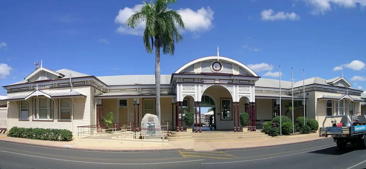
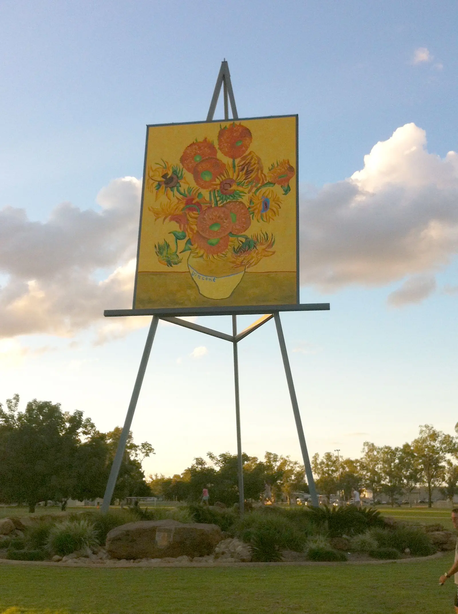
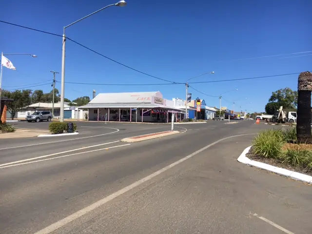
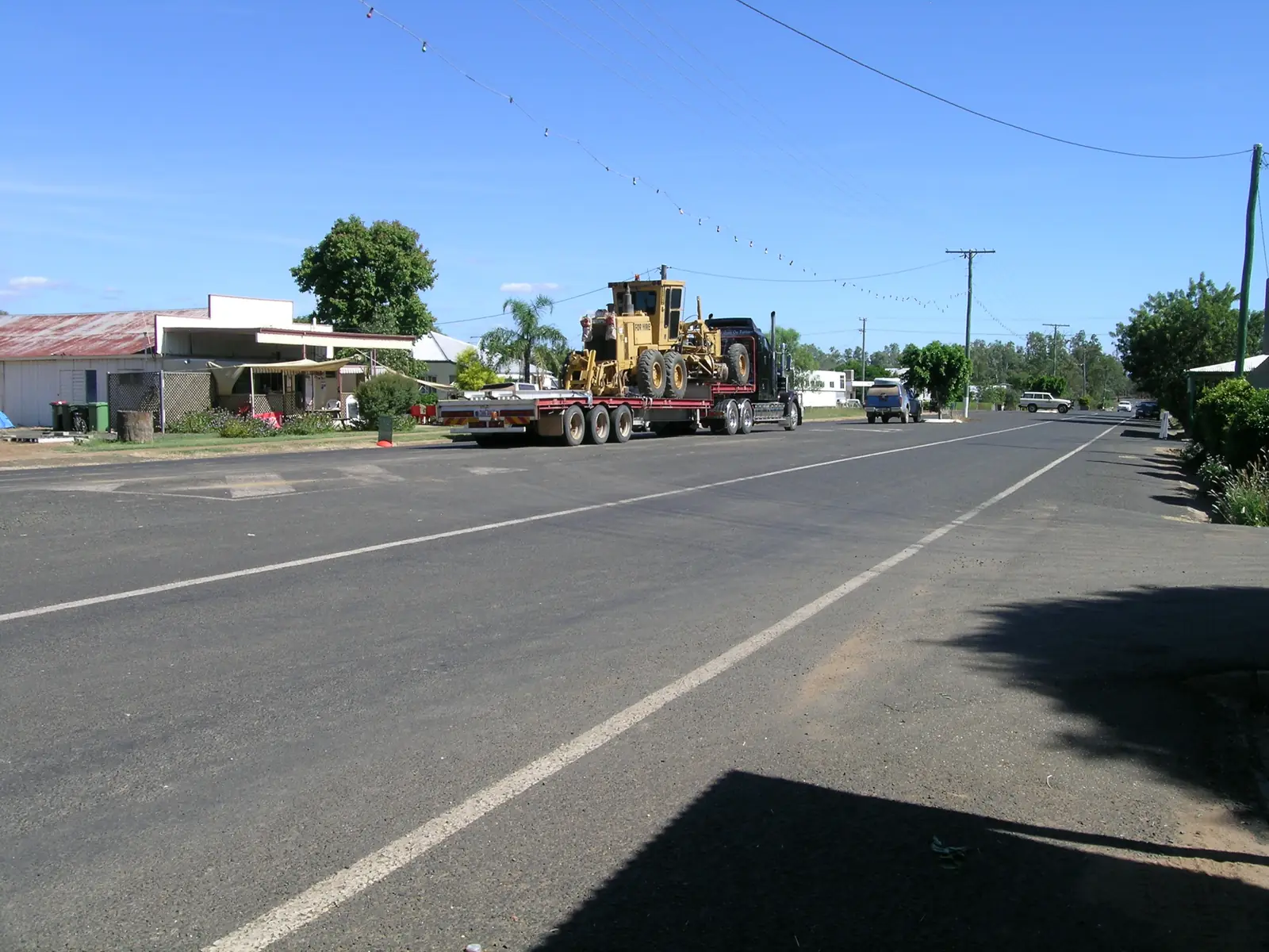
Rolleston in pictures
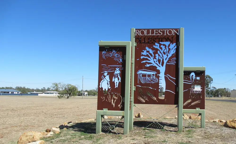
Entrance sign in RollestonPhoto: JulieMay54 · CC BY-SA 4.0 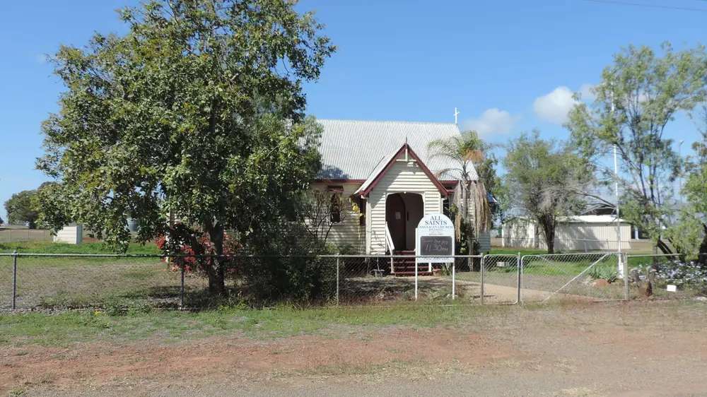
Rolleston's All Saint's Anglican Church, 2 Warrijo StreetPhoto: Kerry Raymond · CC BY 4.0 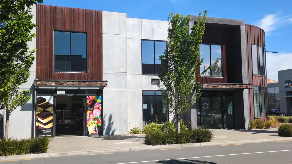
Holly's Dairy and Reform Rolleston CentralPhoto: ProtoKiwi · CC BY 4.0 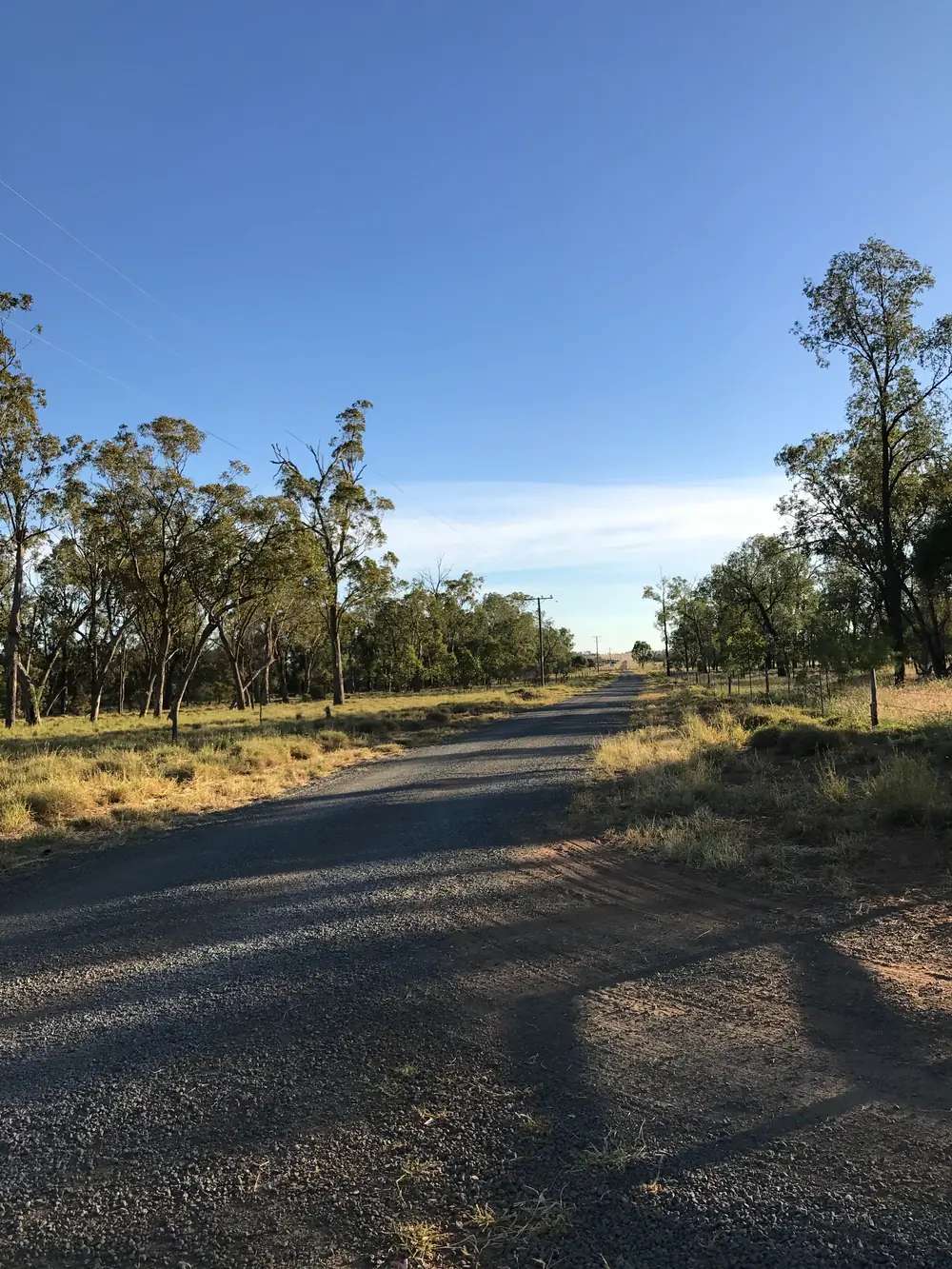
A quiet country road in RollestonPhoto: CHRC Libraries · CC BY 2.0
Rolleston sits in Queensland’s Central Highlands, on the Carnarvon Highway, in the Capricorn and Burnett directory. Central Queensland Highlands describes a fertile valley bounded by sandstone cliffs of the Carnarvon, Expedition and Shotover Ranges. Council’s Innovate RAP lists Rolleston among the region’s 13 communities. This is cattle, grain and coal-adjacent highway country, and the named fuel stop for Carnarvon Gorge: the 2025–26 visitor guide says there are no fuel stations at the gorge and tells travellers to fill up at Injune or Rolleston.
The Australian Bureau of Statistics does not publish a 2021 Urban Centre (UCL) named Rolleston on the QuickStats pages used here. Use suburbs-and-localities SAL32462: 132 people, median age 33, sex split 50.0% male / 50.0% female. Travellers stop for Beazley Park, a short Heritage Walk, the Comet River fishing hole, and a sealed overnight before the gorge or Emerald. You do not need a 4WD to reach Rolleston in ordinary weather on the Carnarvon Highway. You do need QLDTraffic after rain, because a 100 km run to the gorge on tourism copy is no use if the highway is closed.
Where it is, and how far
Rolleston is the Carnarvon Highway town south of Springsure and north of the gorge turn. Central Queensland Highlands’ history itinerary puts Rolleston to Springsure at 70 km, then Springsure to Emerald at 70 km. The same organisation’s Carnarvon Gorge essentials list nearby town options as Rolleston (100 km) and Springsure (170 km), with a 45 km sealed access road between Injune and Rolleston suitable for all vehicles. Queensland Parks puts the gorge about 720 km by road north-west of Brisbane.
This page does not add those legs into an invented Rolleston–Emerald total. Use the two sourced 70 km figures and QLDTraffic.
| Place | Distance from Rolleston (official wording) |
|---|---|
| Springsure | 70 km (Central Queensland Highlands itinerary) |
| Carnarvon Gorge (nearby-town list) | 100 km (CQH gorge essentials) |
| Gorge access road | 45 km sealed between Injune and Rolleston (same essentials page) |
| Emerald | not published as a single Rolleston kilometre on those pages; Springsure–Emerald is 70 km on the itinerary |
| Biloela | not published on those pages |
Biloela is the Banana Shire service town east on Dawson Highway country. It is a regional neighbour on this site, not a 20-minute side road we invented a kilometre for.
Facts at a glance
Population. ABS 2021 Census, Suburbs and Localities SAL32462: 132 people. Median age 33. 28 families, 124 private dwellings. Median weekly household income $1,416. No UCL on the QuickStats pages used here. Use the Rolleston SAL QuickStats.
Climate. Bureau of Meteorology station ROLLESTON AIRPORT, 035129, commenced 2010, location 24.46°S, 148.63°E, elevation 219 m, status Open. Mean maximum temperature (16 years, 2010–2026): January 34.7 °C hottest month by mean max, June 22.7 °C coolest, annual 29.6 °C. Mean minimum: January 21.6 °C, July 6.5 °C, annual 14.5 °C. Mean rainfall (14 years, 2010–2026): annual 577.9 mm; January 105.6 mm wettest mean month; August 19.2 mm driest. Full columns: BOM Rolleston Airport. See Rolleston weather. A closed earlier station, ROLLESTON 035059, is not used as the live table here.
Visitor information. Heritage Walk guides from the Rolleston Library on the CQH town page. Regional parks, camping permits and fossicking: Central Queensland Highlands Visitor Information Centre, Emerald. Council has a transaction centre in Rolleston on the RAP. Confirm hours before a public holiday.
Traditional Owners
Central Highlands Regional Council’s Innovate RAP states that the Central Highlands sits at the intersection of several Traditional Custodian claimant groups, that claimed areas may overlap, and that council does not pass judgement on the validity of any claim. Groups the RAP lists as having been engaged include Wadja Aboriginal Corporation, Kairi peoples (Gayiri), Western Kangoulu peoples and Gaangalu Nation People, among others. This guide follows that wording rather than flattening the Rolleston townsite to a single nation. Queensland Parks’ Carnarvon Gorge welcome asks visitors to treat Country with respect. See visiting Country respectfully.
History
Central Queensland Highlands’ Rolleston page is a short visitor list rather than a founding narrative. Purbrook Hut in Beazley Park is made from pieces of a grand homestead built in the 1860s, with local historical information on the walls. The historic post office building was moved to the park and is used as an art gallery. The Heritage Walk covers stories behind some of Rolleston’s buildings; guides from the library. The visitor guide adds a hand-drawn timeline of the town’s history at the library.
This hub does not invent a gazettal year or a coal-mine visitor-centre tour that is not on those pages. Rolleston Open Cut appears in third-party community articles; it is not used here as a sourced tourist attraction.
Things to do
Beazley Park is the named town stop: Purbrook Hut, art gallery, coffee cart, outdoor cinema, picnic facilities, skate park and a modern playground. The Rolleston Coffee Cart is open April to September on both the town page and the visitor guide, serving travellers home-baked goods and fresh coffee. That is a seasonal hours note, not a menu.
Heritage Walk — self-guided, brochure from the library.
Comet River fishing hole — named on the town page for anglers. Queensland fisheries rules apply. This facts file does not list species.
Carnarvon Gorge is the reason many vans fill up here. Use the Carnarvon Gorge guide, Queensland Parks alerts, and QLDTraffic. There is no fuel at the gorge.
See things to do in Rolleston.
Minerva Hills, Virgin Rock and Salvator Rosa sit on the Springsure side of the 70 km run. Use the Springsure guide for those names. They are not Rolleston main-street attractions.
Where to stay
Central Queensland Highlands’ gorge essentials list Rolleston (100 km) among nearby accommodation options to the gorge, alongside Springsure (170 km) and park camping with a permit. The town page itself does not publish a motel directory. This page does not invent hotel names.
Ask the Emerald visitor centre or the library about:
- motel or hotel rooms in town
- caravan park or camping sites
- Beazley Park as a rest / dump-point stop (visitor guide), not as an assumed overnight without checking signs
- gorge camping (school-holiday visitor area; year-round Big Bend with a walk) on the Parks and CQH pages
Those are categories, not bookings.
- How to choose: Rolleston accommodation
- Camping detail: Rolleston caravan parks
- Operator enquiries: feature your business
If Rolleston is full, Springsure is 70 km north-west on the itinerary and Emerald is the next 70 km beyond Springsure. The gorge has privately run camping and cabins at the entrance on CQH copy. That is a distance fact, not a booking guarantee.
Caravan and camping
Vans use Rolleston because the Carnarvon Highway is sealed and CQH names a dump point at Beazley Park. Confirm stay limits on site signs and with the Emerald desk. The visitor guide dump-point list also names Emerald Showgrounds and Springsure (Barcoo Street). Read Rolleston caravan parks and outback camping.
After rain, the gorge access and the Carnarvon Highway are the constraint. QLDTraffic first.
Fuel and services
A locality of 132 people will not match Emerald for a hospital or supermarket. This guide does not list bowser brands. The fact that matters is on the gorge essentials page: fill up at Injune or Rolleston before Carnarvon Gorge. The coffee cart runs April–September. Confirm a general store or roadhouse when you arrive. For current questions, use Central Highlands Regional Council and the Emerald visitor centre.
Road access
The Carnarvon Highway is the sealed spine through Rolleston toward the gorge country and north toward Springsure and the Gregory Highway / Great Inland Way junction at Emerald. It is a freight and cattle road. After rain, check QLDTraffic and 13 19 40. Do not drive around closed signs to keep a gorge walk.
The 45 km sealed access road into Carnarvon Gorge sits between Injune and Rolleston on CQH copy. Parks: the gorge section has 2WD access to the entrance; other sections of Carnarvon National Park (Salvator Rosa, Ka Ka Mundi, Mount Moffatt) are unsealed 4WD country via Springsure or Injune, not via this town page.
East, Dawson Highway country runs toward Biloela. North, Springsure then Emerald. South, Injune and Roma on the inland route.
Nearby parks and towns
Parks and named nature sites:
- Carnarvon Gorge — 100 km on the CQH nearby-town list; 45 km sealed access between Injune and Rolleston
- Comet River fishing hole (CQH)
- Salvator Rosa, Ka Ka Mundi and Minerva Hills — Springsure-side parks; see Springsure
Towns on this site:
- Emerald — regional centre, visitor information, supermarket
- Biloela — Banana Shire service town on Dawson Highway country
- Springsure — 70 km; Virgin Rock, Minerva Hills
The Gemfields at Sapphire and Rubyvale sit west of Emerald, not on the Carnarvon Highway. Use Emerald as the junction if that is your trip.
When to go, and how long
January’s airport mean maximum of 34.7 °C is hot for a Heritage Walk at midday. June’s 22.7 °C mean maximum is the comfortable walking season on paper; July’s 6.5 °C mean minimum is why a park camp needs a layer. Annual rainfall 577.9 mm on a short 2010–2026 table is a summer-storm pattern: January 105.6 mm, August 19.2 mm. The coffee cart’s April–September hours sit on top of that dry-season window.
Forty-five minutes at Beazley Park and fuel is the minimum. A night lets you start for the gorge with a full tank. Two nights in Rolleston itself is more than the sourced main-street list supports unless the gorge is full or QLDTraffic has closed the access road.
Operators who want a checked listing: feature your business. The listings slot on this hub stays empty until then.
Plan this trip
Tell us the dates, who you are travelling with and where you need help. We reply with planning notes for Rolleston — we are not a booking agent.
Events and road-conditions newsletter
Occasional notes on outback festivals, race days and official road-condition sources — not a daily blast. We use these details only to send the newsletter.
Queensland · Central Highlands
Rolleston accommodation
Where to stay in Rolleston: town rooms and parks as named types, Beazley Park dump point, and Carnarvon Gorge / Springsure / Emerald as official fallbacks. Confirm at the Emerald visitor centre.
Read · 4 min
Queensland · Central Highlands
Rolleston caravan parks
Camping in Rolleston: town parks as a category, Beazley Park dump point named by Central Queensland Highlands, and Carnarvon Gorge camping with a permit. Confirm signs and the Emerald VIC.
Read · 3 min
Queensland · Central Highlands
Rolleston weather
Rolleston climate from BOM Rolleston Airport (035129): January mean max 34.7 °C, June 22.7 °C, annual rainfall 577.9 mm. Station commenced 2010. QLDTraffic for the Carnarvon Highway and gorge.
Read · 4 min
Queensland · Central Highlands
Things to do in Rolleston
Things to do in Rolleston: Beazley Park and Purbrook Hut, Heritage Walk from the library, Comet River fishing, and why Carnarvon Gorge is a separate day with no fuel at the park.
Read · 4 min
Frequently asked questions
How far is Rolleston from Springsure and Carnarvon Gorge?
Central Queensland Highlands’ visitor guide itinerary puts Rolleston to Springsure at 70 km. The same guide’s Carnarvon Gorge essentials list nearby town options as Rolleston 100 km and Springsure 170 km, with a 45 km sealed access road between Injune and Rolleston. There are no fuel stations at the gorge — fill up at Injune or Rolleston.
What is Rolleston’s population?
132 people at the 2021 Census for Rolleston suburbs-and-localities (SAL32462). Median age 33. The ABS does not publish a 2021 Urban Centre (UCL) named Rolleston on the QuickStats pages used here.
What is Beazley Park?
Central Queensland Highlands lists Beazley Park in the heart of Rolleston with Purbrook Hut, an art gallery in the historic post office building, coffee cart, outdoor cinema, picnic facilities, skate park and playground. The visitor guide also names a dump point at Beazley Park.
What is the weather like in Rolleston?
BOM Rolleston Airport (035129) shows a January mean maximum of 34.7 °C, a June mean maximum of 22.7 °C (coolest month by mean max) and annual mean rainfall of 577.9 mm. The station commenced in 2010. Check QLDTraffic after summer storms.
Where do I get visitor information for Rolleston?
Heritage Walk guides are available from the Rolleston Library on Central Queensland Highlands’ town page. For regional parks and fossicking, use the Central Queensland Highlands Visitor Information Centre in Emerald. Confirm hours before you arrive.
Is there fuel at Carnarvon Gorge?
No. Central Queensland Highlands’ gorge essentials page says there are no fuel stations at Carnarvon Gorge and tells travellers to fill up at Injune or Rolleston.
Sources and further reading
Facts on this page were checked against these primary and official sources. Conditions change — confirm before you travel or buy.
- Rolleston 2021 Census QuickStats (SAL32462) — Australian Bureau of Statistics
- Climate statistics for Rolleston Airport (035129) — Bureau of Meteorology
- Central Queensland Highlands — Rolleston — Central Highlands Development Corporation
- Central Queensland Highlands Visitor Guide 2025–26 — Central Highlands Development Corporation
- Carnarvon Gorge, Carnarvon National Park — Queensland Parks and Wildlife Service
- Central Highlands Regional Council Innovate RAP 2025–2027 — Central Highlands Regional Council
- QLDTraffic — Queensland Government