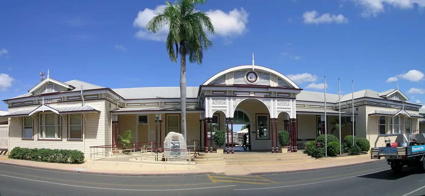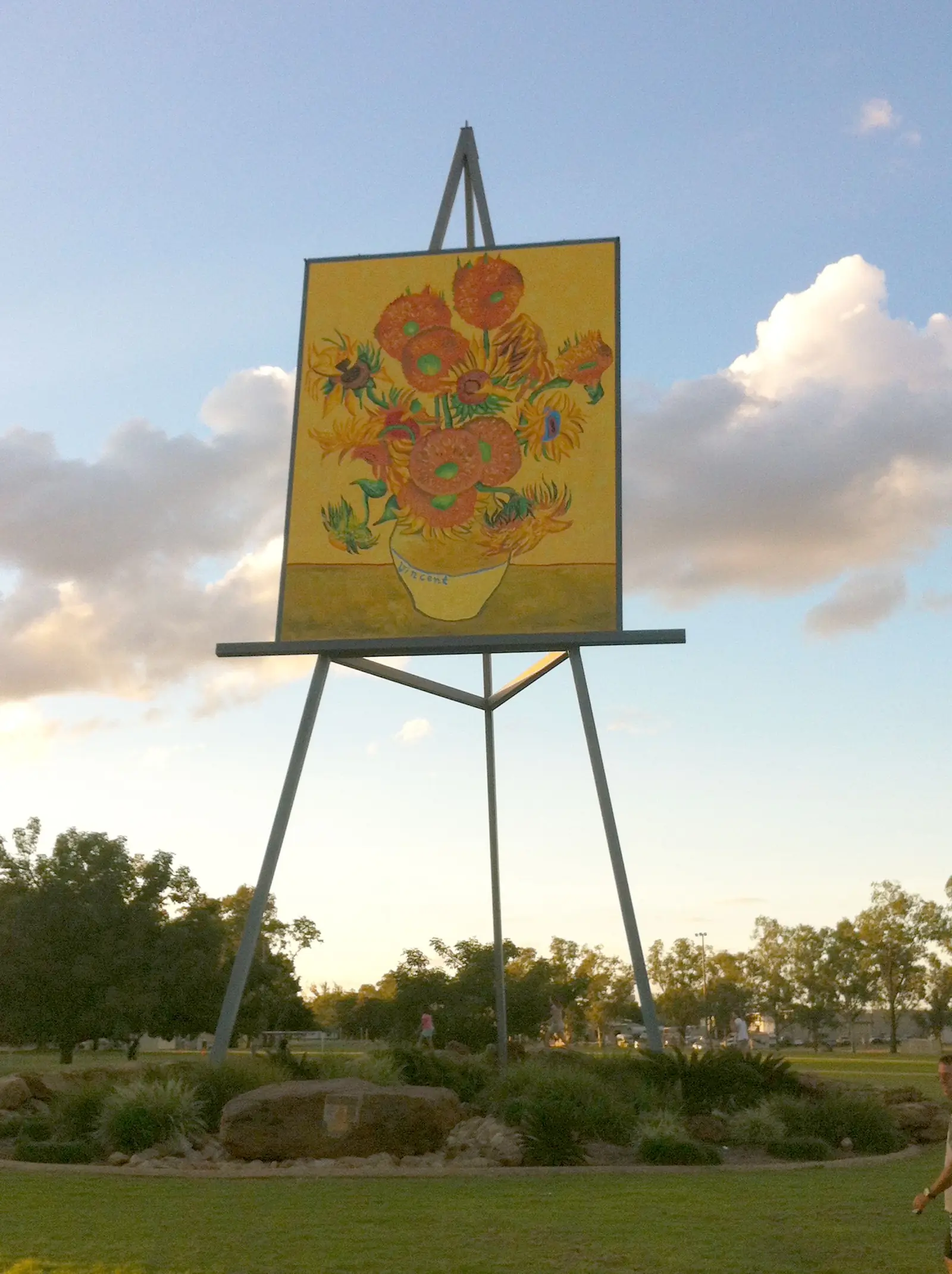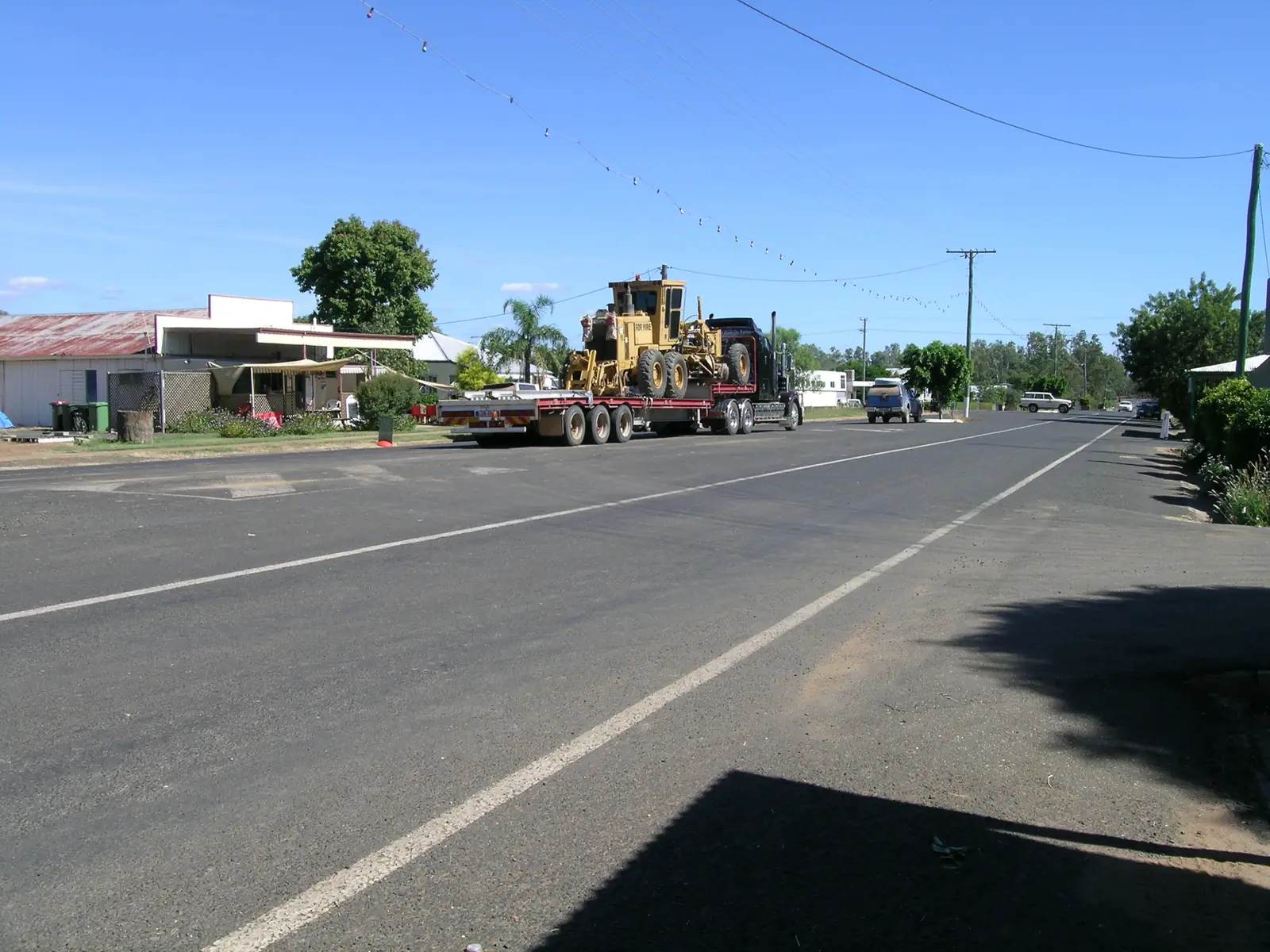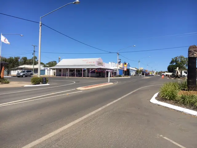
At a glance
Sourced facts only. Distances and services change — confirm before you travel.
- Local government
- Central Highlands Regional Council
- Mobile coverage
- Check Telstra and Optus coverage maps before travel; do not assume a signal.
- Best time to visit
- May–September on Springsure Comet St cooler mean maxima
Climate
Monthly means from the Bureau of Meteorology station Springsure Comet St (035065). This is not a forecast. Open. Commenced 1865. Elevation 345 m.
| Month | Mean max (°C) | Mean min (°C) | Rainfall (mm) |
|---|---|---|---|
| Jan | 34.0 | 20.9 | 110.6 |
| Feb | 32.6 | 20.5 | 106.8 |
| Mar | 31.7 | 18.9 | 71.3 |
| Apr | 29.0 | 14.9 | 38.6 |
| May | 25.4 | 11.0 | 34.1 |
| Jun | 22.3 | 7.4 | 37.1 |
| Jul | 22.2 | 6.5 | 28.1 |
| Aug | 24.2 | 7.7 | 23.7 |
| Sep | 27.7 | 11.4 | 29.2 |
| Oct | 30.7 | 15.4 | 49.8 |
| Nov | 32.8 | 18.0 | 64.9 |
| Dec | 34.0 | 19.9 | 91.0 |
Springsure in pictures
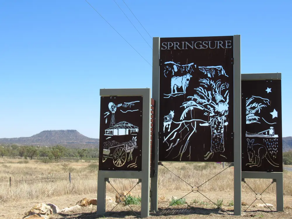
Entrance sign in SpringsurePhoto: JulieMay54 · CC BY-SA 4.0 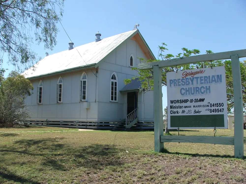
Springsure's Presbyterian churchPhoto: Bernard S. Jansen · CC BY-SA 2.5 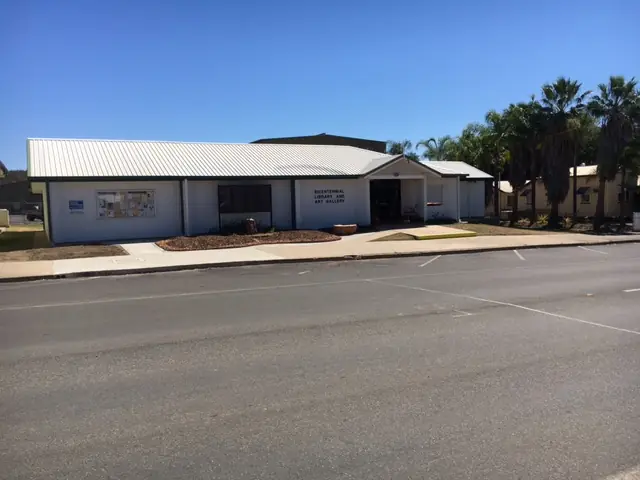
Bicentennial Library & Art Gallery in SpringsurePhoto: CHRC Libraries · CC BY 2.0 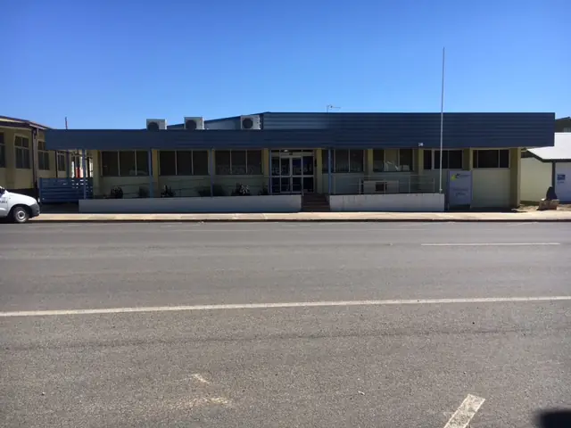
Springsure Council OfficePhoto: CHRC Libraries · CC BY 2.0
Springsure sits under Mount Zamia in Queensland’s Central Highlands, on the Gregory Highway, in the Capricorn and Burnett directory. Central Queensland Highlands says the name came from permanent springs in creeks and gullies at settlement, and that the town is known for heritage, hills and hospitality. Council’s Innovate RAP lists Springsure among the region’s 13 communities, with a council office here. This is the sealed junction between Emerald and Rolleston on CQH’s 70 km / 70 km itinerary, and the named road town for Virgin Rock, Minerva Hills National Park, and the Salvator Rosa section of Carnarvon National Park as those official pages print the names.
The 2021 Census counted 731 people in the urban centre. Travellers stop for the floodlit rock, a day-use national park (camping is not permitted inside Minerva Hills), and a full tank before 4WD country west to Salvator Rosa or south to Carnarvon Gorge. You do not need a 4WD to reach Springsure in ordinary weather. You do need QLDTraffic after rain, and a high-clearance 4WD if Salvator Rosa is the point of the trip.
Where it is, and how far
Springsure is the Gregory Highway town between Emerald and Rolleston. CQH’s history itinerary: 70 km from Rolleston, then 70 km to Emerald. The same guide’s Carnarvon Gorge nearby-town list puts Springsure 170 km from the gorge (Rolleston 100 km). Parks’ Minerva Hills location line is 4 km north-west of Springsure; visiting-safely directions are 4 km west on Tambo Road, right into Dendle Drive, 3 km to the park boundary. The visitor guide rounds the park to just 7 km. This page quotes those official wordings rather than inventing a third figure.
Salvator Rosa and Ka Ka Mundi are the Carnarvon National Park sections Parks names via Springsure. Salvator Rosa: 168 km from Springsure and 135 km from Tambo via Mount Playfair Road on the park page; scenic-drive copy also describes 168 km west on the Dawson Developmental Road to the turn-off, then 50 km south via Cungelella. 4WD only. Ka Ka Mundi: 130 km or two hours south-west of Springsure; 4WD recommended.
| Place | Distance from Springsure (official wording) |
|---|---|
| Rolleston | 70 km (CQH itinerary) |
| Emerald | 70 km (same itinerary) |
| Carnarvon Gorge (nearby-town list) | 170 km (CQH gorge essentials) |
| Minerva Hills | 4 km north-west (Parks location); 4 km west then 3 km Dendle Drive (Parks access) |
| Staircase Range Lookout | 17 km south (CQH Springsure page) |
| Salvator Rosa | 168 km (Parks); then 50 km via Cungelella on the scenic-drive note |
| Ka Ka Mundi | 130 km / two hours south-west (Parks) |
| Clermont | north on Gregory Highway country via Emerald — use QLDTraffic, not an invented kilometre |
Clermont is the next large Gregory Highway guide on this site north of Emerald. Biloela is Dawson Highway country, not a Springsure side road.
Facts at a glance
The Australian Bureau of Statistics counted 731 people in the Springsure (L) urban centre at the 2021 Census (UCL321096). Median age 42. Sex split 47.7% male / 52.3% female. 186 families, 405 private dwellings, median weekly household income $1,625. The suburbs-and-localities geography SAL32633 counted 950 people; do not mix the two. Use the ABS UCL QuickStats.
Climate. Bureau of Meteorology station SPRINGSURE COMET ST, 035065, commenced 1865, location 24.12°S, 148.09°E, elevation 345 m, status Open. Mean maximum temperature (77 years, 1938–2026): January and December 34.0 °C hottest months by mean max, July 22.2 °C coolest, annual 28.9 °C. Mean minimum: January 20.9 °C, July 6.5 °C, annual 14.4 °C. Mean rainfall (144 years, 1865–2026): annual 683.6 mm; January 110.6 mm wettest mean month; August 23.7 mm driest. Full columns: BOM Springsure Comet St. See Springsure weather.
Visitor information. Federation Woolshed, Rich Memorial Park — photos, antiques, information centre. Visitor guide: open daily Easter to October. Confirm hours. Council office in Springsure. Regional bookings: CQH Visitor Information Centre, Emerald.
Traditional Owners
Central Highlands Regional Council’s Innovate RAP states that the Central Highlands sits at the intersection of several Traditional Custodian claimant groups, that claimed areas may overlap, and that council does not pass judgement on the validity of any claim. Groups the RAP lists as having been engaged include Wadja Aboriginal Corporation, Kairi peoples (Gayiri), Western Kangoulu peoples and Gaangalu Nation People, among others. This guide follows that wording rather than flattening the Springsure townsite to a single nation.
Yumba Burin (Keeping Place) at the cemetery is named on the CQH Springsure page as an Indigenous crypt for bark-wrapped Aboriginal remains and artefacts. Access is by contact named on that page (Darryl Black 0475 086 480). This is not a casual tourist exhibit. See visiting Country respectfully.
History
CQH: Springsure’s name came from permanent springs in creeks and gullies at settlement. The Federation Woolshed in Rich Memorial Park is a replica of sheds Britain sent to the colonies at the turn of the 20th century. The visitor guide adds a Heritage Walk from the Woolshed along the main street, and names the heritage-listed Springsure Hospital, built in 1868, as a must-see on that walk.
Staircase Range Lookout, 17 km south, is named for a sandstone escarpment in a staircase shape, with the Old Wagon Road cut into sandstone by pick and crowbar (visitor guide: early 1900s, Chinese labour on that page’s wording).
Wills Memorial Site on Cullin La Ringo Road is named on the CQH Springsure page as a memorial headstone at the site of the 1861 frontier conflict. This hub uses that official wording only. It does not invent a visitor narrative.
Things to do
Virgin Rock / Lions Park is the named vantage on the eastern side of Mount Zamia. CQH: weathered likeness to the Virgin Mary holding her child; cliffs floodlit at night; popular free camping and RV site. The visitor guide repeats Lions Park at the base of Minerva Hills as the best view, floodlit at night.
Minerva Hills National Park — jagged peaks, Zamia palms, lookouts including Fred’s Gorge, walking trails, mountain biking on CQH copy. Parks: camping is not permitted; no pets; unsealed Dendle Drive unsuitable for caravans; conventional access in dry weather. Skyline Lookout 1.6 km return (40–55 minutes), Grade Easy, views south to Virgin Rock and town, north beyond Eclipse Gap. Fred’s Gorge day-use: shelter, toilets, drinking water. Eclipse Gap lookout at the end of Dendle Drive. Springsure Lookout and Norwood Creek picnic area: 4WD tracks off Dendle Drive. Parks visiting-safely: summer days can exceed 35 °C; winter frosts; rain mostly December–March.
Salvator Rosa, Carnarvon National Park — named on Parks pages only as used here: springs adding more than ten million litres of water a day to Louisa Creek and the Nogoa River; sandstone crags; 4WD; camping at Nogoa River. Not a sedan afternoon from Lions Park.
Ka Ka Mundi — 130 km south-west; bottle trees and brigalow on CQH copy; 4WD recommended; bush camping at Bunbuncundoo Springs with a permit; no facilities, no caravan camping, no campfires on the Parks camping page.
Carnarvon Gorge is 170 km on the nearby-town list. Use that park guide. Fill fuel in Springsure or Rolleston.
See things to do in Springsure.
Where to stay
Parks: a range of holiday accommodation in and around Springsure; fuel and supplies in town. CQH names Lions Park as a popular free camping and RV site. The visitor guide dump-point list includes Springsure: Barcoo Street. This page does not publish a ranked motel list, prices or ratings.
- How to choose: Springsure accommodation
- Parks, Lions Park and 4WD camps: Springsure caravan parks
- Operator enquiries: feature your business
If Springsure is full, Emerald is 70 km north on the itinerary and Rolleston is 70 km south-east. Book ahead in school holidays and around gorge dates. That is a distance fact, not a booking guarantee.
Caravan and camping
Vans use Springsure because the Gregory Highway is sealed and CQH names Lions Park / Virgin Rock as a free camping and RV site. Camping is not permitted in Minerva Hills. Salvator Rosa and Ka Ka Mundi are remote 4WD camps with Parks permits — Ka Ka Mundi is not a caravan camp on the Parks page. Ask the Woolshed (in season) or the Emerald VIC for stay limits. Read Springsure caravan parks and outback camping.
After rain, Dendle Drive and the Dawson Developmental Road are the constraint. QLDTraffic first.
Fuel and services
Springsure’s urban centre counted 731 people. Parks’ Minerva Hills page is explicit: fuel and supplies are available at Springsure. This guide does not list bowser brands. Fill up here before Salvator Rosa, Ka Ka Mundi or a late run to the gorge. The CQH dump-point list names Barcoo Street. Council office in town. For current questions, use Central Highlands Regional Council and the Woolshed hours.
Road access
The Gregory Highway is the sealed north–south spine through Springsure, part of the inland corridor the RAP describes between Charters Towers and northern New South Wales, and a leg of the Great Inland Way story on this site. North: Emerald, then Clermont. South-east: Rolleston and the Carnarvon Highway toward the gorge. West: Dawson Developmental Road toward Tambo and the Salvator Rosa turn-off.
Minerva Hills: unsealed Dendle Drive, dry-weather conventional, not recommended for caravans. Salvator Rosa and Ka Ka Mundi: high-clearance 4WD, dry weather. Check QLDTraffic and 13 19 40. Do not drive around closed signs to keep a lookout photo.
Nearby parks and towns
Parks and named nature sites (official pages):
- Virgin Rock / Lions Park (CQH)
- Minerva Hills National Park (Parks)
- Staircase Range Lookout, 17 km south (CQH)
- Salvator Rosa, Carnarvon National Park (Parks)
- Ka Ka Mundi, Carnarvon National Park (Parks)
- Carnarvon Gorge — 170 km on the CQH nearby-town list
Towns on this site:
- Emerald — 70 km; supermarket, Lake Maraboon, Gemfields junction
- Rolleston — 70 km; Beazley Park, gorge fuel
- Clermont — Gregory Highway gold and copper history north of Emerald
- Biloela — Banana Shire, Dawson Highway
The Gemfields at Sapphire and Rubyvale sit west of Emerald, not in Springsure.
When to go, and how long
January’s mean maximum of 34.0 °C is hot for Skyline Lookout at midday. July’s 22.2 °C mean maximum is the comfortable walking season; July’s 6.5 °C mean minimum matches Parks’ frost warning. Annual rainfall 683.6 mm on a long table is a summer-storm pattern: January 110.6 mm, August 23.7 mm. The Woolshed’s Easter–October hours sit on the dry-season window.
Two hours at Virgin Rock, Woolshed (if open) and a Minerva Hills lookout is the minimum. A night lets you see the floodlit cliffs. Two nights if you are adding Staircase Range or a gorge day that QLDTraffic still supports. Salvator Rosa is a remote 4WD add-on, not a second Springsure afternoon.
Operators who want a checked listing: feature your business. The listings slot on this hub stays empty until then.
Plan this trip
Tell us the dates, who you are travelling with and where you need help. We reply with planning notes for Springsure — we are not a booking agent.
Events and road-conditions newsletter
Occasional notes on outback festivals, race days and official road-condition sources — not a daily blast. We use these details only to send the newsletter.
Queensland · Central Highlands
Springsure accommodation
Where to stay in Springsure: town rooms as a category, Virgin Rock Lions Park as the named RV site, no camping in Minerva Hills, and Salvator Rosa / Ka Ka Mundi only with a Parks permit and 4WD.
Read · 4 min
Queensland · Central Highlands
Springsure caravan parks
Camping in Springsure: Virgin Rock Lions Park as the named RV site, no camping in Minerva Hills, Barcoo Street dump point, and 4WD Parks camps at Salvator Rosa and Ka Ka Mundi.
Read · 4 min
Queensland · Central Highlands
Springsure weather
Springsure climate from BOM Springsure Comet St (035065): January and December mean max 34.0 °C, July 22.2 °C, annual rainfall 683.6 mm. Station open since 1865. QLDTraffic for Dendle Drive and Salvator Rosa.
Read · 4 min
Queensland · Central Highlands
Things to do in Springsure
Things to do in Springsure: Virgin Rock at Lions Park, Minerva Hills lookouts, Federation Woolshed, Staircase Range, and Salvator Rosa / Ka Ka Mundi as named on Queensland Parks pages only.
Read · 4 min
Frequently asked questions
What is Virgin Rock?
Central Queensland Highlands describes Virgin Rock as a niche in the eastern side of Mount Zamia with a weathered likeness to the Virgin Mary holding her child. Lions Park is the named vantage; the cliffs are floodlit at night. It is also listed as a popular free camping and RV site. Confirm overnight rules on site signs.
How far is Springsure from Emerald, Rolleston and Salvator Rosa?
Central Queensland Highlands’ itinerary puts Springsure 70 km from Rolleston and 70 km from Emerald. Queensland Parks’ Salvator Rosa page puts that section 168 km from Springsure and 135 km from Tambo via Mount Playfair Road. Parks’ scenic-drive note also describes 168 km west on the Dawson Developmental Road to the turn-off, then 50 km south via Cungelella. High-clearance 4WD only.
What is Springsure’s population?
731 people at the 2021 Census for the Springsure (L) urban centre (UCL321096). The suburb/locality figure is larger (SAL32633, 950) and is not the town count.
Can I camp in Minerva Hills National Park?
No. Queensland Parks and Central Queensland Highlands both say camping is not permitted in Minerva Hills. Lions Park / Virgin Rock is the named nearby free-camping and RV site on CQH pages. Fuel and supplies are available at Springsure on the Parks visiting-safely page.
What is the weather like in Springsure?
BOM Springsure Comet St (035065) shows January and December mean maxima of 34.0 °C, a July mean maximum of 22.2 °C and annual mean rainfall of 683.6 mm. The station commenced in 1865 and remains open.
Where is the visitor information for Springsure?
Central Queensland Highlands names the Federation Woolshed in Rich Memorial Park as the information centre. The 2025–26 visitor guide lists it open daily from Easter to October. Confirm hours. Regional parks can also be booked through the CQH Visitor Information Centre in Emerald.
Sources and further reading
Facts on this page were checked against these primary and official sources. Conditions change — confirm before you travel or buy.
- Springsure (L) 2021 Census QuickStats (UCL321096) — Australian Bureau of Statistics
- Springsure 2021 Census QuickStats (SAL32633) — Australian Bureau of Statistics
- Climate statistics for Springsure Comet St (035065) — Bureau of Meteorology
- Central Queensland Highlands — Springsure — Central Highlands Development Corporation
- Central Queensland Highlands Visitor Guide 2025–26 — Central Highlands Development Corporation
- Minerva Hills National Park — Queensland Parks and Wildlife Service
- Visiting safely — Minerva Hills National Park — Queensland Parks and Wildlife Service
- Things to do — Minerva Hills National Park — Queensland Parks and Wildlife Service
- Salvator Rosa, Carnarvon National Park — Queensland Parks and Wildlife Service
- Salvator Rosa scenic drive — Queensland Parks and Wildlife Service
- Ka Ka Mundi, Carnarvon National Park — Queensland Parks and Wildlife Service
- Central Highlands Regional Council Innovate RAP 2025–2027 — Central Highlands Regional Council
- QLDTraffic — Queensland Government