At a glance
Sourced facts only. Distances and services change — confirm before you travel.
- Population
- The ABS does not publish a 2021 Urban Centre (UCL) or suburbs-and-localities (SAL) named Yaraka. Census night was 10 August 2021. Do not treat Isisford SAL31416 (218 people) as a Yaraka-only count.
- Local government
- Longreach Regional Council
- Nearest regional city
- Isisford, 100 km on Outback Queensland
- Mobile coverage
- Check Telstra and Optus coverage maps before travel; do not assume a signal.
- Best time to visit
- May–September on Isisford Post Office cooler mean maxima
Climate
Monthly means from the Bureau of Meteorology station Isisford Post Office (036026). This is not a forecast. Open. Labelled neighbour table, 100 km on Outback Queensland — Yaraka State School (036093) has no climate-averages table. Do not blend. Commenced 1885. Elevation 203 m.
| Month | Mean max (°C) | Mean min (°C) | Rainfall (mm) |
|---|---|---|---|
| Jan | 37.0 | 23.2 | 69.7 |
| Feb | 35.9 | 22.5 | 71.8 |
| Mar | 34.4 | 20.5 | 61.7 |
| Apr | 30.8 | 16.1 | 35.6 |
| May | 26.3 | 11.4 | 27.3 |
| Jun | 23.0 | 7.9 | 20.9 |
| Jul | 22.8 | 6.7 | 20.3 |
| Aug | 25.4 | 8.2 | 12.2 |
| Sep | 29.5 | 12.3 | 15.3 |
| Oct | 33.3 | 16.8 | 27.9 |
| Nov | 35.8 | 20.0 | 35.9 |
| Dec | 37.1 | 22.1 | 52.5 |
Yaraka in pictures
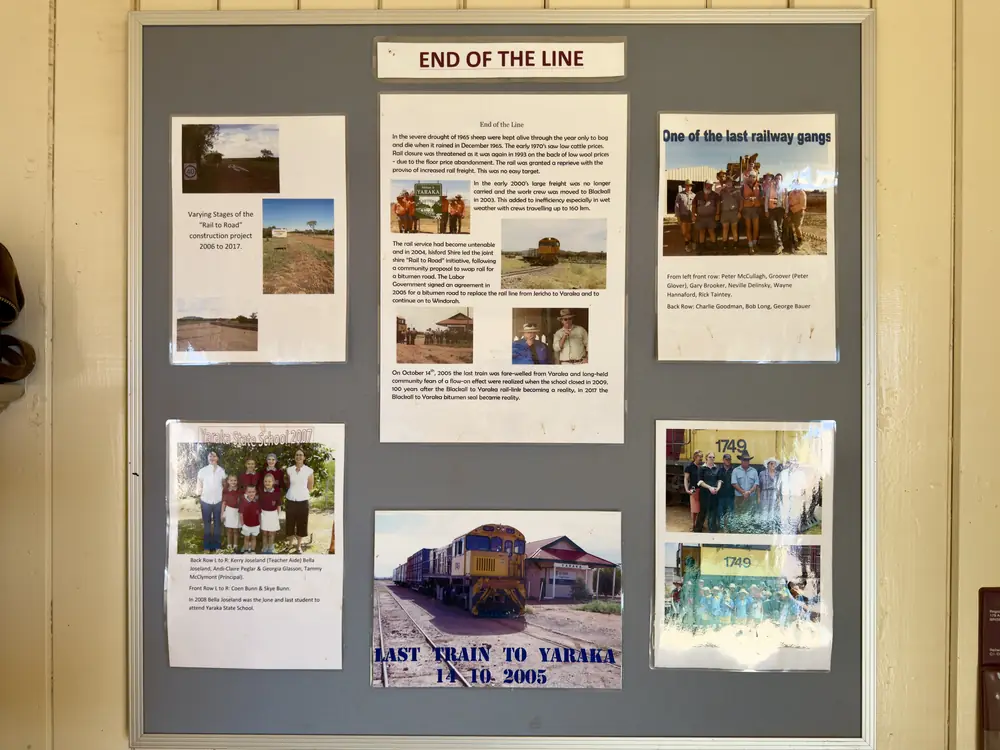
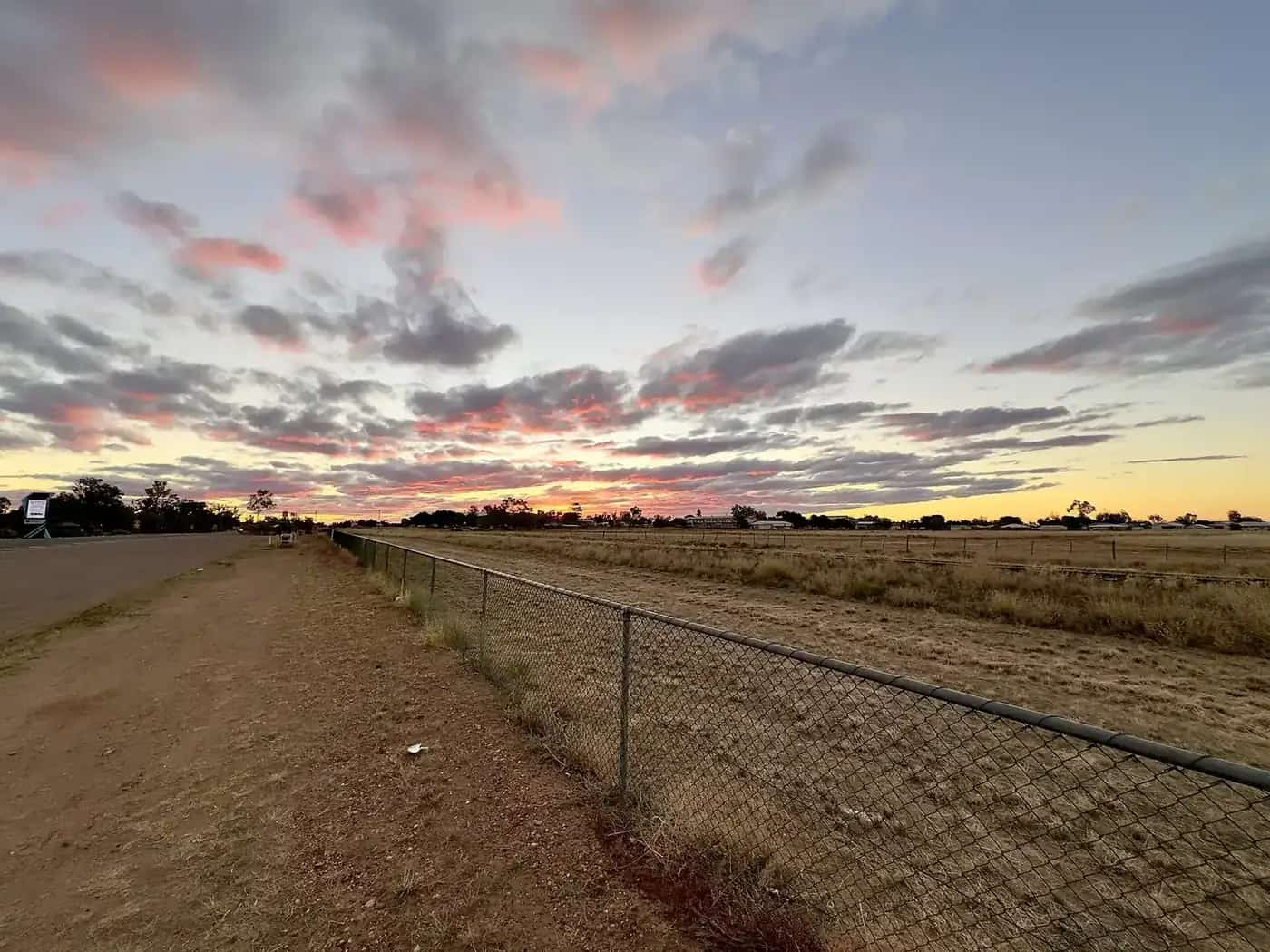
Yaraka Railway StationPhoto: Kgbo · CC BY-SA 4.0 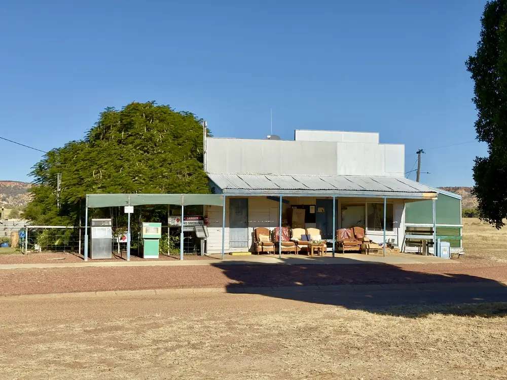
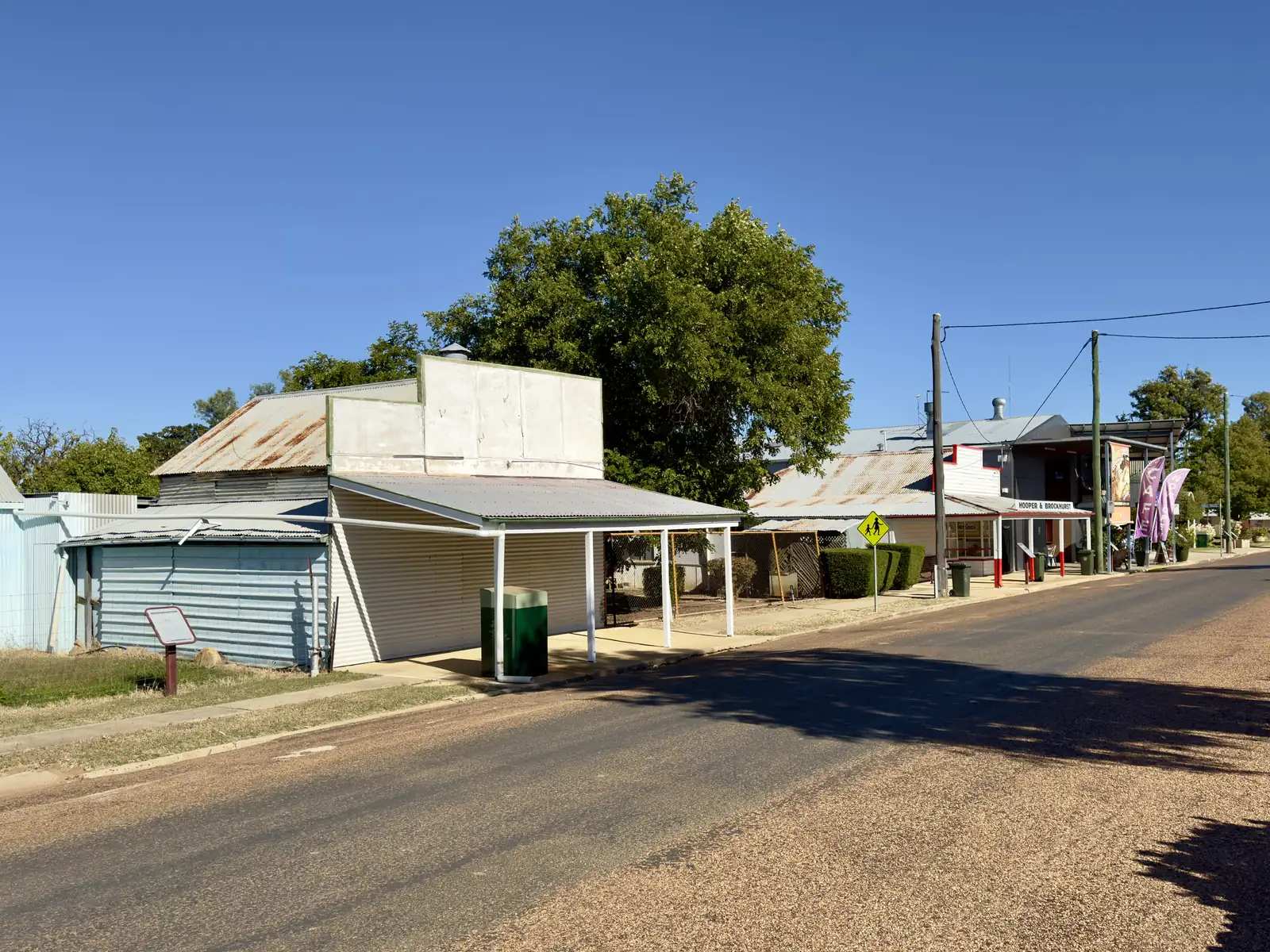
Former petrol station in YarakaPhoto: Chris Olszewski · CC BY-SA 4.0 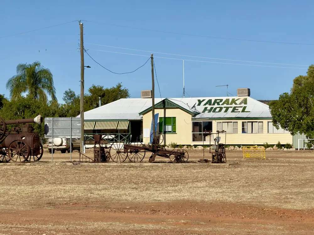
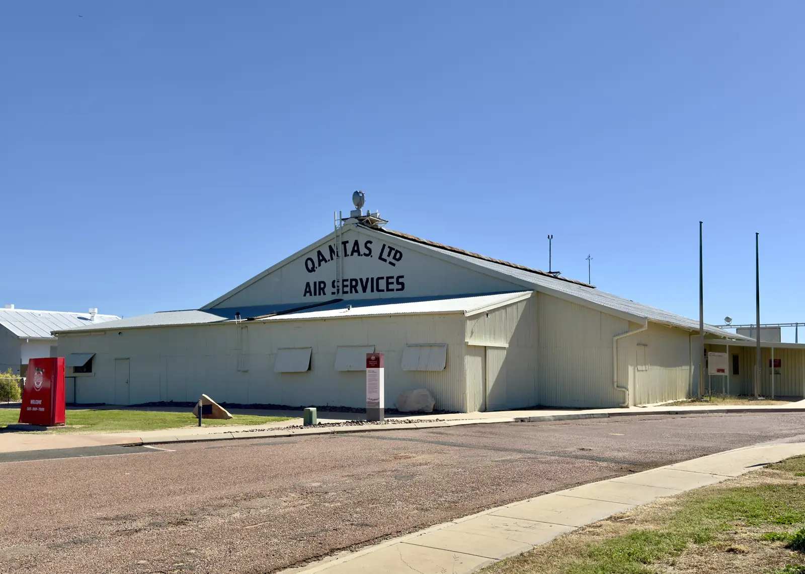
Old rusty machines outside Yaraka HotelPhoto: Chris Olszewski · CC BY-SA 4.0 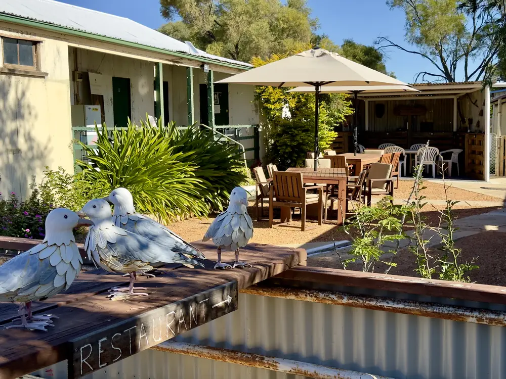
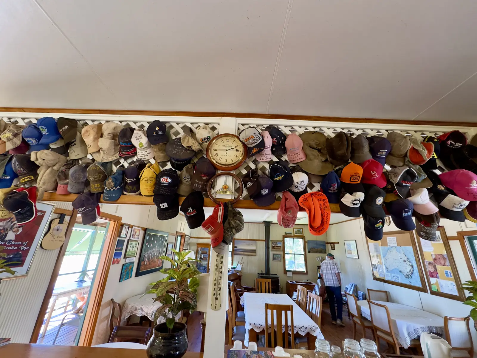
Yaraka Hotel front yardPhoto: Chris Olszewski · CC BY-SA 4.0
Yaraka is a tiny Longreach Region locality in Queensland’s central west, south of Isisford on the Isisford Yaraka River Road. Outback Queensland puts the township 100 km from Isisford, nestled between Mesa Hills with the Yang Yang Ranges behind it. The same organisation’s stay list prints named Longreach parks at 161 km and named Windorah stays at 155 km. Travellers stop for Mount Slowcombe, a tar-sealed mesa lookout with an electric barbecue, covered seating and toilets on those official pages. This is not a claim that Yaraka matches Longreach for fuel, rooms or a high street. You need QLDTraffic after rain, because a 100 km run to Isisford is no use if the river road is closed.
The Australian Bureau of Statistics does not publish a 2021 Urban Centre (UCL) named Yaraka, and it does not publish a 2021 suburbs-and-localities (SAL) named Yaraka. Census night was 10 August 2021. Do not paste Isisford SAL31416 (218 people) into this hub as a Yaraka-only population. That figure is Isisford’s Census geography. A locality this small does not have a strip of services this guide can invent.
Where it is, and how far
Yaraka sits south-west of Isisford, west of Blackall, and north of the Welford southern approach. Queensland Parks’ Welford visiting-safely page: from Blackall (260 km) drive south-west to Yaraka then continue on the Yaraka–Retreat Road, or enter from Quilpie (253 km) and Windorah (110 km) via the Diamantina Developmental Road connecting with the Jundah–Quilpie Road.
Experience Longreach’s 2021 Yaraka map PDF marks Mount Slowcombe Lookout, a historic railway station and a cemetery, and points toward Windorah, Welford National Park and Magee’s Shanty. This hub names those mapped labels. It does not invent kilometres between the townsite and each pin.
| Place | Distance from Yaraka (sourced) |
|---|---|
| Isisford | 100 km (Outback Queensland town page) |
| Powell Creek (named stay) | 52 km (Outback Queensland stay list) |
| Windorah (named hotel and caravan park) | 155 km (Outback Queensland stay list) |
| Longreach (named parks) | 161 km (Outback Queensland stay list) |
| Lara Wetlands | 168 km (Outback Queensland stay list) |
| Idalia National Park | approximately 126 km (Queensland Parks — nearest fuel and supplies from the park, not a separate town-to-gate figure on that page) |
Jundah is the Welford northern-approach town (45 km from that park on Parks). This hub does not invent a Yaraka–Jundah kilometre. The Matilda Way is the sealed Landsborough spine through Blackall and Longreach nearby — not a claim that Yaraka itself is on that highway.
Facts at a glance
Population. No 2021 UCL. No 2021 SAL named Yaraka. Do not use Isisford SAL31416 as a Yaraka-only count. There is no Census QuickStats page this hub can link for a Yaraka figure.
Climate. BOM’s Queensland rainfall list (product IDCJMC0014, 18 November 2026) records YARAKA STATE SCHOOL, 036093 at about 24.8861°S, 144.0756°E, January 1954–August 2014 (52.6 years). BOM does not publish a monthly climate-averages table for that site — the cw_036093 averages URL returns 404. The nearest published open table is Isisford Post Office, 036026, 100 km on Outback Queensland: commenced 1885, elevation 203 m, status open. Mean maximum (110 years, 1913–2026): December 37.1 °C, July 22.8 °C, annual 30.9 °C. Mean rainfall (138 years, 1885–2026): annual 448.0 mm; February 71.8 mm wettest mean month; August 12.2 mm driest. BOM Isisford Post Office. See Yaraka weather.
Visitor information. No Yaraka VIC on the sourced pages. Isisford Visitor Information Centre, 20 St Mary Street. Longreach Explore Centre, 99A Qantas Park, Eagle Street, Longreach, (07) 4658 4141 or (07) 4658 4142, experience@longreach.qld.gov.au.
Drinking water. Longreach Regional Council’s homepage, fetched for this guide, carried a public notice YARAKA BOIL WATER ALERT published 16 November 2026: a boil-water alert in effect due to higher-than-normal turbidity in the treated water supply. Treat that as a check-current-notices fact, not a permanent town character. Open Longreach Regional Council before you drink town water.
Traditional Owners
This hub sits inside Longreach Regional Council. The Longreach town guide on this site names Iningai Country for Longreach on the Thomson. Experience Longreach’s Yaraka and accessibility pages do not print a separate nation label for the Yaraka townsite. This guide follows that caution rather than flattening several groups onto one street. Confirm wording you want on a plaque with the Isisford Visitor Information Centre or Longreach Explore Centre.
History
Outback Queensland and Experience Longreach describe Yaraka as a small township among mesa hills and the Yang Yang Ranges. Experience Longreach’s map still marks a historic railway station — Yaraka was a rail locality, not a Landsborough highway town. This hub does not invent opening years, cattle-truck tallies or school-closure dates that are not on those official tourism and council pages.
The sourced visitor story is the lookout, not a reconstructed boom-town street. If you want the Barcoo axle-and-ford story, that sits in Isisford at Whitman’s Museum, 100 km.
Things to do
Mount Slowcombe. Outback Queensland: accessible via a tar-sealed road; panoramic 360-degree views; covered seating, electric barbecue and toilet facilities. Experience Longreach’s nature page: tar-sealed road winding to the top, accessible even for cars; electric BBQ and covered seating; compared there to Queensland’s equivalent of the Northern Territory’s Kakadu — that comparison is their wording, not a ranking this site invented. Photograph sunrise or sunset if you have daylight and water. Isisford’s December mean maximum is 37.1 °C.
Historic railway station and cemetery — marked on Experience Longreach’s Yaraka map PDF. Confirm what you can enter. Do not treat a mapped pin as a staffed museum.
Town park amenities. Experience Longreach accessibility: swimming pool, amenities, BBQ, covered seating, tennis court and children’s playground beside powered caravan sites. Hours are not printed on that page. Ask at 20 St Mary Street.
Magee’s Shanty is named on the same map as a direction toward Windorah and Welford. This hub records the mapped name. It does not invent a poem, a ruin catalogue or a kilometre.
Idalia National Park and Welford are 4WD park days, not main-street attractions. Parks: Idalia nearest fuel and supplies include Yaraka at approximately 126 km. Welford’s southern entrance uses the Yaraka–Retreat Road after you have already driven to Yaraka from Blackall (260 km on that Parks sentence).
Where to stay
Official named types on the pages used here:
- Powered caravan sites in the township, small fee — Experience Longreach accessibility
- Powell Creek — 52 km on Outback Queensland’s stay list (Hipcamp / working cattle station as that list describes it)
- Windorah rooms and park — 155 km (Western Star Hotel/Motel; Windorah Caravan Park)
- Longreach rooms — 161 km on the same stay list
Outback Queensland’s Yaraka stay list does not start with an in-town hotel. This hub will not invent one. Confirm powered sites at (07) 4658 4141.
- How to choose: Yaraka accommodation
- Camping detail: Yaraka caravan parks
- Operator enquiries: feature your business
If Yaraka’s sites are full or closed, Isisford is 100 km and Longreach is 161 km on those lists. That is a distance fact, not a booking guarantee.
Caravan and camping
Vans use Yaraka as a mesa overnight, not as a highway dump-point town. The sourced in-town type is powered caravan sites for a small fee on Experience Longreach. Ask the Isisford or Longreach desk for stay limits, dump points and whether the pool amenities are open to travellers. Read Yaraka caravan parks and outback camping.
After rain, the river road and the Yaraka–Retreat Road are the constraint. QLDTraffic first. Do not treat Mount Slowcombe’s picnic barbecue as a legal overnight.
Fuel and services
A locality without a 2021 SAL count will not match Longreach for fuel choice, groceries or a hospital. This guide does not list bowser brands. Queensland Parks lists Yaraka among Idalia’s nearest fuel and supplies (approximately 126 km from that park). Outback Queensland’s stay list does not name an in-town servo. Confirm before you leave Isisford, Blackall or Longreach. Carry extra fuel if Parks and the VIC disagree the week you drive.
Check council notices for drinking water — the 16 November 2026 boil-water alert is the example that was live when this page was researched. For current questions, use Longreach Regional Council and (07) 4658 4141.
Road access
Yaraka is off the sealed Matilda Way. Reach it from Isisford on the Isisford Yaraka River Road (100 km on Outback Queensland), or as the named stop on Parks’ Welford southern approach from Blackall. Access roads to Idalia and Welford are mostly unsealed; a 4WD is recommended. Even small amounts of rain can make those park roads impassable.
After rain, check QLDTraffic and 13 19 40. Do not drive around closed signs to keep a lookout sunset. Parks: carry extra supplies — Idalia wording is 2 weeks if stranded.
Queensland Rail’s Spirit of the Outback serves Longreach, 161 km on the stay list. This hub does not invent a Yaraka passenger timetable. The mapped historic railway station is a visitor pin, not a live service.
Nearby parks and towns
Parks and named nature sites:
- Mount Slowcombe Lookout (Outback Queensland; Experience Longreach)
- Idalia National Park — Gowan Range, Monks Tank, 4WD; Parks 102 km south-west of Blackall
- Welford National Park — southern entrance via Yaraka–Retreat Road (Parks); Little Boomerang Waterhole camping on the Barcoo
- Yang Yang Ranges / mesa hills as the setting Outback Queensland names — not a separate park we invented
Towns on this site:
- Isisford — 100 km; Outer Barcoo Interpretation Centre, Big Yellowbelly, Oma Waterhole
- Longreach — 161 km; Hall of Fame, Qantas, Explore Centre
- Blackall — woolscour, Idalia approach
- Jundah — Thomson, Welford northern approach
- Stonehenge — Thomson Developmental Road
- Windorah — 155 km on the stay list; Channel Country
When to go, and how long
Isisford Post Office’s December mean maximum of 37.1 °C is hot for a mesa lookout at midday. July’s 22.8 °C mean maximum is the comfortable walking season on paper; July’s 6.7 °C mean minimum is why a van night needs a layer. Two hours at Mount Slowcombe and the town park is the minimum. A night lets you use the named powered sites if the VIC has confirmed they are open. Two nights only if you are adding Welford or Idalia and QLDTraffic agrees.
Queensland Parks recommends April to September for Idalia and Welford; summer temperatures on those park pages reach over 40 °C. A tiny locality with a short official list does not become a three-day resort because the lookout is good.
Operators who want a checked listing: feature your business. The listings slot on this hub stays empty until then.
Plan this trip
Tell us the dates, who you are travelling with and where you need help. We reply with planning notes for Yaraka — we are not a booking agent.
Events and road-conditions newsletter
Occasional notes on outback festivals, race days and official road-condition sources — not a daily blast. We use these details only to send the newsletter.
Queensland · Central West
Things to do in Yaraka
Things to do in Yaraka: Mount Slowcombe tar-sealed lookout, historic railway station and cemetery as mapped by Experience Longreach, plus Idalia and Welford as 4WD days. Tiny locality, sourced list only.
Read · 4 min
Queensland · Central West
Yaraka accommodation
Where to stay around Yaraka: powered caravan sites named by Experience Longreach, Powell Creek 52 km on Outback Queensland, and Isisford or Longreach rooms. No in-town motel is invented here.
Read · 3 min
Queensland · Central West
Yaraka caravan parks
Camping in Yaraka: powered caravan sites for a small fee as named by Experience Longreach. No extra in-town park is invented. Welford and Idalia are separate 4WD permit camps.
Read · 3 min
Queensland · Central West
Yaraka weather
Yaraka climate: BOM station 036093 has no monthly averages table. Use Isisford Post Office (036026), 100 km: December mean max 37.1 °C, July 22.8 °C, 448.0 mm rain.
Read · 5 min
Frequently asked questions
How far is Yaraka from Isisford and Longreach?
Outback Queensland’s Yaraka town page puts the township 100 km from Isisford. The same organisation’s Yaraka stay list prints named Longreach parks at 161 km and named Windorah stays at 155 km.
What is Yaraka’s population?
The ABS does not publish a 2021 Urban Centre (UCL) or suburbs-and-localities (SAL) named Yaraka. Census night was 10 August 2021. Do not treat Isisford SAL31416 (218 people) as a Yaraka-only count.
Where is the visitor centre?
There is no Yaraka visitor centre on the sourced pages. Use the Isisford Visitor Information Centre at 20 St Mary Street, or Longreach Explore Centre, (07) 4658 4141 or (07) 4658 4142, experience@longreach.qld.gov.au.
Can I camp at Yaraka?
Yes, as a named type. Experience Longreach’s accessibility page says the township offers powered caravan sites for a small fee, a swimming pool and amenities next to a park with BBQ, covered seating, tennis court and children’s playground. Confirm at the Isisford or Longreach desk.
What is the weather like in Yaraka?
BOM lists Yaraka State School (036093) as a rainfall station (January 1954–August 2014) but does not publish a monthly climate-averages table. Use Isisford Post Office (036026), 100 km on Outback Queensland: December mean maximum 37.1 °C, July 22.8 °C, annual rainfall 448.0 mm.
Is there fuel in Yaraka?
Queensland Parks’ Idalia visiting-safely page lists Yaraka (approximately 126 km from that park) among nearest fuel and supplies, with Blackall and Isisford. Outback Queensland’s Yaraka stay list does not name an in-town bowser. Confirm before you leave Isisford or Blackall. This hub does not list brands.
Sources and further reading
Facts on this page were checked against these primary and official sources. Conditions change — confirm before you travel or buy.
- Isisford 2021 Census QuickStats (SAL31416) — not a Yaraka town count — Australian Bureau of Statistics
- Climate statistics for Isisford Post Office (036026) — Bureau of Meteorology
- Queensland rainfall stations (IDCJMC0014) — Bureau of Meteorology
- Outback Queensland — Yaraka — Outback Queensland Tourism Association
- Experience Longreach — Accessibility (Emmet & Yaraka) — Longreach Regional Council (Experience Longreach)
- Experience Longreach — Nature (Mount Slowcombe) — Longreach Regional Council (Experience Longreach)
- Experience Longreach — Yaraka map (PDF) — Longreach Regional Council (Experience Longreach)
- Longreach Regional Council — Longreach Regional Council
- Longreach Regional Council — Visitors and Travellers — Longreach Regional Council
- Visiting Idalia safely — Queensland Parks and Wildlife Service
- Idalia National Park — Queensland Parks and Wildlife Service
- Visiting Welford safely — Queensland Parks and Wildlife Service
- Welford National Park — Queensland Parks and Wildlife Service
- QLDTraffic — Queensland Government