At a glance
Sourced facts only. Distances and services change — confirm before you travel.
- Population
- 83 people (SAL40311, 2021 Census)
- Local government
- Pastoral Unincorporated Area (Outback Communities Authority)
- Traditional Owners
- Adnyamathanha people named by Parks SA for Vulkathunha-Gammon Ranges National ParkOCA’s Copley page names the Copley Progress Association and Aroona Council as representing a majority Indigenous population. Confirm wording locally.
- Nearest regional city
- 6 km north of Leigh Creek South (Outback Communities Authority)
- Capital
- About 560 km north of Adelaide (Outback Communities Authority)
- Nearest fuel
- Confirm in Leigh Creek before the unsealed Arkaroola road.
- Nearest hospital or clinic
- Leigh Creek Health Service, Black Oak Drive, (08) 8678 6022 (SA Health). Emergencies 000.
- Mobile coverage
- Check Telstra and Optus coverage maps before travel; do not assume a signal.
- Best time to visit
- Cooler months on Leigh Creek Airport (017110): January mean max 36.0 °C, July 16.9 °C. Check DIT before the 130 km unsealed run.
Climate
Monthly means from the Bureau of Meteorology station Leigh Creek Airport (017110). This is not a forecast. BOM does not publish a Copley climate-averages table. Nearest open table used here is Leigh Creek Airport (OCA: Copley is 6 km north of Leigh Creek South). Temperature 43 years (1982–2026); rainfall 37 years (1982–2026).
| Month | Mean max (°C) | Mean min (°C) | Rainfall (mm) |
|---|---|---|---|
| Jan | 36.0 | 21.1 | 23.9 |
| Feb | 34.7 | 20.5 | 25.1 |
| Mar | 31.5 | 17.7 | 20.2 |
| Apr | 26.5 | 13.1 | 13.6 |
| May | 21.1 | 8.8 | 15.9 |
| Jun | 17.2 | 5.6 | 16.9 |
| Jul | 16.9 | 4.8 | 14.1 |
| Aug | 19.4 | 6.3 | 16.4 |
| Sep | 23.7 | 9.5 | 15.7 |
| Oct | 27.3 | 12.8 | 18.9 |
| Nov | 30.8 | 16.2 | 18.9 |
| Dec | 33.6 | 18.9 | 19.9 |
Copley in pictures
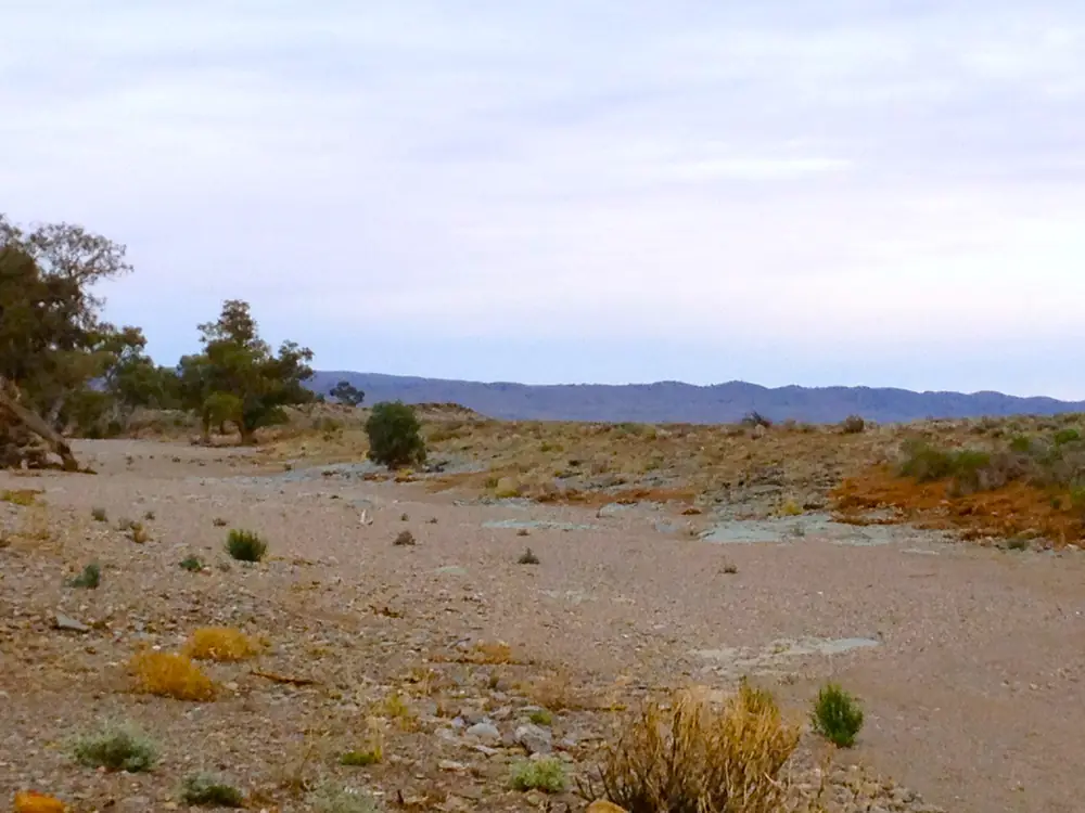
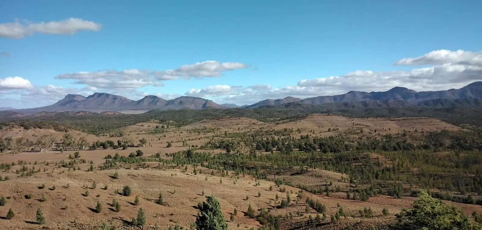
Creek Crossing near Copley SAPhoto: Joy Engelman · CC BY-SA 3.0 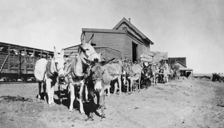
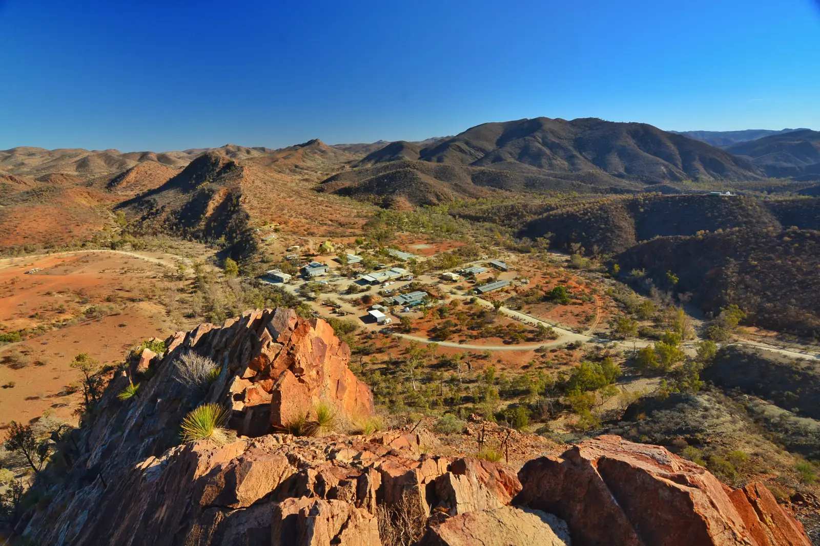
Donkeys and drays at Copley station, Central Australia Railway, ca 1920 (SLSA B 34910)Photo: Unknown authorUnknown author · Public domain 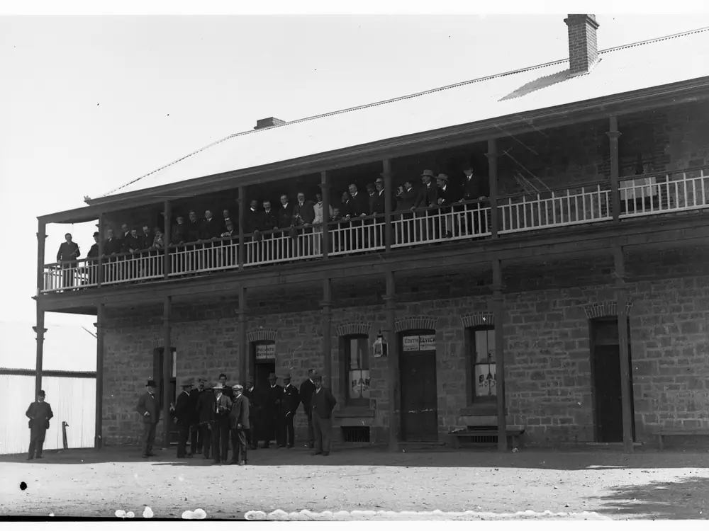
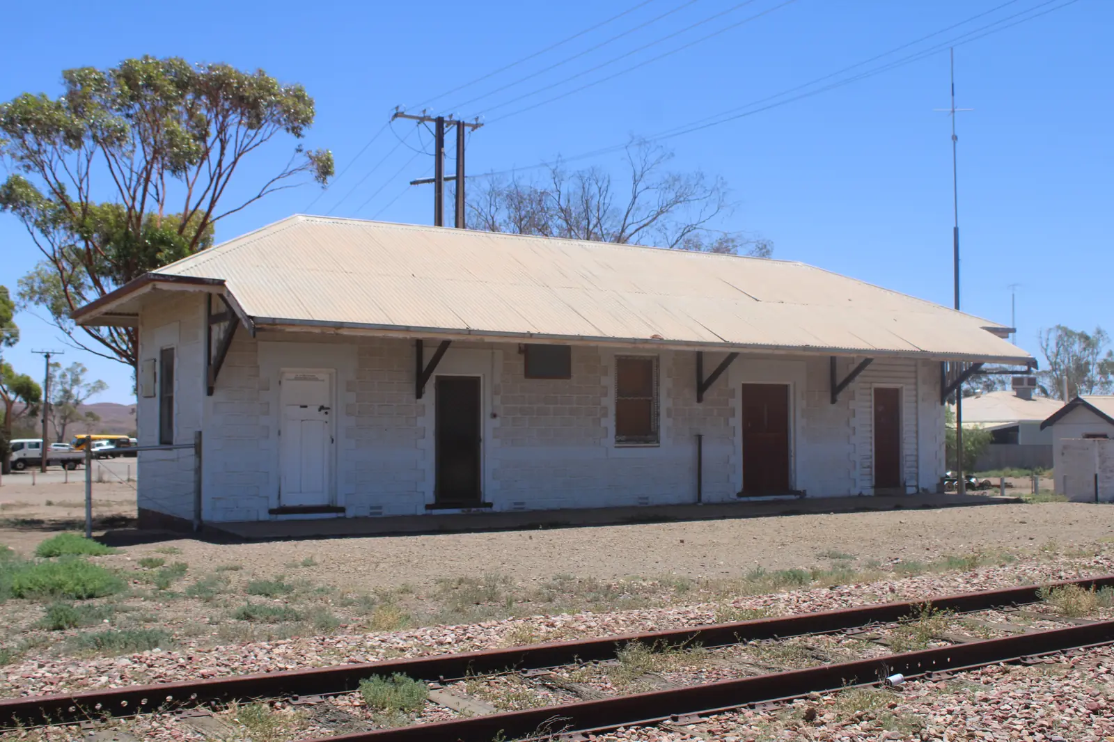
Leigh Creek Hotel part of Parliamentary Visit(GN13958)Photo: State Government Photographer · CC0
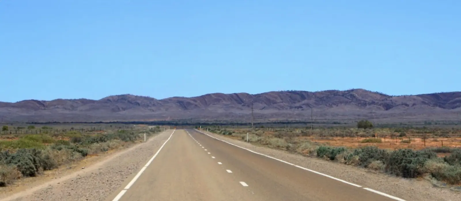
Copley is the sealed-road turnoff most travellers use for the unsealed run to Arkaroola and Vulkathunha-Gammon Ranges National Park. The Outback Communities Authority’s Copley page puts it 6 km north of Leigh Creek South and about 560 km north of Adelaide, on Adnyamathanha Country. Arkaroola’s getting-here page lists about 130 km unsealed from Copley (about 2 hours). SATC’s Best of Flinders Ranges itinerary matches that 130 kilometres / about 2 hours figure. This site files it with Flinders Ranges towns, not as a Stuart Highway stop.
The Australian Bureau of Statistics does not publish a 2021 Urban Centre (UCL) named Copley. Use suburbs-and-localities SAL40311: 83 people, median age 41, sex split 54.0% male / 46.0% female. QuickStats notes limited tables because of the small population. 14 families, 76 private dwellings.
This is not a Flinders Ranges Council suburb. The council seat is Quorn. Copley sits in the Pastoral Unincorporated Area under the Outback Communities Authority. The OCA page names the Copley Progress Association and Aroona Council as representing a majority Indigenous population. Use OCA, Parks SA, SATC and DIT for the town; use FRC only for the southern Flinders gateway.
Where it is, and how far
Copley sits on the sealed northern Flinders road immediately north of Leigh Creek. South, the same sealed spine runs through Beltana toward Parachilna and Hawker. SATC’s itinerary lists Copley to Parachilna at 70 kilometres (about 45 minutes). North, Lyndhurst is the start of the Strzelecki Track on that town’s own guide — this hub does not invent a Copley–Lyndhurst kilometre.
East, the unsealed public road is the Arkaroola and park approach. Arkaroola: ~130 km unsealed, about 2 hours. The same operator lists the Blinman road as 152 km of dirt. SATC lists Blinman to Arkaroola 155 km / about 3 hours. Blinman is a copper-town neighbour, not a sealed shortcut.
| Place | Distance from Copley (sourced) |
|---|---|
| Leigh Creek South | 6 km south (Outback Communities Authority Copley page) |
| Adelaide | about 560 km south (OCA Copley page) |
| Arkaroola | about 130 km unsealed / about 2 hours (Arkaroola getting-here; SATC itinerary) |
| Parachilna | 70 km / about 45 minutes (SATC Best of Flinders Ranges itinerary) |
| Leigh Creek Airport (BOM open station) | 30.60°S 138.42°E — climate table for this town, not a published town-to-airport drive time |
Do not add Hawker’s 370 km from Adelaide (Hawker guide) to anything and call it a Copley figure. Use OCA’s about 560 km.
Facts at a glance
Population. ABS 2021 Census, Suburbs and Localities SAL40311: 83 people. Median age 41. 14 families, 76 private dwellings. No UCL. Use the Copley SAL QuickStats.
Climate. Bureau of Meteorology does not publish a Copley climate-averages table. Use LEIGH CREEK AIRPORT, 017110, 30.60°S, 138.42°E, elevation 259 m, commenced 1982, status open, latest data 14 Nov 2026 on the table fetched for this guide. Mean maximum (43 years, 1982–2026): January 36.0 °C, July 16.9 °C, annual 26.6 °C. Mean minimum: January 21.1 °C, July 4.8 °C, annual 12.9 °C. Mean rainfall (37 years, 1982–2026): annual 212.8 mm. Mean days of rain ≥ 1 mm: 28.8. See Copley weather.
Visitor information. OCA’s Copley directory is the community page. Leigh Creek is the service town 6 km south. SATC’s Flinders Ranges Visitor Information Centre is at the station in Quorn. Confirm unsealed roads with DIT outback road warnings and 1300 361 033.
Traditional Owners
This is Adnyamathanha Country. Parks SA’s Vulkathunha-Gammon Ranges National Park page states that park is traditional country of the Adnyamathanha people and has been co-managed with them since 2010. Parks SA’s Ikara-Flinders Ranges National Park page states that park is jointly managed with the Adnyamathanha people. Ikara is the Adnyamathanha name for Wilpena Pound. This hub follows those official sentences. It does not invent a Copley-only nation label that Parks SA does not print.
The OCA Copley page names the Copley Progress Association and Aroona Council as representing a majority Indigenous population. Nepabunna is the Adnyamathanha community east of Copley on the Arkaroola road, named on this site’s Leigh Creek guide as the park approach — stay on the public road unless a community or Parks SA product has booked you in. See visiting Country respectfully.
History
Copley is the small northern settlement that stayed on the highway when Leigh Creek was planned as the coal town. Leigh Creek’s own guide records coal from the 1940s, a town move in the early 1980s, and mining ending in 2015. Copley’s Census geography is a separate SAL of 83 people. This hub does not invent a founding year, a railway opening date, or a visitor count that OCA and SATC do not print for Copley.
The OCA page is the warrant to name the Progress Association and Aroona Council. SATC’s itinerary is the warrant to treat Copley as the Arkaroola–Parachilna sealed-road hinge (130 km east unsealed, 70 km south sealed). The Strzelecki story belongs at Lyndhurst, not as a Copley main-street museum.
Things to do
Arkaroola access. Arkaroola’s getting-here page is the named reason many travellers stop in Copley: about 130 km unsealed, about 2 hours. Ridgetop tours, walks and the observatory live on the Arkaroola locality guide. Hire-car policies often exclude unsealed roads — the operator prints that warning. Check DIT.
Vulkathunha-Gammon Ranges National Park. Parks SA’s access for this northern park is via Copley, not as a stroll from Leigh Creek’s shopping centre. Co-managed with the Adnyamathanha people since 2010. Walks, camping and closures belong on the park guide.
Leigh Creek services, 6 km south. Fuel, rooms and a hospital conversation belong in Leigh Creek, not as invented Copley businesses. This site’s Leigh Creek guide also names Aroona Dam near that town — confirm Parks SA closures before you treat the dam as open.
Northern sealed spine. Beltana is the State Heritage town to the south. Parachilna is 70 km on SATC’s sheet. Blinman is the copper town via gorge or via Arkaroola dirt — two different roads, both DIT questions.
Where to stay
This hub does not invent a Copley motel chain, a bakery tariff, or a star rating. Named stay types on official pages used here:
- Leigh Creek hotel, resort-style rooms, caravan park and camping — 6 km south on the OCA distance; see that town’s guide
- Arkaroola — cabins, camping and sanctuary rooms on the operator’s pages, ~130 km unsealed
- Park camping in Vulkathunha-Gammon Ranges — Parks SA, not a town park
If you need a roof without committing to dirt, stay in Leigh Creek and day-trip only when DIT agrees. Hawker is the southern Flinders overflow.
- How to choose: Copley accommodation
- Camping detail: Copley caravan parks
- Operator enquiries: feature your business
Caravan and camping
A van can sit on the sealed northern Flinders road through Copley in ordinary weather. The 130 km to Arkaroola is unsealed. Towing onto that corridor is a DIT and vehicle question, not an OCA van-park guarantee. Leigh Creek’s caravan park, 6 km south, is the named sealed-road park on that town’s hub. Park camps in Vulkathunha are park camps. Read Copley caravan parks and outback camping.
Do not drive around a closed sign to keep a sanctuary booking. 1300 361 033.
Fuel and services
A locality of 83 people will not match Leigh Creek for fuel, groceries or a hospital. This guide does not list bowser brands or invent a bakery as a supermarket. Fill in Leigh Creek (6 km) before you leave the seal. Hawker Memorial Hospital (08 8648 4007) is on the Hawker guide for the southern ranges; Leigh Creek is the closer northern service town. For current questions use OCA, Traffic SA and DIT.
Road access
Sealed from Adelaide via Port Augusta, Hawker, Parachilna and Beltana to Leigh Creek and Copley. Traffic SA is the sealed-road source. Unsealed east to Arkaroola and Vulkathunha: Arkaroola ~130 km, DIT outback warnings, hire-car exclusions. Unsealed north from Lyndhurst: Strzelecki Track — not a Copley main-street road. SATC’s 70 km Copley–Parachilna is the southern sealed figure used here.
Our Flinders Ranges itinerary is the regional road-trip page. Do not invent a path to Wilpena as a Copley town hub — Wilpena is park and resort inside Ikara-Flinders Ranges National Park.
Nearby parks and towns
Parks and named nature sites:
- Vulkathunha-Gammon Ranges National Park — Adnyamathanha Country, co-managed since 2010; Copley is the highway hinge
- Arkaroola wilderness sanctuary — ~130 km unsealed
- Ikara-Flinders Ranges National Park — further south via Hawker; jointly managed with the Adnyamathanha people. Wilpena Pound is the park, not a Wave 5 town hub
- Strzelecki Track via Lyndhurst
Towns on this site:
- Leigh Creek — 6 km south, services
- Lyndhurst — Strzelecki start
- Beltana — State Heritage town
- Arkaroola — sanctuary locality
- Blinman — northern copper town
- Parachilna — 70 km on SATC’s sheet
- Hawker and Quorn — southern service and council seat
When to go, and how long
Leigh Creek Airport’s January mean maximum of 36.0 °C (43 years, 1982–2026) is hot for a 130 km unsealed run with no invented roadhouse count on this page. July’s 16.9 °C mean maximum and 4.8 °C mean minimum are the walking season on paper and the reason a park camp needs a layer. Annual rain 212.8 mm still arrives in bursts that close the Arkaroola road. SATC’s Explorers Way note that some Flinders places close mid December to mid February belongs in your sanctuary and park booking call.
A fuel-and-turnoff stop is minutes if you are only heading north to Lyndhurst. A park or Arkaroola day is a second itinerary, only if DIT has already said the dirt is open. Two nights in Leigh Creek is the honest base for Vulkathunha; Copley’s 83 people are not a resort town.
Operators who want a checked listing: feature your business. The listings slot on this hub stays empty until then.
Plan this trip
Tell us the dates, who you are travelling with and where you need help. We reply with planning notes for Copley — we are not a booking agent.
Events and road-conditions newsletter
Occasional notes on outback festivals, race days and official road-condition sources — not a daily blast. We use these details only to send the newsletter.
South Australia · Flinders Ranges
Copley accommodation
Where to stay around Copley SA from OCA, Leigh Creek and Arkaroola pages: hotel and caravan park 6 km south at Leigh Creek, sanctuary beds 130 km unsealed at Arkaroola, park camping in Vulkathunha.
Read · 4 min
South Australia · Flinders Ranges
Copley caravan parks
Caravan and camping around Copley SA: Leigh Creek caravan park 6 km south on the OCA distance, Arkaroola camping about 130 km unsealed, Parks SA camps in Vulkathunha-Gammon Ranges.
Read · 3 min
South Australia · Flinders Ranges
Copley weather
Copley climate from BOM Leigh Creek Airport (017110): January mean max 36.0 °C, July 16.9 °C, annual rainfall 212.8 mm. No Copley-named table. DIT for the 130 km unsealed Arkaroola road.
Read · 3 min
South Australia · Flinders Ranges
Things to do in Copley
Copley things to do from OCA, SATC, Parks SA and Arkaroola: the 130 km unsealed run to Arkaroola, Vulkathunha-Gammon Ranges National Park, and Leigh Creek 6 km south.
Read · 3 min
Frequently asked questions
How far is Copley from Leigh Creek, Adelaide and Arkaroola?
The Outback Communities Authority’s Copley page puts the town 6 km north of Leigh Creek South and about 560 km north of Adelaide. Arkaroola’s getting-here page lists Copley about 130 km unsealed (about 2 hours). SATC’s Best of Flinders Ranges itinerary lists Arkaroola to Copley at 130 kilometres (about 2 hours) and Copley to Parachilna at 70 kilometres (about 45 minutes).
What is Copley’s population?
83 people at the 2021 Census for Copley suburbs-and-localities (SAL40311). The ABS does not publish a 2021 Urban Centre (UCL) named Copley. QuickStats notes limited tables because of the small population.
Whose Country is this?
Parks SA’s Vulkathunha-Gammon Ranges National Park page states that park is traditional country of the Adnyamathanha people and has been co-managed with them since 2010. Parks SA’s Ikara-Flinders Ranges National Park page states that park is jointly managed with the Adnyamathanha people. This hub follows those official sentences. The OCA Copley page names the Copley Progress Association and Aroona Council as representing a majority Indigenous population.
What weather record should I use?
BOM does not publish a Copley climate-averages table on the South Australia site-name list. Use Leigh Creek Airport (017110), 30.60°S 138.42°E, elevation 259 m, open: January mean maximum 36.0 °C, July 16.9 °C, annual rainfall 212.8 mm (37 years, 1982–2026).
Do I need a 4WD for Arkaroola from Copley?
Arkaroola’s getting-here page lists about 130 km unsealed from Copley (about 2 hours) and warns that hire-car policies often exclude unsealed roads. Check DIT outback road warnings (1300 361 033) the day you drive. This hub does not invent a 2WD rating.
Sources and further reading
Facts on this page were checked against these primary and official sources. Conditions change — confirm before you travel or buy.
- Copley 2021 Census QuickStats (SAL40311) — Australian Bureau of Statistics
- Climate statistics for Leigh Creek Airport (017110) — Bureau of Meteorology
- Copley — Outback Communities Authority
- Getting to Arkaroola Village — Arkaroola
- Best of Flinders Ranges self-drive itinerary — South Australian Tourism Commission
- Vulkathunha-Gammon Ranges National Park — National Parks and Wildlife Service SA
- Ikara-Flinders Ranges National Park — National Parks and Wildlife Service SA
- Outback road warnings — Department for Infrastructure and Transport SA
- Traffic SA — Government of South Australia
- The Flinders Ranges Council — The Flinders Ranges Council