At a glance
Sourced facts only. Distances and services change — confirm before you travel.
- Population
- 32 people (SAL40040, 2021 Census)
- Local government
- Pastoral Unincorporated Area
- Traditional Owners
- Adnyamathanha people named by Parks SA for adjoining Vulkathunha-Gammon Ranges National ParkArkaroola is a private sanctuary, not a city. Parks SA: the park is traditional country of the Adnyamathanha people, co-managed since 2010.
- Nearest regional city
- About 130 km unsealed from Copley; about 2 hours from Leigh Creek via Nipapanha (Arkaroola getting-here)
- Capital
- 600 km north of Adelaide (Arkaroola getting-here)
- Nearest fuel
- SATC lists a fuel outlet at the village; fill at Leigh Creek as well. Confirm hours.
- Mobile coverage
- Parks SA: no mobile phone coverage in Vulkathunha. Check Telstra and Optus maps; do not assume a signal.
- Best time to visit
- Cooler BOM months; SATC Explorers Way notes some places close mid December–mid February. January mean max 34.5 °C.
Climate
Monthly means from the Bureau of Meteorology station Arkaroola (017099). This is not a forecast. Open. Mean maxima 43 years (1977–2026); rainfall 87 years (1938–2026). Elevation 318 m. January mean maximum 34.5 °C; July 16.6 °C; annual rainfall 253.0 mm.
| Month | Mean max (°C) | Mean min (°C) | Rainfall (mm) |
|---|---|---|---|
| Jan | 34.5 | 20.3 | 34.2 |
| Feb | 33.3 | 19.5 | 39.2 |
| Mar | 29.9 | 16.0 | 30.5 |
| Apr | 25.3 | 11.2 | 14.6 |
| May | 20.3 | 7.2 | 16.8 |
| Jun | 16.8 | 4.4 | 14.7 |
| Jul | 16.6 | 3.3 | 14.4 |
| Aug | 19.2 | 4.7 | 15.0 |
| Sep | 23.4 | 8.0 | 14.7 |
| Oct | 26.7 | 11.6 | 18.7 |
| Nov | 30.3 | 15.5 | 18.3 |
| Dec | 32.8 | 17.8 | 25.2 |
Arkaroola in pictures
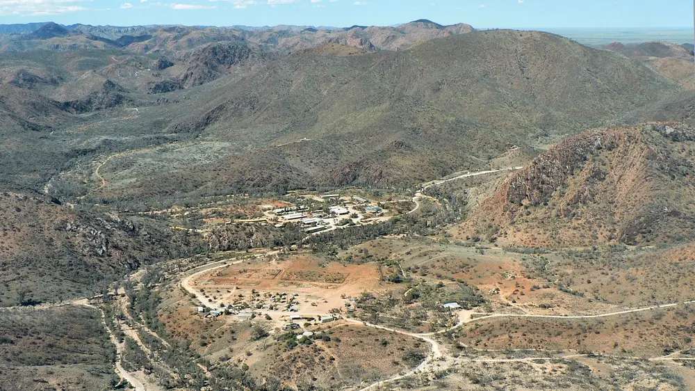
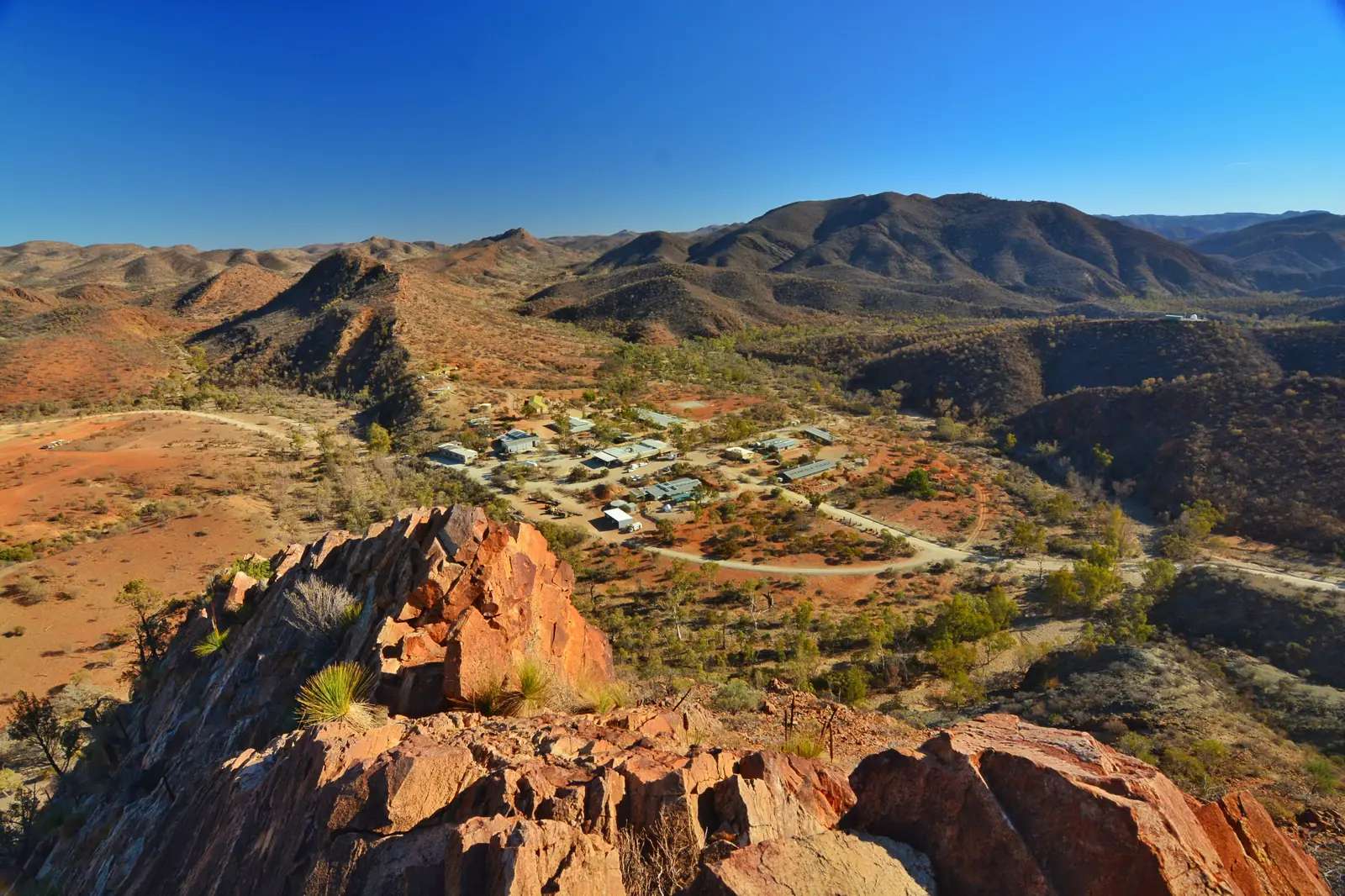
Arkaroola Tourist VillagePhoto: Always 16x9 · CC BY-SA 4.0 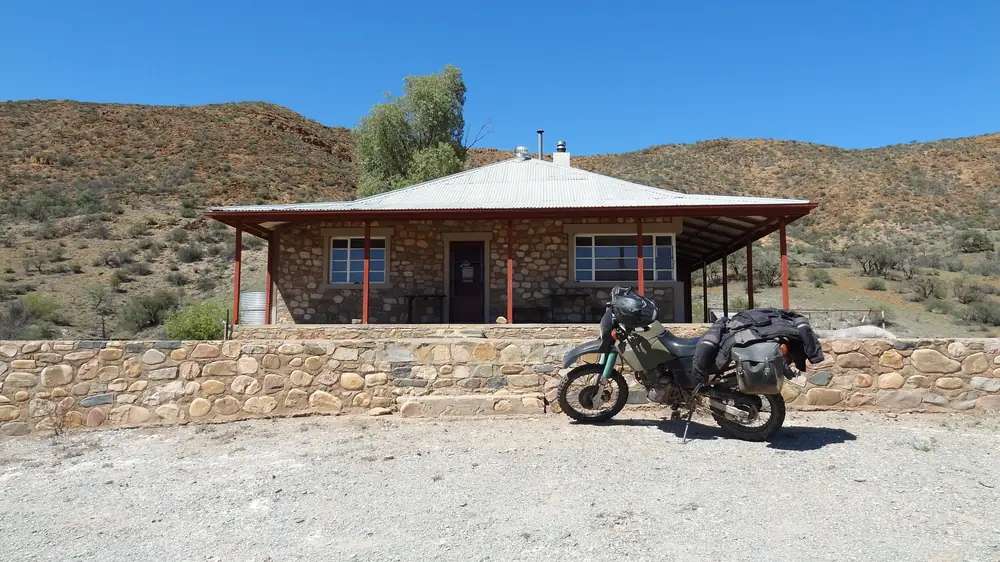
Hut in the Arkaroola Wildlife SanctuaryPhoto: Brett · CC BY-SA 2.0 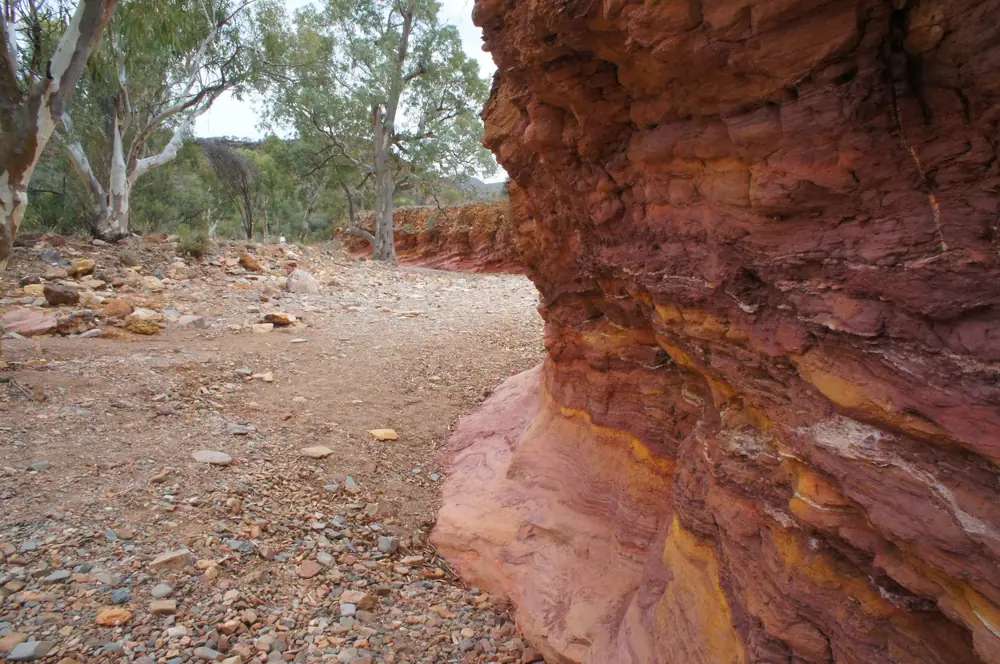
Ochre walls in the Arkaroola Wildlife SanctuaryPhoto: Joy Engelman · CC BY-SA 3.0 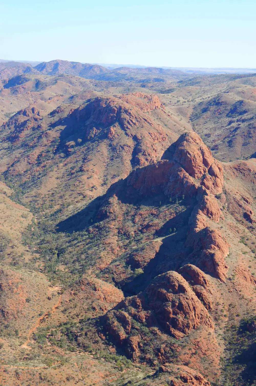
Rugged hills in the Arkaroola Wildlife SanctuaryPhoto: Joy Engelman · CC BY-SA 3.0
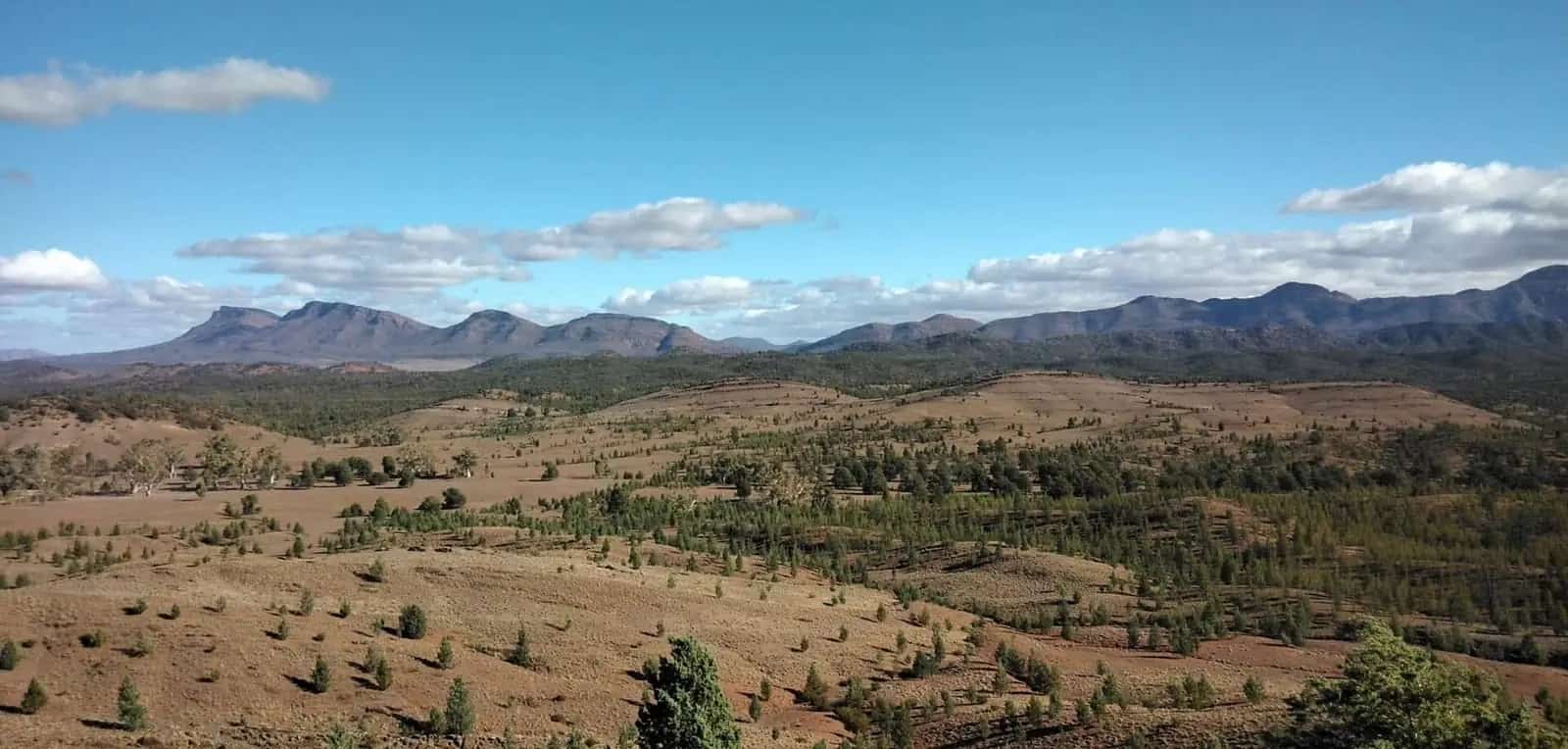
Arkaroola is a private wilderness sanctuary in the northern Flinders Ranges, not a city. The operator’s home page places it 600 km north of Adelaide, covers 610 km², and dates the Sprigg-family sanctuary to 1968. The Australian Bureau of Statistics publishes no 2021 Urban Centre named Arkaroola. Use suburbs-and-localities SAL40040: 32 people. QuickStats notes limited tables because of the small population.
This site already has an Arkaroola tour guide. This hub is the town / locality page in the Flinders Ranges directory. It repeats official access and permit sentences. It does not invent 4WD track names.
Where it is, and how far
Arkaroola Village is east of Leigh Creek and Copley, adjoining Vulkathunha-Gammon Ranges National Park. Parks SA puts that park 660 km north of Adelaide and 100 km east of Leigh Creek. DEW’s Arkaroola page describes the Arkaroola Protection Area (most of the pastoral lease plus Mawson Plateau country) as about 590 km², with the same legal status in South Australia as a national park under the Arkaroola Protection Act 2012. Heritage SA’s State Heritage Place boundary does not include the Village.
| Place | Official note |
|---|---|
| Adelaide | 600 km north (Arkaroola getting-here) |
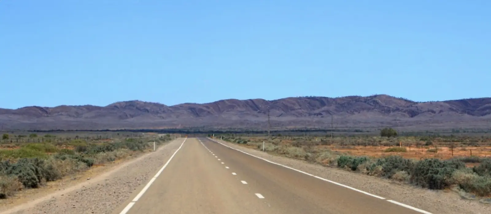
| Copley / Leigh Creek road | About 130 km unsealed from Copley; about 2 hours from Leigh Creek via Nipapanha (Nepabunna) (Arkaroola getting-here) |
| Blinman road | 152 km of dirt; about 2.5 hours from Blinman, 3 hours from Wilpena (Arkaroola getting-here) |
| Vulkathunha-Gammon Ranges NP | 660 km north of Adelaide; 100 km east of Leigh Creek (Parks SA) |
Arkaroola also names more remote approaches via Yunta on the Barrier Highway and via the Strzelecki Track, Mt Hopeless and Balcanoona, and says those routes require you to be prepared and do your homework. This hub does not turn that sentence into a track notesheet.
Unsealed access is a DIT outback road warnings problem. Parks SA also prints the Outback Road Report 1300 361 033. Sealed country back to Hawker and Port Augusta is Traffic SA.
Facts at a glance
Population. ABS 2021 SAL40040: 32 people, 50.0% male / 50.0% female, median age 38, 3 families, 37 private dwellings. No UCL. Use the Arkaroola SAL QuickStats. Limited tables because of the small population.
Climate. Bureau of Meteorology ARKAROOLA, 017099, 30.31°S, 139.34°E, elevation 318 m, commenced 1938, status open. Mean maxima 43 years (1977–2026): January 34.5 °C, July 16.6 °C, annual 25.8 °C. Mean minima: January 20.3 °C, July 3.3 °C. Mean rainfall 87 years (1938–2026): annual 253.0 mm; February 39.2 mm wettest mean month. Full columns: Arkaroola weather.
Visitor information. SATC lists a visitor information centre among village facilities. Operator phone 08 8648 4848, res@arkaroola.com.au, 2948 Arkaroola Road, Arkaroola Village 5701. Parks SA Vulkathunha headquarters is at Balcanoona, 08 8648 4829.
Traditional Owners and permits
Parks SA: Vulkathunha-Gammon Ranges National Park is traditional country of the Adnyamathanha people, co-managed since 2010. Yellow-footed rock-wallabies are andu in the Adnyamathanha language on that page. The Adnyamathanha community manages Nantawarrina Indigenous Protected Area adjoining the park’s southern boundary; access is by permit from the community — Parks SA phone (+61 8) 8648 3764.
Arkaroola’s getting-here page is the sanctuary permit sentence used here, quoted as published: National Parks Permits are not required for Arkaroola, or for your travel to us. That is operator wording for the sanctuary and the road to the village. It is not a Parks SA pass for Vulkathunha campgrounds, and it is not a Nantawarrina permit.
DEW: the Protection Area meets IUCN category II; mining is prohibited under the Arkaroola Protection Act 2012 (in operation 26 April 2012). Heritage SA listed the Protection Area (not the Village) on 27 July 2012. Read visiting Country respectfully.
History, geology, sanctuary
Arkaroola’s home page: geological history reaching back almost 2 billion years; later brought to the world’s attention by Sir Douglas Mawson; sanctuary founded by the Sprigg family in 1968; first Flinders Ranges venue to gain Advanced Ecotourism Accreditation; third successive SA Tourism Award for ecotourism in 2007 put it in the Hall of Fame.
DEW: pastoral lease not stocked for over 30 years, managed for conservation and tourism; Protection Area announced 22 July 2011. Heritage SA lists geological monuments including Arkaroola Reef, Mount Gee and Mount Painter, Mawson Plateau, Tillite Gorge and Paralana Hot Springs as research and heritage values — not as a self-drive itinerary this hub invents.
Things to do
Official pages support:
- Ridgetop Tour — operator: premier attraction since 1969, 4WD across ridges to Sillers Lookout. SATC lists the tour and Ridgetop Sleepout packages. Book with Arkaroola. This hub does not describe unpublished side tracks.
- International Dark Sky Sanctuary — operator: stargazing from the village or astronomy tours.
- SATC-graded public access — SATC accommodation listing: 130 kilometres of graded public access tracks; short two-wheel-drive tracks to secluded waterholes, or more challenging four-wheel-drive tracks to lookouts. Ask at the village which tracks are open. Do not invent names.
- Vulkathunha-Gammon Ranges National Park — Parks SA free entry; most internal tracks 4WD; Weetootla Gorge track 2WD; Wortupa Loop and Lake Frome 4WD. Campgrounds named by Parks SA (Weetootla, Grindells Hut, Italowie, others). Check DIT after rain.
- Nantawarrina IPA — permit from the community, not a casual detour.
A fuller planning note is on things to do in Arkaroola and the existing tour page.
Where to stay
SATC’s Arkaroola Wilderness Sanctuary Accommodation listing names air-conditioned motel lodges, a caravan park with powered and unpowered sites and bush camping, restaurant, bar, fuel outlet, barbecue facilities, swimming pool and visitor information centre. SATC camping product: 50 powered sites and a large area of non-powered sites; coin laundry; ablution block; camp kitchen. SATC price band on that product is a range, not a booking.
Stay types:
- Village lodges / motel rooms named by SATC and the operator
- Powered and unpowered caravan and camp sites (SATC)
- Ridgetop Sleepout as a SATC package type — not a DIY camp
- Parks SA campgrounds in Vulkathunha — park bookings, not village pads
How to choose: Arkaroola accommodation. Camping: Arkaroola caravan parks. Operators: feature your business.
If the village is full, Leigh Creek is the sealed-road service town before the 130 km dirt.
Caravan and camping
A van can reach Copley on sealed road, then faces about 130 km unsealed. Arkaroola warns that unsealed roads are a common hire-car exclusion. SATC names powered sites at the village. Parks SA names park campgrounds on Arkaroola Road turn-offs. Read Arkaroola caravan parks. Check DIT before you leave Copley after rain.
Fuel and services
SATC lists a fuel outlet at the village. The operator’s facilities page names diesel, unleaded and premium, a mechanical workshop including tyre repairs, and 100 LL avgas by arrangement. That is not a 24-hour servo guarantee. Fill at Leigh Creek as well. SATC lists a shop with basic snacks and drinks, Native Pine restaurant and Pick and Shovel Bar. A locality of 32 people will not match Port Augusta for groceries or a hospital. Parks SA: no mobile phone coverage in Vulkathunha.
Road access
Arkaroola’s getting-here page, quoted as types:
- Via Leigh Creek and Copley — about 130 km unsealed, generally maintained, about 2 hours from Leigh Creek via Nepabunna. The operator’s recommended approach for most visitors on this site’s tour page.
- Via Blinman — 152 km dirt; about 2.5 hours from Blinman, 3 hours from Wilpena.
- Via Yunta / Barrier Highway and via Strzelecki, Mt Hopeless and Balcanoona — operator: more remote; do your homework. This hub does not publish those as DIY itineraries.
Hire cars: check dirt-road terms. Parks SA: all main access roads to Vulkathunha are gravel and suitable for 2WD in dry weather; most tracks inside the park are 4WD; closures after wet weather. DIT outback warnings. Outback Road Report 1300 361 033.
The Strzelecki Track is a different road, starting at Lyndhurst, not the Copley–Arkaroola road.
Nearby parks and towns
Official landscape:
- Arkaroola Wilderness Sanctuary / Protection Area (operator, DEW, Heritage SA)
- Vulkathunha-Gammon Ranges National Park
- Nantawarrina IPA (permit)
- Ikara-Flinders Ranges National Park — central Flinders, via Hawker/Wilpena, not next door
Towns on this site:
- Leigh Creek — sealed-road base before the 130 km dirt
- Hawker — southern Flinders service town
- Parachilna — sealed western Flinders road
- Quorn — Pichi Richi gateway
- Lyndhurst — Strzelecki start
- Marree — sealed road north of Leigh Creek
- Andamooka — opal side trip, not on this dirt
- Port Augusta — supply city
Blinman and Nepabunna appear in official access wording. Use the Copley hub for the sealed-road jump named on the operator’s getting-here page.
When to go, and how long
BOM Arkaroola January mean maximum 34.5 °C and July 16.6 °C match the operator and SATC cooler-month advice. SATC’s Explorers Way notes some places close mid December to mid February. Roads close after rain regardless of the monthly mean.
The operator’s tour page on this site says allow at least two or three nights. A day trip from Leigh Creek is the 130 km dirt each way. Two nights if you have booked the Ridgetop Tour. Three if you add dark-sky and a Parks SA gorge. See Arkaroola weather.
Operators who want a checked listing: feature your business. The listings slot stays empty until then.
Plan this trip
Tell us the dates, who you are travelling with and where you need help. We reply with planning notes for Arkaroola — we are not a booking agent.
Events and road-conditions newsletter
Occasional notes on outback festivals, race days and official road-condition sources — not a daily blast. We use these details only to send the newsletter.
South Australia · Flinders Ranges
Arkaroola accommodation
Where to stay in Arkaroola: SATC lists motel lodges, powered and bush camps and Ridgetop Sleepout packages. Leigh Creek is the sealed-road fallback. No invented station stays or rates.
Read · 3 min
South Australia · Flinders Ranges
Arkaroola caravan parks
Camping at Arkaroola: SATC names 50 powered village sites and bush camping. Parks SA names Vulkathunha campgrounds. 130 km unsealed from Copley. Check DIT.
Read · 3 min
South Australia · Flinders Ranges
Arkaroola weather
Arkaroola climate from BOM Arkaroola (017099): January mean max 34.5 °C, July 16.6 °C, annual rainfall 253.0 mm. Open station. DIT decides the 130 km dirt, not the monthly mean.
Read · 3 min
South Australia · Flinders Ranges
Things to do in Arkaroola
Things to do in Arkaroola: official Ridgetop Tour and Dark Sky Sanctuary, SATC-graded public tracks, Vulkathunha-Gammon Ranges. No invented 4WD catalogue. Permits as published.
Read · 4 min
Frequently asked questions
Is Arkaroola a town or a city?
Neither in the usual sense. Arkaroola Wilderness Sanctuary’s own site describes a 610 km² sanctuary with a village. ABS 2021 Suburbs and Localities SAL40040 records 32 people. There is no 2021 Urban Centre named Arkaroola. This hub treats it as a northern Flinders sanctuary locality.
Do I need a national parks permit for Arkaroola?
Arkaroola’s getting-here page states: National Parks Permits are not required for Arkaroola, or for your travel to us. It is a private sanctuary. Vulkathunha-Gammon Ranges National Park next door is a Parks SA park (free entry on that park page). Nantawarrina Indigenous Protected Area adjoining the park’s southern boundary requires a permit from the Adnyamathanha community (Parks SA).
How far is Arkaroola from Adelaide and Copley?
Arkaroola’s getting-here page puts the sanctuary 600 km north of Adelaide. The Copley road is about 130 km, unsealed but generally maintained, about 2 hours from Leigh Creek via Nipapanha (Nepabunna). The Blinman road is 152 km of dirt, about 2.5 hours from Blinman or 3 hours from Wilpena. Confirm the day you drive.
Whose Country is this?
Parks SA’s Vulkathunha-Gammon Ranges National Park page states the park is traditional country of the Adnyamathanha people and has been co-managed with them since 2010. Arkaroola’s own site says the area features in creation stories of Indigenous Peoples. This hub follows those official sentences.
What weather record should I use?
BOM Arkaroola (017099), 30.31°S 139.34°E, elevation 318 m, commenced 1938, status open. January mean maximum 34.5 °C; July 16.6 °C; annual rainfall 253.0 mm (87 years, 1938–2026).
Sources and further reading
Facts on this page were checked against these primary and official sources. Conditions change — confirm before you travel or buy.
- Arkaroola 2021 Census QuickStats (SAL40040) — Australian Bureau of Statistics
- Climate statistics for Arkaroola (017099) — Bureau of Meteorology
- Arkaroola Wilderness Sanctuary — Arkaroola
- Getting to Arkaroola Village — Arkaroola
- Arkaroola Wilderness Sanctuary Accommodation — SATC — South Australian Tourism Commission
- Caravan and camping sites — SATC — South Australian Tourism Commission
- Department for Environment and Water — Arkaroola — Department for Environment and Water
- Arkaroola State Heritage Place — Heritage South Australia
- Vulkathunha-Gammon Ranges National Park — National Parks and Wildlife Service SA
- Ikara-Flinders Ranges National Park — National Parks and Wildlife Service SA
- Outback road warnings — Department for Infrastructure and Transport SA
- Traffic SA — Government of South Australia
- Explorers Way Road Trip — South Australian Tourism Commission