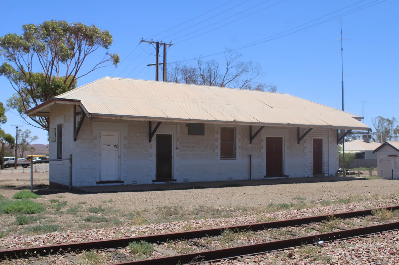
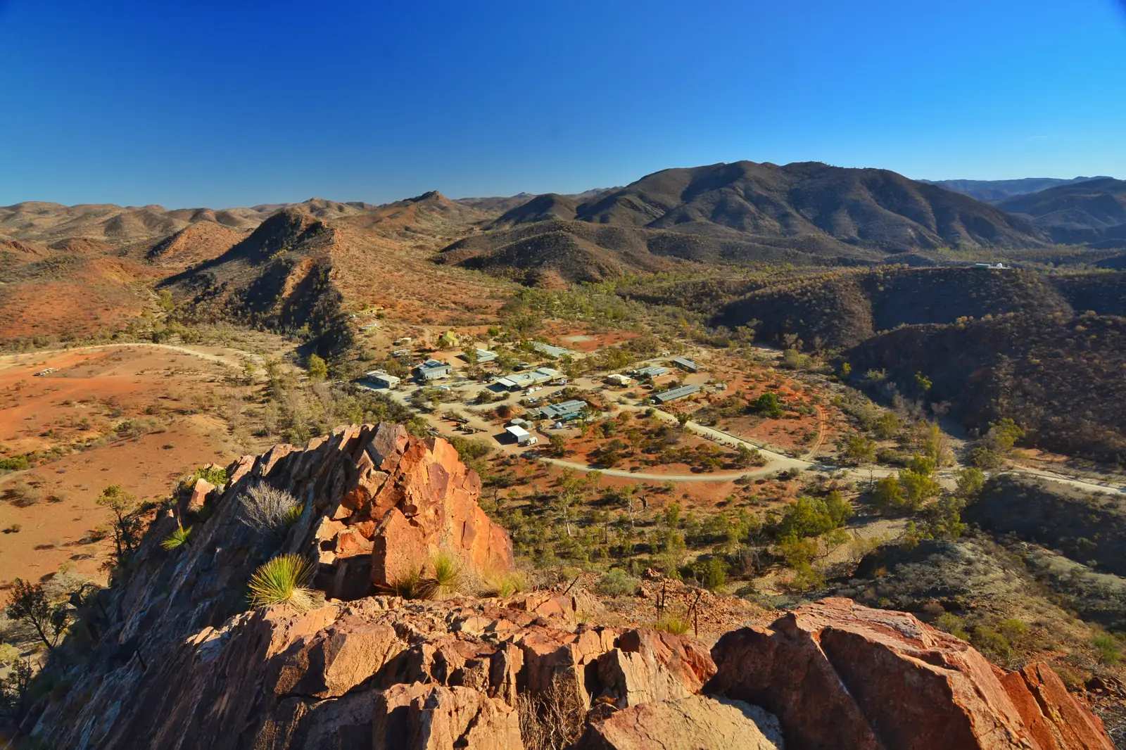
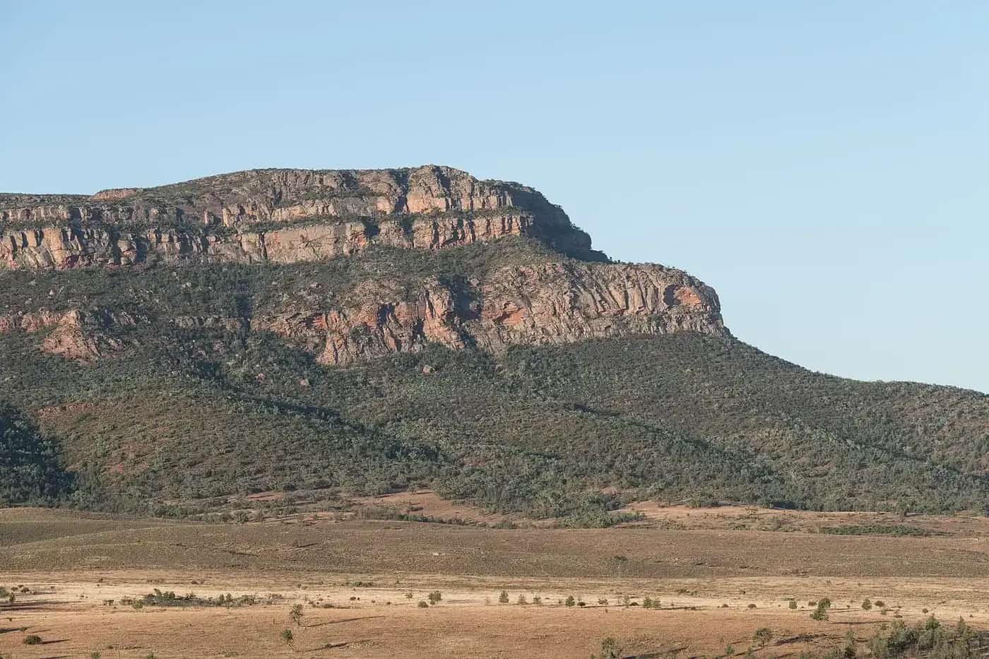
Copley at the 2021 Census is 83 people (SAL40311). The Outback Communities Authority puts it 6 km north of Leigh Creek South and about 560 km north of Adelaide. Travellers stop here because the public unsealed road east is the named approach to Arkaroola and Vulkathunha-Gammon Ranges National Park, not because this hub invents a main-street museum.
Operators: feature your business. Until a listing is checked, OCA, Parks SA, SATC and Arkaroola remain the public sources.
Arkaroola, about 130 km unsealed
Arkaroola’s getting-here page lists Copley about 130 km unsealed (about 2 hours). SATC’s Best of Flinders Ranges itinerary lists Arkaroola to Copley 130 kilometres (about 2 hours). Those two official figures agree. The same operator lists the Blinman road as 152 km of dirt. SATC lists Blinman to Arkaroola 155 km / about 3 hours. Blinman is a copper-town neighbour on a different dirt corridor.
Stay on the public road. Hire-car policies often exclude unsealed roads — Arkaroola prints that warning. Check DIT outback road warnings and 1300 361 033 the morning you leave, not the week you booked. Ridgetop tours, walks and the observatory belong on the Arkaroola locality guide, not as invented Copley day-spa products.
Vulkathunha-Gammon Ranges National Park
Parks SA states the park is traditional country of the Adnyamathanha people and has been co-managed with them since 2010. Copley is the highway hinge. Walks, camping, yellow-footed rock-wallabies and closures live on the park guide. This page does not invent a walk duration, a camping fee, or a 2WD rating Parks SA does not print on the pages used here.
Nepabunna is the Adnyamathanha community on the Arkaroola road, named on this site’s Leigh Creek guide. Stay on the public road unless a community or Parks SA product has booked you in. See visiting Country respectfully.
Leigh Creek, 6 km south
OCA’s 6 km is the service-town figure. Leigh Creek holds fuel, rooms and the hospital conversation this 83-person SAL does not print here. That town’s guide also names Aroona Dam — confirm Parks SA closures before you treat the dam as open. Do not invent a Copley bakery as a SATC attraction; if you need a named shop, wait for a checked listing or use Leigh Creek.
Sealed spine south and north
SATC lists Copley to Parachilna at 70 kilometres (about 45 minutes). Parachilna is the Prairie Hotel and gorge-road town. Beltana is the State Heritage town on the same sealed road. Hawker is the southern Flinders service town. Quorn holds The Flinders Ranges Council seat.
North, Lyndhurst is the start of the Strzelecki Track. That track is not a Copley main-street drive. This page does not invent a Copley–Lyndhurst kilometre.
What this town is not
- Not a Wilpena town page. The Pound is park and resort inside Ikara-Flinders Ranges National Park, jointly managed with the Adnyamathanha people. Use the park path.
- Not a fossicking licence or a 4WD park with an invented track network
- Not a guarantee that the 130 km east is open after rain
When to do it
BOM does not publish a Copley climate-averages table. Leigh Creek Airport (017110) is the open station used here: January mean maximum 36.0 °C, July 16.9 °C, annual rainfall 212.8 mm (37 years, 1982–2026). Summer heat plus unsealed corrugations is a DIT question. Winter nights at July’s 4.8 °C mean minimum are why a park camp needs a layer. See Copley weather.
A turnoff stop is minutes. A Vulkathunha or Arkaroola day is a second itinerary, only if the warning page agrees. Stay types: Copley accommodation. Van detail: Copley caravan parks. Regional loop: Flinders Ranges itinerary.
Plan this trip
Tell us the dates, who you are travelling with and where you need help. We reply with planning notes for Copley — we are not a booking agent.
Frequently asked questions
What is there to do in Copley?
Arkaroola’s getting-here page lists about 130 km unsealed from Copley (about 2 hours). Parks SA’s Vulkathunha-Gammon Ranges National Park is traditional country of the Adnyamathanha people, co-managed since 2010, reached via this highway hinge. The Outback Communities Authority puts Leigh Creek South 6 km south for fuel and rooms. SATC lists Copley to Parachilna at 70 km (about 45 minutes).
Is Copley a Wilpena town stop?
No. Wilpena Pound is the park and resort inside Ikara-Flinders Ranges National Park, further south via Hawker. There is no Wave 5 town hub for Wilpena. Use /national-parks/ikara-flinders-ranges.
Can I drive to Arkaroola in a hire car?
Arkaroola’s getting-here page warns that hire-car policies often exclude unsealed roads. The Copley road is about 130 km unsealed. Check the contract and DIT outback road warnings (1300 361 033).
Sources and further reading
Facts on this page were checked against these primary and official sources. Conditions change — confirm before you travel or buy.
- Copley — Outback Communities Authority
- Getting to Arkaroola Village — Arkaroola
- Best of Flinders Ranges self-drive itinerary — South Australian Tourism Commission
- Vulkathunha-Gammon Ranges National Park — National Parks and Wildlife Service SA
- Outback road warnings — Department for Infrastructure and Transport SA