At a glance
Sourced facts only. Distances and services change — confirm before you travel.
- Population
- 38 people (SAL40834, 2021 Census)
- Local government
- Pastoral Unincorporated Area
- Traditional Owners
- Not named for the Marla townsite on the sourced pagesSATC’s Kati Thanda itinerary names Arabana people for the lake further east. Confirm wording at Coober Pedy or Oodnadatta visitor desks.
- Nearest regional city
- Coober Pedy is the next large service town south on the Stuart Highway. A Marla–Coober Pedy kilometre is not printed on the SATC Explorers Way page used here.
- Capital
- A Marla–Adelaide kilometre is not printed on the SATC Explorers Way page used here.
- Nearest fuel
- Named as a Stuart Highway / Explorers Way stop. Confirm bowsers and hours on the day.
- Nearest hospital or clinic
- Coober Pedy Hospital, Lot 89 Hospital Road, 24-hour accident and emergency, (08) 8672 5009 (SA Health). Emergencies 000.
- Mobile coverage
- Check Telstra and Optus coverage maps before travel; do not assume a signal.
- Best time to visit
- Cooler months. Marla Police Station (closed) January mean max 37.2 °C; coolest June 19.5 °C. SATC notes some outback places close mid December–mid February.
Climate
Monthly means from the Bureau of Meteorology station Marla Police Station (016085). This is not a forecast. Closed 21 January 2026. Latest available data on the table used here 3 October 2018. Temperature 26 years (1985–2015); rainfall 24 years (1985–2015). Elevation 323 m. January mean maximum 37.2 °C; coolest June 19.5 °C (July 20.0 °C); annual rainfall 234.4 mm.
| Month | Mean max (°C) | Mean min (°C) | Rainfall (mm) |
|---|---|---|---|
| Jan | 37.2 | 21.9 | 14.1 |
| Feb | 35.9 | 21.3 | 30.5 |
| Mar | 32.8 | 17.9 | 22.5 |
| Apr | 28.6 | 13.6 | 12.2 |
| May | 23.2 | 9.1 | 14.3 |
| Jun | 19.5 | 5.8 | 13.1 |
| Jul | 20.0 | 4.8 | 12.4 |
| Aug | 21.9 | 6.1 | 7.3 |
| Sep | 27.0 | 10.8 | 9.8 |
| Oct | 30.1 | 14.4 | 19.4 |
| Nov | 32.8 | 17.6 | 22.7 |
| Dec | 34.9 | 20.2 | 38.6 |
Marla in pictures
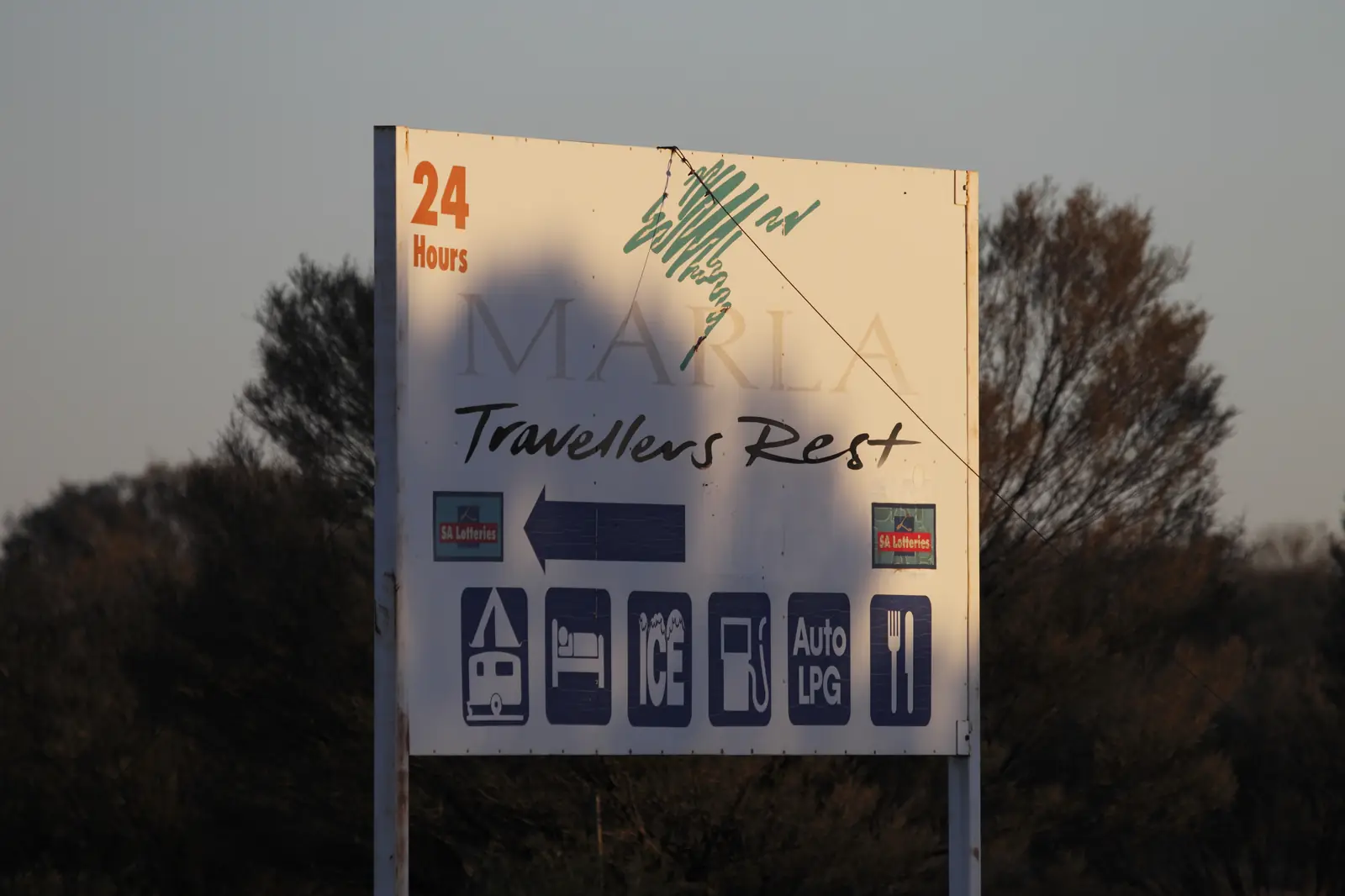
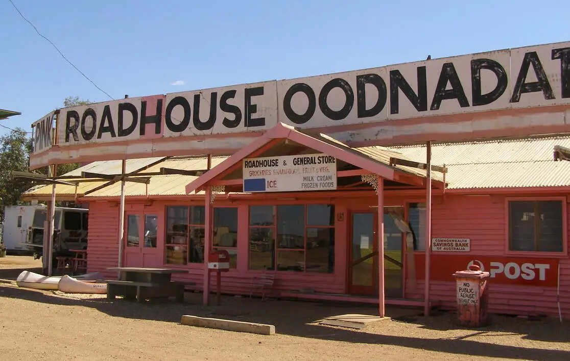
Travellers Rest, MarlaPhoto: Ed Dunens · CC BY 2.0 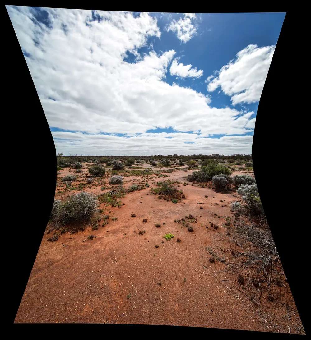
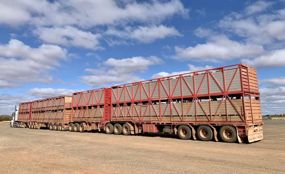
Staying Still 69 QuietPhoto: Ben Cordia · CC BY-SA 4.0
Marla sits on the Stuart Highway in far northern South Australia, at the junction with the Oodnadatta Track. SATC’s Explorers Way material marks it on the sealed Adelaide–Darwin corridor and describes it as the last South Australian stop before the Northern Territory border. This site’s Oodnadatta Track guide is the dirt story: about 620 km from Marree through William Creek and Oodnadatta to Marla.
It is a service junction, not a far-west sightseeing city. The 2021 Census counted 38 people in the Marla locality (SAL40834). Use that figure. Do not mix it with a roadhouse marketing count.
Where it is, and how far
Marla is on the Stuart Highway (A87). South is Coober Pedy. North is the Northern Territory border, then the Alice Springs run. East (unsealed) is the Oodnadatta Track.
SATC’s Explorers Way road-trip copy gives hours from Coober Pedy, not a Marla kilometre table: about 8 hours Coober Pedy to Alice Springs, about 9 hours Coober Pedy to Uluru, on that international SATC wording. This hub does not invent a Marla–Adelaide kilometre figure to fill the gap.
| Place | Official note |
|---|---|
| Stuart Highway | Sealed; Traffic SA |
| Oodnadatta Track | Unsealed, about 620 km Marree–Marla on this site’s track guide; DIT |
| Coober Pedy | Next large service town south on the Stuart |
| Oodnadatta | Track town east; this site’s Oodnadatta guide treats Marla as the highway end of that run |
Check Traffic SA for the bitumen. Check DIT outback road warnings before you leave it. Rain that barely wets the highway can close the track.
Facts at a glance
Population. Australian Bureau of Statistics 2021 Census, Suburbs and Localities SAL40834: 38 people. Median age 46. Sex split 48.9% male / 51.1% female. Families 3. All private dwellings 53. Average household size 1.6. ABS notes that limited information has been provided because the population is small, and that small random adjustments protect confidentiality. Read the ABS Marla QuickStats.
Climate. Bureau of Meteorology station Marla Police Station (016085). Location 27.30°S, 133.62°E, elevation 323 m. Commenced 1985. Status closed 21 January 2026. Latest available data on the table used here 3 October 2018. Mean maxima use 26 years (1985–2015). Annual mean rainfall 234.4 mm over 24 years (1985–2015). Hottest month by mean maximum: January 37.2 °C. Coolest month by mean maximum: June 19.5 °C — not July (20.0 °C). Full columns sit on the BOM Marla Police Station table and on Marla weather. Use a live BOM forecast for the day you drive; the climate table is a closed-station average.
Visitor centre. There is no accredited Whyalla-style VIC in a locality of 38 people. SATC’s outback itinerary FAQ points travellers to desks such as Coober Pedy Visitor Centre for remote-road insight. Use that, plus DIT, plus this site’s track guide.
The sealed Stuart Highway is the Adelaide–Darwin / Explorers Way bitumen (Traffic SA). The Oodnadatta Track is the unsealed Marree–Marla corridor on this site’s track guide (DIT). Rain that barely wets the highway can still close 620 km of dirt. Wait on bitumen. Do not treat a maps-app pin as an open track.
Traditional Owners
This hub will not paste a single nation name onto the townsite without an official sentence that names Marla. SATC’s Kati Thanda itinerary names the Arabana people as Traditional Custodians of the lake further along the Oodnadatta Track. Parks and track pages on this site discuss Arabana and neighbouring peoples on that dirt corridor. Confirm wording locally. Read visiting Country respectfully.
History
SATC treats Marla as a highway stop on the Explorers Way, not as a museum town. The Oodnadatta Track follows the old Ghan corridor and mound springs (this site’s track guide; Parks SA at Wabma Kadarbu). Marla is where that unsealed history meets the sealed Stuart Highway. This page does not invent a gazettal year or a private roadhouse origin story.
Things to do
Official days in Marla are practical:
- Rest, fuel and sleep on the Stuart Highway (Traffic SA; SATC Explorers Way stop).
- Join or leave the Oodnadatta Track only when DIT says it is open.
- Continue south to Coober Pedy or east toward Oodnadatta.
There is no SATC destination paragraph that invents a lookout trail here. A fuller caution list is on things to do in Marla.
Where to stay
A locality of 38 people supports roadhouse, motel and caravan-park stay types. SATC Explorers Way copy does not publish a ranked hotel list for Marla on the English pages used here, and this hub will not name a private complex that SATC, DIT and Parks SA do not name on those pages.
- Confirm beds and fuel hours at Coober Pedy Visitor Centre or by phoning ahead the day you travel.
- How to choose: Marla accommodation
- Parks and camping: Marla caravan parks
- Operator enquiries: feature your business
January’s 37.2 °C mean maximum is a reason to book cooling, not a reason to camp on the verge. SATC’s outback FAQ prefers cooler months and notes some places close in extreme summer heat.
Caravan and camping
Vans use Marla because the Stuart Highway is sealed and the Oodnadatta Track ends (or starts) here. Town sites are the overnight choice. The track is not a bush-camp plan after rain. Read Marla caravan parks. Check DIT before you tow dirt.
Fuel and services
Treat Marla as a fill-up and confirm-hours stop, not as a city supermarket. SATC’s outback itinerary tells travellers to carry extra fuel, water and food in this region. Coober Pedy is the larger restock south. Oodnadatta is the track restock east — unsealed.
This guide does not list bowser brands.
Road access
- Stuart Highway — sealed Explorers Way / Adelaide–Darwin corridor. Traffic SA. An Adelaide to Darwin itinerary uses this bitumen.
- Oodnadatta Track — unsealed, about 620 km to Marree on this site’s track page. DIT. High clearance / 4WD depending on conditions; rain closes it.
- Not a shortcut to Ceduna — Ceduna is the Eyre Highway, a different corridor entirely.
Do not drive a closed track. SATC’s Kati Thanda FAQ says closed roads are closed for a reason.
Nearby parks and towns
Places named on official track/park pages (confirm access):
- Oodnadatta Track corridor (this site’s guide)
- Wabma Kadarbu Mound Springs Conservation Park (Parks SA; on the track, not in town)
Towns on this site:
- Coober Pedy — Stuart Highway south
- Oodnadatta — track east
- Outback SA hub
- Oodnadatta Track
When to go, and how long
April–October is SATC’s comfort window for Kati Thanda / outback unsealed travel. Marla’s BOM table (closed station) shows January 37.2 °C mean maximum and only 234.4 mm of rain a year. June, not July, is the coolest month by mean maximum. See Marla weather.
One night is the highway pattern. Two nights only if you are waiting for a track to reopen — wait on bitumen, not on a closed road.
Operators who want a checked listing: feature your business. The listings slot stays empty until then.
Plan this trip
Tell us the dates, who you are travelling with and where you need help. We reply with planning notes for Marla — we are not a booking agent.
Events and road-conditions newsletter
Occasional notes on outback festivals, race days and official road-condition sources — not a daily blast. We use these details only to send the newsletter.
South Australia · Outback SA
Marla accommodation
Where to stay in Marla: roadhouse, motel and caravan-park stay types on the Stuart Highway. Confirm hours. We do not name a private complex SATC and DIT do not list.
Read · 3 min
South Australia · Outback SA
Marla caravan parks
Caravan parks and camping in Marla: highway van sites as a stay type at the Oodnadatta Track junction. Confirm hours. The track is not a bush camp after rain.
Read · 3 min
South Australia · Outback SA
Marla weather
Marla climate from Bureau of Meteorology Marla Police Station (016085, closed): January mean maximum 37.2 °C, coolest June 19.5 °C, annual rainfall 234.4 mm. Full monthly table.
Read · 3 min
South Australia · Outback SA
Things to do in Marla
Things to do in Marla: rest on the sealed Stuart Highway, join or leave the Oodnadatta Track only when DIT says it is open, and use Coober Pedy for visitor information.
Read · 3 min
Frequently asked questions
What is Marla’s population?
38 people at the 2021 Census for the Marla suburb/locality (SAL40834). Median age 46. Sex split 48.9% male / 51.1% female. Limited tables are published because the population is small.
Is Marla on the Oodnadatta Track?
Yes. This site’s Oodnadatta Track guide runs about 620 km from Marree to Marla. Marla is the Stuart Highway end. The track is unsealed and closes after rain — check DIT outback road warnings.
Is Marla the last South Australian stop on the Explorers Way?
SATC’s Explorers Way road-trip copy describes Marla as the last stop in South Australia on that Adelaide–Darwin sealed corridor, before the Northern Territory border. Confirm fuel and hours on the day; do not treat a map label as a 24-hour promise.
How hot is summer?
Bureau of Meteorology means for Marla Police Station (016085, now closed) show January mean maximum 37.2 °C. The coolest month by mean maximum is June at 19.5 °C, not July (20.0 °C). Annual mean rainfall is 234.4 mm.
Whose Country is Marla on?
This hub does not flatten a single nation onto the townsite. SATC’s Kati Thanda itinerary names Arabana people for the lake further east. Confirm local wording at Coober Pedy or Oodnadatta visitor desks before treating a label as settled.
Do I need a 4WD to reach Marla?
No, not for the town. The Stuart Highway is sealed (Traffic SA). The Oodnadatta Track into town is unsealed (DIT). Do not mix the two.
Sources and further reading
Facts on this page were checked against these primary and official sources. Conditions change — confirm before you travel or buy.
- Marla 2021 Census QuickStats (SAL40834) — Australian Bureau of Statistics
- Climate statistics for Marla Police Station (016085) — Bureau of Meteorology
- Explorers Way road trip (SATC media map) — South Australian Tourism Commission
- Kati Thanda-Lake Eyre itineraries — South Australian Tourism Commission
- Traffic SA — Government of South Australia
- Outback road warnings — Department for Infrastructure and Transport SA
- Oodnadatta Track — Outback Now