At a glance
Sourced facts only. Distances and services change — confirm before you travel.
- Local government
- Bourke Shire
- Traditional Owners
- Ngemba people named by Visit Bourke for the Byrock Rock Holes / Bai namingVisit Bourke: the village is named after the rock hole called Bai by the Ngemba tribe. Confirm current wording at the Back O' Bourke Information and Exhibition Centre.
- Nearest regional city
- Bourke is the shire service town north on the Mitchell Highway; Nyngan is the junction town south. A Byrock–Bourke or Byrock–Nyngan kilometre is not printed on Visit Bourke’s Byrock page.
- Capital
- A Byrock–Sydney kilometre is not printed on Visit Bourke or Visit NSW’s Mulga Creek Hotel listing used here.
- Nearest fuel
- Confirm in Nyngan or Bourke if a village bowser is not named. Visit Bourke names the Mulga Creek Hotel for meals, motel, caravan and camping — not a fuel brand.
- Nearest hospital or clinic
- Confirm with NSW Health — do not invent a clinic name. Bourke is the shire service town. Nyngan Health Service, 15 Hoskins Street, 24-hour emergency (NSW Health / Western NSW LHD) is the southern highway hospital this site already names.
- Mobile coverage
- Check Telstra and Optus coverage maps before travel; Visit Bourke notes Vodafone does not work within western NSW. Do not assume a signal.
- Best time to visit
- May–September (cooler BOM Bourke Airport mean maxima). January mean maximum 37.8 °C on that airport table.
Climate
Monthly means from the Bureau of Meteorology station Bourke Airport AWS (048245). This is not a forecast. Open. Nearest complete open table used here for this Bourke Shire village — not a Byrock town station. Commenced 1998. Elevation 107 m. Temperature maxima 27 years (1998–2026); rainfall 25 years (1998–2026). Do not blend with Nyngan Airport or Bourke Post Office.
| Month | Mean max (°C) | Mean min (°C) | Rainfall (mm) |
|---|---|---|---|
| Jan | 37.8 | 22.8 | 34.0 |
| Feb | 35.8 | 21.9 | 30.6 |
| Mar | 32.9 | 18.9 | 39.4 |
| Apr | 28.1 | 13.6 | 22.0 |
| May | 22.6 | 8.6 | 25.5 |
| Jun | 18.9 | 5.9 | 28.5 |
| Jul | 18.7 | 4.3 | 15.6 |
| Aug | 21.4 | 5.4 | 14.0 |
| Sep | 26.0 | 9.4 | 18.5 |
| Oct | 29.8 | 14.1 | 26.7 |
| Nov | 32.6 | 17.6 | 43.5 |
| Dec | 35.6 | 20.5 | 32.9 |
Byrock in pictures
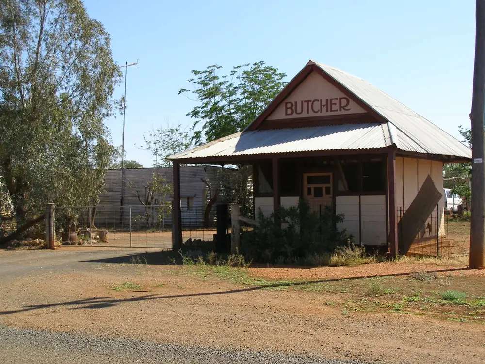
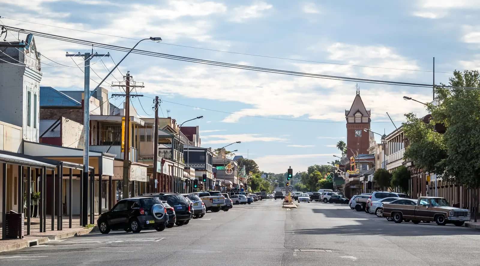
Former butcher shop in ByrockPhoto: Kerry Raymond · CC BY-SA 3.0 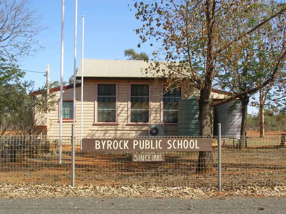
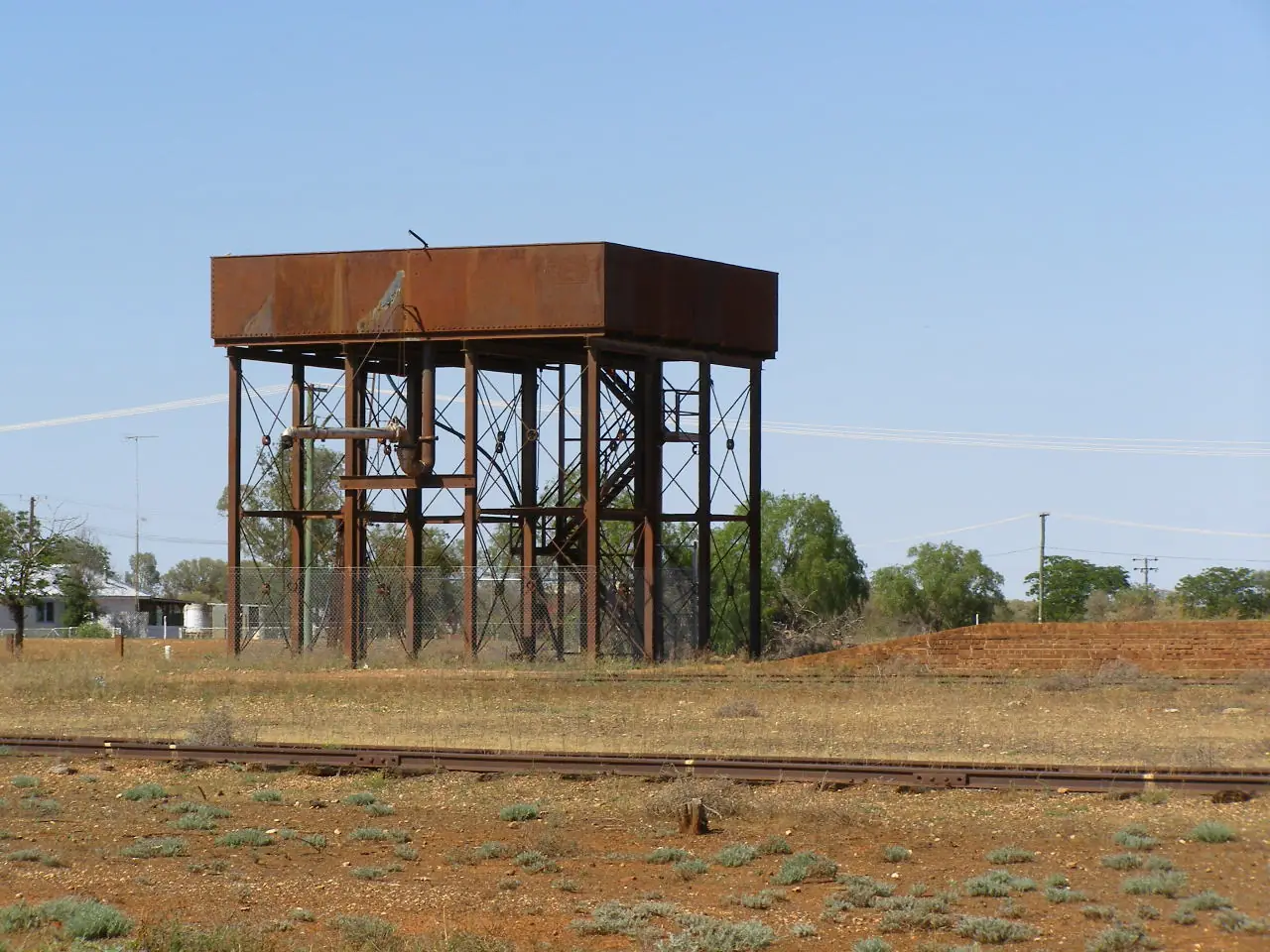
School in ByrockPhoto: Kerry Raymond · CC BY-SA 3.0 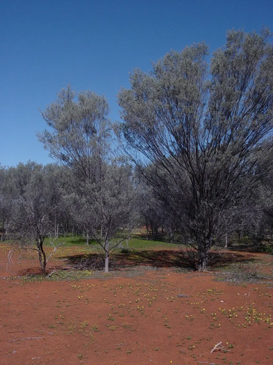
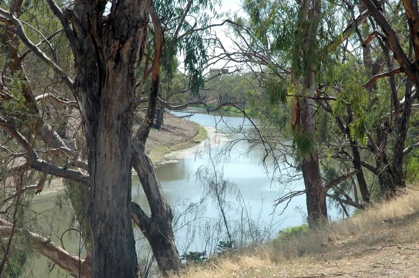
Landscape at ByrockPhoto: Joy Engelman · CC BY-SA 3.0 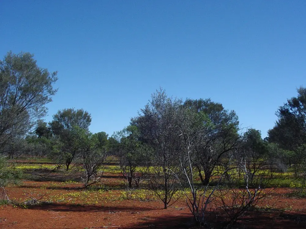
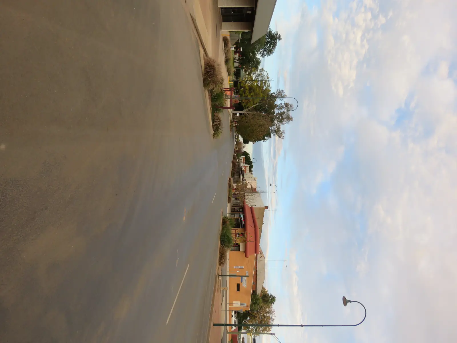
Red and blue landscape at ByrockPhoto: Joy Engelman · CC BY-SA 3.0
Byrock is a Mitchell Highway village in Bourke Shire, on this site’s Outback NSW belt between Nyngan and Bourke. Visit Bourke’s Byrock page is the official listing used here: a former Cobb & Co stopping point that used the Byrock Rock Holes to water horses; by 1879 the Mulga Creek Hotel was a Cobb & Co change station; in 1884 the Great Western Railway from Sydney reached Byrock. Visit NSW lists the hotel at Mitchell Highway and Cobar Street in the Bourke area and calls Byrock a small village worth the time to stop in. This is not a Darling River port. The Darling River Run runs through Bourke and Louth. Enngonia is the Mitchell Highway village north of Bourke on the same shire list — already linking this page.
The Australian Bureau of Statistics does not publish a 2021 Urban Centre (UCL) named Byrock on the QuickStats pages used here. Use suburbs-and-localities SAL10730: 26 people, median age 41, sex split 45.5% male / 54.5% female. 3 families, 21 private dwellings. Average 1.9 people per household. QuickStats notes limited tables because of the small population, and small random adjustments. Read the ABS SAL QuickStats.
The Mitchell Highway is sealed in ordinary weather. After rain on floodways, you still need Live Traffic NSW and the Bourke Shire road report. Fill in Nyngan or Bourke. This hub does not invent a Byrock–Bourke kilometre Visit Bourke does not print on the village page.
Where it is, and how far
Byrock sits on the Mitchell Highway in Bourke Shire. Visit Bourke’s visitor-information page lists it with Bourke, Louth, Wanaaring, Yantabulla, Enngonia, Fords Bridge and Barringun. South, Nyngan is the Mitchell–Barrier junction town on this site. North, Bourke is the shire service town. The rock holes lie 500 metres west of the town just beyond the hotel on Visit Bourke. That is the only Byrock offset those pages print.
| Place | Distance from Byrock (sourced) |
|---|---|
| Byrock Rock Holes | 500 m west, just beyond the hotel (Visit Bourke) |
| Bourke | Shire service town north on the Mitchell Highway — kilometre not printed on Visit Bourke’s Byrock page |
| Nyngan | Mitchell–Barrier junction south — kilometre not printed on that page |
| Mulga Creek Hotel | Mitchell Highway and Cobar Street (Visit Bourke; Visit NSW) |
| Bourke Airport AWS (BOM) | 30.04°S, 145.95°E, elevation 107 m — climate station at Bourke, not a Byrock drive time |
BOM’s Bourke Airport nearest-alternative list names Bourke Post Office, Brewarrina Hospital and Cobar MO from that airport — station-to-station figures, not Byrock driving distances. Cobar is Nyngan’s Barrier Highway neighbour, not a Mitchell Highway suburb of Byrock.
Facts at a glance
Population. ABS 2021 SAL10730: 26 people. Median age 41. Limited tables. No UCL. Byrock SAL QuickStats.
Climate. No Byrock row on the BOM NSW monthly-statistics list used here. Use BOURKE AIRPORT AWS, 048245, 30.04°S, 145.95°E, elevation 107 m, commenced 1998, status open. Mean maximum (27 years, 1998–2026): January 37.8 °C, July 18.7 °C, annual 28.4 °C. Mean minimum (25 years): January 22.8 °C, July 4.3 °C, annual 13.6 °C. Mean rainfall (25 years, 1998–2026): annual 315.7 mm. Mean days of rain ≥ 1 mm: 34.3. Driest mean month August 14.0 mm; wettest November 43.5 mm. That is the Bourke airport table. Do not blend it with Nyngan Airport or Bourke Post Office. See Byrock weather.
Visitor information. Back O' Bourke Information and Exhibition Centre, Kidman Way, Bourke, (02) 6872 1321, info@backobourke.com.au. Mulga Creek Hotel (02) 6874 7311, Mitchell Highway and Cobar Street. Cemetery gate key from the hotel on Visit Bourke’s cemetery listing.
Traditional Owners
Visit Bourke: the village is named after the rock hole called Bai by the Ngemba tribe. The name then became the Bye Rockhole, then Bye Rock, then Byrock. The rock-holes listing puts a detailed explanation of its meaning to the Ngemba Aboriginal people at the waterhole 500 metres west of town, just beyond the hotel. That is the official visitor wording used here. Confirm current wording at the Back O' Bourke centre. Bourke’s own hub records Ngemba and Barkindji (Paakantyi) for that Darling town. This page follows Visit Bourke for the rock holes and does not flatten a second nation onto the hotel verandah. Read visiting Country respectfully.
History
Visit Bourke’s village page is the public history used here. The village was a stopping point for Cobb & Co coaches that used the rock holes to water horses. By 1879 the Mulga Creek Hotel was a Cobb & Co change station. In 1884 the Great Western Railway from Sydney reached Byrock. By 1886 about 500 people were living in the area: ten stores, five hotels, a school, a post office, a butcher’s shop and a baker’s shop. Today Visit Bourke names a deserted railway station, an old butcher’s shop and a historic cemetery among the ruins of that thriving community.
The cemetery listing: restored by residents in 1996 to honour those who lost their lives developing this part of western New South Wales between 1882 and 1933. The average age at death of those buried there is 20 years. Visit Bourke lists lack of qualified medical practitioners, distance and time to proper health care, harsh climate, poor living conditions and infection as the reasons. Collect the gate key from the Mulga Creek Hotel.
Visit NSW repeats the 1879 Cobb & Co sentence and the modern hotel as a watering hole with camping and a bush walk through the scrub.
Things to do
Byrock Rock Holes — 500 m west, just beyond the hotel. Visit Bourke: detailed explanation of meaning to the Ngemba Aboriginal people. Stay on the signed ground. This is not a swimming hole this page will timetable.
Mulga Creek Hotel — meals, motel, caravan and camping, bush walk through the scrub. Visit Bourke: iconic outback setting. Phone (02) 6874 7311.
Historic ruins — deserted railway station, old butcher’s shop, historic cemetery. Stay off unsafe structures. Cemetery key from the hotel.
Bush walk — named on both Visit Bourke and Visit NSW hotel listings. Confirm the track at the desk; it is not a national-park walk.
Gundabooka is south of Bourke on the Starlight arrest story. Use the Gundabooka and Toorale guide — it is not a Byrock footpath. Enngonia holds that shire’s bushranger hotel story north of Bourke.
Where to stay
Visit Bourke and Visit NSW name:
- Motel rooms at the Mulga Creek Hotel
- Caravan grounds
- Camping grounds with modern amenities on those listings
- Meals in an iconic outback setting
Phone (02) 6874 7311, Mitchell Highway and Cobar Street. Those are official named types, not a ranked inventory. If the hotel is full, closed, or on the wrong side of a road closure, Bourke and Nyngan are the overflow.
- How to choose: Byrock accommodation
- Camping detail: Byrock caravan parks
- Operator enquiries: feature your business
Caravan and camping
Vans use Byrock as a quieter Mitchell Highway overnight than Bourke or Nyngan. The sourced in-village type is the Mulga Creek Hotel’s caravan and camping grounds. The rock holes are a 500 m walk, not a free camp. Ask about stay limits. Read Byrock caravan parks and outback camping.
After rain, floodways are the constraint. Live Traffic NSW first.
Fuel and services
A locality of 26 people will not match Bourke or Nyngan for fuel, groceries or a hospital. This guide does not list bowser brands. Visit Bourke names meals and rooms at the Mulga Creek Hotel, not a supermarket aisle. Fill in Nyngan or Bourke. Visit Bourke’s visitor-information page lists public showers at Tito's Roadhouse, BP Service Station and Outback Fuel Centre — those are Bourke facilities. For current questions, use Visit Bourke and (02) 6872 1321.
Nyngan Health Service, 15 Hoskins Street, has 24-hour emergency on this site’s Nyngan hub. Bourke is the shire hospital town. Emergencies 000.
Road access
The Mitchell Highway is the sealed spine through Byrock between Nyngan and Bourke. It is a freight road. Pull over for road trains. After rain, check Live Traffic NSW and the Bourke Shire road report. Do not drive around closed signs to keep a cemetery or hotel booking.
West: the rock holes 500 m — a walk from the hotel on Visit Bourke, not a 4WD expedition. South: Nyngan, then the Barrier Highway to Cobar if you leave the Mitchell. North: Bourke, then Enngonia toward the Queensland border approach at Barringun — named, not linked. Brewarrina is the Barwon neighbour east of Bourke, not a 20-minute Byrock side road.
Nearby parks and towns
Parks and named nature sites:
- Byrock Rock Holes — 500 m west, Ngemba explanation on Visit Bourke
- Gundabooka and Toorale — south of Bourke, not a Byrock suburb
Towns on this site:
- Bourke — shire service town, Back O' Bourke centre
- Nyngan — Mitchell–Barrier junction, Big Bogan
- Enngonia — Mitchell Highway north of Bourke
- Louth — Darling River Run
- Wanaaring — Paroo / west of Bourke
- Cobar — Barrier Highway from Nyngan, not a Byrock side street
Named, not linked: Barringun, Yantabulla, Fords Bridge.
When to go, and how long
Bourke Airport’s January mean maximum of 37.8 °C is hot for a rock-hole walk at midday. July’s 18.7 °C mean maximum is the comfortable season on paper; July’s 4.3 °C mean minimum is why a powered camp needs a layer. Annual rainfall 315.7 mm on that airport table.
An hour at the hotel, the rock holes and the cemetery (if you have the key) is the minimum. A night lets you use the hotel park if the desk has confirmed a site. Two nights in a locality of 26 people is more than the sourced main-street list supports unless you are waiting on a highway closure.
Operators who want a checked listing: feature your business. The listings slot on this hub stays empty until then.
Plan this trip
Tell us the dates, who you are travelling with and where you need help. We reply with planning notes for Byrock — we are not a booking agent.
Events and road-conditions newsletter
Occasional notes on outback festivals, race days and official road-condition sources — not a daily blast. We use these details only to send the newsletter.
New South Wales · Outback NSW
Byrock accommodation
Where to stay in Byrock: Visit Bourke and Visit NSW name Mulga Creek Hotel motel, caravan and camping at Mitchell Highway and Cobar Street. Confirm (02) 6874 7311. Between Nyngan and Bourke.
Read · 3 min
New South Wales · Outback NSW
Byrock caravan parks
Camping in Byrock: Visit Bourke and Visit NSW name Mulga Creek Hotel caravan and camping grounds at Mitchell Highway and Cobar Street. Confirm before you unhitch. Between Nyngan and Bourke.
Read · 3 min
New South Wales · Outback NSW
Byrock weather
Byrock climate from BOM Bourke Airport AWS (048245): January mean max 37.8 °C, July 18.7 °C, annual rainfall 315.7 mm. No Byrock BOM table. Mitchell Highway between Nyngan and Bourke.
Read · 3 min
New South Wales · Outback NSW
Things to do in Byrock
Things to do in Byrock: Visit Bourke names the Ngemba rock holes 500 m west, Mulga Creek Hotel, deserted railway station, butcher’s shop and historic cemetery. Mitchell Highway between Nyngan and Bourke.
Read · 4 min
Frequently asked questions
Where is Byrock on the Mitchell Highway?
Visit Bourke’s visitor-information page lists Byrock with Bourke, Louth, Wanaaring, Yantabulla, Enngonia, Fords Bridge and Barringun. This hub sits on the Mitchell Highway between Nyngan and Bourke. Visit Bourke’s Byrock page does not print a Byrock–Bourke or Byrock–Nyngan kilometre. This hub does not invent those figures.
What is Byrock’s population?
26 people at the 2021 Census for Byrock suburbs-and-localities (SAL10730), median age 41, sex split 45.5% male / 54.5% female. 3 families, 21 private dwellings. QuickStats notes limited tables because of the small population. The ABS does not publish a 2021 Urban Centre named Byrock on the pages used here.
What is there to do in Byrock?
Visit Bourke names the Byrock Rock Holes 500 metres west of town beyond the hotel, with an explanation of meaning to the Ngemba Aboriginal people; the Mulga Creek Hotel for a meal, motel, caravan and camping; and historic ruins — a deserted railway station, an old butcher’s shop and a historic cemetery. Collect the cemetery gate key from the hotel.
Where should I stay in Byrock?
Visit Bourke and Visit NSW name the Mulga Creek Hotel at Mitchell Highway and Cobar Street: motel, caravan and camping grounds with modern amenities, meals, and a bush walk through the scrub. Phone (02) 6874 7311. Confirm on arrival. Bourke and Nyngan are the highway overflow.
What is the weather like in Byrock?
There is no Byrock BOM monthly-statistics table on the NSW list used here. Use open Bourke Airport AWS (048245): January mean maximum 37.8 °C, July 18.7 °C, annual rainfall 315.7 mm. That is the Bourke airport table, not a blended Byrock mean. Do not blend with Nyngan Airport.
Whose Country is Byrock on?
Visit Bourke says the village is named after the rock hole called Bai by the Ngemba tribe, then Bye Rockhole, Bye Rock, Byrock. The rock-holes listing puts a detailed explanation of meaning to the Ngemba Aboriginal people at the waterhole 500 metres west of town. Confirm wording at the Back O' Bourke Information and Exhibition Centre, Kidman Way, Bourke, (02) 6872 1321.
Sources and further reading
Facts on this page were checked against these primary and official sources. Conditions change — confirm before you travel or buy.
- Byrock 2021 Census QuickStats (SAL10730) — Australian Bureau of Statistics
- Climate statistics for Bourke Airport AWS (048245) — Bureau of Meteorology
- Byrock — Visit Bourke
- MULGA CREEK HOTEL — Visit Bourke
- Mulga Creek Hotel — Visit NSW
- Byrock Rock Holes — Visit Bourke
- Byrock Cemetery — Visit Bourke
- Visitor Information — Visit Bourke
- Live Traffic NSW — Transport for NSW