At a glance
Sourced facts only. Distances and services change — confirm before you travel.
- Local government
- Cobar Shire
- Traditional Owners
- Ngiyampaa Country (this site’s Cobar hub and NPWS Mount Grenfell Historic Site, jointly managed with the Ngiyampaa people). Confirm wording at the Great Cobar Museum and Visitor Information Centre.Visit Cobar’s Canbelego village paragraph used here does not print a separate townsite acknowledgement.
- Nearest regional city
- Cobar is the Cobar Shire service town on this site. Visit Cobar’s Canbelego paragraph does not print a Canbelego–Cobar kilometre. This hub does not invent one.
- Capital
- Visit NSW’s Cobar page: about eight hours from Sydney, seven from Canberra and nine from Melbourne. Those are Cobar figures, not a Canbelego offset this page will invent.
- Nearest fuel
- This guide does not name a Canbelego bowser. Fill in Cobar. Confirm at the Great Cobar Museum and Visitor Information Centre.
- Nearest hospital or clinic
- Cobar Health Service, Woodiwiss Avenue — 24-hour emergency (this site’s Cobar hub). No Canbelego clinic is named on the Visit Cobar pages used here.
- Mobile coverage
- Check Telstra and Optus coverage maps before travel; do not assume a signal on Cobar–Nymagee country or Barrier Highway pull-offs.
- Best time to visit
- May–September (cooler nearby BOM Cobar MO mean maxima). January mean maximum 34.6 °C; July 16.0 °C.
Climate
Monthly means from the Bureau of Meteorology station Cobar MO (048027) — nearby open table. This is not a forecast. Open nearby station, not an in-town Canbelego AWS. Commenced 1962. Elevation 260 m. Temperature 64 years; rainfall 63 years (1962–2026). Do not blend with Cobar Airport AWS. Monthly columns copied from this site’s Cobar hub. BOM’s NSW named list used here has no Canbelego climate-averages table.
| Month | Mean max (°C) | Mean min (°C) | Rainfall (mm) |
|---|---|---|---|
| Jan | 34.6 | 20.9 | 43.7 |
| Feb | 33.5 | 20.2 | 42.6 |
| Mar | 30.3 | 17.3 | 36.3 |
| Apr | 25.4 | 12.9 | 27.1 |
| May | 20.1 | 9.0 | 33.6 |
| Jun | 16.6 | 6.2 | 29.7 |
| Jul | 16.0 | 5.1 | 27.7 |
| Aug | 18.2 | 6.3 | 26.1 |
| Sep | 22.4 | 9.2 | 24.2 |
| Oct | 26.4 | 12.9 | 34.7 |
| Nov | 29.7 | 16.0 | 36.8 |
| Dec | 32.8 | 18.8 | 35.3 |
Canbelego in pictures
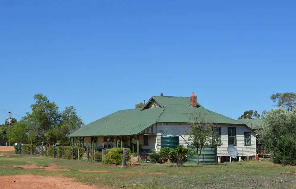
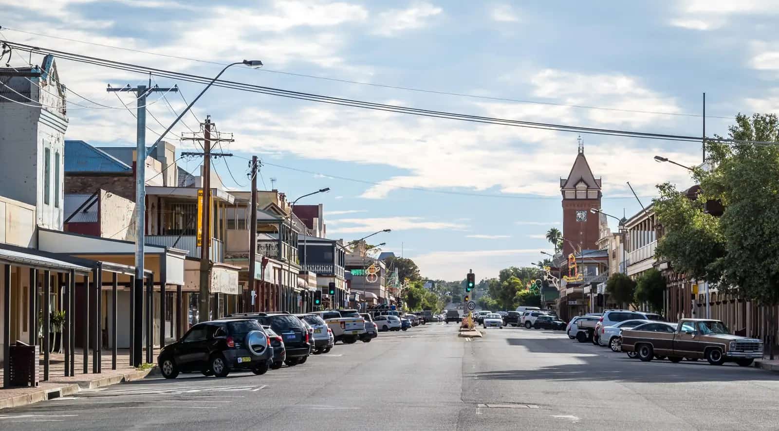
House in CanbelegoPhoto: Mattinbgn · CC BY 3.0 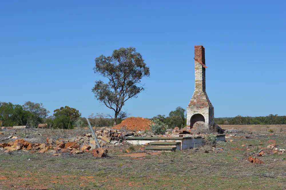
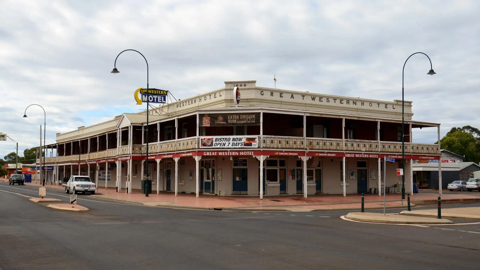
Ruin in CanbelegoPhoto: Mattinbgn · CC BY 3.0 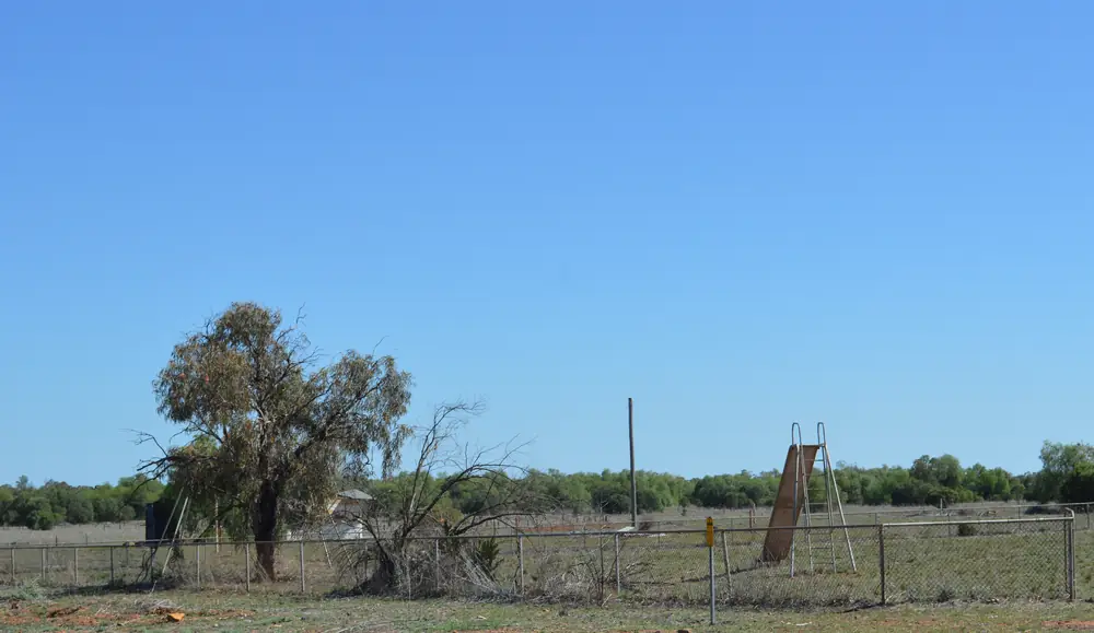
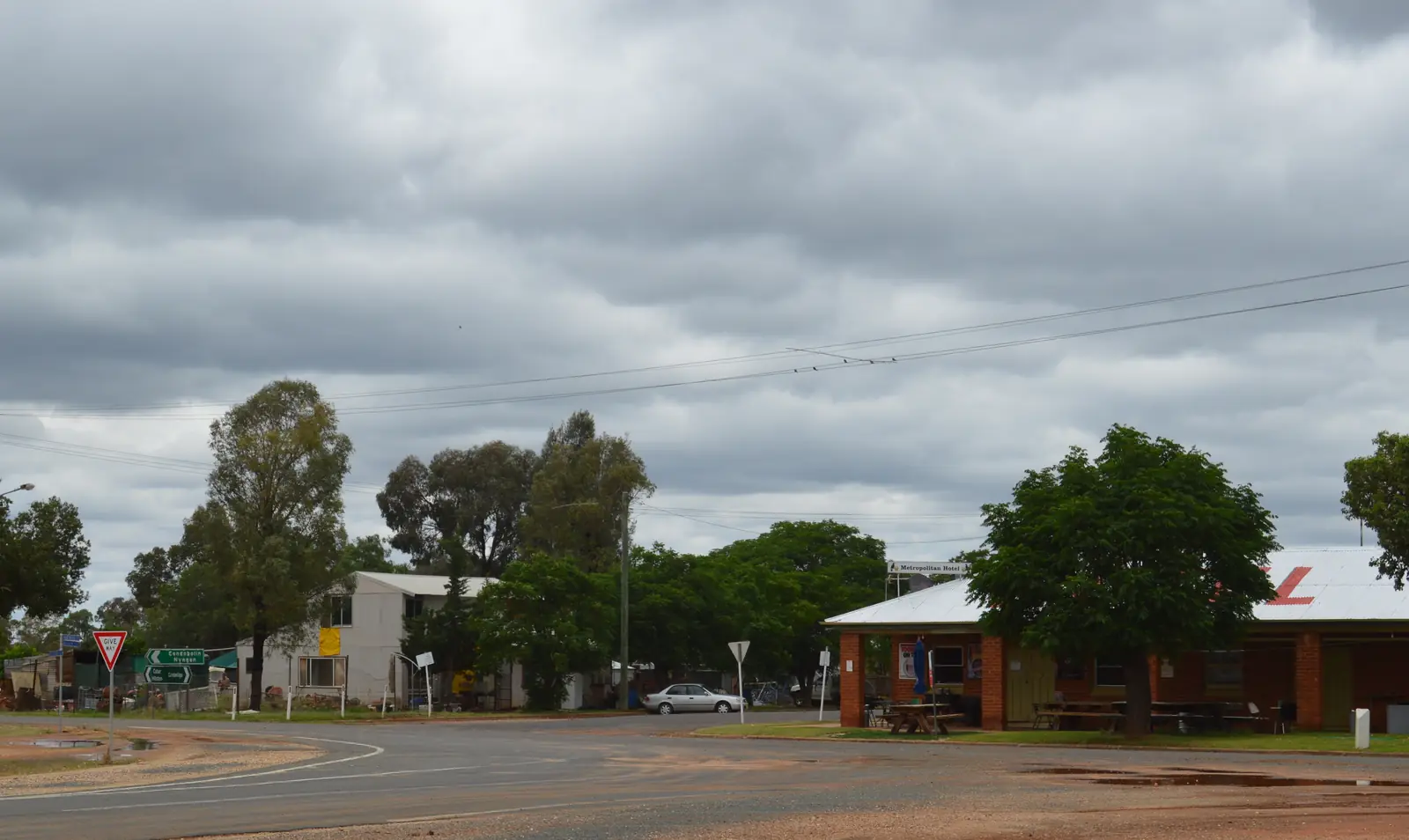
Abandoned playground in CanbelegoPhoto: Mattinbgn · CC BY 3.0 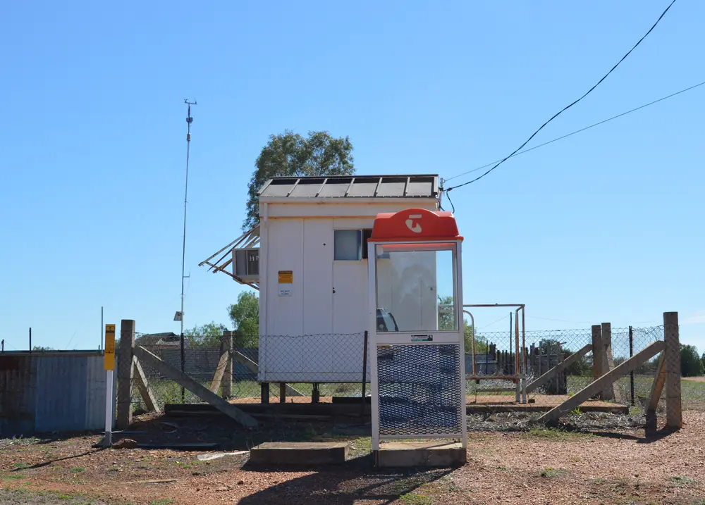
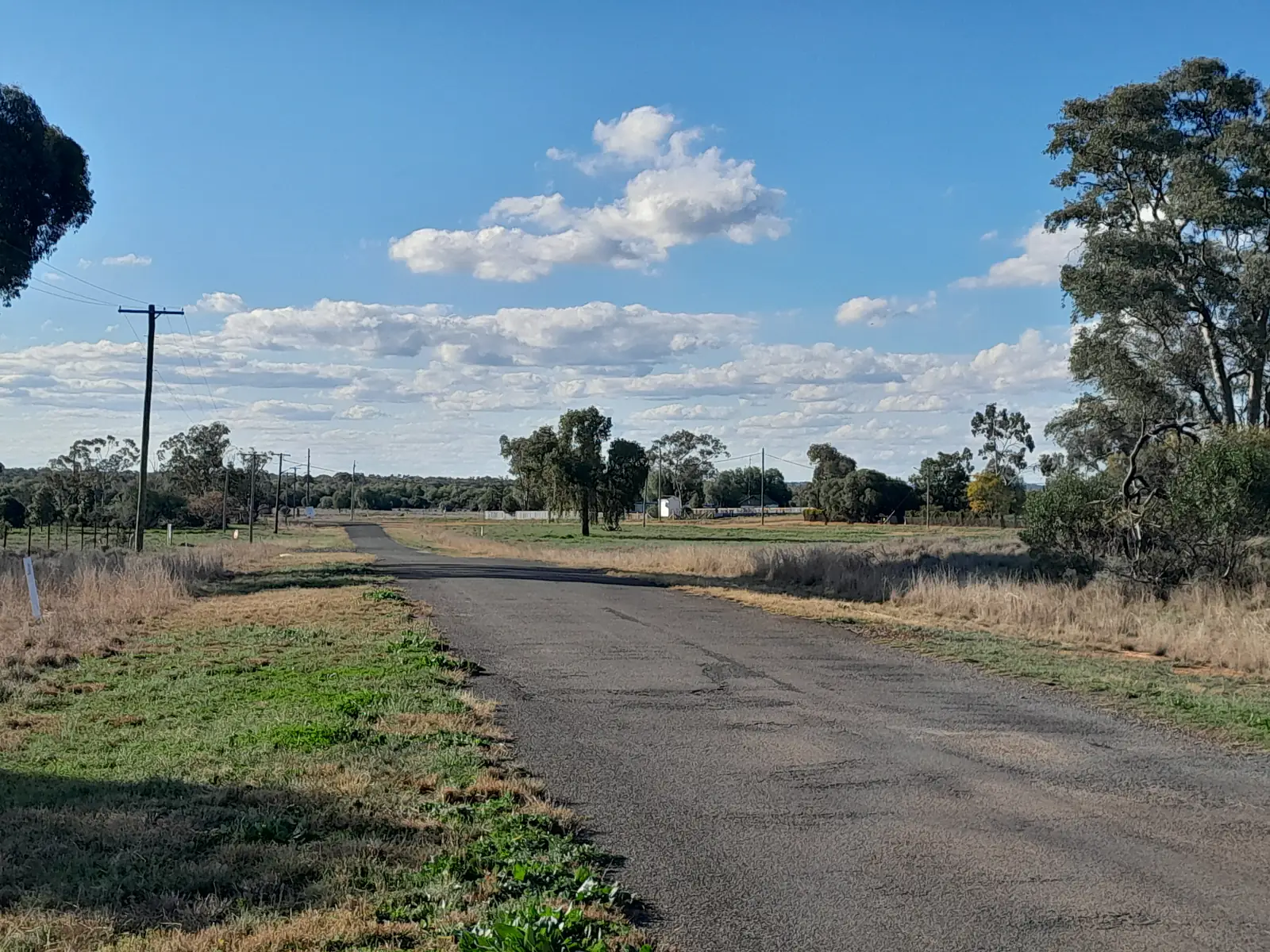
Telephone exchange in CanbelegoPhoto: Mattinbgn · CC BY 3.0
Canbelego sits in Cobar Shire on this site’s outback NSW list, a gold locality Visit Cobar still files under Villages of Cobar Shire beside Nymagee, Mount Hope and Euabalong. Visit Cobar’s sentence is the geography used here: Canbelego is a historic mining town. In 1905, the population had been around 1500 people. A short drive from Canbelego is Mount Boppy. This hub is the gold locality, not Cobar itself, not a Nyngan suburb, and not a second Nymagee pub street. Hermidale is the Barrier Highway village in Bogan Shire between Nyngan and Cobar. Byrock is a different Mitchell Highway locality on this site.
The Australian Bureau of Statistics does not publish a 2021 Urban Centre (UCL) named Canbelego on the QuickStats pages used here. Use suburbs-and-localities SAL10786: 54 people, median age 36, sex split 73.6% male / 26.4% female. 7 families, 41 private dwellings, 2.2 people per household. QuickStats notes limited tables because of the small population, and small random adjustments for confidentiality. Read the ABS SAL QuickStats.
Travellers come for Mount Boppy country and a Cobar Shire mining story. Visit Cobar does not name a hotel, a bowser or a caravan park on the Canbelego paragraph used here. You still need Live Traffic NSW after rain, because a historic mining locality is no use if the shire road is closed.
Where it is, and how far
Canbelego is Cobar–Nymagee country in Cobar Shire. Visit Cobar lists it with the shire’s other named villages, not as a Barrier Highway service stop. This hub does not invent kilometres. Cobar’s own guide already records about 710 km west of Sydney, about 160 km north-west of Nyngan and about 450 km east of Broken Hill — those are Cobar figures. Visit NSW’s Cobar page: about eight hours from Sydney, seven from Canberra and nine from Melbourne, or fly to Dubbo and drive about three hours. This hub does not subtract an invented Canbelego offset from them.
Visit Cobar: a short drive from Canbelego is Mount Boppy. That page does not print the drive as a kilometre. Mount Hope is 160 km south of Cobar on the same villages page — named, not linked. Euabalong is 230 km south of Cobar on that page — named, not linked. Nymagee is 100 km south of Cobar on that page. None of those village kilometres is a Canbelego townsite figure.
| Place | Distance from Canbelego (sourced) |
|---|---|
| Cobar | Shire service town. No Canbelego–Cobar kilometre on Visit Cobar’s Canbelego paragraph. |
| Mount Boppy | A short drive from Canbelego (Visit Cobar). No kilometre on that paragraph. |
| Nymagee | 100 km south of Cobar (Visit Cobar) — a Cobar–Nymagee figure, not a Canbelego offset invented here |
| Nyngan | Barrier Highway east of Cobar on this site. Cobar hub: about 160 km north-west of Nyngan for Cobar, not a Canbelego figure |
| Sydney | About eight hours to Cobar (Visit NSW). About 710 km west of Sydney for Cobar (this site’s Cobar hub) |
Facts at a glance
Population. ABS 2021 SAL10786: 54 people. Median age 36. No UCL. Use SAL QuickStats.
Climate. BOM’s NSW named list used here has no Canbelego table. COBAR MO, 048027, elevation 260 m, commenced 1962, status open. Mean maximum (64 years on this site’s Cobar hub): January 34.6 °C, July 16.0 °C. Mean rainfall (63 years, 1962–2026): annual 397.2 mm. January 43.7 mm wettest mean month; September 24.2 mm driest. Do not blend with Cobar Airport AWS. See Canbelego weather.
Visitor information. Visit Cobar villages page and the Great Cobar Museum and Visitor Information Centre on the Barrier Highway. Visit Cobar lists VIC hours as 8.30 am to 4.30 pm weekdays and 9 am to 4.30 pm weekends. Phone (02) 6836 2448, visitcobar@cobar.nsw.gov.au. Roads: Live Traffic NSW.
Traditional Owners
This site’s Cobar hub and NPWS Mount Grenfell Historic Site place the shire on Ngiyampaa Country, jointly managed at that historic site with the Ngiyampaa people. Visit Cobar’s Canbelego village paragraph used here does not print a separate townsite acknowledgement. Confirm current wording at the Great Cobar Museum and Visitor Information Centre before you treat any label as a Canbelego-only sentence. Stay on formed public roads. See visiting Country respectfully.
History
Visit Cobar’s heritage page: the founding of the Great Cobar led to other exploration and further mineral discoveries of silver and gold. Many smaller towns and villages sprang up, including Wrightville, Mount Drysdale, Canbelego, Illewong, Gilgunnia, Shuttleton and Nymagee. In the early years of the 1900s, Cobar and these towns between them supported a population of some 15,000 people.
Visit Cobar’s Canbelego paragraph: in 1905, the population had been around 1500 people. The original Mount Boppy Gold Mine operated from 1901–1922 and at the time was regarded as being the largest gold producer in New South Wales. That is a gold-mine founding, not a wheatbelt railway anecdote and not a Barrier Highway roadhouse story borrowed from Hermidale.
The 2021 locality counted 54 people. Treat the 1905 figure as Visit Cobar’s historical sentence, not as today’s Census.
Things to do
Visit Cobar names these in and around Canbelego:
- Historic mining town — Visit Cobar’s village heading; 1905 population around 1500
- Mount Boppy — a short drive; spectacular views; woodland to thick mallee
- Mount Boppy Gold Mine (historic) — original operation 1901–1922, then the largest gold producer in NSW on that page
Nearby, not in-town: Cobar holds the Great Cobar Heritage Centre, Fort Bourke lookout, Cobar Sound Chapel and the Miners Heritage Park. Visit NSW’s Cobar page names a restored stamper battery from the Mount Boppy Mine in that Cobar park — a Cobar exhibit, not a Canbelego main-street walk. Mount Grenfell Historic Site is about 70 km from Cobar on Visit NSW — a Cobar-side park day. Nymagee holds the Metropolitan Hotel and Clancy of the Overflow country 100 km south of Cobar.
See things to do in Canbelego.
Where to stay
Visit Cobar’s Canbelego paragraph does not name a hotel, motel or cabin in the locality. Official named stays sit in Cobar (Visit NSW: motels and caravan parks, including Cobar Caravan Park in that getting-there block) and in Nymagee (Visit Cobar: Metropolitan Hotel, meals and accommodation, 0448 373 854). Those are neighbouring towns, not Canbelego rooms this hub will invent.
- How to choose: Canbelego accommodation
- Camping detail: Canbelego caravan parks
- Operator enquiries: feature your business
Caravan and camping
Vans use Canbelego as a Cobar Shire gold-locality photograph, not as a named park night on the pages fetched here. Visit Cobar does not print a Canbelego caravan park. Named parks sit in Cobar. Nymagee’s Four Corners Farm Stay is 10 km from Nymagee on Visit NSW — a Nymagee listing, not a Canbelego site. Ask on arrival in Cobar for stay limits, dump points and pets. Read Canbelego caravan parks and outback camping. Do not camp on mine leases or in unmarked bush this page will not call a free camp.
Fuel and services
A locality of 54 people will not match Cobar for a hospital. Visit Cobar’s Canbelego paragraph names history and Mount Boppy, not a bowser brand, not a clinic and not a supermarket. Fill in Cobar before you leave the Barrier Highway / Kidman Way crossroads if you are heading into village country. Cobar Health Service, Woodiwiss Avenue, is the 24-hour emergency desk on this site’s Cobar hub. Confirm the day’s fuel and a Cobar or Nymagee room before you treat Canbelego as an overnight.
For maps, use the Great Cobar Museum and Visitor Information Centre. Roads: Live Traffic NSW.
Road access
Visit Cobar does not print the road name for the Canbelego run on the village paragraph used here. Treat it as remote shire country: sealed in ordinary weather is a hope, not a sourced surface claim this hub will invent. After rain, Live Traffic NSW. Pull over for road trains and mine traffic that still uses Cobar Shire roads.
Toward Cobar is the shire seat. Toward Nymagee is 100 km south of Cobar on Visit Cobar — that figure is Nymagee’s, not Canbelego’s. Toward Nyngan and Hermidale is the Barrier Highway corridor on those towns’ own pages. Byrock sits on a different highway story on this site.
Nearby parks and towns
Canbelego does not sit inside an NPWS park named on the sourced village paragraph. Named nature on Visit Cobar is Mount Boppy’s woodland-to-mallee road and views.
Towns on this site:
- Cobar — Cobar Shire seat, Great Cobar Museum
- Nymagee — 100 km south of Cobar, Metropolitan Hotel
- Nyngan — Bogan Shire, Barrier Highway
- Hermidale — Barrier Highway locality between Nyngan and Cobar
- Byrock — Mitchell Highway locality on this site
Named, not linked: Mount Hope, Euabalong, Wrightville, Mount Drysdale, Illewong, Gilgunnia, Shuttleton as heritage names on Visit Cobar.
When to go, and how long
Nearby Cobar MO January mean maximum of 34.6 °C is hot for a midday Mount Boppy photograph. July’s 16.0 °C mean maximum is the walking season on paper; July’s 5.1 °C mean minimum is why a van night in Cobar needs a layer. Annual rainfall 397.2 mm on the Cobar hub is dry inland, not a Top End Wet. September’s 24.2 mm is the driest mean month on that table.
Forty-five minutes covers a locality photograph if the shire road is open. A Cobar night covers fuel, a motel or van site, and an early Mount Boppy start. Two full tourist days in Canbelego itself is more than the sourced village list supports unless you are waiting out rain.
Operators who want a checked listing: feature your business. The listings slot on this hub stays empty until then.
Plan this trip
Tell us the dates, who you are travelling with and where you need help. We reply with planning notes for Canbelego — we are not a booking agent.
Events and road-conditions newsletter
Occasional notes on outback festivals, race days and official road-condition sources — not a daily blast. We use these details only to send the newsletter.
New South Wales · Outback NSW
Canbelego accommodation
Where to stay near Canbelego: Visit Cobar names no hotel in the locality. Use Cobar motels and caravan parks or Nymagee’s Metropolitan Hotel. Confirm before you unhitch. Not Nyngan.
Read · 3 min
New South Wales · Outback NSW
Canbelego caravan parks
Camping near Canbelego: Visit Cobar names no caravan park in the gold locality. Visit NSW names Cobar Caravan Park in Cobar. Confirm before you unhitch. Not Nyngan.
Read · 3 min
New South Wales · Outback NSW
Canbelego weather
Canbelego climate from nearby BOM Cobar MO (048027): January mean max 34.6 °C, July 16.0 °C, annual rainfall 397.2 mm. No in-town Canbelego table. Cobar Shire, not Nyngan Airport.
Read · 3 min
New South Wales · Outback NSW
Things to do in Canbelego
Things to do in Canbelego: Visit Cobar names a historic mining town and Mount Boppy views. Mount Boppy Gold Mine 1901–1922. Not Cobar, not Nyngan. Sourced list only.
Read · 3 min
Frequently asked questions
Is Canbelego the same place as Cobar or Nyngan?
No. Canbelego is a Cobar Shire historic mining town on Visit Cobar’s villages page, listed beside Nymagee, Mount Hope and Euabalong. Cobar is the shire service town. Nyngan is Bogan Shire on the Barrier Highway. This hub is not a Cobar suburb page and not a Nyngan suburb page.
What is Canbelego’s population?
54 people at the 2021 Census for Canbelego suburbs-and-localities (SAL10786), median age 36, sex split 73.6% male / 26.4% female. 7 families, 41 private dwellings, 2.2 people per household. ABS notes limited information because of the small population. There is no Urban Centre named Canbelego on the QuickStats pages used here.
What is there to do in Canbelego?
Visit Cobar: Canbelego is a historic mining town. In 1905, the population had been around 1500 people. A short drive from Canbelego is Mount Boppy, with spectacular views of the surrounds and a road that meanders through countryside varying from woodland to thick mallee. The original Mount Boppy Gold Mine operated from 1901–1922 and at the time was regarded as being the largest gold producer in New South Wales.
How far is Canbelego from Cobar?
Visit Cobar’s Canbelego paragraph used here does not print a Canbelego–Cobar kilometre. This hub does not invent one. Cobar’s own guide on this site records about 710 km west of Sydney for Cobar — that is Cobar, not a Canbelego offset.
What is the weather like in Canbelego?
BOM’s NSW named list used here has no Canbelego climate-averages table. This hub uses nearby open BOM Cobar MO (048027): January mean maximum 34.6 °C, July 16.0 °C, annual rainfall 397.2 mm (63 years, 1962–2026). Do not blend Cobar MO with Cobar Airport AWS.
Can I stay or camp in Canbelego?
Visit Cobar’s Canbelego village paragraph does not name a hotel, motel or caravan park in the locality. Named stays sit in Cobar (Visit NSW lists motels and caravan parks) and in Nymagee (Metropolitan Hotel on Visit Cobar). Confirm before you unhitch. This hub does not invent a Canbelego park.
Sources and further reading
Facts on this page were checked against these primary and official sources. Conditions change — confirm before you travel or buy.
- Canbelego 2021 Census QuickStats (SAL10786) — Australian Bureau of Statistics
- Climate statistics for Cobar MO (048027) — Bureau of Meteorology
- Our Villages — Visit Cobar — Cobar Shire Council
- Our Heritage — Visit Cobar — Cobar Shire Council
- Cobar — Destination NSW
- Live Traffic NSW — Transport for NSW