At a glance
Sourced facts only. Distances and services change — confirm before you travel.
- Local government
- Shire of Laverton
- Nearest regional city
- Leonora is the Goldfields Highway neighbour on this site. Warburton is 560 km of gravel road northeast of Laverton on the Shire of Ngaanyatjarraku Our Region page.
- Nearest fuel
- Shire eat-and-drink page names Laverton Roadhouse at 1 Cox Street, 08 9031 1210, for fuel, food supplies and a meal. Outback Way FAQs: Laverton–Tjukayirla stretch 306 km.
- Nearest hospital or clinic
- Laverton Hospital (WA Country Health Service Goldfields hospitals page), 24-hour emergency department.
- Mobile coverage
- Check Telstra and Optus coverage maps before travel; do not assume a signal off the highway.
- Best time to visit
- Cooler BOM Laverton Aero mean maxima June–July (June 18.6 °C). Permit and road status override the calendar on the Great Central Road.
Climate
Monthly means from the Bureau of Meteorology station Laverton Aero (012305). This is not a forecast. Open station. Commenced 1991. Northern Goldfields, Western Australia — not a Melbourne-suburb gauge.
| Month | Mean max (°C) | Mean min (°C) | Rainfall (mm) |
|---|---|---|---|
| Jan | 35.8 | 21.7 | 45.2 |
| Feb | 34.3 | 21.0 | 48.9 |
| Mar | 30.9 | 18.6 | 40.7 |
| Apr | 27.1 | 15.1 | 20.1 |
| May | 22.4 | 10.4 | 13.7 |
| Jun | 18.6 | 7.1 | 16.1 |
| Jul | 18.7 | 5.9 | 14.1 |
| Aug | 21.1 | 7.6 | 11.9 |
| Sep | 24.9 | 10.9 | 8.9 |
| Oct | 28.9 | 14.6 | 13.0 |
| Nov | 31.4 | 17.2 | 19.7 |
| Dec | 34.3 | 20.0 | 26.6 |
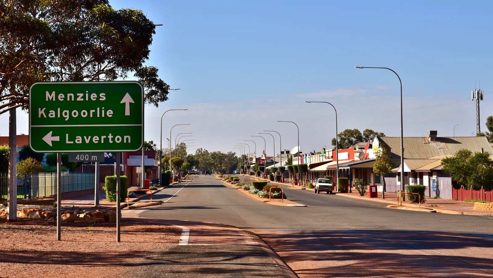
Australia’s Golden Outback calls Laverton, Western Australia the starting point of the Outback Way, linking the Goldfields with Alice Springs and Winton, and the start point for the Anne Beadell Highway toward Coober Pedy. It sits in the Northern Goldfields at the western edge of the Great Victoria Desert. It is not Laverton in Victoria, the Melbourne-side suburb. If a search result, booking site or weather app shows a suburban railway station, Point Cook or a Geelong day trip, you are looking at the wrong place. The Australian Bureau of Statistics labels this locality Laverton (L) and Laverton (WA) so the two places stay apart in Census products. Use those labels.
On this site the western neighbour with a full guide is Leonora (and Gwalia). The inventory row that once bundled “leonora and laverton” is split: Leonora already had a page; this hub is the Goldfields–desert town, not a Leonora suburb.
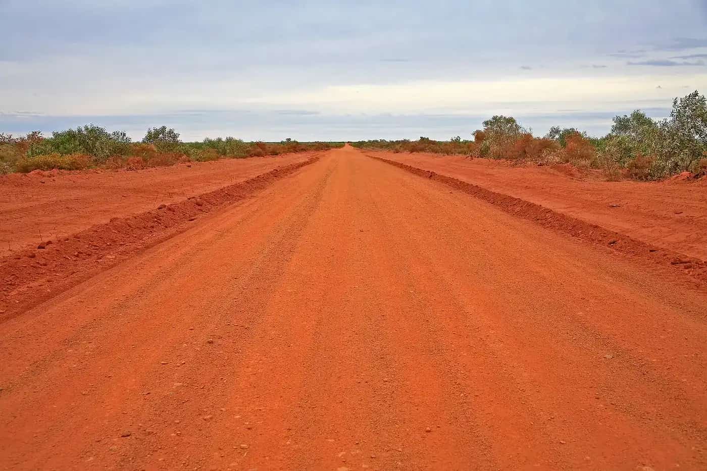
The Great Central Road east of town is the Outback Way toward Warburton. It crosses Aboriginal land. Read the permit rules before you pack. Ngaanyatjarra Council says travellers are not permitted to enter communities except people providing essential services. This guide does not invent access into Cosmo Newbery or any other named community.
Where it is, and how far
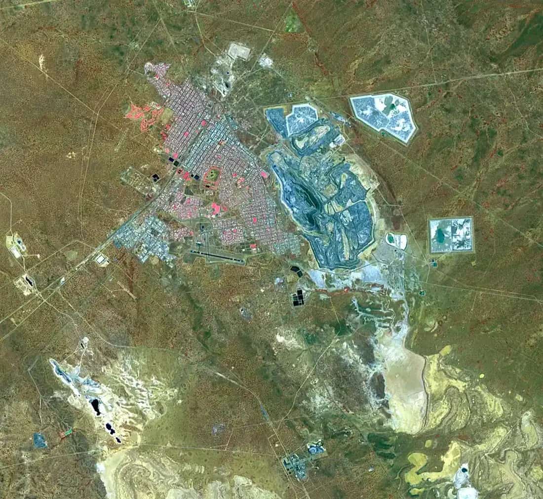
Laverton is east of Leonora on the Goldfields network, the last town the shire describes before phone service drops on the desert road. The Bureau of Meteorology’s Laverton Aero station is at 28.61°S, 122.42°E, elevation 464 m. Use those coordinates, not a Victoria pin.
A sourced Leonora–Laverton kilometre was not on the Shire of Laverton or Golden Outback town pages used here, so this table does not invent one. Leonora’s existing guide on this site already points east to Laverton as the Great Central Road start.
| Place | Distance from Laverton (sourced) |
|---|---|
| Warburton | 560 km of gravel road northeast (Shire of Ngaanyatjarraku Our Region) |
| Tjukayirla Roadhouse | 306 km (Outback Way FAQs, as the Laverton–Tjukayirla fuel stretch) |
| Winton (Outback Way) | 2800 km (Shire of Laverton Outback Way page); 2,720 km on the Australian Government figure used on this site’s Outback Way guide |
| Windarra Mine Site Lookout | 28 km north-west (Shire of Laverton What to Do) |
| Burtville | 20 km (Shire of Laverton What to Do) |
| Mt Morgans Cemetery | approximately 50 km (Shire of Laverton What to Do) |
| Laverton Cemetery | five minutes’ drive south of town, off Mount Weld Drive (Shire of Laverton) |
The Outback Way page also says a maximum of 300 km between food, fuel and sleep stops on that 2800 km journey, and 1600 km of dirt road. Of about 2700 km, the Outback Way FAQs say roughly 1150 km remained to seal, completion due 2032.
Facts at a glance
Population. Australian Bureau of Statistics 2021 Census, Urban Centres and Localities UCL522039 Laverton (L): 407 people. Median age 39. Sex split 53.1% male / 46.9% female. Aboriginal and/or Torres Strait Islander people 151 (37.1%). 78 families, 238 private dwellings. Suburbs and localities SAL50836 Laverton (WA): 907. Local government area LGA54970: 1,333. Do not mix this with Laverton Victoria. Use UCL for the town. Read ABS QuickStats for Laverton (L).
Climate. Bureau of Meteorology LAVERTON AERO, 012305, commenced 1991, open. Location 28.61°S, 122.42°E, elevation 464 m. Annual mean rainfall 275.7 mm (31 years, 1994–2026). Hottest month by mean maximum: January 35.8 °C. Coolest month by mean maximum: June 18.6 °C (July 18.7 °C). Annual mean maximum 27.4 °C, mean minimum 14.2 °C. Full table: BOM Laverton Aero. See Laverton WA weather.
Visitor centre. Great Beyond Visitor Centre / Explorers Hall of Fame, 5 Augusta Street. (08) 9031 1361, greatbeyond@laverton.wa.gov.au. Shire: Monday–Friday 9.00am–4.30pm; Saturday, Sunday and public holidays 9.00am–1.00pm. Open seven days on that page. The shire calls it the last place with phone service before the desert road.
Shire office. 9 MacPherson Place, (08) 9031 1202, reception@laverton.wa.gov.au.
Traditional Owners
The Shire of Laverton Outback Way page says the route lets travellers learn about the ancient Aboriginal culture of the Wongatha and Ngaanyatjarra people. The shire’s What to Do page places local Wongatha people at the Laverton Aboriginal Art Gallery. Outback Way FAQs refer the Laverton–Tjukayirla AAPA permit to Yilka Talintji Aboriginal Corporation. Golden Outback names silk scarves by Malukurukuru Enterprises at the gallery.
This guide follows those official names rather than flattening Wongatha, Yilka and Ngaanyatjarra onto one plaque sentence for the whole shire. Confirm current wording at the Great Beyond. Do not treat a transit permit as entry to a community.
Permits and access
The town itself is a Goldfields highway town. The Great Central Road east of Laverton is Aboriginal land. Outback Way FAQs: Aboriginal land is private land, not Crown land.
Two WA applications, on the Shire of Laverton Outback Way page and the Outback Way FAQs:
- Laverton to Tjukayirla Roadhouse — Aboriginal Affairs Planning Authority (AAPA) Lands Permit through ALPS / Department of Planning, Lands and Heritage. Outback Way FAQs say this is referred to Yilka Talintji Aboriginal Corporation.
- Tjukayirla Roadhouse to the NT border — Ngaanyatjarra Council 3-day transit permit. Council lists Great Central Road for automatic approval. Standard permit: three days and two nights. Travellers may enter roadhouses. Communities: no, except essential services.
Northern Territory — Central Land Council transit for Tjukaruru Road, on both the shire and Outback Way FAQ pages.
The shire recommends printing a copy in case devices go flat, and notes some permit systems need a computer rather than a phone. The Great Beyond team helps with permits. Ngaanyatjarra Council does not issue permits for the Anne Beadell Highway; Golden Outback and the shire still name that track as starting at Laverton — treat it as a separate, harder permission problem, not an automatic GCR add-on.
Wider planning: fuel, permits and road conditions and remote-area travel safety.
History
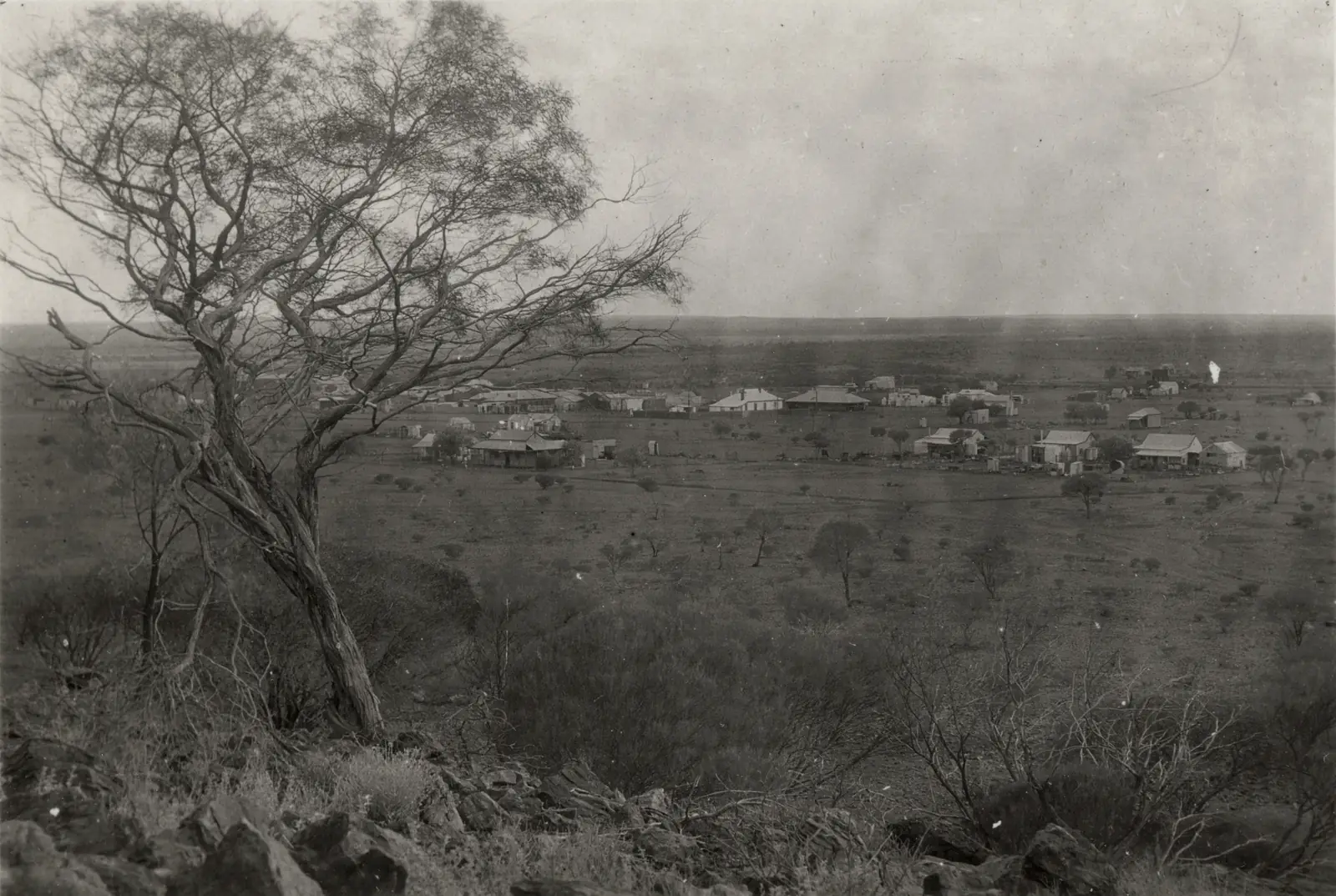
Golden Outback is the sourced town history used here. The place began as the British Flag Mine in the gold-rush era. Gazetted in 1900, named for Dr Charles Laver, who rode into town on a pushbike from Coolgardie in 1896 and remained as the town’s doctor. A statue in the main park stands as a tribute. Hardships after the rush included the depression in the 1930s and removal of the train line in 1956. Nickel at nearby Windarra in 1969 (the Poseidon boom) gave the town a new lease of life. Golden Outback also names mid- to late-19th-century expeditions by John Forrest and Ludwig Leichhardt through the district; those explorer stories are the Great Beyond’s subject.
The shire’s Windarra lookout page repeats the Poseidon Nickel Boom of 1969. Burtville, on the shire and Golden Outback pages, is a former outback town the Golden Outback listing calls one of the wildest settlements in the goldfields.
This guide stops there. It does not invent a boom population.
Things to do
Start at the Great Beyond. A fuller order of a day: things to do in Laverton WA.
Great Beyond Explorers Hall of Fame — shire: explorers, pioneers and women of the era; gold rush to flora and fauna; pastoral history to the nickel boom of 1969; visitor centre, gift shop and café. Hours above.
Old Police Precinct — 14 Erlistoun Street on the shire What to Do page: Police Sergeant’s residence, former Police Office, old jail; open 11.00am–1.00pm daily or by arrangement through the Great Beyond.
Laverton Aboriginal Art Gallery — 4 Euro Street (corner Augusta and Euro). Wongatha art and artefacts; some work for sale. Golden Outback adds Malukurukuru silk scarves; dyeing demonstrations by prior arrangement.
Dr Laver statue — Golden Quest Discovery Trail Site 13; Laverton is the northernmost site on that 965 km self-drive (shire).
Windarra Mine Site Lookout — 28 km north-west; Poseidon-era structures; sunset over the nearby lake known as The Boats (shire).
Laverton Cemetery and lonely bush graves — shire, including Burtville 20 km out. Outback Grave Markers plaques and QR codes on the town cemetery page.
Giles Breakaway — Golden Outback: scenic photographs. No kilometre on that page, so none here.
Golden Quest, Anne Beadell, Gunbarrel and David Carnegie Road — named 4WD spokes on the shire What to Do page. Permits and road reports first.
Where to stay
The shire Where to Stay page currently names:
- Desert Inn Hotel — 2 Laver Place, 08 9031 1188 / 0436 615 094. Shire: historic hotel, 26 air-conditioned motel rooms, restaurant and counter meals.
- Laverton Chalet / Motel — 29 Augusta Street, 08 9031 1130. Shire: self-contained 2- and 3-bedroom units.
Golden Outback adds hotel, motel and caravan park as town types. A named caravan-park operator was not on the shire Where to Stay page used for this research. Confirm at the Great Beyond whether a town park is open the week you travel. Do not copy a third-party park name this hub has not sourced.
- How to choose: Laverton WA accommodation
- Parks: Laverton WA caravan parks
- Feature your business
If Laverton is full, Leonora is the western Goldfields neighbour on this site. That is a neighbour fact, not a kilometre we invented.
Caravan and camping
Ask the Great Beyond which designated sites exist this week. The shire’s current stay page names hotel and chalet types, not a park sheet. Do not camp in community living areas. Do not assume a rest bay on the Great Central Road is a legal overnight without the permit conditions. After rain, closed roads stay closed. Read Laverton WA caravan parks and outback camping.
Fuel and services
The shire eat-and-drink page names Laverton Roadhouse at 1 Cox Street, 08 9031 1210, for fuel, food supplies and a meal, plus a supermarket-style deli. The Great Beyond café is the other named food stop, open seven days on that page. Outback Way FAQs: Opal fuel is used further east at Tjukayirla, Warburton and Warakurna as the unleaded equivalent; the Laverton–Tjukayirla stretch is 306 km. Fill here. This guide does not list bowser brands’ prices or a 24-hour guarantee.
Parks WA lists the Great Beyond Visitor Centre among Golden Outback places that sell park passes. That does not put a national park on Augusta Street.
Road access
Toward Leonora and Kalgoorlie-Boulder — Goldfields Highway network. Main Roads WA, 138 138.
Great Central Road / Outback Way — shire: mostly gravel, high-clearance 4WD advisable, corrugations and sand drifts, conditions change quickly. Check:
- Shire of Laverton road condition reports
- Shire of Ngaanyatjarraku road reports
- Main Roads WA travel map
- NT road reports once you leave WA
The shire road report used in research told heavy vehicles to seek advice even when the Great Central Road was passable to most traffic. Closed means closed. Fines apply on closed roads in the Ngaanyatjarraku notes used on this site’s Warburton guide.
Skippers Aviation is named by Golden Outback for scheduled Perth–Laverton flights. Confirm with the airline.
Nearby parks and towns
There is no national park inside Laverton on the Parks WA pages used for this research. Nature stops are shire and Golden Outback sites: Windarra lookout, Giles Breakaway, Burtville country.
On this site:
- Leonora — Goldfields Highway neighbour, Gwalia historic precinct
- Kalgoorlie-Boulder — Goldfields service city on the western approach
- Warburton — 560 km of gravel, Ngaanyatjarra Lands, permit-controlled
- The Outback Way — Laverton to Winton
- Wiluna — Canning and Gunbarrel gateway, a different desert-edge town
- Sandstone and Mount Magnet — Murchison if you are looping rather than starting the Outback Way
- Newman and Halls Creek — not Laverton side roads; they sit on other WA corridors this hub links for trip planning
When to go, and how long
The shire Outback Way page names cooler months March to November as the best time to travel that road. January’s 35.8 °C mean maximum at Laverton Aero is hot for a cemetery walk at midday. June’s 18.6 °C mean maximum is the walking season; July’s 5.9 °C mean minimum is why a van night needs a layer. Annual rain 275.7 mm still includes storm bursts that close gravel.
One night covers the Great Beyond, police precinct and gallery. Two nights cover Windarra sunset and Burtville if the roads are open. An Outback Way departure is a permit-controlled crossing, not a third tourist day in town. See Laverton WA weather. Operators: feature your business. The listings slot stays empty until a checked listing exists.
Plan this trip
Tell us the dates, who you are travelling with and where you need help. We reply with planning notes for Laverton WA — we are not a booking agent.
Events and road-conditions newsletter
Occasional notes on outback festivals, race days and official road-condition sources — not a daily blast. We use these details only to send the newsletter.
Western Australia · Golden Outback
Laverton WA accommodation
Where to stay in Laverton WA: Desert Inn Hotel and Laverton Chalet/Motel named by the shire. Confirm any caravan park at the Great Beyond. Not Laverton Victoria.
Read · 3 min
Western Australia · Golden Outback
Laverton WA caravan parks
Camping in Laverton WA: Golden Outback names caravan park as a stay type; the shire’s current Where to Stay page names hotel and chalet. Confirm designated sites at the Great Beyond. Not Victoria.
Read · 3 min
Western Australia · Golden Outback
Laverton WA weather
Laverton WA climate from BOM Laverton Aero (012305): January mean max 35.8 °C, June 18.6 °C, annual rainfall 275.7 mm. Open station. Not Laverton Victoria.
Read · 4 min
Western Australia · Golden Outback
Things to do in Laverton WA
Things to do in Laverton WA: Great Beyond Explorers Hall of Fame, Old Police Precinct, Aboriginal art gallery, Windarra lookout and Burtville. Not Laverton Victoria.
Read · 4 min
Frequently asked questions
Is this Laverton in Victoria?
No. This guide is Laverton WA (ABS Laverton (L), UCL522039 / Laverton (WA), SAL50836) in the Goldfields, at the start of the Great Central Road / Outback Way. Laverton in Victoria is a separate Melbourne-side suburb and is not on this site.
What is Laverton WA’s population?
407 people at the 2021 Census for the urban centre (UCL522039). The suburbs-and-localities figure is 907 (SAL50836, labelled Laverton (WA)). The Shire of Laverton local government area counted 1,333 (LGA54970). Use the UCL figure for the town.
Do I need a permit to drive the Outback Way from Laverton?
Yes for the Great Central Road through Aboriginal land. The Shire of Laverton and the Outback Way FAQs require two WA permits: an AAPA / ALPS permit for Laverton to Tjukayirla Roadhouse (referred to Yilka Talintji), and a Ngaanyatjarra Council permit from Tjukayirla to the NT border. The Great Beyond Visitor Centre helps with permits.
How far is Laverton WA from Warburton and Winton?
The Shire of Ngaanyatjarraku Our Region page puts Warburton 560 km of gravel road northeast of Laverton. The Shire of Laverton Outback Way page puts Laverton to Winton at 2800 km. The Australian Government figure used on this site’s Outback Way guide is 2,720 km.
What is the weather like in Laverton WA?
BOM Laverton Aero (012305) has a January mean maximum of 35.8 °C, a June mean maximum of 18.6 °C and annual mean rainfall of 275.7 mm. The station is open. The full table is on the BOM page.
Sources and further reading
Facts on this page were checked against these primary and official sources. Conditions change — confirm before you travel or buy.
- Goldfields hospitals and health services — WA Country Health Service
- Laverton (L) 2021 Census QuickStats (UCL522039) — Australian Bureau of Statistics
- Laverton (WA) 2021 Census QuickStats (SAL50836) — Australian Bureau of Statistics
- Laverton 2021 Census QuickStats (LGA54970) — Australian Bureau of Statistics
- Climate statistics for Laverton Aero (012305) — Bureau of Meteorology
- The Great Beyond Visitor Centre — Shire of Laverton — Shire of Laverton
- The Outback Way — Shire of Laverton — Shire of Laverton
- What to Do And See — Shire of Laverton — Shire of Laverton
- Where To Stay — Shire of Laverton — Shire of Laverton
- Where to eat and drink — Shire of Laverton — Shire of Laverton
- Road Condition Reports — Shire of Laverton — Shire of Laverton
- Laverton — Australia’s Golden Outback — Australia's Golden Outback
- Outback Way FAQs — Outback Highway Development Council
- Permits — Ngaanyatjarra Council — Ngaanyatjarra Council
- Apply for a permit to access or travel through Aboriginal land — Government of Western Australia
- Our Region — Shire of Ngaanyatjarraku — Shire of Ngaanyatjarraku
- Main Roads WA travel map — Main Roads Western Australia