At a glance
Sourced facts only. Distances and services change — confirm before you travel.
- Surface
- Rough unsealed bush track through vegetated dunes and gibber (Tallaringa Conservation Park visitor page).
- Vehicle
- Parks SA lists it as a four-wheel driving adventure. Defence and park access can close around you — this is not a 2WD Goldfields highway.
- Fuel stops
- Fill at Coober Pedy and Laverton. Ilkurlka is a named roadhouse on the WA side of this corridor — confirm hours before you treat it as a bowser. Parks SA: no facilities in Tallaringa; camp within 50 m of the main track.
- Nearest towns
- Coober Pedy (SA start). Laverton (WA end, Golden Outback and Shire of Laverton). Not a Wiluna or Great Central Road page.
- Traditional Owners
- Maralinga Tjarutja Lands on the SA west (Parks SA permit list). Ngaanyatjarra Lands on the WA side — Council does not issue this track’s permit. Parks SA’s Tallaringa page uses the statewide Traditional Owners acknowledgement rather than naming a single nation for the park.
- Best time to visit
- Cooler months. BOM Coober Pedy Airport (016090) January mean maximum 36.9 °C; June 18.5 °C. Defence and rain closures override the calendar.
Climate
Monthly means from the Bureau of Meteorology station Coober Pedy Airport (016090). This is not a forecast. Nearest open BOM table for the SA start — not Laverton Aero. Mean maxima 32 years (1994–2026); rainfall 30 years (1994–2026). Do not blend with Woomera or Laverton.
| Month | Mean max (°C) | Mean min (°C) | Rainfall (mm) |
|---|---|---|---|
| Jan | 36.9 | 22.3 | 13.8 |
| Feb | 35.6 | 21.5 | 13.9 |
| Mar | 32.2 | 18.7 | 13.1 |
| Apr | 27.3 | 14.5 | 13.4 |
| May | 22.1 | 9.9 | 9.0 |
| Jun | 18.5 | 7.0 | 13.4 |
| Jul | 18.7 | 6.3 | 5.0 |
| Aug | 21.2 | 7.7 | 7.5 |
| Sep | 25.9 | 11.3 | 7.9 |
| Oct | 29.1 | 14.4 | 13.6 |
| Nov | 32.1 | 17.6 | 16.0 |
| Dec | 34.8 | 20.1 | 18.8 |
Anne Beadell Highway in pictures
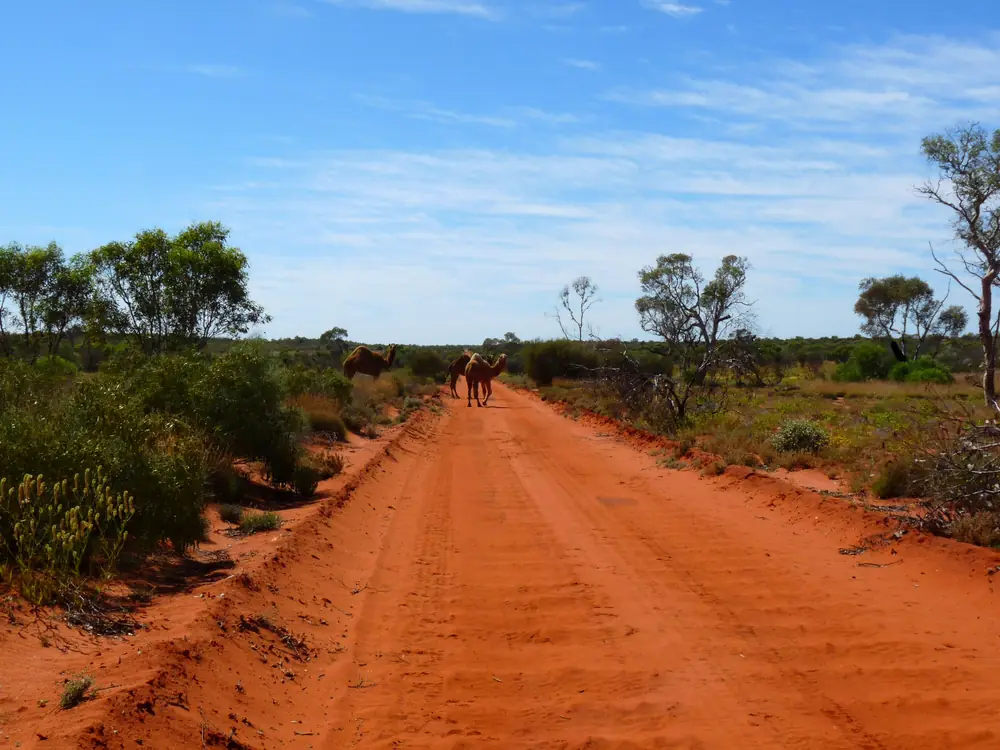
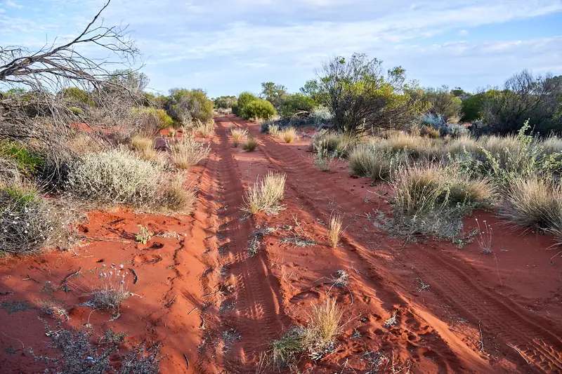
Anne Beadell Highway through Great Victoria Desert countryPhoto: Marian Deschain · CC BY-SA 3.0 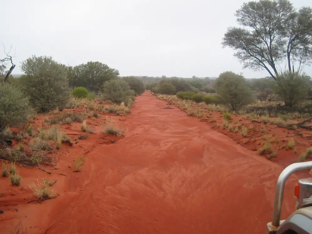
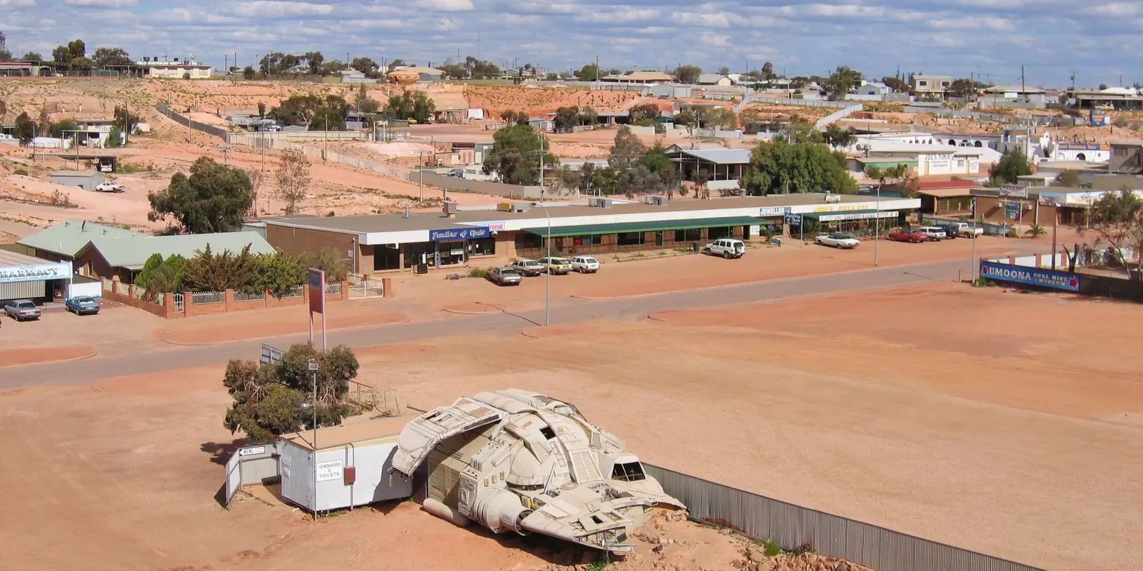
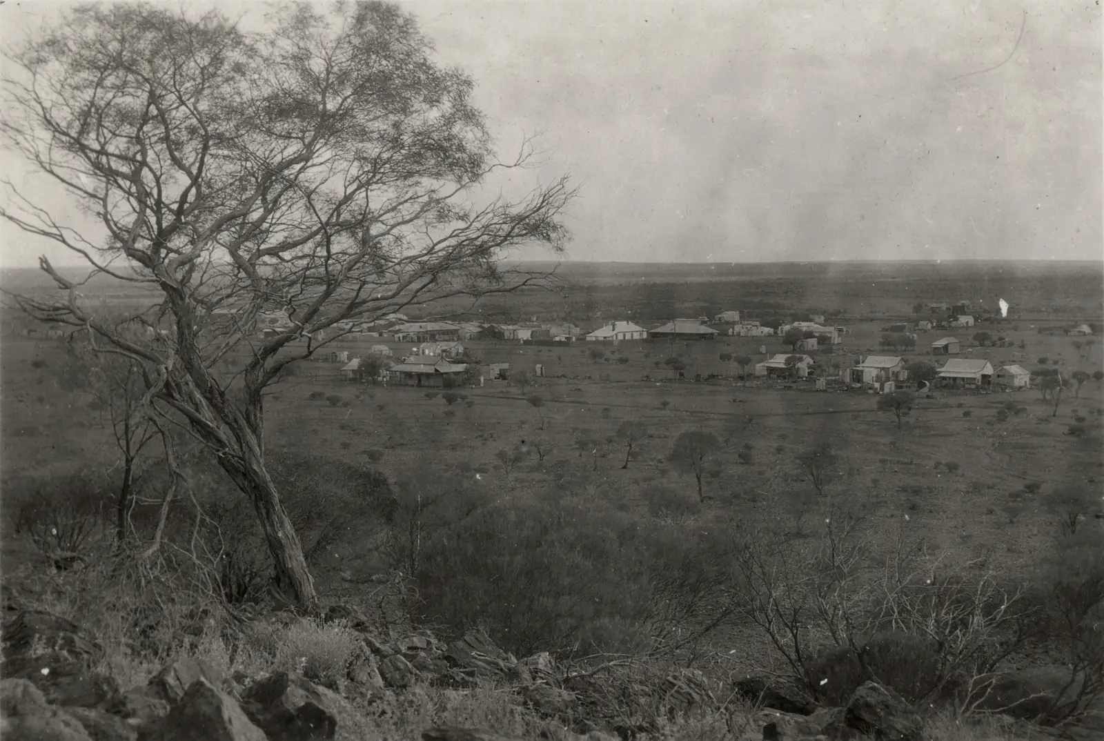
Anne Beadell Highway in 2006Photo: Gazjo at English Wikipedia · Public domain 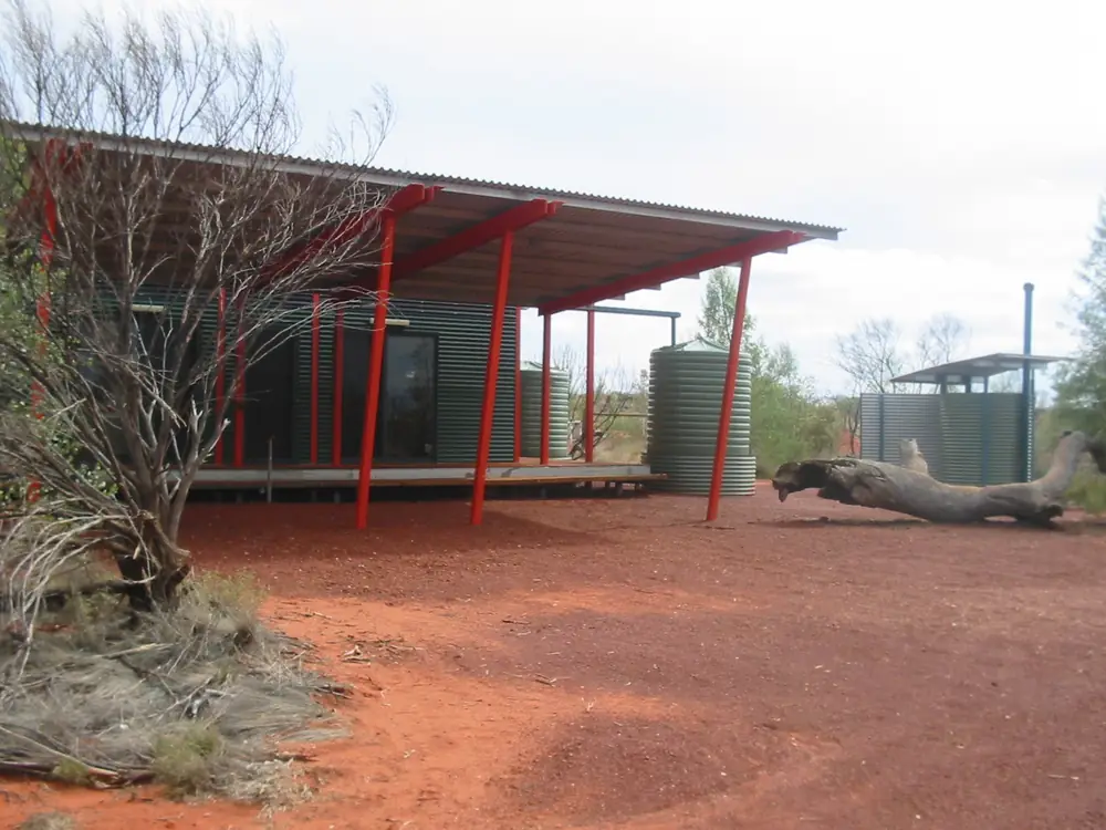
Ilkurlka Roadhouse on the Anne Beadell HighwayPhoto: Gazjo at English Wikipedia · Public domain 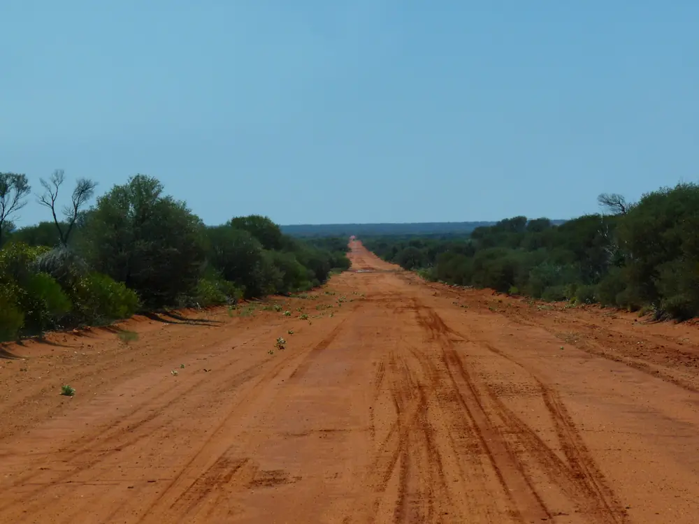
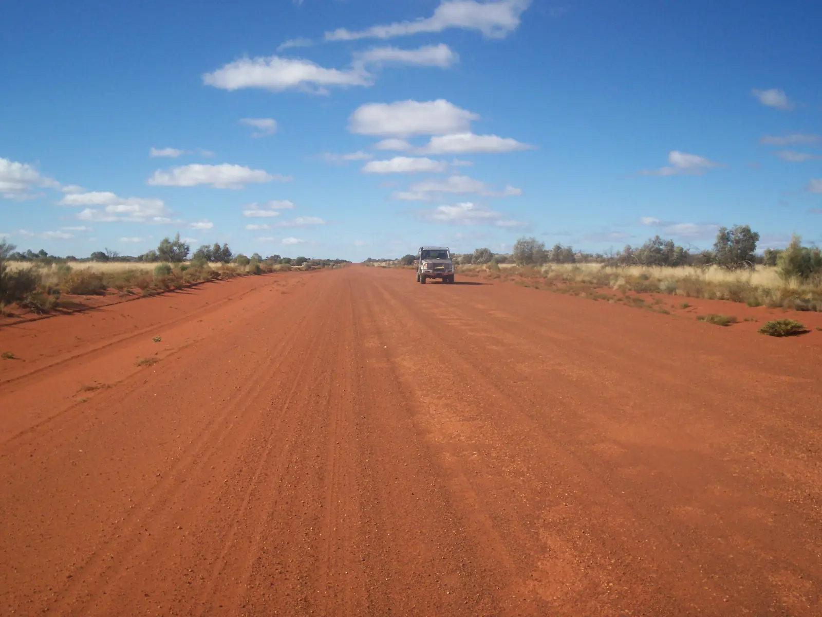
Unsealed Anne Beadell HighwayPhoto: Marian Deschain · CC BY-SA 3.0
The Anne Beadell Highway is Len Beadell’s Great Victoria Desert survey track. Parks SA’s Tallaringa Conservation Park page calls it a rough bush track linking Coober Pedy to Laverton over 1,300 km, named after his wife. Golden Outback also names Laverton as a start point toward Coober Pedy.
It is not the Great Central Road and not the Gunbarrel Highway. Ngaanyatjarra Council will not stamp this one as an automatic 3-day transit.
Permits Parks SA lists
Before you travel the Anne Beadell Highway, Parks SA says obtain:
- Tallaringa Conservation Park — book vehicle entry and camping online. Printed fees on the park page: $14.40 per vehicle and $23.10 per night accommodation. Camp within 50 m of the main track; no designated campgrounds; no facilities; no dogs; no mobile coverage.
- Woomera Prohibited Area — Tourist Access Permit — issued by the Woomera Test Range. Not issued more than 12 months in advance. Required for each vehicle. Tourists must give at least 10 business days’ notice that they will enter on the dates on the permit. Parks SA: access may be restricted by Defence as well as by road conditions.
- Mabel Creek Station — permits are not required. Observe signs; leave gates as you found them.
- Maralinga Tjarutja Aboriginal Lands and Mamungari Conservation Park — permit from the Maralinga Tjarutja Administration office, 43 McKenzie St, Ceduna, (08) 8625 2946. Parks SA: allow 4–6 weeks.
On the WA side, Ngaanyatjarra Council does not issue or approve Anne Beadell Highway permits. The Council FAQ points those processes to the Department of Planning, Lands and Heritage.
Safety and access
Check the Desert Parks Bulletin and SA outback road warnings before you leave Coober Pedy. Check Main Roads WA and the Shire of Laverton near the western end. Carry water, recovery gear and a satellite communicator. This is self-sufficient desert travel.
Nearby hubs
Plan this trip
Tell us the dates, who you are travelling with and where you need help. We reply with planning notes for Anne Beadell Highway — we are not a booking agent.
Frequently asked questions
How long is the Anne Beadell Highway?
Parks SA’s Tallaringa Conservation Park page describes it as a rough bush track linking Coober Pedy to Laverton over 1,300 km.
What permits do I need for the Anne Beadell Highway?
Parks SA lists four items: Tallaringa Conservation Park; a Woomera Prohibited Area tourist access permit from the Woomera Test Range (10 business days’ notice; not issued more than 12 months ahead); Mabel Creek Station (no permit — leave gates as found); and a Maralinga Tjarutja permit for the Lands and Mamungari Conservation Park (allow 4–6 weeks). Ngaanyatjarra Council does not issue Anne Beadell permits. WA Aboriginal-land remainder is a DPLH process.
Does Ngaanyatjarra Council cover the Anne Beadell Highway?
No. Council’s permit FAQ lists Anne Beadell Highway, Gary Junction Road, Neale Junction and Kiwirrkurra entry among things it does not issue or approve. Apply through the Department of Planning, Lands and Heritage for those WA processes.
How much is Tallaringa Conservation Park?
Parks SA’s Tallaringa page prints vehicle entry $14.40 per vehicle and accommodation $23.10 per night, payable before entry. Camp within 50 m of the main track; there are no designated campgrounds.
Is there mobile coverage in Tallaringa?
Parks SA: there is no mobile phone coverage in the park.
Sources and further reading
Facts on this page were checked against these primary and official sources. Conditions change — confirm before you travel or buy.
- Tallaringa Conservation Park — National Parks and Wildlife Service SA
- Permits — Ngaanyatjarra Council — Ngaanyatjarra Council
- Apply for a permit to access or travel through Aboriginal land — Government of Western Australia
- Climate statistics for Coober Pedy Airport (016090) — Bureau of Meteorology
- Outback road warnings — Government of South Australia
- Main Roads WA travel map — Main Roads Western Australia