At a glance
Sourced facts only. Distances and services change — confirm before you travel.
- Surface
- Mix of dual-lane seal, single-lane seal and unsealed gravel. Conditions change with traffic and weather (Outback Way FAQs). High-clearance 4WD is the usual recommendation for unsealed sections.
- Vehicle
- Outback Way FAQs: a high-clearance 4WD is the usual recommendation for unsealed sections, particularly in WA. Check hire-contract exclusions.
- Fuel stops
- Outback Way FAQs: Laverton to Tjukayirla Roadhouse 306 km. Opal fuel at Warakurna, Warburton and Tjukayirla as the equivalent to unleaded. Roadhouses may be entered; they are independently owned. Confirm hours. Fill at Laverton before the first gap.
- Nearest towns
- Laverton (WA start). Warburton / Milyirrtjarra (transit community — do not enter residential streets). Yulara and Alice Springs on the NT side of the Outback Way.
- Traditional Owners
- Yilka Talintji on the Laverton–Tjukayirla referral (Outback Way FAQs). Ngaanyatjarra People on the Lands (Ngaanyatjarra Council). CLC for Tjukaruru Road.
- Best time to visit
- Cooler months. BOM Laverton Aero (012305) January mean maximum 35.8 °C; June 18.6 °C. Warburton Airfield (013011) January 38.0 °C; July 20.9 °C. Permit and road status override the calendar.
Climate
Monthly means from the Bureau of Meteorology station Warburton Airfield (013011). This is not a forecast. Nearest open table on the Ngaanyatjarra Lands — not Laverton Aero and not a Yarra Ranges gauge. Temperature maxima 53 years (1940–2026); rainfall 60 years (1940–2026). Product date on the Warburton hub research copy 14 November 2026.
| Month | Mean max (°C) | Mean min (°C) | Rainfall (mm) |
|---|---|---|---|
| Jan | 38.0 | 23.3 | 30.7 |
| Feb | 36.8 | 22.5 | 32.9 |
| Mar | 34.4 | 20.4 | 29.6 |
| Apr | 29.7 | 15.6 | 17.2 |
| May | 24.4 | 10.5 | 14.6 |
| Jun | 20.8 | 6.7 | 17.9 |
| Jul | 20.9 | 5.8 | 11.1 |
| Aug | 23.5 | 7.6 | 8.7 |
| Sep | 28.2 | 11.8 | 6.5 |
| Oct | 32.1 | 16.2 | 16.6 |
| Nov | 34.5 | 19.0 | 24.6 |
| Dec | 36.8 | 21.7 | 32.8 |
Great Central Road in pictures
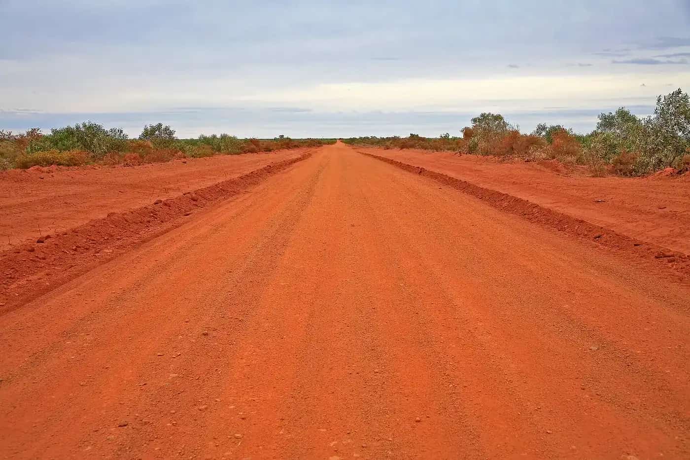
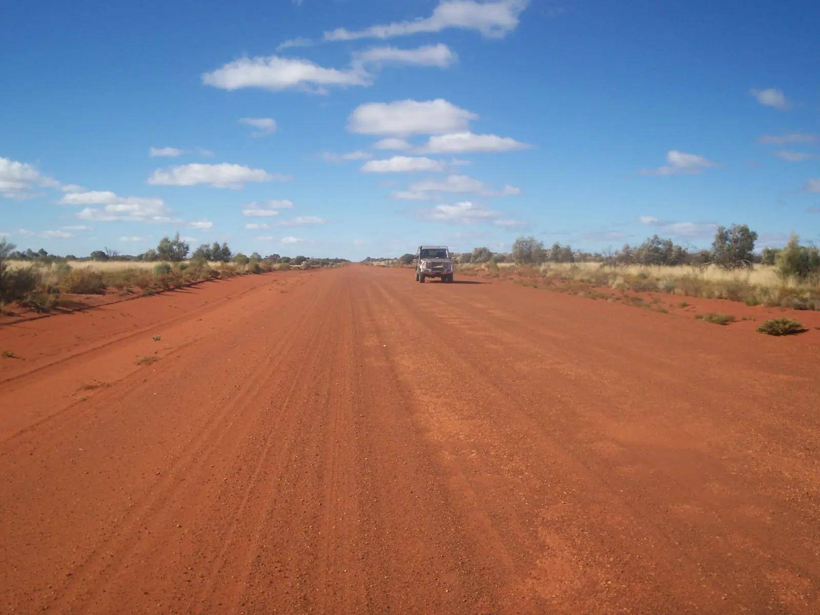
Great Central Road in Western AustraliaPhoto: Elrebe56 · CC BY-SA 3.0 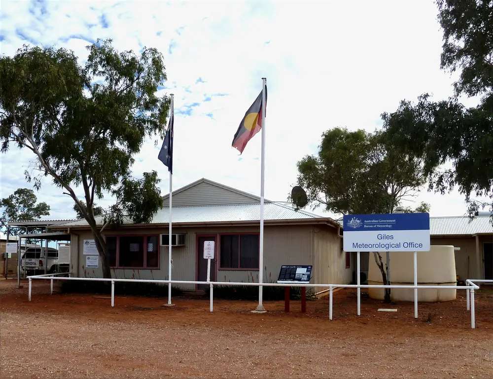
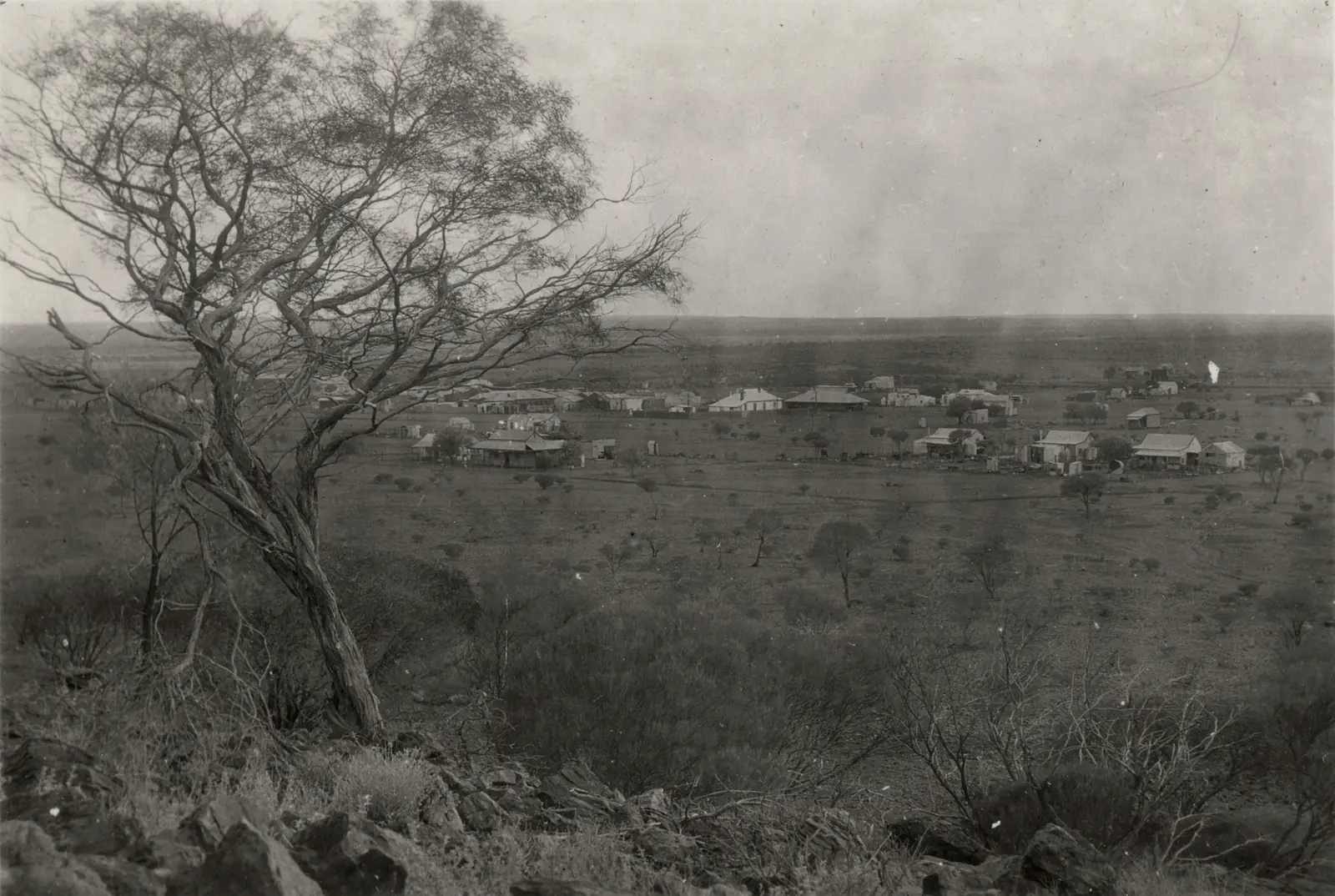
Giles Weather Station on the Great Central Road corridorPhoto: Summerdrought · CC BY-SA 4.0 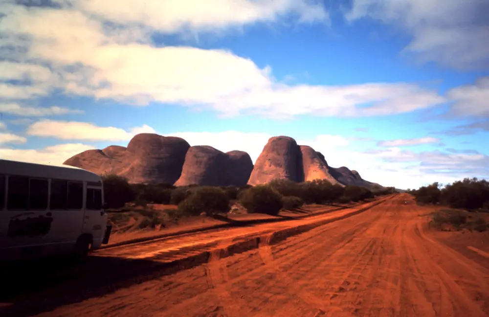
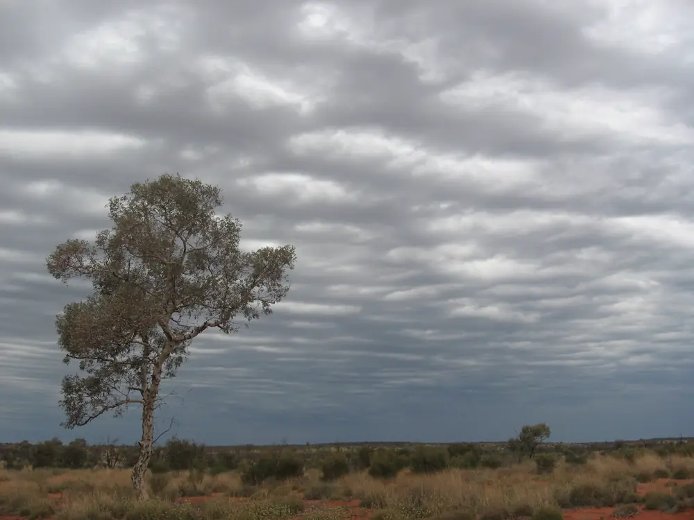
Tjukaruru Road near Kata Tjuta — the NT continuation toward Uluru, not the WA Great Central RoadPhoto: Kelisi · CC BY-SA 4.0
The Great Central Road is the WA desert spine of the Outback Way: Laverton through Warburton toward the NT border, then CLC’s Tjukaruru Road toward Yulara. Aboriginal land here is private land (Outback Way FAQs). It is not the Gunbarrel Highway out of Wiluna.
Permits
Outback Way FAQs and the Shire of Laverton: two WA permits for the full Great Central Road.
- Laverton to Tjukayirla Roadhouse — DPLH / ALPS, referred to Yilka Talintji.
- Tjukayirla to the NT border — Ngaanyatjarra Council 3-day transit (three days and two nights). Great Central Road is on the automatic approval list.
- Tjukaruru Road (NT) — Central Land Council transit. CLC: the Tjukaruru permit between Uluru–Kata Tjuta National Park and the WA border allows day access to Tjunti (Lasseter’s Cave); camping only at the Kaltukatjara (Docker River) campground.
Outback Way FAQs: permits give 3 days Yulara to Docker River and 3 days WA border to Laverton. You do not need to print the permit; have it available on your phone.
Ngaanyatjarra Council: visitors on the Great Central Road are not allowed to enter communities, except essential-service providers. Roadhouses: yes. Abandoned Gunbarrel: not open — that is a different track.
The Great Beyond Visitor Centre in Laverton helps with permits. Some permit systems need a computer, not a phone.
Fuel and sealing
Outback Way FAQs:
- 306 km Laverton to Tjukayirla Roadhouse.
- Opal fuel at Warakurna, Warburton and Tjukayirla as the unleaded equivalent.
- Of about 2,700 km, about 1,150 km remained to seal, due 2032. Grab the annual paper map.
Shire of Ngaanyatjarraku: Warburton is 560 km of gravel northeast of Laverton. Check shire road reports and Main Roads WA.
Safety
Carry water, recovery gear and a satellite communicator. Tell someone your plans. Do not treat a transit permit as a community tour. See fuel, permits and road conditions.
Nearby hubs
- Laverton
- Warburton
- Yulara
- Outback Way
- Anne Beadell Highway — separate permits
Plan this trip
Tell us the dates, who you are travelling with and where you need help. We reply with planning notes for Great Central Road — we are not a booking agent.
Frequently asked questions
Is the Great Central Road the same as the Outback Way?
The Great Central Road is the WA desert leg. The Outback Way is the full Laverton–Winton chain (Australian Government 2,720 km). This page is the WA track; the road-trip wrap is on /road-trips/outback-way.
Do I need a permit for the Great Central Road?
Yes. Outback Way FAQs and the Shire of Laverton: a DPLH / ALPS permit for Laverton to Tjukayirla (referred to Yilka Talintji) and a Ngaanyatjarra Council 3-day transit from Tjukayirla to the NT border. CLC transit for Tjukaruru Road in the NT. Great Central Road is on Ngaanyatjarra’s automatic-approval list.
Can I drive into Warburton community?
Ngaanyatjarra Council and the Shire of Ngaanyatjarraku: visitors travelling the Great Central Road are not permitted to enter communities except essential-service providers. Council says travellers may enter roadhouses.
How far is it between fuel stops?
Outback Way FAQs: 306 km between Laverton and Tjukayirla Roadhouse. Opal fuel at Warakurna, Warburton and Tjukayirla. Confirm each roadhouse before you leave.
Is the Great Central Road sealed?
Not fully. Outback Way FAQs: of about 2,700 km, about 1,150 km remained to seal, due for completion in 2032. Conditions vary from dual-lane seal to unsealed.
Sources and further reading
Facts on this page were checked against these primary and official sources. Conditions change — confirm before you travel or buy.
- Outback Way FAQs — Outback Highway Development Council
- Permits — Ngaanyatjarra Council — Ngaanyatjarra Council
- The Outback Way — Shire of Laverton — Shire of Laverton
- Apply for a permit to access or travel through Aboriginal land — Government of Western Australia
- Our Region — Shire of Ngaanyatjarraku — Shire of Ngaanyatjarraku
- Climate statistics for Warburton Airfield (013011) — Bureau of Meteorology
- Permits — Central Land Council — Central Land Council