At a glance
Sourced facts only. Distances and services change — confirm before you travel.
- Size
- National park 48.51 km² (CAPAD). Murujuga Cultural Landscape World Heritage area nearly 100,000 hectares (UNESCO / Parks WA, July 2025), covering the Burrup Peninsula, 42 islands of the Dampier Archipelago and nearby marine areas.
- Nearest towns
- Karratha and Dampier. Australia’s North West: Dampier 20 km west of Karratha. Murujuga drive figures disagree — City of Karratha and Australia’s North West print different kilometres; this guide does not pick one.
- Access
- 2WD via Dampier Highway and Burrup Road to Nganjarli (Deep Gorge). Parks WA: 700 m boardwalk, designed for easy access including young children on visitor reviews Parks WA reprints. Stay on designated paths. Do not walk on engraved rock.
- Entry and camping fees
- Parks WA: entry to Murujuga National Park is free. No dogs or other pets. No camping listed on the current Parks WA park page.
- Traditional Owners
- Mardudhunera, Ngarluma, Wong-Goo-Tt-Oo, Yaburara and Yindjibarndi people — Ngarda-Ngarli is their collective name (Parks WA). Represented by Murujuga Aboriginal Corporation.
- Best time to visit
- Australia’s North West treats May–September as the tour season on this coast. BOM Karratha Aero July mean maximum 26.5 °C; March 36.3 °C. Cyclones are a coastal packing problem. A visitor review Parks WA reprints suggests late afternoon light on the engravings.
Climate
Monthly means from the Bureau of Meteorology station Karratha Aero (004083). This is not a forecast. Nearest open BOM table for Karratha/Dampier. Temperature 33 years (1993–2026); rainfall 49 years (1972–2026). Commenced 1971. Elevation 5 m. Latest available data 13 November 2026. Summer-peak rain (February 74.7 mm). Do not blend with Roebourne Aero or Port Hedland Airport.
| Month | Mean max (°C) | Mean min (°C) | Rainfall (mm) |
|---|---|---|---|
| Jan | 36.0 | 27.0 | 50.6 |
| Feb | 35.9 | 26.9 | 74.7 |
| Mar | 36.3 | 26.2 | 48.2 |
| Apr | 34.4 | 23.0 | 17.8 |
| May | 30.1 | 18.3 | 29.9 |
| Jun | 26.6 | 15.3 | 35.4 |
| Jul | 26.5 | 13.8 | 13.1 |
| Aug | 28.5 | 14.7 | 4.9 |
| Sep | 31.2 | 17.4 | 1.3 |
| Oct | 34.2 | 20.9 | 0.4 |
| Nov | 35.0 | 23.2 | 1.2 |
| Dec | 36.1 | 25.8 | 13.6 |
Murujuga National Park in pictures
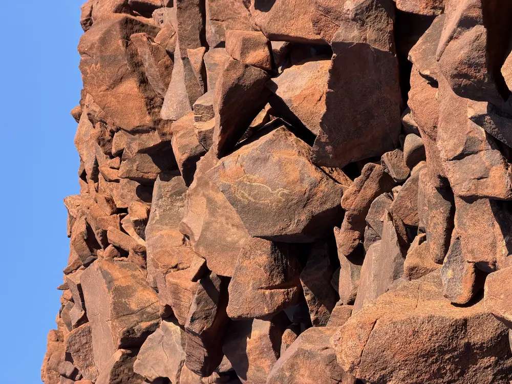
Rock engravings beside the Nganjarli walk in Murujuga National ParkPhoto: The editor next door · CC0 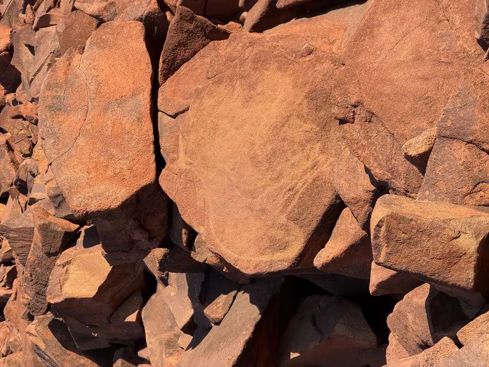
Engraved rock at Nganjarli in Murujuga National ParkPhoto: The editor next door · CC0 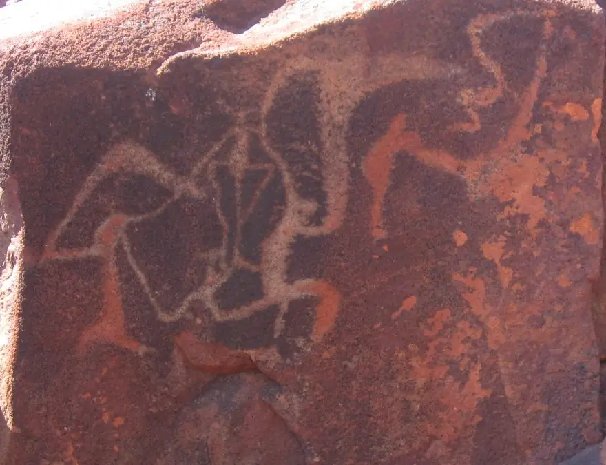
Aboriginal rock carving on the Burrup PeninsulaPhoto: Tradimus · CC0 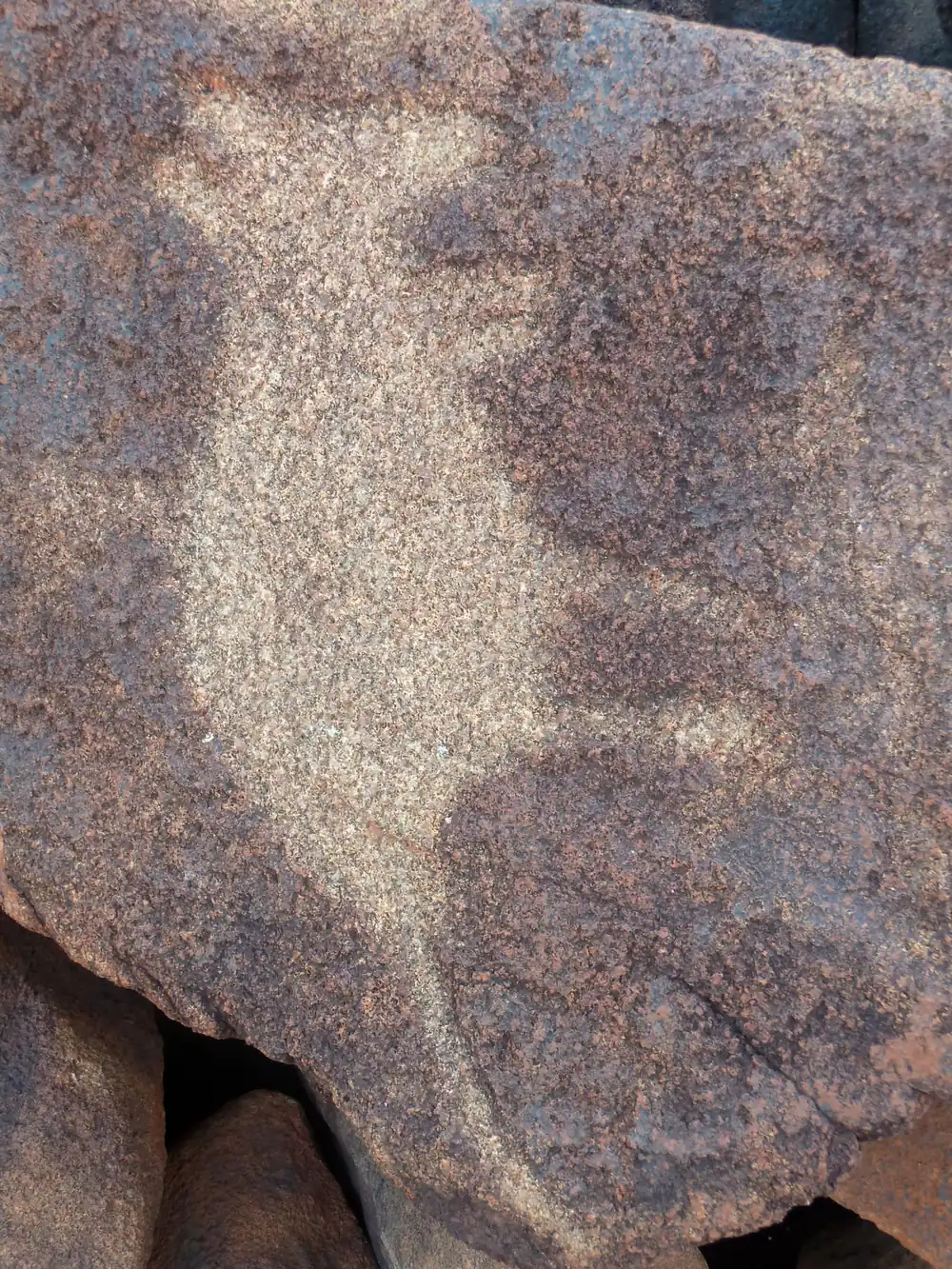
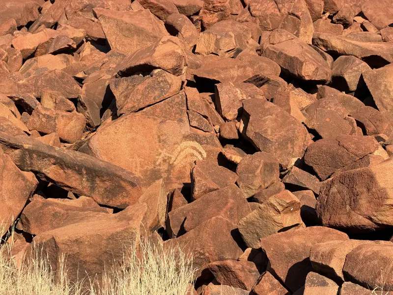
Petroglyph on rock in Murujuga National ParkPhoto: Jussarian · CC BY-SA 2.0
Parks WA recognises and acknowledges Mardudhunera, Ngarluma, Wong-Goo-Tt-Oo, Yaburara and Yindjibarndi people as the Traditional Owners of Murujuga National Park. Ngarda-Ngarli is their collective name. Parks WA: Murujuga is the first national park to be jointly managed in Western Australia. It is owned by the Murujuga Aboriginal Corporation (MAC), leased back to the State, and jointly managed by MAC and DBCA.
Murujuga means “Hip Bone Sticking Out” in the Ngarluma-Yaburara language. Parks WA: it refers to the 42 islands of the Dampier Archipelago, the Burrup Peninsula and the national park. The Ngarda-Ngarli have been part of Murujuga for tens of thousands of years.
This is a Burrup Peninsula park, reached from Karratha and Dampier. It is not Millstream Chichester and not Karijini.
Highlights
Parks WA: the highlight is the petroglyphs — art engraved onto rocks. Murujuga is home to the largest and most diverse collections of rock art in the world. Images capture at least 47,000 years of human existence on the park page; the World Heritage text Parks WA reprints speaks of continuous care and use for over 50,000 years, with an estimated one to two million images across the cultural landscape. This guide prints both official wordings and does not flatten them.
Engravings show human images, animals, birds and fish, including thylacines. Alongside the rock art: fish traps, rock shelters and stone arrangements.
Nganjarli (Deep Gorge) is the named visitor site: a 700 m boardwalk with interpretive signs. Stay on it.
Landscape: rock-strewn cliffs, narrow valleys, mangroves and mudflats. Parks WA: over 14 native mammal species, 14 bat species, 58 reptile species. Protected species named include the Pilbara olive python, Rothschild’s rock wallaby and several shorebirds.
In July 2025 the Murujuga Cultural Landscape was inscribed on the UNESCO World Heritage List following years of work by Ngarda-Ngarli Traditional Owners and Custodians represented by MAC.
Walks
The visitor walk Parks WA names is Nganjarli. This is not a gorge-circuit park. Do not treat industrial roads on the peninsula as walking tracks. A Parks WA visitor review reprinted on the park page: the boardwalk and signage make it easy to navigate even with very young children; some art is hard to make out in morning sun; late afternoon may be better; allow 30 minutes.
Download the Murujuga National Park visitor guide from Parks WA before you go. Karratha Parks and Wildlife Office: (08) 9182 2000.
Camping
Parks WA’s current Murujuga page does not list a campground. Stay in named parks in Karratha or the Esplanade transit option in Dampier. City of Karratha camping brochure: generally no free camping in the City, including Hearson’s Cove.
Safety and access
- No dogs. Western Shield 1080 baiting is ongoing. 1080 will kill domestic dogs and cats.
- No park entry fee.
- Stay on the boardwalk. Do not touch or walk on engravings. See visiting Country respectfully and rock art sites.
- Heat and cyclones. Karratha Aero March mean maximum 36.3 °C; February rain 74.7 mm. Carry water. Check Main Roads WA.
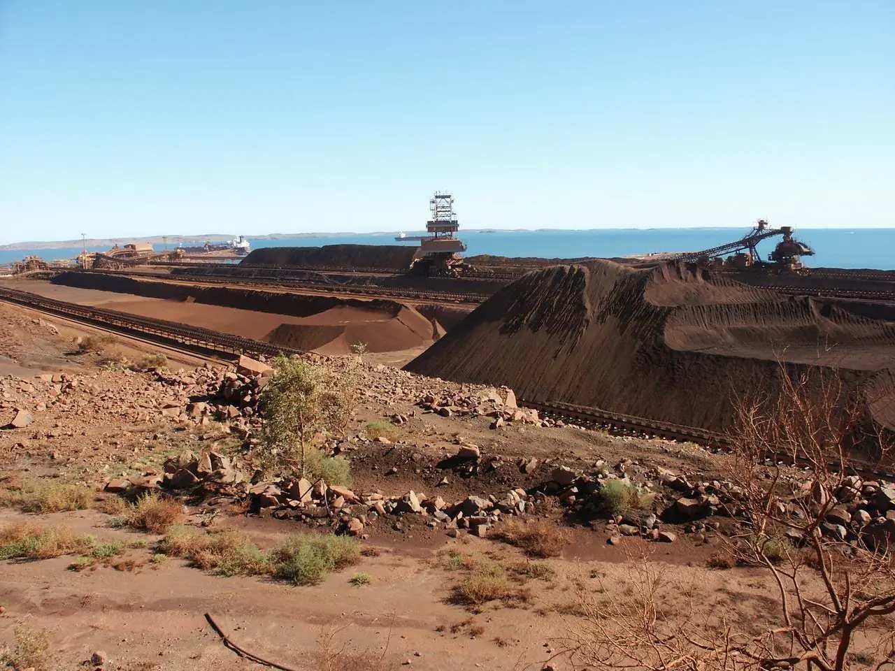
- Industry. The Burrup also holds heavy industry. That is the peninsula you drive through, not a reason to leave the path.
- Dingoes. Parks WA links a Be Dingo Aware brochure.
Parks WA also points to the Murujuga Project for new visitor infrastructure. Confirm what is open on the day.
Best time
May–September is the cooler, drier stretch on the Karratha Aero table (July mean maximum 26.5 °C, October rain 0.4 mm). The Wet and cyclone season is a coastal packing problem. The engravings are there year-round; light and heat change how easy they are to see.
Nearby towns and parks
- Karratha — Yaburara Heritage Trail, Hearson’s Cove, visitor centre
- Dampier
- Roebourne, Wickham, Cossack
- Millstream Chichester National Park — oasis inland; Australia’s North West puts it about a two-hour drive from Karratha
- Karijini National Park
This site has no Dampier Archipelago marine-park page. Parks WA / Tourism WA for the 42 islands as a boat day.
Plan this trip
Tell us the dates, who you are travelling with and where you need help. We reply with planning notes for Murujuga National Park — we are not a booking agent.
Frequently asked questions
Is there an entry fee for Murujuga National Park?
No. Parks WA: entry is free. No dogs. There is no camping listed on the current park page — stay in Karratha or Dampier.
How long is the Murujuga boardwalk?
Parks WA: Nganjarli (Deep Gorge) is a specially designed 700 m boardwalk with information about the petroglyphs. A visitor review Parks WA reprints says allow about 30 minutes for an easy stroll.
Who are the Traditional Owners of Murujuga?
Parks WA recognises Mardudhunera, Ngarluma, Wong-Goo-Tt-Oo, Yaburara and Yindjibarndi people. Ngarda-Ngarli is the collective name. Murujuga Aboriginal Corporation represents the five groups. The park is the first national park jointly managed in Western Australia; MAC owns the land and leases it back to the State.
Can I walk off the path to see more rock art?
No. Stay on designated paths. Do not walk on engraved rock. The petroglyphs are a living cultural record. Parks WA and Murujuga Aboriginal Corporation ask visitors to treat Country with respect.
Is Murujuga World Heritage listed?
Yes. Parks WA: in July 2025 the Murujuga Cultural Landscape was inscribed on the UNESCO World Heritage List. The World Heritage area is larger than the national park — Burrup Peninsula, 42 islands of the Dampier Archipelago, and nearby marine areas.
Sources and further reading
Facts on this page were checked against these primary and official sources. Conditions change — confirm before you travel or buy.
- Murujuga National Park — Parks and Wildlife Service, DBCA
- Murujuga National Park (Burrup Peninsula) — Australia's North West
- Murujuga Cultural Landscape World Heritage inscription — Parks and Wildlife Service, DBCA (July 2025 UNESCO listing, as printed on the park page)
- Climate statistics for Karratha Aero (004083) — Bureau of Meteorology
- Karratha Parks and Wildlife Office — Parks and Wildlife Service, DBCA