At a glance
Sourced facts only. Distances and services change — confirm before you travel.
- Length
- Shire of Wiluna and Golden Outback do not print a single end-to-end kilometre figure on the pages used here. Carnegie Station is 342 km east of Wiluna on the shire accommodation page (Golden Outback uses 353 km).Do not treat Wikipedia lengths as official. Confirm the open sections before you travel.
- Surface
- Unsealed desert road. Isolated; towns and fuel far apart (Shire of Wiluna and Australia’s Golden Outback).
- Vehicle
- Expedition 4WD. This is not a high-clearance 2WD mail run. Check hire-contract exclusions for unsealed desert roads.
- Fuel stops
- Fill at Wiluna. Carnegie Station is the shire-named fuel and donga stop east of town — confirm it is open on (08) 9981 2991. Roadhouses on Ngaanyatjarra Lands may be entered on a transit permit; communities may not.
- Nearest towns
- Wiluna (western start). Warburton is on the Great Central Road, a different corridor. Laverton is the Outback Way start, not a Gunbarrel suburb.
- Traditional Owners
- Martu Country at Wiluna (Australia’s Golden Outback). Ngaanyatjarra Lands on the eastern permit-controlled sections (Ngaanyatjarra Council).
- Best time to visit
- Cooler months. BOM Wiluna (013012, closed 2019) January mean maximum 37.9 °C; July 19.5 °C. Summer heat on this corridor is dangerous on this site’s Canning and Wiluna guides.
Climate
Monthly means from the Bureau of Meteorology station Wiluna (013012). This is not a forecast. Nearest published town table for the western start — closed 12 December 2019. Temperature 113–114 years (1901–2019); rainfall 120 years (1898–2019). Latest available data 4 December 2019. Do not blend with Warburton Airfield or Laverton Aero.
| Month | Mean max (°C) | Mean min (°C) | Rainfall (mm) |
|---|---|---|---|
| Jan | 37.9 | 22.9 | 37.2 |
| Feb | 36.6 | 22.2 | 38.7 |
| Mar | 34.0 | 19.6 | 37.0 |
| Apr | 29.3 | 15.1 | 28.6 |
| May | 23.8 | 10.0 | 25.1 |
| Jun | 19.9 | 6.7 | 23.6 |
| Jul | 19.5 | 5.4 | 14.7 |
| Aug | 21.9 | 6.8 | 9.9 |
| Sep | 26.3 | 10.0 | 5.0 |
| Oct | 30.4 | 13.9 | 7.3 |
| Nov | 34.0 | 17.9 | 12.1 |
| Dec | 36.8 | 21.1 | 22.1 |
Gunbarrel Highway in pictures
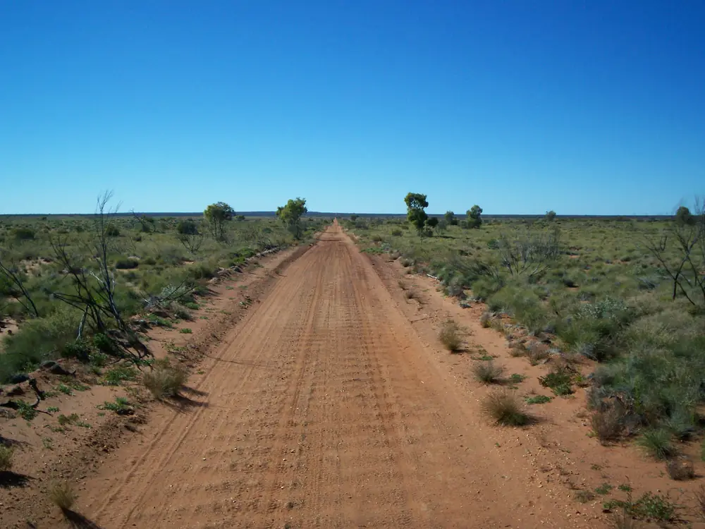
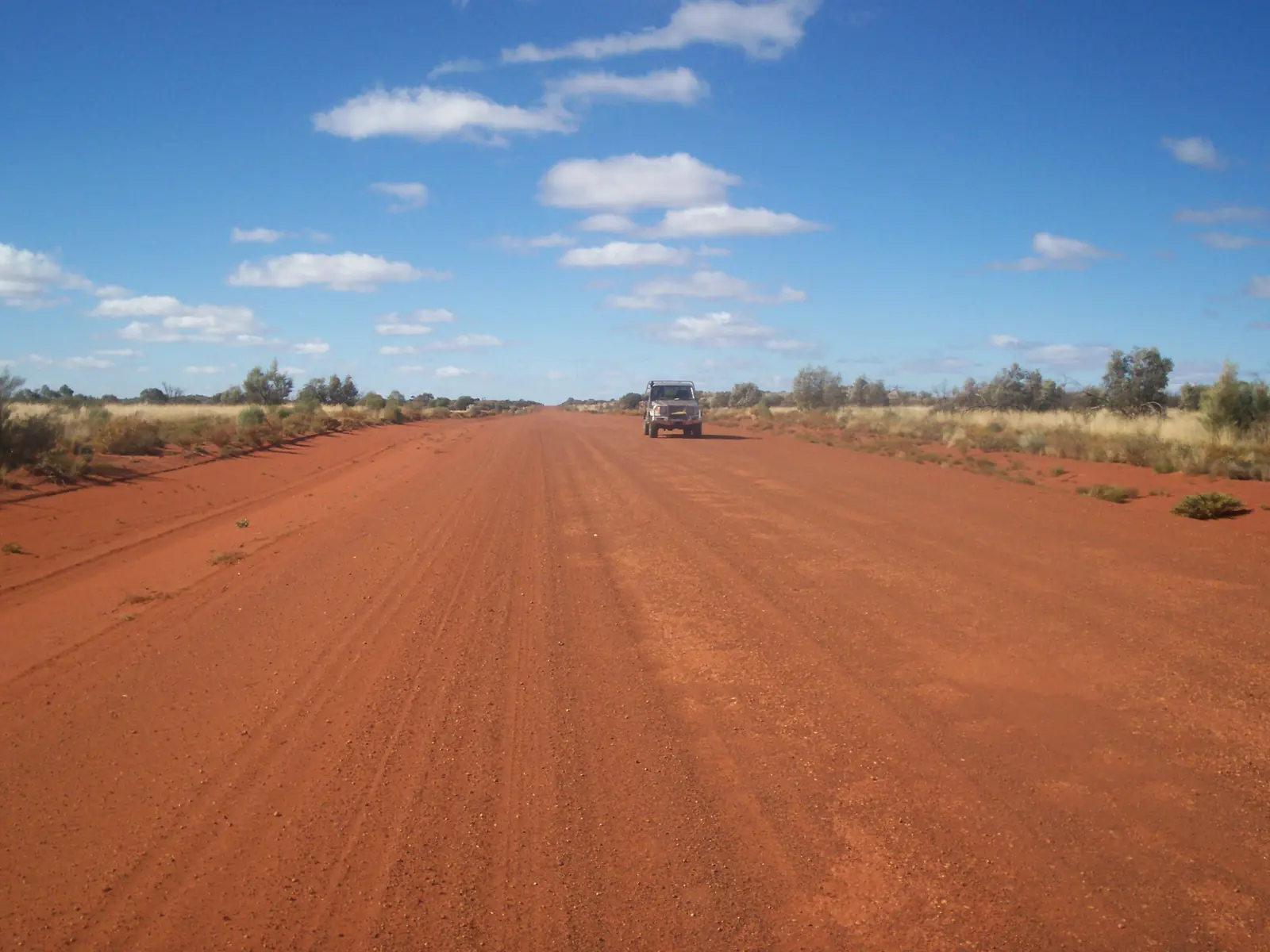
Unsealed Gunbarrel Highway in desert countryPhoto: Gazjo at English Wikipedia · Public domain 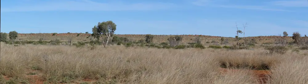
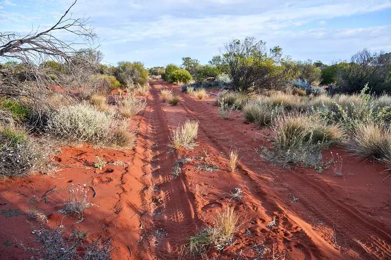
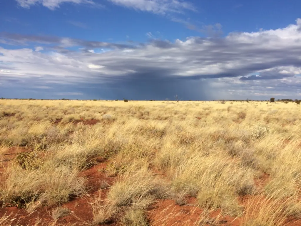
Grasslands and a dune beside the Gunbarrel Highway in the Gibson Desert Nature ReservePhoto: spelio · CC BY-SA 2.0 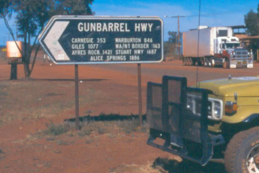
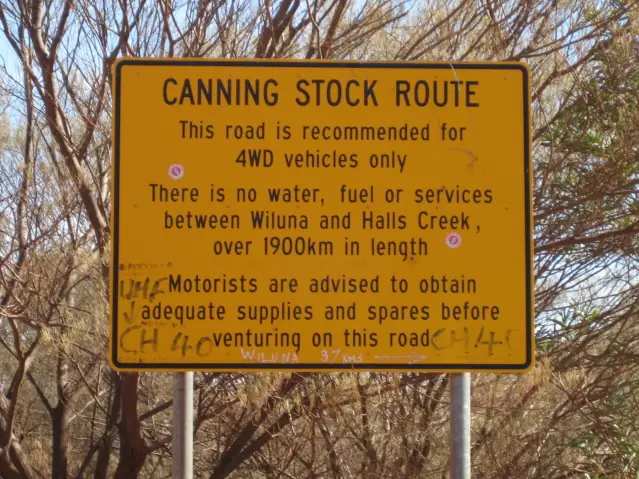
Gunbarrel Highway sign at WilunaPhoto: TalShiar at Dutch Wikipedia · Public domain 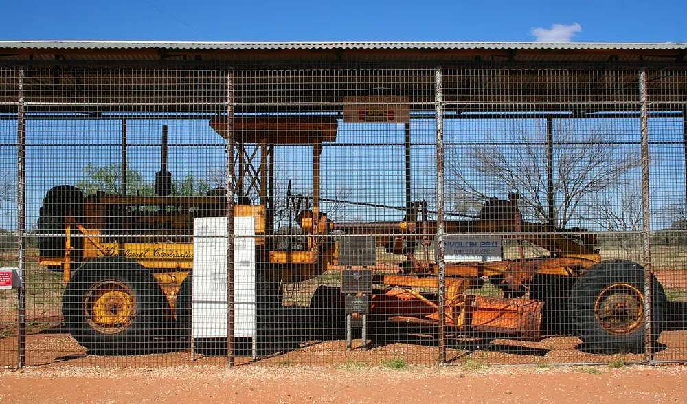
Len Beadell's Gunbarrel grader at Giles Weather StationPhoto: Bäras · CC BY-SA 3.0
The Gunbarrel Highway is the desert road that leaves Wiluna east into Gibson Desert country. Australia’s Golden Outback calls Wiluna the western start. It is not the Great Central Road from Laverton, and a Gunbarrel permit is not a Canning Stock Route permit.
Permits
Ngaanyatjarra Council’s permit page lists Gunbarrel Highway among roads with automatic 3-day transit approval. A standard permit is three days and two nights. Travellers may enter roadhouses. They are not permitted to enter communities except people providing essential services.
The same page lists the abandoned section of Gunbarrel as not open to the public. Stay on the open, permitted alignment.
The Shire of Wiluna: obtain access and permits, particularly for travel through Aboriginal lands, and points to Ngaanyatjarra Council, the Central Land Council and the Shire of Ngaanyatjarraku. Apply before you leave. See visiting Country respectfully.
Route and fuel
- Wiluna — western assembly point. Fill here. The shire names fuel in town; this guide does not list bowser brands or prices.
- Carnegie Station — 342 km east on the shire accommodation page (Golden Outback 353 km), donga-type stay and fuel. Phone (08) 9981 2991. Confirm it is open and that your permit matches the stop.
- Abandoned section — closed. Do not treat old maps as an invitation.
Check Main Roads WA for the Goldfields Highway into Wiluna, and the shire for Gunbarrel conditions inside the shire boundary.
History
The Shire of Wiluna: Len Beadell explored and surveyed the Gunbarrel, with completion of the last section in 1958, described there as the first east–west road across the centre of Australia. Beadell’s Gunbarrel grader is a named artefact on that story; the Canning-Gunbarrel Discovery Centre at 28 Scotia Street, Wiluna, is the shire-named place to see the homelands and explorer rooms before you leave.
Safety and access
This is an isolated unsealed road. Carry water, recovery gear, two spare tyres and a satellite communicator. Tell someone your plans. Summer heat on the closed Wiluna BOM table (January mean maximum 37.9 °C) is not a day-trip climate. Cooler months are the travel season on this site’s Wiluna and Canning guides.
Do not mix this corridor with the Anne Beadell Highway. Ngaanyatjarra Council does not issue or approve Anne Beadell permits.
Nearby hubs
- Wiluna
- Canning Stock Route
- Great Central Road
- Laverton — Outback Way, a different start
- Fuel, permits and road conditions
Plan this trip
Tell us the dates, who you are travelling with and where you need help. We reply with planning notes for Gunbarrel Highway — we are not a booking agent.
Frequently asked questions
Is the Gunbarrel Highway the same as the Great Central Road?
No. The Great Central Road / Outback Way starts at Laverton. The Gunbarrel leaves Wiluna. Ngaanyatjarra Council lists both on its automatic-approval roads, but they are different corridors. The abandoned Gunbarrel section is not open.
Do I need a permit for the Gunbarrel Highway?
Yes for the Ngaanyatjarra Lands sections. Ngaanyatjarra Council issues a standard 3-day transit permit (three days and two nights) with automatic approval for the Gunbarrel Highway. Travellers may enter roadhouses and are not permitted to enter communities except essential-service providers. The Shire of Wiluna also says obtain access and permits, particularly for Aboriginal lands.
Can I drive the abandoned section of the Gunbarrel?
No. Ngaanyatjarra Council’s permit page lists the abandoned section of Gunbarrel as not open to the public.
Where is fuel on the Gunbarrel Highway?
Fill at Wiluna. The Shire of Wiluna lists Carnegie Station 342 km east (Golden Outback 353 km) with fuel and donga-type stays — phone (08) 9981 2991 and confirm it is open. This guide does not invent further bowsers.
Who built the Gunbarrel Highway?
The Shire of Wiluna: explored and surveyed by Len Beadell, with completion of the last section in 1958, described there as the first east–west road across the centre of Australia.
Sources and further reading
Facts on this page were checked against these primary and official sources. Conditions change — confirm before you travel or buy.
- Canning Stock Route and Gunbarrel Highway — Shire of Wiluna — Shire of Wiluna
- Permits — Ngaanyatjarra Council — Ngaanyatjarra Council
- Accommodation — Shire of Wiluna — Shire of Wiluna
- Climate statistics for Wiluna (013012) — Bureau of Meteorology
- Main Roads WA travel map — Main Roads Western Australia
- Travel Through Aboriginal Land Permits — Shire of Ngaanyatjarraku