At a glance
Sourced facts only. Distances and services change — confirm before you travel.
- Fuel stops
- Plan the longest gap between reliable outlets, plus a reserve. Consumption rises on corrugations, sand and when towing. See the fuel, permits and road conditions guide.
- New South Wales
- Live Traffic NSW for state and unincorporated roads. Central Darling and other shires post local unsealed-road closures.
- Northern Territory
- Road Report NT website and 1800 246 199.
- Access
- Closed means closed. This hub is a directory of official sources, not a live closure table.
- Best time to visit
- Tropical north wet season is roughly November to April (Tourism NT). Main Roads WA describes the Gibb River Road wet season as generally December to April, typically open May to November. Desert tracks still close after rain in the dry.
Outback road conditions in pictures
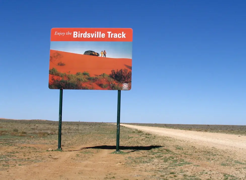
Birdsville Track sign — check SA outback road warnings and QLDTraffic, not this photoPhoto: Summerdrought · CC BY-SA 4.0 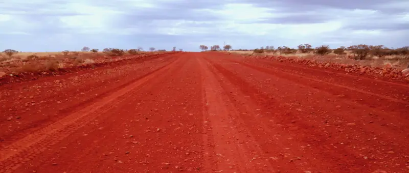
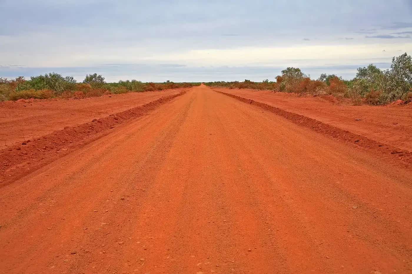
Oodnadatta Track north of Oodnadatta, South AustraliaPhoto: GoldenRing · CC BY-SA 4.0 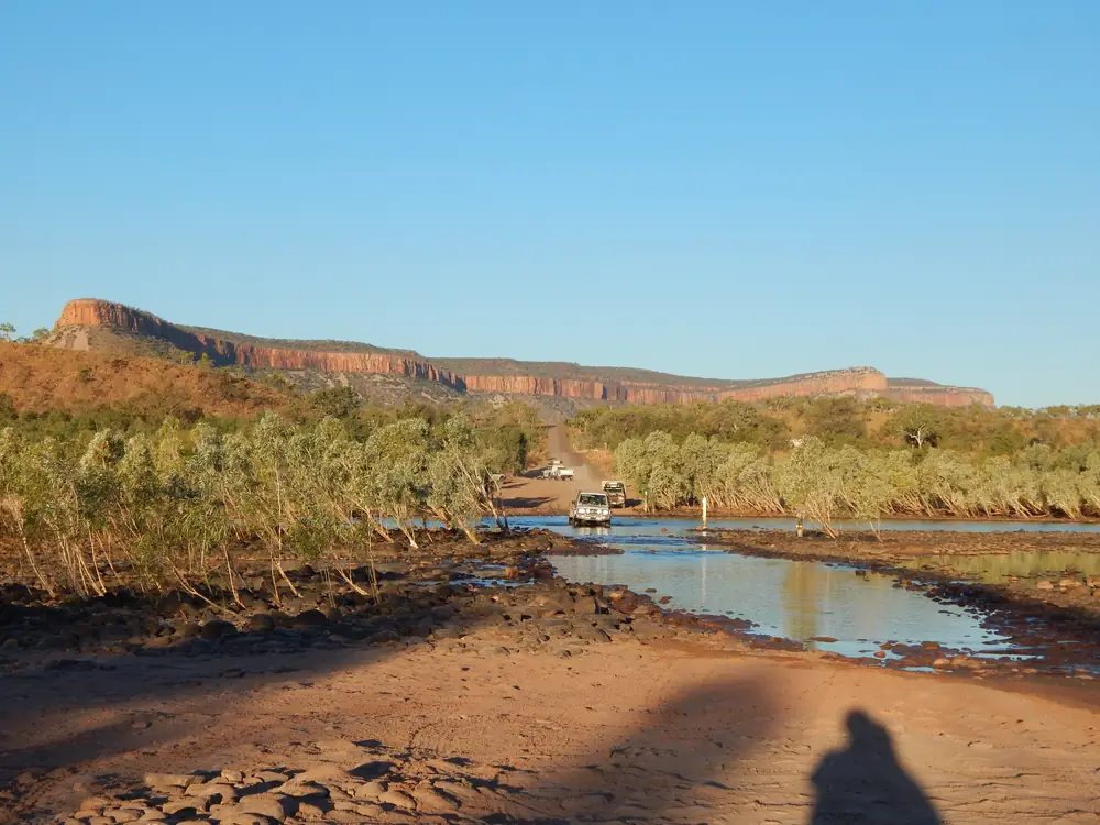
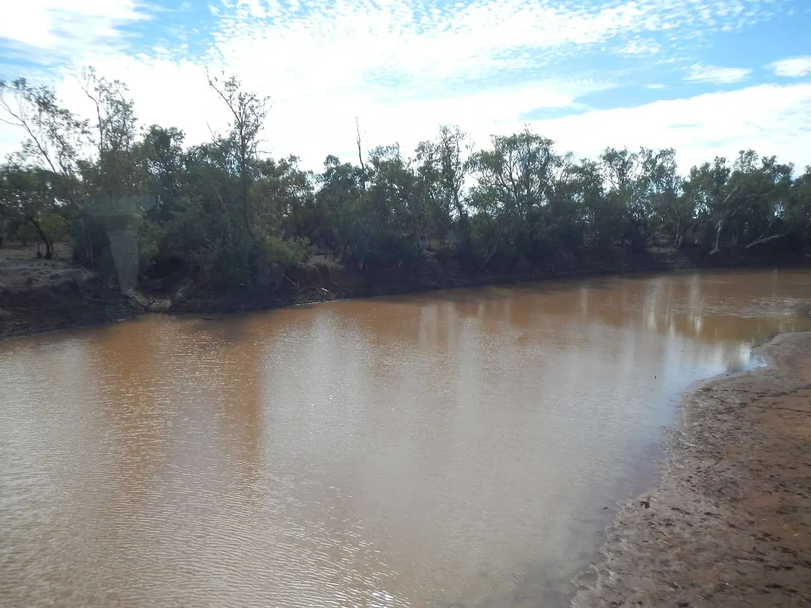
Pentecost River crossing on the Gibb River RoadPhoto: MissMegido · CC BY-SA 4.0 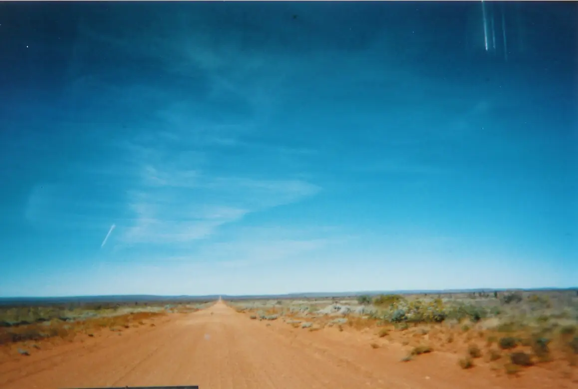
Tanami Track through desert countryPhoto: Robertewelsh at English Wikipedia · Public domain
This page is the directory of official outback road-condition sources. It does not reprint today's closure tables. Those lists go stale between a rain event and a grader, and several states update them more than once a day. Check the live page or phone number for the roads you will actually drive, on the morning you leave and again at the next town.
Use it with the wet season and road closures guide for seasonal patterns, fuel, permits and road conditions for fuel range and park passes, and remote-area travel safety for trip plans and communications.
How to use official reports
- State highways and most named outback tracks sit on the five state and territory sites below.
- Shire and council unsealed roads often have a separate PDF or webpage. The state map may not list every local closure.
- Park roads follow the parks agency, not only the road authority. Side roads off the Gibb River Road are a documented example: Main Roads WA manages the Gibb itself and says other agencies manage the side roads.
- Closed means do not drive it. Tourism NT's road-safety page says not to travel on closed roads and that heavy fines may apply. Visit Broome prints a Western Australian closed-road offence with penalties of up to $10,000, including interfering with road-closed signs.
- Recheck after rain, even in the dry season. Channel Country floodwater can arrive days or weeks after rain falls further north.
Queensland — QLDTraffic
QLDTraffic is the state's live map for incidents, flooding and road conditions. The same service runs 13 19 40 24 hours a day. For local-government roads, QLDTraffic publishes a local government road conditions list so you can jump to the shire that actually maintains the unsealed section.
Channel Country and Cape York travellers almost always need both the state map and the shire PDF:
- Diamantina Shire — road report for the shire around Birdsville and Bedourie. The council describes a network of 1,659 km of roads, the majority unsealed. Phone 07 4746 1600.
- Bulloo Shire — road-condition PDFs as needed for the shire around Thargomindah. Thargomindah Visitor Information Centre 07 4621 8095.
- Barcoo Shire — local road conditions. Flood cameras, where they exist, are not the closure authority; use the shire report and QLDTraffic.
- Boulia Shire — shire road report.
- Cook Shire — wet-season restrictions and local closures for Cape York shire roads. Cook Shire notes that the Mulligan Highway, Peninsula Developmental Road and Endeavour Valley Road are Transport and Main Roads roads, so those belong on QLDTraffic.
Track and town pages this Queensland advice touches: Birdsville Track, Cape York, Simpson Desert crossing, French Line, Cooktown and Weipa.
New South Wales — Live Traffic NSW
Live Traffic NSW is Transport for NSW's live map for incidents and conditions on the state network. In the Far West, unincorporated roads also sit with that service.
Central Darling Shire publishes local unsealed-road conditions and cites Roads Act 1993 section 115 for unauthorised use of a closed public road. After-hours contact printed on that page is 08 8091 5155. The shire directs travellers in the unincorporated area to Live Traffic NSW.
Use this with the outback NSW road trip and western NSW town hubs. Do not treat a shire PDF as covering the next shire over.
South Australia — DIT outback road warnings
The Department for Infrastructure and Transport publishes outback road warnings for the named outback tracks and connecting roads. Phone 1300 361 033. DIT's outback road closures page covers flood safety on those roads; hazard advice is 1800 018 313.
The Outback Communities Authority is local government for a large unincorporated area that includes towns such as Marree and Oodnadatta. It sits on the Outback Roads Consultative Forum. It does not publish a separate live road-report map of its own — DIT is the source to check.
Parks SA, not DIT, sets the 1 December to 15 March summer closure for Munga-Thirri–Simpson Desert National Park, including the French Line. That is a seasonal park rule, not a rain closure.
SA tracks and towns this advice touches: Birdsville Track, Oodnadatta Track, Strzelecki Track, Anne Beadell Highway, Simpson Desert crossing, Innamincka.
Northern Territory — Road Report NT
Road Report NT is the live conditions service. Phone 1800 246 199. Tourism NT's road safety page tells travellers to check that service, describes the wet season as November to April, says not to travel on closed roads, and advises staying with the vehicle if you break down. The same page's drinking-water figure is 4 to 6 litres per person per day.
Central Desert Regional Council manages about 2,030 km of local roads. It does not run a public live map of its own: check the council office and Road Report NT. Phone 08 8958 9500.
NT tracks and towns this advice touches: Tanami Road, Plenty Highway, Mereenie Loop, Madigan Line, Larapinta Trail, Alice Springs.
Western Australia — Main Roads WA
The Main Roads WA travel map is the live state map. Phone 138 138.
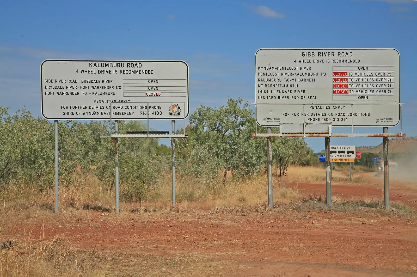
The agency's Gibb River Road page describes the route as 647 km, with about 470 km unsealed between the Lennard and Pentecost rivers. It places the wet season as generally December to April, says the road is typically open May to November, and notes status boards near Derby and Kununurra. Side roads are other agencies.
Kimberley and desert shire pages that exist as real road-condition sources:
- Shire of Wyndham East Kimberley — shire road report (also listed under services/roads).
- Shire of Derby/West Kimberley — local road conditions. Phone 08 9191 0999.
- Halls Creek Tourism — road conditions for the shire around Halls Creek. The page cites 360 km sealed and 1,433 km unsealed. Visitor centre 08 9168 6262; shire 08 9168 6007.
- Shire of Ngaanyatjarraku — road reports for the Ngaanyatjarra Lands, including Warburton.
- Shire of Laverton — road-condition reports at the western end of the Great Central Road and Anne Beadell Highway.
WA tracks and towns this advice touches: Gibb River Road, Canning Stock Route, Gunbarrel Highway, Great Central Road, Tanami Road, Wiluna, Laverton.
Wet-season closure patterns
These are patterns, not a promise that a given road is open or closed today.
- Top End, Gulf and Kimberley: Tourism NT uses November to April for the NT wet. Main Roads WA uses December to April for the Gibb, typically open May to November. Unsealed roads can stay closed for weeks after the last rain.
- Cape York: Cook Shire posts wet-season restrictions on shire roads; TMR roads still belong on QLDTraffic. See Cape York.
- Inland desert tracks: a single storm can close the Birdsville, Oodnadatta and Strzelecki tracks in any month. Cooper Creek floodwater can cut crossings long after the rain has stopped.
- Simpson Desert parks: Parks SA's summer closure for Munga-Thirri–Simpson Desert National Park is 1 December to 15 March. That is independent of a rain closure outside those dates.
- Sealed highways can still be cut at floodways. Stick to sealed routes and towns if you travel in the north in the wet, and expect plans to change.
The longer seasonal write-up stays on wet season and road closures.
Permits that sit beside road reports
A green road report does not replace a permit. Routes that commonly need one, with the issuing body:
- Central Land Council — permits for Aboriginal land in central Australia, including the Mereenie Loop tour pass and Madigan Line entry permit. CLC: (08) 8951 6211.
- Northern Land Council — permits for Aboriginal land in the Top End and Gulf.
- Ngaanyatjarra Council — transit permits for listed WA desert roads, including the Great Central Road (automatic-approval 3-day transit on that council's list) and the permitted sections of the Gunbarrel Highway.
- Parks SA Desert Parks Pass — mandatory for Munga-Thirri–Simpson Desert National Park and for travel east of Dalhousie Springs in Witjira. Buy via parks.sa.gov.au.
- Queensland Parks — camping permit on the QAA Line if you camp in Queensland's Munga-Thirri National Park.
- Anne Beadell Highway — stacked Parks SA, Woomera and Maralinga requirements; see that track guide, do not invent extra fees here.
Main highways through Aboriginal land usually do not need a permit. Leaving them often does. Details stay on fuel, permits and road conditions and visiting Country respectfully.
Fuel and remote-travel safety
- Plan fuel as legs between reliable outlets. Remote roadhouses change hours, run out, or close. Ring ahead if one outlet is the whole plan.
- Consumption rises on corrugations, sand, headwinds, roof racks, air-conditioning, low range and when towing. Many travellers allow a 20 to 30 percent reserve on top of the longest gap.
- Tourism NT: 4 to 6 litres of drinking water per person per day, and stay with the vehicle if you break down.
- Carry a way to call for help that does not depend on mobile coverage. See remote-area travel safety.
- Do not drive floodwater because it looks shallow. Tourism NT: wait until water is below your vehicle's wading depth, never try fast-flowing water, and expect the unseen surface to be damaged. In the north, stay out of floodwater because of saltwater crocodiles.
- Check the Bureau of Meteorology warnings as well as the road report. Rain a long way upstream still closes Channel Country roads.
Tracks this hub covers
Every track guide on this site has its own official-source links. Use this hub first, then the track page for fuel stops, permits and history:
- Birdsville Track — Marree to Birdsville; DIT plus QLDTraffic and Diamantina.
- Oodnadatta Track — Marree to Marla; DIT.
- Strzelecki Track — Lyndhurst to Innamincka; DIT.
- Gibb River Road — Derby toward Kununurra; Main Roads WA plus Kimberley shires for side roads.
- Plenty Highway — Alice Springs side to western Queensland; Road Report NT and QLDTraffic.
- Tanami Road — Alice Springs to Halls Creek; Road Report NT and Main Roads WA / Halls Creek.
- Mereenie Loop — CLC tour pass; Road Report NT.
- Cape York — QLDTraffic, Cook Shire, and TMR roads named on the Cook page.
- Larapinta Trail — walking track; still check NT park and road access to trailheads.
- Canning Stock Route — Wiluna toward Halls Creek; shire and Main Roads sources on the track page.
- Gunbarrel Highway — Ngaanyatjarra permit; abandoned section closed.
- Anne Beadell Highway — Parks SA plus Woomera and Maralinga; Laverton shire at the WA end.
- Great Central Road — Ngaanyatjarra transit; Laverton and Ngaanyatjarraku reports.
- French Line — Parks SA summer closure and Desert Parks Pass.
- Madigan Line — CLC entry permit; not the French Line.
- Simpson Desert crossing — Desert Parks Pass, QPWS QAA Line, CLC if you join from the north.
- Savannah Way — tropical sealed and unsealed mix; QLDTraffic, Road Report NT and Main Roads WA by section.
The index of all of those pages is outback tracks.
Town hubs this hub touches
Road-condition checks are part of arriving, not an optional extra, at:
- Birdsville, Thargomindah, Cooktown, Weipa
- Marree, Oodnadatta, Innamincka
- Alice Springs
- Derby, Kununurra, Halls Creek, Wiluna, Laverton, Warburton
Related guides
Featured guides
Travel guide
Wet season, floods and outback road closures
How the tropical wet season (around November to April) and inland rain close outback roads, which roads are affected, seasonal park closures, crossing floodwater safely, and the official road reports for the NT, Queensland, WA, SA and NSW.
Read · 5 min
Plan your trip
Fuel, permits and road conditions
Practical guide to planning fuel stops, park and Aboriginal land permits, and checking outback road conditions, with official links for every state.
Read · 4 min
Outback tracks
Outback tracks
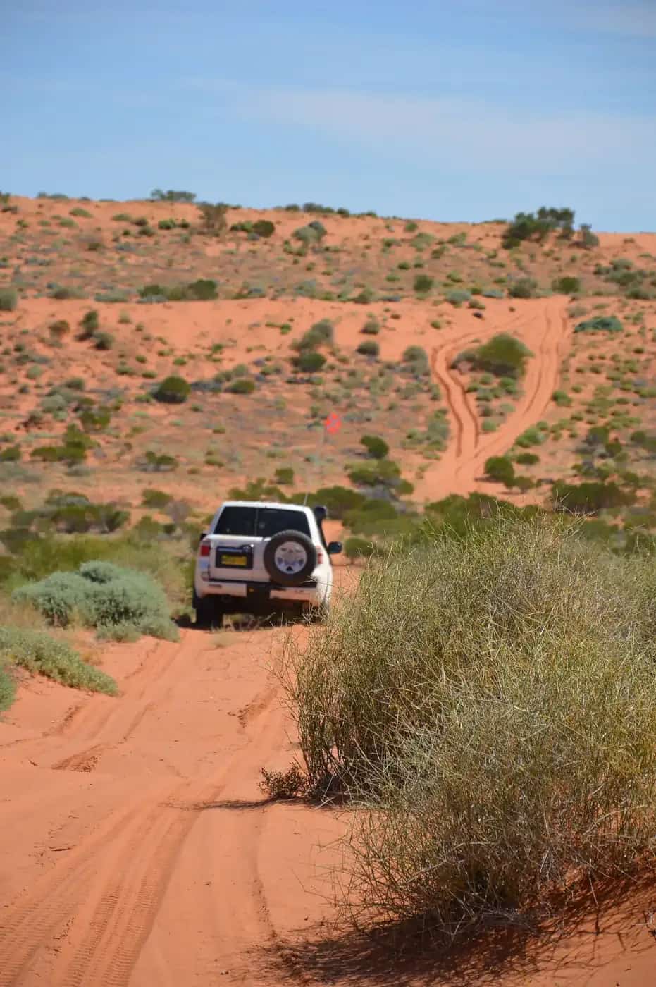
Guides to Australia's great outback tracks: the Birdsville, Oodnadatta and Strzelecki tracks, the Gibb River Road, Canning Stock Route, Gunbarrel and Anne Beadell highways, Great Central Road, French Line, Madigan Line and Simpson Desert crossing.
Read the hub
Travel guide
Remote-area travel safety: communications, trip plans and emergencies
How to stay safe on remote outback tracks: registering a PLB with AMSA, satellite phones and messengers, UHF radio etiquette, trip plans and breakdowns.
Read · 5 min
Travel guide
4WD driving and unsealed outback roads
A beginner's guide to driving outback unsealed roads and 4WD tracks: tyre pressures, corrugations, sand, mud, bulldust, creek crossings and recovery.
Read · 6 min
Travel guide
Outback safety and survival guide
How to travel safely in outback Australia: water and fuel planning, heat, wildlife, road trains, closed roads, breakdowns and PLBs.
Read · 5 min
Frequently asked questions
Where do I check outback road conditions in Australia?
Use the official source for the state you are in, on the day you travel: QLDTraffic (qldtraffic.qld.gov.au or 13 19 40), Live Traffic NSW, SA Department for Infrastructure and Transport outback road warnings (1300 361 033), Road Report NT (roadreport.nt.gov.au or 1800 246 199), and the Main Roads WA travel map (138 138). Shire unsealed roads often have a separate council report. This page is a directory of those sources, not a substitute for them.
Is it illegal to drive on a closed outback road?
Yes. Tourism NT warns that heavy fines may apply for travelling on closed roads. Visit Broome prints Western Australian penalties of up to $10,000 for accessing a closed road or interfering with road-closed signs. Central Darling Shire cites Roads Act 1993 section 115 for unauthorised use of a closed public road. Driving on a wet unsealed road also damages it and can leave you stranded far from help.
When is the outback wet season and which roads close?
In the tropical north, Tourism NT describes the wet season as November to April. Main Roads WA says the Gibb River Road is often closed in the wet season, which generally runs from December to April, and is typically open from May to November. Inland tracks such as the Birdsville, Oodnadatta and Strzelecki can close after a single storm at any time of year. Parks SA closes Munga-Thirri–Simpson Desert National Park from 1 December to 15 March. Check the live report; do not treat a seasonal pattern as today's status.
Do shire unsealed roads have their own road reports?
Often, yes. Diamantina, Bulloo, Barcoo, Boulia and Cook in Queensland, Central Darling in NSW, Central Desert in the NT, and Kimberley and desert shires in WA publish local unsealed-road pages or PDFs. The Outback Communities Authority in South Australia does not run its own live road report — DIT outback road warnings are the source. QLDTraffic also lists local-government road-condition contacts.
What permits do I need for outback tracks?
It depends on the route. Central Land Council and Northern Land Council issue Aboriginal-land permits in the NT. Ngaanyatjarra Council issues a transit permit for listed WA desert roads including the Great Central Road. Parks SA requires a Desert Parks Pass for Munga-Thirri–Simpson Desert National Park and several other desert parks. Queensland Parks requires a camping permit on the QAA Line. Public highways through Aboriginal land usually do not need a permit, but leaving them often does.
How much fuel and water should I carry in the outback?
Plan fuel for the longest gap between reliable outlets, plus a reserve — many travellers allow 20 to 30 percent extra for sand, corrugations, headwinds and towing. Tourism NT's road-safety advice is to carry 4 to 6 litres of drinking water per person per day. Stay with your vehicle if you break down. See our fuel, permits and road conditions guide and remote-area travel safety guide.
What does open, 4WD only or closed mean on an outback road report?
Wording varies by state. Open still allows rough corrugations, dust and hazards. Caution or open with care usually means water over the road, washouts or similar. 4WD only or high clearance only means conventional vehicles should not attempt it. Closed means no vehicles. Check the legend on the official site you are using.
How do I check the Birdsville Track or the Gibb River Road today?
For the Birdsville Track, use SA outback road warnings for the South Australian section and QLDTraffic plus Diamantina Shire's road report for the Queensland end. For the Gibb River Road, use the Main Roads WA travel map and the agency's Gibb River Road page; status boards are near Derby and Kununurra, and side roads are managed by other agencies. Recheck on the morning you travel.
Sources and further reading
Facts on this page were checked against these primary and official sources. Conditions change — confirm before you travel or buy.
- QLDTraffic — Queensland Government
- Local government road conditions — Queensland Government
- Live Traffic NSW — Transport for NSW
- Outback road warnings — Government of South Australia
- Outback road closures and flood safety — Government of South Australia
- Road Report NT — Northern Territory Government
- Road safety — Tourism NT
- Main Roads WA travel map — Main Roads Western Australia
- Gibb River Road — Main Roads Western Australia
- Diamantina Shire road report — Diamantina Shire Council
- Bulloo Shire road conditions — Bulloo Shire Council
- Outback Communities Authority — Outback Communities Authority
- Central Desert Regional Council local roads — Central Desert Regional Council
- Barcoo Shire road conditions — Barcoo Shire Council
- Boulia Shire road report — Boulia Shire Council
- Central Darling Shire road conditions — Central Darling Shire Council
- Cook Shire road conditions and closures — Cook Shire Council
- Shire of Wyndham East Kimberley road report — Shire of Wyndham East Kimberley
- Shire of Derby/West Kimberley road conditions — Shire of Derby/West Kimberley
- Halls Creek road conditions — Halls Creek Tourism
- Shire of Ngaanyatjarraku road reports — Shire of Ngaanyatjarraku
- Shire of Laverton road condition reports — Shire of Laverton
- Visit Broome roads — Visit Broome
- Central Land Council permits — Central Land Council
- Northern Land Council permits — Northern Land Council
- Ngaanyatjarra Council permits — Ngaanyatjarra Council
- Desert Parks Pass — National Parks and Wildlife Service SA