At a glance
Sourced facts only. Distances and services change — confirm before you travel.
- Length
- CLC does not print an end-to-end kilometre figure on the permits page used here. Travel is organised around numbered camps. Do not invent a length.
- Surface
- Northern Simpson sand dunes and swales on Aboriginal land. CLC: traditional owners changed camps 5–15 to one-way west-to-east because of environmental impact on the dunes and traveller safety.
- Vehicle
- Equipped 4WD. CLC treats Simpson Desert access (Madigan Line, Hay River Track, Colson Track) as an entry-permit matter, not a public-road transit.
- Fuel stops
- No fuel on the Madigan Line. Plan from Alice Springs / Old Andado approaches and from Birdsville or the QAA Line if you exit east. Confirm every bowser before you leave sealed roads.
- Nearest towns
- Alice Springs is the CLC permit office (27 Stuart Highway). Birdsville is the usual Queensland exit. Old Andado is a station on the western approach, not a town hub on this site.
- Traditional Owners
- Central Land Council entry permits are issued after consultation with traditional owners and/or communities. Parks SA names Wangkangurru in the desert and Lower Southern Arrernte on the western edge for the SA park — the Madigan Line itself is an NT Aboriginal-land permit, not that SA acknowledgement copied across.
- Best time to visit
- Align with Simpson Desert park closures if your route enters SA or Qld parks: 1 December–15 March. CLC may refuse permits after rain or for ceremony. Cooler months only.
Climate
Monthly means from the Bureau of Meteorology station Alice Springs Airport (015590). This is not a forecast. Nearest open published table for the western CLC office and Alice approach — not a Madigan camp AWS. Do not blend with Birdsville Airport.
| Month | Mean max (°C) | Mean min (°C) | Rainfall (mm) |
|---|---|---|---|
| Jan | 36.6 | 21.6 | 41.8 |
| Feb | 35.3 | 20.8 | 42.4 |
| Mar | 32.8 | 17.7 | 34.4 |
| Apr | 28.4 | 12.6 | 16.5 |
| May | 23.1 | 8.1 | 18.4 |
| Jun | 20.0 | 4.9 | 12.7 |
| Jul | 19.9 | 3.9 | 14.0 |
| Aug | 22.9 | 5.9 | 8.4 |
| Sep | 27.5 | 10.3 | 8.8 |
| Oct | 31.3 | 14.9 | 19.6 |
| Nov | 33.8 | 17.9 | 32.2 |
| Dec | 35.6 | 20.3 | 37.4 |
Madigan Line in pictures
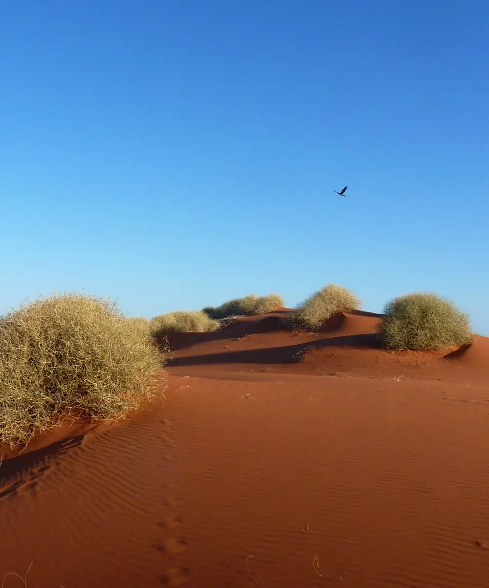
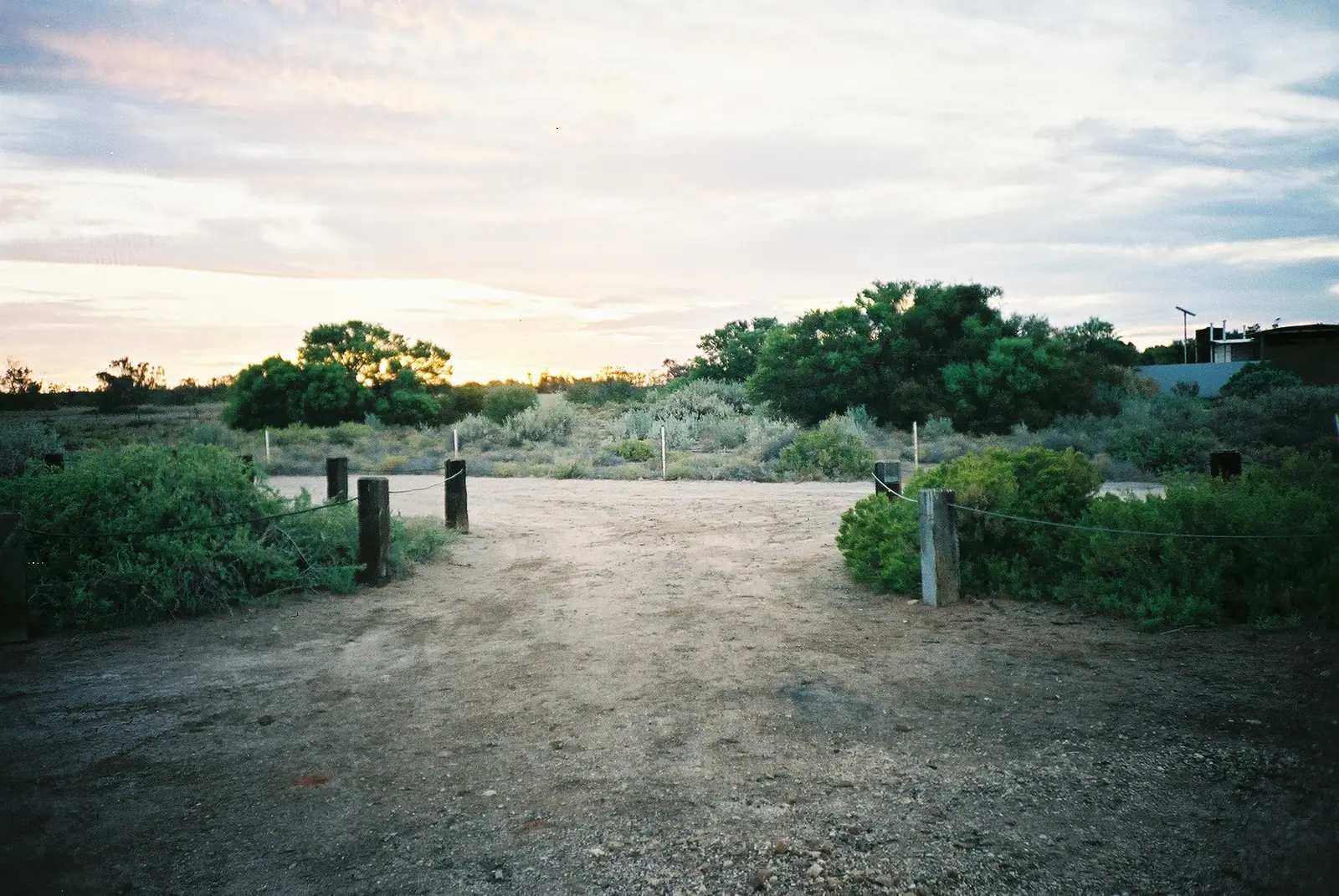
Red dune country at Old Andado, with a bird overhead — western pastoral approach to the Madigan Line, not a numbered campPhoto: Christopher Watson · CC BY-SA 3.0 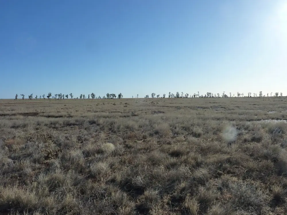
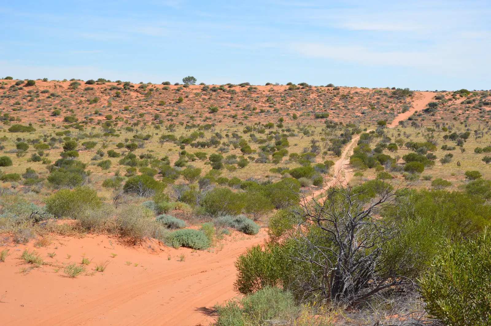
Waddy trees (Acacia peuce) at AndadoPhoto: Christopher Watson · CC BY-SA 3.0 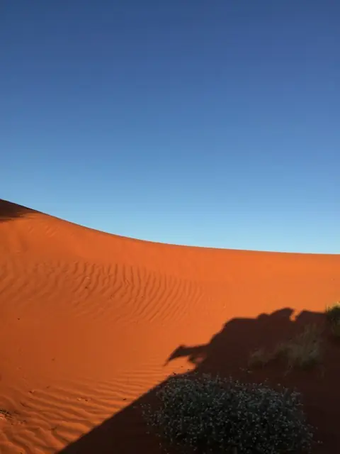
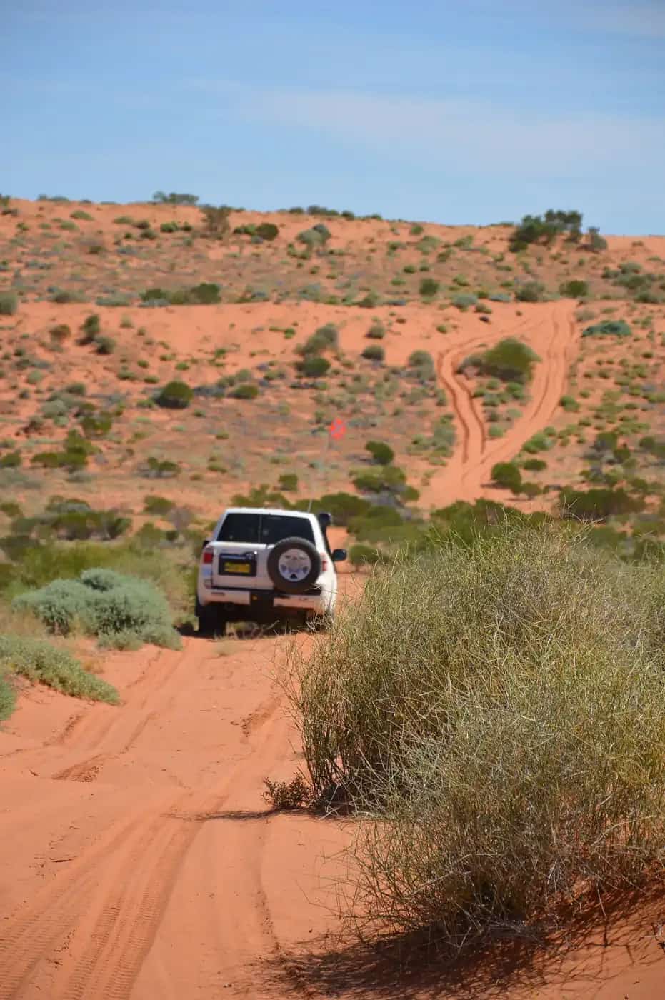
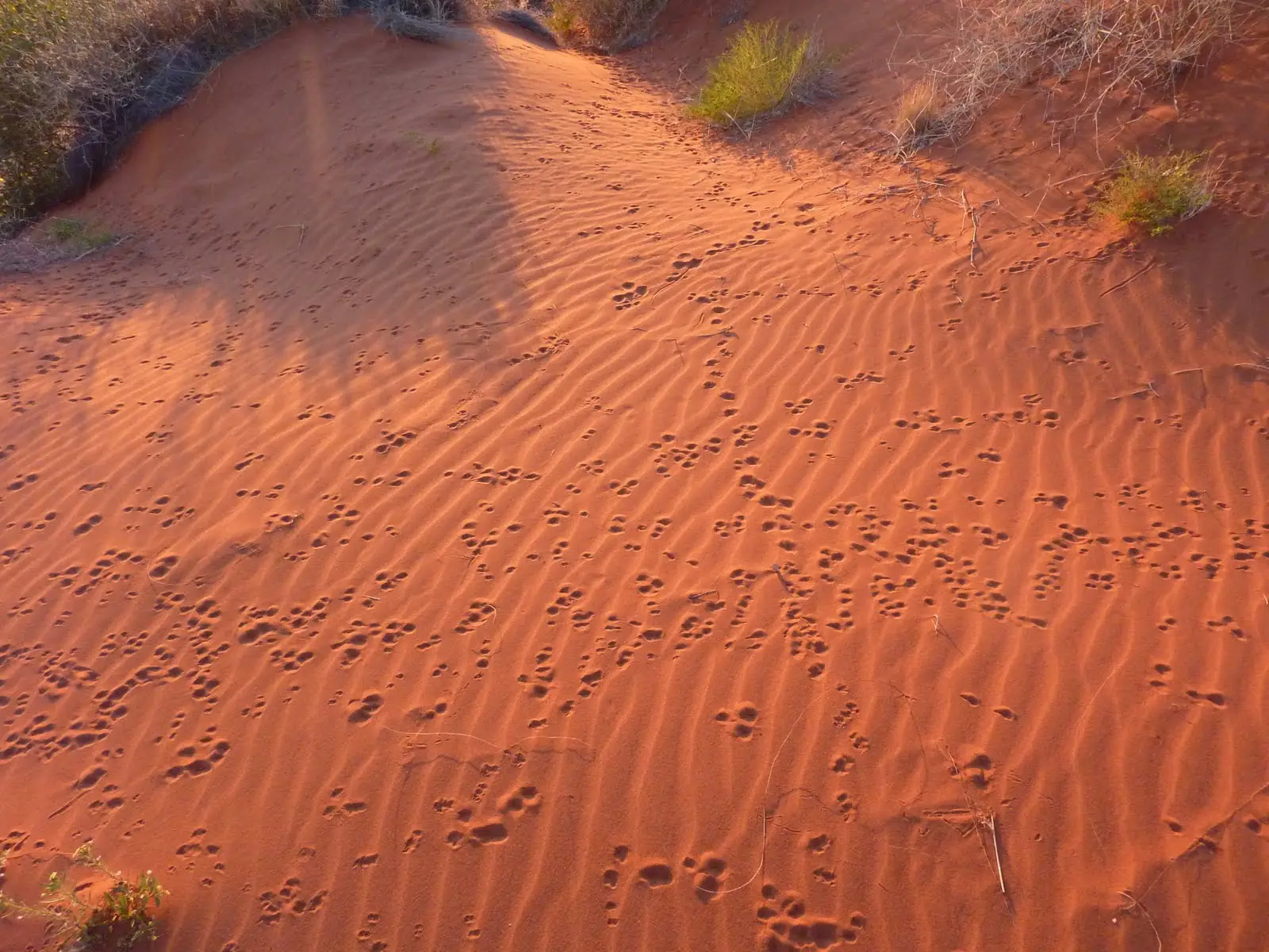
Red dune in the Simpson Desert — the Madigan Line is the northern dune crossing, not this SA reserve photoPhoto: nievedee · CC BY-SA 4.0
The Madigan Line is the northern Simpson Desert crossing on Aboriginal land. Parks SA credits geologist Cecil Thomas Madigan with naming the Simpson Desert; the line that now carries his name is a CLC entry-permit track, not a public shortcut.
It is not the French Line. Do not copy French Line west–east advice onto CLC camps.
CLC rules (read the live page)
From the Central Land Council permits page:
- Camps 1–5 — two-way.
- Camps 5–15 — one-way west to east only. Traditional owners changed this because of dune impact and traveller safety.
- Camp 16 to the Queensland border — two-way.
- Apply for an entry permit online. CLC consults traditional owners and/or communities. Transit permits on the yellow public-road map do not cover this.
- Colson Track — two-way from the French Line to Old Andado, or Colson to camp 5 then east on the Madigan Line. Entry permit.
- Hay River Track to Batton Hill — entry permit plus Atnetye Transit form and fee; email the receipt to batton.hill@outlook.com; permit issued when Batton Hill confirms payment; two-way.
Alcohol on Aboriginal land is prohibited (CLC). Photography of people needs permission. If your route continues into SA parks, you still need a Desert Parks Pass.
Safety
No fuel, no mobile coverage, sand driving, summer park closures in SA and Queensland 1 December–15 March. Check NT Road Report. Carry water, recovery gear and a satellite communicator. Travel in convoy if you can.
CLC: if you are not sure you need a permit, call (08) 8951 6211 or email permits@clc.org.au, or visit 27 Stuart Highway, Alice Springs.
Nearby hubs
Plan this drive
Tell us your dates, vehicle and where you need help. We reply with planning notes for the Madigan Line — we are not a booking agent.
Frequently asked questions
Do I need a permit for the Madigan Line?
Yes. The Central Land Council lists visitors to or from the Simpson Desert (Madigan Line, Hay River Track and Colson Track) under entry permits, not self-issued transit. Apply online; CLC consults traditional owners. Fines for unauthorised entry are set out on the CLC permits page.
Which way can I drive the Madigan Line?
CLC: direction of travel is one way, west to east only, from camp 5 to camp 15. Camps 1–5 are two-way. Camp 16 to the Queensland border is two-way. Traditional owners made the one-way decision because of dune impact and traveller safety.
Is the Madigan Line the same as the French Line?
No. The French Line is the main west–east crossing in the SA national park and needs a Desert Parks Pass. The Madigan Line is the northern Simpson route on NT Aboriginal land with a CLC entry permit.
How do I join the Hay River Track?
CLC: the northern Hay River Track to and from Batton Hill needs an entry permit, the Atnetye Transit Entry form, payment, then email batton.hill@outlook.com with the receipt. The permit is issued when Batton Hill confirms payment. Travel is two-way.
Is there a fee?
CLC issues transit and simple permits free of charge. In areas where permit access entails maintenance or rehabilitation by the landowner (CLC names the Simpson Desert as an example), any appropriate fee is advised at the time of application. Hay River / Atnetye has a separate per-vehicle fee on that form.
Sources and further reading
Facts on this page were checked against these primary and official sources. Conditions change — confirm before you travel or buy.
- Permits — Central Land Council — Central Land Council
- Munga-Thirri–Simpson Desert National Park — National Parks and Wildlife Service SA
- NT Road Report — Northern Territory Government
- Climate statistics for Alice Springs Airport (015590) — Bureau of Meteorology
- Desert Parks Pass — National Parks and Wildlife Service SA