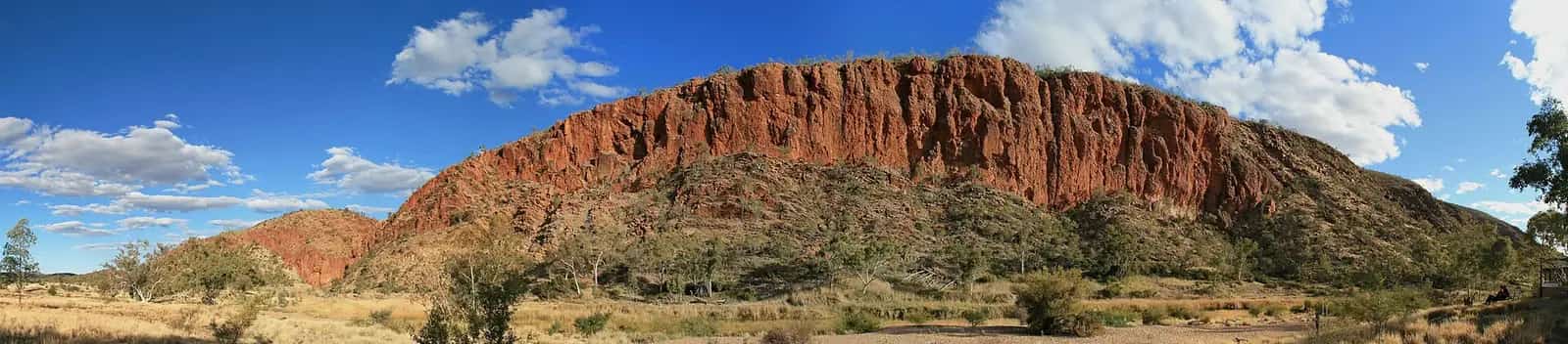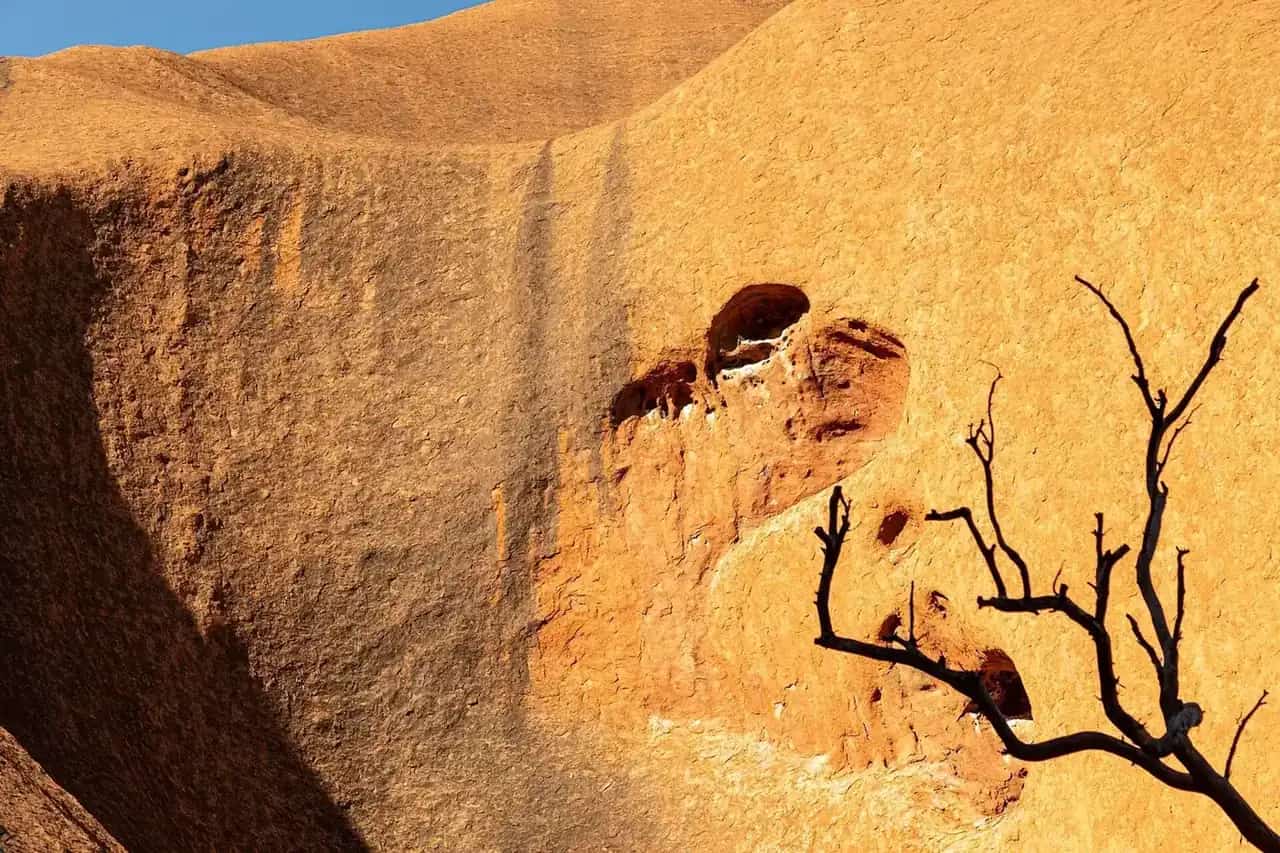
"Red Centre" is the travel name for southern Central Australia: red sand plains and dunes cut by long quartzite ranges. The two towns in this hub are Alice Springs (Mparntwe) on Arrernte Country, and Yulara, the resort village that holds visitor accommodation for Uluṟu-Kata Tjuṯa National Park. Around them sit Tjoritja / the West MacDonnell Ranges, the East MacDonnells, and Watarrka (Kings Canyon). This is Arrernte, Luritja, Pitjantjatjara and Yankunytjatjara Country, among others. Uluṟu-Kata Tjuṯa is owned by its Anangu Traditional Owners and jointly managed with Parks Australia.
The landscape guide at Red Centre covers walks and the Red Centre Way in more depth. This page is the town hub: where you sleep, refuel and start.
Town guides
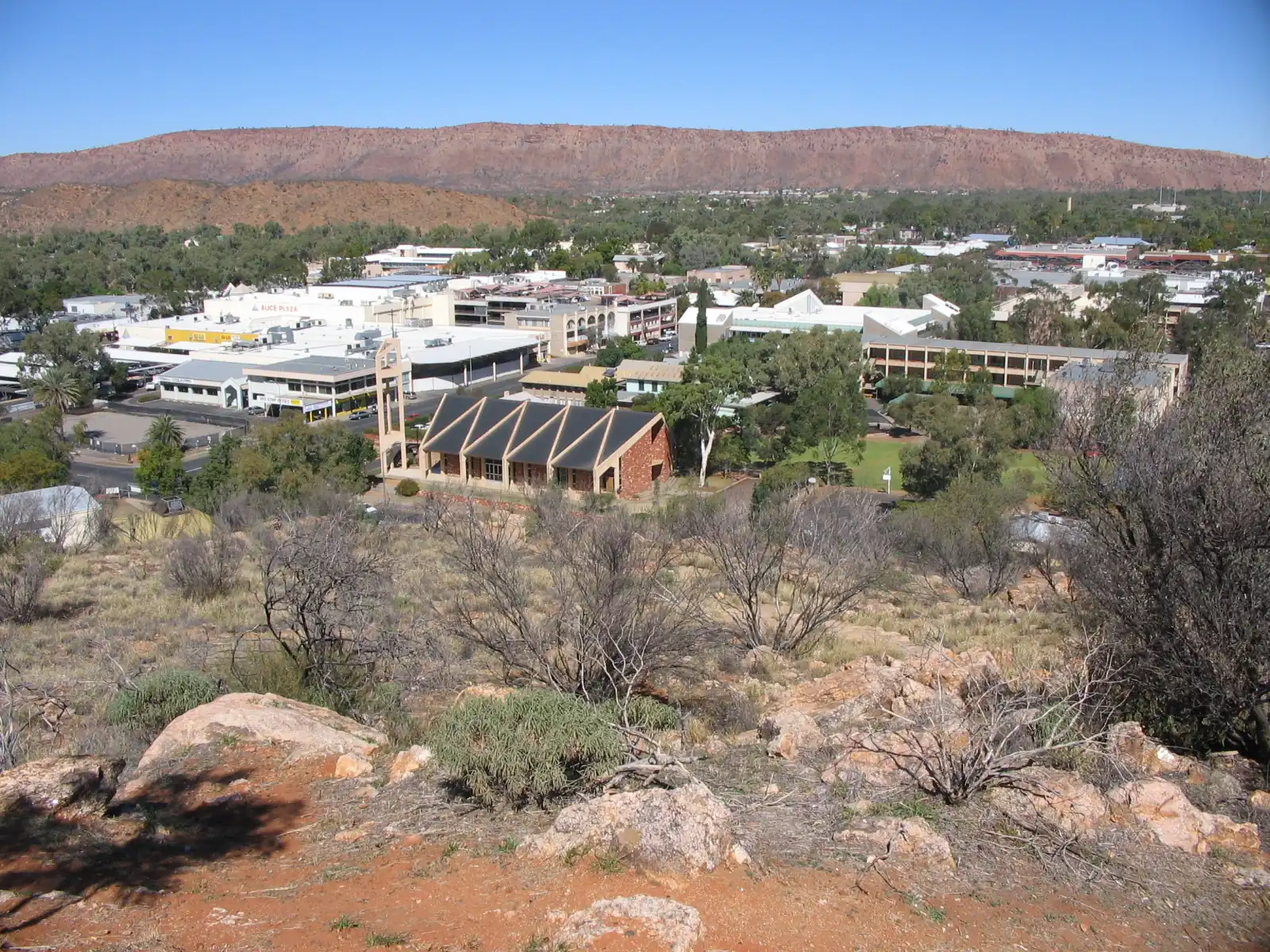
Alice Springs is the service town and transport hub of central Australia, ringed by the MacDonnell Ranges. The Alice Springs Telegraph Station, Royal Flying Doctor Service base, School of the Air, Alice Springs Desert Park and Anzac Hill sunset are the in-town list. Two to three days covers those plus a day in the West MacDonnells; four or five lets you add the East MacDonnells or a Larapinta section. Uluru is a separate overnight trip, not a day run. Flights, hire cars and the Ghan all serve Alice Springs. Tourism Central Australia is the visitor desk.
Hermannsburg (Ntaria) is the Western Arrernte community west of Alice Springs — official Tourism NT and community wording only.
Yulara is about 20 km from Uluru. Ayers Rock Resort runs most hotels, the campground, shops and many tours. Ayers Rock Airport is nearby. There is no other visitor town in the park. Stay here for sunrise and sunset at Uluru and Kata Tjuta, the Cultural Centre (allow at least an hour or two before you walk), and the drive or tour to Kings Canyon. Parks Australia lists park-pass prices on the official pass page — check that page rather than a printed figure, because fees change.
Ti Tree is the Stuart Highway Anmatyerr community between Alice Springs and Tennant Creek — official NT wording only.
Harts Range (Atitjere) is the Plenty Highway community east of Alice Springs, not Harts Range WA.
Erldunda is the Stuart Highway / Lasseter Highway junction for the Yulara turn.
Kulgera is the Stuart Highway town near the South Australian border, a neighbour to Marla.
Barrow Creek is the Stuart Highway locality north of Ti Tree (not a Darwin suburb).
Wycliffe Well is the Stuart Highway stop south of Tennant Creek (not a Darwin suburb).
Parks you visit from these towns
Tjoritja / West MacDonnell Ranges stretch west of Alice Springs along Namatjira and Larapinta drives: Simpsons Gap, Standley Chasm, Ellery Creek Big Hole, Ormiston Gorge and Glen Helen. One full day covers the main stops; two or three lets you camp and walk. The 223 km Larapinta Trail follows the range in 12 sections.
East MacDonnells along the Ross Highway are quieter: Emily Gap and Jessie Gap (important Arrernte sites), Trephina Gorge and N'Dhala Gorge. Some access is 4WD; check NT Parks.
Watarrka National Park (Kings Canyon) is known for the Rim Walk, a steep loop around sandstone domes. NT Parks may restrict hot-weather walking. The Kings Creek Walk along the canyon floor is shorter. Kings Canyon is about three hours' drive from Yulara on sealed roads.
Uluṟu-Kata Tjuṯa National Park is the reason most people fly into Yulara. Climbing Uluru is closed. Follow Anangu requests at sacred sites, stay on marked walks, and buy a park pass before you enter.
Other named Red Centre sites include Rainbow Valley, Palm Valley in Finke Gorge National Park (4WD) and the Henbury meteorite craters. Confirm current access on the NT Road Report and NT Parks pages.
Getting around
The Stuart Highway is sealed from the South Australian border through Alice Springs north towards Tennant Creek and Darwin. Lasseter Highway is sealed to Yulara. You can do Alice Springs, Kings Canyon and Uluru in a 2WD on sealed roads. The Mereenie Loop between the West MacDonnells and Kings Canyon is unsealed, often corrugated, needs a permit and is best in a 4WD.
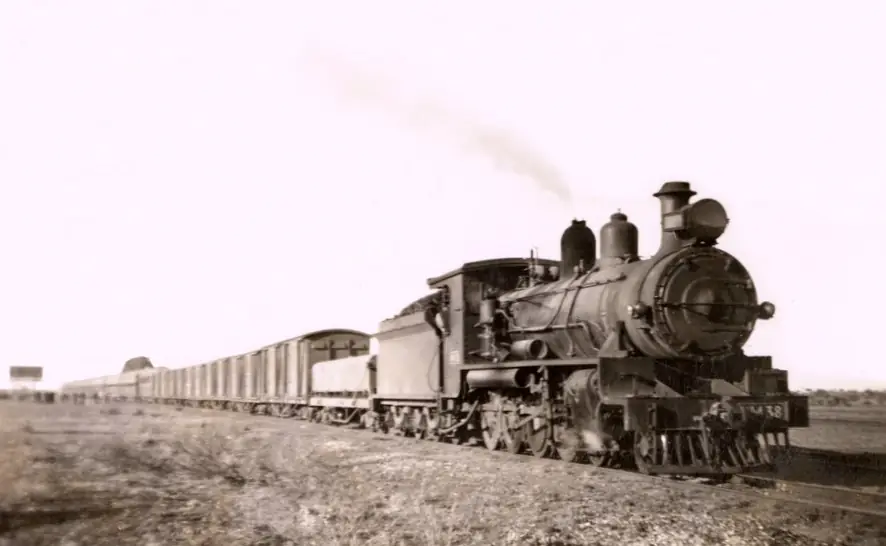
Alice Springs to Darwin is about 1,500 km. The Ghan links Adelaide, Alice Springs and Darwin. Flights connect Alice Springs and Ayers Rock Airport with other Australian cities. Check the NT Road Report before unsealed legs. See Adelaide to Darwin and fuel, permits and road conditions.
When to go
BOM long-term averages for Alice Springs Airport:
| Month | Mean max (°C) | Mean min (°C) | Mean rain (mm) |
|---|---|---|---|
| January | 36.6 | 21.6 | 41.8 |
| April | 28.4 | 12.6 | 16.5 |
| July | 19.9 | 3.9 | 14.0 |
| October | 31.3 | 14.9 | 19.6 |
April to September is the comfortable season. Winter nights can frost. Summer days are often above 35°C; start walks at dawn and carry water. See best time to visit and outback summer heat.
Permits, respect and a simple plan
Interstate and international visitors need an NT Parks Pass for many Territory-managed parks, including the West MacDonnells. Uluru-Kata Tjuta has its own Parks Australia pass. Central Land Council permits apply off public roads. Stay on public roads unless you have a permit, follow signs at sacred sites, and buy art from Aboriginal-owned centres. See Aboriginal-led experiences and visiting Country respectfully.
A common plan is two or three nights in Alice Springs, then two or three at Yulara, with Kings Canyon in between if you have a week. Tourism Central Australia in Alice Springs is the desk for road rumours worth checking against the official report. Continue north into the Top End hub via the Stuart Highway, or see the Northern Territory state guide.
Towns in this region
Northern Territory · Red Centre
Alice Springs
Alice Springs guide: what it's known for, the Desert Park, Telegraph Station, RFDS and School of the Air and the West MacDonnell Ranges.
Read · 7 min
Northern Territory · Red Centre
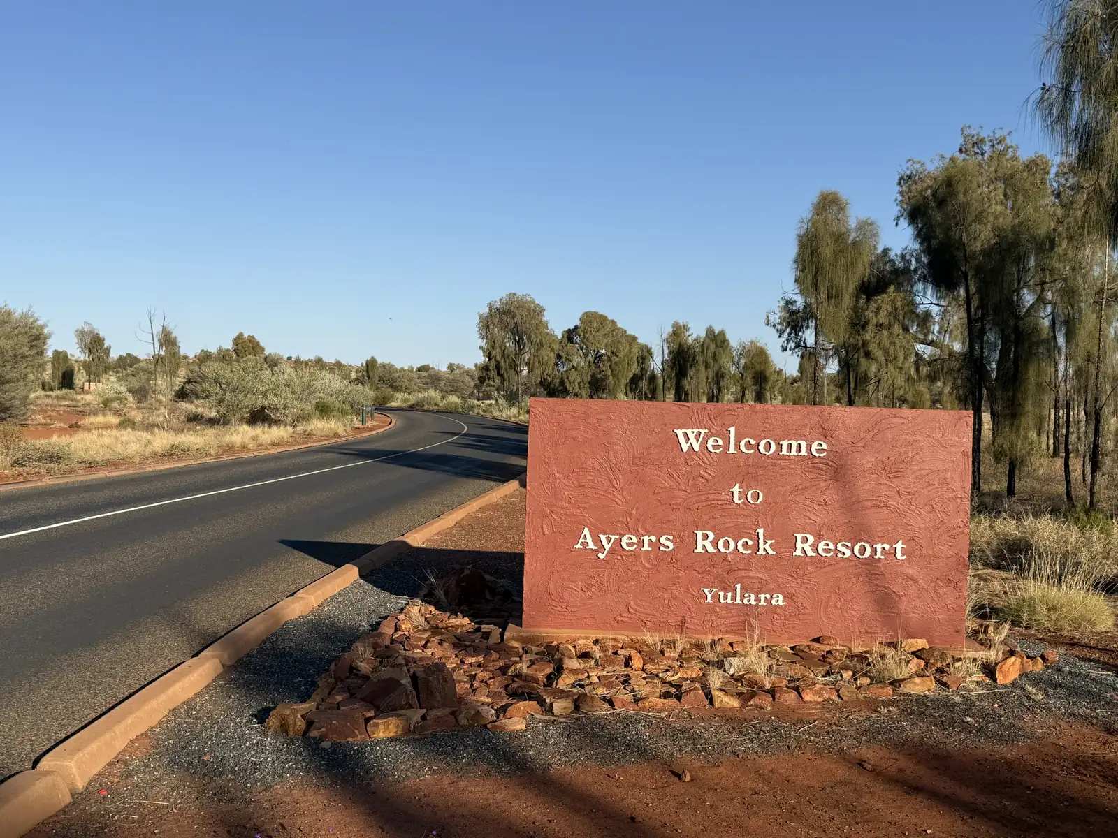
Yulara
Yulara travel guide: the resort town that serves Uluru-Kata Tjuta National Park, accommodation, the airport, activities and travel tips.
Read · 5 min
Northern Territory · Red Centre
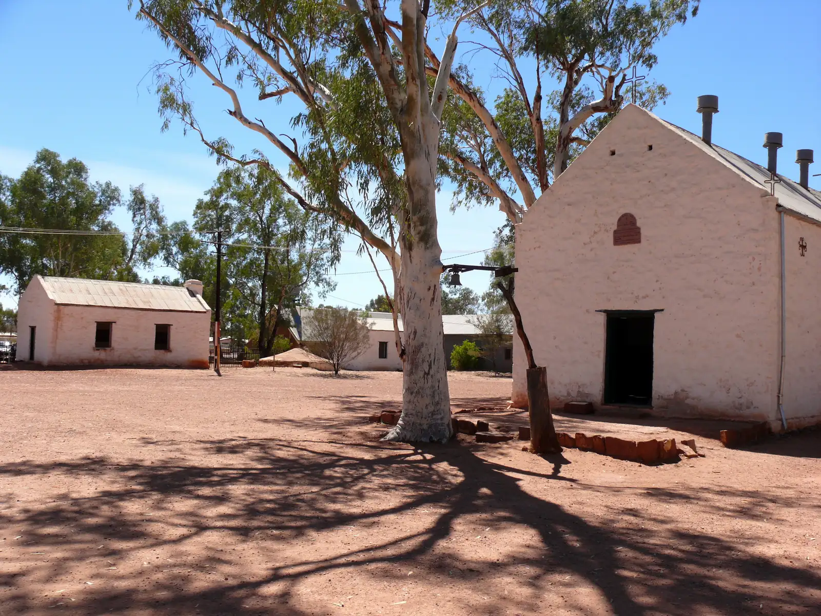
Hermannsburg
Hermannsburg (Ntaria) travel guide: MacDonnell Regional Council community 130 km west of Alice Springs on Larapinta Drive — Western Arrarnta Country, National Trust historic precinct, Namatjira. Official NT wording only.
Read · 8 min
Northern Territory · Red Centre
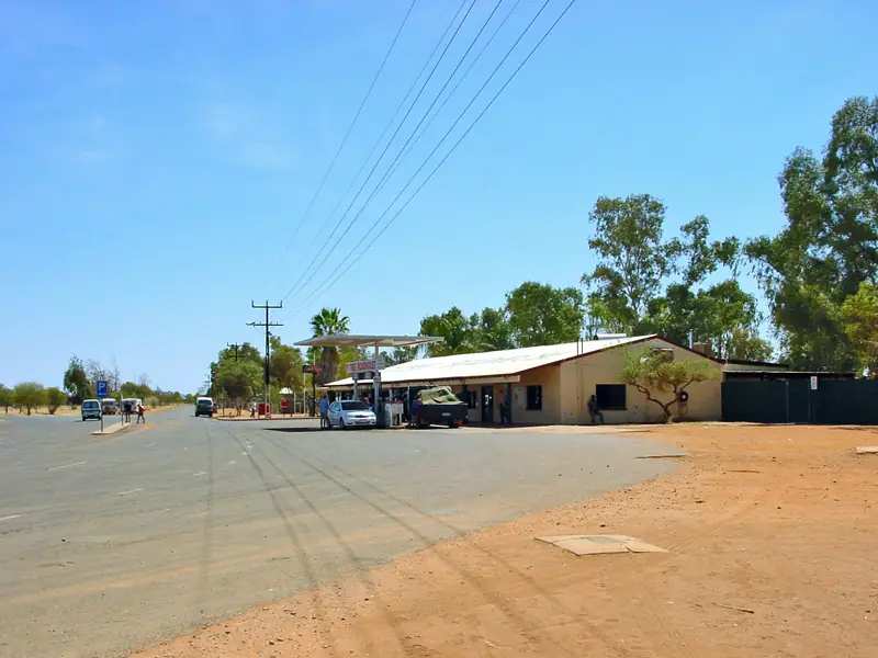
Ti Tree
Ti Tree travel guide: Central Desert Regional Council town about 200 km north of Alice Springs on the Stuart Highway — Anmatjere language group, Aleyaw, grape farms. Official NT wording; not a Darwin page.
Read · 8 min
Northern Territory · Red Centre
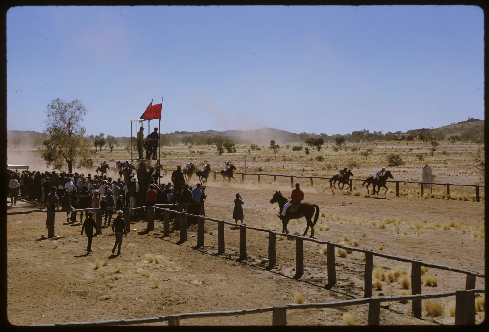
Harts Range
Harts Range travel guide: Atitjere on the Plenty Highway, 215 km from Alice Springs — Central Desert community, Central Harts Range fossicking, Spotted Tiger campground. Northern Territory, not WA.
Read · 7 min
Northern Territory · Red Centre
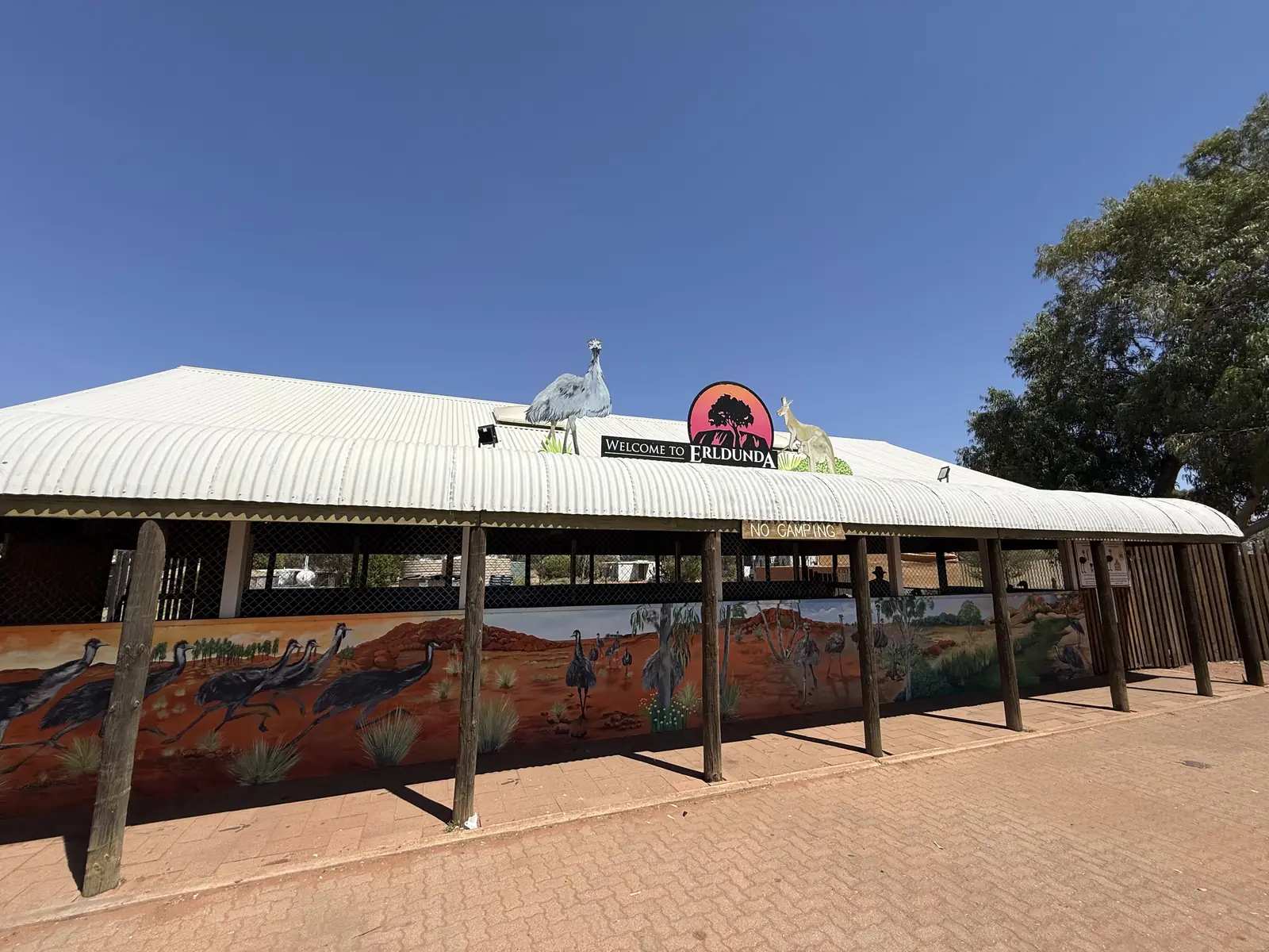
Erldunda
Erldunda travel guide: Stuart Highway / Lasseter Highway junction in the Ghan locality — Yulara and Uluru turn, NT Place Names Desert Oaks Resort roadhouse. Red Centre, not a Darwin page.
Read · 6 min
Northern Territory · Red Centre
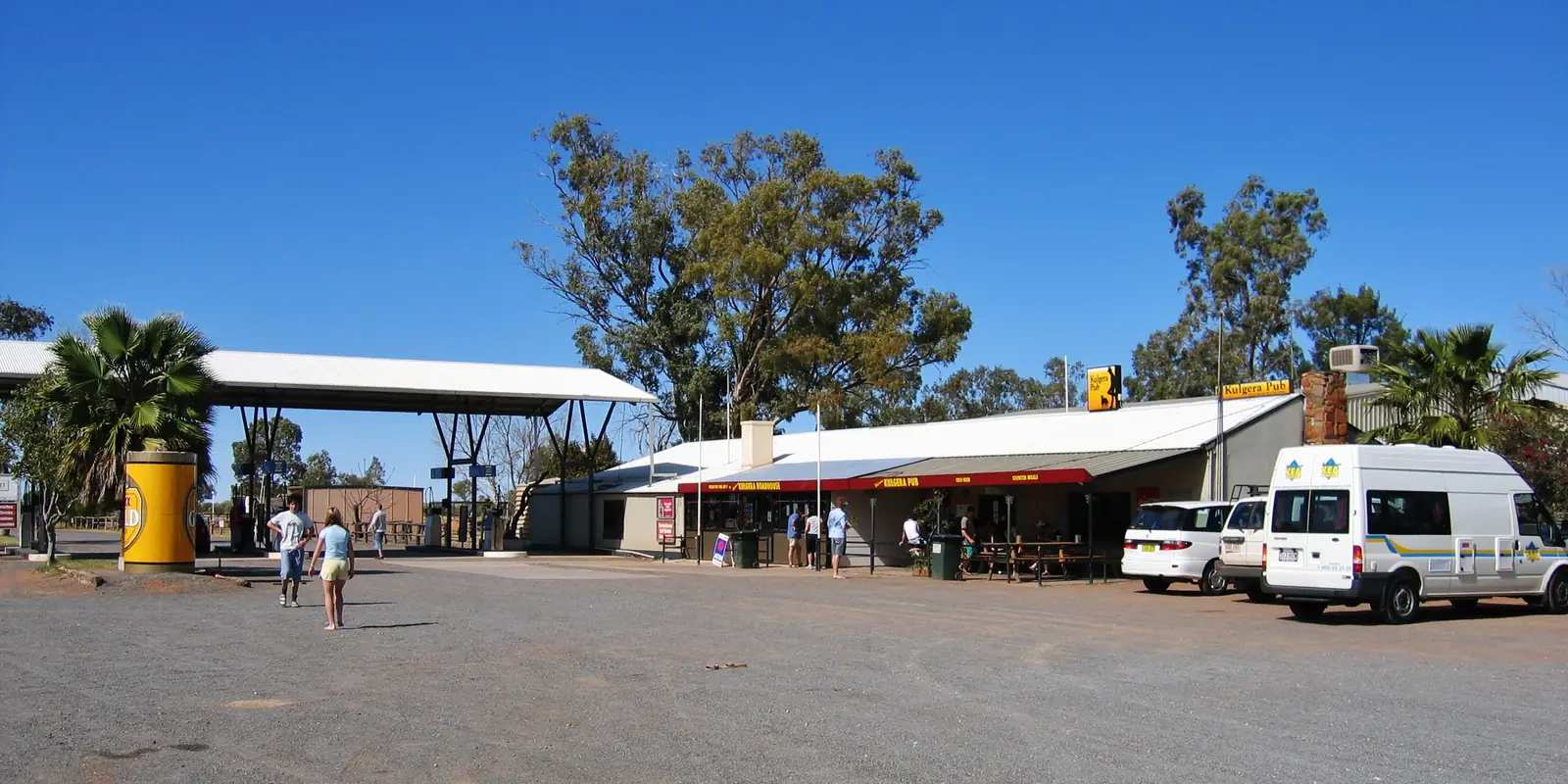
Kulgera
Kulgera travel guide: Stuart Highway village 21 km from the SA/NT border — Pitjantjatjara country, 1947 highway stopover, 1955 store, no clinic. Red Centre, not Marla SA and not Erldunda.
Read · 8 min
Northern Territory · Red Centre
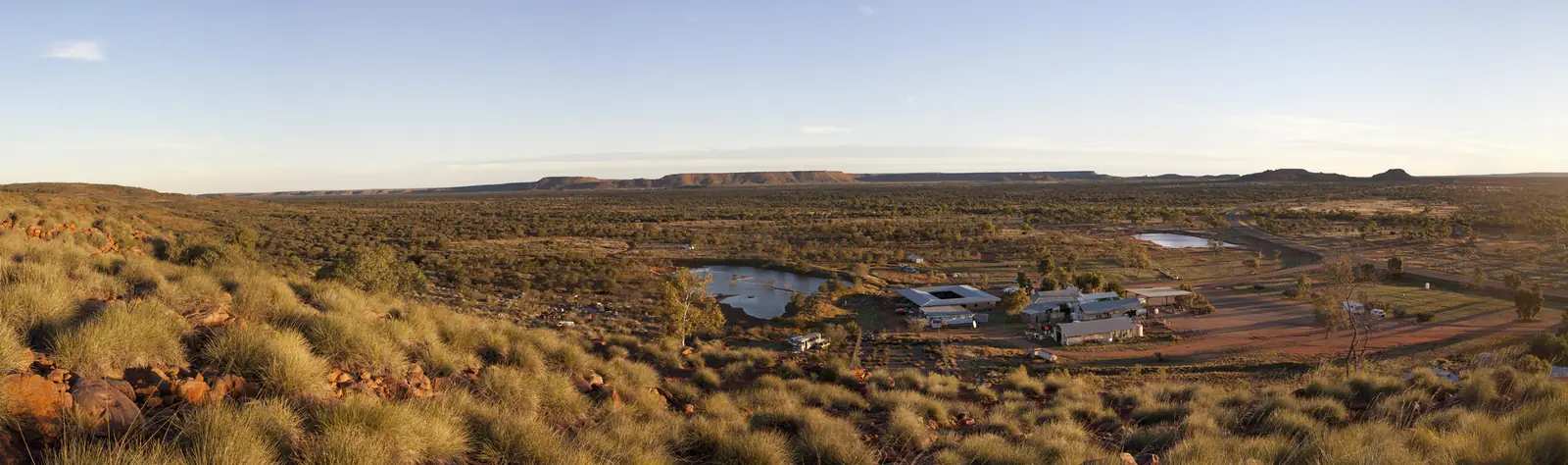
Barrow Creek
Barrow Creek travel guide: Stuart Highway Overland Telegraph stop 282 km north of Alice Springs — NT Parks Historical Reserve, Heritage Register, Barkly Shire Davenport locality. Not a Darwin suburb.
Read · 8 min
Northern Territory · Red Centre
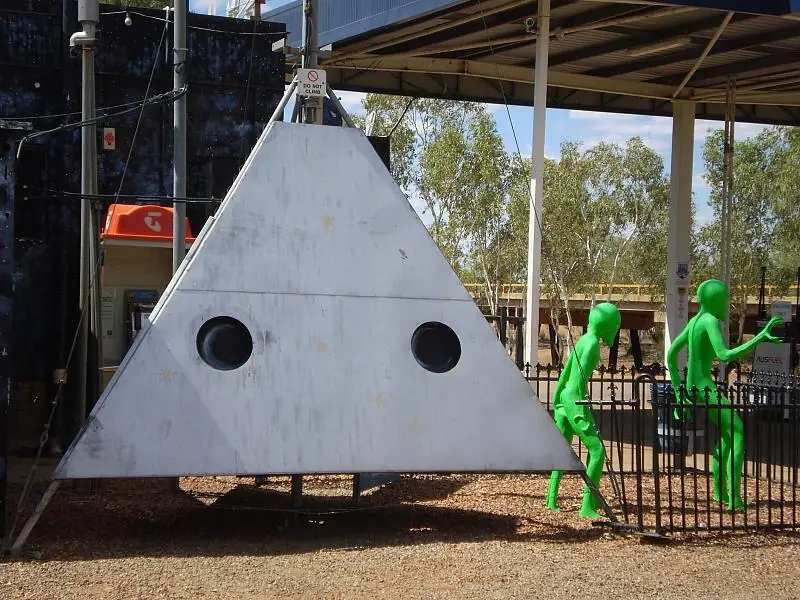
Wycliffe Well
Wycliffe Well travel guide: Stuart Highway holiday park 130 km south of Tennant Creek — Tourism NT WWII market garden, Karlu Karlu neighbour. Not a Darwin suburb.
Read · 6 min
Northern Territory · Red Centre
Finke
Finke (Aputula) travel guide: MacDonnell Regional Council community on the old Ghan, 434 km from Alice Springs via Titjikala. ABS 2021: 191 people. Finke Desert Race midway. Official NT wording only.
Read · 7 min
Frequently asked questions
Which towns are in the Red Centre hub?
Full town guides cover Alice Springs and Yulara. The surrounding parks — Tjoritja / West MacDonnell, Watarrka (Kings Canyon) and Uluṟu-Kata Tjuṯa — have their own national-park pages.
How far is Uluru from Alice Springs?
About 450 km by road, roughly five hours each way. Most visitors stay at least one night at Yulara rather than attempting a day trip.
What is the best time to visit the Red Centre?
April to September, when days are warm and nights cool to cold. Bureau of Meteorology averages for Alice Springs Airport show mean maximums of about 19.9°C in July and 36.6°C in January, with July mean minimums of about 3.9°C.
Do I need a permit for the Red Centre?
Public roads, towns and national parks do not need an Aboriginal-land permit. You do need park passes: an NT Parks Pass for many Territory-managed parks, and a Parks Australia pass for Uluṟu-Kata Tjuṯa. The Mereenie Loop needs a permit. Off public roads, apply through the Central Land Council.
Sources and further reading
Facts on this page were checked against these primary and official sources. Conditions change — confirm before you travel or buy.
- Road report NT — Northern Territory Government
- NT parks — Northern Territory Government
- Climate statistics for Alice Springs Airport (015590) — Bureau of Meteorology
- Buy your pass, Uluṟu-Kata Tjuṯa National Park — Parks Australia
- Permits to enter Aboriginal land — Central Land Council
- Discover Central Australia — Tourism Central Australia
- Watarrka National Park — Northern Territory Government