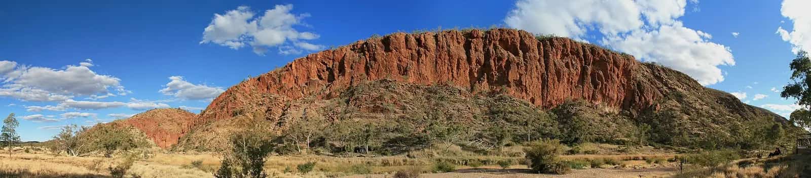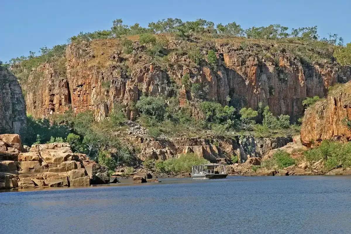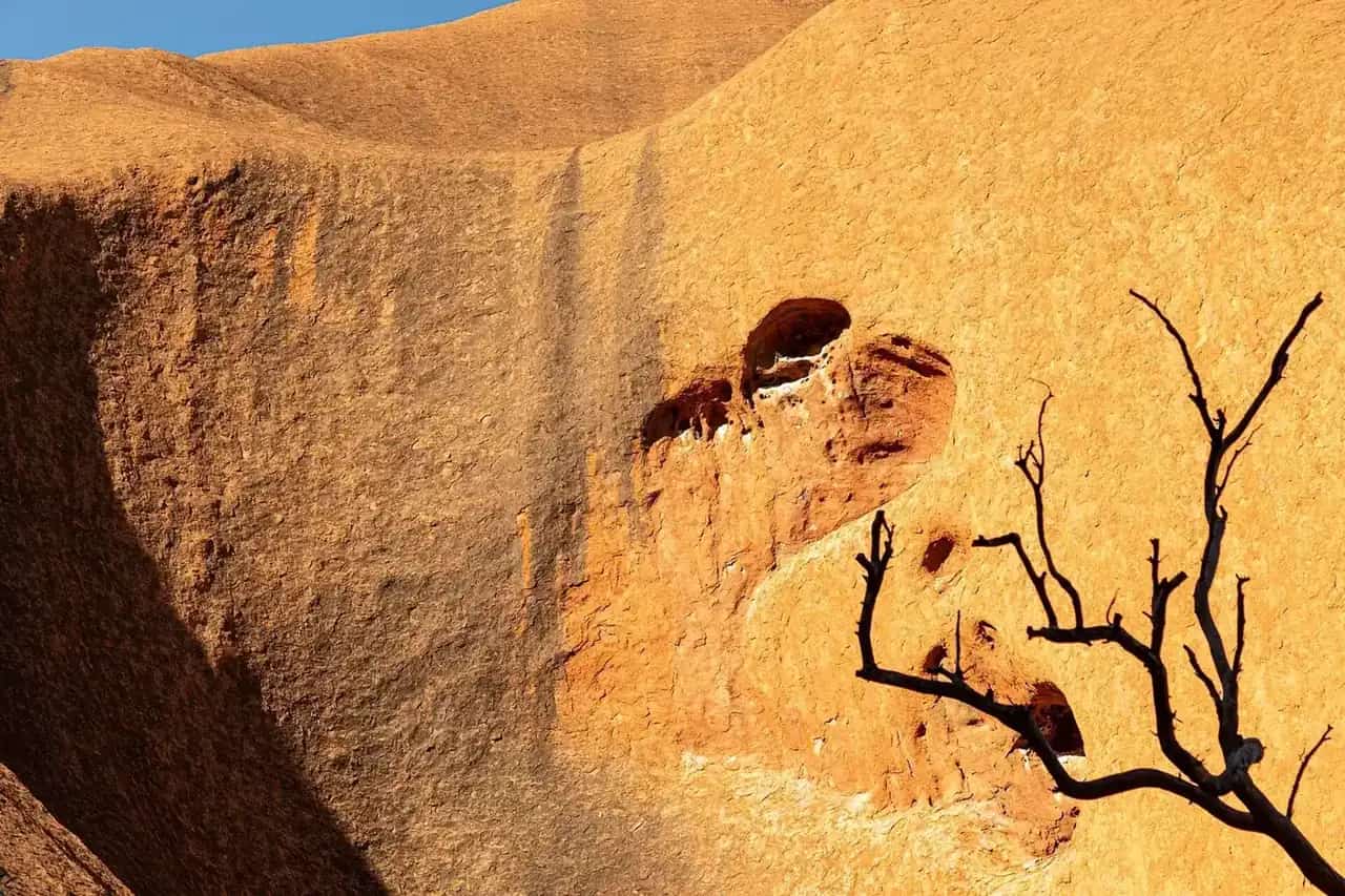
The Northern Territory is often described as two places: the arid Red Centre around Alice Springs, and the tropical Top End around Darwin, Kakadu and Katherine. Between them the Barkly is cattle country crossed by the Stuart and Barkly highways. In this rebuilt directory the original "top end" town region includes Katherine and the Stuart Highway stops that travellers use to get there from the south: Tennant Creek, Daly Waters and Mataranka. Darwin itself is the capital at the end of the Adelaide to Darwin drive and is not a town page in this hub.
Aboriginal people make up a much larger share of the Territory's population than in any Australian state. Public roads, towns and national parks do not need a land permit; leaving those corridors does. Apply through the Central Land Council or Northern Land Council as required. Follow signs at sacred sites.
Town guides
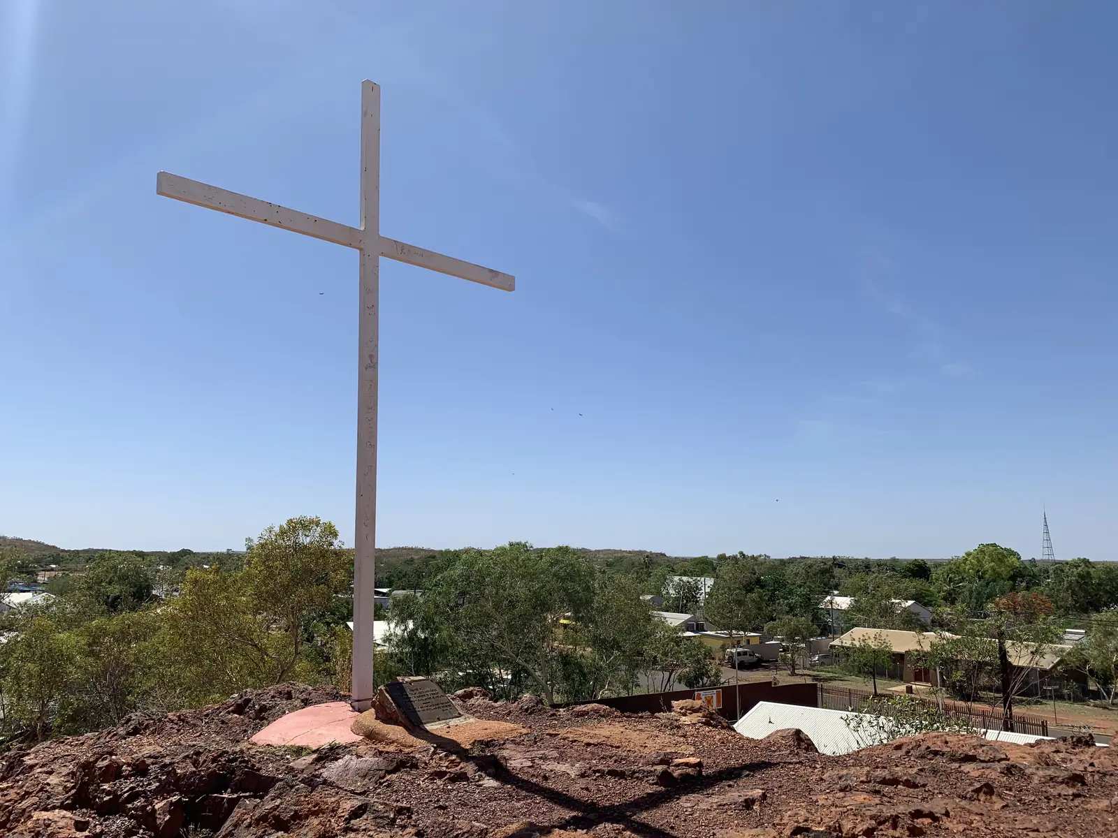
Tennant Creek is the Barkly's main town, about 500 km north of Alice Springs on the Stuart Highway. It grew from a 1930s gold rush on Warumungu Country. The Nyinkka Nyunyu Art and Culture Centre is the place to start. About 100 km south, Karlu Karlu / Devils Marbles Conservation Reserve is a sacred site of granite boulders — stay on marked paths. The historic telegraph station sits near town. The Barkly Highway runs east from Three Ways towards Camooweal and Mount Isa in Queensland.
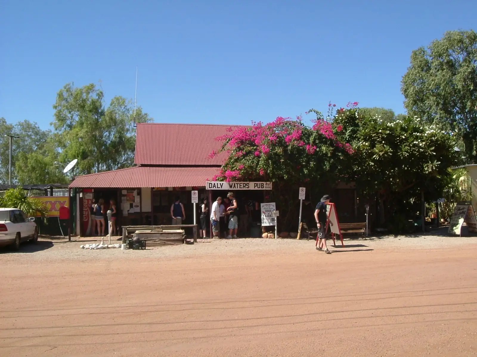
Daly Waters is a short hop off the Stuart Highway, known for its historic pub — a classic overnight on the long sealed run between Tennant Creek and Mataranka. Services are limited; treat it as a stop, not a supply town.
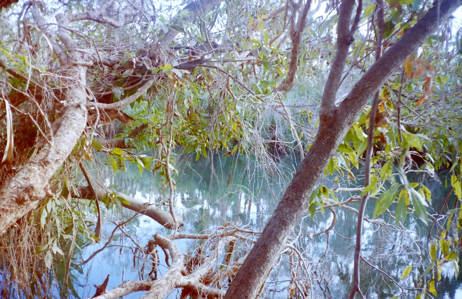
Mataranka is about 105 km south-east of Katherine. The warm, palm-fringed Mataranka Thermal Pool and Bitter Springs sit in Elsey National Park. The area is tied to Jeannie Gunn's We of the Never Never. NT Parks manages access, swimming and crocodile advice. Saltwater crocodiles inhabit Top End rivers; thermal pools are managed sites, not an excuse to ignore signs.
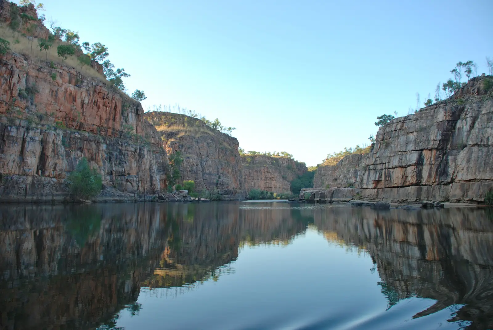
Katherine is the Top End's inland crossroads, where the Stuart, Victoria and Savannah Way routes meet. It is the gateway to Nitmiluk National Park: gorge cruises, canoeing between the walls, escarpment walks and Leliyn (Edith Falls). Katherine Hot Springs in town are a dry-season swim (council hours 7 am–7 pm; closed to swimmers in the wet when the river rises). Flights and the Ghan serve Katherine. The Victoria Highway runs west to Kununurra in Western Australia.
Pine Creek is the Stuart Highway gold town between Katherine and Darwin — a highway overnight, not a Kakadu town page.
Adelaide River is the Top End railway and wartime town south of Darwin (the town, not a river landscape page), used as a Litchfield approach.
Batchelor is the Litchfield gateway town off the Stuart Highway, not a Darwin suburb page.
Timber Creek is the Victoria Highway town toward the Kimberley.
Elliott is the Stuart Highway Barkly town Tourism NT calls halfway between Darwin and Alice Springs (Kulumindini).
Newcastle Waters is the historic Barkly / Stuart Highway township (not Newcastle NSW).
Three Ways is the Stuart / Barkly Highway junction (Threeways Roadhouse), not a Darwin suburb.
Larrimah is the Stuart Highway locality between Mataranka and Daly Waters.
Borroloola is the Gulf / Savannah Way town on the McArthur River — not a Darwin suburb.
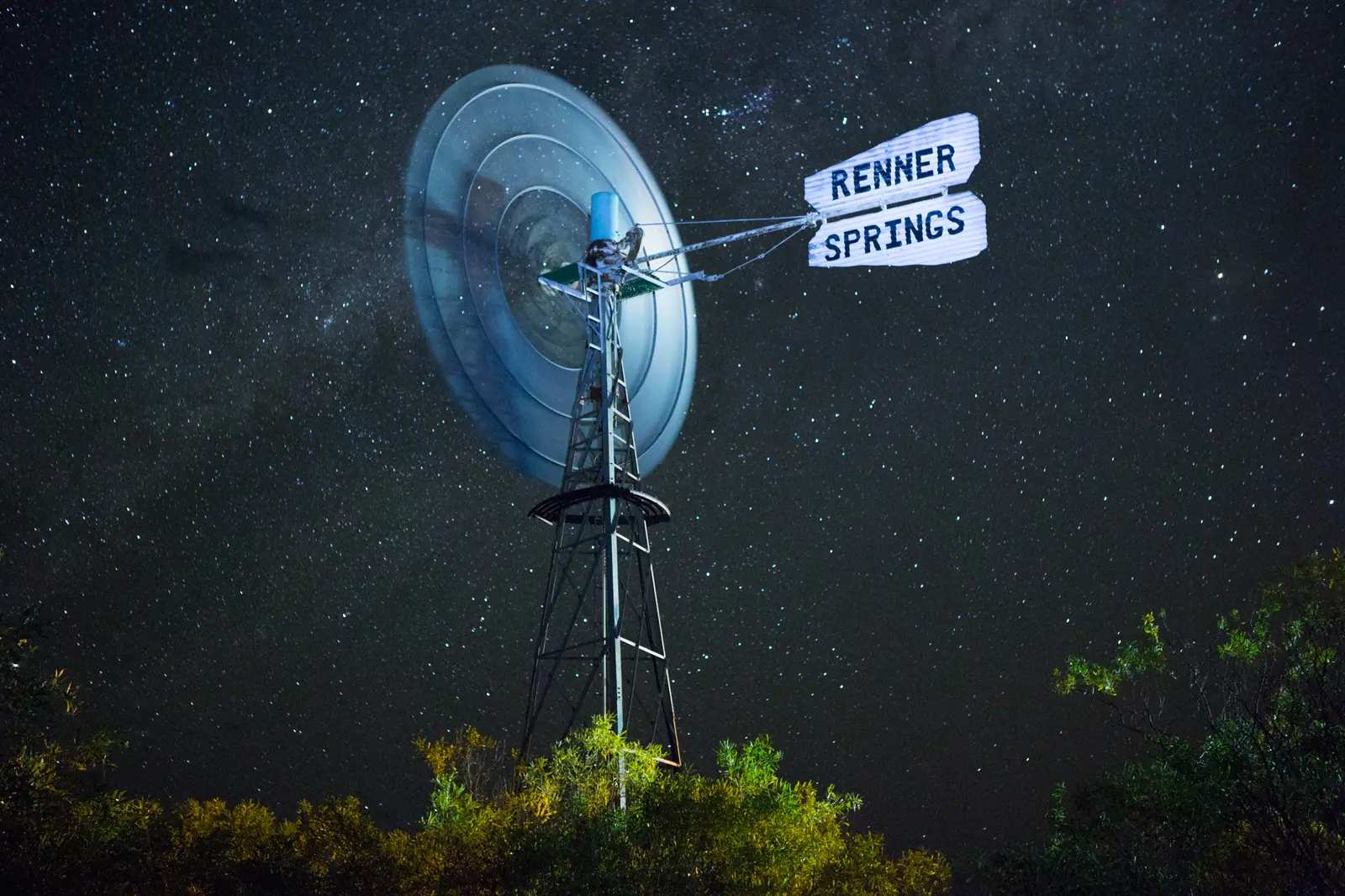
Renner Springs is the Stuart Highway locality between Elliott and Three Ways (not a Darwin suburb).
Parks and the highway
Nitmiluk is the headline park: cruises on the first gorges, longer canoe trips when water and crocodile surveys allow, and helicopter flights over the sandstone. Leliyn is a separate day. Interstate visitors need an NT Parks Pass for Nitmiluk, Elsey, Litchfield and many other Territory-managed parks. Kakadu, north-east of Darwin, is Parks Australia and has its own pass.
Litchfield National Park, about 100 km from Darwin, is the waterfall-and-termite-mound day trip at the northern end of this corridor. Kakadu is a longer stay. Neither replaces Katherine as the gorge town on the Stuart Highway.
The Stuart Highway is sealed the whole way. Distances are still long: Alice Springs to Katherine is a full day's drive if you add Karlu Karlu and Mataranka; Alice Springs to Darwin is about 1,500 km. Road trains are constant. Wildlife, especially at dusk, is a real hazard. The NT Road Report is the official source. In the wet, even sealed roads and park access tracks can close.
When to go
Top End (Katherine, Mataranka): dry season roughly May to October — the season for cruises, walking and camping. The wet (about November to April) is hot, humid and spectacular in its storms, but gorges can flood, some tours stop, and crocodile risk in floodplains rises. Barkly (Tennant Creek): more like the Red Centre — hot summers, milder winters. April to September is the comfortable window for Karlu Karlu.
See best time to visit, wet season and road closures and crocodile safety.
A Stuart Highway plan
South to north: Alice Springs in the Red Centre hub, then Tennant Creek and Karlu Karlu, Daly Waters for a pub night, Mataranka for the springs, Katherine for Nitmiluk (give it two nights), then Darwin or west on the Victoria Highway towards the Kimberley. Visitor centres in Tennant Creek and Katherine, and the Nitmiluk visitor centre at the gorge, are the desks for cruise bookings, park-pass checks and whether Edith Falls is open.
Respect and permits remain the Territory's ground rules: stay on public roads unless you have a permit, and buy art from Aboriginal-owned centres where artists benefit. See Aboriginal-led experiences. Return to the Northern Territory state guide for the Red Centre pairing, or continue into Queensland via the Barkly Highway towards Camooweal and Mount Isa.
Towns in this region
Northern Territory · Top End
Katherine
Katherine, NT: Nitmiluk (Katherine Gorge) cruises and canoeing, Katherine Hot Springs, Leliyn (Edith Falls), Mataranka and Stuart Highway travel tips.
Read · 7 min
Northern Territory · Top End
Tennant Creek
Tennant Creek travel guide: the Barkly gold town, Nyinkka Nyunyu Art and Culture Centre, Karlu Karlu / Devils Marbles and the telegraph station.
Read · 7 min
Northern Territory · Top End
Mataranka
Mataranka travel guide: Bitter Springs and the Mataranka Thermal Pool in Elsey National Park, We of the Never Never history, and travel tips.
Read · 6 min
Northern Territory · Top End
Daly Waters
Daly Waters travel guide: the famous Daly Waters pub, the historic airfield and hangar, Stuart's tree, and travel tips on the Stuart Highway.
Read · 6 min
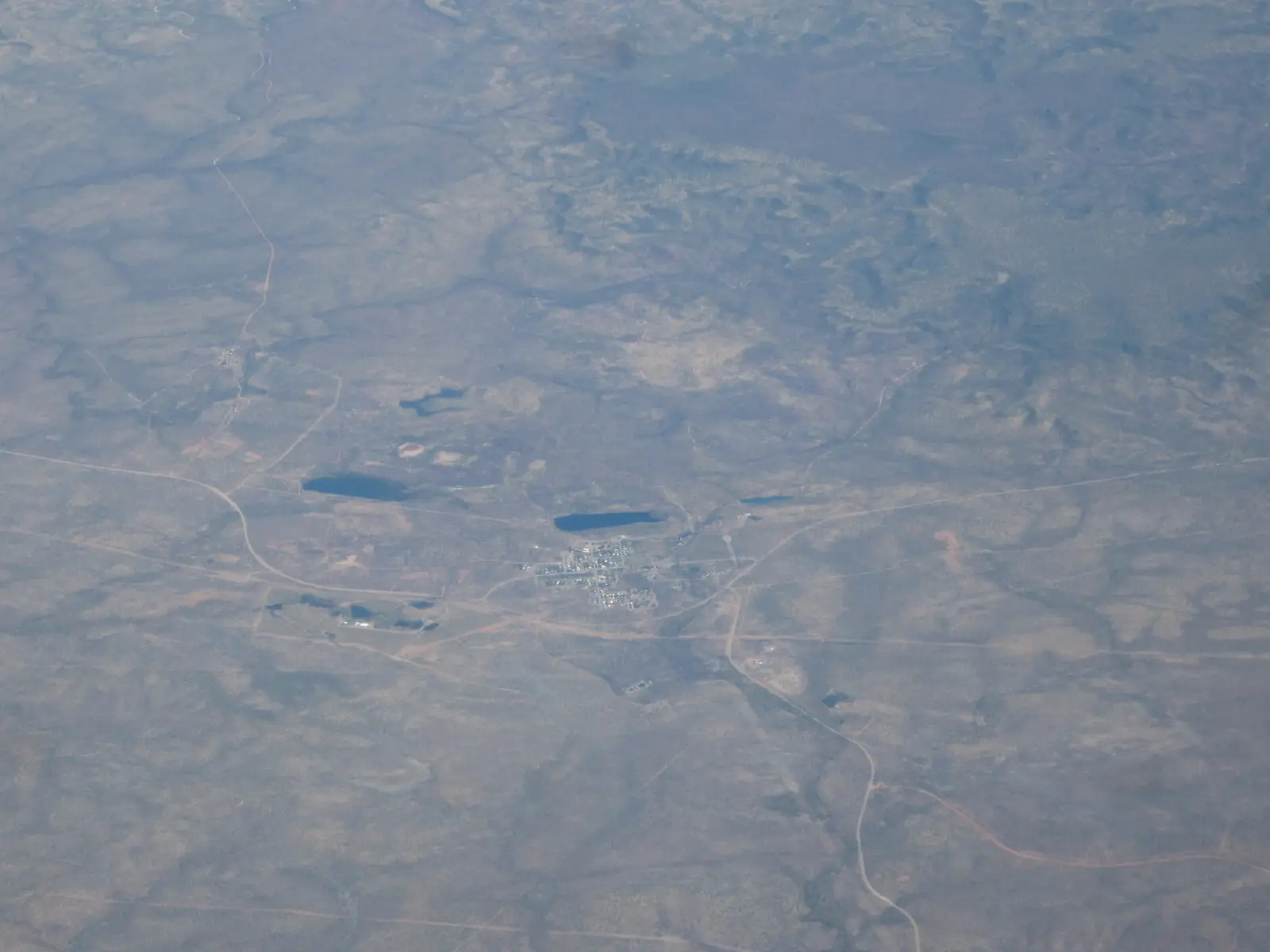
Northern Territory · Top End
Pine Creek
Pine Creek travel guide: Tourism NT gold town 90 km north of Katherine on the Stuart Highway — Repeater Museum, Lake Copperfield, Umbrawarra Gorge, NT Parks Pass notes. Kakadu is a park, not a town hub.
Read · 7 min
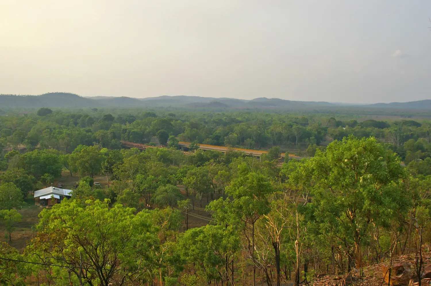
Northern Territory · Top End
Adelaide River
Adelaide River travel guide for the Stuart Highway town south of Darwin — War Cemetery, railway siding, Litchfield approach. This is the town, not Tourism NT’s jumping-crocodile river destination on the Arnhem Highway.
Read · 7 min
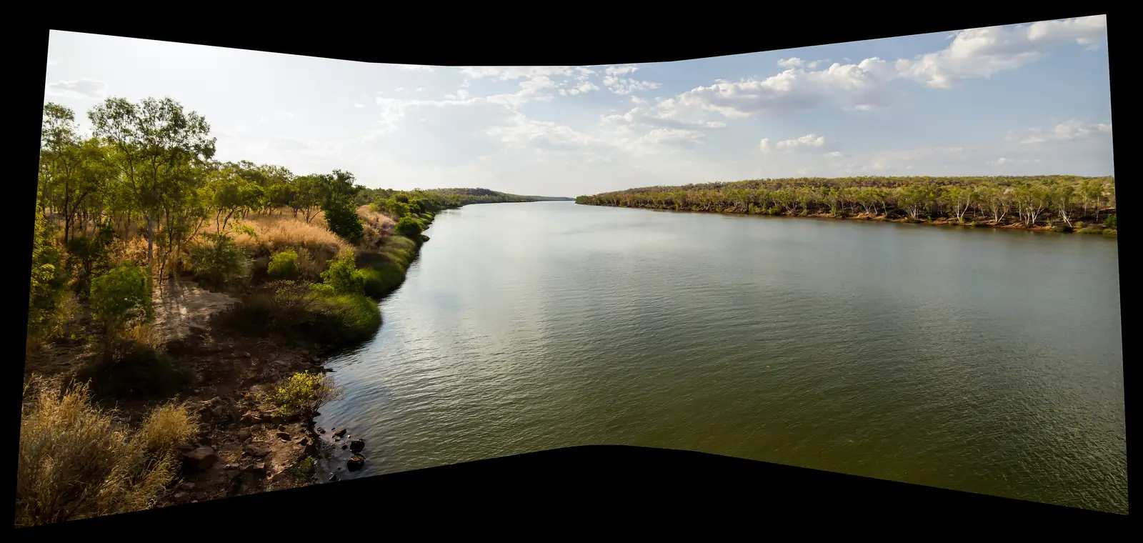
Northern Territory · Top End
Timber Creek
Timber Creek travel guide: Victoria Daly town 285 km west of Katherine on the Victoria Highway — Judbarra / Gregory, Gregory’s Tree, Police Station Museum, Victoria River fishing. Not a Stuart Highway stop.
Read · 9 min
Northern Territory · Top End
Elliott
Elliott travel guide: Barkly Regional Council town 250 km north of Tennant Creek on the Stuart Highway — Kulumindini, Jingili Country, Number 8 bore wartime camp. Halfway Darwin–Alice on Tourism NT, not a Top End waterfall town.
Read · 8 min
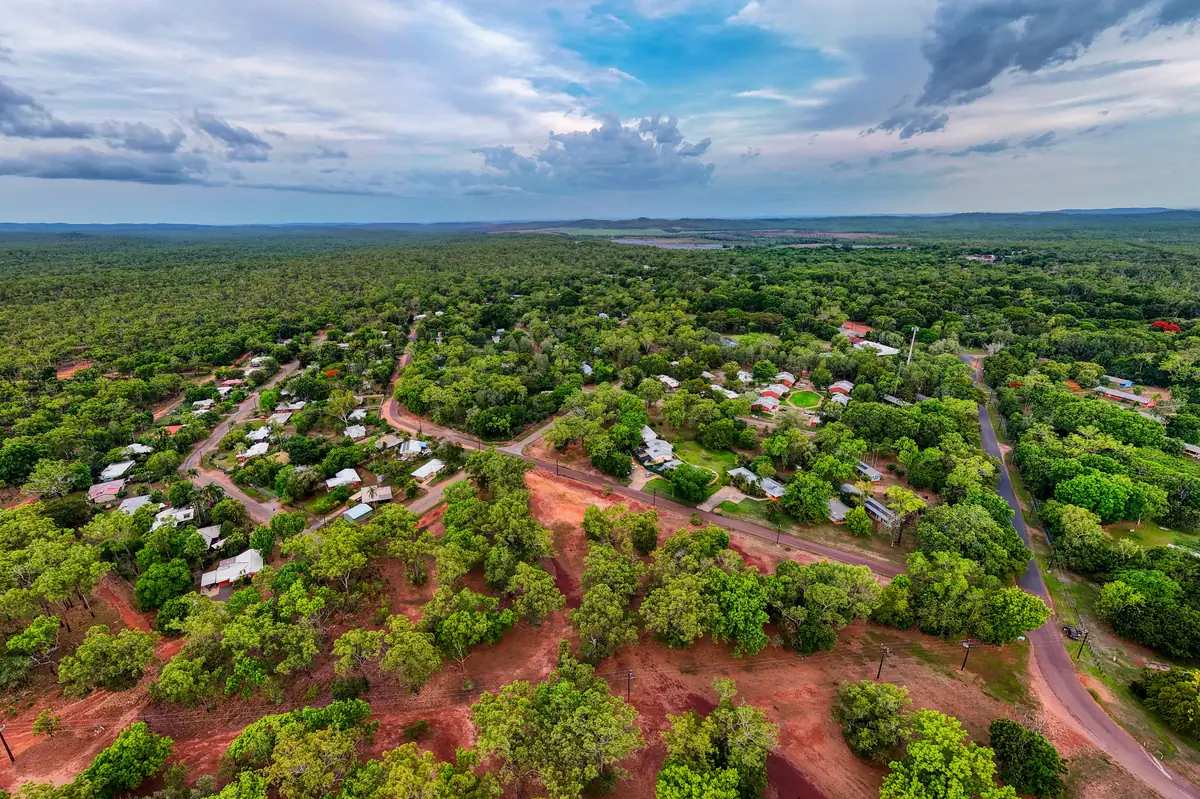
Northern Territory · Top End
Batchelor
Batchelor travel guide: Coomalie Community Government Council town 98 km south of Darwin — Litchfield National Park gateway, Rum Jungle history, Batchelor Institute. This is the Top End town, not a Darwin suburb page.
Read · 7 min
Northern Territory · Top End
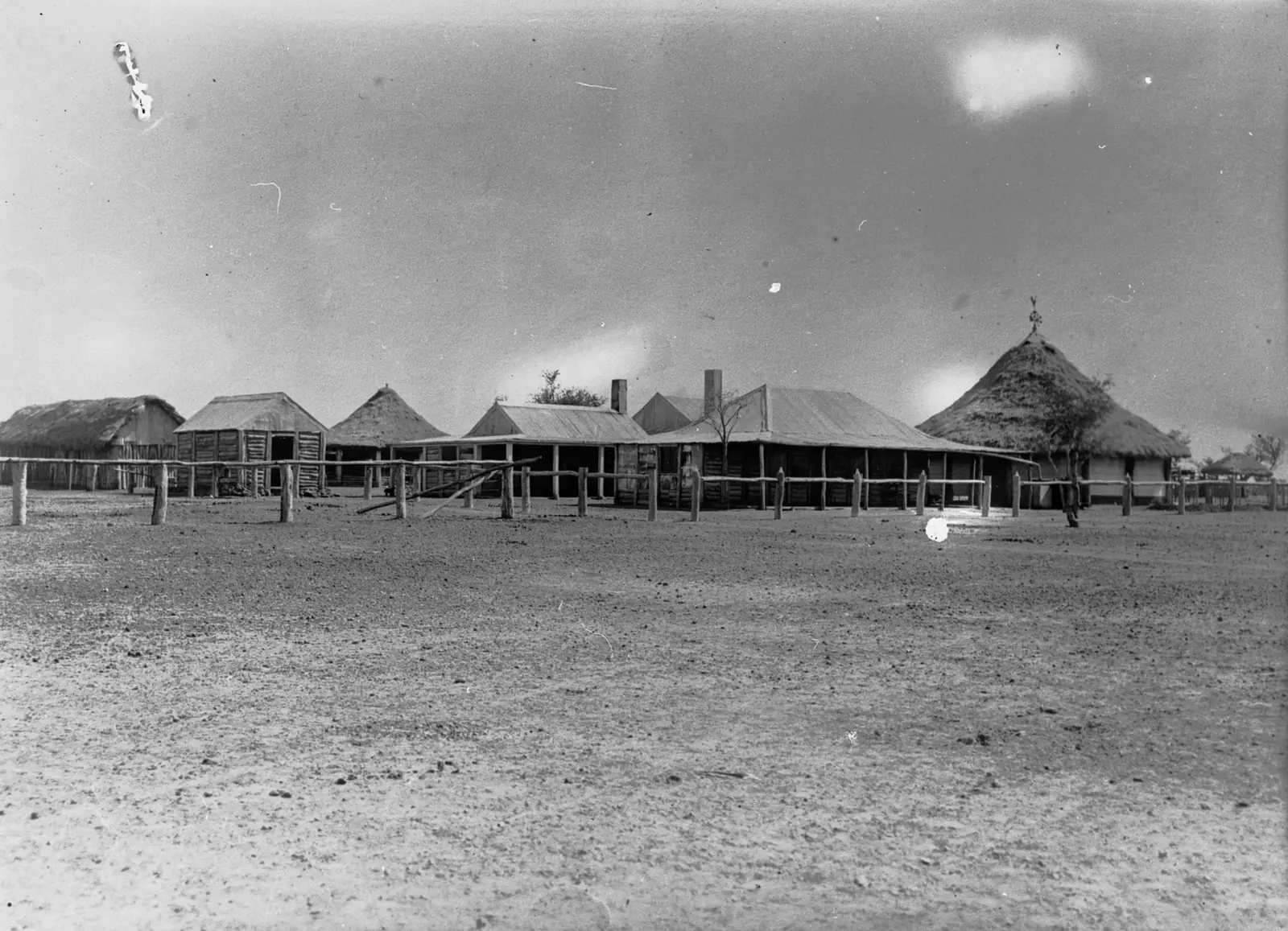
Newcastle Waters
Newcastle Waters travel guide: Barkly historic drovers township 3 km off the Stuart Highway, 25 km north of Elliott — Marlinja, Drovers Memorial Park, Murranji Track start. Northern Territory, not Newcastle NSW.
Read · 9 min
Northern Territory · Top End
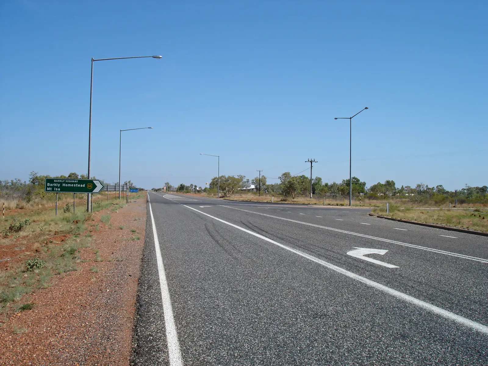
Three Ways
Three Ways travel guide: Stuart Highway / Barkly Highway junction north of Tennant Creek — Threeways Roadhouse, John Flynn Memorial, not a Darwin suburb. Official NT Place Names and Tourism NT wording.
Read · 7 min
Northern Territory · Top End
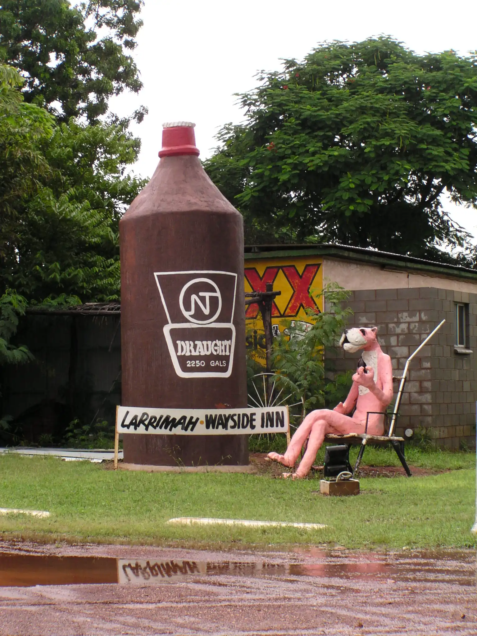
Larrimah
Larrimah travel guide: Stuart Highway locality between Mataranka and Daly Waters — WWII Gorrie Airfield, heritage museum in the 1942 repeater station, Pink Panther Hotel. This is the NT highway town, not a Darwin suburb.
Read · 8 min
Northern Territory · Top End
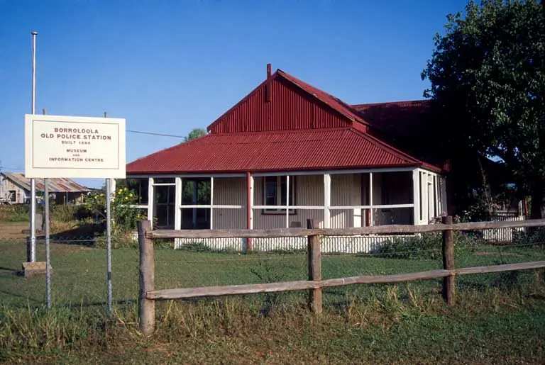
Borroloola
Borroloola travel guide: Roper Gulf town on the McArthur River, 670 km east-south-east of Katherine — King Ash Bay, Caranbirini, Barranyi. This is the NT Gulf / Savannah Way town, not a Darwin suburb.
Read · 9 min
Northern Territory · Top End
Renner Springs
Renner Springs travel guide: Stuart Highway stop 150 km north of Tennant Creek — Tourism NT Desert Inn, Overland Telegraph 1877, lagoon walk. Not a Darwin suburb.
Read · 6 min
Frequently asked questions
Which towns are in this Top End hub?
Full guides cover Katherine, Tennant Creek, Mataranka and Daly Waters. In the original Outback Now directory these Stuart Highway towns sat in the Top End region, even though Tennant Creek is geographically in the Barkly.
How far is Katherine from Darwin?
About 320 km south on the sealed Stuart Highway, roughly three to three and a half hours. Watch for road trains and wildlife.
When is the best time to visit?
The Top End dry season, roughly May to October, is peak time — warm days, lower humidity, gorge cruises running. The wet season brings storms, humidity and road closures. Tennant Creek follows a more arid calendar, most comfortable from April to September.
Can you swim at Katherine Gorge and Mataranka?
Swimming in Nitmiluk is permitted only in some areas after rangers have surveyed for saltwater crocodiles — obey signs. Katherine Hot Springs are open daily in the dry but Katherine Town Council closes them to swimmers in the wet, about October to April, when the Katherine River rises. Mataranka Thermal Pool and Bitter Springs are in Elsey National Park; check NT Parks for current access.
Sources and further reading
Facts on this page were checked against these primary and official sources. Conditions change — confirm before you travel or buy.
- Road report NT — Northern Territory Government
- NT parks — Northern Territory Government
- Nitmiluk National Park — Northern Territory Government
- Visit Katherine — Katherine Town Council
- Permits to enter Aboriginal land — Central Land Council
- Karlu Karlu / Devils Marbles — Northern Territory Government