At a glance
Sourced facts only. Distances and services change — confirm before you travel.
- Population
- 62 people (SAL31313, 2021 Census)QuickStats notes limited tables because of the small population.
- Local government
- Balonne Shire
- Nearest regional city
- Lightning Ridge 63 km (Lightning Ridge Tourism Association 2026 map); Dirranbandi 66 km on Explore St George Region’s Produce, Parks and Pubs itinerary
- Nearest fuel
- Confirm in the service town named under nearest regional city; this guide does not list bowser brands.
- Nearest hospital or clinic
- Confirm with Queensland Health — do not invent a clinic name.
- Mobile coverage
- Check Telstra and Optus coverage maps before travel; do not assume a signal on floodways, parks or unsealed approaches.
- Best time to visit
- May–September on Lightning Ridge Visitor Information Centre (048243) cooler mean maxima (July 19.0 °C; January 36.3 °C). QLDTraffic after rain.
Climate
Monthly means from the Bureau of Meteorology station Lightning Ridge Visitor Information Centre (048243). This is not a forecast. Commenced 1997. Elevation 154 m. Status: Open. Annual mean rainfall 465.7 mm. Hebel has no township table on the monthly index used here. Lightning Ridge Visitor Information Centre is the labelled border comparison on the Hebel weather page — a NSW station, not a Hebel town gauge.
| Month | Mean max (°C) | Mean min (°C) | Rainfall (mm) |
|---|---|---|---|
| Jan | 36.3 | 22.9 | 50.0 |
| Feb | 34.8 | 21.7 | 44.2 |
| Mar | 32.3 | 19.2 | 51.6 |
| Apr | 28.0 | 14.4 | 25.7 |
| May | 23.1 | 9.5 | 26.2 |
| Jun | 19.4 | 6.7 | 42.4 |
| Jul | 19.0 | 5.2 | 28.3 |
| Aug | 21.7 | 6.5 | 21.9 |
| Sep | 26.5 | 10.6 | 28.0 |
| Oct | 29.6 | 14.6 | 39.1 |
| Nov | 32.2 | 18.4 | 54.1 |
| Dec | 34.8 | 20.5 | 52.1 |
Hebel in pictures
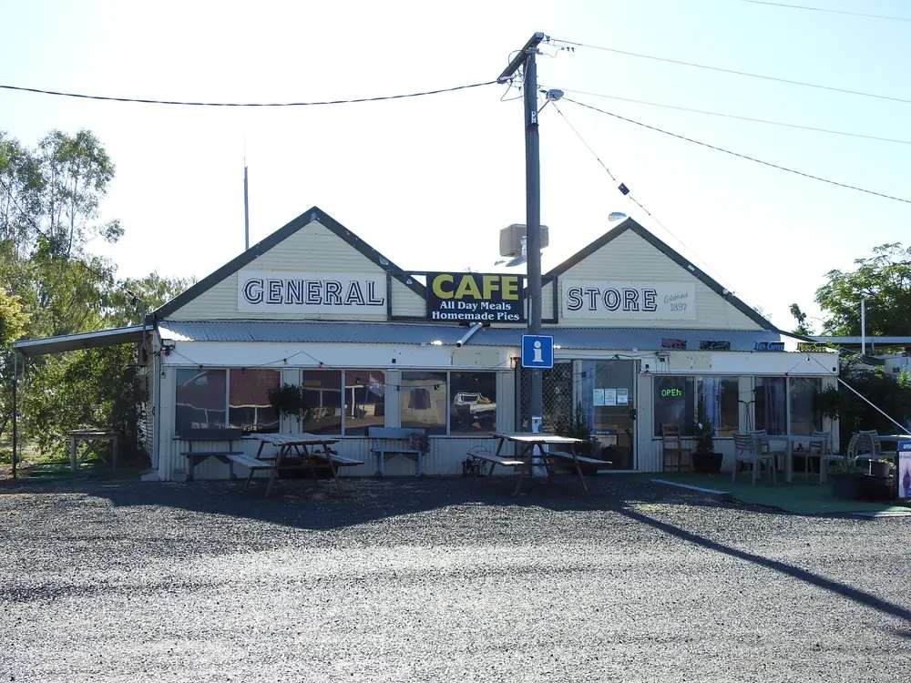
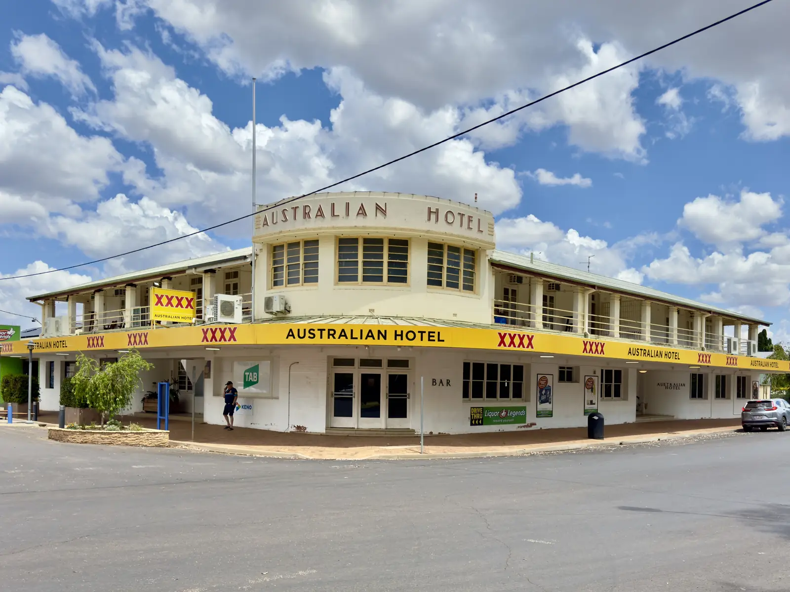
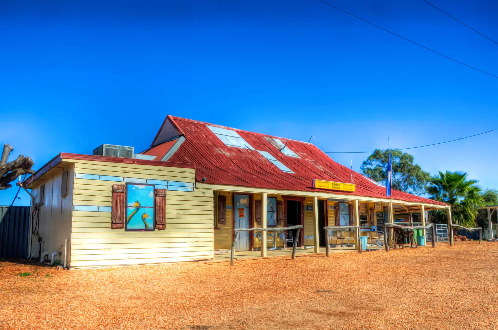
Hebel general storePhoto: Q8682 · CC BY-SA 4.0 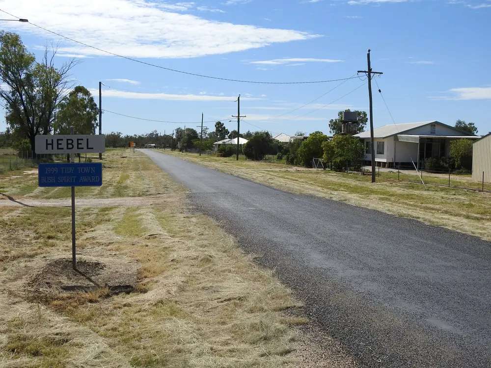
Hebel town signPhoto: Q8682 · CC BY-SA 4.0 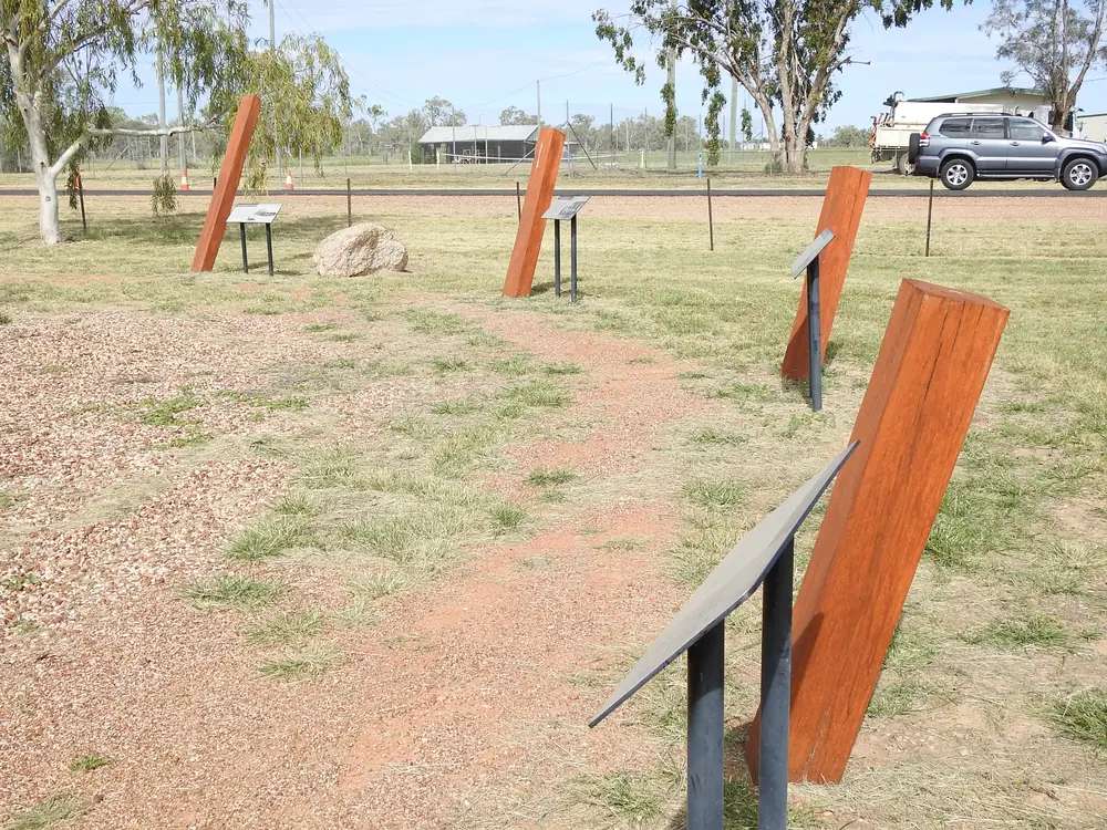
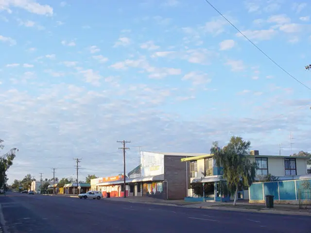
Hebel historical circlePhoto: Q8682 · CC BY-SA 4.0 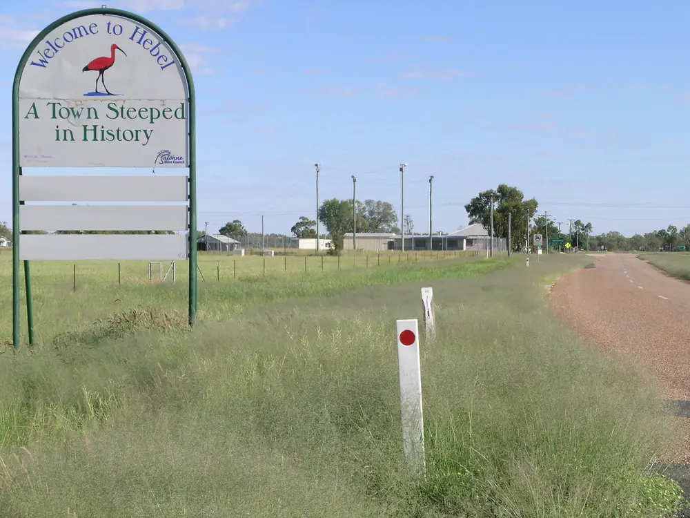
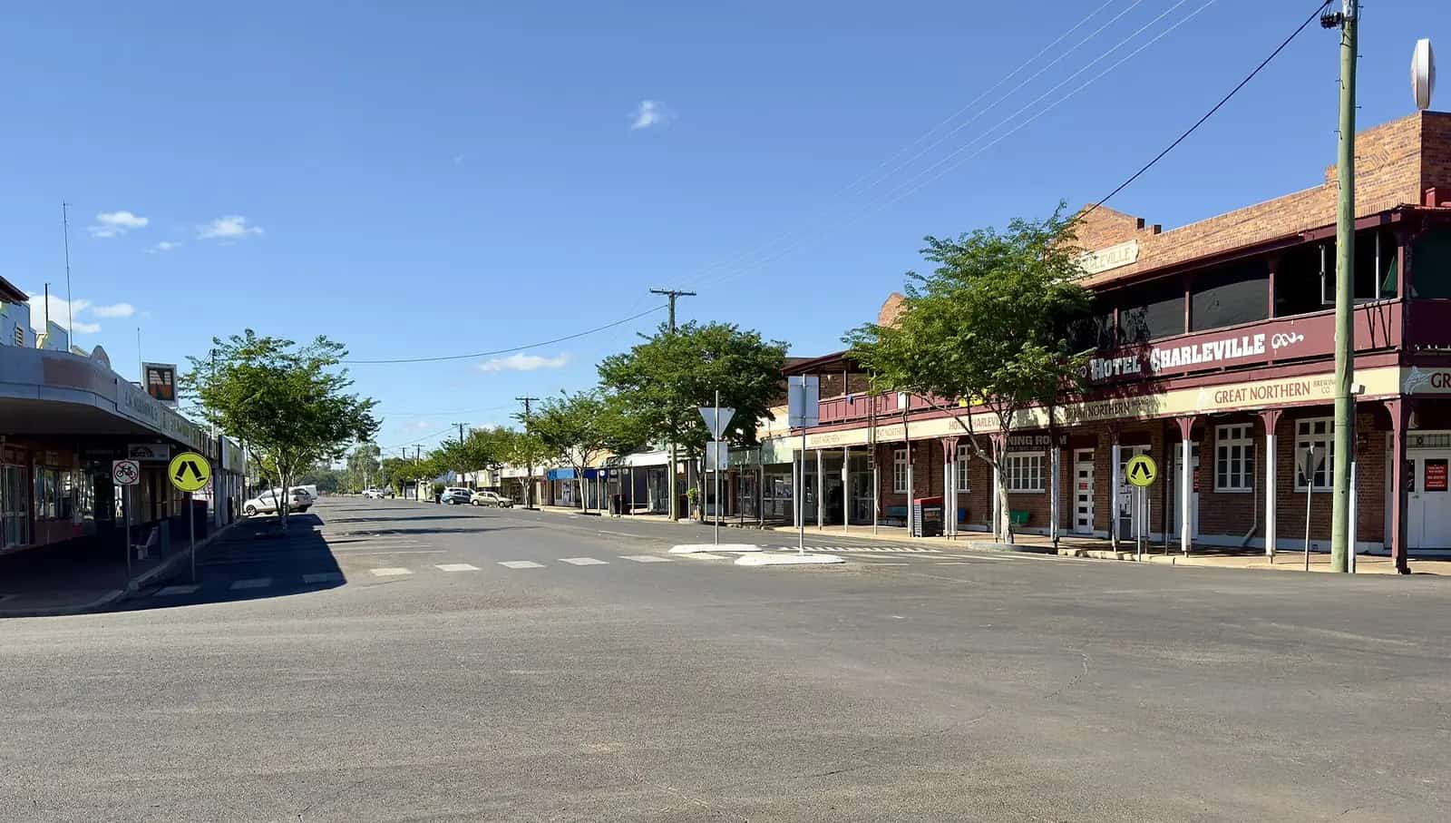
A view over HebelPhoto: Cgoodwin · CC BY-SA 3.0
Hebel is Balonne Shire’s Castlereagh Highway border gate in Queensland’s south-west — Explore St George Region’s Kelly’s Point, a pub-and-circle stop facing Lightning Ridge, not a cotton town and not a second Dirranbandi. That visitor site names it as one of seven shire towns with St George, Bollon, Dirranbandi, Mungindi, Nindigully and Thallon. Lightning Ridge Tourism Association’s 2026 map puts Hebel 63 km from Lightning Ridge. Explore St George Region’s Produce, Parks and Pubs itinerary puts Hebel 66 km from Dirranbandi. This hub is the Queensland side of that border pair. Do not treat Lightning Ridge as the same place.
The Australian Bureau of Statistics does not publish a 2021 Urban Centre (UCL) named Hebel. Use suburbs-and-localities SAL31313: 62 people, median age 51, sex split 60.0% male / 40.0% female. The ABS QuickStats page notes that limited information is provided because of the small population, and that small random adjustments have been made for confidentiality.
The Castlereagh is sealed through town in ordinary weather. You still need QLDTraffic after rain, and Live Traffic NSW once you cross toward Lightning Ridge. A 63 km run is no use if either side has closed the road.
Where it is, and how far
Hebel sits on the Queensland side of the border on the Castlereagh Highway corridor that links Dirranbandi with Lightning Ridge. Explore St George Region’s Hebel page puts getting a border selfie among the reasons to stop. The same page names Culgoa Floodplain National Park as a 4WD outing from town. Queensland Parks locates that park on the Queensland–NSW border, south-east of Cunnamulla, about 230 km from St George.
If you are coming from St George, the official itinerary runs Hebel–Dirranbandi 66 km, then Dirranbandi–Thallon 65 km, then Thallon–St George 79 km with a Nindigully pit stop. That is a multi-town loop, not a claim that Hebel is 66 km from St George. This hub does not invent a St George kilometre figure that is not on those pages.
| Place | Distance from Hebel (sourced) |
|---|---|
| Lightning Ridge | 63 km (Lightning Ridge Tourism Association 2026 map) |
| Dirranbandi | 66 km (Explore St George Region itinerary) |
| St George | not printed as a single Hebel figure on the pages used; park page puts Culgoa ~230 km from St George |
Cunnamulla is the next large Queensland service town west of this border pocket on the Adventure Way, not a Hebel suburb.
Facts at a glance
Population. ABS 2021 Census, Suburbs and Localities SAL31313: 62 people. Median age 51. 17 families, 46 private dwellings. No UCL. Use the Hebel SAL QuickStats.
Climate. BOM lists HEBEL STORE, 044042 on the Queensland rainfall-station directory (about 28.97°S, 147.80°E). BOM does not publish a monthly climate-averages table for that site. The nearest published table across the border is Lightning Ridge Visitor Information Centre, 048243, 63 km south: commenced 1997, elevation 154 m, January mean maximum 36.3 °C, July mean maximum 19.0 °C, July mean minimum 5.2 °C, annual mean rainfall 465.7 mm (26 years, 1997–2026). Full columns: BOM Lightning Ridge VIC. St George Airport (043109) is the nearest published Queensland table further north. See Hebel weather.
Visitor information. No Hebel VIC on the sourced pages. Use St George Region Visitor Information Centre, 114 St George’s Terrace, (07) 4620 8877, or the Dirranbandi Rural Transaction Centre listed on the Culgoa park tourism-links page (07 4625 8411). Lightning Ridge’s visitor centre is the NSW desk if you are crossing south.
Traditional Owners
Explore St George Region’s visitor guide publishes a generic Acknowledgement of Country for the shire and does not name a single nation for the Hebel townsite. Queensland Parks’ Culgoa Floodplain page records stone tool scatters and cooking sites and a long Aboriginal association with the park, without naming a nation on the about page fetched for this research. This hub follows that wording rather than flattening several nations into one label. Confirm a sentence you want on a plaque with the St George visitor centre.
History
Explore St George Region’s Hebel page and visitor guide: the town was first known as Kelly’s Point. Local rumour has it that members of the Kelly Gang, Dan Kelly and Steve Hart, lived here in secret. The name changed to Hebel in the 1880s; the guide says origins remain a mystery — some suggest a German settler (the guide prints Weiner Von Hebel), others an Aboriginal word meaning hot place. Treat both as visitor-guide suggestions, not as a settled etymology.
The same guide says the Hebel Hotel opened in 1894 as a Cobb & Co changing station before later operating as a hotel, originally the Commercial Hotel. Balonne’s pub-trail brochure notes land acquired in 1886 and a news mention in 1889, and that the hotel is likely the oldest building in town. This hub stops where those official PDFs stop.
A dance hall built in 1897 is identified in the visitor guide as the building that became the Hebel General Store and Caravan Park.
Things to do
Hebel Historical Circle. The visitor guide describes tall timber posts over illustrated signs narrating Hebel’s history, with play equipment. That is the locality’s outdoor exhibit, separate from the pub.
Hebel Hotel. Explore St George Region names the ochre-red roof and artworks on the front by Australian realist painter John Murray as a road-trip photograph. Interior recycled bush furniture is described in the same guide. Hours and meals change; confirm when you arrive.
Hebel General Store. Named as more than a store: memorabilia, meals, and a pet-friendly caravan park at the rear. Trading details change; the VIC is the live check.
Bokhara River. The visitor guide puts fishing a stone’s throw from the main street. Queensland fisheries rules apply. This facts set does not list species.
Culgoa Floodplain National Park. Queensland Parks: floodplain in the Murray-Darling Basin, more than 150 bird species, coolibahs, black box, brigalow, gidgee, mulga. 4WD access. Tent and camper-trailer camping. Pets prohibited. Stone tool scatters and cooking sites. Relics of Byra Station. Pre-book park campsites via the Queensland Parks camping system (13 74 68). See things to do in Hebel.
There is no national park inside the main street. Culgoa is the park outing, and it is a self-sufficient 4WD trip.
Where to stay
Explore St George Region names hotel rooms at the Hebel Hotel and a pet-friendly caravan park at the general store. Those are types plus two official names, not a ranked inventory. Confirm at (07) 4620 8877.
- How to choose a type of stay: Hebel accommodation
- Camping and van sites: Hebel caravan parks
- Operator enquiries: feature your business
If Hebel is full, Lightning Ridge is 63 km south (NSW) and Dirranbandi 66 km. Those are distance facts, not booking guarantees. Culgoa camping is a park booking, not a town overflow.
Caravan and camping
The visitor guide names the general-store caravan park (pet friendly) as the town park. Culgoa Floodplain National Park is the bush option: no facilities in the usual commercial sense, 4WD, no pets, pre-book. Ask the VIC about any other designated stops. Do not assume a rest area is a legal overnight. Read Hebel caravan parks and outback camping.
After rain, Culgoa access is the constraint. Queensland Parks says drive only on declared roads. QLDTraffic and the park alerts page first.
Fuel and services
A locality of 62 people will not match St George or Lightning Ridge for fuel, groceries or mechanical help. This guide does not list bowser brands. Fill up in Lightning Ridge or Dirranbandi. The visitor guide describes the general store as stocking essentials — confirm when you arrive, especially on a Sunday. For current questions, use Balonne Shire Council and the St George VIC.
Mobile coverage: the visitor guide says Telstra Next G only within a small radius of surrounding towns. Culgoa has no phone or wifi on the regional parks spread.
Road access
The Castlereagh Highway is the sealed border road through Hebel. It is a freight road. After rain, check QLDTraffic (13 19 40) on the Queensland side and Live Traffic NSW on the New South Wales side. Do not drive around closed signs to keep a park booking.
North-east: Dirranbandi (66 km), then choices toward St George or the Balonne Highway west. South: Lightning Ridge (63 km) and the NSW opal fields. Culgoa is 4WD from the Hebel side on the visitor-guide wording; the park page is the access authority.
Nearby parks and towns
Parks (official park pages):
- Culgoa Floodplain National Park — 4WD, birds, cultural sites, former Byra Station, ~230 km from St George on the park page
Towns on this site:
- Lightning Ridge — 63 km; opal fields, bore baths
- St George — Balonne River, four-highway crossroads
- Nindigully — Moonie River locality, 45 km from St George
- Cunnamulla — Warrego service town if you are heading west on the Adventure Way
- Dirranbandi — cotton town, Cubbie Station, rail precinct
- Thallon — silo art on the St George–Dirranbandi loop
- Bollon — Wallam Creek, Adventure Way west of St George
Mungindi is the Barwon River NSW/Queensland border town.
When to go, and how long
Lightning Ridge VIC’s January mean maximum of 36.3 °C is hot for a Historical Circle walk at midday. July’s 19.0 °C mean maximum is the comfortable walking season; July’s 5.2 °C mean minimum is why a van night needs a layer. Forty-five minutes at the Historical Circle and the hotel front is the minimum. A night lets you fish the Bokhara in a cooler hour. Two nights only if Culgoa is open, booked, and QLDTraffic agrees.
Operators who want a checked listing: feature your business. The listings slot on this hub stays empty until then.
Plan this trip
Tell us the dates, who you are travelling with and where you need help. We reply with planning notes for Hebel — we are not a booking agent.
Events and road-conditions newsletter
Occasional notes on outback festivals, race days and official road-condition sources — not a daily blast. We use these details only to send the newsletter.
Queensland · South West
Hebel accommodation
Where to stay in Hebel: hotel rooms and a pet-friendly caravan park named by Explore St George Region, plus Culgoa park camping. Confirm at the St George visitor centre.
Read · 3 min
Queensland · South West
Hebel caravan parks
Camping in Hebel: pet-friendly caravan park at the general store as named by Explore St George Region, plus Culgoa Floodplain National Park camping. Confirm at the VIC.
Read · 3 min
Queensland · South West
Hebel weather
Hebel climate: BOM station 044042 has no monthly averages table. Use Lightning Ridge VIC (048243), 63 km south: January mean max 36.3 °C, July 19.0 °C, 465.7 mm rain.
Read · 4 min
Queensland · South West
Things to do in Hebel
Things to do in Hebel: Historical Circle, Hebel Hotel and John Murray art, Bokhara River, general store, and Culgoa Floodplain National Park as a 4WD day from the border.
Read · 4 min
Frequently asked questions
How far is Hebel from Lightning Ridge and Dirranbandi?
Lightning Ridge Tourism Association’s 2026 town map puts Hebel 63 km from Lightning Ridge. Explore St George Region’s Produce, Parks and Pubs itinerary puts Hebel 66 km from Dirranbandi.
What is Hebel’s population?
62 people at the 2021 Census for Hebel suburbs-and-localities (SAL31313). The ABS does not publish a 2021 Urban Centre (UCL) named Hebel.
Why was Hebel called Kelly’s Point?
Explore St George Region says the town was first known as Kelly’s Point, and that local rumour has members of the Kelly Gang, Dan Kelly and Steve Hart, living here in secret. Treat that as visitor-guide wording, not a court finding.
Can I visit Culgoa Floodplain National Park from Hebel?
Explore St George Region names Hebel as a jumping-off point for the park. Queensland Parks puts the park about 230 km from St George, 4WD access only, with tent and camper-trailer camping. Confirm roads on QLDTraffic and the park page.
What is the weather like in Hebel?
BOM lists Hebel Store (044042) as a rainfall station but does not publish a monthly climate-averages table. Use Lightning Ridge VIC (048243), 63 km south: January mean maximum 36.3 °C, July 19.0 °C, annual mean rainfall 465.7 mm.
Where is the visitor centre for Hebel?
There is no Hebel visitor centre on the sourced pages. Use the St George Region Visitor Information Centre, 114 St George’s Terrace, St George, phone (07) 4620 8877, or the Dirranbandi Rural Transaction Centre listed on the Culgoa park page.
Sources and further reading
Facts on this page were checked against these primary and official sources. Conditions change — confirm before you travel or buy.
- Hebel 2021 Census QuickStats (SAL31313) — Australian Bureau of Statistics
- Climate statistics for Lightning Ridge VIC (048243) — Bureau of Meteorology
- Explore St George Region — Hebel — Balonne Shire Council
- Explore St George Region visitor guide (PDF) — Balonne Shire Council
- Produce, Parks and Pubs itinerary — Balonne Shire Council
- Culgoa Floodplain National Park — Queensland Parks and Wildlife Service
- QLDTraffic — Queensland Government