At a glance
Sourced facts only. Distances and services change — confirm before you travel.
- Local government
- Balonne Shire
- Nearest regional city
- 45 km south-east of St George (Explore St George Region); Thallon 33 km south on that visitor guide
- Mobile coverage
- Check Telstra and Optus coverage maps before travel; do not assume a signal.
- Best time to visit
- May–September on St George Airport cooler mean maxima
Climate
Monthly means from the Bureau of Meteorology station St George Airport (043109). This is not a forecast. Open. Labelled neighbour table, 45 km north-west. Nindigully (044194) is rainfall-only. Do not blend. Commenced 1997. Elevation 199 m.
| Month | Mean max (°C) | Mean min (°C) | Rainfall (mm) |
|---|---|---|---|
| Jan | 35.5 | 22.4 | 53.1 |
| Feb | 33.9 | 21.3 | 61.7 |
| Mar | 32.1 | 19.1 | 50.2 |
| Apr | 28.0 | 13.9 | 23.5 |
| May | 23.3 | 9.2 | 31.9 |
| Jun | 19.9 | 6.5 | 28.6 |
| Jul | 19.8 | 5.3 | 24.6 |
| Aug | 22.3 | 6.4 | 21.4 |
| Sep | 26.6 | 10.7 | 23.9 |
| Oct | 29.9 | 14.8 | 42.9 |
| Nov | 32.4 | 18.2 | 59.2 |
| Dec | 34.3 | 20.5 | 58.2 |
Nindigully in pictures
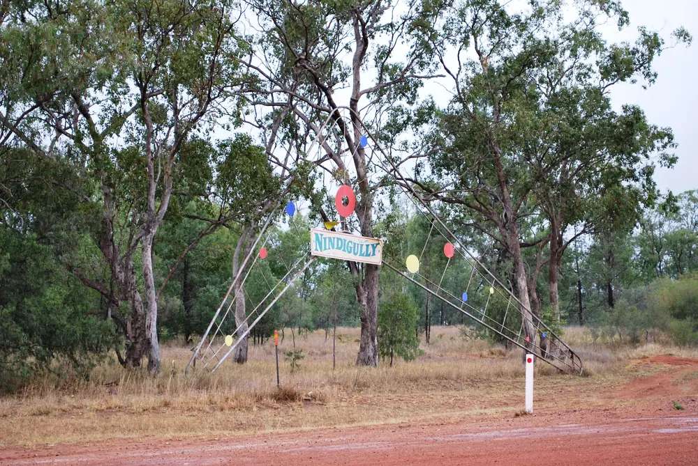
The welcome sign at NindigullyPhoto: Mattinbgn · CC BY-SA 3.0 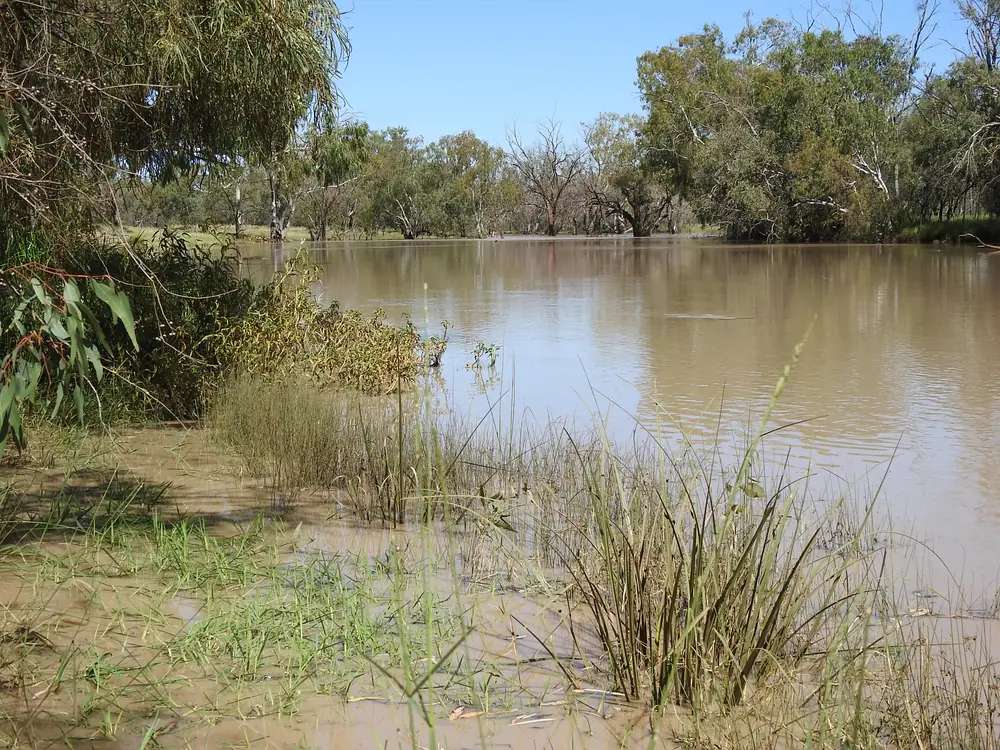
Nindigully Moonie River in floodPhoto: Q8682 · CC BY-SA 4.0 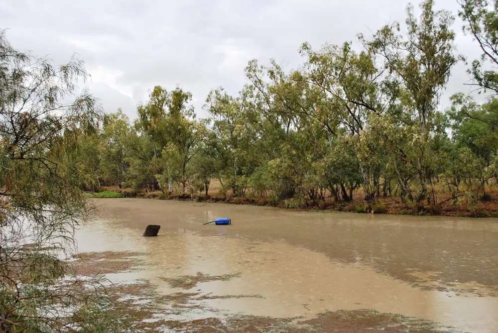
The Moonie River at NindigullyPhoto: Mattinbgn · CC BY-SA 3.0 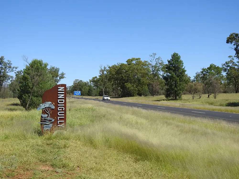
Nindigully locality signPhoto: Q8682 · CC BY-SA 4.0
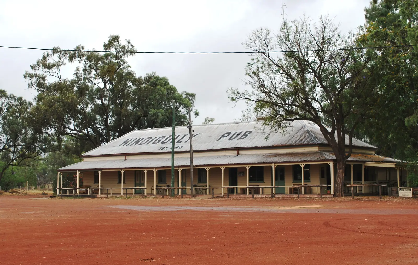
Nindigully is a locality, not a large town, on the Moonie River in Balonne Shire, in Queensland’s south-west. Explore St George Region puts it 45 km south-east of St George and names it as one of seven shire towns alongside Bollon, Dirranbandi, Hebel, Mungindi, St George and Thallon. Locals call it The Gully. The building that draws the traffic is the Nindigully Pub on Sternes Street. This hub is about the place. The pub is the main attraction inside it, not the place-name itself.
The Australian Bureau of Statistics does not publish a 2021 Urban Centre (UCL) named Nindigully. There is also no Suburbs and Localities (SAL) code for Nindigully alone. The townsite sits inside the Thallon locality. Use Thallon SAL32778: 231 people at the 2021 Census. Explore St George Region’s visitor guide gives a Nindigully figure of 9. Those two numbers are different geographies. Do not mix them.
This is still sealed-highway country on the Carnarvon / Barwon approaches the visitor guide describes. You do not need a 4WD to reach The Gully in ordinary weather. You do need QLDTraffic after rain on the Moonie, because a 45 km run to St George is no use if the highway is closed.
Where it is, and how far
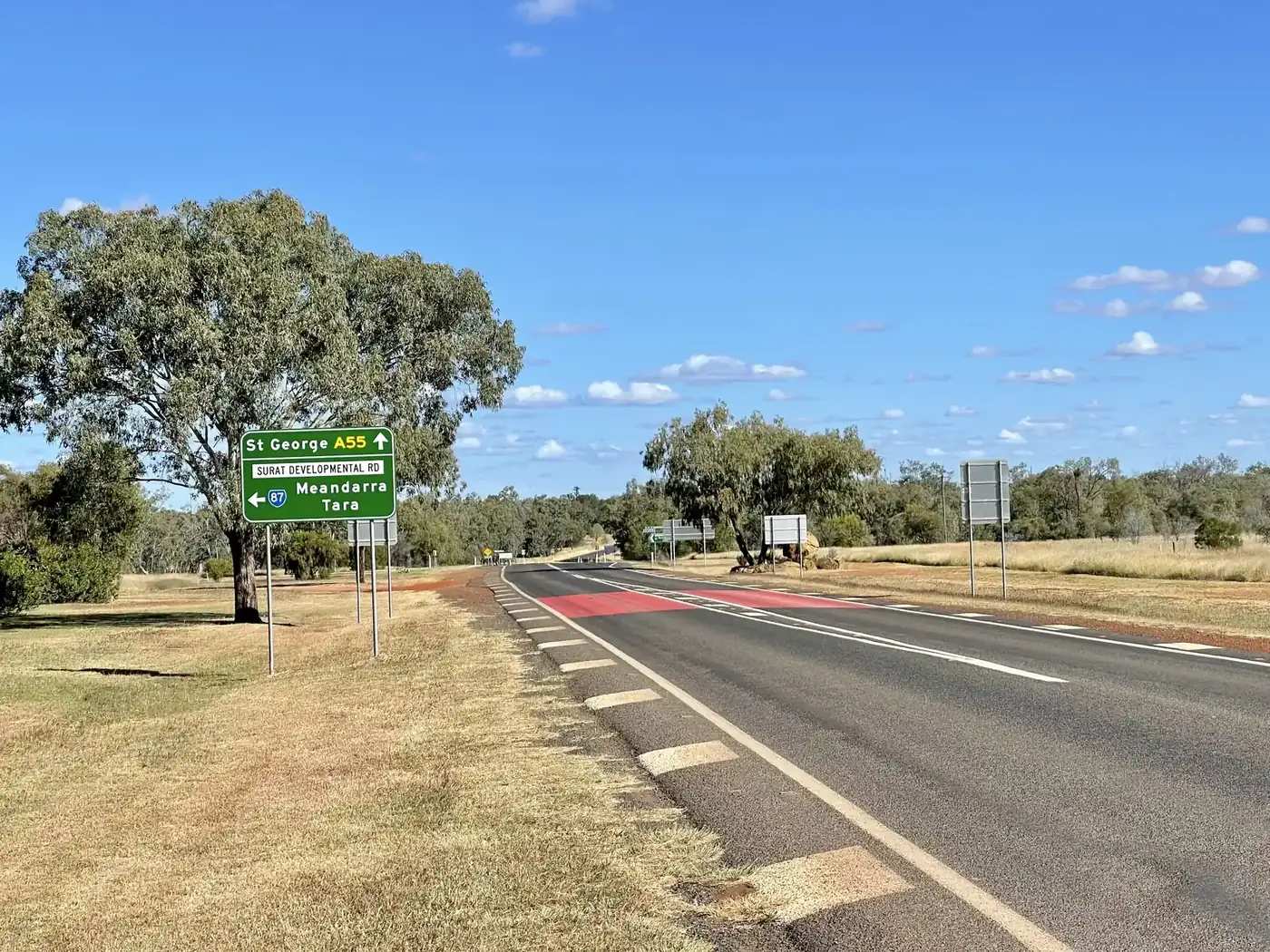
Nindigully sits south-east of St George toward Thallon and the NSW border. Explore St George Region’s visitor guide says it is located where the Carnarvon Highway meets the Barwon Highway, 45 km south-east of St George. The same guide puts Thallon 33 km south of Nindigully and 40 km north of Mungindi, on the Moonie River, in grain country. If you are driving the Great Inland Way toward St George from the south, this is the Moonie River stop before the Balonne. If you are coming from St George, it is a short sealed side trip rather than a hidden track.
| Place | Distance from Nindigully (Explore St George Region visitor guide) |
|---|---|
| St George | 45 km north-west |
| Thallon | 33 km south |
| Mungindi | 73 km south (33 km + 40 km on the same corridor) |
Hebel, Dirranbandi and Lightning Ridge are Balonne / border neighbours on the wider trip, not a 20-minute side road from The Gully. Surat is north of St George on the Carnarvon Highway.
Facts at a glance
Population. No ABS UCL and no SAL named Nindigully. The Census geography that covers the townsite is Thallon SAL32778: 231 people, median age 42, sex split 50.7% male / 49.3% female. That count includes Thallon town and the surrounding locality, not The Gully alone. Explore St George Region’s visitor guide states a Nindigully population of 9. Use the ABS Thallon QuickStats page for the official locality, and treat 9 as the tourism figure for the settlement by the pub.
Climate. BOM lists NINDIGULLY, 044194 on the Queensland rainfall-station directory (about 28.35°S, 148.82°E). BOM does not publish a monthly climate-averages table for that site. The nearest published all-years table is St George Airport, 043109, commenced 1997, elevation 199 m, January mean maximum 35.5 °C, July mean maximum 19.8 °C, July mean minimum 5.3 °C, annual mean rainfall 477.0 mm (26 years, 1997–2026). Full columns: BOM St George Airport. See Nindigully weather.
Visitor information. There is no separate Nindigully visitor centre on the sourced pages. Explore St George Region points travellers to the St George Region Visitor Information Centre, 114 St George’s Terrace, St George, phone (07) 4620 8877. Hours on the visitor-guide opening spread: Monday–Friday 8.30am–4.30pm, weekends and public holidays 9.00am–1.00pm (hours may vary out of season). A later map panel in the same PDF prints different weekday hours; call before you rely on either line. Email listed with Queensland Parks for this VIC: vic@balonne.qld.gov.au.
Traditional Owners
Explore St George Region’s visitor guide publishes a generic Acknowledgement of Country for the region and asks travellers to respect the country they walk on. It does not name a single nation for the Nindigully townsite. The same guide says the name Balonne is believed to mean water or running stream and pelican in the local Mandandanji language — that is a shire-name note, not a Nindigully plaque. This hub does not flatten neighbouring nations onto The Gully. Confirm wording with the St George visitor centre before treating a single-nation label as settled.
History
Explore St George Region’s Nindigully page and visitor guide treat the locality as a Moonie River settlement whose heyday included a hall, school, post office, telephone exchange, mechanics, store and the pub, which served as a Cobb & Co changeover between the late nineteenth century and early twentieth century. The guide says the name Nindigully is a combination of an Indigenous word nindi, meaning small, and the English word gully.
The Nindigully Pub is the surviving public building. The visitor guide calls it Queensland’s oldest continually licensed pub, standing on the Moonie River since 1864, and lists earlier names: Nindigually Hotel, The Grand Hotel, Travellers Rest Hotel, Sportsmans Arms Hotel and Sternes Hotel. Balonne Shire’s pub-trail brochure (the same region’s self-drive PDF) traces the licence from Thomas Bradford’s 1863 application onward. This hub stops where those official PDFs stop. It does not invent a gazettal date for the locality beyond that.
The visitor guide also records that the pub appeared in Hugh Jackman’s film Paperback Hero, and that boomerangs from the film’s Boomerang Café remain in town, painted in strong colours.
Things to do
Nindigully the place is a river crossing, a short walk and a pub precinct. Do not plan a three-attraction scavenger hunt.
The Gully Walk. The visitor guide names an interpretive walk with signs on local history and wildlife. That is the locality’s own outdoor exhibit, separate from sitting on the pub verandah.
Moonie River. The same guide names fishing from the river. Queensland fisheries rules still apply; this facts set does not list species or a closed season for Nindigully specifically. Check Fisheries Queensland, the same way you would at St George on the Balonne.
Nindigully Pub, Sternes Street. Official tourism names it as Queensland’s oldest continually licensed pub, with meals, rooms and the annual pig races. It is the reason most people detour. It is still a business inside a locality, not the locality’s legal name.
Paperback Hero boomerangs. Named in the visitor guide as a town photograph stop.
Nindigully Pig Races. Explore St George Region lists the annual event at the pub, with live music, auctions and camping, supporting the Royal Flying Doctor Service. Confirm dates. See things to do in Nindigully.
There is no national park inside Nindigully. Culgoa Floodplain National Park is a Hebel / Dirranbandi story, not a Gully afternoon.
Where to stay
Explore St George Region describes three stay types at The Gully: historic pub rooms, a swag on the verandah, and camping on the banks of the Moonie River at the Nindigully Tourist and Visitor Area. It does not publish a motel strip. Named operators beyond the pub are not invented here. Confirm at (07) 4620 8877.
- How to choose a type of stay: Nindigully accommodation
- Camping and van sites: Nindigully caravan parks
- Operator enquiries for this site: feature your business
If The Gully is full — pig-race weekend is the obvious case — St George is 45 km north-west and has more rooms. Thallon, 33 km south, is named in the same guide for McGeever Recreational Grounds camping. Those are distance facts, not booking guarantees.
Caravan and camping
The region’s free-camp map names Nindigully Tourist and Visitor Area, roughly 45 km south of St George: free camping by the Moonie River, no powered sites on that map line, toilets and showers at the pub for a small donation. The visitor-guide camping spread adds tables and the Gully Walk. Ask the St George VIC whether overnight camping is still allowed on the grass you can see. Read Nindigully caravan parks and outback camping.
After rain, the Moonie is the constraint. QLDTraffic first.
Fuel and services
A settlement the visitor guide numbers at 9 people will not match St George for fuel, groceries or mechanical help. This guide does not list bowser brands. Fill up in St George. The Francis Hotel in Thallon is described in the same guide as having a general store — that is Thallon, 33 km south, not a Nindigully supermarket. For current local-service questions, use the St George Region visitor centre and Balonne Shire Council.
Mobile coverage: the visitor guide says Telstra and Optus in St George, and Telstra Next G only within a small radius of surrounding towns. Do not assume coverage on the riverbank.
Road access
Sealed highways on the visitor guide’s regional map meet this corridor:
- Carnarvon Highway / Great Inland Way toward St George and, further north, Surat and Roma.
- Barwon Highway toward the border towns the guide maps at Mungindi.
These are freight roads. Expect road trains and, after storms, water over the Moonie. Check QLDTraffic and 13 19 40. Balonne also points to emergency.balonne.qld.gov.au. Do not drive around closed signs to keep a camping spot by the pub.
Nearby parks and towns
Sites named in Explore St George Region material:
- Nindigully Tourist and Visitor Area / Moonie River camping
- The Gully Walk
- Paperback Hero boomerangs
- Nindigully Pub (the building, not the place-name)
Towns on this site:
- St George — 45 km; Balonne River, four-highway crossroads
- Surat — Cobb & Co Changing Station, north of St George on the Carnarvon Highway
- Hebel — border town toward Lightning Ridge, not on the Moonie
- Lightning Ridge — NSW opal fields, a longer drive via Hebel or Mungindi
- Thallon — silo art, 33 km on Adventure Way Loop
- Dirranbandi — cotton town on the Castlereagh
- Bollon — Wallam Creek, Adventure Way
Mungindi is the Barwon River NSW/Queensland border town.
When to go, and how long
St George Airport’s January mean maximum of 35.5 °C is hot for a river picnic at midday. July’s 19.8 °C mean maximum is the comfortable walking season; July’s 5.3 °C mean minimum is why a river camp needs a layer. Annual rainfall 477.0 mm still includes flood years. Two hours at the pub and the Gully Walk is the minimum. A night lets you use the river camp if the VIC has confirmed it is open. Pig-race weekend is a different trip: book St George as overflow and confirm dates.
Operators who want a checked listing: feature your business. The listings slot on this hub stays empty until then.
Plan this trip
Tell us the dates, who you are travelling with and where you need help. We reply with planning notes for Nindigully — we are not a booking agent.
Events and road-conditions newsletter
Occasional notes on outback festivals, race days and official road-condition sources — not a daily blast. We use these details only to send the newsletter.
Queensland · South West
Nindigully accommodation
Where to stay in Nindigully: pub rooms, verandah swags and Moonie River camping as named by Explore St George Region. Confirm at the St George visitor centre.
Read · 3 min
Queensland · South West
Nindigully caravan parks
Camping in Nindigully: Nindigully Tourist and Visitor Area on the Moonie River as named by Explore St George Region. No invented park names. Confirm at the St George VIC.
Read · 3 min
Queensland · South West
Nindigully weather
Nindigully climate: BOM station 044194 has no monthly averages table. Use St George Airport (043109), 45 km away: January mean max 35.5 °C, July 19.8 °C, 477.0 mm rain.
Read · 4 min
Queensland · South West
Things to do in Nindigully
Things to do in Nindigully the place: Gully Walk, Moonie River, Paperback Hero boomerangs, and the Nindigully Pub as the locality’s named hotel — not the town itself.
Read · 4 min
Frequently asked questions
Is Nindigully the same thing as the Nindigully Pub?
No. Nindigully is the locality on the Moonie River. Explore St George Region describes it as a small settlement locally called The Gully. The Nindigully Pub is the historic hotel on Sternes Street that most visitors come to see.
How far is Nindigully from St George and Thallon?
Explore St George Region puts Nindigully 45 km south-east of St George. The same visitor guide puts Thallon 33 km south of Nindigully on the Moonie River corridor.
What is Nindigully’s population?
The ABS 2021 Census has no Urban Centre (UCL) named Nindigully. The locality sits inside Thallon SAL32778, which counted 231 people. Explore St George Region’s visitor guide gives a Nindigully population of 9.
Can I camp at Nindigully?
Yes, as a type. Explore St George Region names a Nindigully Tourist and Visitor Area on the Moonie River near the pub, with toilets, showers and tables. The region’s free-camp map lists free camping on the riverbank. Confirm current rules at the St George visitor centre.
When are the Nindigully pig races?
Explore St George Region lists Nindigully Pig Races as an annual event at the Nindigully Pub, supporting the Royal Flying Doctor Service. Dates move. Confirm with the St George Region visitor centre rather than a printed calendar.
What is the weather like in Nindigully?
BOM lists a Nindigully rainfall station (044194) but does not publish a monthly climate-averages table for it. Use St George Airport (043109), 45 km north-west: January mean maximum 35.5 °C, July 19.8 °C, annual mean rainfall 477.0 mm.
Sources and further reading
Facts on this page were checked against these primary and official sources. Conditions change — confirm before you travel or buy.
- Thallon 2021 Census QuickStats (SAL32778) — Australian Bureau of Statistics
- Climate statistics for St George Airport (043109) — Bureau of Meteorology
- Explore St George Region — Nindigully — Balonne Shire Council
- Explore St George Region — Our Towns — Balonne Shire Council
- Explore St George Region visitor guide (PDF) — Balonne Shire Council
- Nindigully Pig Races — Balonne Shire Council
- QLDTraffic — Queensland Government