At a glance
Sourced facts only. Distances and services change — confirm before you travel.
- Population
- 348 people (UCL122093, 2021 Census)
- Local government
- Moree Plains Shire (NSW); Balonne Shire on the Queensland bank
- Traditional Owners
- Gamilaroi people (Tourism Moree for the Moree Plains; also spelled Gamilaraay / Gomeroi)Confirm wording at 67 Alice Street, Moree. This hub does not invent a separate Barwon-bank nation sentence.
- Nearest regional city
- Moree, 120 km (Visit Moree Plains); 118 km on Balonne’s Mungindi map pad. St George 118 km (St George Region 2026 map).
- Nearest fuel
- Confirm bowsers in Mungindi; this guide does not name a brand. Fill when you can — Moree and St George are the next large service towns on the sourced distances.
- Nearest hospital or clinic
- The Mungindi map pad lists a hospital among town services. Confirm the service name with NSW Health — this hub does not invent a hospital title.
- Mobile coverage
- Check Telstra and Optus coverage maps before travel; do not assume a signal on Barwon floodplain roads. Two time zones apply in NSW daylight saving (Explore St George Region).
- Best time to visit
- May–September (cooler BOM Mungindi Post Office mean maxima). Winter is when Explore St George Region’s two-time-zone warning does not apply.
Climate
Monthly means from the Bureau of Meteorology station Mungindi Post Office (052020). This is not a forecast. Open. Commenced 1887. Elevation 160 m. Temperature maxima 101 years (1915–2026); rainfall 139 years (1887–2026).
| Month | Mean max (°C) | Mean min (°C) | Rainfall (mm) |
|---|---|---|---|
| Jan | 35.7 | 20.8 | 70.3 |
| Feb | 34.3 | 20.3 | 62.4 |
| Mar | 32.0 | 17.8 | 52.4 |
| Apr | 27.8 | 12.9 | 30.3 |
| May | 23.3 | 8.8 | 34.4 |
| Jun | 19.5 | 5.8 | 32.9 |
| Jul | 19.1 | 4.8 | 32.1 |
| Aug | 21.3 | 6.0 | 25.5 |
| Sep | 25.3 | 9.4 | 27.6 |
| Oct | 29.2 | 13.5 | 39.1 |
| Nov | 32.3 | 16.8 | 47.2 |
| Dec | 34.7 | 19.1 | 51.6 |
Mungindi in pictures
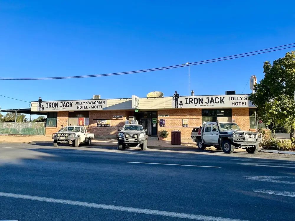
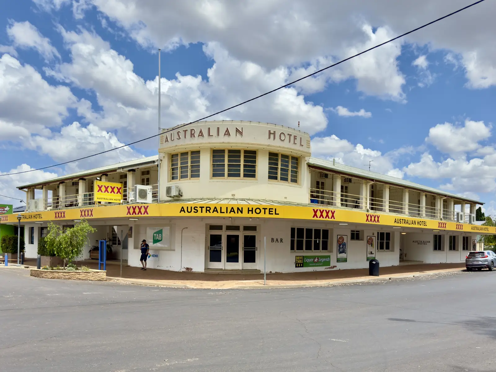
Jolly Swagman Hotel Motel, Carnarvon Highway, Mungindi, NSW, 2021Photo: Kgbo · CC BY-SA 4.0 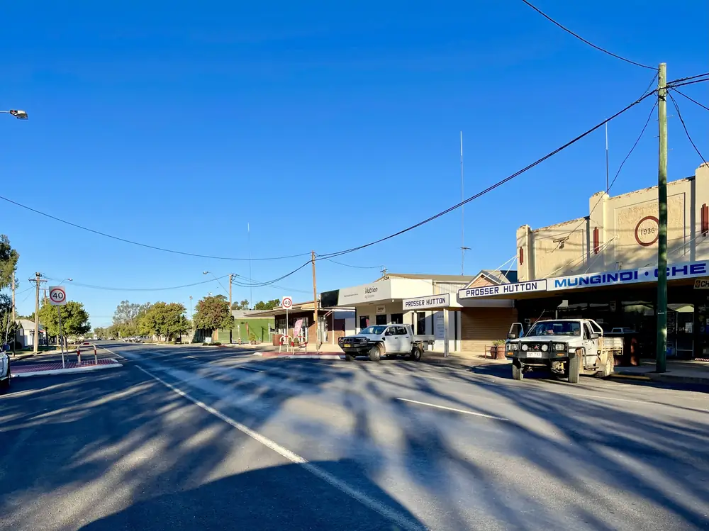
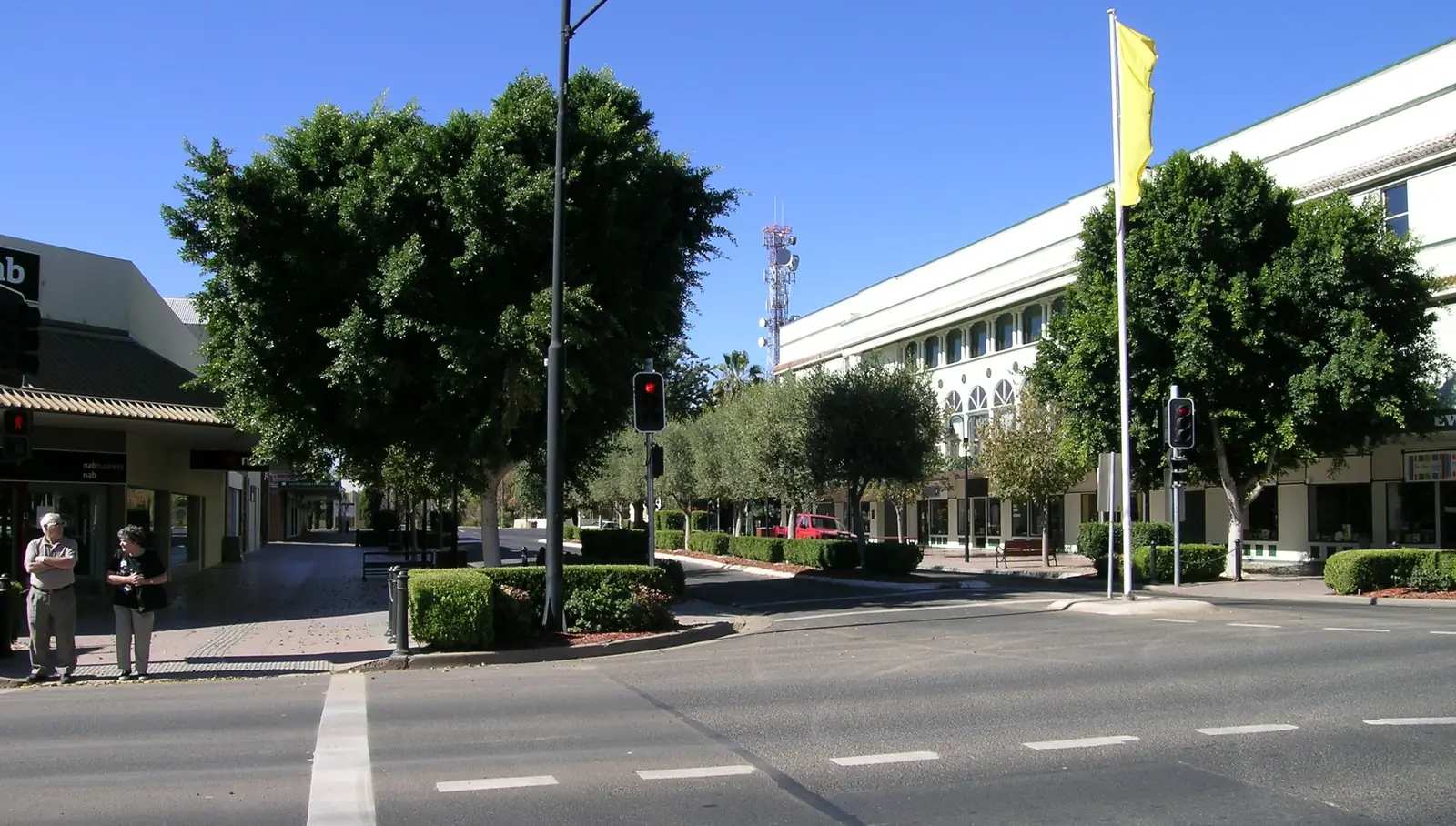
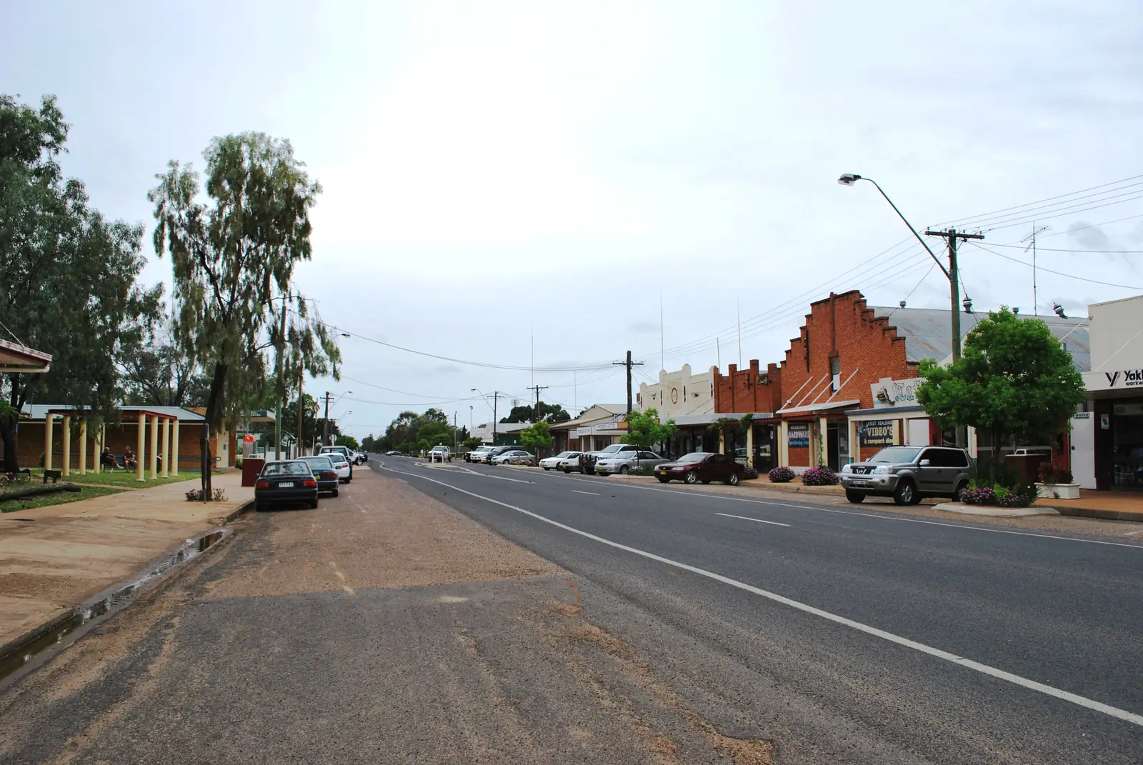
Carnarvon Highway, St George Street, Mungindi, NSW, 2021Photo: Kgbo · CC BY-SA 4.0 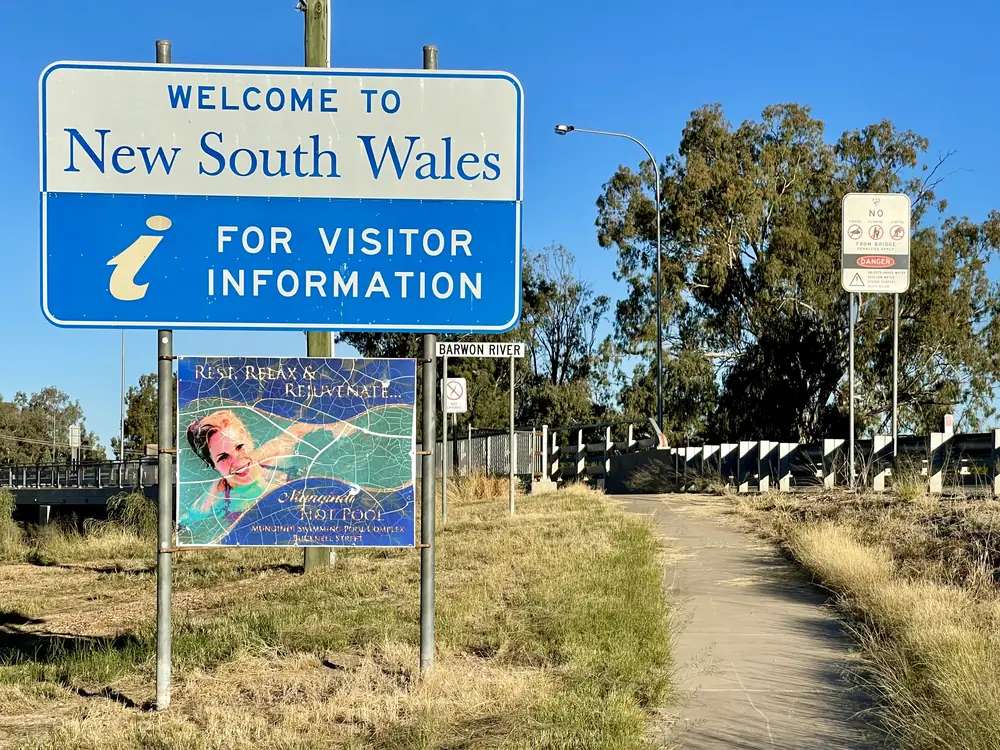
New South Wales-Queensland border sign in Mungindi, 2021Photo: Kgbo · CC BY-SA 4.0 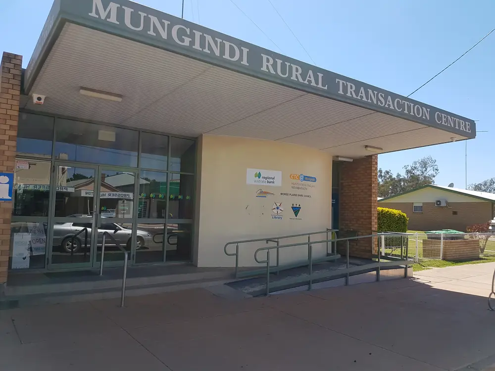
Mungindi Library, NSW 24 September 2018Photo: State Library of NSW Public Library Services · CC BY-SA 2.0
Mungindi is a New South Wales–Queensland border town on the Barwon River and the Carnarvon Highway. Visit Moree Plains calls it a unique border town straddling Queensland and NSW, 120 km from Moree. Explore St George Region says either side of the river marks the border, with a police station on each side, and that the town runs on two time zones in the warmer months because of eastern daylight saving. This hub is the NSW Moree Plains town on that pair. It is not a second Australian Mungindi, and it is not Hebel (the Castlereagh Highway border village near Lightning Ridge).
Use the NSW Census for this page. The 2021 urban centre Mungindi (L), UCL122093, counted 348 people, median age 46, sex split 45.0% male / 55.0% female. Suburbs-and-localities Mungindi (NSW), SAL12854, counted 487. Queensland Mungindi (Qld), SAL32074, counted 124. Do not add those codes together and call it one town figure unless you label every geography. Read the ABS UCL QuickStats.
The Carnarvon Highway is sealed through town in ordinary weather. Once you leave the Barwon, Live Traffic NSW covers the Moree Plains side and QLDTraffic covers the run toward St George. Visit Moree Plains’ 120 km Moree figure assumes both states have the highway open.
Where it is, and how far
Mungindi sits on the Carnarvon Highway / Great Inland Way corridor that links St George with Moree across the Barwon. Explore St George Region names it as one of seven shire towns with St George, Bollon, Dirranbandi, Hebel, Nindigully and Thallon — the Queensland listing for a town that also lives in Moree Plains Shire. This hub does not invent a Collarenebri kilometre; the Mungindi map pad names the Collarenebri road without a figure in the extract used here.
| Place | Distance from Mungindi (sourced) |
|---|---|
| Moree | 120 km (Visit Moree Plains); 118 km on Balonne’s Mungindi map pad |
| St George | 118 km (St George Region 2026 map); 117 km on the Mungindi map pad |
| Goondiwindi | 154 km (Mungindi map pad) |
| Boomi | 70 km (Mungindi map pad) |
| Talwood | 79 km (Mungindi map pad) |
| Thallon | 40 km north of Mungindi on Explore St George Region’s visitor guide (Nindigully then 33 km further) |
Lightning Ridge is the opal neighbour via Hebel or via Moree, not a Mungindi suburb.
Facts at a glance
Population. ABS 2021 Census, Urban Centres and Localities UCL122093: 348 people. Median age 46. Families 83. Private dwellings 262. Use the UCL for the town. SAL12854 (NSW locality) is 487. SAL32074 (Qld locality) is 124.
Climate. Bureau of Meteorology station MUNGINDI POST OFFICE, 052020. Location 28.98°S, 148.99°E, elevation 160 m. Commenced 1887. Status: open. Mean maximum (101 years, 1915–2026): January 35.7 °C, July 19.1 °C, annual 27.9 °C. Mean minimum: January 20.8 °C, July 4.8 °C, annual 13.0 °C. Mean rainfall (139 years, 1887–2026): annual 505.9 mm. Full columns: BOM Mungindi Post Office. See Mungindi weather.
Visitor information. No Mungindi VIC on the sourced pages. Moree Visitor Information Centre, 67 Alice Street, weekdays 9am–5pm, weekends and public holidays 9am–1pm, (02) 6757 3350, info@moreetourism.com.au. St George Region VIC (07) 4620 8877. Explore St George Region also names the Mungindi Rural Transaction Centre for local tips on Moree Plains Shire.
Traditional Owners
Tourism Moree states that the Moree Plains lie on the traditional lands of the Gamilaroi people (also spelled Gamilaraay / Gomeroi; Tourism Moree uses Gamilaroi or Gomeroi for the people and Gamilaraay for the language). Mungindi is a Moree Plains Shire town on that visitor account. This hub does not invent a separate nation sentence for the Barwon banks that was not on the pages fetched. Confirm wording at 67 Alice Street. Read visiting Country respectfully.
History
Explore St George Region’s visitor guide: very few towns are split in half by a state border; Mungindi straddles the Barwon, with a police station on each side, and two time zones during daylight saving. The same guide and the One Ton Post listing name surveyor JB Cameron and the original survey peg on the west bank of the Barwon. Cameron placed it in October 1881 to mark the end of the survey of the 29th parallel from Cameron Corner to the Barwon, after first surveying from Barringun to the Corner. Explore St George Region notes it is the original peg, whereas Cameron Corner has had to replace theirs with a cement marker.
Visit Moree Plains names a Mungindi History Park and a border marker as the photo stop for travellers wanting to be in two places at once. The St George visitor guide adds a Mungindi Rural Transaction Centre for people continuing south into Moree Plains.
This hub does not invent a gazettal year that was not on those visitor pages.
Things to do
Mungindi Border Marker — Visit Moree Plains and Explore St George Region; 219 St George Street on the Queensland listing.
One Ton Post — west bank of the Barwon, Queensland side of the listing; October 1881, JB Cameron.
Mungindi Hot Artesian Pool — Bucknell Street, NSW; Explore St George Region: mineral-rich water, hours vary between summer and winter, (02) 6753 2347. Visit Moree Plains noted a closure 7–28 September 2026 on the destination page fetched for this research — confirm current hours. This is a public pool, not Moree’s artesian aquatic centre. See the Great Artesian Basin if you are on the spa story.
Barwon River Park / Barwon River Camp — Visit Moree Plains and the St George visitor guide: picnic, fishing for yellowbelly and Murray cod, toilets and showers at the camp area on the north bank, 118 km south-east of St George on that camping list.
Mungindi History Park, Sculpture Trail, Pump Track, Golf Course — named on Visit Moree Plains. Explore St George Region: the sculpture trail is an open-air gallery crossing the border, ten sculptures by local artist Tony ‘Nicko’ McMillan, donated after he passed away in 2016.
Mungindi Races — Visit Moree Plains: timed with school holidays. St George visitor guide calendar also names Mungindi Show in August. Confirm dates locally.
Main street and pub hop — St George visitor guide: Two Mile Hotel (original lacquered mahogany bar with charred shrapnel) and Jolly Swagman beer garden. Visit Moree Plains: Jolly Swagman Hotel Motel, 218 St George Street.
Where to stay
Official named stay types:
- Jolly Swagman Hotel Motel — 218 St George Street, Visit Moree Plains; St George visitor guide also names it among pubs to stay
- Two Mile Hotel — named as a stay option on the St George visitor guide
- Mungindi Caravan Park — St George Street, Visit Moree Plains: powered and unpowered sites, 0409 484 014
- Barwon River Camp Area — north bank, toilets, showers, potable water on the St George camping list
Those are official named types, not a ranked inventory. Confirm at (02) 6757 3350.
- How to choose: Mungindi accommodation
- Camping detail: Mungindi caravan parks
- Operator enquiries: feature your business
If Mungindi is full, Moree is 120 km south-east on Visit Moree Plains and has the artesian centre and more rooms. St George is 118 km north on the 2026 shire map.
Caravan and camping
Vans use Mungindi as a Carnarvon Highway overnight between St George and Moree. Official named camps are the town caravan park and the Barwon River Camp Area. Ask the Moree or St George VIC for stay limits and dump points. The Mungindi map pad used here names a dump point among town services. Read Mungindi caravan parks. After rain, the constraint is the Barwon. Live Traffic NSW and QLDTraffic first.
Fuel and services
The Mungindi map pad lists hospital, general store, swimming pool, golf course, coffee, dump point, ATM, tyre mechanic and information among town services. This guide does not list bowser brands or 24-hour claims. Fill when you can; Moree and St George are the next large service towns on the sourced distances. Carry water. January’s mean maximum at Mungindi Post Office is 35.7 °C.
Two police stations, two time zones in daylight saving: that is a border-town fact from Explore St George Region, not a joke about opening hours. Confirm which clock the pool and the pub are using.
Road access
The Carnarvon Highway is the sealed spine. It is a freight road on the Great Inland Way. After rain on the Barwon, check Live Traffic NSW south toward Moree and QLDTraffic north toward St George. Do not drive around closed signs to keep a pool booking.
South-east: Moree, then the Newell. North: Thallon, Nindigully, St George. West toward Hebel and Lightning Ridge is a different border road. Collarenebri is named on the local map pad without a kilometre in the extract used here.
Nearby parks and towns
There is no national park inside Mungindi on the visitor pages used here. Culgoa Floodplain is a Hebel story on this site, not a Mungindi suburb.
Towns on this site:
- Moree — 120 km; artesian aquatic centre
- St George — 118 km; Balonne hub
- Hebel — Castlereagh Highway border village
- Lightning Ridge — opal, longer drive
- Nindigully — Moonie River pub stop on the same shire list
Thallon, Dirranbandi and Collarenebri appear in the same official maps.
When to go, and how long
January’s mean maximum of 35.7 °C is hot for a sculpture-trail walk at midday. July’s 19.1 °C mean maximum is the comfortable walking season; July’s 4.8 °C mean minimum is why a river camp needs a layer. Annual rainfall 505.9 mm is wetter than the Darling villages in this wave. See Mungindi weather.
One night covers the border marker, One Ton Post, pool if open, and a pub. Two nights if you want the sculpture trail, history park and a river camp. School-holiday races need a booking. Two full tourist days on St George Street is more than the sourced main-street list supports unless you are using Mungindi as a rest day on the Great Inland Way.
Operators who want a checked listing: feature your business. The listings slot stays empty until then.
Plan this trip
Tell us the dates, who you are travelling with and where you need help. We reply with planning notes for Mungindi — we are not a booking agent.
Events and road-conditions newsletter
Occasional notes on outback festivals, race days and official road-condition sources — not a daily blast. We use these details only to send the newsletter.
New South Wales · New England North West
Mungindi accommodation
Where to stay in Mungindi: Jolly Swagman Hotel Motel and caravan park named by Visit Moree Plains, plus Two Mile Hotel on the St George visitor guide. Confirm at Moree VIC.
Read · 4 min
New South Wales · New England North West
Mungindi caravan parks
Camping in Mungindi: town caravan park named by Visit Moree Plains and Barwon River Camp Area on the St George visitor guide. Confirm at the VIC.
Read · 3 min
New South Wales · New England North West
Mungindi weather
Mungindi climate from BOM Mungindi Post Office (052020): January mean max 35.7 °C, July 19.1 °C, annual rainfall 505.9 mm. Open station; use Live Traffic NSW and QLDTraffic.
Read · 4 min
New South Wales · New England North West
Things to do in Mungindi
Things to do in Mungindi: One Ton Post, border marker, hot artesian pool, sculpture trail, History Park and Barwon River on the NSW/Qld line.
Read · 4 min
Frequently asked questions
Is Mungindi in NSW or Queensland?
Both. Visit Moree Plains calls it a unique border town straddling Queensland and NSW. Explore St George Region says either side of the Barwon River marks the border, with a police station on each side, and two time zones in the warmer months because of NSW daylight saving. This hub is the NSW Moree Plains town on that pair.
What is Mungindi’s population?
Use the NSW figures for this hub. ABS 2021 urban centre Mungindi (L) UCL122093 counted 348 people, median age 46. Suburbs-and-localities Mungindi (NSW) SAL12854 counted 487. Queensland SAL32074 counted 124 for Mungindi (Qld). Do not add the geographies into a fake total unless you label each code.
How far is Mungindi from Moree and St George?
Visit Moree Plains puts Mungindi 120 km from Moree. The St George Region 2026 map puts Mungindi 118 km from St George. Balonne Shire’s Mungindi map pad used here prints 118 km to Moree and 117 km to St George.
What is the One Ton Post?
Explore St George Region says surveyor JB Cameron placed the original survey peg on the west bank of the Barwon near Mungindi in October 1881 to mark the end of the survey of the 29th parallel from Cameron Corner.
What is the weather like in Mungindi?
BOM Mungindi Post Office (052020, open): January mean maximum 35.7 °C, July 19.1 °C, annual rainfall 505.9 mm (139 years, 1887–2026).
Where is the visitor centre?
There is no Mungindi VIC on the sourced pages. Use Moree Visitor Information Centre, 67 Alice Street, (02) 6757 3350, or St George Region VIC (07) 4620 8877. Explore St George Region also names the Mungindi Rural Transaction Centre.
Sources and further reading
Facts on this page were checked against these primary and official sources. Conditions change — confirm before you travel or buy.
- Mungindi (L) 2021 Census QuickStats (UCL122093) — Australian Bureau of Statistics
- Mungindi (NSW) 2021 Census QuickStats (SAL12854) — Australian Bureau of Statistics
- Mungindi (Qld) 2021 Census QuickStats (SAL32074) — Australian Bureau of Statistics
- Climate statistics for Mungindi Post Office (052020) — Bureau of Meteorology
- Visit Moree Plains — Mungindi — Moree Plains Shire / Tourism Moree
- Explore St George Region — Mungindi — Balonne Shire Council
- One Ton Post — Balonne Shire Council
- Mungindi Hot Artesian Pool — Balonne Shire Council
- Jolly Swagman Hotel Motel — Moree Plains Shire / Tourism Moree
- Mungindi Caravan Park — Moree Plains Shire / Tourism Moree
- Live Traffic NSW — Transport for NSW
- QLDTraffic — Queensland Government