At a glance
Sourced facts only. Distances and services change — confirm before you travel.
- Local government
- Shire of Wiluna
- Traditional Owners
- Martu, on Australia’s Golden Outback wording that Wiluna is chiefly a Martu Indigenous communityConfirm current wording at Tjukurba Art Gallery, 28 Scotia Street, and the shire office. A Canning or Gunbarrel permit is not a pass into residential streets.
- Nearest regional city
- Meekatharra, 180 km west (Main Roads WA Goldfields Highway / Wiluna–Meekatharra Road).
- Capital
- 966 km northeast of Perth (Australia’s Golden Outback Wiluna Shire Office listing).
- Nearest fuel
- Golden Outback’s shire-office listing names fuel. Fill here before the Canning or Gunbarrel. This hub does not list bowser brands, hours or prices.
- Nearest hospital or clinic
- Golden Outback’s shire-office listing names a hospital among town services. Confirm current status with the shire; a Wiluna hospital is not listed on the WACHS Goldfields or Midwest hospitals pages used here.
- Mobile coverage
- Check Telstra and Optus coverage maps before travel; do not assume a signal off the highway.
- Best time to visit
- Cooler BOM Wiluna mean maxima May–August (July 19.5 °C on the closed 013012 table). Permit and unsealed Goldfields Highway packages override the calendar toward Meekatharra.
Climate
Monthly means from the Bureau of Meteorology station Wiluna (013012). This is not a forecast. Closed 12 December 2019. Temperature 113–114 years (1901–2019); rainfall 120 years (1898–2019). Latest available data 4 December 2019. Do not treat this as a live 2026 AWS.
| Month | Mean max (°C) | Mean min (°C) | Rainfall (mm) |
|---|---|---|---|
| Jan | 37.9 | 22.9 | 37.2 |
| Feb | 36.6 | 22.2 | 38.7 |
| Mar | 34.0 | 19.6 | 37.0 |
| Apr | 29.3 | 15.1 | 28.6 |
| May | 23.8 | 10.0 | 25.1 |
| Jun | 19.9 | 6.7 | 23.6 |
| Jul | 19.5 | 5.4 | 14.7 |
| Aug | 21.9 | 6.8 | 9.9 |
| Sep | 26.3 | 10.0 | 5.0 |
| Oct | 30.4 | 13.9 | 7.3 |
| Nov | 34.0 | 17.9 | 12.1 |
| Dec | 36.8 | 21.1 | 22.1 |
Wiluna in pictures
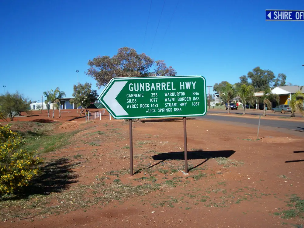
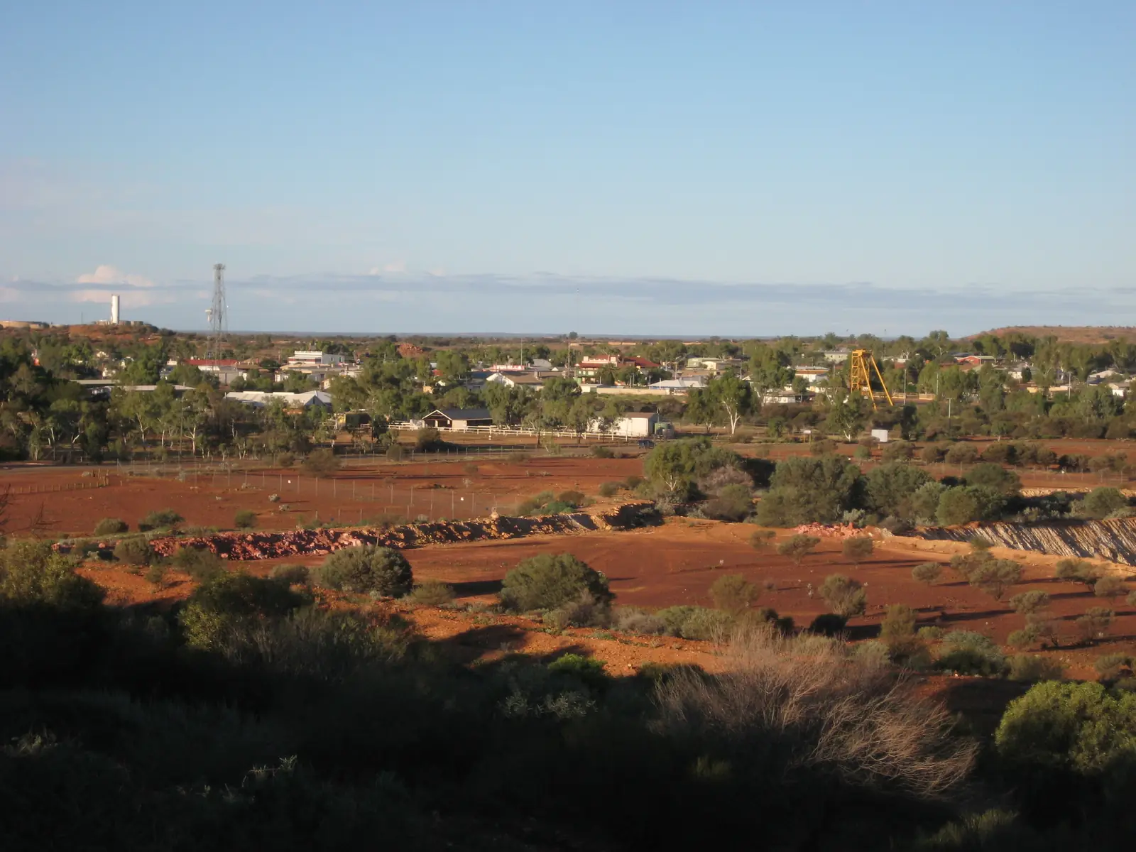
Wiluna sign 25 Jun 2007Photo: User:Gazjo · Public domain 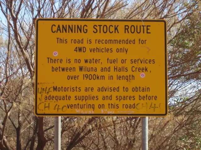
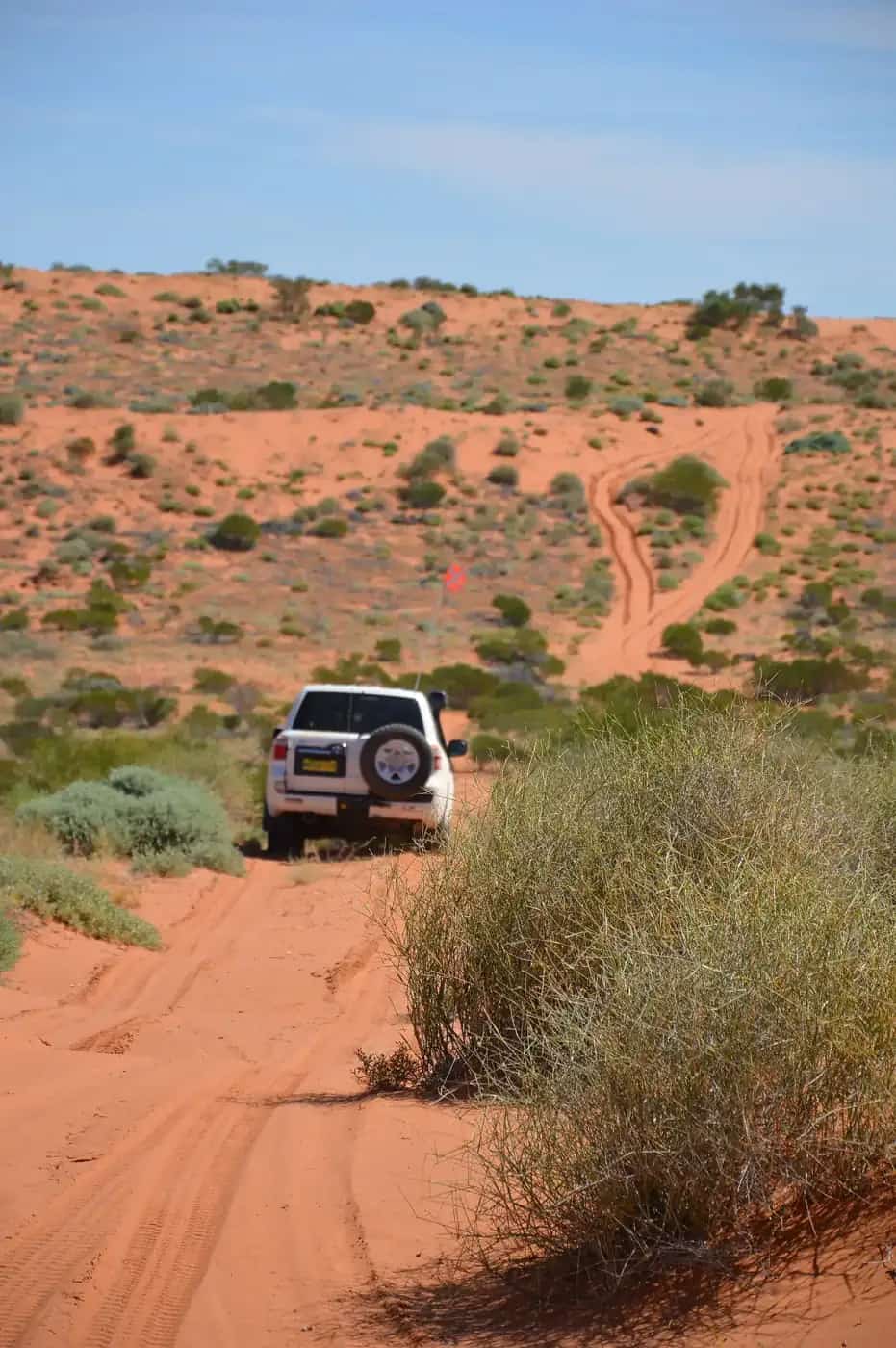
Canning Stock RoutePhoto: Calistemon (talk) · CC BY-SA 3.0 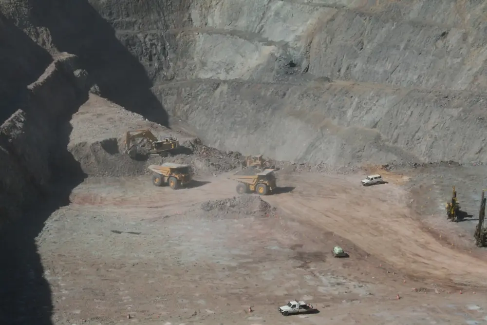
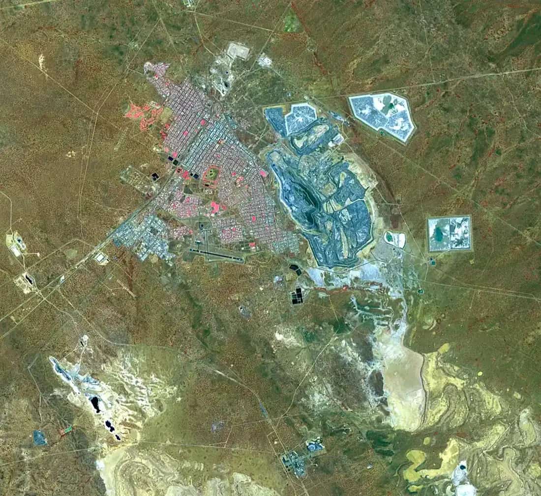
Wiluna East PitPhoto: Calistemon (talk) · CC BY-SA 3.0 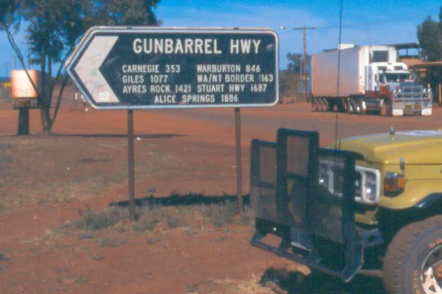
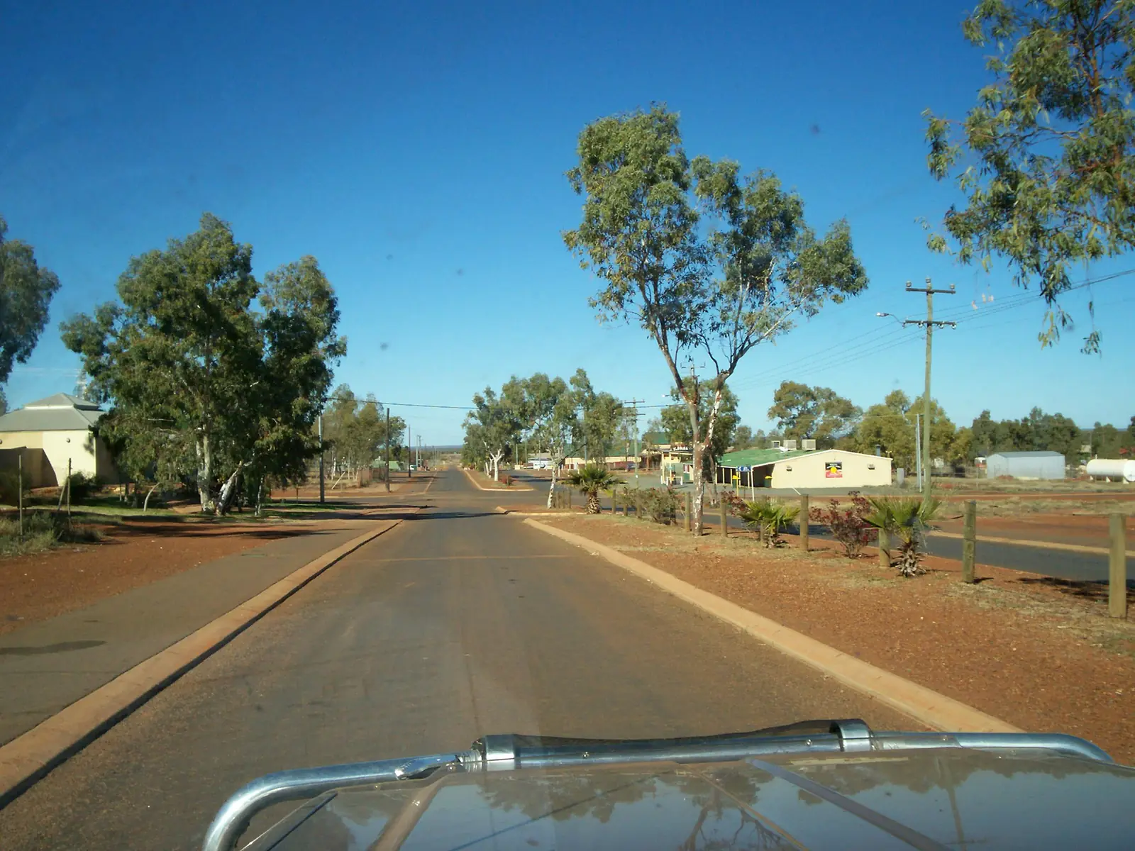
Gunbarrel Highway Wiluna Sign largePhoto: TalShiar at Dutch Wikipedia · Public domain
Wiluna sits on the Goldfields Highway at the edge of the Little Sandy Desert, inside the Golden Outback hub. Australia’s Golden Outback places it east of Meekatharra on an unsealed road and north of Leinster on a sealed road, and calls it the gateway to two 4WD journeys: the Canning Stock Route north toward Halls Creek, and the Gunbarrel Highway east. The inventory row that once bundled “meekatharra and wiluna” is split here: Meekatharra is the Great Northern Highway Murchison hub; Wiluna is the desert-edge shire town.
Australia’s Golden Outback describes Wiluna today as chiefly a Martu Indigenous community. That is tourism-board language for whose town this is. It is not a permit to walk into houses. Use the shire-named visitor places. Do not invent access into community living areas.
The sealed Outback Way / Great Central Road start used on this site is Laverton, not Wiluna. Wiluna’s eastbound 4WD story is the Gunbarrel, which Ngaanyatjarra Council lists among roads with automatic transit-permit approval. Treat those as different corridors.
Where it is, and how far
Golden Outback’s Wiluna Shire Office listing puts the town 966 km northeast of Perth. Main Roads WA puts the Wiluna–Meekatharra Road (Goldfields Highway) at 180 km, and the upgrade page used here recorded 113 km of unsealed pavement, with sealing packages under construction. Check the travel map on the day. The Goldfields Highway as a whole is 788 km, connecting Great Northern Highway at Meekatharra with Coolgardie-Esperance Highway south of Kalgoorlie-Boulder.
| Place | Distance from Wiluna (sourced) |
|---|---|
| Perth | 966 km northeast (Golden Outback Wiluna Shire Office listing) |
| Meekatharra | 180 km (Main Roads WA Goldfields Highway project page) |
| Red Hill Lookout | 1200 m south of town (Golden Outback) |
| North Pool | 15 km out of town (Shire of Wiluna tourism page) |
| Rosslyn Hill Mine | 32 km west on the Goldfields Highway (shire accommodation page) |
| Carnegie Station | 342 km east (shire accommodation); Golden Outback uses 353 km east on the Gunbarrel Highway |
| Canning Stock Route (route length, not a highway drive) | more than 1,800 km on the shire tourism page; 1,500 km of desert in the shire’s Canning history note; 1,850 km on Golden Outback’s Discovery Centre listing |
Leinster is named on Golden Outback as the sealed-road neighbour to the south.
Facts at a glance
Population. Australian Bureau of Statistics 2021 Census, Urban Centres and Localities UCL522067 Wiluna (L): 240 people. Median age 38. Sex split 59.4% male / 40.6% female. Aboriginal and/or Torres Strait Islander people 84 (35.0%). Indigenous status not stated 45 (18.8%). 37 families, 150 private dwellings. Suburbs and localities SAL51618: 521. Local government area LGA59250: 535. The SAL and LGA figures are larger than the town UCL — do not treat a mine-camp geography as the town street. Use UCL for the town. Read ABS QuickStats for Wiluna (L).
Climate. Bureau of Meteorology WILUNA, 013012, commenced 1898, closed 12 December 2019. Location 26.59°S, 120.23°E, elevation 521 m. Annual mean rainfall 260.5 mm (120 years, 1898–2019). Hottest month by mean maximum: January 37.9 °C. Coolest month by mean maximum: July 19.5 °C. Annual mean maximum 29.2 °C, mean minimum 14.3 °C. Full table: BOM Wiluna. See Wiluna weather. For a still-open nearby airport table, use Meekatharra Airport.
Shire office. 70 Wotton Street, Monday–Friday 9.00am–4.00pm, closed public holidays. (08) 9981 8000, reception@wiluna.wa.gov.au. Golden Outback’s shire-office product listing uses weekday hours 8:30am–4:00pm. Confirm before a public holiday.
Tjukurba Art Gallery and Canning-Gunbarrel Discovery Centre. 28 Scotia Street. Shire contact page: Monday–Friday 9.00am–4.00pm, weekends by appointment. Gallery phone (08) 9981 8080. Discovery Centre phone (08) 9981 8009.
Traditional Owners
Australia’s Golden Outback is the sourced visitor wording used here: any history of Wiluna has two threads, European survey from Lawrence Wells in 1892, and the infinitely longer story of the Martu people. The same page describes Wiluna as chiefly a Martu Indigenous community, names Mandildjara (also known as Martu) in the Last of the Nomads story, and lists Indigenous Protected Areas at Matuwa (Lorna Glen Station), Kurrara-kurrara and Birriliburu. Golden Outback’s Discovery Centre listing says the centre is co-located with Tjukurba Art Gallery, where visitors can view and purchase works by Birriliburu artists. The shire tourism page calls a visit to Tjukurba Art Gallery a must and refers to the traditions of the Martu People.
This guide follows those official names. It does not flatten Martu, Mandildjara and Birriliburu into one invented plaque sentence, and it does not treat an IPA name as a public campground. Confirm current wording at 28 Scotia Street.
The Last of the Nomads statue, on Golden Outback’s page, commemorates Warri (1909–1979) and Yatungka (1917–1979). Read that story on the Golden Outback Wiluna page rather than shortening it here into a roadside caption.
Permits and access
Wiluna the town is on the Goldfields Highway. A highway overnight at the shire caravan park is not, on the pages used here, a Ngaanyatjarra Lands transit. The tracks that leave town are a different matter.
Canning Stock Route. The shire tourism and CSR pages tell anyone intending to travel the Canning to get up-to-date information on condition, access and permits, and they point to the Kuju Wangka CSR permit system. That system issues permits for tourism and sightseeing only. Fees and vehicle classes are listed on that official page; they change, so this hub does not freeze a dollar amount. The shire states it is in no way responsible for the use, maintenance or condition of the Canning. The route runs toward Halls Creek. See this site’s Canning Stock Route guide and fuel, permits and road conditions.
Gunbarrel Highway. Shire: obtain access and permits, particularly for travel through Aboriginal lands. Ngaanyatjarra Council lists Gunbarrel Highway among roads with automatic 3-day transit-permit approval, and lists the abandoned section of Gunbarrel as not open to the public. A standard Ngaanyatjarra transit permit is three days and two nights. Council says travellers may enter roadhouses and are not permitted to enter communities except people providing essential services. Apply before you travel. The shire also links Central Land Council and the Shire of Ngaanyatjarraku for Gunbarrel information.
Outback Way / Great Central Road. That corridor’s western town on this site is Laverton. Do not start an Outback Way permit pack in Wiluna and assume it covers the Canning.
A track permit is not permission to enter Wiluna residential streets, closed pastoral gates, or IPA country that the pages above do not open to visitors.
History
Golden Outback: gold discovered 1896; the town did not peak until new mining technologies in the 1930s; from a population of 600 it boomed to an excess of 9,000; boom times lasted until the mid-1940s; by 1963 the town was down to 90 persons; numbers later increased, mainly due to Martu people coming in from traditional country. At its peak the town was home to the biggest gold mine in Western Australia, on that page.
The shire: in 1906 Alfred Canning was commissioned to survey and build a stock route from Wiluna to Halls Creek; the stock route through 1500 kilometres of desert took four years. The Gunbarrel was explored and surveyed by Len Beadell, with completion of the last section in 1958, described there as the first east–west road across the centre of Australia.
Golden Outback names the Old Hospital — now the Canning-Gunbarrel Discovery Centre — as birthplace of many local Martu people and of former Governor-General Major General Michael Jeffery. Pioneer Cemetery graves on that page are dated 1893 to 1903.
This guide stops at those official sentences. It does not invent a 1930s hotel count.
Things to do
Start at 28 Scotia Street. A fuller order of a day: things to do in Wiluna.
Tjukurba Art Gallery — shire and Golden Outback: working gallery; historic photos and paintings by Wiluna’s Aboriginal Martu artists; Golden Outback’s Discovery Centre listing uses Birriliburu artists for the co-located gallery. Buy from the gallery, not from an unnamed roadside stall. Hours above; weekends by appointment.
Canning-Gunbarrel Discovery Centre — in the old hospital. Golden Outback: rooms on homelands of Martu people, early explorers, and the Canning wells labelled in English and Martu languages.
Wiluna Walk Trails — Golden Outback: pick up a brochure from the shire office, post office or shop. The shire tourism page also links Wiluna Walk Trail Information. Follow the brochure. This hub does not invent extra ruins.
Last of the Nomads statue — town entrance, Golden Outback.
Red Hill Lookout — 1200 m south of town, views over Wiluna across to the gold mine (Golden Outback). Stay on the lookout; an operating mine is not a walk-in.
Clay pans — Golden Outback: after rains, bird watching and picnics.
Pioneer Cemetery — graves 1893–1903 on that page.
North Pool — shire: 15 km out, waterhole for a picnic, walk or sunset photo. Golden Outback separately describes unofficial camping via Neds Creek Road. Use the shire’s picnic wording unless the shire office tells you camping is designated. Do not treat “unofficial” as a permit.
Skate park, pump track, playground and, in warmer months, the free community swimming pool — named on the shire tourism page as community facilities. They are not a theme park.
Where to stay
The shire accommodation page (opened 2025 for the park) names:
- Wiluna Shire Caravan Park and Motel Rooms — 78 Wotton Street, 0474 255 543, stay@wiluna.wa.gov.au. Shire park page: 22 powered caravan sites, 7 queen-bed cabins with ensuites, 2 family suites, camping grounds, pets welcome, universal access rooms, free laundry and Wi-Fi, camp kitchen.
- Carnegie Station — 342 km east, (08) 9981 2991. Golden Outback: self-catering donga-type accommodation and fuel, 353 km east on the Gunbarrel. Confirm the station is open and that your Gunbarrel permits match the stop before you treat it as a night.
- Rosslyn Hill Mine — 32 km west on the Goldfields Highway toward Meekatharra, phone Wendy 0423 063 672 on the shire list. That is a mine-camp listing. Confirm it actually takes passing travellers before you drive there in the dark.
Golden Outback also names a free temporary RV site next to the Canning-Gunbarrel Discovery Centre (three night maximum). Confirm at the shire office.
- How to choose: Wiluna accommodation
- Parks: Wiluna caravan parks
- Feature your business
If Wiluna is full, Meekatharra is 180 km west on a road that may still include unsealed packages. That is a distance fact, not a booking guarantee.
Caravan and camping
The shire park at 78 Wotton Street is the named van option. The Discovery Centre RV site is a Golden Outback named short-stay. North Pool camping is unofficial on Golden Outback’s wording. Do not camp in community living areas. After rain, closed roads stay closed. Read Wiluna caravan parks and outback camping.
Fuel and services
Golden Outback’s shire-office listing names fuel, supermarket, police, hospital and post office. The shire tourism page names Wiluna Traders IGA and the Mantjiljarra Store for groceries and camping supplies, plus medical and policing services. This guide does not list bowser brands, hours or prices. Fill here before the Canning or Gunbarrel. Mechanical help is not a highway-hour guarantee. Carnegie Station is the shire-named fuel on the Gunbarrel east, hundreds of kilometres out, and only if it is open.
Road access
Goldfields Highway — sealed toward Leinster and Kalgoorlie-Boulder on Golden Outback’s wording; the Meekatharra leg is the 180 km project with unsealed packages. Main Roads WA, 138 138.
Canning Stock Route — 4WD expedition, permits, shire not responsible for the track. See the Canning guide.
Gunbarrel Highway — isolated, towns and fuel far apart on both shire and Golden Outback pages. Permits as above. Abandoned Gunbarrel section: not open.
Do not drive around closed signs to keep a Canning start date.
Nearby parks and towns
There is no national park inside Wiluna on the Parks WA pages used for this research. Golden Outback names Indigenous Protected Areas at Matuwa, Kurrara-kurrara and Birriliburu — those names are not a visitor-park booking. North Pool and the clay pans are the shire/Golden Outback nature stops.
On this site:
- Meekatharra — 180 km west, Great Northern Highway hub
- Halls Creek — northern Canning story, not a day trip
- Warburton — Ngaanyatjarra Lands on the Great Central Road; permit-controlled, not a Wiluna suburb
- Laverton — start of the Outback Way / Great Central Road
- Kalgoorlie-Boulder — Goldfields service city on the sealed highway south
- Sandstone and Mount Magnet — Murchison neighbours if you are looping rather than starting the Canning
- Newman — Great Northern Highway north of Meekatharra, not a Wiluna side road
When to go, and how long
January’s 37.9 °C mean maximum on the closed Wiluna table is hot for a cemetery walk at midday. July’s 19.5 °C mean maximum is the walking season; July’s 5.4 °C mean minimum is why a van night needs a layer. Annual rain 260.5 mm still includes storm bursts. Canning and Gunbarrel travel is a cooler-months, permit-first problem; summer heat on those tracks is dangerous on this site’s Canning guide.
One night covers Scotia Street, the statue and Red Hill Lookout. Two nights if you want walk trails and North Pool without rushing. A Canning or Gunbarrel departure is an expedition, not a third tourist day in town. See Wiluna weather. Operators: feature your business.
Plan this trip
Tell us the dates, who you are travelling with and where you need help. We reply with planning notes for Wiluna — we are not a booking agent.
Events and road-conditions newsletter
Occasional notes on outback festivals, race days and official road-condition sources — not a daily blast. We use these details only to send the newsletter.
Western Australia · Golden Outback
Things to do in Wiluna
Things to do in Wiluna: Tjukurba Art Gallery, Canning-Gunbarrel Discovery Centre, Last of the Nomads statue, Red Hill Lookout and North Pool as named by the shire and Golden Outback.
Read · 5 min
Western Australia · Golden Outback
Wiluna accommodation
Where to stay in Wiluna: Shire caravan park and motel rooms at 78 Wotton Street, Carnegie Station on the Gunbarrel, Golden Outback’s short-stay RV site. Confirm with the shire.
Read · 4 min
Western Australia · Golden Outback
Wiluna caravan parks
Camping in Wiluna: Shire caravan park at 78 Wotton Street, Golden Outback’s three-night RV site, Carnegie Station on the Gunbarrel. Confirm unofficial North Pool camping with the shire.
Read · 4 min
Western Australia · Golden Outback
Wiluna weather
Wiluna climate from BOM Wiluna (013012): January mean max 37.9 °C, July 19.5 °C, annual rainfall 260.5 mm. Station closed 2019; Meekatharra Airport remains open.
Read · 4 min
Frequently asked questions
What is Wiluna’s population?
240 people at the 2021 Census for the urban centre (UCL522067). The suburbs-and-localities figure is 521 (SAL51618). The Shire of Wiluna local government area counted 535 (LGA59250). Use the UCL figure for the town.
How far is Wiluna from Perth and Meekatharra?
Australia’s Golden Outback listing for the Wiluna Shire Office puts the town 966 km northeast of Perth. Main Roads WA puts the Goldfields Highway / Wiluna–Meekatharra Road at 180 km.
Do I need a permit for the Canning Stock Route or Gunbarrel Highway?
Yes for those named tracks as the official pages set them out. The Shire of Wiluna points Canning travellers to the Kuju Wangka CSR permit system. For the Gunbarrel, the shire says obtain access and permits particularly for travel through Aboriginal lands; Ngaanyatjarra Council lists Gunbarrel Highway among roads with automatic 3-day transit approval. A Canning or Gunbarrel permit is not a pass into residential streets in Wiluna.
Can I enter Wiluna community housing areas?
This guide does not invent access into community housing. Use the shire-named visitor places: Canning-Gunbarrel Discovery Centre and Tjukurba Art Gallery at 28 Scotia Street, the shire caravan park, and the shops the shire names. Ask at the shire office if a walk trail brochure includes a stop; do not treat a 4WD track permit as a door key.
What is the weather like in Wiluna?
BOM station Wiluna (013012) has a January mean maximum of 37.9 °C, a July mean maximum of 19.5 °C and annual mean rainfall of 260.5 mm. The station closed on 12 December 2019. Use that official table and do not treat it as a live 2026 AWS.
Sources and further reading
Facts on this page were checked against these primary and official sources. Conditions change — confirm before you travel or buy.
- Wiluna (L) 2021 Census QuickStats (UCL522067) — Australian Bureau of Statistics
- Wiluna 2021 Census QuickStats (SAL51618) — Australian Bureau of Statistics
- Wiluna 2021 Census QuickStats (LGA59250) — Australian Bureau of Statistics
- Climate statistics for Wiluna (013012) — Bureau of Meteorology
- Tourism — Shire of Wiluna — Shire of Wiluna
- Contact the Shire of Wiluna — Shire of Wiluna
- Accommodation — Shire of Wiluna — Shire of Wiluna
- Wiluna Caravan Park — Shire of Wiluna
- Canning Stock Route and Gunbarrel Highway — Shire of Wiluna — Shire of Wiluna
- Wiluna — Australia’s Golden Outback — Australia's Golden Outback
- Wiluna Shire Office — Australia’s Golden Outback — Australia's Golden Outback
- Canning-Gunbarrel Discovery Centre — Australia’s Golden Outback — Australia's Golden Outback
- Canning Stock Route Permit System — Kuju Wangka
- Permits — Ngaanyatjarra Council — Ngaanyatjarra Council
- Goldfields Highway — Wiluna to Meekatharra — Main Roads Western Australia
- Main Roads WA travel map — Main Roads Western Australia