At a glance
Sourced facts only. Distances and services change — confirm before you travel.
- Local government
- City of Karratha
- Traditional Owners
- Australia’s North West Karratha FAQ: Ngarluma and Yinidbarndi people as the region’s traditional landowners. Parks WA Murujuga: Mardudhunera, Ngarluma, Wong-Goo-Tt-Oo, Yaburara and Yindjibarndi, collectively Ngarda-Ngarli, for Murujuga National Park.Confirm current wording at the Karratha Visitor Centre or Murujuga Aboriginal Corporation.
- Nearest regional city
- Australia’s North West: 240 kilometres south of Port Hedland. Tourism WA: a three-hour drive south of Port Hedland. Australia’s North West 3-day Port Hedland itinerary: Port Hedland 200 km north of Karratha. This hub prints the disagreement.
- Capital
- Australia’s North West: 1,535 kilometres north of Perth. Tourism WA: a two-hour flight or a 16-hour road trip from Perth.
- Nearest fuel
- Tourism WA treats Karratha as a North West service city with the largest shopping centre in the North West. Confirm the bowser on arrival; this hub does not invent a brand or hours.
- Nearest hospital or clinic
- Karratha Health Campus (WA Country Health Service), 24/7 emergency department, maternity, imaging, pathology, telehealth and named specialist clinics.
- Mobile coverage
- Check Telstra and Optus coverage maps before travel; do not assume a signal on the Burrup Peninsula, Cleaverville or the Millstream approach.
- Best time to visit
- Australia’s North West Port Hedland itinerary treats May to September as the tour season on this coast. BOM Karratha Aero July mean maximum 26.5 °C; March 36.3 °C. Cyclones are a coastal packing problem on this table.
Climate
Monthly means from the Bureau of Meteorology station Karratha Aero (004083). This is not a forecast. Open. Temperature means 33 years (1993–2026); rainfall 49 years (1972–2026). Commenced 1971. Elevation 5 m. Latest available data 13 November 2026. Summer-peak rain (February 74.7 mm). Do not blend with Roebourne Aero or Port Hedland Airport.
| Month | Mean max (°C) | Mean min (°C) | Rainfall (mm) |
|---|---|---|---|
| Jan | 36.0 | 27.0 | 50.6 |
| Feb | 35.9 | 26.9 | 74.7 |
| Mar | 36.3 | 26.2 | 48.2 |
| Apr | 34.4 | 23.0 | 17.8 |
| May | 30.1 | 18.3 | 29.9 |
| Jun | 26.6 | 15.3 | 35.4 |
| Jul | 26.5 | 13.8 | 13.1 |
| Aug | 28.5 | 14.7 | 4.9 |
| Sep | 31.2 | 17.4 | 1.3 |
| Oct | 34.2 | 20.9 | 0.4 |
| Nov | 35.0 | 23.2 | 1.2 |
| Dec | 36.1 | 25.8 | 13.6 |
Karratha in pictures
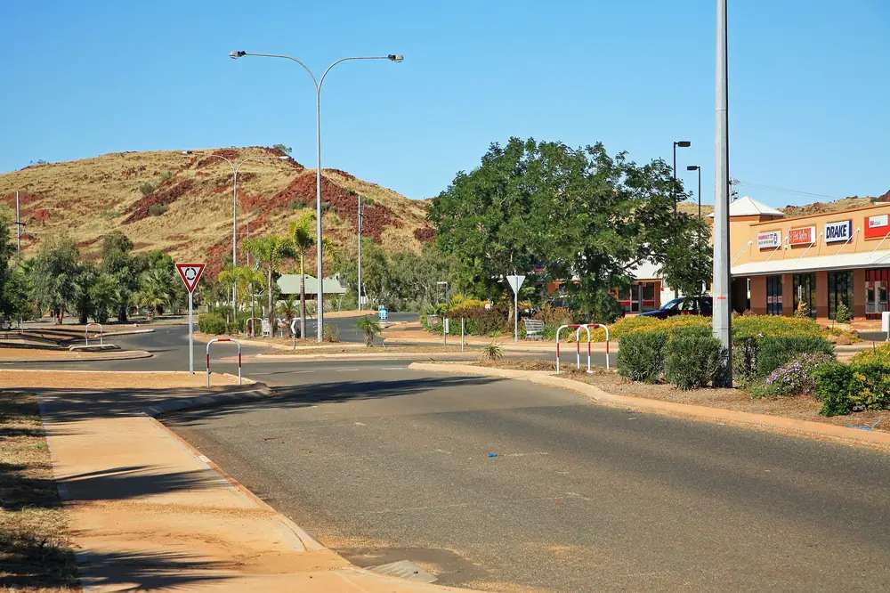
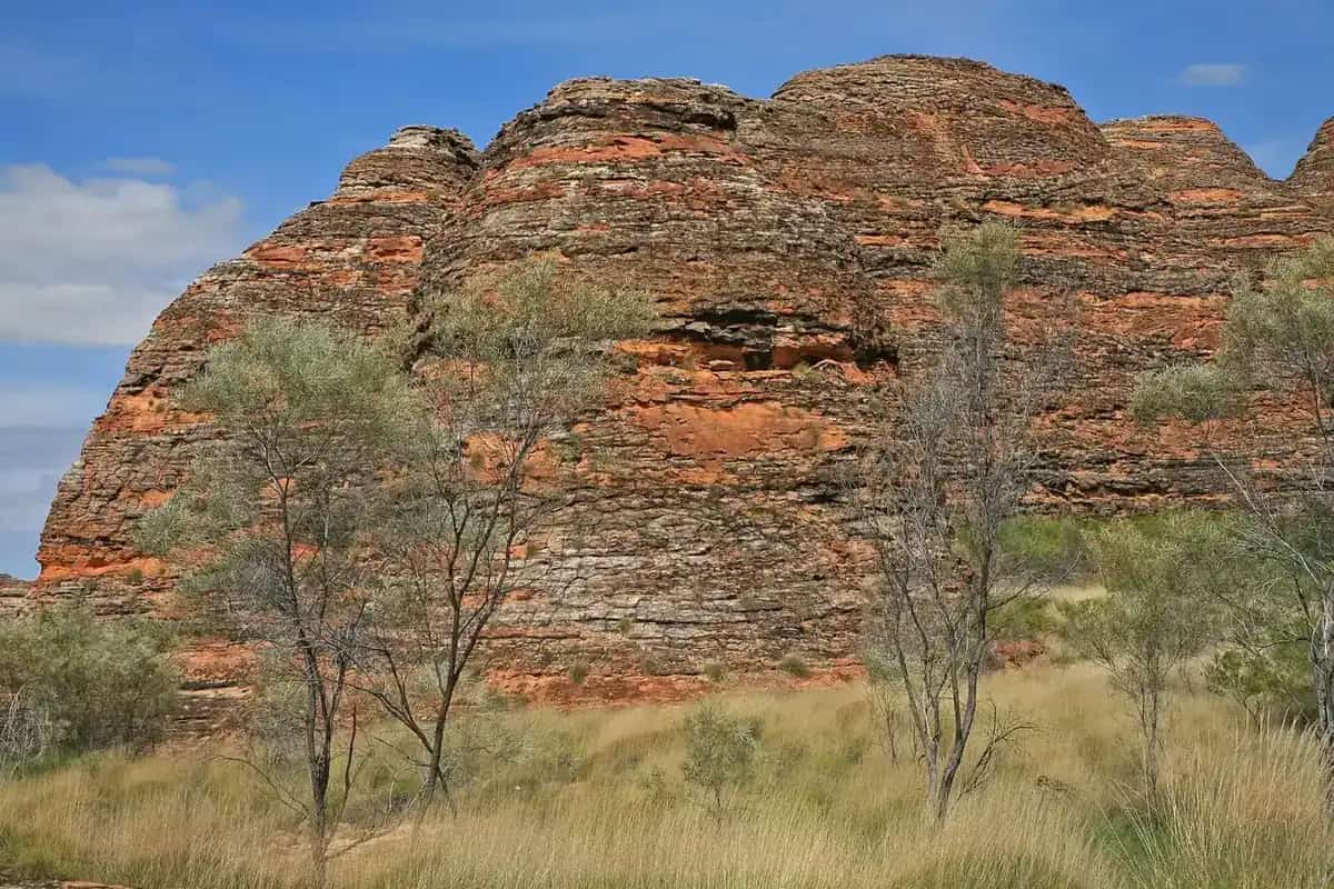
Street in KarrathaPhoto: W. Bulach · CC BY-SA 4.0 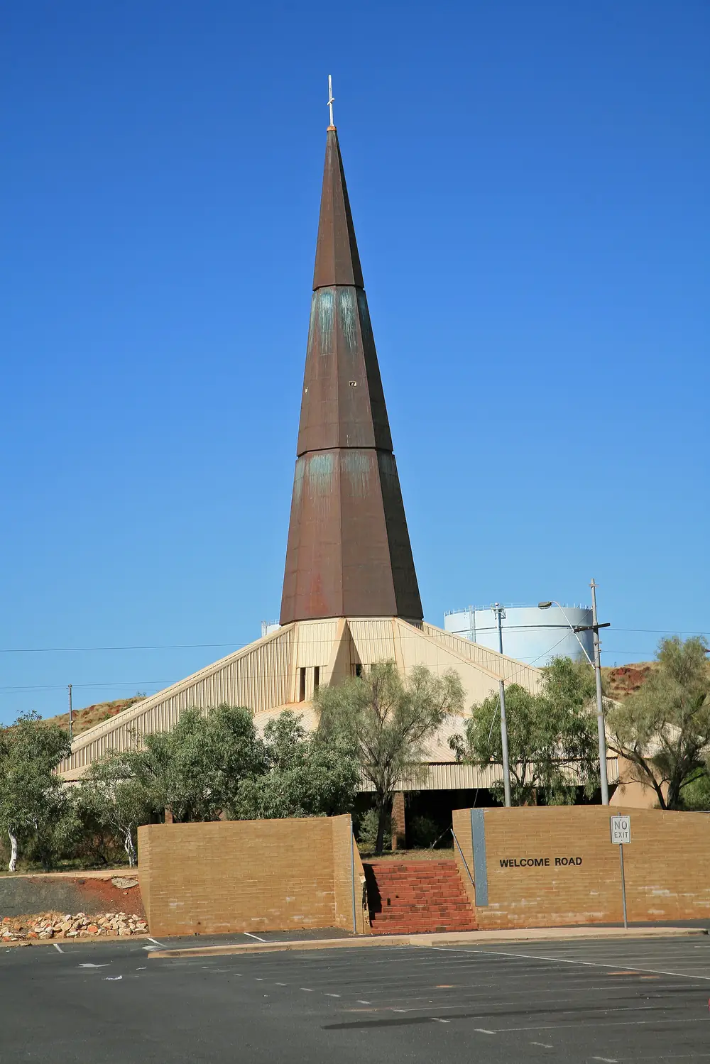
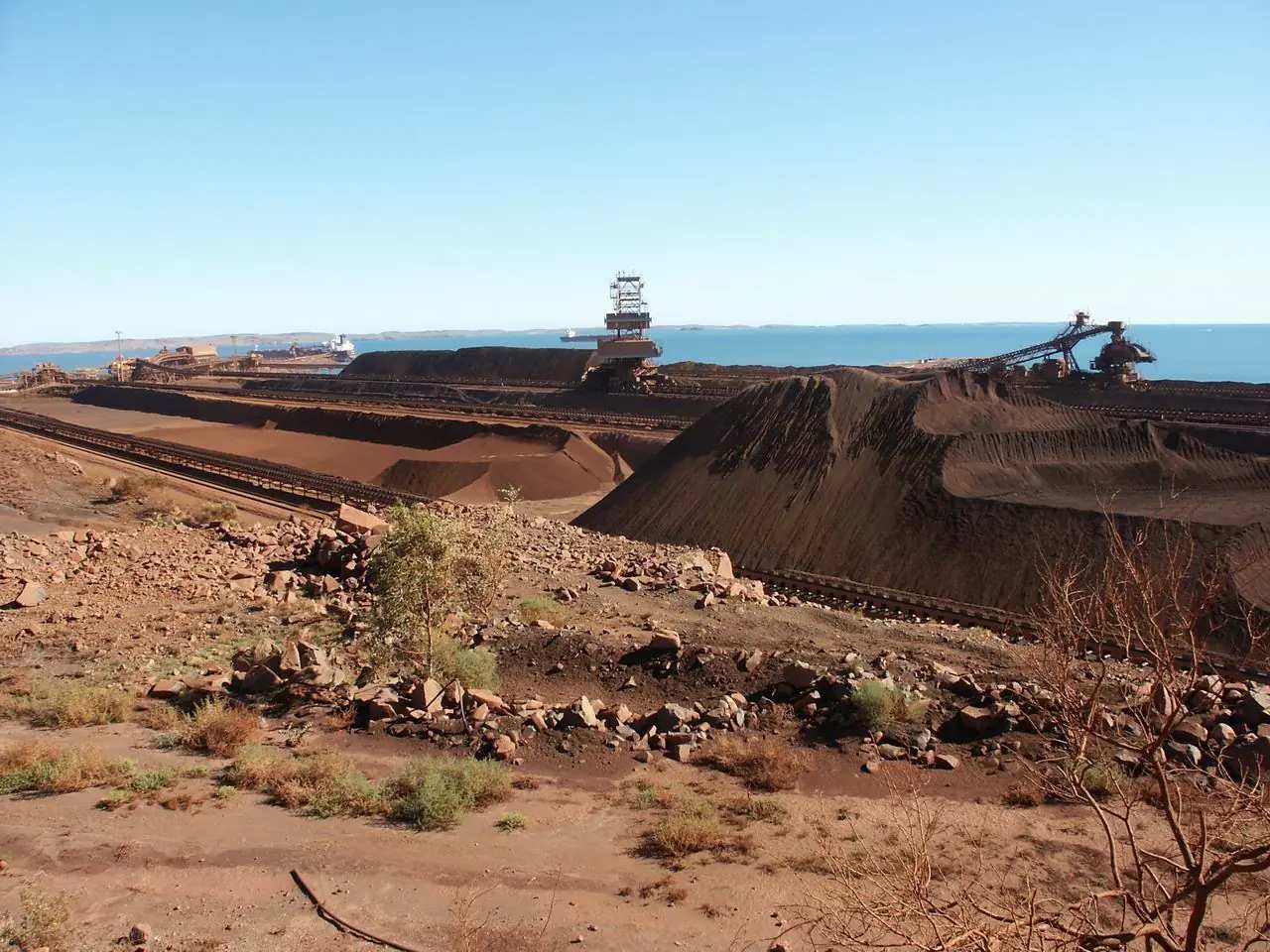
Church on Welcome Road in KarrathaPhoto: W. Bulach · CC BY-SA 4.0 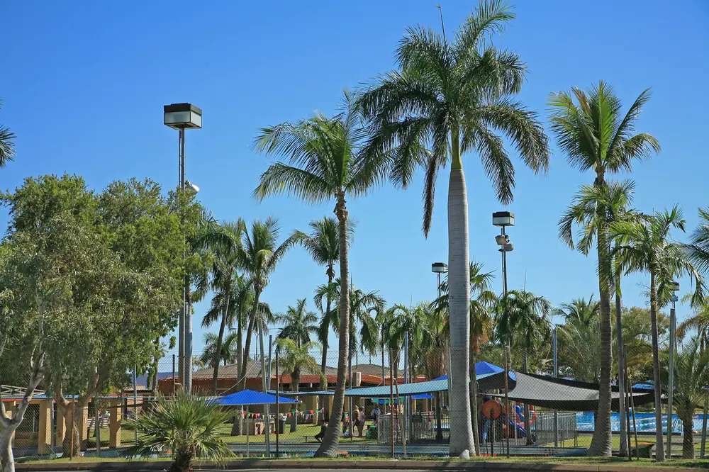
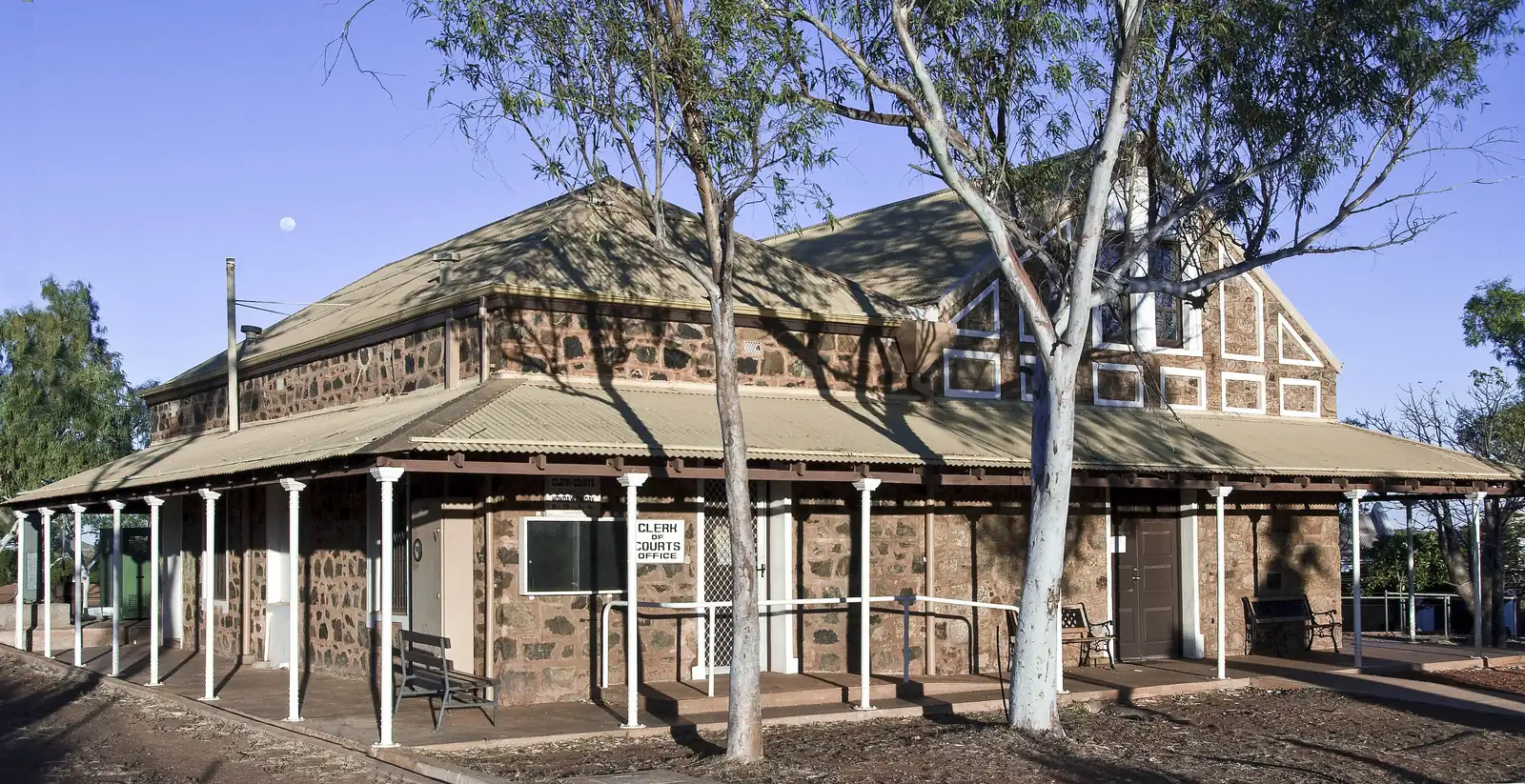
Swimming pool in KarrathaPhoto: W. Bulach · CC BY-SA 4.0 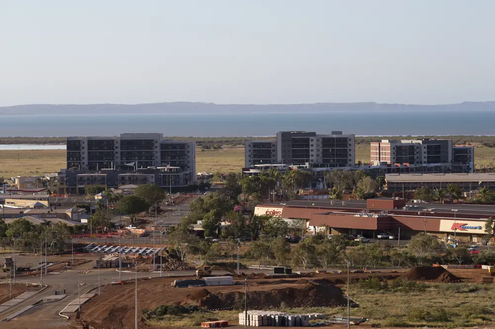
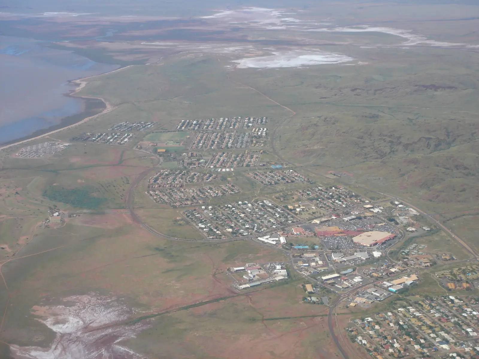
Karratha townscape toward Nickol BayPhoto: Jim Bendon · CC BY-SA 2.0
Karratha sits just off the North West Coastal Highway in Western Australia’s North West, inside the City of Karratha, on Nickol Bay in the Pilbara. Australia’s North West: 1,535 kilometres north of Perth and 240 kilometres south of Port Hedland. Tourism WA: a two-hour flight or a 16-hour road trip from Perth, and a three-hour drive south of Port Hedland. This hub is that city-gateway stay — not the port town of Dampier, not Wickham, not Roebourne and not Port Hedland. Geraldton and Darwin have no town pages here — named, not linked. Perth is the capital; it has no town page here.
Australia’s North West’s reinvented-city sentence is the hinge used here: a bustling city centre with hip restaurants and modern facilities, surrounded by iconic natural attractions. That is a Nickol Bay service-city story, not an 1865 Harding River gaol reprint of Roebourne and not a Cape Lambert company-town reprint of Wickham.
The ABS publishes two 2021 geographies that people mix. Use Significant Urban Area 5008: 17,013 people, median age 32, sex split 52.8% male / 47.2% female, Aboriginal and/or Torres Strait Islander people 1,530 (9.0%). 3,839 families, 7,610 private dwellings, average household 2.8. City of Karratha LGA54310 counted 22,199, median age 32, Indigenous 2,594 (11.7%). The LGA also covers Dampier, Wickham, Roebourne and other localities. Do not mix them. Travellers stop for Murujuga, Hearson’s Cove and a highway night. You still need Main Roads WA after rain or a cyclone watch.
Where it is, and how far
Karratha is the western Pilbara city just off the sealed North West Coastal Highway. Perth to Darwin via the Pilbara is the long corridor. Tourism WA also names the Warlu Way, an interpretive 2,480-kilometre self-drive trail. Australia’s North West: Qantas and Virgin fly from Perth; Nexus connects Karratha with Broome, Port Hedland and Geraldton; Integrity Coachlines runs Perth and Broome coaches.
Official Port Hedland measures do not agree as a single number. Print both. Murujuga drive times do not agree either.
| Place | Distance from Karratha (sourced) |
|---|---|
| Perth | 1,535 km (Australia’s North West). Two-hour flight or 16-hour road trip (Tourism WA) |
| Port Hedland | 240 km north (Australia’s North West Karratha). Three-hour drive (Tourism WA). 200 km on Australia’s North West’s 3-day Port Hedland itinerary |
| Dampier | 20 km west (Australia’s North West Dampier and Karratha) |
| Hearson’s Cove / Burrup | Within a twenty-minute drive (Australia’s North West Karratha; Tourism WA) |
| Murujuga National Park | Around 35 km / about 40 minutes via Dampier Highway and Burrup Road (Australia’s North West Murujuga). Twenty minutes on the Karratha destination page. This hub does not pick one |
| Cleaverville Creek | Thirty-minute drive (Australia’s North West Karratha) |
| Millstream Chichester | Two-hour drive (Australia’s North West Karratha; Tourism WA). 134 km / 2.5-hour drive (Australia’s North West Millstream). Print both |
| Montebello Islands Marine Park | 120 km west of Dampier and 139 km north of Onslow (Australia’s North West Karratha) |
A Karratha–Marble Bar kilometre was not on those sourced town pages, so this hub does not invent one.
Facts at a glance
Population. ABS 2021 Census Significant Urban Area 5008: 17,013 people. Median age 32. Use the SUA QuickStats. LGA LGA54310: 22,199. Do not mix.
Climate. Bureau of Meteorology KARRATHA AERO, 004083, 20.71°S, 116.77°E, elevation 5 m, commenced 1971, status: open, latest available data 13 November 2026. Mean maximum (33 years, 1993–2026): March 36.3 °C, July 26.5 °C, annual 32.6 °C. Mean minimum: January 27.0 °C, July 13.8 °C, annual 21.0 °C. Mean rainfall (49 years, 1972–2026): annual 297.8 mm; February 74.7 mm wettest mean month; October 0.4 mm driest. Do not blend Roebourne Aero 004090 or Port Hedland Airport 004032 into these YAML months. See Karratha weather.
Visitor information. Australia’s North West names the Karratha Tourism and Visitor Centre and Water Tank Hill Lookout above it. The City camping brochure (Dec 2011) prints Karratha Road and 9144 4600 — an older camping list; confirm the desk is actually open. Tourism WA: the Jaburara Heritage Trail starts from the Visitor Centre. Roads: Main Roads WA.
Traditional Owners
Australia’s North West Karratha FAQ: home to the Ngarluma and Yinidbarndi people for many generations; the locals acknowledge them as the region’s traditional landowners. The same FAQ: Karratha takes its name from one of WA’s early pastoral stations; an Aboriginal word meaning “good country” or “soft earth”. Parks WA Murujuga: Mardudhunera, Ngarluma, Wong-Goo-Tt-Oo, Yaburara and Yindjibarndi, collectively Ngarda-Ngarli, Traditional Owners of Murujuga National Park. Murujuga means “Hip Bone Sticking Out” in the Ngarluma-Yaburara language. Confirm current wording at the Visitor Centre or Murujuga Aboriginal Corporation. See visiting Country respectfully.
History
Australia’s North West and Tourism WA treat Karratha as the later city beside an older port: Dampier was built by Hamersley Iron in 1965 on Australia’s North West Dampier page; the Karratha destination pages then describe a reinvented city centre and the largest shopping centre in the North West. This hub does not invent a gazettal year the destination pages do not print. The older administrative town on this highway is Roebourne — gazetted in 1866 on City of Karratha pages — not this city.
Iron ore still rails to Dampier and Cape Lambert on this site’s Tom Price wording. That is a port-and-rail overlay, not a reason to flatten Dampier’s Red Dog walk onto Karratha’s main street.
Things to do
Australia’s North West and Tourism WA name these in and around Karratha:
- Water Tank Hill Lookout — Australia’s North West; above the Visitor Centre
- Yaburara / Jaburara Heritage Trail — Australia’s North West: 3.5 km through the Karratha hills. Tourism WA: starts from the Visitor Centre; introduction to the Jaburara people
- Hearson’s Cove — twenty minutes on both destination pages; Tourism WA Staircase to the Moon at full moon April to October
- Murujuga National Park (Burrup Peninsula) — Parks WA and Australia’s North West; petroglyphs; Nganjarli (Deep Gorge) boardwalk 700 m on Parks WA. This site has no Murujuga park page — use Parks WA Murujuga
- Dampier Archipelago — Tourism WA: 42 islands and islets within a 45-kilometre radius of neighbouring Dampier. Boat, not a Karratha footpath
- Cleaverville Creek — thirty minutes; fishing and camping on Australia’s North West. Confirm whether a site is actually open; City wording bans free camping at Hearson’s Cove
Nearby, not in-town: Millstream Chichester National Park is a two-hour / 134 km / 2.5-hour park day on official pages. Karijini National Park is further south on Tourism WA — a Tom Price gateway, not a Karratha suburb. Roebourne, Cossack, Wickham and Point Samson are east on the Point Samson–Roebourne road.
Where to stay
The City of Karratha camping brochure names Balmoral Holiday Park (Balmoral Road), Karratha Caravan Park (Mooligunn Road) and Pilbara Holiday Park (Rosemary Road). Australia’s North West names Discovery Parks – Pilbara Karratha and Econo Lodge Karratha. Tourism WA: a good selection from luxury to budget-friendly. Those are official named types. This hub does not reprint dollar figures that date. If Karratha is full, Dampier Transit Park and Point Samson parks sit in the same City brochure.
- How to choose: Karratha accommodation
- Camping detail: Karratha caravan parks
- Operator enquiries: feature your business
Caravan and camping
Vans use Karratha as a North West Coastal Highway night and a Murujuga base. Official named camping in the city starts with the City brochure parks above. City wording: generally NO FREE CAMPING in the City, including town sites, car parks, coastal areas and bushland; camping is not permitted at Hearson’s Cove or any public area unless it is a caravan park or designated camping location. Nature-based campsites 1 May–30 September with a caretaker and fees — contact the City; cyclone-season closures once the shire goes to BLUE ALERT. Ask on arrival for stay limits. Read Karratha caravan parks and outback camping.
Fuel and services
Tourism WA: the largest shopping centre in the North West plus a good selection of accommodation. Australia’s North West treats Karratha as the flight, coach and highway service city. This guide does not invent a bowser brand. Confirm the pump is actually open; a shopping-centre sentence is not 2026 hours.
Karratha Health Campus (WACHS): 24/7 emergency department, ambulatory care, day surgery, pharmacy, inpatient unit, maternity and obstetrics, allied health, mental health, population health, medical imaging, pathology, cancer services, palliative care, telehealth and a named specialist outpatient list. Roebourne Hospital is the Harding River campus — a different town. For maps use the Visitor Centre Australia’s North West names. Roads: Main Roads WA.
Road access
The North West Coastal Highway and Dampier Highway are sealed on the destination pages. Australia’s North West Millstream: access via a sealed road; the turnoff is just 15 minutes from Karratha, or 28 kilometres south-east of Roebourne on the Roebourne–Wittenoom Road; permits are not required for either of those roads. After rain, park approaches still close. Main Roads first.
West: Dampier 20 km. East: Roebourne, then Wickham, Point Samson and Cossack, then Port Hedland. Inland: Tom Price and Paraburdoo for Karijini; Pannawonica is the closed Robe River town. Onslow is the Ashburton coast. Perth to Darwin via the Pilbara is the long corridor.
Nearby parks and towns
Named nature on official pages:
- Murujuga National Park — Parks WA; no park page on this site
- Dampier Archipelago — Tourism WA / Australia’s North West; boat
- Millstream Chichester National Park
- Karijini National Park — Tom Price / Paraburdoo gateway
- Montebello Islands Marine Park — offshore from Dampier on Australia’s North West
Towns on this site:
- Dampier — 20 km west, port town
- Roebourne — 1866 Harding River town
- Wickham — City of Karratha neighbour on the Point Samson road
- Point Samson — fishing village
- Cossack — historic Ngarluma townsite
- Port Hedland — Town of Port Hedland city
- Tom Price — Karijini gateway
- Onslow — Ashburton coast
- Pannawonica — closed Robe River town
- Newman — East Pilbara iron-ore neighbour
- Marble Bar — East Pilbara heat town
Exmouth and Carnarvon are Wave 10 highway neighbours on this North West hub. Geraldton and Darwin have no town pages here.
When to go, and how long
Australia’s North West’s Port Hedland itinerary treats May to September as the tour window on this coast, with October to January for turtle nesting at Cemetery Beach — that turtle sentence is Port Hedland, not a Karratha beach this hub will invent. Tourism WA Staircase to the Moon at Hearson’s Cove: full moon April to October. BOM Karratha Aero’s March mean maximum of 36.3 °C is hot Pilbara late summer. July’s 26.5 °C mean maximum and 13.8 °C mean minimum is the coolest mean-max month on that open table. February’s 74.7 mm is the wettest mean month on a 297.8 mm annual table. Cyclone watches still close City nature campsites on the brochure’s BLUE ALERT wording.
An hour covers Water Tank Hill and a Heritage Trail start if the lookout is reachable. A half day adds Hearson’s Cove in cooler hours. A full day is Murujuga’s Deep Gorge boardwalk plus a cove — Parks WA asks you to stay on designated paths and keep pets out. Millstream is a separate park day. Dampier is a twenty-kilometre port hour, not a Karratha suburb.
Operators who want a checked listing: feature your business. The listings slot on this hub stays empty until then.
Plan this trip
Tell us the dates, who you are travelling with and where you need help. We reply with planning notes for Karratha — we are not a booking agent.
Events and road-conditions newsletter
Occasional notes on outback festivals, race days and official road-condition sources — not a daily blast. We use these details only to send the newsletter.
Western Australia · North West
Karratha accommodation
Where to stay in Karratha: City of Karratha names Balmoral, Karratha Caravan Park and Pilbara Holiday Park. Australia’s North West names Discovery Parks – Pilbara Karratha and Econo Lodge. Confirm before you unhitch.
Read · 3 min
Western Australia · North West
Karratha caravan parks
Camping in Karratha: City of Karratha names Balmoral Holiday Park, Karratha Caravan Park and Pilbara Holiday Park. Australia’s North West names Discovery Parks – Pilbara Karratha. No free camping including Hearson’s Cove.
Read · 3 min
Western Australia · North West
Karratha weather
Karratha climate from open BOM Karratha Aero (004083): March mean max 36.3 °C, July 26.5 °C, annual rainfall 297.8 mm with February 74.7 mm. Do not blend with Roebourne Aero or Port Hedland Airport.
Read · 4 min
Western Australia · North West
Things to do in Karratha
Things to do in Karratha: Water Tank Hill, 3.5 km Yaburara Heritage Trail, Hearson’s Cove, Murujuga. This is the City of Karratha seat, not Dampier, Wickham, Roebourne or Port Hedland.
Read · 4 min
Frequently asked questions
Is Karratha the same as Dampier, Wickham or Port Hedland?
No. This hub is Karratha, the City of Karratha seat in Western Australia, just off the North West Coastal Highway. Australia’s North West puts Dampier 20 kilometres west. Wickham and Roebourne sit east on the Point Samson–Roebourne geometry named on Tourism WA. Port Hedland is a separate Town of Port Hedland city on the same highway. Do not treat the five as one stay.
How far is Karratha from Perth and Port Hedland?
Australia’s North West: 1,535 kilometres north of Perth and 240 kilometres south of Port Hedland. Tourism WA: a two-hour flight or a 16-hour road trip from Perth, and a three-hour drive south of Port Hedland. Australia’s North West’s 3-day Port Hedland itinerary prints Port Hedland 200 km north of Karratha. This hub prints the disagreement and does not pick a single Port Hedland kilometre.
What is Karratha’s population?
17,013 people at the 2021 Census for Significant Urban Area 5008, median age 32, Aboriginal and/or Torres Strait Islander people 1,530 (9.0%). City of Karratha LGA54310 counted 22,199. Do not mix the urban area with the local government area that also includes Dampier, Wickham and Roebourne.
What is there to do in Karratha?
Australia’s North West names Water Tank Hill Lookout above the Visitor Centre, the 3.5 km Yaburara Aboriginal Heritage Walk Trail, Hearson’s Cove, Murujuga / Burrup rock engravings, Dampier as a twenty-minute drive, Cleaverville Creek at thirty minutes, and Millstream-Chichester as a two-hour drive. Tourism WA names the Jaburara Heritage Trail, Dampier Archipelago, Staircase to the Moon at Hearson’s Cove between April and October, and Karijini further south. This site has no Murujuga park page — use Parks WA.
What is the weather like in Karratha?
BOM Karratha Aero (004083, open): March mean maximum 36.3 °C, July 26.5 °C, annual rainfall 297.8 mm (49 years, 1972–2026). February is the wettest mean month at 74.7 mm; October the driest at 0.4 mm. Do not blend this table with Roebourne Aero or Port Hedland Airport.
Can I camp at Karratha?
Yes, as named types. The City of Karratha camping brochure names Balmoral Holiday Park, Karratha Caravan Park on Mooligunn Road, and Pilbara Holiday Park on Rosemary Road. Australia’s North West names Discovery Parks – Pilbara Karratha. City wording: generally no free camping in the City, including Hearson’s Cove. Confirm on arrival. This hub does not invent extra parks.
Sources and further reading
Facts on this page were checked against these primary and official sources. Conditions change — confirm before you travel or buy.
- Karratha 2021 Census QuickStats (SUA 5008) — Australian Bureau of Statistics
- Karratha 2021 Census QuickStats (LGA54310) — Australian Bureau of Statistics
- Climate statistics for Karratha Aero (004083) — Bureau of Meteorology
- Karratha — Australia's North West
- Karratha — Tourism Western Australia
- Murujuga National Park — Parks and Wildlife Service, DBCA
- Murujuga National Park (Burrup Peninsula) — Australia's North West
- Millstream Chichester NP — Australia's North West
- Millstream Chichester National Park — Parks and Wildlife Service, DBCA
- Camping in the City of Karratha — City of Karratha
- Karratha Health Campus — WA Country Health Service
- Main Roads WA travel map — Main Roads Western Australia